 Block
Macksville, Kansas
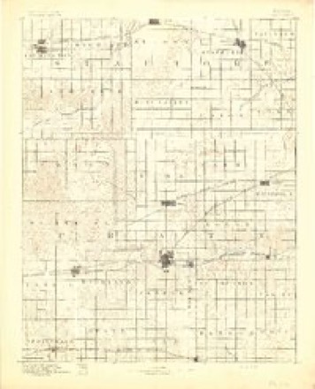
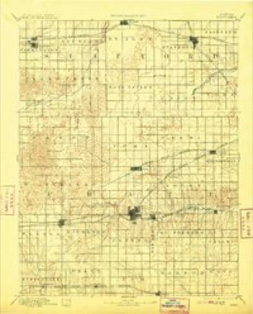
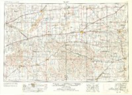
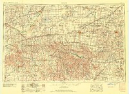
14 topographic sheets cover this place, the earliest surveyed in 1892 and the latest in 1985. It stands in Farmington Township. It lies in ZIP code area 67557. The Survey maps it on the Macksville quadrangle. 471 people lived here at the 2020 count. It stands 2,024 feet above sea level.
Population over time
2 figuresMacksville fell from 549 to 471 between 2010 and 2020. These are the recorded population figures Wikidata holds for this place, reached through the Geographic Names Information System number this page is keyed on rather than by name, so they belong to this place and not to another of the same name. Most are census counts, but not all are: an early figure may be a founding or settlement estimate, and an estimate published within five years of a census is left out. The change column is computed, and is left blank where more than 20 years separate a figure from the one before it, because a gap that long is not a change between two counts.
| Year | People | Change |
|---|---|---|
| 2010 | 549 | |
| 2020 | 471 | -78 (-14%) |
Topographic sheets covering this place
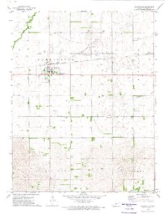
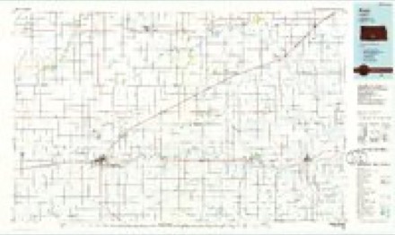
6 surveys from 14 printed sheetsMatched by testing this settlement's coordinate against the published boundary of every sheet in the United States Geological Survey's historical collection. Each opens the scanned sheet at the Survey.
- 1892 USGS Pratt quadrangle1:125000
- 1894 USGS Pratt quadrangle1:125000, 5 printings
- 1955 USGS Pratt quadrangle1:250000, 3 printings
- 1959 USGS Pratt quadrangle1:250000, 2 printings
- 1972 USGS Macksville quadrangle1:24000
- 1985 USGS Pratt quadrangle1:100000, 2 printings
Fires near this place
4 since 2015Regional context, not property-specific evidence. The federal wildfire occurrence database lists 4 fires within 5 miles of Macksville between 2015 and 2017, burning about 33 acres in total. 1 started naturally. None was recorded as arson. Distance is straight-line from the map coordinates, so a fire counted here may appear on a neighbouring settlement's page as well.
| Reported cause | Fires |
|---|---|
| Debris and open burning | 2 |
| Equipment and vehicle use | 1 |
| Natural | 1 |
The most recent of them, most recent first, with the day each was reported and the service that recorded it.
| Date | Cause | Size | Reported by | Name on the report |
|---|---|---|---|---|
| 27 June 2015 | Equipment and vehicle use | 30 acres | Kansas Forest Service | 57 |
| 21 June 2017 | Natural | under an acre | Stafford County | 57 |
| 21 March 2015 | Debris and open burning | under an acre | Kansas Forest Service | 16 |
| 15 January 2015 | Debris and open burning | 3.0 acres | Kansas Forest Service | 3 |
Settlements close enough to share some of these fires:
Storms near this place
60 of 82 shownRegional context, not property-specific evidence. The National Weather Service names Macksville in 82 storm reports between 1993 and 2025: 48 hail, 20 thunderstorm wind, 5 tornado, 5 heavy rain. The reports record 1 death and 1 injury. Each account below is quoted exactly as the forecast office filed it, from the NOAA Storm Events Database, and each date opens the federal record of that event.
| When | Event | Place named | Harm | What the report says |
|---|---|---|---|---|
| May 2007 | Tornado (EF3) | Macksville | 1 killed | This killer tornado formed just east of another large but dissipating tornado that was approaching Macksville. Unfortunately a law officer watching the dissipating tornado was unaware that this one was rapidly forming and could not get out of harms way. His car was thrown at least 1/4 of a mile and was found in a field. He died several days later from catastrophic injuries received in the crushed vehicle. EF3 damage was done to over a dozen farms, trees, machinery, vehicles, pivot irrigation sprinklers and power poles. |
| May 2007 | Tornado (EF3) | Macksville | 1 hurt | This tornado moved out of northwest Pratt county and dissipated just south of Macksville. It did strong EF3 damage to farms, trees, machinery and vehicles. A Blazer was carried over 3/4 of a mile and was barely recognizable as a vehicle. Several dozen head of cattle were killed along with wildlife in the area. One well built home was completely swept off it's foundation. |
| May 2008 | Tornado (EF1) | Macksville | $65,000 | EF1 damage was done to trees and a pivot irrigation sprinkler. |
| May 2004 | Thunderstorm Wind | Macksville | $50,000 | A pivot irrigation center was blown over |
| April 2025 | Thunderstorm Wind | Macksville | - | A public report of a 62 mph wind gust. |
| June 2025 | Thunderstorm Wind | Macksville | - | A report of an estimated 67 mph winds came from the Public. |
| May 2024 | Heavy Rain | Macksville | - | Rainfall report of 1.87 inches. |
| July 2020 | Heavy Rain | Macksville | - | Rainfall of 2.95 inches was observed with the majority of the rain falling in a 3 hour period. |
| June 2020 | Thunderstorm Wind | Macksville | - | A grain cart was overturned by the high wind. |
| April 2017 | Flash Flood | Macksville | - | Water was across many county roads and even across parts of US 50 in Macksville. Many ditches were full of water. Also, Rattlesnake creek had risen 6 to 8 inches in a matter of hours. |
| May 2015 | Thunderstorm Wind | Macksville | - | A 70 mph wind gust was estimated. |
| June 2014 | Thunderstorm Wind | Macksville | - | Tree branches of 6 to 8 inches in diameter were blown down by the high wind. |
| May 2013 | Thunderstorm Wind | Macksville | - | Winds were estimated to be 80 MPH. |
| May 2013 | Thunderstorm Wind | Macksville | - | Winds were estimated to be 80 MPH. |
| July 2008 | Heavy Rain | Macksville | - | Rainfall of 3.75 fell. |
| July 2008 | Heavy Rain | Macksville | - | Rainfall of 3.75 fell. |
| July 2008 | Heavy Rain | Macksville | - | Rainfall of 3.25 fell. |
| May 2008 | Thunderstorm Wind | Macksville | - | High winds blew a car port 100 yards. |
| August 2007 | Thunderstorm Wind | Macksville | - | Three inch diameter tree limbs were blown down. |
| May 2007 | Flood | Macksville | - | Numerous roads and streets were reported to be curb-to-curb. |
| May 2007 | Flood | Macksville | - | A number or roads reportedly were curb-to-curb. |
| June 2006 | Thunderstorm Wind | Macksville | - | Huge cottonwood trees were uprooted. Three pivot irrigation sprinklers were overturned. Four power poles were snapped. |
| June 2006 | Tornado (F0) | Macksville | - | A brief tornado touched down without doing any damage. |
| July 2005 | Thunderstorm Wind | Macksville | - | Tree limbs blown down. |
| May 2004 | Thunderstorm Wind | Macksville | - | A large tree limb was blown onto power lines knocking out power to Macksville for 11 hours |
| June 2000 | Flash Flood | Macksville | - | Water was flowing over highway 50. |
| May 1999 | Thunderstorm Wind | Macksville | - | Five inch diameter tree limbs blown down. |
| May 1995 | Hail | Macksville | - | Wind gusts in excess of 60 mph. |
| April 1994 | Thunderstorm Wind | Macksville | - | Power lines downed leaving Macksville without power. |
| May 1993 | Tornado (F0) | Macksville | - | Tornado touched down for a brief time with no damage reported. |
| May 2023 | Hail | Macksville | - | no account filed |
| July 2023 | Hail | Macksville | - | no account filed |
| June 2018 | Hail | Macksville | - | no account filed |
| June 2018 | Hail | Macksville | - | no account filed |
| August 2016 | Hail | Macksville | - | no account filed |
| May 2011 | Hail | Macksville | - | no account filed |
| April 2011 | Hail | Macksville | - | no account filed |
| April 2011 | Hail | Macksville | - | no account filed |
| April 2011 | Hail | Macksville | - | no account filed |
| April 2009 | Hail | Macksville | - | no account filed |
| June 2009 | Hail | Macksville | - | no account filed |
| April 2009 | Hail | Macksville | - | no account filed |
| May 2008 | Hail | Macksville | - | no account filed |
| May 2008 | Hail | Macksville | - | no account filed |
| May 2008 | Hail | Macksville | - | no account filed |
| August 2007 | Hail | Macksville | - | no account filed |
| May 2007 | Hail | Macksville | - | no account filed |
| July 2006 | Hail | Macksville | - | no account filed |
| September 2006 | Hail | Macksville | - | no account filed |
| April 2005 | Hail | Macksville | - | no account filed |
| July 2005 | Hail | Macksville | - | no account filed |
| July 2005 | Hail | Macksville | - | no account filed |
| July 2005 | Hail | Macksville | - | no account filed |
| July 2005 | Hail | Macksville | - | no account filed |
| August 2005 | Hail | Macksville | - | no account filed |
| March 2004 | Hail | Macksville | - | no account filed |
| June 2004 | Hail | Macksville | - | no account filed |
| April 2002 | Hail | Macksville | - | no account filed |
| April 2002 | Hail | Macksville | - | no account filed |
| May 2002 | Hail | Macksville | - | no account filed |
Nearest settlements
The eight closest, with where each one stands in the county. Distances are straight-line, computed from the Geographic Names Information System coordinates.
Elsewhere
Matched on this settlement's Geographic Names Information System number rather than its name, so it cannot be a different place of the same name in another state.
| Wikipedia article on Macksville | An encyclopaedic summary. Its text is share-alike, so it is linked here rather than copied. |
| Wikidata item Q2666579 | The structured record the population and elevation above come from. Public domain (CC0). |
Provenance
This settlement is recorded in the Geographic Names Information System as feature 484347. The sheet list is computed by point-in-boundary test against the United States Geological Survey's historical topographic inventory. Both are works of the United States government and carry no copyright under 17 U.S.C. 105.
Wildfire. Short, Karen C. 2022. Spatial wildfire occurrence data for the United States, 1992-2020 [FPA_FOD_20221014]. 6th Edition. Fort Collins, CO: Forest Service Research Data Archive. https://doi.org/10.2737/RDS-2013-0009.6 Collected with United States Government funding and usable without additional permissions or fees.
Storms. NOAA National Centers for Environmental Information, Storm Events Database https://www.ncei.noaa.gov/stormevents/ A work of the United States government, no copyright under 17 U.S.C. 105. Narratives are quoted verbatim from the National Weather Service report and are not edited or summarised.