 Block
Mullinville, Kansas
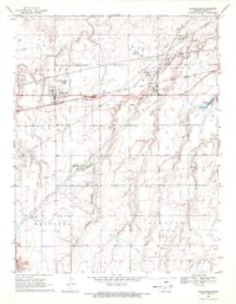
18 topographic sheets cover this place, the earliest surveyed in 1889 and the latest in 1985. It stands in Kiowa Rural Township. It lies in ZIP code area 67109. The Survey maps it on the Mullinville quadrangle. 197 people lived here at the 2020 count. It stands 2,323 feet above sea level.
On record in Mullinville
Buildings and businesses the archive holds for this place. Each opens its own page, with the source record it came from.
On the National Register 1 record
 Fromme-Birney Round Barnlisted 1987
Population over time
2 figuresMullinville fell from 255 to 197 between 2010 and 2020. These are the recorded population figures Wikidata holds for this place, reached through the Geographic Names Information System number this page is keyed on rather than by name, so they belong to this place and not to another of the same name. Most are census counts, but not all are: an early figure may be a founding or settlement estimate, and an estimate published within five years of a census is left out. The change column is computed, and is left blank where more than 20 years separate a figure from the one before it, because a gap that long is not a change between two counts.
| Year | People | Change |
|---|---|---|
| 2010 | 255 | |
| 2020 | 197 | -58 (-23%) |
Topographic sheets covering this place
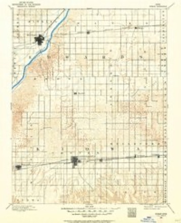
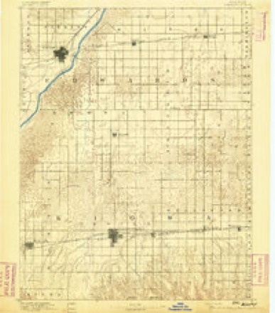
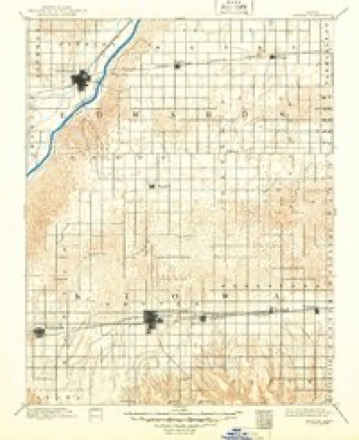
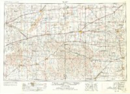
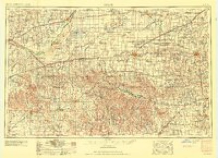
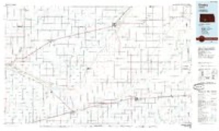
7 surveys from 18 printed sheetsMatched by testing this settlement's coordinate against the published boundary of every sheet in the United States Geological Survey's historical collection. Each opens the scanned sheet at the Survey.
- 1889 USGS Kinsley quadrangle1:125000
- 1892 USGS Kinsley quadrangle1:125000
- 1894 USGS Kinsley quadrangle1:125000, 8 printings
- 1955 USGS Pratt quadrangle1:250000, 3 printings
- 1959 USGS Pratt quadrangle1:250000, 2 printings
- 1969 USGS Mullinville quadrangle1:24000
- 1985 USGS Kinsley quadrangle1:100000, 2 printings
Fires near this place
1 since 2018Regional context, not property-specific evidence. The federal wildfire occurrence database lists 1 fire within 5 miles of Mullinville in 2018, burning about 450 acres in total. None started naturally. None was recorded as arson. Distance is straight-line from the map coordinates, so a fire counted here may appear on a neighbouring settlement's page as well.
| Reported cause | Fires |
|---|---|
| Missing data/not specified/undetermined | 1 |
The most recent of them, most recent first, with the day each was reported and the service that recorded it.
| Date | Cause | Size | Reported by | Name on the report |
|---|---|---|---|---|
| 15 March 2018 | Missing data/not specified/undetermined | 450 acres | Kiowa County | COTTON BALE |
Settlements close enough to share some of these fires:
Storms near this place
60 of 159 shownRegional context, not property-specific evidence. The National Weather Service names Mullinville in 159 storm reports between 1993 and 2025: 107 hail, 29 thunderstorm wind, 12 tornado, 7 heavy rain. The reports record 11 deaths and 64 injuries. Each account below is quoted exactly as the forecast office filed it, from the NOAA Storm Events Database, and each date opens the federal record of that event.
| When | Event | Place named | Harm | What the report says |
|---|---|---|---|---|
| May 2007 | Tornado (EF5) | Mullinville | 11 killed, 63 hurt, $250,000,000 | This killer tornado started in Comanche county and crossed into Kiowa county at 2003 CST / 2103 CDT. It curved north then northwest before making a complete loop northwest of Greensburg. Thus, the path was 25.8 miles.||This tornado destroyed nearly 95 percent of the town of Greensburg and despite adequate warning, unfortunately took the life of 11 people, some that were in basements. First responders arriving on the scene requested three refrigerated refer trucks thinking there would be hundreds of fatalities. It also destroyed a dozen homes and a church south of Greensburg but did not cause injury. In all, 961 homes and businesses were destroyed, 216 received major damage and 307 received minor damage. ||As the tornado was dissipating it turned northwest, west, south and then back east making a loop. This was documented on both high resolution doppler radar and through the ground survey. Also as the tornado was dissipating a new circulation quickly grew northeast of town.||Several oil storage tanks were destroyed causing an environmental concern. In the town of Greensburg, hazardous material was strewn everywhere. As of July 26th, the debris was still not fully cleaned up. Two landfills were filled with debris from the town and this was even as most was burned. Hundreds of thousands of dump truck loads were taken out. It was estimated that approximately 400,000 cubic yards of debris was removed. The major highway running through town was closed for 1 full month.||At one time there were over 150 law enforcement officers (from all over the country) present. Military was called in for debris removal and rebuilding. ||Damage of insured losses exceeded $150 million, but including un-insured losses, was roughly 250 million dollars.||**** NOTE **** The 11th victim passed away on September 19th, 2007 after a long battle with a head injury sustained during the tornado. |
| May 2002 | Tornado (F3) | Mullinville | 1 hurt, $800,000 | This tornado moved slowly east/northeast at first and then turned south/southeast striking two farms. One person was thrown from the house and into the yard. |
| June 1996 | Thunderstorm Wind | Mullinville | $1,500,000 | no account filed |
| March 2021 | Thunderstorm Wind | Mullinville | $20,000 | Roof damage and broken windows resulted from the high wind. A nearby weather station reported a gust to 105 MPH. |
| June 2013 | Tornado (EF1) | Mullinville | $18,000 | A detached garage was destroyed and thrown northwest by a small tornado that developed on the leading edge of the squall line. |
| July 2025 | Flash Flood | Mullinville | $5,000 | The Emergency management reported roads washed out in southwest Kiowa County. Time estimated. |
| August 2002 | Thunderstorm Wind | Mullinville | $500 | Heavy farm machinery was moved by the high wind. |
| March 2000 | Thunderstorm Wind | Mullinville | $200 | Trampoline was thrown into trees. |
| August 2025 | Thunderstorm Wind | Mullinville | - | The Mesonet station UP372 2.3 W Mullinville reported a 66 mph wind gust. |
| June 2024 | Flash Flood | Mullinville | - | Road over highway. |
| May 2024 | Heavy Rain | Mullinville | - | Rainfall report of 2.54 inches. |
| March 2021 | Thunderstorm Wind | Mullinville | - | Numerous windows were blown out by the high wind. |
| May 2019 | Thunderstorm Wind | Mullinville | - | Winds were estimated to be gusting to 70 MPH. |
| August 2019 | Thunderstorm Wind | Mullinville | - | An implement shed was damaged by high wind. |
| July 2018 | Heavy Rain | Mullinville | - | Rainfall of 2.00 inches was observed. |
| September 2018 | Heavy Rain | Mullinville | - | Rainfall of 4.51 inches was observed. |
| September 2018 | Flood | Mullinville | - | Was was about 1 foot deep across the streets. |
| June 2018 | Heavy Rain | Mullinville | - | Rainfall of 2.62 inches was observed. |
| December 2016 | Tornado (EF0) | Mullinville | - | This QLCS tornado moved out of Ford County at 10:31 AM. As it moved across Kiowa county at a rapid rate, it struck an outbuilding. This large cattle barn or quonset was damaged. Several feed bunks were lifted and carried west and others rolled out of the pens. Large round hay bales were blown off a stack and rolled 50 yards in several different directions. A 30 yard stretch of fencing was broken with dried vegetation removed from that area. |
| April 2015 | Hail | Mullinville | - | Most of the hail was pea sized and it covered the ground. |
| July 2014 | Heavy Rain | Mullinville | - | Rainfall of 3.10 fell during the 24 hour period. |
| July 2014 | Heavy Rain | Mullinville | - | Rainfall of 4.25 fell during the 24 hour period. |
| August 2012 | Thunderstorm Wind | Mullinville | - | Winds were estimated to be 60 MPH. |
| August 2012 | Thunderstorm Wind | Mullinville | - | Windows were blown out of a home. |
| August 2012 | Thunderstorm Wind | Mullinville | - | Minor roof damage was reported at the Methodist church in Mullinville. Several windows were cracked or broken. |
| June 2010 | Flood | Mullinville | - | Water washed over highway 54 east of Mullinville. Traffic was re-routed through town to highway 400. |
| May 2010 | Thunderstorm Wind | Mullinville | - | Tree branches 1 to 2 inches in diameter were blown down. |
| April 2009 | Hail | Mullinville | - | Dime to nickel sized hail covered the ground. |
| June 2009 | Tornado (EF0) | Mullinville | - | This was a small and brief tornado that moved across pasture land where nothing could be damaged. |
| May 2008 | Tornado (EF2) | Mullinville | - | This tornado moved out of Comanche county and did EF2 damage to trees and power poles. It crossed the path of the tornado that occurred on May 4, 2007. |
| May 2008 | Tornado (EF2) | Mullinville | - | This large tornado moved out of Clark county where it had done EF3 damage. In Kiowa county, EF2 damage was done to a concrete walled house. Trees also received EF2 damage. A power pole with transmission wire attached was deposited from an unknown location. The tornado turned sharply west towards the end of it's life. |
| August 2007 | Thunderstorm Wind | Mullinville | - | Six inch diameter tree branches were broken by the high wind. |
| May 2007 | Hail | Mullinville | - | The hail took the siding off the house. |
| May 2007 | Tornado (EF1) | Mullinville | - | This was a satellite tornado that moved into Kiowa county from Comanche county at 2009 CST. The tornado caused EF1 damage to some trees and was documented by both video from storm chasers and from a ground survey. |
| May 2007 | Tornado (EF0) | Mullinville | - | This was a brief satellite tornado that made contact for perhaps 30 seconds. |
| May 2005 | Thunderstorm Wind | Mullinville | - | Three to four inch diameter tree limbs were blown down. |
| May 2005 | Heavy Rain | Mullinville | - | Three inches of rain fell since 1 pm CST. |
| May 2002 | Tornado (F1) | Mullinville | - | This tornado moved into the county from Edwards county and eventually merged with another larger tornado that forms at 1751 CST. |
| May 2002 | Tornado (F0) | Mullinville | - | This tornado moved in from Ford county. |
| July 2000 | Thunderstorm Wind | Mullinville | - | Two inch diameter branches broken. |
| June 1998 | Thunderstorm Wind | Mullinville | - | Damage was done to a hay shed. |
| May 1995 | Hail | Mullinville | - | Damage to siding from 90 mph wind and dime-size hail. |
| May 2024 | Hail | Mullinville | - | no account filed |
| May 2024 | Hail | Mullinville | - | no account filed |
| July 2023 | Thunderstorm Wind | Mullinville | - | no account filed |
| October 2023 | Hail | Mullinville | - | no account filed |
| October 2023 | Hail | Mullinville | - | no account filed |
| October 2023 | Hail | Mullinville | - | no account filed |
| August 2021 | Hail | Mullinville | - | no account filed |
| June 2020 | Hail | Mullinville | - | no account filed |
| May 2018 | Hail | Mullinville | - | no account filed |
| June 2018 | Hail | Mullinville | - | no account filed |
| May 2017 | Hail | Mullinville | - | no account filed |
| June 2017 | Hail | Mullinville | - | no account filed |
| May 2016 | Hail | Mullinville | - | no account filed |
| September 2016 | Hail | Mullinville | - | no account filed |
| May 2015 | Hail | Mullinville | - | no account filed |
| May 2015 | Hail | Mullinville | - | no account filed |
| April 2015 | Hail | Mullinville | - | no account filed |
| June 2015 | Hail | Mullinville | - | no account filed |
Nearest settlements
The eight closest, with where each one stands in the county. Distances are straight-line, computed from the Geographic Names Information System coordinates.
Elsewhere
Matched on this settlement's Geographic Names Information System number rather than its name, so it cannot be a different place of the same name in another state.
| Wikipedia article on Mullinville | An encyclopaedic summary. Its text is share-alike, so it is linked here rather than copied. |
| Wikidata item Q1921539 | The structured record the population and elevation above come from. Public domain (CC0). |
Provenance
This settlement is recorded in the Geographic Names Information System as feature 474252. The sheet list is computed by point-in-boundary test against the United States Geological Survey's historical topographic inventory. Both are works of the United States government and carry no copyright under 17 U.S.C. 105.
Wildfire. Short, Karen C. 2022. Spatial wildfire occurrence data for the United States, 1992-2020 [FPA_FOD_20221014]. 6th Edition. Fort Collins, CO: Forest Service Research Data Archive. https://doi.org/10.2737/RDS-2013-0009.6 Collected with United States Government funding and usable without additional permissions or fees.
Storms. NOAA National Centers for Environmental Information, Storm Events Database https://www.ncei.noaa.gov/stormevents/ A work of the United States government, no copyright under 17 U.S.C. 105. Narratives are quoted verbatim from the National Weather Service report and are not edited or summarised.