 Block
Oaklawn, Kansas
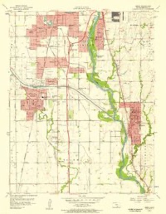
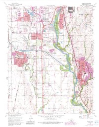
19 topographic sheets cover this place, the earliest surveyed in 1889 and the latest in 1990. It stands in Riverside Township. It lies in ZIP code area 67216. It stands on Chisholm Creek. The Survey maps it on the Derby quadrangle.
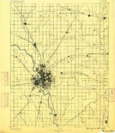
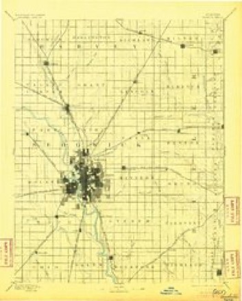
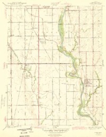
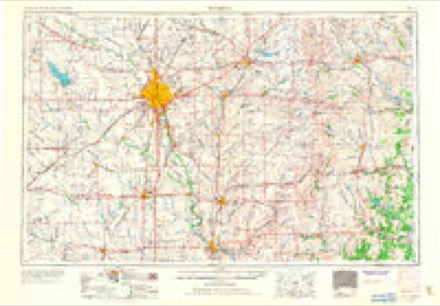
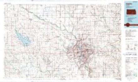
Topographic sheets covering this place
9 surveys from 19 printed sheetsMatched by testing this settlement's coordinate against the published boundary of every sheet in the United States Geological Survey's historical collection. Each opens the scanned sheet at the Survey.
- 1889 USGS Wichita quadrangle1:125000
- 1894 USGS Wichita quadrangle1:125000, 5 printings
- 1943 USGS Derby quadrangle1:31680, 2 printings
- 1955 USGS Wichita quadrangle1:250000, 3 printings
- 1956 USGS Derby quadrangle1:24000
- 1958 USGS Wichita quadrangle1:250000
- 1960 USGS Derby quadrangle1:24000, 4 printings
- 1985 USGS Wichita quadrangle1:100000
- 1990 USGS Wichita quadrangle1:100000
Fires near this place
404 since 2015Regional context, not property-specific evidence. The federal wildfire occurrence database lists 404 fires within 5 miles of Oaklawn between 2015 and 2020, burning about 120 acres in total. None started naturally. 2 were recorded as arson. Distance is straight-line from the map coordinates, so a fire counted here may appear on a neighbouring settlement's page as well.
| Reported cause | Fires |
|---|---|
| Missing data/not specified/undetermined | 274 |
| Debris and open burning | 60 |
| Equipment and vehicle use | 19 |
| Power generation/transmission/distribution | 14 |
| Smoking | 11 |
| Fireworks | 10 |
| Misuse of fire by a minor | 9 |
| Other causes | 4 |
| Arson/incendiarism | 2 |
| Recreation and ceremony | 1 |
The most recent of them, most recent first, with the day each was reported and the service that recorded it.
| Date | Cause | Size | Reported by | Name on the report |
|---|---|---|---|---|
| 9 September 2017 | Equipment and vehicle use | under an acre | Sedgwick County | 52170 |
| 9 September 2017 | Missing data/not specified/undetermined | under an acre | Sedgwick County | 52163 |
| 8 September 2017 | Debris and open burning | under an acre | Sedgwick County | 6453 |
| 6 September 2015 | Missing data/not specified/undetermined | under an acre | Kansas Forest Service | 1541 |
| 5 September 2015 | Missing data/not specified/undetermined | under an acre | Kansas Forest Service | 50175 |
| 25 September 2018 | Missing data/not specified/undetermined | under an acre | Kansas Forest Service | 56755 |
| 25 September 2015 | Missing data/not specified/undetermined | under an acre | Kansas Forest Service | 54103 |
| 24 September 2018 | Missing data/not specified/undetermined | under an acre | Kansas Forest Service | 56551 |
Settlements close enough to share some of these fires:
Mines and quarries near this place
2 within 5 milesRegional context, not property-specific evidence. The federal mineral resources record lists 2 workings within 5 miles of Oaklawn: 2 producers. All of them still produce. What was taken out: Sand and Gravel, Construction. Distance is straight-line from the map coordinates, so a quarry counted here may appear on a neighbouring settlement's page as well.
| Where | Site | Commodity | Status | Recorded |
|---|---|---|---|---|
| Nest Robins Pit | Sand and Gravel, Construction | Producer | ||
| Walt Keeler Sand Pit and Plant | Sand and Gravel, Construction | Producer |
Storms near this place
45 since 2006Regional context, not property-specific evidence. The National Weather Service names Oaklawn in 45 storm reports between 2006 and 2025: 19 hail, 15 thunderstorm wind, 7 flash flood, 3 flood. No death or injury is recorded in these reports. Each account below is quoted exactly as the forecast office filed it, from the NOAA Storm Events Database, and each date opens the federal record of that event.
| When | Event | Place named | Harm | What the report says |
|---|---|---|---|---|
| June 2022 | Thunderstorm Wind | Oaklawn | $3,000 | Report on social media of half of a tree was knocked down onto a mobile home. Damage to the mobile home is unknown. |
| September 2010 | Thunderstorm Wind | Oaklawn | $1,800 | Eight inch diameter tree limbs were knocked down, along with some telephone poles. |
| June 2008 | Tornado (EF0) | Oaklawn | $750 | A brief tornado touched down in a wheat field. The tornado also knocked down a few power poles. |
| June 2022 | Thunderstorm Wind | Oaklawn | $500 | Picture of a large tree branch snapped off. |
| September 2010 | Thunderstorm Wind | Oaklawn | $500 | Three inch diameter and eight foot long branches were knocked down. |
| September 2010 | Thunderstorm Wind | Oaklawn | $500 | A metal shed was blown over the road. |
| September 2016 | Flash Flood | Oaklawn | $100 | Briar Creek ran out of its banks just east of 47th and Woodlawn . The water was flowing rapidly across the bridge at a depth of 4 feet. |
| August 2025 | Hail | Oaklawn | - | This report was received via mPing. |
| May 2023 | Thunderstorm Wind | Oaklawn | - | Power lines were reported down at the 2300 block of south Victoria in Wichita. The lines were down in a yard. |
| May 2022 | Thunderstorm Wind | Oaklawn | - | Tree limbs of three to four inches in diameter were down near 63rd Street South and Hydraulic Street. |
| June 2022 | Thunderstorm Wind | Oaklawn | - | Report on social media of an uprooted tree. |
| June 2019 | Flash Flood | Oaklawn | - | Significant flooding was reported with roads near I-235 and MacArthur were under water. Cars were turning around to avoid the area. This reported was relayed via Twitter. |
| June 2017 | Flash Flood | Oaklawn | - | Several roads along highway K15 north of 47th street have water over them. |
| June 2017 | Hail | Oaklawn | - | Minor street flooding is also noted. |
| April 2016 | Flash Flood | Oaklawn | - | Water was around 2 feet deep at the Meridan/Esthner Intersection where cars stalled. The report was received via Twitter. |
| April 2016 | Flash Flood | Oaklawn | - | Street flooding occurred near the George Washington/East Lincoln Intersection. |
| April 2016 | Flash Flood | Oaklawn | - | An unspecified road was flooded. |
| April 2016 | Hail | Oaklawn | - | The hail occurred at the W. 47th St./S. Broadway Intersection. |
| April 2016 | Hail | Oaklawn | - | The hail occurred at the I-135/Pawnee Interchange. No damage was reported. |
| April 2016 | Hail | Oaklawn | - | The hail occurred near the 71st St./Broadway Intersection and was courtesy of a KWCH Channel 12 storm chaser. |
| April 2016 | Hail | Oaklawn | - | The hail occurred near the S. 55th St./Broadway Intersection and was reported via Twitter. No damage was reported. |
| April 2016 | Hail | Oaklawn | - | The hail occurred near the I-235/S. Meridian Intersection, but no damage was reported. |
| April 2016 | Hail | Oaklawn | - | The hail occurred near the S. Hydraulic/E. Lincoln Intersection. |
| May 2016 | Hail | Oaklawn | - | Public report via Twitter. Time is estimated from radar. |
| August 2016 | Thunderstorm Wind | Oaklawn | - | A former law enforcement officer reported 4 to 5 inch diameter limbs downed from a microburst near the Meridian/MacArthur Intersection. |
| August 2016 | Thunderstorm Wind | Oaklawn | - | A former law enforcement officer estimated 60 to 70 mph winds from a microburst at the Meridian/MacArthur Intersection. |
| May 2015 | Hail | Oaklawn | - | The report was received via Twitter. |
| May 2015 | Hail | Oaklawn | - | Sedgwick County Emergency Management relayed a report of quarter-sized hail occurring occurring at the Hydraulic/MacArthur intersection. |
| June 2014 | Flash Flood | Oaklawn | - | Flash flooding occurred across South Seneca Avenue between Interstate 235 and MacArthur Road. |
| June 2014 | Flood | Oaklawn | - | Television station KAKE reported, via twitter, that cars were submerged. |
| April 2012 | Flood | Oaklawn | - | Water was reported over the road. |
| May 2012 | Hail | Oaklawn | - | Occurred at Pawnee/Broadway intersection. |
| May 2012 | Thunderstorm Wind | Oaklawn | - | Occurred near S. 45th St./K-15 intersection. No damage reported. |
| April 2008 | Hail | Oaklawn | - | The hail was reported near the intersection of K15 and 47th Street South. |
| May 2008 | Hail | Oaklawn | - | KSN channel 3 reported the hail at the intersection of Macarthur and Hydraulic. |
| May 2008 | Flood | Oaklawn | - | Numerous thunderstorms with heavy rainfall produced flooding of traditional flood prone areas across Southwest Wichita. The Meridian and Orient intersection was impassable for a time due to high water. |
| May 2008 | Hail | Oaklawn | - | Reported at 31st and Meridian. |
| May 2008 | Hail | Oaklawn | - | Reported near the intersection of 47th and Clifton. Fifty mph winds also occurred at this location. |
| June 2014 | Thunderstorm Wind | Oaklawn | - | no account filed |
| July 2011 | Thunderstorm Wind | Oaklawn | - | no account filed |
| September 2010 | Hail | Oaklawn | - | no account filed |
| August 2009 | Hail | Oaklawn | - | no account filed |
| August 2009 | Hail | Oaklawn | - | no account filed |
| May 2008 | Thunderstorm Wind | Oaklawn | - | no account filed |
| July 2006 | Thunderstorm Wind | Oaklawn | - | no account filed |
Nearest settlements
The eight closest, with where each one stands in the county. Distances are straight-line, computed from the Geographic Names Information System coordinates.
| Map | Place | Distance | Sheets |
|---|---|---|---|
| Keeler | 0.3 miles | 19 | |
| Connell | 0.6 miles | 19 | |
| Mona Kay Heights | 1.1 miles | 19 | |
| Riverside | 1.4 miles | 19 | |
| Midland | 2.0 miles | 19 | |
| Midland Tower | 2.1 miles | 19 | |
| Midland Park | 2.6 miles | 19 | |
| Glenville | 2.7 miles | 19 |
Provenance
This settlement is recorded in the Geographic Names Information System as feature 474355. The sheet list is computed by point-in-boundary test against the United States Geological Survey's historical topographic inventory. Both are works of the United States government and carry no copyright under 17 U.S.C. 105.
Wildfire. Short, Karen C. 2022. Spatial wildfire occurrence data for the United States, 1992-2020 [FPA_FOD_20221014]. 6th Edition. Fort Collins, CO: Forest Service Research Data Archive. https://doi.org/10.2737/RDS-2013-0009.6 Collected with United States Government funding and usable without additional permissions or fees.
Mines and quarries. USGS Mineral Resources Data System (MRDS) https://mrdata.usgs.gov/mrds/ A work of the United States government, no copyright under 17 U.S.C. 105.
Storms. NOAA National Centers for Environmental Information, Storm Events Database https://www.ncei.noaa.gov/stormevents/ A work of the United States government, no copyright under 17 U.S.C. 105. Narratives are quoted verbatim from the National Weather Service report and are not edited or summarised.