Block
From the record
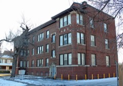
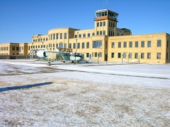
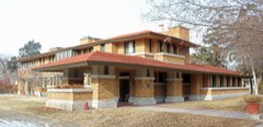
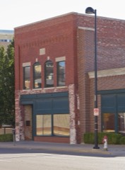
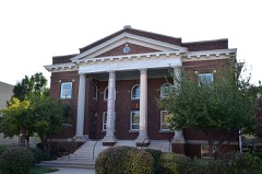
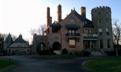
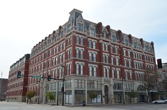
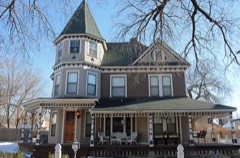
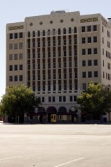
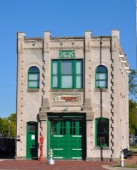
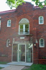
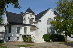
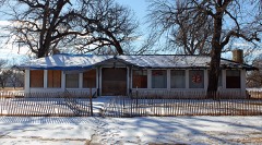
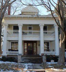
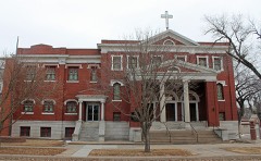
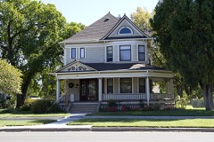
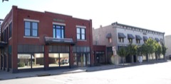
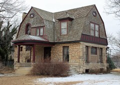
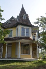
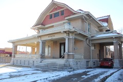
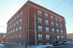
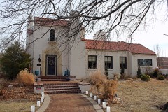
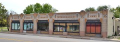
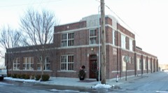
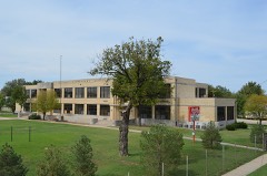
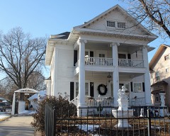
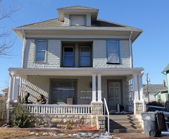
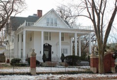
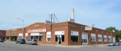
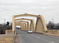
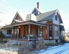
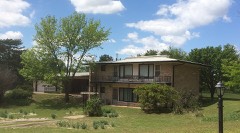
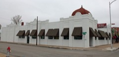
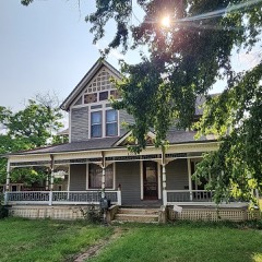
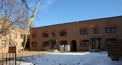
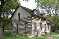
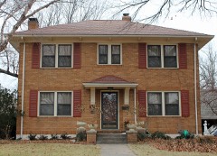
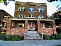
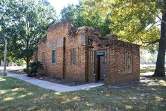
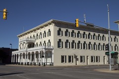
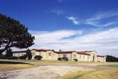
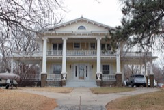
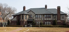
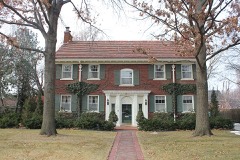
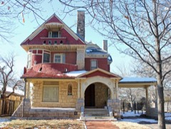
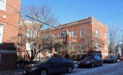
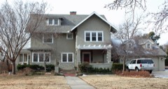
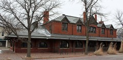
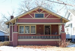
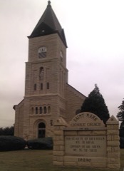
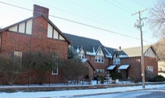
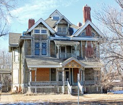
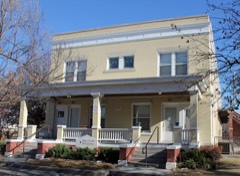
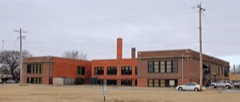
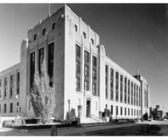
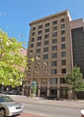
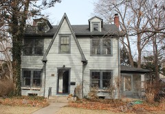
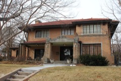
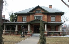
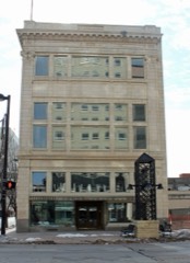
148 National Register listings published here.
Sources: the National Register database, National Park Service
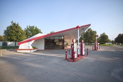
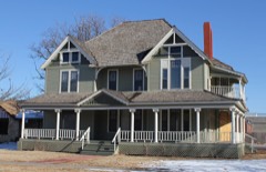
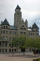
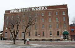
106 topographic sheets cover 72 settlements here, and 148 properties are on the National Register of Historic Places.
148 National Register listings published here.
Sources: the National Register database, National Park Service
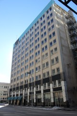
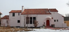
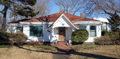
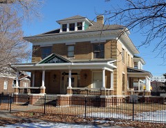
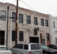
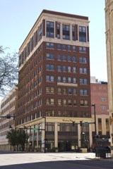
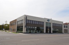
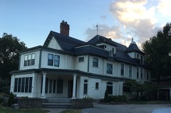
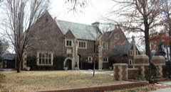
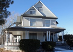
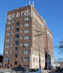
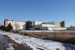
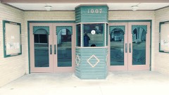
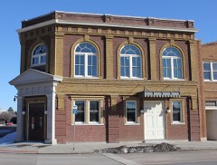
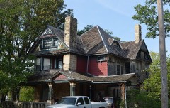
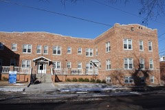
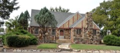
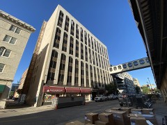
Every property in this county listed on the National Register of Historic Places, with the year it was listed and the federal nomination document.
Every wildfire the federal occurrence database records inside this county: 1,503 of them, burning about 1,888 acres. 6 started naturally and 24 were recorded as arson. Each settlement page carries the fires within five miles of it.
| Reported cause | Fires |
|---|---|
| Missing data/not specified/undetermined | 880 |
| Debris and open burning | 323 |
| Equipment and vehicle use | 97 |
| Smoking | 52 |
| Power generation/transmission/distribution | 42 |
| Fireworks | 38 |
| Misuse of fire by a minor | 25 |
| Arson/incendiarism | 24 |
| Other causes | 11 |
| Natural | 6 |
| Recreation and ceremony | 5 |
The five largest, by the area the report gives. One of them was set deliberately.
| Date | Cause | Size | Reported by | Name on the report |
|---|---|---|---|---|
| 30 June 2015 | Other causes | 100 acres | Kansas Forest Service | 4961 |
| 25 July 2015 | Missing data/not specified/undetermined | 89 acres | Kansas Forest Service | 5653 |
| 31 March 2015 | Debris and open burning | 80 acres | Kansas Forest Service | 2475 |
| 3 March 2015 | Debris and open burning | 60 acres | Kansas Forest Service | 1622 |
| 11 March 2015 | Debris and open burning | 60 acres | Kansas Forest Service | 1863 |
| 6 March 2015 | Arson/incendiarism | 50 acres | Kansas Forest Service | 79 |
| 17 March 2016 | Missing data/not specified/undetermined | 50 acres | Kansas Forest Service | 65 |
| 18 March 2017 | Debris and open burning | 40 acres | Sedgwick County | 1919 |
Every settlement page carries the fires within five miles of it - see the settlement index below.
The NOAA Storm Events Database holds 2,894 reports for this county, causing 16 deaths, 468 injuries and about $1,303,917,110 in recorded property damage. Each settlement page carries the reports that name it.
| Kind of event | Reports |
|---|---|
| Hail | 1387 |
| Thunderstorm Wind | 1112 |
| Flash Flood | 127 |
| Flood | 93 |
| Tornado | 90 |
| Heavy Rain | 61 |
| Lightning | 23 |
| Funnel Cloud | 1 |
The most serious of them, by death, then injury, then recorded damage. The accounts are quoted exactly as the forecast office filed them.
| When | Event | Place named | Harm | What the report says |
|---|---|---|---|---|
| May 1999 | Tornado (F4) | Peck | 6 killed, 150 hurt, $140,000,000 | The same tornado that initially touched down 4 miles north of Wellington in Central Sumner County, SKYWARN reports indicate the tornado crossed the Sumner/Sedgwick County line at 1930, 1 mile west of Peck. Moving northeast at 30 kts, the tornado hit Haysville at 1935, destroying a subdivision just southwest of the South Seneca-South 87th Street intersection where the first 2 fatalities occurred in a mobile home park when a woman and her grandson were killed while running for shelter. (A 6th fatality resulted when an elderly man died from his injuries at a Wichita hospital on May 23rd.) The tornado then moved north along South Seneca Avenue, entering the Haysville Central Business District at 1938. The 3rd fatality occurred at this point when an elderly man was killed in a mobile home at South 75th Street. At the South Seneca/South 71st Street intersection, most of the businesses were heavily damaged or destroyed. Damage summary for Haysville (damaged or destroyed): 150 homes, 27 businesses, 3 churches, 1 library, 4 historic buildings and 1 lodge. The tornado entered South Wichita at 1943 when it crossed South 55th Street. The tornado then veered slightly toward the northwest. At South 47th Street it reassumed a northeast track. Crossing MacArthur Avenue, the tornado leveled the Lakeshore and Pacesetter mobile home parks located just northeast of the South Seneca/MacArthur intersection where the 4th and 5th fatalities occurred, one at each mobile home park. At 1945, the tornado crossed the East Harry Street interchange on I-135 and continued to move northeast, lifting in the College Hill District in Northeast Wichita. Along this entire track, the tornado left a path of destruction 14 miles long and 1/4 to 1/2 mile wide. Damage summary for Sedgwick County: 8,480 buildings (all types) damaged or destroyed. Of these, 2,456 were at least 50% destroyed and 1,109 totally destroyed. |
| April 1991 | Tornado (F5) | not stated | 4 killed, 75 hurt, $250,000,000 | no account filed |
| May 1973 | Tornado (F1) | not stated | 3 killed | no account filed |
| June 1996 | Lightning | Wichita | 2 killed | no account filed |
| September 2008 | Flash Flood | Valley Center | 1 killed, 1 hurt, $7,000 | Widespread heavy rains of 8 to 10 inches caused flooding of numerous county roads across Northern Sedgwick County. One fatality occurred to the south of the town of Sedgwick, near the 11200 block of North West, when a stalled motorist apparently attempted to flee his vehicle and was swept into the ditch by the fast moving water and drowned. |
| June 1992 | Hail | not stated | 59 hurt | no account filed |
| April 2012 | Tornado (EF3) | Haysville | 38 hurt, $500,000,000 | Significant damage to homes, many of them had a number missing outer walls. Seven homes were missing two to four walls, one home was completely destroyed. The trees associated with house completely stripped to nothing, this was also the case at many other locations along the path. ||A mobile home park to south had seventy five percent of the homes uninhabitable. Approximately twenty five percent were reduced to rubble. ||Significant damage was also noted at McConnell AFB. Many of the hangars sustained damage. One hangar in particular that was owned by Spirit Aerosystems sustained a considerable amount of damage.||Several apartments and businesses also had damage like roofs being torn off and windows blown out. |
| September 1965 | Tornado (F3) | not stated | 27 hurt, $2,500,000 | no account filed |
| June 1990 | Thunderstorm Wind | not stated | 26 hurt | no account filed |
| July 2009 | Hail | Wichita | 20 hurt, $10,000,000 | Large Hail ranging in size from golf ball to baseball sized moved across Downtown Wichita, causing devastating damage to cars and roofs. During the half hour hail storm, thousands of cars either had roof, windshield or hood damage. Insurance agencies reported 10 to 15 thousand cars may have damaged by the hail storm. The hail was so large and numerous that it killed numerous birds in the Delano district, and injured fans at Lawrence Dumont Stadium as the hail turned the minor league baseball field white. Stain glassed windows were destroyed at Friends University and hundreds of homes and businesses received roof and window damage. |
| October 1973 | Tornado (F2) | not stated | 15 hurt, $250,000 | no account filed |
| May 1965 | Tornado (F3) | not stated | 10 hurt, $250,000 | no account filed |
| June 1969 | Tornado (F4) | not stated | 6 hurt, $250,000 | no account filed |
| June 1958 | Tornado (F2) | not stated | 6 hurt, $250,000 | no account filed |
| April 1960 | Tornado (F3) | not stated | 6 hurt, $25,000 | no account filed |
| June 1953 | Tornado (F2) | not stated | 3 hurt | no account filed |
| April 2022 | Tornado (EF2) | Rose Hill | 2 hurt, $4,500,000 | A highly visible tornado that came to be known as the Andover Tornado initially touched down in rural Sedgwick county and tracked to the east northeast into Butler county, Kansas. Two direct injuries occurred, when a manufactured home was completely destroyed, with two occupants inside. Two people were transported to local hospitals with serious injuries. Total structures affected were 116, with 22 of those being homes. The rest of the structures affected were barns, sheds, detached garages, etc. This tornado crossed the county line into Butler County. Damage were estimated at 4.5 million dollars. |
| July 2008 | Thunderstorm Wind | Valley Center | 2 hurt, $250,000 | An isolated thunderstorm produced severe downburst winds along with hail up to quarter size along and near Interstate 135 roughly between 109th Street and 101st Street. Four semis traveling on the interstate were blown over, blocking traffic for several hours. Various power lines and trees were downed. Additionally, copious amounts of pea to quarter size hail pummeled the same location for several minutes, producing hail drifts up to 6 inches deep. The hail in tandem with the wind shattered dozens of vehicle windows, producing two minor injuries due to flying glass. Additionally, at a nearby residence, a garage roof was peeled off, and a camper suffered major damage from the wind and hail. |
| July 1987 | Tornado (F1) | not stated | 2 hurt, $250,000 | no account filed |
| April 2009 | Tornado (EF1) | Garden Plain | 2 hurt, $85,000 | The tornado moved southwest to northeast across the Lake Afton area, inflicting moderate damage to a residence. Two people were injured when their camper rolled at Lake Afton. |
| June 2013 | Thunderstorm Wind | (Ict)Wichita Arpt | 2 hurt, $10,000 | A fireworks tent was blown over at the West 167th/US 54 intersection in West Wichita. Two people were injured, one of whom a 13-year old boy who sustained a concussion when he was struck in the back of the head by a support beam. The boy was taken to a hospital and released. The Wichita Eagle contributed greatly to this narrative. |
| July 2011 | Thunderstorm Wind | Goddard | 2 hurt, $2,000 | A fireworks tent was blown over causing two minor injuries. |
| September 2000 | Lightning | Wichita | 2 hurt | At Cessna Aircraft, located on the southern perimeter of Mid-Continent Airport, two men were knocked unconscious when the aircraft they pushing out of a hangar was struck. Both men were apparently standing in water and holding onto the aircraft when the lightning strike occurred. Both were listed in good condition at Via Christi-St. Francis Medical Center. Area newspapers contributed to this report. |
| September 1992 | Tornado (F2) | not stated | 1 hurt, $25,000,000 | no account filed |
| May 2015 | Tornado (EF3) | Mt Hope | 1 hurt, $600,000 | Tornado touched down in an open field and quickly grew in strength as it moved slightly east of north. The tornado damaged 3 center pivot irrigation systems and caused damage at a farmstead by demolishing a single car detached garage and ripped off a carport that was attached to a barn. As the tornado moved on to the north, it encountered another farmstead. One house was directly in the path of the tornado and was completely leveled with nothing left standing (DI2 DOD9). The home was built in the late 1800's and was not secured to the foundation. Another home just to the northwest of the main home sustained significant damage to the southeast corner by taking down two small sections of the home. Another barn on the property was a complete loss and the trees experienced significant limb loss and some debarkation. One minor injury was reported. The person affected refused treatment. The tornado was 125 yards wide. This tornado moved into Harvey County. |
| September 1999 | Hail | Clearwater | 1 hurt, $500,000 | Quarter to tennisball-sized hail pummeled Clearwater, breaking windows and inflicting widespread damage to roofs and vehicles. One tennisball-sized hailstone struck a man in the head rendering him unconscious. |
| May 1973 | Tornado (F3) | not stated | 1 hurt, $250,000 | no account filed |
| November 1998 | Thunderstorm Wind | Wichita | 1 hurt, $50,000 | One mobile home was rolled over. The occupent suffered a broken collar bone when the water bed he was sleeping in rolled on top of him. |
| June 1958 | Tornado (F3) | not stated | 1 hurt, $25,000 | no account filed |
| August 2024 | Lightning | Wichita | 1 hurt | Emergency management relayed a report from emergency medical service crews of an individual transported to the hospital after a person's ear drum ruptured from a nearby lightning strike. |
| May 2022 | Lightning | (Iab) Mcconnell Arpt | 1 hurt | An airman at McConnell Air Force base was impacted by a lightning strike near him on the flight line. He was injured and taken to a local hospital. |
| April 2015 | Thunderstorm Wind | Haysville | 1 hurt | One person was injured when they were blown off their porch at a mobile home park. |
| June 2011 | Lightning | Eastborough | 1 hurt | A woman was struck by lightning when it came through the window. She was treated at the scene and refused to be transported to the hospital. |
| August 2009 | Lightning | Eastborough | 1 hurt | A teenage boy was struck by lightning in southeast Wichita during the late evening hours of the 17th. The injury was serious for a time, but the boy was later upgraded to good condition. The Wichita Eagle contributed to this report. |
| August 2003 | Lightning | Goddard | 1 hurt | A 37-year old man was struck while watching a thunderstorm from his back yard. Though not seriously injured, the man did sustain minor burns. Narrative courtesy of Times Sentinel, Cheney, KS. Time of the incident approximate based on timing of severe thunderstorm winds 10 miles southwest of Wichita. |
| September 2010 | Hail | Goddard | $150,000,000 | Two supercell thunderstorms left a destructive swath of very large hail across portions of the county. The swath of hail was approximately 5 miles wide and 15 miles long, stretching from northwest of Goddard, Kansas through the western and southern half of Wichita, Kansas to near Rose Hill, Kansas. Hail as large as softball and grapefruit size pounded roofs and cars along its path with over 35,000 claims turned into insurance agencies. The hail made roofs look like a war zone, with holes big enough for people to stick their heads through. Cars and golf courses were pot marked with large dents. Some of the hail came through roofs, including the terminal at the Mid Continent Airport in Wichita. Three commercial airliners were damaged and had to be towed to hangers for repairs. The National Weather Service in Wichita suffered damage to its vehicles, including one hail dent that was almost 10 inches across. One such hailstone 2 miles west of the National Weather Service office broke the state record for diameter, measuring 7.75 inches across (see separate entry). |
| April 2006 | Hail | Goddard | $70,000,000 | An early morning severe thunderstorm pounded western and central portions of Sedgwick County with destructive hail as large as 3 inches in diameter between roughly 6:10 and 6:30 AM CST. Several instances of 1.75 to 3 inch hail occurred from Goddard into western and central portions of Wichita, generally between 13th and Kellogg, and into the downtown area. Another area of large hail around 1.75 inches in diameter affected northern and northeast portions of Wichita, generally east of I-135 along K96. Surrounding the very large hail area were numerous reports of 0.75 to 1.25 inch hail, affecting portions of South, North, and East Wichita. The large hail inflicted widespread property damage across the Wichita area, some of which was rather severe, to automobiles, homes, and businesses. A handful of golf courses had to close for the day due to large divots on the putting greens, and Botanica Gardens just west of downtown sustained damage. Additionally, 17 police cars at the Patrol West Bureau near Central and I-235 had windows and/or flashing emergency lights shattered. |
| July 1994 | Thunderstorm Wind | Valley Center | $50,000,000 | Hurricane-force winds blew across the county as thunderstorms rumbled through. Eighty-two mph winds were recorded in Valley Center where a metal shed was blown over and fences were damaged. The winds were not as strong when they went across Wichita and were about 65 mph. Damage in Wichita was mainly broken tree limbs and downed fences. Winds were clocked at 101 mph in Goddard where three trailers blew over and 70 feet of sheet metal was peeled off the side of the Rubbermaid plant. Clearwater was the hardest hit where the fire department lost its roof and ceiling and half of the lumber company building was blown away. Damage just to power lines and poles was $10 million. One hundred fifty thousand Kansas Gas and Electric customers were without power--some for four days. One Andale farmer lost ten percent of his corn crop, otherwise there was no major crop loss. |
| March 1993 | Hail | Wichita | $50,000,000 | no account filed |
| March 1993 | Hail | Wichita | $5,000,000 | no account filed |
| March 1993 | Hail | Wichita | $5,000,000 | no account filed |
| March 1993 | Hail | Kechi | $5,000,000 | no account filed |
| September 2008 | Flash Flood | Maize | $3,040,000 | Nine to twelve inches of rainfall during the morning commute hours causing widespread street flooding of roadways up to 2 to 3 feet deep on the West side of the City of Wichita. Law enforcement officials reported 150 people were rescued from vehicles or evacuated because of the high water. 114 homes reported some type of surface flooding due to the heavy rainfall and sewers and sump pumps backed up into 141 more homes. This unprecedented amount of rainfall mainly fell during a five hour period, reminding some of the Halloween Flood of 1998. The large amount of rainfall caused the Cowskin/Calfskin Creek to once again come out of its banks, flooding homes in the Dells and Hidden Lakes Subdivision. 35 people were evacuated from the Park West Retirement home along the banks of the creek. Calls about stalled vehicles overwhelmed towing businesses across the city. |
| June 2011 | Hail | (Ict)Wichita Arpt | $3,000,000 | Hail up to golfball size pelted portions of west and northwest Wichita. Consequently, various roofs and vehicles likely sustained hail damage, but the exact number is unknown. Consequently, property damage amounts are rough estimates. |
| July 1998 | Thunderstorm Wind | Wichita | $3,000,000 | Severe thunderstorm winds, ranging from 52-80KT, ripped across the Wichita Metropolitan area, inflicting widespread damage to trees, roofs, power lines and power poles. Approximately 60,000 people lost power, about 15,000 of which remained without power for 3 days. While most of the reports were from off-duty NWS staff, reports were also received from law enforcement, trained spotters and amateur radio operators. |
| September 1992 | Tornado (F1) | not stated | $2,500,000 | no account filed |
| May 1991 | Tornado (F3) | not stated | $2,500,000 | no account filed |
| August 2006 | Lightning | Wichita | $2,000,000 | A lightning strike set a 14-unit building on fire at Twin Lakes Apartment Complex. The fire destroyed the roof and top floors of the building. Fortunately, no one was injured from the blaze. Information courtesy of the Wichita Eagle. |
| April 1999 | Tornado (F0) | Wichita | $2,000,000 | The weak tornado fromed along the gust front of a downburst in East Wichita. Initial touchdown occurred just west of the East Harry/South Oliver intersection. The tornado moved northeast to the Kellogg/Oliver intersection, then almost due north to just east of the Central/Oliver intersection where it lifted. The tornado inflicted extensive tree damage, destroyed two portable grade school classrooms, caved in the ceiling of a supermarket, and caused extensive roof damage to homes and businesses. |
| June 2011 | Hail | Garden Plain | $1,000,000 | Hail up to golfball size fell in a wide band from near Garden Plain to Goddard, producing drifts of hail at times. The hail often occurred with wind gusts up to 60 mph winds. The large hail likely inflicted damage to various roofs and vehicles, but the exact number is unknown. Consequently, property damage amounts are rough estimates. According to newspaper reports, up to 100,000 acres of wheat may have been damaged across the area. Crop damage amounts are rough estimates. The Cheney Times-Sentinel contributed to this report. |
| June 2004 | Thunderstorm Wind | Cheney | $600,000 | Major tree damage with some minor damage to bulidings. One garage and two metal buildings were destroyed. |
| September 2016 | Flash Flood | Derby | $500,000 | Significant flash flooding occurred in the town of Mulvane, Kansas. Three buildings in downtown were flooded. Styx Creek ran out of banks and caused extensive flooding to homes along it. A water rescue occurred in town due the high water. A woman is safe after fast-moving water swept her vehicle into a ditch. She had been standing on top of her car and holding onto a tree while she was on the phone with 911. |
| July 2016 | Thunderstorm Wind | Eastborough | $500,000 | Downed trees, power lines, and power poles caused power outages to around 50 residences. Wester Energy contributed to this narrative. |
| April 2015 | Thunderstorm Wind | (Aao) Jabara Arpt | $500,000 | A channeled microburst began near the Kansas Heart Hospital with portions of the roof blown off. A tenth of mile of power poles were snapped off at the base along Webb Road, all leaning to the east. At Jabara Airport a large aircraft hanger was completely destroyed with debris from the hanger spread to the east. Aircraft that were located inside the hanger were also damaged. |
| June 2011 | Hail | Mt Hope | $500,000 | Hail was mostly golfball size, but a few stones reached baseball and softball size. Various roofs and vehicles across Mount Hope likely sustained hail damage. Property damage amounts are rough estimates. |
| July 1998 | Thunderstorm Wind | Goddard | $500,000 | Severe thunderstorm winds, ranging from 51-70 KT, ripped across Goddard, inflicting widespread damage to trees, roofs, pwoer lines and power poles. |
| July 1997 | Thunderstorm Wind | Derby | $500,000 | NUMEROUS TREES BLOWN DOWN, METAL BARN BLOWN DOWN @ 119TH & HILLSIDE. EXTENSIVE DAMAGE TO FARM DWELLINGS, STRUCTURES & MACHINERY. |
| March 1993 | Hail | Wichita | $500,000 | no account filed |
| March 1993 | Hail | Wichita | $500,000 | no account filed |
| March 1993 | Hail | Wichita | $500,000 | no account filed |
The Survey's mineral resources record lists 7 workings inside this county. 6 still produce and 1 is closed or unrecorded. Each settlement page carries the workings within five miles of it.
| Commodity | Workings |
|---|---|
| Sand and Gravel, Construction | 7 |
The least common of them first, because a county's hundredth gravel pit says nothing its first ten did not.
| Where | Site | Commodity | Status | Recorded |
|---|---|---|---|---|
| Globe Construction Co. Pit & Plant | Sand and Gravel, Construction | Producer | ||
| Miles Sand Inc. Pit & Plant | Sand and Gravel, Construction | Past Producer | ||
| Nest Robins Pit | Sand and Gravel, Construction | Producer | ||
| Oatville Sand & Gravel Dredge | Sand and Gravel, Construction | Producer | ||
| Ritchie Sand and Dredge Pit | Sand and Gravel, Construction | Producer | ||
| Vic's Sand Pit | Sand and Gravel, Construction | Producer | ||
| Walt Keeler Sand Pit and Plant | Sand and Gravel, Construction | Producer |
Named settlements recorded in the Geographic Names Information System, each with the topographic sheets covering it. Villages, hamlets and abandoned places alike. Each is shown with the nearest named watercourse or landform and the survey quadrangle it falls on.
Wichita city · 67203 · On Little Arkansas River · Wichita East quadrangle
20 sheets, 1889 to 1990
Kechi township · 67219 · On West Fork Chisholm Creek · Valley Center quadrangle
19 sheets, 1889 to 1990
Wichita city · 67204 · On Middle Fork Chisholm Creek · Valley Center quadrangle
19 sheets, 1889 to 1990
Grant township · 67147 · On Trails View Slough · Valley Center quadrangle
19 sheets, 1889 to 1990
Valley Center township · 67147 · On Trails View Slough · Valley Center quadrangle
19 sheets, 1889 to 1990
Wichita city · 67202 · On Little Arkansas River · Wichita East quadrangle
20 sheets, 1889 to 1990