 Block
Piper, Kansas
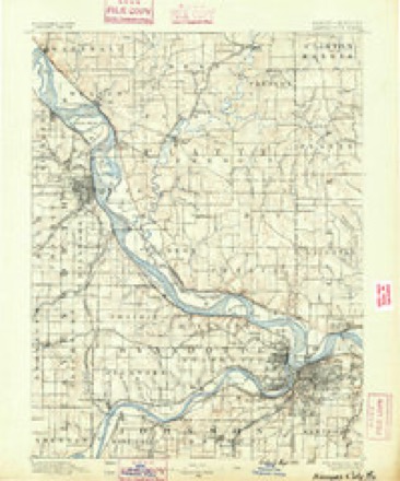
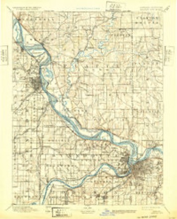
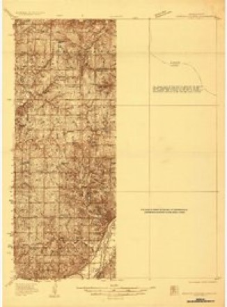
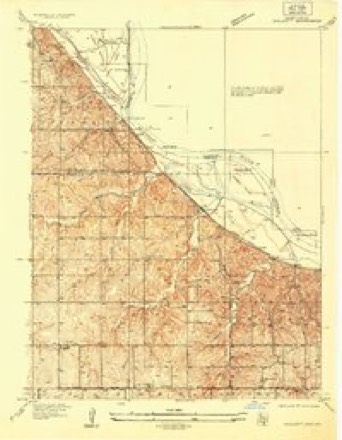
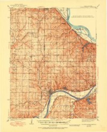
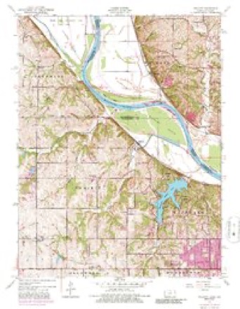
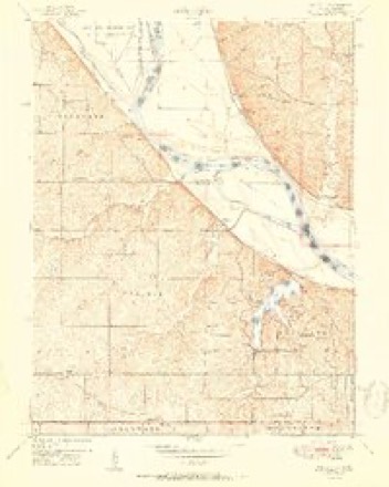
37 topographic sheets cover this place, the earliest surveyed in 1890 and the latest in 1983. It stands in Kansas City City. It lies in ZIP code area 66109. The Survey maps it on the Wolcott quadrangle.
Topographic sheets covering this place
12 surveys from 37 printed sheetsMatched by testing this settlement's coordinate against the published boundary of every sheet in the United States Geological Survey's historical collection. Each opens the scanned sheet at the Survey.
- 1890 USGS Kansas City quadrangle1:125000, 2 printings
- 1894 USGS Kansas City quadrangle1:125000, 14 printings
- 1934 USGS Bonner Springs quadrangle1:48000
- 1934 USGS Wolcott quadrangle1:24000
- 1940 USGS Bonner Springs quadrangle1:62500, 3 printings
- 1948 USGS Wolcott quadrangle1:24000, 5 printings
- 1950 USGS Kansas City quadrangle1:250000
- 1951 USGS Wolcott quadrangle1:24000
- 1954 USGS Kansas City quadrangle1:250000
- 1956 USGS Kansas City quadrangle1:250000, 4 printings
- 1960 USGS Kansas City quadrangle1:250000, 3 printings
- 1983 USGS Kansas City quadrangle1:100000
Fires near this place
102 since 2007Regional context, not property-specific evidence. The federal wildfire occurrence database lists 102 fires within 5 miles of Piper between 2007 and 2020, burning about 1,571 acres in total. None started naturally. 11 were recorded as arson. Distance is straight-line from the map coordinates, so a fire counted here may appear on a neighbouring settlement's page as well.
| Reported cause | Fires |
|---|---|
| Missing data/not specified/undetermined | 55 |
| Debris and open burning | 14 |
| Arson/incendiarism | 11 |
| Smoking | 11 |
| Equipment and vehicle use | 6 |
| Misuse of fire by a minor | 2 |
| Other causes | 1 |
| Power generation/transmission/distribution | 1 |
| Recreation and ceremony | 1 |
The most recent of them, most recent first, with the day each was reported and the service that recorded it.
| Date | Cause | Size | Reported by | Name on the report |
|---|---|---|---|---|
| 24 September 2018 | Debris and open burning | under an acre | Kansas Forest Service | 23901 |
| 16 September 2018 | Missing data/not specified/undetermined | under an acre | Kansas Forest Service | 23147 |
| 9 August 2018 | Missing data/not specified/undetermined | under an acre | Kansas Forest Service | 19532 |
| 7 August 2017 | Equipment and vehicle use | under an acre | Wyandotte County | 732 |
| 3 August 2018 | Equipment and vehicle use | under an acre | Kansas Forest Service | 639 |
| 22 August 2015 | Missing data/not specified/undetermined | under an acre | Kansas Forest Service | 5018340 |
| 16 August 2015 | Missing data/not specified/undetermined | under an acre | Kansas Forest Service | 5017785 |
| 14 August 2017 | Debris and open burning | under an acre | Leavenworth County | 521 |
Settlements close enough to share some of these fires:
Mines and quarries near this place
1 within 5 milesRegional context, not property-specific evidence. The federal mineral resources record lists 1 working within 5 miles of Piper: 1 producer. All of them still produce. What was taken out: Stone, Crushed/Broken. Distance is straight-line from the map coordinates, so a quarry counted here may appear on a neighbouring settlement's page as well.
| Where | Site | Commodity | Status | Recorded |
|---|---|---|---|---|
| Tobin Mine & Mill | Stone, Crushed/Broken | Producer |
Storms near this place
32 since 1996Regional context, not property-specific evidence. The National Weather Service names Piper in 32 storm reports between 1996 and 2026: 17 hail, 15 thunderstorm wind. No death or injury is recorded in these reports. Each account below is quoted exactly as the forecast office filed it, from the NOAA Storm Events Database, and each date opens the federal record of that event.
| When | Event | Place named | Harm | What the report says |
|---|---|---|---|---|
| May 1999 | Thunderstorm Wind | Piper | $50,000 | Thunderstorm winds tore the roof off of the school superintendent's office in Piper. |
| April 2006 | Hail | Piper | $25,000 | no account filed |
| May 2010 | Thunderstorm Wind | Piper | $2,000 | Large trees and power lines were reported down. |
| March 2026 | Hail | Piper | - | Half dollar size hail reported west of I-435 and Leavenworth Rd junction. |
| March 2026 | Hail | Piper | - | Quarter sized hail north of the Legends. |
| March 2024 | Hail | Piper | - | Golf ball sized hail at the Kansas Speedway. |
| March 2024 | Hail | Piper | - | Golf ball sized hail at the Kansas Speedway. |
| April 2024 | Hail | Piper | - | Quarter size hail was reported near Piper. |
| April 2024 | Hail | Piper | - | Quarter size hail was reported near Piper. |
| March 2024 | Thunderstorm Wind | Piper | - | Downed power lines and power outages near the Kansas Speedway. |
| May 2024 | Thunderstorm Wind | Piper | - | A swath of straight-line wind damage occurred near a mesovortex that developed within a line of thunderstorms on the evening of May 6, beginning near Piper in Wyandotte County. Several trees were downed along a path from Donahoo Road to Polfer Road, crossing 123rd Street between Polfer Road and Marxen Road. In this area, several larger trees and limbs were downed, with a couple uprooted. The swath of winds progressed toward Wolcott Drive and Tontine Road, where several trees were downed, snapped, or uprooted. A private weather station reported a 60-mph gust in this area at this time, but stronger winds were likely present given the nature of the tree damage. The damaging winds crossed the Missouri River and reached Missouri State Highway 45 north of Waldron, where multiple small trees or limbs were damaged as well. No discernible damage was noted to the northeast of this area. Damage along the path was all directed to the north- northeast, which corroborates with radar data from the Terminal Doppler Radar at TMCI. This straight-line wind event preceded the tornado that eventually developed near Hoover in Platte County a few minutes later. |
| July 2023 | Thunderstorm Wind | Piper | - | Steeple blown off Maywood Community Church. |
| May 2022 | Thunderstorm Wind | Piper | - | NWS employee working on-site decision support services reported 60 mph wind at the Kansas Speedway prior to gates opening for the ensuing NASCAR race later in the day. |
| June 2022 | Thunderstorm Wind | Piper | - | A few tree limbs were down at Dubs Dread Golf Course. |
| May 2021 | Hail | Piper | - | This report came from MPing. |
| June 2020 | Thunderstorm Wind | Piper | - | A tree of approximately 18 inches in diameter snapped a the base. |
| June 2020 | Thunderstorm Wind | Piper | - | Several 6 to 9 inch tree limbs were down. |
| June 2020 | Thunderstorm Wind | Piper | - | NWS employee reported their patio table was flipped. |
| June 2019 | Thunderstorm Wind | Piper | - | Four to six inch tree limbs were down from thunderstorm winds. |
| July 2019 | Thunderstorm Wind | Piper | - | A trained spotter reported 60 mph wind. |
| June 2017 | Thunderstorm Wind | Piper | - | A storm chaser at the Hollywood Casino reported 80 mph winds. |
| June 2014 | Thunderstorm Wind | Piper | - | Shingle damage was reported by the Legends Shopping Center. |
| June 2022 | Hail | Piper | - | no account filed |
| May 2021 | Hail | Piper | - | no account filed |
| July 2020 | Hail | Piper | - | no account filed |
| April 2010 | Hail | Piper | - | no account filed |
| May 2010 | Thunderstorm Wind | Piper | - | no account filed |
| May 2010 | Hail | Piper | - | no account filed |
| April 2010 | Hail | Piper | - | no account filed |
| May 2000 | Hail | Piper | - | no account filed |
| June 1996 | Hail | Piper | - | no account filed |
| June 1996 | Hail | Piper | - | no account filed |
Nearest settlements
The eight closest, with where each one stands in the county. Distances are straight-line, computed from the Geographic Names Information System coordinates.
| Map | Place | Distance | Sheets |
|---|---|---|---|
| Maywood | 2.2 miles | 37 | |
| Victory Junction | 2.3 miles | 35 | |
| Wallula | 2.9 miles | 35 | |
| Loma Vista | 4.1 miles | 37 | |
| Vinewood | 4.1 miles | 37 | |
| Wolcott | 4.5 miles | 37 | |
| Sunflower | 5.4 miles | 38 | |
| Lake of the Forest | 5.4 miles | 38 |
Provenance
This settlement is recorded in the Geographic Names Information System as feature 478569. The sheet list is computed by point-in-boundary test against the United States Geological Survey's historical topographic inventory. Both are works of the United States government and carry no copyright under 17 U.S.C. 105.
Wildfire. Short, Karen C. 2022. Spatial wildfire occurrence data for the United States, 1992-2020 [FPA_FOD_20221014]. 6th Edition. Fort Collins, CO: Forest Service Research Data Archive. https://doi.org/10.2737/RDS-2013-0009.6 Collected with United States Government funding and usable without additional permissions or fees.
Mines and quarries. USGS Mineral Resources Data System (MRDS) https://mrdata.usgs.gov/mrds/ A work of the United States government, no copyright under 17 U.S.C. 105.
Storms. NOAA National Centers for Environmental Information, Storm Events Database https://www.ncei.noaa.gov/stormevents/ A work of the United States government, no copyright under 17 U.S.C. 105. Narratives are quoted verbatim from the National Weather Service report and are not edited or summarised.