 Block
Selkirk, Kansas
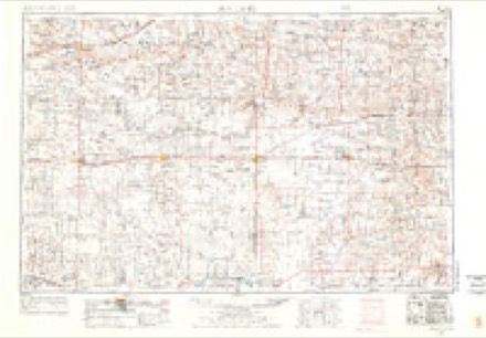
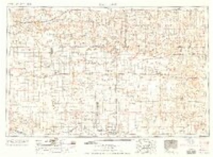
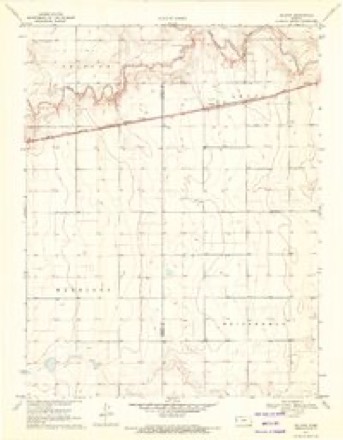
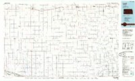
8 topographic sheets cover this place, the earliest surveyed in 1955 and the latest in 1987. It stands in Leoti Township. It lies in ZIP code area 67861. The Survey maps it on the Selkirk quadrangle.
Topographic sheets covering this place
5 surveys from 8 printed sheetsMatched by testing this settlement's coordinate against the published boundary of every sheet in the United States Geological Survey's historical collection. Each opens the scanned sheet at the Survey.
- 1955 USGS Scott City quadrangle1:250000, 4 printings
- 1958 USGS Scott City quadrangle1:250000
- 1970 USGS Selkirk quadrangle1:24000
- 1985 USGS Leoti quadrangle1:100000
- 1987 USGS Leoti quadrangle1:100000
Storms near this place
46 since 1993Regional context, not property-specific evidence. The National Weather Service names Selkirk in 46 storm reports between 1993 and 2023: 36 hail, 7 thunderstorm wind, 3 tornado. No death or injury is recorded in these reports. Each account below is quoted exactly as the forecast office filed it, from the NOAA Storm Events Database, and each date opens the federal record of that event.
| When | Event | Place named | Harm | What the report says |
|---|---|---|---|---|
| July 2011 | Thunderstorm Wind | Selkirk | $15,000 | An open ended shed was destroyed and thrown NNE. A damage survey by the emergency manager, and Doppler radar, indicated the damage was the result of a thunderstorm downburst. |
| April 2022 | Thunderstorm Wind | Selkirk | $10,000 | Straight-line winds knocked a grain bin trailer onto another farm vehicle and also ripped off portions of a metal barn wall. |
| May 1993 | Hail | Selkirk | $5,000 | Hail driven by wind damaged windows, vehicles, and wheat. |
| July 2023 | Hail | Selkirk | - | The hail ranged from pea to nickel in size and occurred with estimated 60 MPH wind gusts. |
| July 2023 | Thunderstorm Wind | Selkirk | - | Thunderstorm winds had produced a wall of dust roughly seven miles south-southeast of Selkirk. Nickel size hail also accompanied the wind gusts. |
| May 2021 | Hail | Selkirk | - | Report received of pea to nickel sized hail at location that lasted for about 15 to 20 minutes. |
| August 2021 | Hail | Selkirk | - | Report received of pea to half dollar sized hail at location. Time is radar-estimated. |
| August 2021 | Hail | Selkirk | - | Report received of hail up to golf ball in size at location. |
| May 2019 | Hail | Selkirk | - | Pea to quarter sized, lasted just under 10 minutes. |
| May 2016 | Tornado (EF0) | Selkirk | - | A landspout was reported two miles northwest of Selkirk southeast of the CR N and CR 26 intersection. Based on the rotation on radar the landspout moved west-northwest during its lifetime. No damage was reported with this landspout since it was over open country. |
| May 2015 | Hail | Selkirk | - | Relayed through Spotter Network. |
| July 2011 | Hail | Selkirk | - | The spotter also reported wind gusts estimated at around 50 mph. |
| May 2008 | Tornado (EF0) | Selkirk | - | Tornado remained over open fields. |
| August 2007 | Hail | Selkirk | - | Hail covered the ground. |
| August 2005 | Hail | Selkirk | - | Nickel to quarter size hail. |
| April 1999 | Hail | Selkirk | - | Hail completely covered ground. |
| July 1998 | Thunderstorm Wind | Selkirk | - | Thunderstorm winds brought down one inch diameter tree limbs. |
| August 1993 | Tornado (F0) | Selkirk | - | A tornado was nearly stationary while picking up small dirt debris about 0.25 mile from spotter. |
| June 2013 | Hail | Selkirk | - | no account filed |
| April 2009 | Hail | Selkirk | - | no account filed |
| July 2009 | Hail | Selkirk | - | no account filed |
| June 2009 | Thunderstorm Wind | Selkirk | - | no account filed |
| August 2006 | Hail | Selkirk | - | no account filed |
| August 2006 | Thunderstorm Wind | Selkirk | - | no account filed |
| July 2004 | Hail | Selkirk | - | no account filed |
| May 2004 | Hail | Selkirk | - | no account filed |
| May 2004 | Hail | Selkirk | - | no account filed |
| May 2003 | Hail | Selkirk | - | no account filed |
| June 2003 | Hail | Selkirk | - | no account filed |
| June 2003 | Hail | Selkirk | - | no account filed |
| August 2002 | Hail | Selkirk | - | no account filed |
| April 2001 | Hail | Selkirk | - | no account filed |
| April 2001 | Hail | Selkirk | - | no account filed |
| July 1999 | Hail | Selkirk | - | no account filed |
| July 1999 | Hail | Selkirk | - | no account filed |
| May 1998 | Hail | Selkirk | - | no account filed |
| May 1996 | Hail | Selkirk | - | no account filed |
| May 1996 | Hail | Selkirk | - | no account filed |
| June 1996 | Hail | Selkirk | - | no account filed |
| July 1996 | Hail | Selkirk | - | no account filed |
| July 1996 | Thunderstorm Wind | Selkirk | - | no account filed |
| June 1995 | Hail | Selkirk | - | no account filed |
| June 1994 | Hail | Selkirk | - | no account filed |
| June 1994 | Hail | Selkirk | - | no account filed |
| June 1994 | Hail | Selkirk | - | no account filed |
| May 1993 | Hail | Selkirk | - | no account filed |
Nearest settlements
The eight closest, with where each one stands in the county. Distances are straight-line, computed from the Geographic Names Information System coordinates.
| Map | Place | Distance | Sheets |
|---|---|---|---|
| Leoti | 9.8 miles | 9 | |
| Coronado | 12.7 miles | 9 | |
| Marienthal | 17.5 miles | 10 | |
| Lydia | 19.0 miles | 8 |
Elsewhere
Matched on this settlement's Geographic Names Information System number rather than its name, so it cannot be a different place of the same name in another state.
| Wikipedia article on Selkirk | An encyclopaedic summary. Its text is share-alike, so it is linked here rather than copied. |
| Wikidata item Q18378160 | The structured record the population and elevation above come from. Public domain (CC0). |
Provenance
This settlement is recorded in the Geographic Names Information System as feature 471496. The sheet list is computed by point-in-boundary test against the United States Geological Survey's historical topographic inventory. Both are works of the United States government and carry no copyright under 17 U.S.C. 105.
Storms. NOAA National Centers for Environmental Information, Storm Events Database https://www.ncei.noaa.gov/stormevents/ A work of the United States government, no copyright under 17 U.S.C. 105. Narratives are quoted verbatim from the National Weather Service report and are not edited or summarised.