 Block
Tabor, Kansas
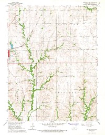
13 topographic sheets cover this place, the earliest surveyed in 1892 and the latest in 1985. It stands in Fairview Township. It lies in ZIP code area 66940. The Survey maps it on the Belleville SE quadrangle.
Topographic sheets covering this place
6 surveys from 13 printed sheetsMatched by testing this settlement's coordinate against the published boundary of every sheet in the United States Geological Survey's historical collection. Each opens the scanned sheet at the Survey.
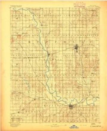
- 1892 USGS Concordia quadrangle1:125000, 4 printings
- 1955 USGS Manhattan quadrangle1:250000, 4 printings
- 1956 USGS Manhattan quadrangle1:250000
- 1957 USGS Manhattan quadrangle1:250000
- 1966 USGS Belleville SE quadrangle1:24000
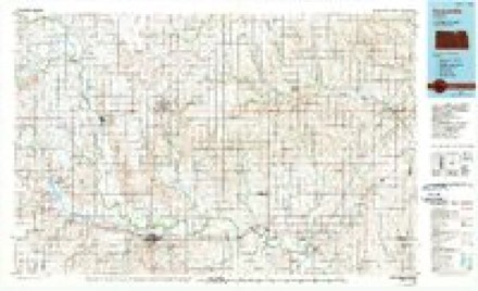
- 1985 USGS Concordia quadrangle1:100000, 2 printings
Fires near this place
1 since 2015Regional context, not property-specific evidence. The federal wildfire occurrence database lists 1 fire within 5 miles of Tabor in 2015, burning about 3 acres in total. None started naturally. None was recorded as arson. Distance is straight-line from the map coordinates, so a fire counted here may appear on a neighbouring settlement's page as well.
| Reported cause | Fires |
|---|---|
| Debris and open burning | 1 |
The most recent of them, most recent first, with the day each was reported and the service that recorded it.
| Date | Cause | Size | Reported by | Name on the report |
|---|---|---|---|---|
| 11 April 2015 | Debris and open burning | 3.0 acres | Kansas Forest Service | 1500017 |
Settlements close enough to share some of these fires:
Storms near this place
20 since 2009Regional context, not property-specific evidence. The National Weather Service names Tabor in 20 storm reports between 2009 and 2025: 8 hail, 8 thunderstorm wind, 2 tornado, 2 flash flood. No death or injury is recorded in these reports. Each account below is quoted exactly as the forecast office filed it, from the NOAA Storm Events Database, and each date opens the federal record of that event.
| When | Event | Place named | Harm | What the report says |
|---|---|---|---|---|
| August 2025 | Thunderstorm Wind | New Tabor | - | Three to 4 inch tree branches down. |
| July 2023 | Hail | New Tabor | - | Mping report of half dollar sized hail. |
| June 2022 | Thunderstorm Wind | New Tabor | - | Tree limbs three inches in diameter broken, power poles broken. |
| May 2018 | Tornado (EF0) | New Tabor | - | This was a broad and weak tornado that developed along the leading edge of a bowing line segment. It was witnessed by multiple sources but caused no reported damage. |
| June 2018 | Thunderstorm Wind | New Tabor | - | Estimated wind gusts of 50 to 60 MPH. |
| September 2018 | Thunderstorm Wind | New Tabor | - | Estimated wind gust. |
| May 2016 | Flash Flood | New Tabor | - | Localized flooding occurring in Munden. Water is across some roads. An estimated 3 inches of rain has fallen as of 6:30PM. |
| August 2015 | Thunderstorm Wind | New Tabor | - | Wind gusts estimated. |
| May 2015 | Tornado (EF3) | New Tabor | - | This strong but brief tornado touched down shortly before destroying a home around 715pm CDT a few miles south of Munden, KS. The tree damage suggested EF3 intensity while some debarking was also noted downwind or to the NE of the home. The structure itself was pull from the sill plate which had bolts every 6 feet per code. however it appears that an initial failure point was the garage door which faced south and the roof was attached to both the garage and main structure so it appears that a catastrophic failure caused the entire structure to be lifted off its foundation and deposited 50-150 yards to the NE of the foundation. Two cars in the garage were moved only slightly which indicates below EF4 type intensity in this event. The tornado must have weakened rapidly since only EF0-1 damage was noted 1/2-1 mile NE of the worst damage. |
| May 2015 | Flash Flood | New Tabor | - | Trained spotter reported many roads under water in western and northwestern Republic county. |
| August 2015 | Thunderstorm Wind | New Tabor | - | Reports of 4 inch diameter tree limbs down. |
| June 2014 | Hail | New Tabor | - | Hail was mostly nickel sized. |
| July 2010 | Thunderstorm Wind | New Tabor | - | Trained spotters reported 60 mph wind gusts across Republic County. |
| May 2010 | Thunderstorm Wind | New Tabor | - | There were shredded trees throughout Munden. The town also lost power. |
| May 2010 | Hail | New Tabor | - | Lots of nickel sized hail shredded trees around town. |
| August 2009 | Hail | New Tabor | - | The hail was jagged, and fell at Highway 220 and Elm Road. |
| June 2009 | Hail | New Tabor | - | Spotters reported golf ball size hail with no damage noted. |
| September 2015 | Hail | New Tabor | - | no account filed |
| April 2010 | Hail | New Tabor | - | no account filed |
| April 2010 | Hail | New Tabor | - | no account filed |
Nearest settlements
The eight closest, with where each one stands in the county. Distances are straight-line, computed from the Geographic Names Information System coordinates.
Provenance
This settlement is recorded in the Geographic Names Information System as feature 484618. The sheet list is computed by point-in-boundary test against the United States Geological Survey's historical topographic inventory. Both are works of the United States government and carry no copyright under 17 U.S.C. 105.
Wildfire. Short, Karen C. 2022. Spatial wildfire occurrence data for the United States, 1992-2020 [FPA_FOD_20221014]. 6th Edition. Fort Collins, CO: Forest Service Research Data Archive. https://doi.org/10.2737/RDS-2013-0009.6 Collected with United States Government funding and usable without additional permissions or fees.
Storms. NOAA National Centers for Environmental Information, Storm Events Database https://www.ncei.noaa.gov/stormevents/ A work of the United States government, no copyright under 17 U.S.C. 105. Narratives are quoted verbatim from the National Weather Service report and are not edited or summarised.