 Block
Weskan, Kansas
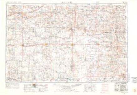
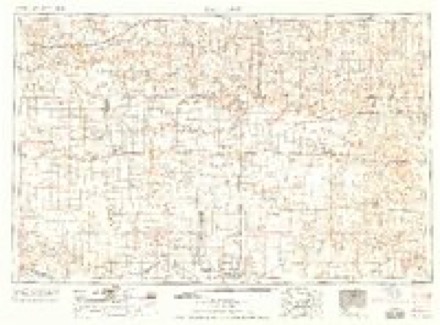
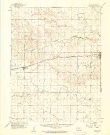
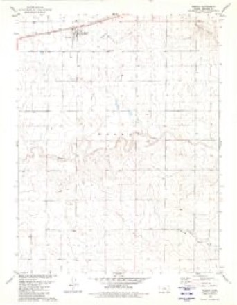
9 topographic sheets cover this place, the earliest surveyed in 1955 and the latest in 1985. It stands in Weskan Township. It lies in ZIP code area 67762. The Survey maps it on the Weskan quadrangle. 158 people lived here at the 2020 count. It stands 3,852 feet above sea level.
Population over time
2 figuresWeskan fell from 161 to 158 between 2010 and 2020. These are the recorded population figures Wikidata holds for this place, reached through the Geographic Names Information System number this page is keyed on rather than by name, so they belong to this place and not to another of the same name. Most are census counts, but not all are: an early figure may be a founding or settlement estimate, and an estimate published within five years of a census is left out. The change column is computed, and is left blank where more than 20 years separate a figure from the one before it, because a gap that long is not a change between two counts.
| Year | People | Change |
|---|---|---|
| 2010 | 161 | |
| 2020 | 158 | -3 (-2%) |
Topographic sheets covering this place
5 surveys from 9 printed sheetsMatched by testing this settlement's coordinate against the published boundary of every sheet in the United States Geological Survey's historical collection. Each opens the scanned sheet at the Survey.
- 1955 USGS Scott City quadrangle1:250000, 4 printings
- 1958 USGS Scott City quadrangle1:250000
- 1959 USGS Weskan quadrangle1:62500
- 1979 USGS Weskan quadrangle1:24000
- 1985 USGS Sharon Springs quadrangle1:100000, 2 printings
Storms near this place
60 of 135 shownRegional context, not property-specific evidence. The National Weather Service names Weskan in 135 storm reports between 1993 and 2025: 78 hail, 40 thunderstorm wind, 10 tornado, 3 flash flood. No death or injury is recorded in these reports. Each account below is quoted exactly as the forecast office filed it, from the NOAA Storm Events Database, and each date opens the federal record of that event.
| When | Event | Place named | Harm | What the report says |
|---|---|---|---|---|
| March 2007 | Tornado (EF1) | Weskan | $250,000 | Tornado began 5 WSW of Tribune and continued into Wallace county, Kansas, crossing the county border near Road 10. EF0 damage occurred in Greeley county. After the tornado crossed into Wallace county, it damaged three unoccupied mobile/modular homes producing EF1 damage. The tornado continued to 3 S of Weskan before dissipating. Other minor damage occurred along the path, however no homes were affected. |
| March 2000 | Thunderstorm Wind | Weskan | $50,000 | Farm equipment storage building and shed destroyed from straight-line winds. |
| September 2005 | Thunderstorm Wind | Weskan | $19,000 | Nine power poles down 1 mile south and 2 east of Weskan. Numerous large tree branches down. 4.30 inches of rain resulted in nuisance flooding. |
| May 2023 | Flood | Weskan | $10,000 | A small barn was damaged due to flooding from heavy rainfall. The amount of rainfall was unknown. |
| July 2015 | Thunderstorm Wind | Weskan | $7,500 | Large elm trees were blown down, including one of the trees being uprooted. A larger tree by the creek, with a diameter of 2.5 to 3 feet, was also uprooted. |
| August 2014 | Hail | Weskan | $3,000 | Golf ball to hen egg size hail occurred near Weskan. The hail broke a few windows and cracked siding on a residence. |
| May 2010 | Thunderstorm Wind | Weskan | $2,000 | Power lines down 5.5 miles north of Weskan. A cottonwood tree was also blown down. |
| May 2010 | Hail | Weskan | $750 | A tractor windshield was broken due to large hail. |
| June 2025 | Thunderstorm Wind | Weskan | - | AWN site Section 22 reported a 64 mph wind gust. |
| June 2025 | Hail | Weskan | - | Report of 1 inch hail from MPing. |
| June 2025 | Thunderstorm Wind | Weskan | - | Weather Link site Section 32 reported a 71 mph wind gust. |
| June 2025 | Thunderstorm Wind | Weskan | - | Weather link site Farm Location reported a 59 mph wind gust. |
| June 2025 | Thunderstorm Wind | Weskan | - | Spotter report of 64 MPH gust. |
| July 2025 | Thunderstorm Wind | Weskan | - | The mesonet site KKSWESKA9 measured the 72 mph wind gust. |
| July 2025 | Thunderstorm Wind | Weskan | - | CWOP site gw6138 recorded a 63 MPH gust. |
| August 2025 | Thunderstorm Wind | Weskan | - | A public report of 70 MPH winds with an outflow boundary ahead of the storms in Weskan. |
| June 2024 | Hail | Weskan | - | Public report of 0.75 inch estimated hail. |
| June 2024 | Thunderstorm Wind | Weskan | - | Public report of 70 MPH estimated winds and pea sized hail. |
| May 2023 | Tornado (EF0) | Weskan | - | Tornado mostly moved over open country in Wallace County. However, the tornado did impact a residence, breaking some sliding glass door windows and flipping a porch roofing section up onto the rest of the house. The tornado eventually crossed US-40 and rapidly dissipated just north of the highway. |
| May 2023 | Tornado (EF0) | Weskan | - | Reported multi-vortex tornado damaged an irrigation pivot. Otherwise, tornado remained over open country. The tornado evenutally crossed US-40 and quickly dissipated. |
| May 2023 | Tornado (EF1) | Weskan | - | Multi-vortex tornado moved through Weskan,KS causing damage to the Weskan school, numerous trees, and additional damage to properties in town. |
| June 2023 | Flood | Weskan | - | Flood waters were reported to be flowing over multiple roads along the Smoky River. This continued for days after the rain ended. |
| July 2023 | Hail | Weskan | - | Dime size hail reported. |
| May 2023 | Flash Flood | Weskan | - | Roughly six inches of water was flowing over CR 3 where it crosses Willow Creek. |
| May 2023 | Flood | Weskan | - | Flooding continued from the prior day, with rainfall on the 31st likely adding to flooding before it ended. |
| August 2023 | Hail | Weskan | - | Report received of golf ball sized hail at location. Time is estimated by radar. |
| July 2023 | Hail | Weskan | - | Public report of at least 1 inch diameter hail. |
| July 2023 | Hail | Weskan | - | Facebook report of moderate to significant hail damage to crops. Actual hail was not seen, only the damage was seen. |
| July 2023 | Hail | Weskan | - | Report of 1 inch hail via social media. |
| June 2022 | Hail | Weskan | - | Pea to golf ball sized hail fell for a duration of thirteen minutes. |
| June 2021 | Hail | Weskan | - | Report received of nickel to quarter sized hail at location. |
| June 2021 | Thunderstorm Wind | Weskan | - | Mesonet station reported a 86 mph thunderstorm wind gust at location. |
| October 2021 | Hail | Weskan | - | Wallace County Dispatch reported quarter sized hail near the town of Weskan, Kansas. |
| June 2021 | Thunderstorm Wind | Weskan | - | Mesonet station DELTA recorded a 59 mph wind gust on the backside of the line of storms. |
| August 2020 | Hail | Weskan | - | Nickel sized hail reported at location. |
| August 2020 | Hail | Weskan | - | Penny to ping pong ball sized hail reported at location. Time is radar estimated. |
| August 2020 | Hail | Weskan | - | Hail ranging from dime to nickel sized reported at location. Time is radar estimated. |
| May 2019 | Thunderstorm Wind | Weskan | - | Estimated by public. |
| June 2019 | Thunderstorm Wind | Weskan | - | Significant swath of wind damage continued into Wallace County from Cheyenne County Colorado. Around and south of Weskan, damage consisted of numerous irrigation pivots overturned, several snapped trees, and numerous snapped power poles. |
| June 2019 | Thunderstorm Wind | Weskan | - | Large branches broken and one large tree uprooted. |
| May 2019 | Hail | Weskan | - | Hail ranged from penny to quarter sized. |
| August 2019 | Thunderstorm Wind | Weskan | - | A trained spotter estimated 60 mph winds about 1 mile NNW of Weskan, KS. They also reported pea size hail. |
| June 2018 | Hail | Weskan | - | The hail ranged from quarter to golf ball in size. |
| July 2018 | Flash Flood | Weskan | - | Many of the roads around Weskan had water running over them in low lying areas. Highway 40 had water running over it in a few places as well. Over five inches of rainfall was measured in Weskan before the rain gauge overflowed. No reports of flood damage to roads were given. |
| May 2018 | Thunderstorm Wind | Weskan | - | Zero visibility due to blowing dust as the gust front moved through Weskan. |
| June 2018 | Hail | Weskan | - | The hail ranged from pea to quarter in size. |
| August 2016 | Hail | Weskan | - | Hail is covering the ground. |
| June 2014 | Funnel Cloud | Weskan | - | A long skinny funnel lasted one minute. |
| June 2014 | Hail | Weskan | - | A few nickel to quarter size hail stones fell, with strong winds afterward, but no estimate of speed was given. Only a trace of rain fell. Time of reported estimated from Doppler radar. |
| August 2014 | Thunderstorm Wind | Weskan | - | The public estimated peak winds of 60 mph north of Weskan. |
| October 2013 | Thunderstorm Wind | Weskan | - | Sustained winds of 60-65 mph occurred for about two minutes. Report relayed via The Spotter Network. |
| September 2013 | Hail | Weskan | - | Rainfall of 0.51 inches was also measured with the storm. |
| June 2012 | Thunderstorm Wind | Weskan | - | Fruit and elm trees damaged, extent unknown. |
| April 2007 | Tornado (EF0) | Weskan | - | No known damage...over open fields. Tornado occurred near Roads N, 3. |
| March 2007 | Tornado (EF0) | Weskan | - | Brief tornado over open fields. No known damage. |
| May 2007 | Tornado (EF0) | Weskan | - | Tornado developed near Roads Q, 6 and dissipated near Roads S, 8. No known damage...over open fields. |
| June 2005 | Hail | Weskan | - | Hail lasted less than five minutes but resulted in car damage. |
| August 2004 | Flash Flood | Weskan | - | Water running over county road. Next day survey...time estimated from radar archive. |
| June 2001 | Thunderstorm Wind | Weskan | - | The strong winds blew down a 8 inch tree limb. |
| October 2000 | Tornado (F1) | Weskan | - | Large tornado as it approached Wallace-Sherman County Line. A few utility poles were ripped out by tornado before it moved into Sherman County. |
Nearest settlements
The eight closest, with where each one stands in the county. Distances are straight-line, computed from the Geographic Names Information System coordinates.
| Map | Place | Distance | Sheets |
|---|---|---|---|
| Sunland | 7.8 miles | 9 | |
| Sharon Springs | 11.5 miles | 9 | |
| Wallace | 20.0 miles | 9 |
Elsewhere
Matched on this settlement's Geographic Names Information System number rather than its name, so it cannot be a different place of the same name in another state.
| Wikipedia article on Weskan | An encyclopaedic summary. Its text is share-alike, so it is linked here rather than copied. |
| Wikidata item Q7983815 | The structured record the population and elevation above come from. Public domain (CC0). |
Provenance
This settlement is recorded in the Geographic Names Information System as feature 471161. The sheet list is computed by point-in-boundary test against the United States Geological Survey's historical topographic inventory. Both are works of the United States government and carry no copyright under 17 U.S.C. 105.
Storms. NOAA National Centers for Environmental Information, Storm Events Database https://www.ncei.noaa.gov/stormevents/ A work of the United States government, no copyright under 17 U.S.C. 105. Narratives are quoted verbatim from the National Weather Service report and are not edited or summarised.