 Block
From the record
7 National Register listings published here.
Sources: the National Register database, National Park Service
59 topographic sheets and 3 fire insurance atlases across 1 place.
7 National Register listings published here.
Sources: the National Register database, National Park Service
Every property in this county listed on the National Register of Historic Places, with the year it was listed and the federal nomination document.
| Photograph | Property | Type | Listed | Reference |
|---|---|---|---|---|
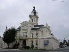 | Adair County Courthouse | building | 1974 | 74000847 |
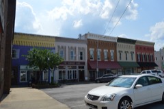 | Columbia Commercial Historic District | district | 2017 | 100000733 |
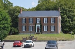 | John Field House | building | 1978 | 78001294 |
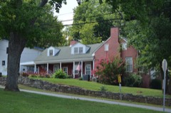 | Dr. Nathan Gaither House | building | 1979 | 79000956 |
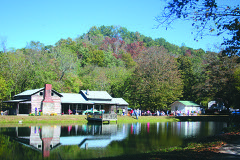 | Janice Holt and Henry Giles Log House | building | 1997 | 97001237 |
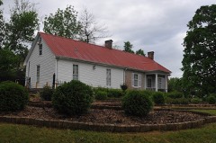 | Daniel Trabue House | building | 1974 | 74000848 |
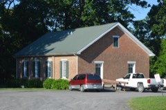 | Zion Meetinghouse and School | building | 1976 | 76000843 |
Sampled issues, machine-read from the Library of Congress scan and published page by page, so every headline and column is searchable text.
Columbia, Ky., 1897 to 1987. Machine-read from the Library of Congress scan.
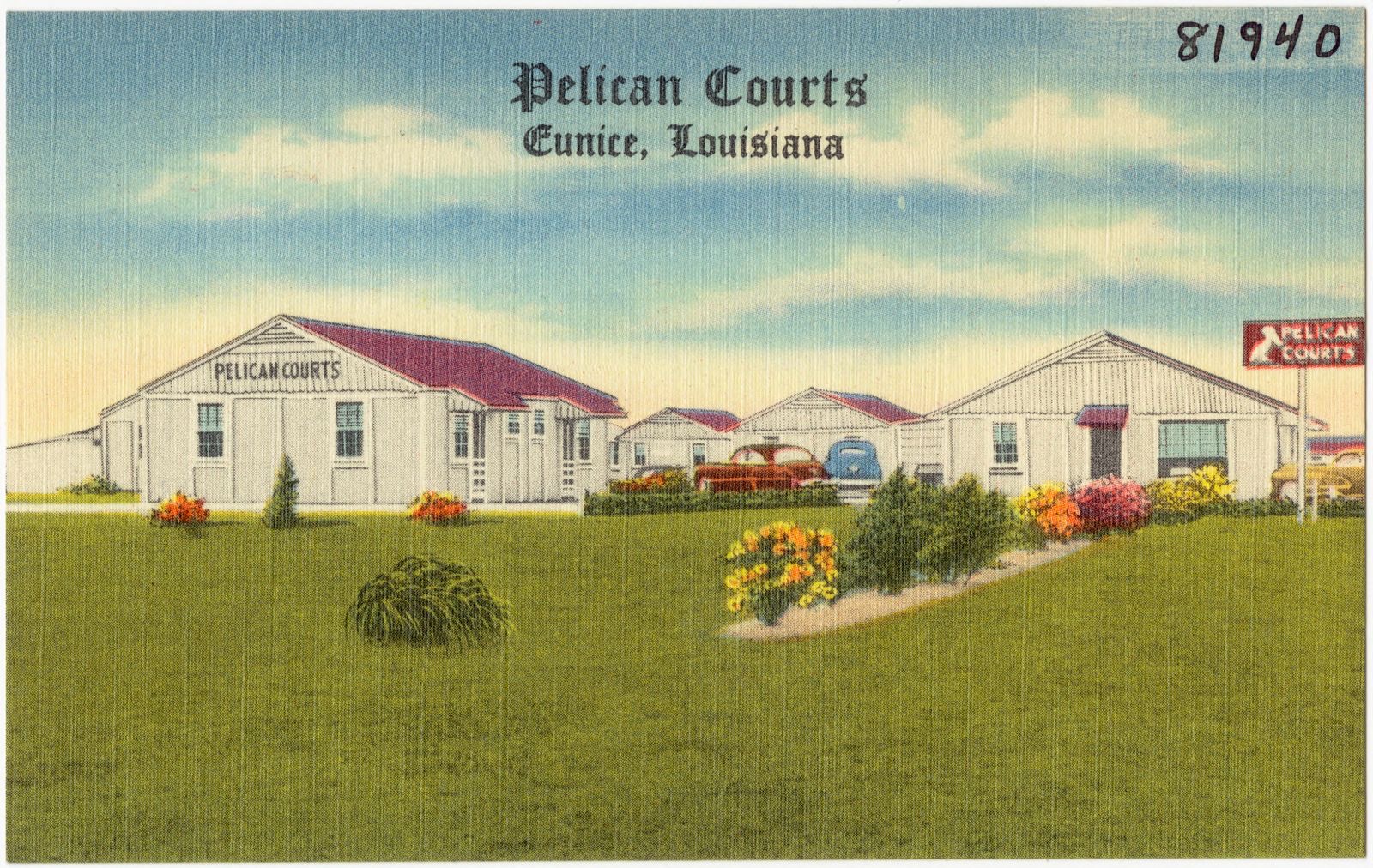
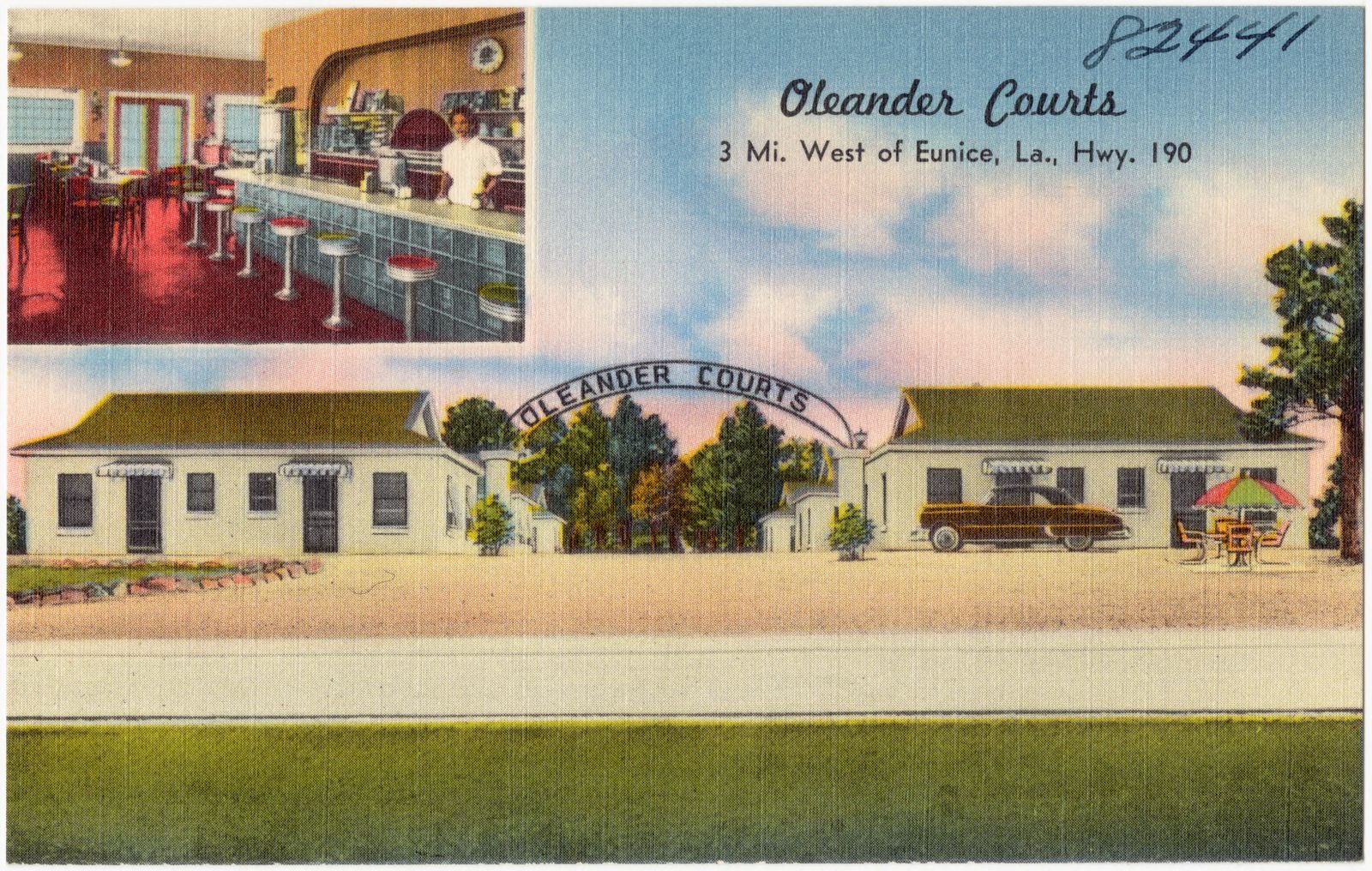
Selected from the Digital Public Library of America's 2 image records catalogued for this county. Every one shown here carries a public-domain status or a licence that permits reuse on a site that carries advertising; non-commercial, share-alike and restricted images are excluded. The selection is spread across the county's towns (at most eight per town), so no single institution's bulk upload crowds out the rest. Each opens the holding library's record, and the complete set at the Digital Public Library of America is one click away.
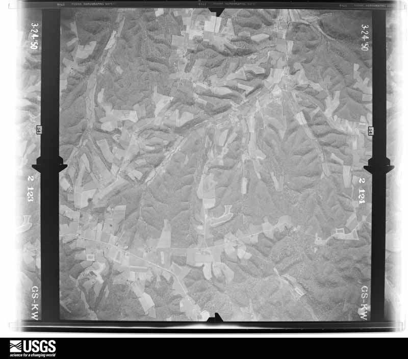
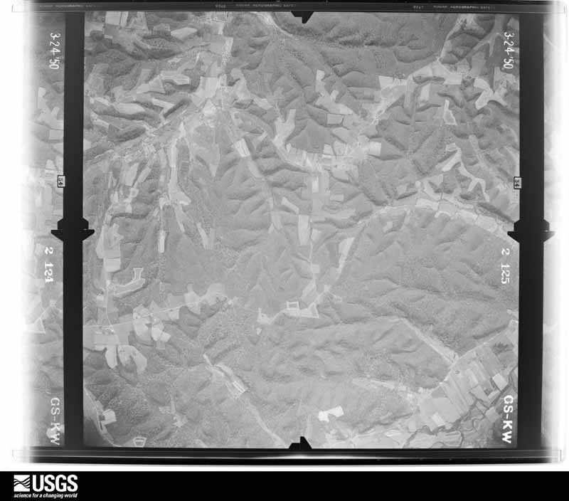
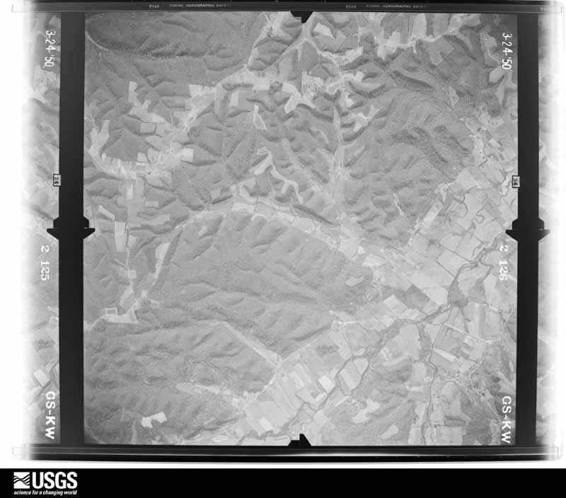
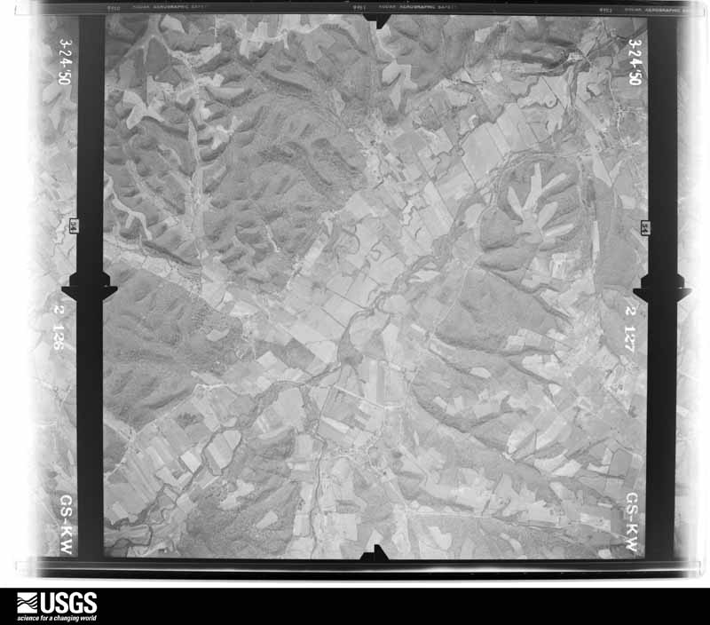
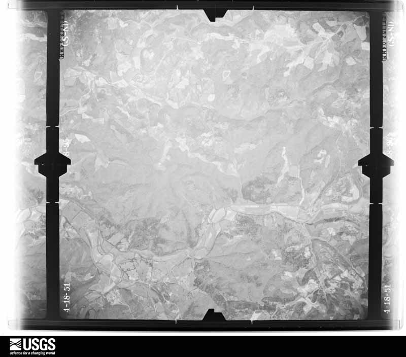
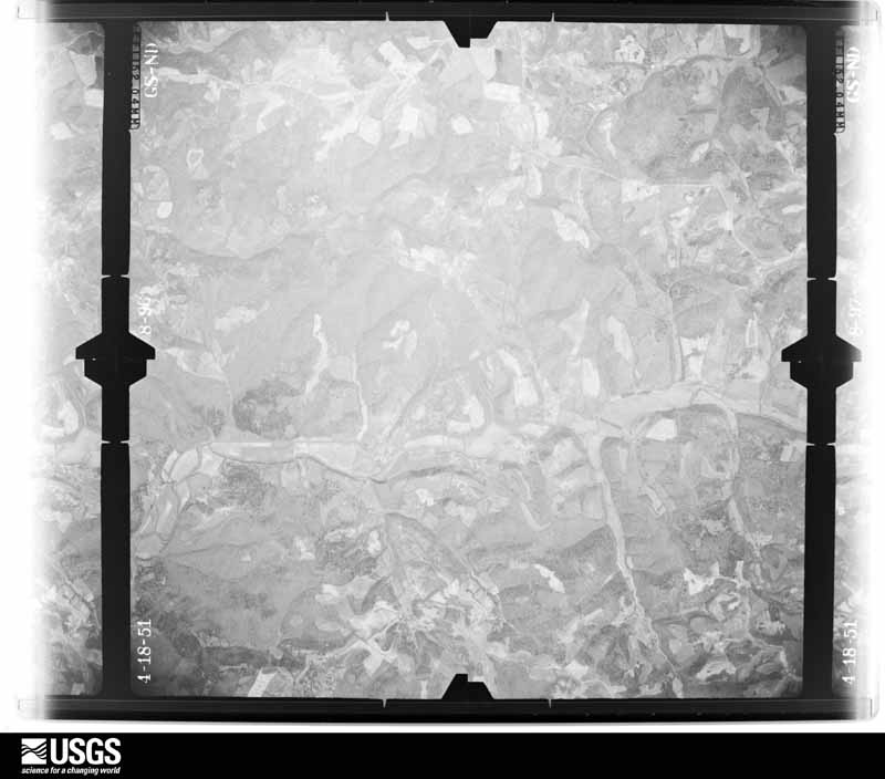
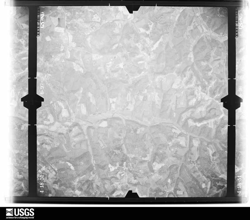
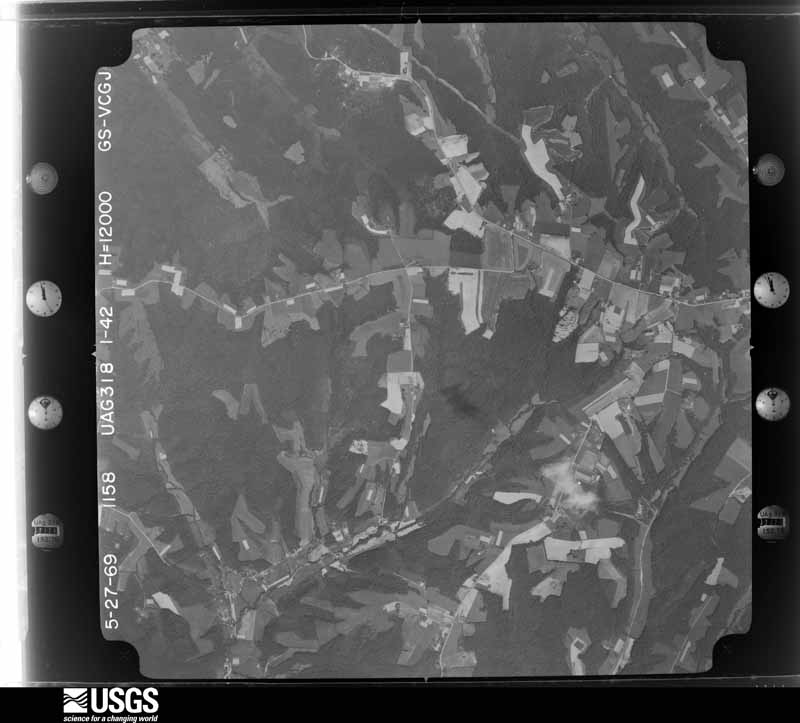
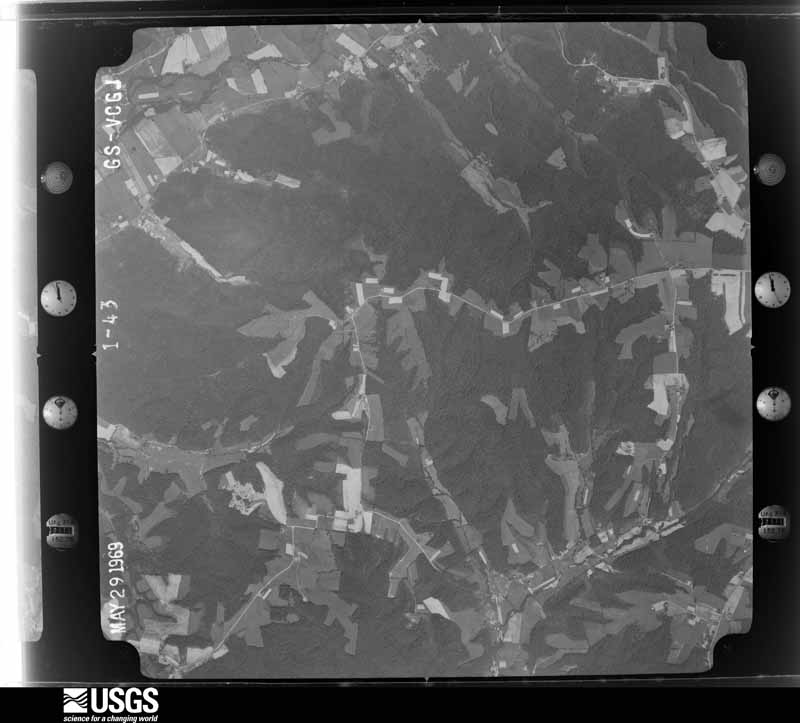
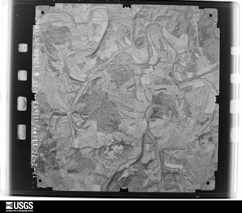
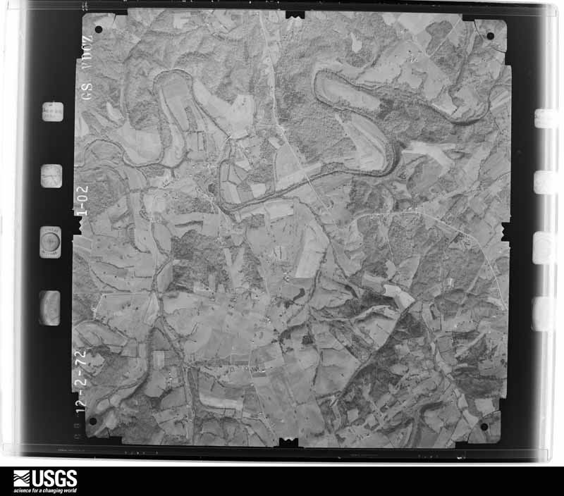
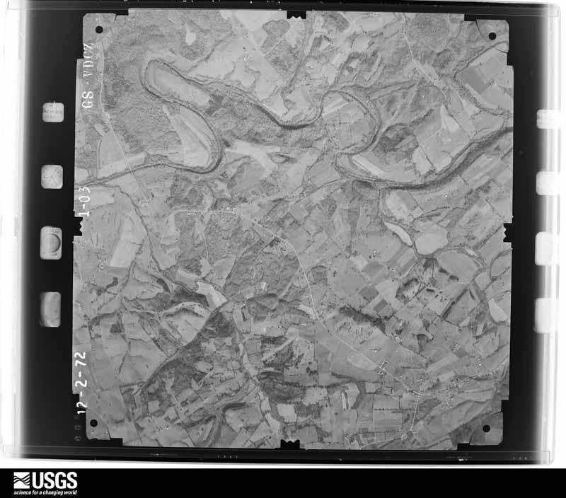
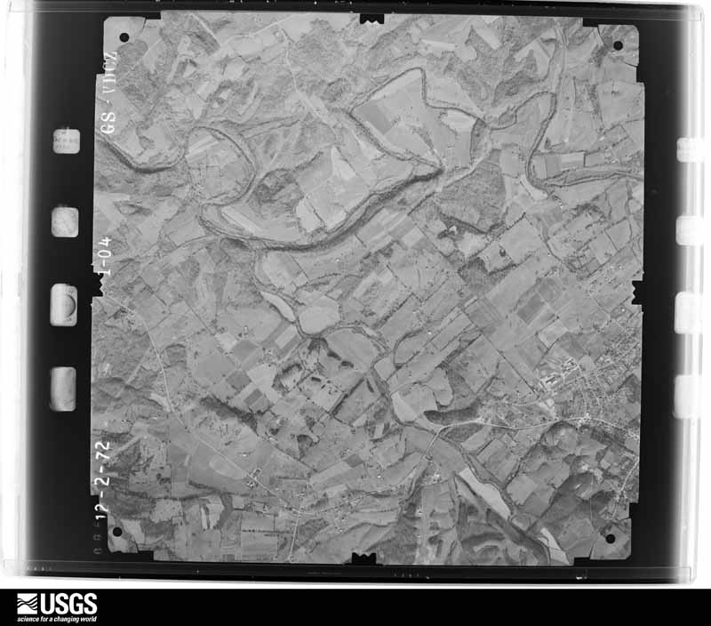
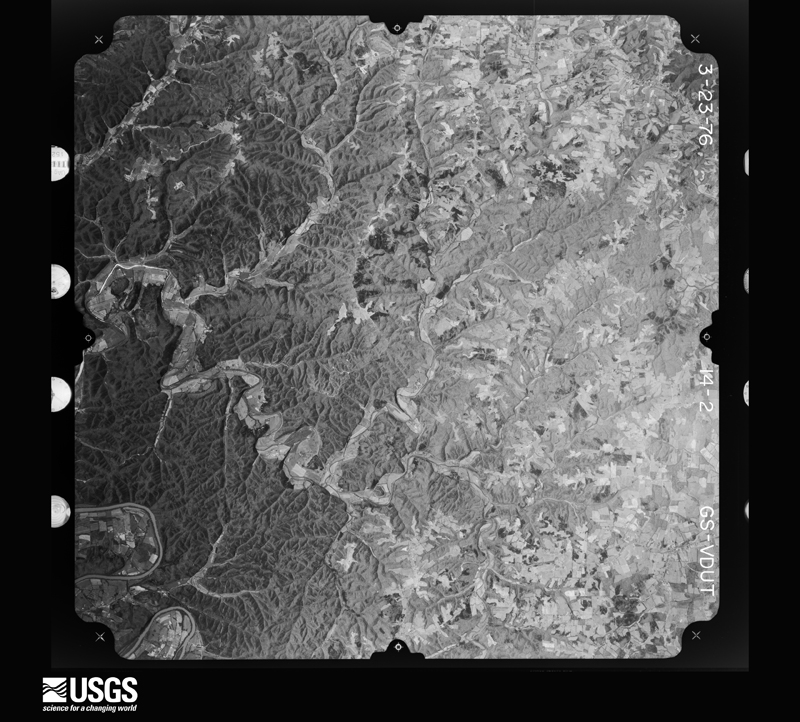
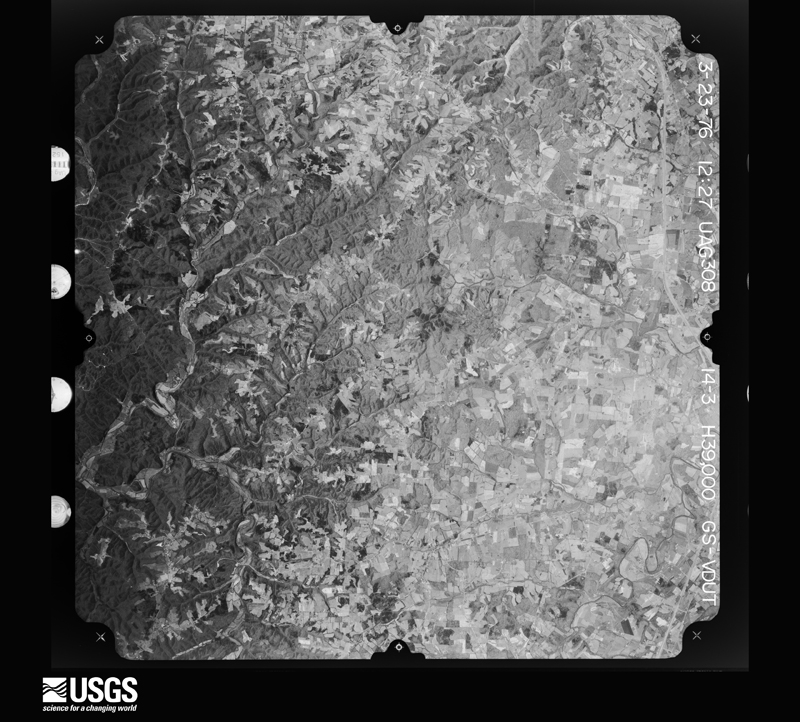
Flown by the U.S. Geological Survey between 1937 and 1989, the Aerial Photo Single Frames collection is the definitive mid-century view of the land: fields, roads and rivers as the camera saw them. The Survey holds 761 frames inside the rectangle that bounds this county; the 25 frames below were taken over the county itself, chosen across the decades of flights (at most four a year from that rectangle), so one flight cannot crowd out the rest. The full set is free to browse and download at EarthExplorer under the dataset Aerial Photo Single Frames.
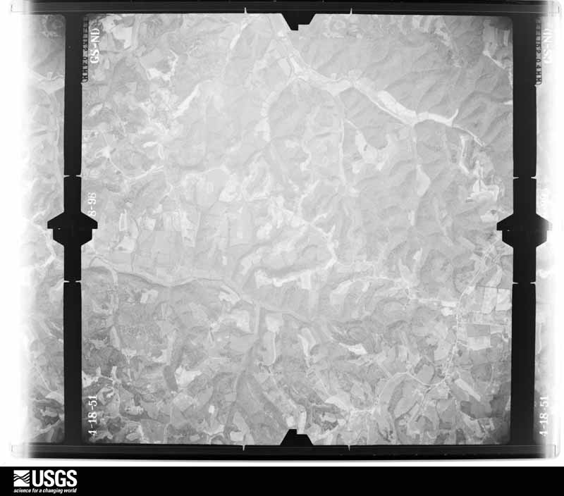
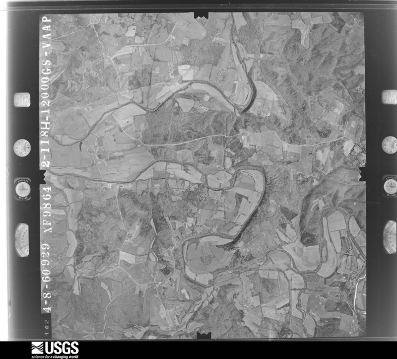
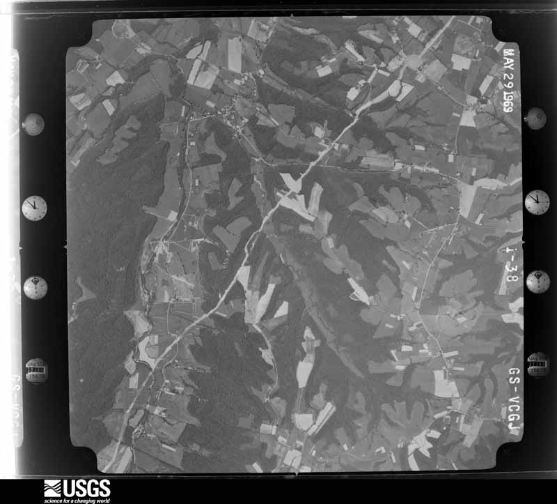
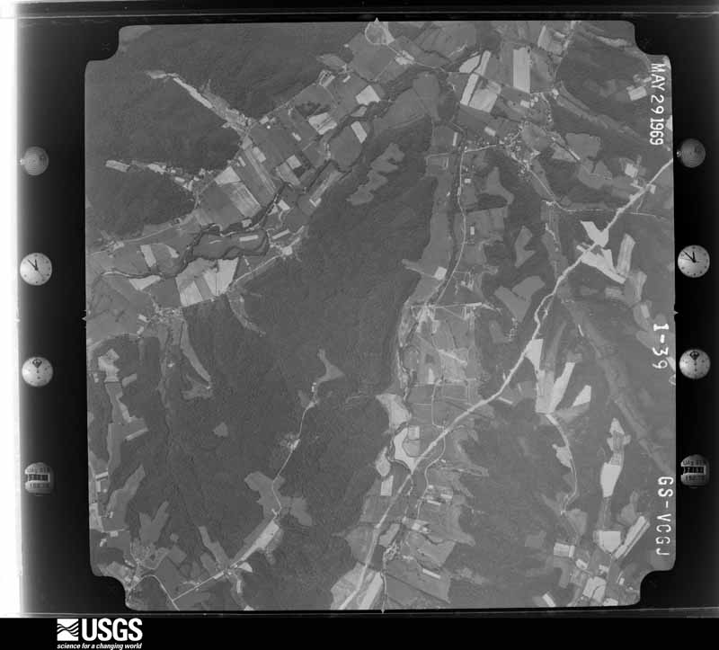






The thermometers that kept this county's weather, and the gages that measured the flow of its streams, as the federal records hold them. The extremes below are measured values from those records, not estimates.
Who lived here in 1950, one enumeration district at a time, as the Census Bureau described each district. Each row opens its official National Archives result, with Population Schedules and ED Maps available there.
Every wildfire the federal occurrence database records inside this county: 149 of them, burning about 1,162 acres. None started naturally and 23 were recorded as arson. Each settlement page carries the fires within five miles of it.
| Reported cause | Fires |
|---|---|
| Debris and open burning | 59 |
| Missing data/not specified/undetermined | 33 |
| Arson/incendiarism | 23 |
| Recreation and ceremony | 19 |
| Equipment and vehicle use | 6 |
| Railroad operations and maintenance | 5 |
| Smoking | 4 |
The five largest, by the area the report gives. Two of them were set deliberately.
| Date | Cause | Size | Reported by | Name on the report |
|---|---|---|---|---|
| 26 February 2000 | Debris and open burning | 142 acres | Kentucky Division of Forestry | not named |
| 7 March 2002 | Debris and open burning | 80 acres | Kentucky Division of Forestry | not named |
| 1 November 2001 | Arson/incendiarism | 80 acres | Kentucky Division of Forestry | not named |
| 17 March 1999 | Smoking | 40 acres | Kentucky Division of Forestry | not named |
| 28 November 2005 | Missing data/not specified/undetermined | 40 acres | Kentucky Division of Forestry | not named |
| 28 November 2005 | Missing data/not specified/undetermined | 37 acres | Kentucky Division of Forestry | not named |
| 8 March 2002 | Debris and open burning | 35 acres | Kentucky Division of Forestry | not named |
| 13 September 1998 | Arson/incendiarism | 35 acres | Kentucky Division of Forestry | not named |
Every settlement page carries the fires within five miles of it - see the settlement index below.
The NOAA Storm Events Database holds 255 reports for this county, causing 7 deaths, 71 injuries and about $12,084,000 in recorded property damage. Each settlement page carries the reports that name it.
| Kind of event | Reports |
|---|---|
| Thunderstorm Wind | 161 |
| Hail | 47 |
| Flash Flood | 24 |
| Tornado | 13 |
| Flood | 7 |
| Heavy Rain | 3 |
The most serious of them, by death, then injury, then recorded damage. The accounts are quoted exactly as the forecast office filed them.
| When | Event | Place named | Harm | What the report says |
|---|---|---|---|---|
| April 1971 | Tornado (F4) | not stated | 6 killed, 58 hurt, $2,500,000 | no account filed |
| December 2009 | Flood | Breeding | 1 killed, $10,000 | A fatality occurred near Casey Creek the evening of December 8th. A man was killed as he attempted to rescue his wife who was trapped in high water. |
| March 1997 | Tornado (F3) | Cane Vly | 7 hurt, $3,000,000 | no account filed |
| April 1991 | Thunderstorm Wind | not stated | 6 hurt | no account filed |
| April 1998 | Tornado (F3) | Portland | $3,000,000 | no account filed |
| March 2012 | Hail | Columbia | $1,500,000 | An extensive hail storm brought widespread damaging hail to Adair County with insurance claims for automobiles and homes expected to exceed 1 million dollars. In Columbia, over 150 skylights at a Wal-Mart were smashed. A lengthy swath of hail fell from a supercell thunderstorm that traveled from Nell, over 10 miles southwest of Columbia, through Columbia. Extensive damage to windows, siding, roofs and gutters was noted along a west to east path along State Highway 80 southwest of Columbia, and near the intersection of State Highways 704 and 55 just south of town. |
| November 2018 | Tornado (EF1) | Cane Vly | $750,000 | This skipping tornado first touched down along Campbellsville Rd near the community of Cane Valley, where it downed power lines as it snapped tree limbs and uprooted several large trees. Moving eastward over open fields, it tore most of the roof off a barn at the end of Doug White Road, plastering insulation from the barn onto the northeast side of the adjacent home. To the north of the barn and home, it tossed a 1500 lb. hay roll southeast over a fence. From here, the tornado raced east-northeast over more fields, where it snapped the tops off a few trees before it hit the next farm, at Milky Way Lane on Mt. Carmel Road. Here it destroyed one large outbuilding and tore much of the roof off another in addition to destroying two small grain hoppers. Flying debris damaged at least two other buildings and vehicles, with roofing debris scattered a quarter of a mile to the northeast. Across the road from these buildings, the tornado tore the roof off and partially collapsed the wall of another large outbuilding. Flying debris from this building damaged another outbuilding, while columns on the southwest-facing front porch of the farm home were blown out as the porch roof was briefly elevated.||The tornado continued eastward, snapping the trunks of several large trees along Butler Creek and damaging carports and a metal outbuilding along Holmes Bend Rd and Turkey Trace. Again moving over open land, the final two buildings damaged were metal outbuildings on Willis Rd and near the intersection of West Egypt Rd and Knifley Rd. It also toppled the sign of the Green River Bait and Grocery before lifting as it crossed Knifley Rd. |
| May 1998 | Tornado (F2) | Pellyton | $300,000 | no account filed |
| April 2015 | Tornado (EF1) | Glens Fork | $150,000 | An NWS Storm Survey found that the tornado first touched down 6 miles southeast of Columbia along Dale Morrison Road. Numerous trees were uprooted, a 145-foot barn was destroyed, and the top sheared off an adjacent silo. The tornado then moved east into a wooded area, snapping and uprooting trees. It damaged three more barns and uprooted more trees along Montpelier Rd. A home near the intersection of Montpelier Rd and Old Montpelier Rd sustained minor siding damage. |
| January 2006 | Tornado (F2) | Columbia | $150,000 | no account filed |
| May 2010 | Flash Flood | Columbia | $100,000 | Numerous roads across the county were closed due to flash flooding. A total of eight to ten inches of rain fell across Adair county from May 1-2. |
| January 2006 | Tornado (F1) | Pellyton | $75,000 | no account filed |
| March 2004 | Thunderstorm Wind | Columbia | $60,000 | A large tool shed was blown down on Sand Lick Road. The roof was blown off a small shed at a residence on Cane Valley Mill Road. Several trees were blown down across State Highway 80. |
| June 2018 | Thunderstorm Wind | Gradyville | $50,000 | The county Emergency Manager reported a communications tower blown down due to severe thunderstorm winds. |
| January 2008 | Thunderstorm Wind | Milltown | $50,000 | Thunderstorm winds blew a tree on to a home in the Milltown area, causing roof damage. High winds tore the roof off a mobile home on Sanders Ridge Road. Thunderstorm winds also downed numerous trees and power lines. |
| June 1998 | Thunderstorm Wind | Columbia | $50,000 | no account filed |
| June 2019 | Thunderstorm Wind | Gadberry | $30,000 | Multiple trees and power lines were reported down across the southern half of Adair County. |
| July 2016 | Thunderstorm Wind | Columbia | $30,000 | A trained spotter reported roof damage to a business in the area from severe thunderstorm winds. |
| July 2015 | Thunderstorm Wind | Bliss | $30,000 | An Adair County law enforcement official reported a roof was blown off a house due to severe thunderstorm winds. |
| November 2000 | Thunderstorm Wind | Countywide | $30,000 | no account filed |
| June 1964 | Tornado (F2) | not stated | $25,000 | no account filed |
| June 1961 | Tornado (F2) | not stated | $25,000 | no account filed |
| August 2016 | Thunderstorm Wind | Columbia | $20,000 | Local law enforcement reported trees down across multiple locations along with damage to a mobile home. |
| July 2015 | Thunderstorm Wind | Gradyville | $20,000 | A public report was received of a tree down on a trailer due to severe thunderstorm winds. |
| October 2014 | Hail | Holmes | $20,000 | A boater at the Holmes Bend Marina on Green River Lake reported that 1.75 inch hail damaged the covers of some boats. |
| June 1998 | Thunderstorm Wind | Columbia | $20,000 | no account filed |
| May 2018 | Thunderstorm Wind | Columbia | $15,000 | A tree caught fire after knocking down a power line on Harvey Street. |
| May 2018 | Thunderstorm Wind | Columbia Ludot Arpt | $15,000 | Trees and power lines down on Edmonton Road outside of Columbia. |
| January 2013 | Thunderstorm Wind | Sano | $15,000 | A barn was flattened. Nearby, a home sustained gutter damage. |
| February 2025 | Flash Flood | Portland | $10,000 | A water rescue was performed on Milltown Road. |
| April 2007 | Thunderstorm Wind | Columbia | $10,000 | A barn was damaged by thunderstorm winds. Trees and power lines were downed county wide. |
| March 1997 | Thunderstorm Wind | Western Parts | $10,000 | no account filed |
| July 2015 | Thunderstorm Wind | Kemp | $5,000 | A law enforcement official reported that a tree fell on a telephone line due to severe thunderstorm winds. |
| July 2018 | Thunderstorm Wind | Ozark | $4,000 | An open equipment storage shed was blown over. |
| April 1996 | Thunderstorm Wind | Columbia | $2,000 | no account filed |
| July 2015 | Tornado (EF0) | Breeding | $1,000 | This small tornado destroyed one outbuilding in addition to uprooting and snapping limbs on several trees in a very narrow path near the community of Breeding in southwest Adair County. |
| March 2006 | Thunderstorm Wind | Columbia | $1,000 | A metal shed was blown away. |
| July 2004 | Thunderstorm Wind | Glens Fork | $1,000 | Trees were downed and an outbuilding was blown over. |
| April 2026 | Thunderstorm Wind | Columbia | - | A tree was blocking an unknown roadway. |
| April 2026 | Thunderstorm Wind | Bliss | - | There was a large tree blocking the Cumberland Parkway. |
| March 2026 | Thunderstorm Wind | Gradyville | - | A tree was blown down, blocking the westbound lanes of the Cumberland Parkway. |
| March 2026 | Thunderstorm Wind | Gadberry | - | A tree was blown down along Kentucky Route 55 between Columbia and Glens Fork. |
| May 2025 | Thunderstorm Wind | Fairplay | - | Multiple trees were blown down in Fairplay. |
| May 2025 | Thunderstorm Wind | Columbia | - | Multiple trees were blown down in Columbia. |
| April 2025 | Flash Flood | Fairplay | - | Multiple roads were closed across the county. |
| February 2025 | Flash Flood | Columbia | - | Numerous road closures were reported across Adair County as a result of flash flooding and high water. |
| June 2025 | Thunderstorm Wind | Garlin | - | A 61 mph wind gust was measured at the Adair County KY Mesonet site. |
| June 2025 | Thunderstorm Wind | Glens Fork | - | A tree was blown down by strong thunderstorm winds near the intersection of Kentucky Route 55 and Glens Fork Road. |
| April 2025 | Thunderstorm Wind | Weed | - | There was a tree down on an unknown road. |
| September 2025 | Thunderstorm Wind | Garlin | - | There were trees down at Bull Run and Hutchinson Road, Bowen and Greenburg, on the 200 block of Chickadee Lane, and on Knifley Road. |
| September 2025 | Thunderstorm Wind | Ozark | - | There was a tree down across Reeves Road. |
| May 2024 | Thunderstorm Wind | Cane Vly | - | A few trees were downed near the intersection of Knifley Road and Holmes Bend Road. |
| May 2024 | Thunderstorm Wind | Fairplay | - | Several trees were blown down by strong winds in Fairplay in southern Adair County. |
| September 2024 | Hail | Columbia | - | Quarter sized hail was observed in Columbia. |
| August 2024 | Thunderstorm Wind | Ella | - | Trees were down, and an outbuilding was destroyed. |
| May 2024 | Thunderstorm Wind | Cane Vly | - | Adair County Kentucky Mesonet site observed 51 knots. |
| July 2024 | Thunderstorm Wind | Columbia | - | Trees and power lines were downed along Hurt Street in Columbia. |
| July 2024 | Thunderstorm Wind | Fairplay | - | A large garage was destroyed by strong winds in southern Adair County. |
| July 2024 | Flash Flood | Purdy | - | The bridge over Sulphur Creek along Purdy Sano Road was destroyed by flood waters. |
| July 2024 | Flash Flood | Mc Gaha | - | Flash flooding occurred in multiple locations along Sulphur Creek, causing several roads which cross the creek to become impassable. Some roads which cross the creek were damaged by flood waters. |
The Survey's mineral resources record lists 4 workings inside this county. 1 still produces and 3 are closed or unrecorded. Each settlement page carries the workings within five miles of it.
| Commodity | Workings |
|---|---|
| Stone, Crushed/Broken | 3 |
| Clay | 1 |
The least common of them first, because a county's hundredth gravel pit says nothing its first ten did not.
| Where | Site | Commodity | Status | Recorded |
|---|---|---|---|---|
| Neatsville Shale | Clay | Prospect | ||
| Butler Quarry | Stone, Crushed/Broken | Past Producer | ||
| Patton Quarry | Stone, Crushed/Broken | Past Producer | ||
| Williams Quarry | Stone, Crushed/Broken | Producer |
Named settlements recorded in the Geographic Names Information System, each with the topographic sheets covering it. Villages, hamlets and abandoned places alike. Each is shown with the nearest named watercourse or landform and the survey quadrangle it falls on. The 1 place that was also surveyed for fire insurance comes first, with the number of atlases and photographs held for them.
Columbia census division · 42728 · On Bull Run Creek · Columbia quadrangle
9 sheets, 1954 to 1986
Fire insurance: 3 atlases
Casey Creek census division · 42728 · Near Absher Ridge · Dunnville quadrangle
9 sheets, 1953 to 1986
Gradyville census division · 42728 · On Bird Ridge · Breeding quadrangle
9 sheets, 1953 to 1985
No longer a settlement
Columbia census division · 42728 · On Butler Branch · Columbia quadrangle
9 sheets, 1954 to 1986
No longer a settlement
Casey Creek census division · 42728 · On Mill Creek · Mannsville quadrangle
9 sheets, 1952 to 1986
Cane Valley census division · 42728 · On Russell Branch · Cane Valley quadrangle
12 sheets, 1953 to 1986
Columbia census division · 42728 · On Big Branch · Montpelier quadrangle
10 sheets, 1953 to 1986
No longer a settlement
Columbia census division · 42728 · Near Concord Ridge · Montpelier quadrangle
10 sheets, 1953 to 1986
Glens Fork census division · 42728 · Near Brown Hollow · Amandaville quadrangle
10 sheets, 1953 to 1985
Cane Valley census division · 42728 · Cane Valley quadrangle
12 sheets, 1953 to 1986
No longer a settlement
Casey Creek census division · 42753 · On Spout Springs Branch · Knifley quadrangle
10 sheets, 1954 to 1986
White Oak census division · 42728 · On Hawk Branch · Knifley quadrangle
10 sheets, 1954 to 1986
White Oak census division · 42728 · Near Busby Hollow · Dunnville quadrangle
9 sheets, 1953 to 1986
Columbia census division · 42728 · Near Earl Ridge · Columbia quadrangle
9 sheets, 1954 to 1986
Gradyville census division · 42728 · Breeding quadrangle
9 sheets, 1953 to 1985
No longer a settlement
Columbia census division · 42728 · On Brush Creek · Columbia quadrangle
9 sheets, 1954 to 1986
No longer a settlement
Columbia census division · 42728 · Near Burton Ridge · Columbia quadrangle
9 sheets, 1954 to 1986
White Oak census division · 42642 · Near Tavern Spring Hollow · Montpelier quadrangle
10 sheets, 1953 to 1986
Gradyville census division · 42728 · Near Mount Matney · Gradyville quadrangle
9 sheets, 1953 to 1986
Columbia census division · 42728 · On Sulphur Creek · Columbia quadrangle
9 sheets, 1954 to 1986
Cane Valley census division · 42728 · On Jones Branch · Cane Valley quadrangle
12 sheets, 1953 to 1986
Columbia census division · 42728 · On Brush Creek · Columbia quadrangle
9 sheets, 1954 to 1986
No longer a settlement
Glens Fork census division · 42728 · On Burns Creek · Amandaville quadrangle
10 sheets, 1953 to 1985
Glens Fork census division · 42728 · On Cedar Creek · Montpelier quadrangle
10 sheets, 1953 to 1986
Cane Valley census division · 42728 · On Russell Branch · Cane Valley quadrangle
12 sheets, 1953 to 1986
Gradyville census division · 42728 · Near Bennett Ridge · East Fork quadrangle
9 sheets, 1953 to 1986
Casey Creek census division · 42753 · On Crooked Creek · Knifley quadrangle
10 sheets, 1954 to 1986
Columbia census division · 42728 · On Glens Fork · Columbia quadrangle
9 sheets, 1954 to 1986
No longer a settlement
White Oak census division · 42728 · On Millerfield Ridge · Dunnville quadrangle
9 sheets, 1953 to 1986
No longer a settlement
Gradyville census division · 42728 · On Big Creek · Gradyville quadrangle
9 sheets, 1953 to 1986
Columbia census division · 42728 · Cane Valley quadrangle
12 sheets, 1953 to 1986
No longer a settlement
Casey Creek census division · 42728 · On Drye Branch · Knifley quadrangle
10 sheets, 1954 to 1986
Gradyville census division · 42129 · On Reece Branch · Gradyville quadrangle
9 sheets, 1953 to 1986
White Oak census division · 42728 · On Rock Lick Branch · Montpelier quadrangle
10 sheets, 1953 to 1986
No longer a settlement
White Oak census division · 42728 · On Oil Well Branch · Montpelier quadrangle
10 sheets, 1953 to 1986
Columbia census division · 42728 · On Pettys Fork · Columbia quadrangle
9 sheets, 1954 to 1986
No longer a settlement
Casey Creek census division · 42728 · On Short Creek · Dunnville quadrangle
9 sheets, 1953 to 1986
Gradyville census division · 42728 · On Sulphur Fork · Gradyville quadrangle
9 sheets, 1953 to 1986
Gradyville census division · 42728 · On Short Creek · Gradyville quadrangle
9 sheets, 1953 to 1986
Gradyville census division · 42129 · On Moss Branch · East Fork quadrangle
9 sheets, 1953 to 1986
No longer a settlement
Gradyville census division · 42728 · Near Bird Ridge · Amandaville quadrangle
10 sheets, 1953 to 1985
No longer a settlement
Columbia census division · 42728 · On Brush Creek · Columbia quadrangle
9 sheets, 1954 to 1986
No longer a settlement
Gradyville census division · 42728 · Near Harvey Ridge · Gradyville quadrangle
9 sheets, 1953 to 1986
Columbia census division · 42728 · On Brush Creek · Columbia quadrangle
9 sheets, 1954 to 1986
No longer a settlement
Gradyville census division · 42728 · On Cool Springs Creek · Gradyville quadrangle
9 sheets, 1953 to 1986
No longer a settlement
Glens Fork census division · 42728 · Near Earl Ridge · Amandaville quadrangle
10 sheets, 1953 to 1985
No longer a settlement
Gradyville census division · 42728 · On Weed Ridge · Gradyville quadrangle
9 sheets, 1953 to 1986
Casey Creek census division · 42728 · Clementsville quadrangle
10 sheets, 1952 to 1986
No longer a settlement
The vanished settlements of Adair County: the places named above that are no longer on the map.
9 topographic sheets and 3 fire insurance atlases, 1929 to 1941