 Block
From the record
13 National Register listings published here.
Sources: the National Register database, National Park Service
47 topographic sheets and 7 fire insurance atlases across 1 place.
13 National Register listings published here.
Sources: the National Register database, National Park Service
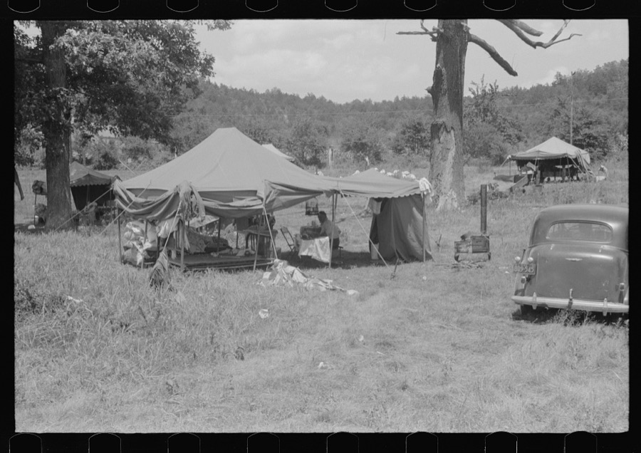
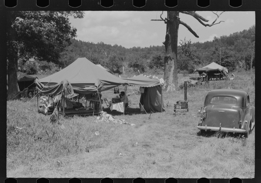
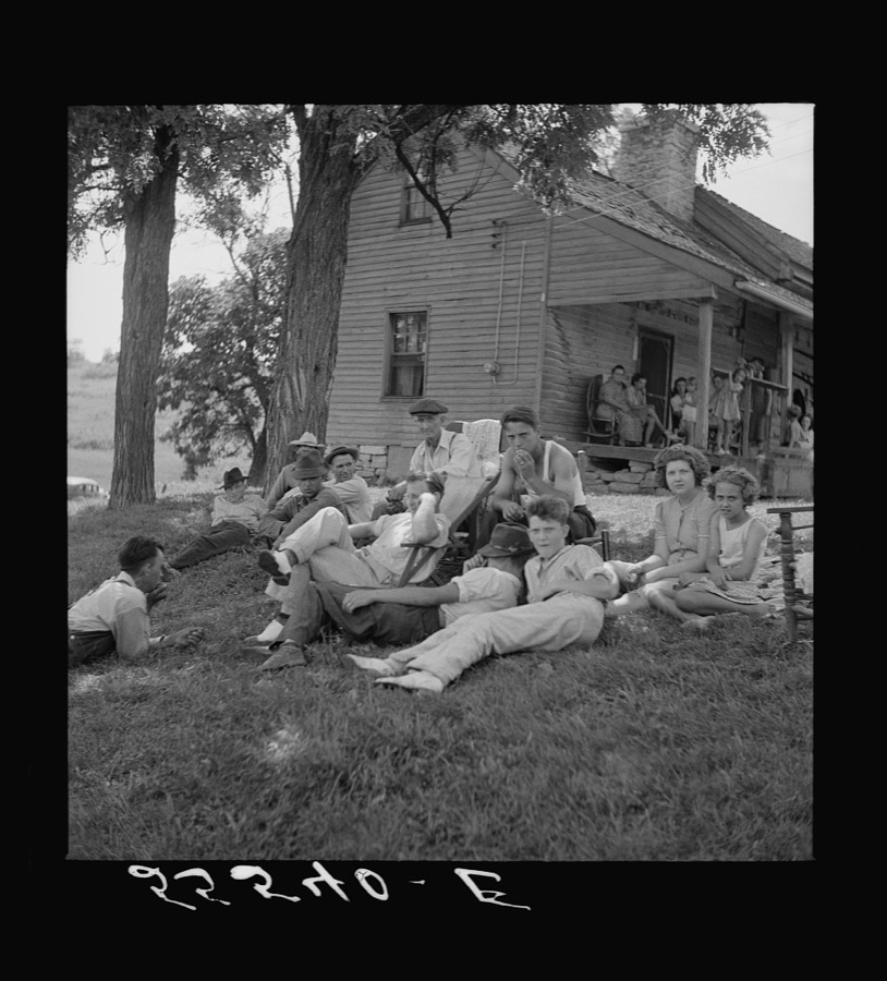
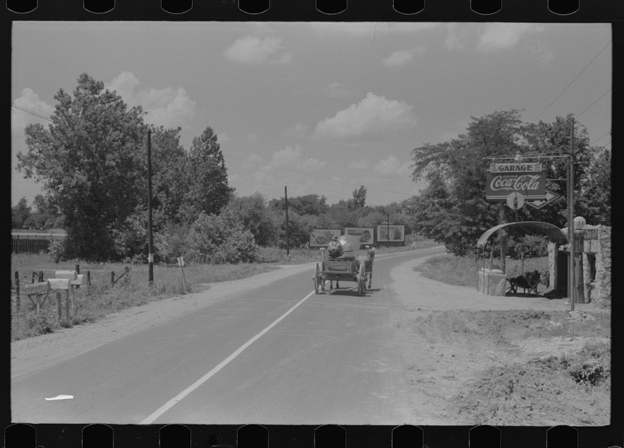
Taken for the Office of War Information and the Farm Security Administration, who photographed the country between 1935 and 1944. Works of United States government photographers, with no known restriction on use. Each opens its catalogue record.
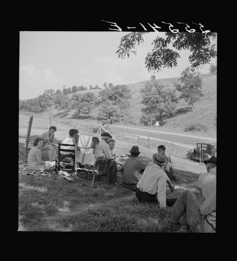
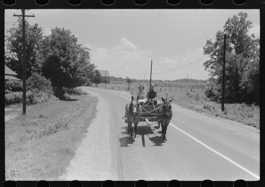
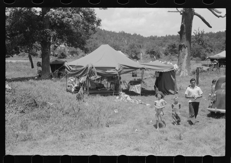
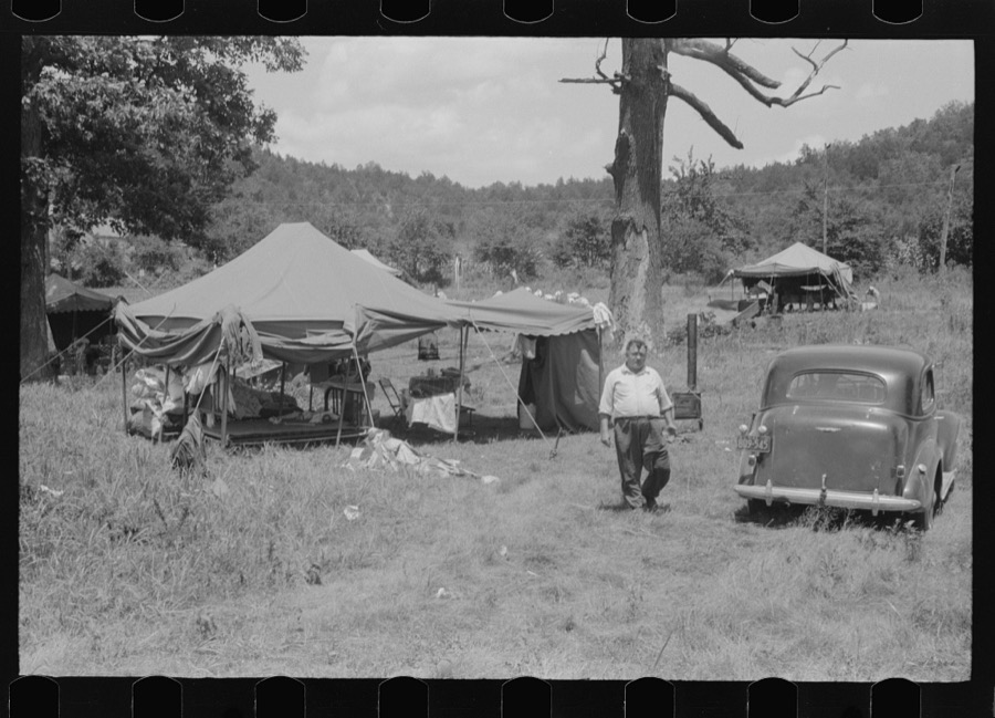
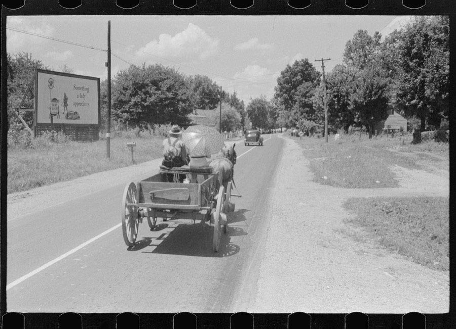
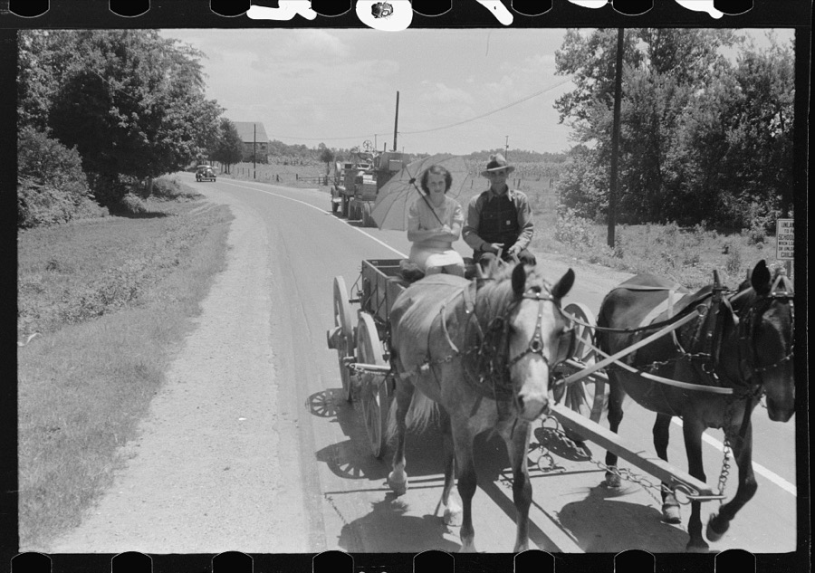
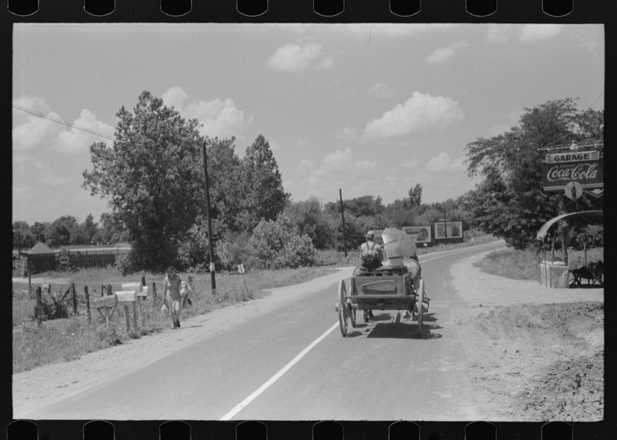
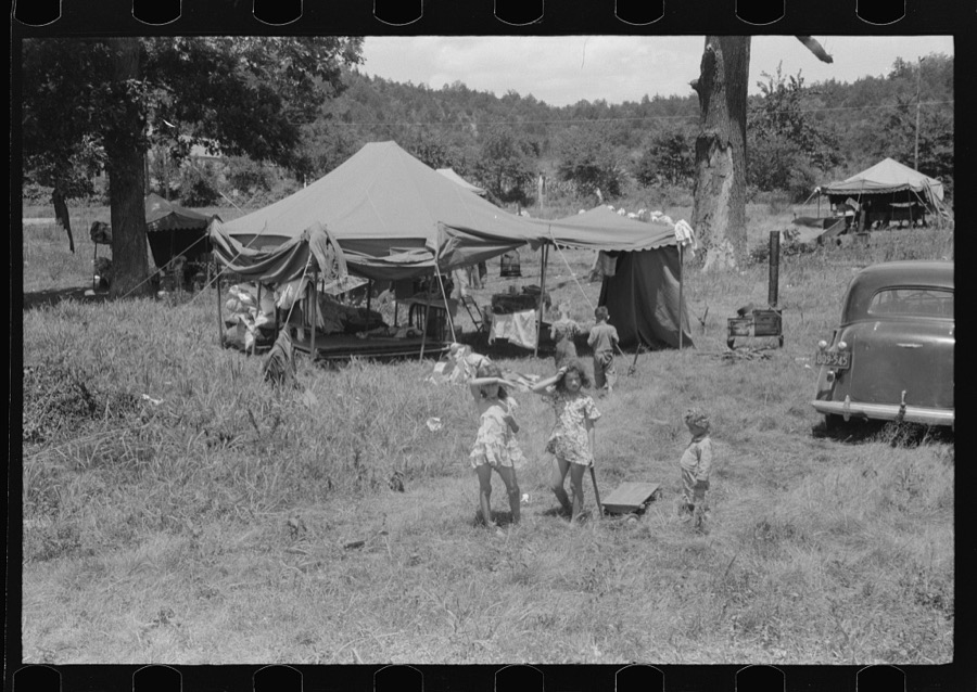
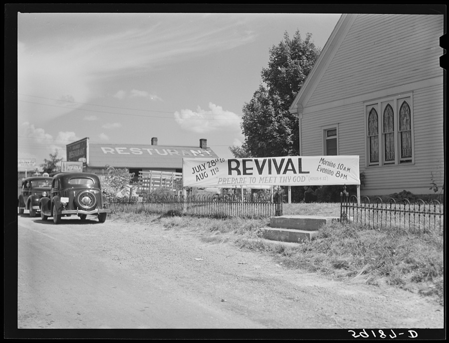
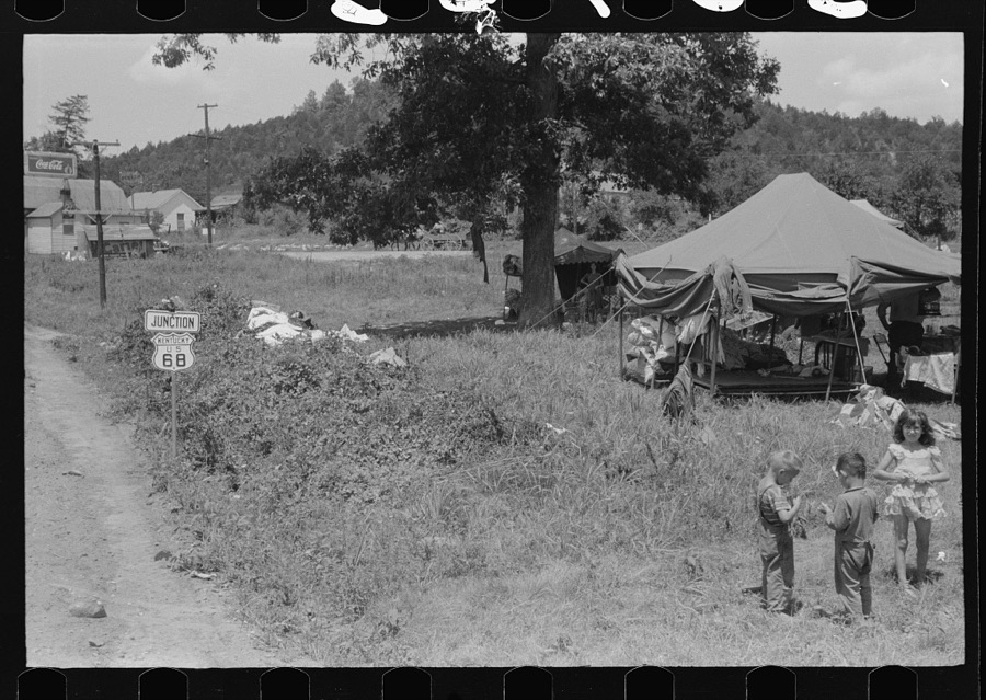
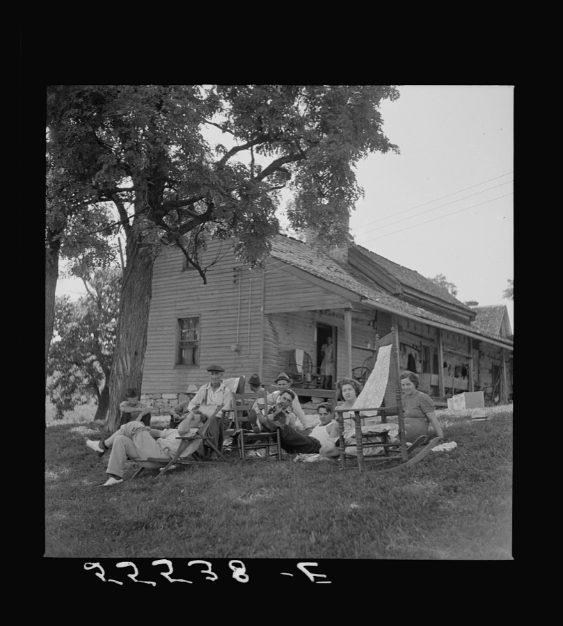
Every property in this county listed on the National Register of Historic Places, with the year it was listed and the federal nomination document.
| Photograph | Property | Type | Listed | Reference |
|---|---|---|---|---|
 | Confederate Monument in Lawrenceburg | object | 1997 | 97000716 |
 | R. H. Crossfield House | building | 1975 | 75000730 |
 | Dowling House | building | 1979 | 79000957 |
| Thomas H. Hanks House | building | 1980 | 80001478 | |
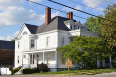 | Kavanaugh Academy | building | 1973 | 73000781 |
| Lawrenceburg Commercial Historic District | district | 1994 | 94000837 | |
 | Lexington Extension of the Louisville Southern Railroad | structure | 2004 | 04000789 |
 | McBrayer-Clark House | building | 1973 | 73000782 |
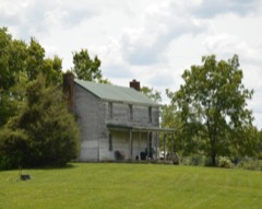 | Rev. William Dudley Moore House | building | 1979 | 79000958 |
 | Old Prentice Distillery | building | 1987 | 87000478 |
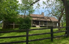 | Old Wash Place | building | 1975 | 75000731 |
 | T. B. Ripy House | building | 1980 | 80001479 |
Sampled issues, machine-read from the Library of Congress scan and published page by page, so every headline and column is searchable text.
Lawrenceburg, Ky., 190? to 19??. Machine-read from the Library of Congress scan.
Lawrenceburg, Ky., 18?? to Current. Machine-read from the Library of Congress scan.
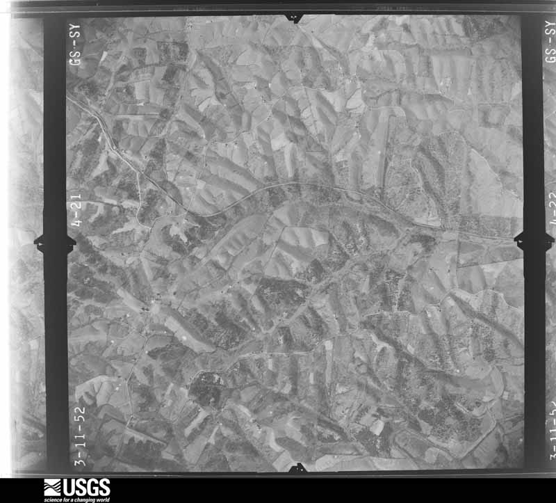
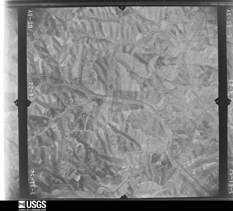
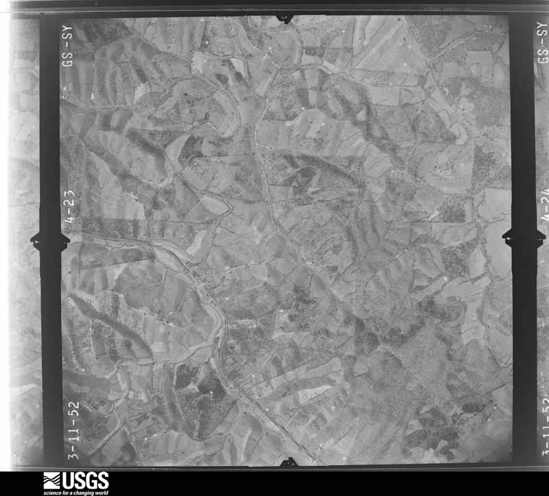
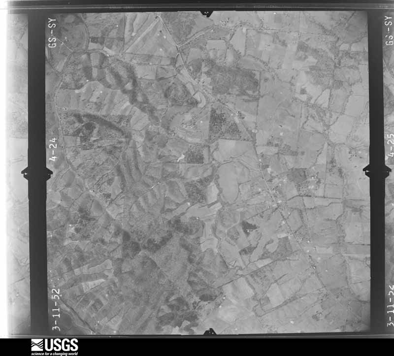
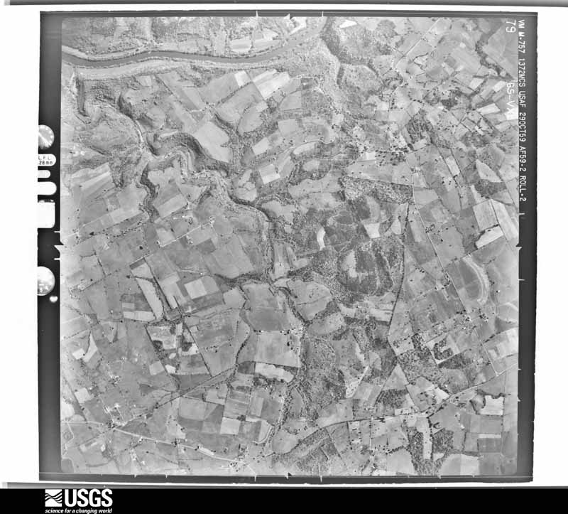
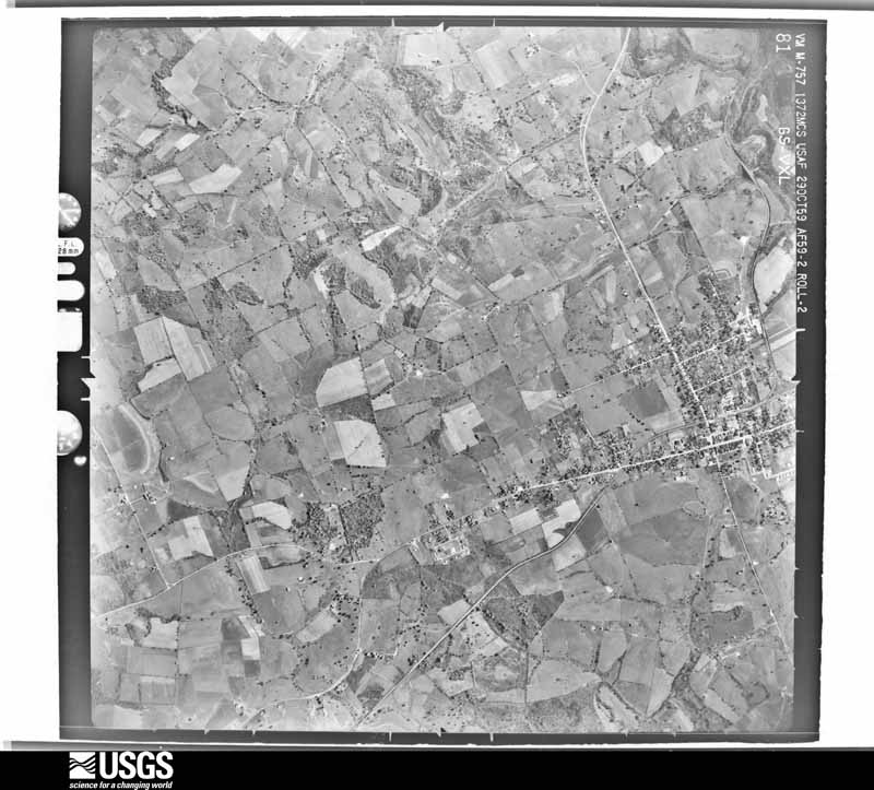
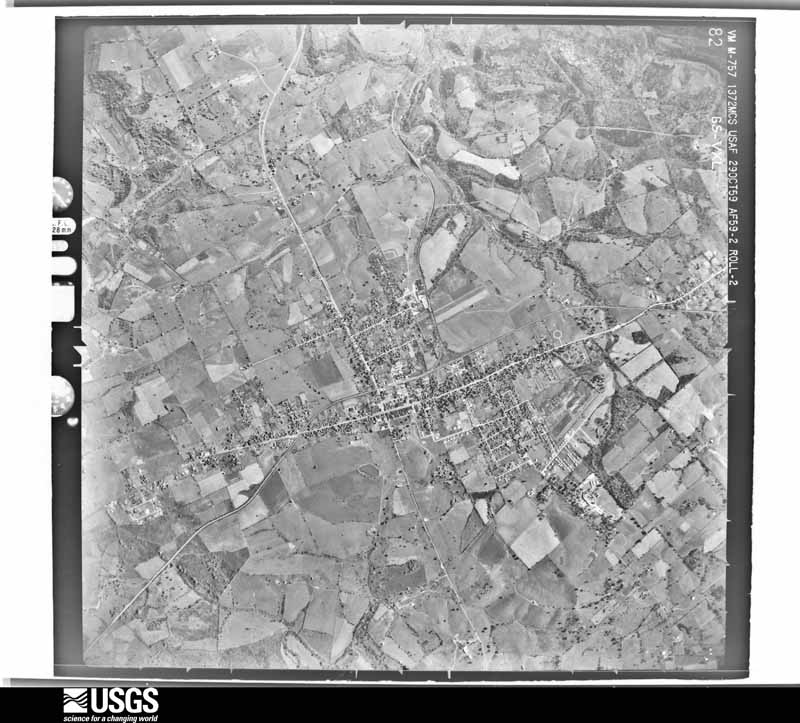
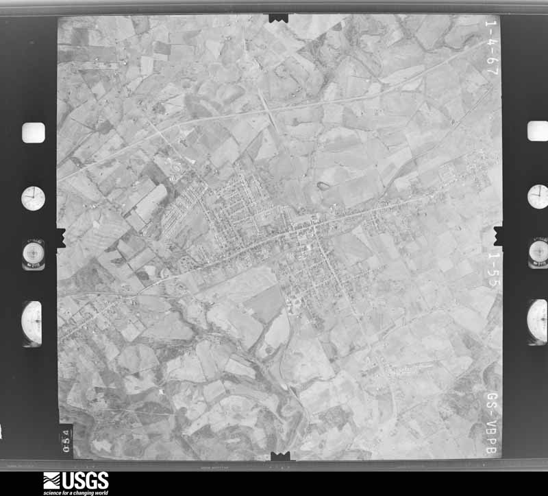
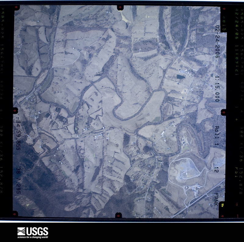
Flown by the U.S. Geological Survey between 1937 and 1989, the Aerial Photo Single Frames collection is the definitive mid-century view of the land: fields, roads and rivers as the camera saw them. The Survey holds 725 frames inside the rectangle that bounds this county; the 28 frames below were taken over the county itself, chosen across the decades of flights (at most four a year from that rectangle), so one flight cannot crowd out the rest. The full set is free to browse and download at EarthExplorer under the dataset Aerial Photo Single Frames.



















The thermometers that kept this county's weather, and the gages that measured the flow of its streams, as the federal records hold them. The extremes below are measured values from those records, not estimates.
Who lived here in 1950, one enumeration district at a time, as the Census Bureau described each district. Each row opens its official National Archives result, with Population Schedules and ED Maps available there.
Every wildfire the federal occurrence database records inside this county: 10 of them, burning about 158 acres. None started naturally and none was recorded as arson. Each settlement page carries the fires within five miles of it.
| Reported cause | Fires |
|---|---|
| Debris and open burning | 4 |
| Missing data/not specified/undetermined | 3 |
| Recreation and ceremony | 1 |
| Equipment and vehicle use | 1 |
| Railroad operations and maintenance | 1 |
The five largest, by the area the report gives. None of them was recorded as arson.
| Date | Cause | Size | Reported by | Name on the report |
|---|---|---|---|---|
| 24 March 2002 | Recreation and ceremony | 45 acres | Kentucky Division of Forestry | not named |
| 3 March 2006 | Missing data/not specified/undetermined | 38 acres | Kentucky Division of Forestry | not named |
| 28 February 2004 | Missing data/not specified/undetermined | 25 acres | Kentucky Division of Forestry | not named |
| 8 March 2002 | Debris and open burning | 15 acres | Kentucky Division of Forestry | not named |
| 8 February 2001 | Missing data/not specified/undetermined | 15 acres | Kentucky Division of Forestry | not named |
| 11 March 2001 | Debris and open burning | 6.0 acres | Kentucky Division of Forestry | not named |
| 16 April 2001 | Railroad operations and maintenance | 6.0 acres | Kentucky Division of Forestry | not named |
| 16 September 2007 | Equipment and vehicle use | 4.0 acres | Kentucky Division of Forestry | not named |
Every settlement page carries the fires within five miles of it - see the settlement index below.
The NOAA Storm Events Database holds 197 reports for this county, causing no deaths, 13 injuries and about $5,928,750 in recorded property damage. Each settlement page carries the reports that name it.
| Kind of event | Reports |
|---|---|
| Thunderstorm Wind | 112 |
| Hail | 42 |
| Flash Flood | 22 |
| Flood | 10 |
| Tornado | 9 |
| Lightning | 2 |
The most serious of them, by death, then injury, then recorded damage. The accounts are quoted exactly as the forecast office filed them.
| When | Event | Place named | Harm | What the report says |
|---|---|---|---|---|
| November 1965 | Tornado (F2) | not stated | 8 hurt, $2,500,000 | no account filed |
| March 1974 | Tornado (F2) | not stated | 2 hurt, $250,000 | no account filed |
| May 1990 | Thunderstorm Wind | not stated | 2 hurt | no account filed |
| May 1996 | Tornado (F2) | Fox Creek | 1 hurt, $1,000,000 | no account filed |
| February 1993 | Thunderstorm Wind | not stated | $500,000 | Several tobacco barns were destroyed and trees were uprooted in the eastern part of the county. |
| May 1993 | Hail | not stated | $500,000 | Trees and power lines were blown down throughout the county. Some of the worst damaged was done in Lawrenceburg. Windows were blown out of some homes and several outbuildings were destroyed. Some cars were damaged by falling trees. |
| May 1993 | Thunderstorm Wind | not stated | $500,000 | Trees and power lines were blown down throughout the county. Some of the worst damaged was done in Lawrenceburg. Windows were blown out of some homes and several outbuildings were destroyed. Some cars were damaged by falling trees. |
| May 2010 | Flood | Ninevah | $100,000 | Six to seven inches of rain fell over Anderson county from May 1-2. This caused major flooding on the Kentucky River that lasted many days before receding. |
| February 2008 | Thunderstorm Wind | Lawrenceburg | $100,000 | Thunderstorm winds collapsed barns. Vehicles in the barns were damaged. Trees were downed. |
| April 2008 | Flash Flood | Alton Station | $100,000 | Six homes had water under the floor. Two homes had water on the main floor. One water rescue was conducted with no injuries. |
| August 2003 | Thunderstorm Wind | Lawrenceburg | $75,000 | A barn was destroyed, and roofs were blown off several outbuildings. Tobacco crops were damaged all across the county. |
| June 2015 | Thunderstorm Wind | Alton | $50,000 | The Anderson County Emergency Manager reported that straight-line winds caused a roof to be blown off of a daycare facility. Also, there was structural damage to another nearby business reported. |
| April 2007 | Thunderstorm Wind | Lawrenceburg | $50,000 | Several trees were downed across the county, including one blocking the intersection of Highway 44 and Anderson City Road. A building under construction in Lawrenceburg was damaged. |
| April 2015 | Flash Flood | Lawrenceburg | $30,000 | Emergency Management reported several roads closed due to high water across the county. Also, numerous water rescues occurred due to the excessive rainfall. Between 5 and 6 inches of rain fell across the county. |
| August 2013 | Flash Flood | Ashbrook | $30,000 | Heavy rains of up to 5 inches brought flooding to the intersection of Puncheon Creek Road and State Highway 53. Nearby, a house and a church were flooded. An overpass on State Highway 53 was damaged by flooding. |
| July 2016 | Thunderstorm Wind | Glensboro | $25,000 | Trained spotters reported tree damage to a structure. |
| April 2000 | Thunderstorm Wind | Lawrenceburg | $25,000 | A tobacco barn was blown down on Bethel Road. |
| June 1977 | Tornado (F1) | not stated | $25,000 | no account filed |
| December 2015 | Flood | Fox Creek | $20,000 | Anderson County law enforcement reported a high water rescue to the NWS. Between 1 and 3 inches of rain fell in a short period of time due to a line of severe thunderstorms. |
| July 2018 | Thunderstorm Wind | Alton Station | $15,000 | A tree blew down on a car with people inside of it. Many other trees were down in the area. |
| June 2015 | Thunderstorm Wind | Lawrenceburg | $10,000 | The Anderson County Emergency Manager reported that a fireworks tent was damaged and that a nearby steel pole was blown over. |
| May 1996 | Lightning | Tyrone | $10,000 | no account filed |
| June 2008 | Thunderstorm Wind | Lawrenceburg | $5,000 | Trees blown down along with outdoor furniture and a mailbox. |
| June 1987 | Tornado (F0) | not stated | $2,500 | no account filed |
| July 2021 | Lightning | Lawrenceburg | $2,000 | A power pole was on fire after being struck by lightning. |
| July 2015 | Thunderstorm Wind | Nevin | $2,000 | A trained spotter reported that multiple trees fell down, including one that damaged a vehicle. |
| January 2006 | Thunderstorm Wind | Lawrenceburg | $2,000 | Several trees were downed. Thunderstorm winds also damaged the roof on a barn. |
| April 1974 | Tornado (F4) | not stated | $250 | no account filed |
| May 2025 | Hail | Johnsonville | - | Quarter sized hail was observed along Kentucky Route 248 in western Anderson County. |
| February 2025 | Flash Flood | Lawrenceburg | - | Hammond Creek overflowed onto Mustang Trail and North Main Street in Lawrenceburg. The road was closed and barricades were put up. |
| April 2025 | Flash Flood | Ninevah | - | There was a water rescue at an unknown location. |
| April 2024 | Tornado (EF1) | Sinai | - | The National Weather Service conducted a storm damage assessment survey in Anderson County from the storms mid morning, April 2. The tornado touched down in far southwest Anderson county just off Mays Road (just west of KY 53) snapping and twisting some trees. Winds speeds were around 75 mph with a width of 50 yards.|The tornado increased in speed to EF1, 95 mph along Willisburg Road (KY 53). ||A well built home had extensive roof damage, 2 barns lost large sections of their roofs. Insulation and metal sheeting from the barns were thrown up to 300 yards to the east and southerly direction. The resident was in his basement, and heard the roar and had his ear pop from the low pressure. The width increased to 100 yards. ||The tornado continued moving to the east southeast damaging more trees on Baxter Ridge Road. One house had shingle, soffit and gutter damage. Winds speeds were EF0, 85 mph with a width of 150 yards. Drone photography was used to find the ending point in a grove of trees, halfway between Baxter Ridge Road and Puncheon Creek Road. Drone photography found a few topped and uprooted trees. Winds speeds were around EF0, 75 mph, with a width of 50 yards. |
| May 2024 | Thunderstorm Wind | Lawrenceburg | - | Trees were downed and large branches were broken along Woodford Street in Lawrenceburg. Power lines were also downed as a result of storm debris. |
| May 2024 | Thunderstorm Wind | Tyrone | - | Large tree limbs were brought down by strong winds in Tyrone. |
| May 2024 | Thunderstorm Wind | Klondyke | - | Trees were brought down by strong winds across Aaron Barnett Road in western Anderson County. The fallen trees fell around a vehicle traveling on the road, resulting in the motorist being temporarily trapped and unable to proceed along the road in either direction. |
| August 2024 | Thunderstorm Wind | Mc Brayer | - | Trees blew down along Gilberts Creek Road. |
| April 2023 | Thunderstorm Wind | Lawrenceburg | - | A power line was down on South Main Street near Lawrenceburg Cemetery. |
| April 2023 | Thunderstorm Wind | Alton | - | A power pole fell down along North Main Street at Ninevah Road. |
| May 2023 | Hail | Lawrenceburg | - | Quarter sized hail was reported in Lawrenceburg. |
| June 2023 | Hail | Avenstoke | - | Hail up to ping pong ball size was observed in northwestern Anderson County. |
| June 2023 | Thunderstorm Wind | Alton | - | Tree and fence damage occurred at several locations across the north side of Lawrenceburg. |
| July 2023 | Tornado (EF1) | Gudgel | - | Severe storms developed west of Lawrenceburg in two waves. One produced |straight line winds as a squall line and moved from west to east into downtown|Lawrenceburg where it caused multiple trees to fall, likely with winds of |80-90 mph. Additionally, a brick building downtown that had been previously |damaged from the March 3rd event suffered additional damage to the brickwork.||The other was a storm that developed just south of that line and caused a |tornado to drop along Highway 44 west of Lawrenceburg starting in the 2200 |block where several large trees had fallen along the road but had been cleaned |up by the time the survey occurred. There was significant tree damage along |McDonald Road paralleling Highway 44. The most significant damage occurred|around a square home with pyramid shaped roof. Trees fell without hitting the |home, but fell in multiple directions. No shingles were damaged, but that may |be due to the steepness of the roof. The survey continued ENE with tree |damage on both McDonald and Highway 44 from the 2200 block all they way |to the 1600 block. At the latter location, a barndominium suffered partial roof |damage. Part of the metal roof was torn in one slab and thrown to the east of |the property. The property owner witnessed a circulation approaching and took |shelter in an open garage whose closed doors were blown outwards. At this |point the tornado appeared to lift, but additional damage was reported just |downstream, along Hammonds Creek Rd, where several trees on a property |were uprooted or snapped. The tornado appeared to lift beyond this point and |merge with the main line heading towards Lawrenceburg. |
| July 2023 | Thunderstorm Wind | Tyrone | - | A tree was blown down near Wildcat Road. |
| July 2023 | Thunderstorm Wind | Mc Brayer | - | A tree was blown down near Harrodsburg Road. |
| July 2023 | Thunderstorm Wind | Lawrenceburg | - | A tree was blown down along South Main Street in Lawrenceburg. |
| August 2023 | Thunderstorm Wind | Mc Brayer | - | There was a tree down on Johnson Road. |
| August 2023 | Thunderstorm Wind | Klondyke | - | A tree fell down on Ashby Road. |
| August 2022 | Flash Flood | Tyrone | - | A private bridge, made out of gravel, and culverts were washed away in eastern Anderson County. The exact location is not known. |
| June 2022 | Thunderstorm Wind | Lawrenceburg | - | Trees were down on US 62. |
| June 2022 | Thunderstorm Wind | Tyrone | - | Trees were down. |
| June 2022 | Thunderstorm Wind | Lawrenceburg | - | Trees, power lines, and telephone lines were down. |
| July 2021 | Hail | Lawrenceburg | - | Pea to Quarter sized hail was reported in Lawrenceburg. |
| July 2021 | Thunderstorm Wind | Lawrenceburg | - | A power line was down on Woodford Street near the police station. |
| July 2021 | Thunderstorm Wind | Lawrenceburg | - | A power line was down on Vail Drive. |
| July 2021 | Thunderstorm Wind | Lawrenceburg | - | A tree was blocking one lane of Carlton Drive at Djeddah. |
| June 2021 | Thunderstorm Wind | Lawrenceburg | - | A video on social media shows trees that fell down on power lines. The power lines were sparking. |
| August 2018 | Thunderstorm Wind | Alton | - | One tree was reported down by law enforcement. |
| June 2018 | Thunderstorm Wind | Mc Brayer | - | There was a 58 mph measured wind gust on the Bluegrass Parkway. Calibrated equipment was used. |
| February 2018 | Flood | Avenstoke | - | The public reported water over the roadway on Benson Creek Road. |
| May 2018 | Thunderstorm Wind | Alton | - | Downed tree limbs fell on several utility lines. |
The Survey's mineral resources record lists 3 workings inside this county. 1 still produces and 2 are closed or unrecorded. Each settlement page carries the workings within five miles of it.
| Commodity | Workings |
|---|---|
| Stone, Crushed/Broken | 1 |
| Lead | 1 |
| Zinc | 1 |
| Fluorine-Fluorite | 1 |
The least common of them first, because a county's hundredth gravel pit says nothing its first ten did not.
| Where | Site | Commodity | Status | Recorded |
|---|---|---|---|---|
| L.Z.Bond Deposit | Lead, Zinc | Occurrence | ||
| Memphis Prospect Area Prospect No.1 | Fluorine-Fluorite | Occurrence | ||
| Tyrone Mine | Stone, Crushed/Broken | Producer |
Named settlements recorded in the Geographic Names Information System, each with the topographic sheets covering it. Villages, hamlets and abandoned places alike. Each is shown with the nearest named watercourse or landform and the survey quadrangle it falls on. The 1 place that was also surveyed for fire insurance comes first, with the number of atlases and photographs held for them.
Lawrenceburg census division · 40342 · Alton Station quadrangle
14 sheets, 1922 to 1986
Fire insurance: 7 atlases
Northwest Anderson census division · 40342 · Alton Station quadrangle
14 sheets, 1922 to 1986
Northwest Anderson census division · 40342 · On Indian Creek · Glensboro quadrangle
9 sheets, 1923 to 1986
Southwest Anderson census division · 40342 · On Tucker Branch · Ashbrook quadrangle
9 sheets, 1952 to 1981
Southwest Anderson census division · 40342 · Near Baxter Ridge · McBrayer quadrangle
11 sheets, 1905 to 1991
Southwest Anderson census division · 40342 · On Goose Branch · Ashbrook quadrangle
9 sheets, 1952 to 1981
Southwest Anderson census division · 40342 · On Fox Creek · McBrayer quadrangle
11 sheets, 1905 to 1991
Northwest Anderson census division · 40342 · Near Mudlick Hollow · Glensboro quadrangle
9 sheets, 1923 to 1986
Northwest Anderson census division · 40342 · On Timber Creek · Glensboro quadrangle
9 sheets, 1923 to 1986
Southwest Anderson census division · 40342 · On Goose Branch · McBrayer quadrangle
11 sheets, 1905 to 1991
Lawrenceburg census division · 40372 · On Clay Lick Creek · Salvisa quadrangle
12 sheets, 1905 to 1991
No longer a settlement
Southwest Anderson census division · 40342 · Near Pleasant Hill Ridge · Ashbrook quadrangle
9 sheets, 1952 to 1981
No longer a settlement
Southwest Anderson census division · 40342 · On Little Beaver Creek · Ashbrook quadrangle
9 sheets, 1952 to 1981
Southwest Anderson census division · 40342 · On Little Beaver Creek · Ashbrook quadrangle
9 sheets, 1952 to 1981
Lawrenceburg census division · 40342 · Near The Mound · McBrayer quadrangle
11 sheets, 1905 to 1991
Lawrenceburg census division · 40342 · On Buchanan Creek · McBrayer quadrangle
11 sheets, 1905 to 1991
Lawrenceburg census division · 40342 · By Lovers Leap · Alton Station quadrangle
14 sheets, 1922 to 1986
Northwest Anderson census division · 40046 · On Pleasant Grove Ridge · Glensboro quadrangle
9 sheets, 1923 to 1986
No longer a settlement
Lawrenceburg census division · 40342 · Near The Mound · McBrayer quadrangle
11 sheets, 1905 to 1991
No longer a settlement
Southwest Anderson census division · 40342 · On Bear Creek · Ashbrook quadrangle
9 sheets, 1952 to 1981
Southwest Anderson census division · 40012 · Near Love Ridge · Chaplin quadrangle
9 sheets, 1952 to 1981
Lawrenceburg census division · 40342 · On Bailey Run · Tyrone quadrangle
11 sheets, 1922 to 1986
Northwest Anderson census division · 40046 · On Crooked Creek · Chaplin quadrangle
9 sheets, 1952 to 1981
Northwest Anderson census division · 40342 · On East Prong Crooked Creek · Glensboro quadrangle
9 sheets, 1923 to 1986
The vanished settlements of Anderson County: the places named above that are no longer on the map.
14 topographic sheets and 7 fire insurance atlases, 1886 to 1942