 Block
Lawrenceburg, Kentucky
14 topographic sheets cover this place, the earliest surveyed in 1922 and the latest in 1986. It stands in the Lawrenceburg census division. It lies in ZIP code area 40342. The Survey maps it on the Alton Station quadrangle. 11,728 people lived here at the 2020 count. It stands 787 feet above sea level.
Research this city
On record in Lawrenceburg
Buildings and businesses the archive holds for this place. Each opens its own page, with the source record it came from.
On the National Register 12 records
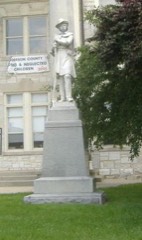 Confederate Monument in Lawrenceburglisted 1997
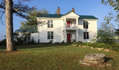 R. H. Crossfield Houselisted 1975
 Dowling Houselisted 1979
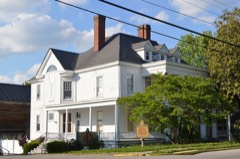 Kavanaugh Academylisted 1973
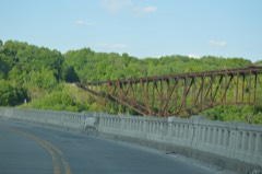 Lexington Extension of the Louisville Southern Railroadlisted 2004
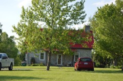 McBrayer-Clark Houselisted 1973
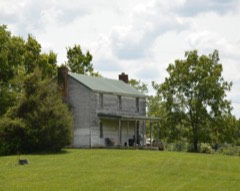 Rev. William Dudley Moore Houselisted 1979
 Old Prentice Distillerylisted 1987
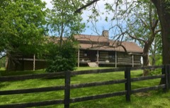 Old Wash Placelisted 1975
 T. B. Ripy Houselisted 1980
- Thomas H. Hanks Houselisted 1980
- Lawrenceburg Commercial Historic Districtlisted 1994
Population over time
2 figuresLawrenceburg grew from 10,505 to 11,728 between 2010 and 2020. These are the recorded population figures Wikidata holds for this place, reached through the Geographic Names Information System number this page is keyed on rather than by name, so they belong to this place and not to another of the same name. Most are census counts, but not all are: an early figure may be a founding or settlement estimate, and an estimate published within five years of a census is left out. The change column is computed, and is left blank where more than 20 years separate a figure from the one before it, because a gap that long is not a change between two counts.
| Year | People | Change |
|---|---|---|
| 2010 | 10,505 | |
| 2020 | 11,728 | +1,223 (+12%) |
Topographic sheets covering this place
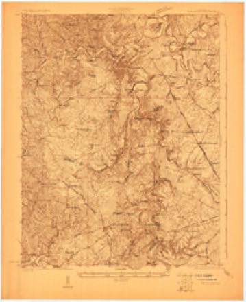
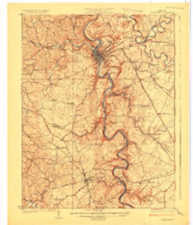
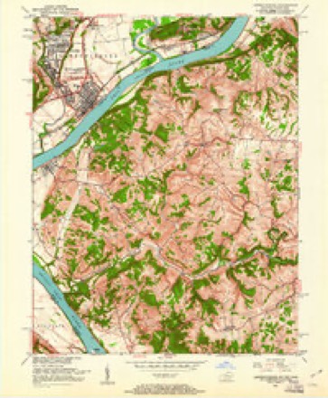
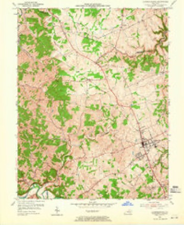
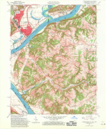
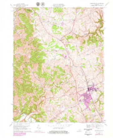
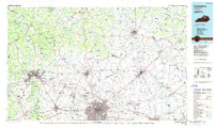
9 surveys from 14 printed sheetsMatched by testing this settlement's coordinate against the published boundary of every sheet in the United States Geological Survey's historical collection. Each opens the scanned sheet at the Survey.
- 1922 USGS Frankfort quadrangle1:48000
- 1924 USGS Frankfort quadrangle1:62500, 2 printings
- 1951 USGS Lawrenceburg quadrangle1:24000
- 1954 USGS Lawrenceburg quadrangle1:24000, 2 printings
- 1956 USGS Louisville quadrangle1:250000, 2 printings
- 1961 USGS Lawrenceburg quadrangle1:24000
- 1964 USGS Louisville quadrangle1:250000
- 1967 USGS Lawrenceburg quadrangle1:24000, 3 printings
- 1986 USGS Lexington quadrangle1:100000


Photographs
8 of 15 photographs shown, 1940Taken for the Office of War Information and the Farm Security Administration, who photographed the country between 1935 and 1944. Works of United States government photographers, with no known restriction on use. Each opens its catalogue record.
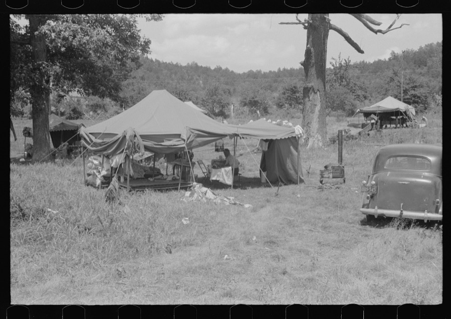
Wolcott, Marion Post, 1940. Library of Congress
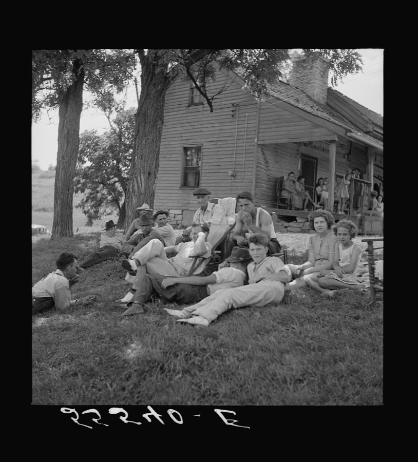
Wolcott, Marion Post, 1940. Library of Congress
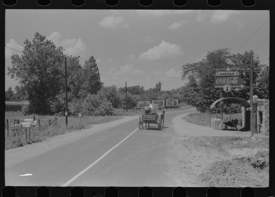
Wolcott, Marion Post, 1940. Library of Congress
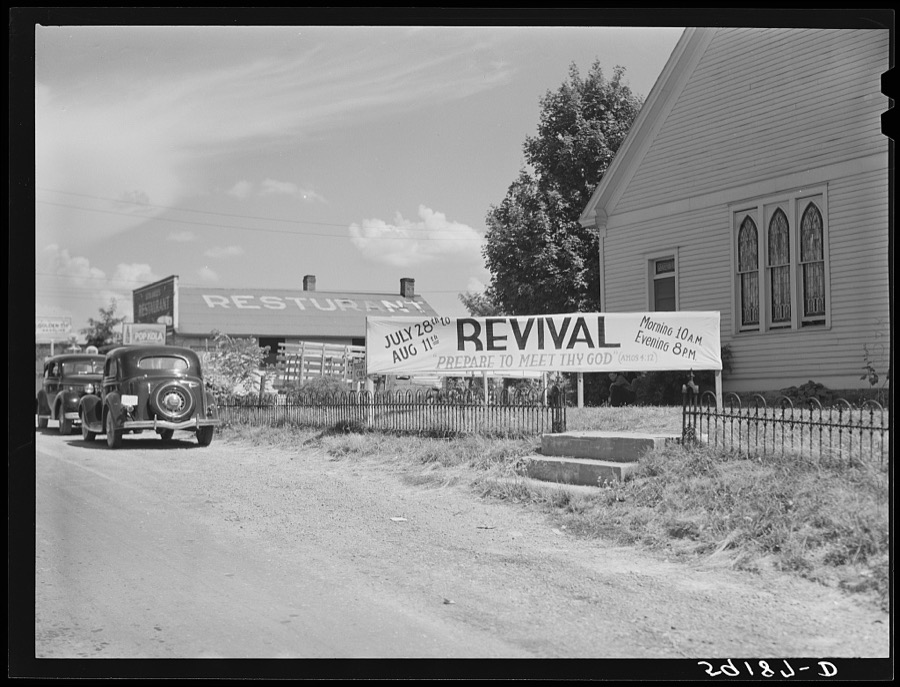
Wolcott, Marion Post, 1940. Library of Congress
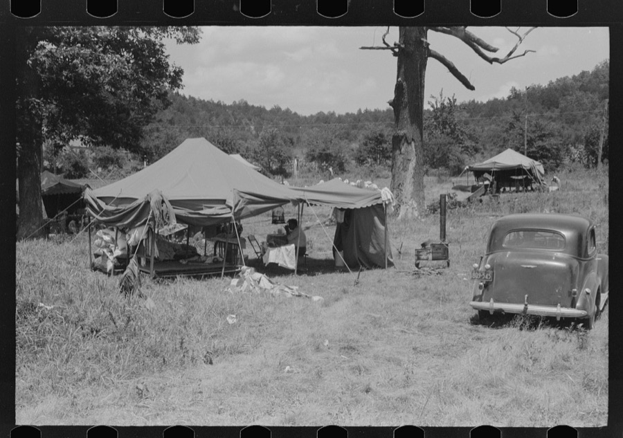
Wolcott, Marion Post, 1940. Library of Congress
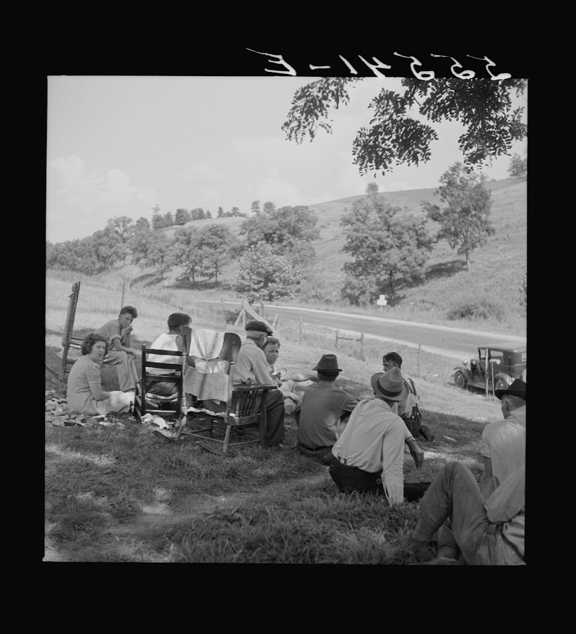
Wolcott, Marion Post, 1940. Library of Congress
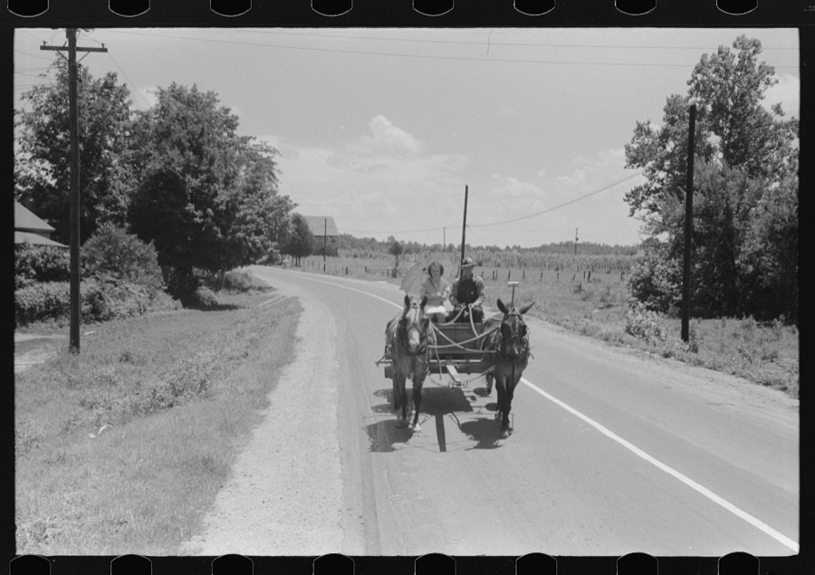
Wolcott, Marion Post, 1940. Library of Congress
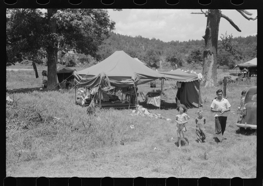
Wolcott, Marion Post, 1940. Library of Congress
Every photograph of Anderson County
Fires near this place
3 since 2006Regional context, not property-specific evidence. The federal wildfire occurrence database lists 3 fires within 5 miles of Lawrenceburg between 2006 and 2010, burning about 42 acres in total. None started naturally. None was recorded as arson. Distance is straight-line from the map coordinates, so a fire counted here may appear on a neighbouring settlement's page as well.
| Reported cause | Fires |
|---|---|
| Debris and open burning | 2 |
| Missing data/not specified/undetermined | 1 |
The most recent of them, most recent first, with the day each was reported and the service that recorded it.
| Date | Cause | Size | Reported by | Name on the report |
|---|---|---|---|---|
| 3 March 2006 | Missing data/not specified/undetermined | 38 acres | Kentucky Division of Forestry | not named |
| 4 November 2008 | Debris and open burning | 2.0 acres | Kentucky Division of Forestry | not named |
| 13 November 2010 | Debris and open burning | 2.0 acres | Kentucky Division of Forestry | LOVERS LEAP |
Settlements close enough to share some of these fires:
Mines and quarries near this place
2 within 5 milesRegional context, not property-specific evidence. The federal mineral resources record lists 2 workings within 5 miles of Lawrenceburg: 1 producer, 1 occurrence. 1 still produces. What was taken out: Stone, Crushed/Broken, Lead, Zinc. Distance is straight-line from the map coordinates, so a quarry counted here may appear on a neighbouring settlement's page as well.
| Where | Site | Commodity | Status | Recorded |
|---|---|---|---|---|
| L.Z.Bond Deposit | Lead, Zinc | Occurrence | ||
| Tyrone Mine | Stone, Crushed/Broken | Producer |
Storms near this place
60 of 66 shownRegional context, not property-specific evidence. The National Weather Service names Lawrenceburg in 66 storm reports between 1996 and 2025: 40 thunderstorm wind, 19 hail, 5 flash flood, 1 flood. No death or injury is recorded in these reports. Each account below is quoted exactly as the forecast office filed it, from the NOAA Storm Events Database, and each date opens the federal record of that event.
| When | Event | Place named | Harm | What the report says |
|---|---|---|---|---|
| February 2008 | Thunderstorm Wind | Lawrenceburg | $100,000 | Thunderstorm winds collapsed barns. Vehicles in the barns were damaged. Trees were downed. |
| August 2003 | Thunderstorm Wind | Lawrenceburg | $75,000 | A barn was destroyed, and roofs were blown off several outbuildings. Tobacco crops were damaged all across the county. |
| April 2007 | Thunderstorm Wind | Lawrenceburg | $50,000 | Several trees were downed across the county, including one blocking the intersection of Highway 44 and Anderson City Road. A building under construction in Lawrenceburg was damaged. |
| April 2015 | Flash Flood | Lawrenceburg | $30,000 | Emergency Management reported several roads closed due to high water across the county. Also, numerous water rescues occurred due to the excessive rainfall. Between 5 and 6 inches of rain fell across the county. |
| April 2000 | Thunderstorm Wind | Lawrenceburg | $25,000 | A tobacco barn was blown down on Bethel Road. |
| June 2015 | Thunderstorm Wind | Lawrenceburg | $10,000 | The Anderson County Emergency Manager reported that a fireworks tent was damaged and that a nearby steel pole was blown over. |
| June 2008 | Thunderstorm Wind | Lawrenceburg | $5,000 | Trees blown down along with outdoor furniture and a mailbox. |
| July 2021 | Lightning | Lawrenceburg | $2,000 | A power pole was on fire after being struck by lightning. |
| January 2006 | Thunderstorm Wind | Lawrenceburg | $2,000 | Several trees were downed. Thunderstorm winds also damaged the roof on a barn. |
| February 2025 | Flash Flood | Lawrenceburg | - | Hammond Creek overflowed onto Mustang Trail and North Main Street in Lawrenceburg. The road was closed and barricades were put up. |
| May 2024 | Thunderstorm Wind | Lawrenceburg | - | Trees were downed and large branches were broken along Woodford Street in Lawrenceburg. Power lines were also downed as a result of storm debris. |
| April 2023 | Thunderstorm Wind | Lawrenceburg | - | A power line was down on South Main Street near Lawrenceburg Cemetery. |
| May 2023 | Hail | Lawrenceburg | - | Quarter sized hail was reported in Lawrenceburg. |
| July 2023 | Thunderstorm Wind | Lawrenceburg | - | A tree was blown down along South Main Street in Lawrenceburg. |
| June 2022 | Thunderstorm Wind | Lawrenceburg | - | Trees were down on US 62. |
| June 2022 | Thunderstorm Wind | Lawrenceburg | - | Trees, power lines, and telephone lines were down. |
| July 2021 | Hail | Lawrenceburg | - | Pea to Quarter sized hail was reported in Lawrenceburg. |
| July 2021 | Thunderstorm Wind | Lawrenceburg | - | A power line was down on Woodford Street near the police station. |
| July 2021 | Thunderstorm Wind | Lawrenceburg | - | A power line was down on Vail Drive. |
| July 2021 | Thunderstorm Wind | Lawrenceburg | - | A tree was blocking one lane of Carlton Drive at Djeddah. |
| June 2021 | Thunderstorm Wind | Lawrenceburg | - | A video on social media shows trees that fell down on power lines. The power lines were sparking. |
| June 2017 | Thunderstorm Wind | Lawrenceburg | - | Trees were reported down in the area due to severe thunderstorm winds. |
| June 2017 | Flash Flood | Lawrenceburg | - | High water was flowing over Park Lane. |
| May 2016 | Hail | Lawrenceburg | - | A trained spotter reported hail 1 inch in diameter. |
| June 2015 | Thunderstorm Wind | Lawrenceburg | - | A law enforcement official reported trees down at Highway 127 and Bluegrass Parkway. |
| May 2015 | Thunderstorm Wind | Lawrenceburg | - | A law enforcement official reported trees down on Johnson Road. |
| July 2015 | Thunderstorm Wind | Lawrenceburg | - | An Anderson County law enforcement official reported trees down across roadways around the county as well as in the city of Lawrenceburg. |
| July 2013 | Hail | Lawrenceburg | - | One inch hail fell in Lawrenceburg. |
| December 2013 | Thunderstorm Wind | Lawrenceburg | - | The county road commission reported that several large trees were downed along with multiple power lines just east of Lawrenceburg along US 62 between Starhill Way and Lock Drive. |
| July 2012 | Thunderstorm Wind | Lawrenceburg | - | Several trees fell within Lawrenceburg. |
| July 2012 | Thunderstorm Wind | Lawrenceburg | - | A spotter overheard information about widespread wind damage in Lawrenceburg from multiple sources. A 35 foot maple tree was downed. A trampoline was thrown over a fence. Power outages were widespread. |
| July 2012 | Thunderstorm Wind | Lawrenceburg | - | A tree was toppled by thunderstorm winds just to the east of Lawrenceburg. |
| April 2011 | Thunderstorm Wind | Lawrenceburg | - | Media reported a tree down on power lines on Hwy. 44 at mile marker 7 in Anderson county. |
| November 2011 | Flood | Lawrenceburg | - | Local Emergency Management reported that Rice, Dry Dock, and Gilbert's Creek Roads were all closed by high water. |
| May 2011 | Flash Flood | Lawrenceburg | - | There was street flooding at the intersection of South Main St. and East Court St. in Lawrenceburg. |
| August 2011 | Thunderstorm Wind | Lawrenceburg | - | Local media reported that several trees were downed across southern Lawrenceburg. |
| May 2010 | Thunderstorm Wind | Lawrenceburg | - | A trained spotter reported several small trees down along with intense rain. The peak wind gust was estimated to be 60 mph. |
| January 2008 | Thunderstorm Wind | Lawrenceburg | - | Thunderstorm winds downed large tree limbs across roadways. |
| June 2008 | Thunderstorm Wind | Lawrenceburg | - | Trees down across the county. |
| June 2007 | Hail | Lawrenceburg | - | A 43 mph wind gust was also reported. |
| June 2007 | Hail | Lawrenceburg | - | Hail up to two inches deep was reported in some locations. |
| May 2006 | Thunderstorm Wind | Lawrenceburg | - | A tree was blown on to power lines causing a fire. The spotter estimated a 60 mph wind gust. |
| August 2006 | Thunderstorm Wind | Lawrenceburg | - | Trees were downed. |
| August 2006 | Thunderstorm Wind | Lawrenceburg | - | Trees were downed. |
| July 2004 | Flash Flood | Lawrenceburg | - | Hammond Creek Road was impassable for a time due to high water. |
| August 1997 | Hail | Lawrenceburg | - | Dime size hail reported. |
| May 2025 | Hail | Lawrenceburg | - | no account filed |
| May 2025 | Hail | Lawrenceburg | - | no account filed |
| May 2025 | Hail | Lawrenceburg | - | no account filed |
| February 2024 | Hail | Lawrenceburg | - | no account filed |
| May 2016 | Hail | Lawrenceburg | - | no account filed |
| April 2011 | Hail | Lawrenceburg | - | no account filed |
| June 2008 | Thunderstorm Wind | Lawrenceburg | - | no account filed |
| March 2006 | Thunderstorm Wind | Lawrenceburg | - | no account filed |
| April 2006 | Hail | Lawrenceburg | - | no account filed |
| June 2005 | Thunderstorm Wind | Lawrenceburg | - | no account filed |
| July 2005 | Thunderstorm Wind | Lawrenceburg | - | no account filed |
| May 2004 | Hail | Lawrenceburg | - | no account filed |
| March 2002 | Hail | Lawrenceburg | - | no account filed |
| August 2002 | Hail | Lawrenceburg | - | no account filed |
Newspapers printed here
9,918 digitised pages2 papers published in this town, digitised by the Library of Congress and free to read: 1,151 issues, 9,918 pages. Every page is searchable, so a name or a street can be looked for directly in what the town printed about itself at the time.
| Newspaper | Published |
|---|---|
| It | 190? to 19?? |
| The Anderson News | 18?? to Current |
What the paper printed
24,786 wordsFront pages of the local paper, read from the Library of Congress scans: 9 issues spread across its run from 1885 to 1929, 24,786 words in total. Each is reproduced on its own page, exactly as the recogniser returned it.
These pages read less well than anything else here, and the number is worth stating: about three words in four come through cleanly, against nine in ten for the building records. An 1896 broadsheet sets eight-point type in seven columns on microfilm, which is the hardest thing in this archive to read by machine. We tested our own recognisers against the Library's and they were not better, so the Library's text is what appears, with the wholly unreadable columns removed. Read it as a guide to what the paper covered, and follow the link to the scan before quoting anything.
| Issue | Paper | Length |
|---|---|---|
| 1902-11-27 | It | 1,393 words |
| 1902-12-18 | It | 1,042 words |
| 1903-01-22 | It | 1,017 words |
| 1903-02-19 | It | 907 words |
| 1885-08-06 | The Anderson News | 6,021 words |
| 1885-09-17 | The Anderson News | 2,531 words |
| 1885-10-22 | The Anderson News | 5,880 words |
| 1885-12-03 | The Anderson News | 2,708 words |
| 1929-12-26 | The Anderson News | 3,287 words |
Nearest settlements
The eight closest, with where each one stands in the county. Distances are straight-line, computed from the Geographic Names Information System coordinates.
| Map | Place | Distance | Sheets |
|---|---|---|---|
| Stringtown | 2.2 miles | 14 | |
| Sidney (historical) | 2.8 miles | 11 | |
| Tyrone | 3.2 miles | 11 | |
| Ninevah | 3.3 miles | 14 | |
| Alton Station | 3.7 miles | 14 | |
| Alton | 4.1 miles | 14 | |
| McBrayer | 4.3 miles | 11 | |
| Fox Creek | 5.1 miles | 11 |
Elsewhere
Matched on this settlement's Geographic Names Information System number rather than its name, so it cannot be a different place of the same name in another state.
| Wikipedia article on Lawrenceburg | An encyclopaedic summary. Its text is share-alike, so it is linked here rather than copied. |
| Wikidata item Q1065521 | The structured record the population and elevation above come from. Public domain (CC0). |
Provenance
This settlement is recorded in the Geographic Names Information System as feature 496081. The sheet list is computed by point-in-boundary test against the United States Geological Survey's historical topographic inventory. Both are works of the United States government and carry no copyright under 17 U.S.C. 105.
Wildfire. Short, Karen C. 2022. Spatial wildfire occurrence data for the United States, 1992-2020 [FPA_FOD_20221014]. 6th Edition. Fort Collins, CO: Forest Service Research Data Archive. https://doi.org/10.2737/RDS-2013-0009.6 Collected with United States Government funding and usable without additional permissions or fees.
Mines and quarries. USGS Mineral Resources Data System (MRDS) https://mrdata.usgs.gov/mrds/ A work of the United States government, no copyright under 17 U.S.C. 105.
Storms. NOAA National Centers for Environmental Information, Storm Events Database https://www.ncei.noaa.gov/stormevents/ A work of the United States government, no copyright under 17 U.S.C. 105. Narratives are quoted verbatim from the National Weather Service report and are not edited or summarised.