Block
From the record
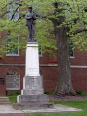
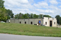
37 National Register listings published here.
Sources: the National Register database, National Park Service
82 topographic sheets and 14 fire insurance atlases across 2 places.
37 National Register listings published here.
Sources: the National Register database, National Park Service
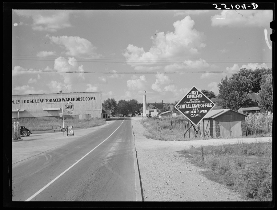
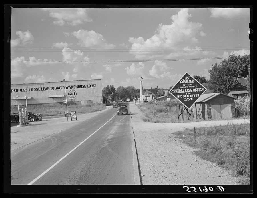
Taken for the Office of War Information and the Farm Security Administration, who photographed the country between 1935 and 1944. Works of United States government photographers, with no known restriction on use. Each opens its catalogue record.





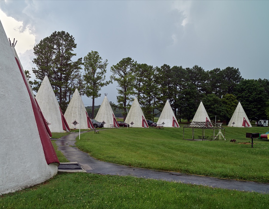
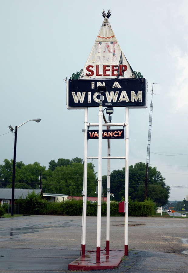

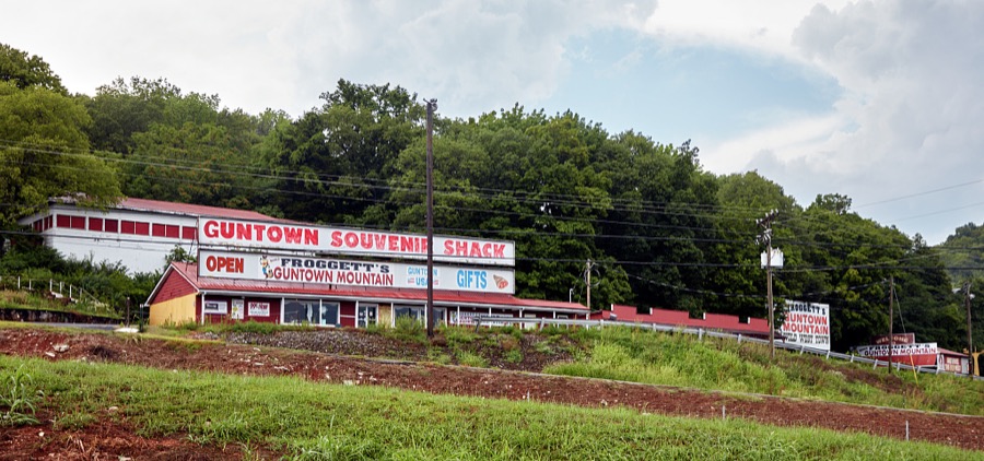

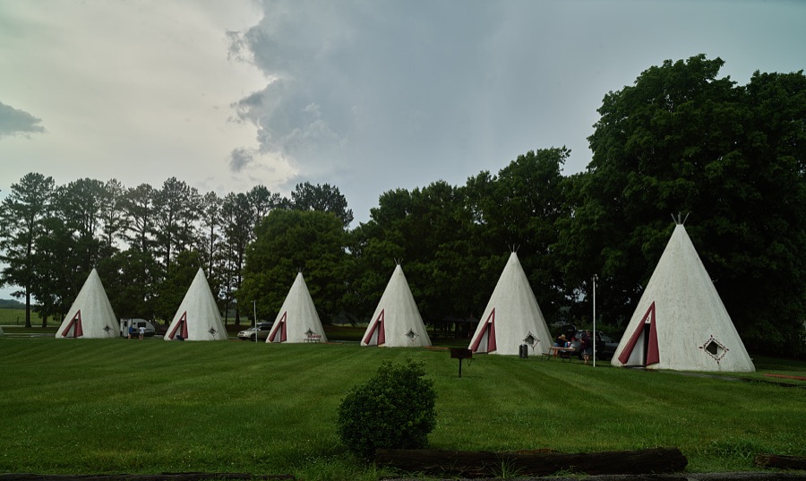


Every property in this county listed on the National Register of Historic Places, with the year it was listed and the federal nomination document.
Drawn when these were printed as single large sheets: the town seen from the air, and the county divided into its farms with every owner named. Each opens the original at the Library of Congress.
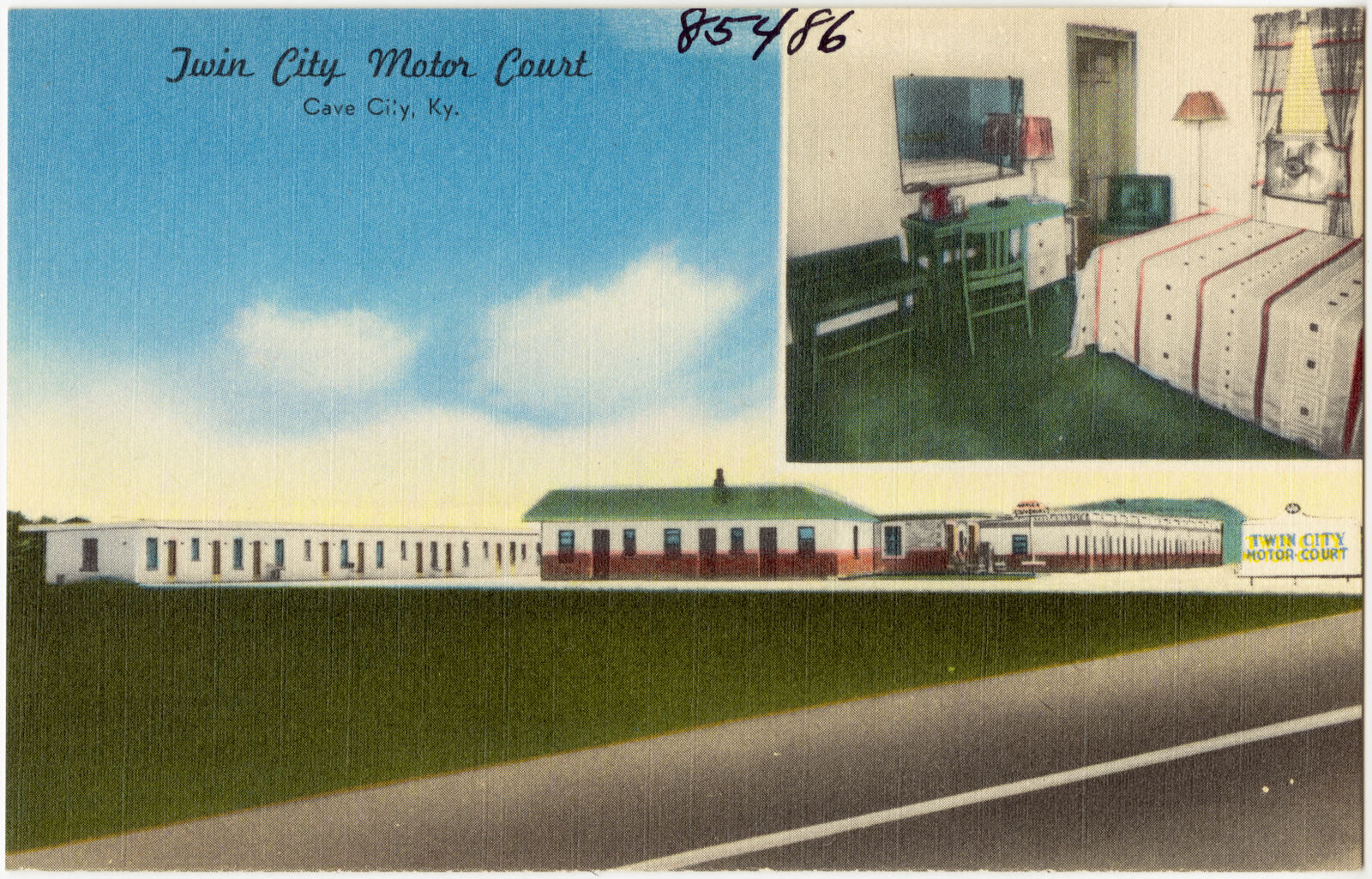
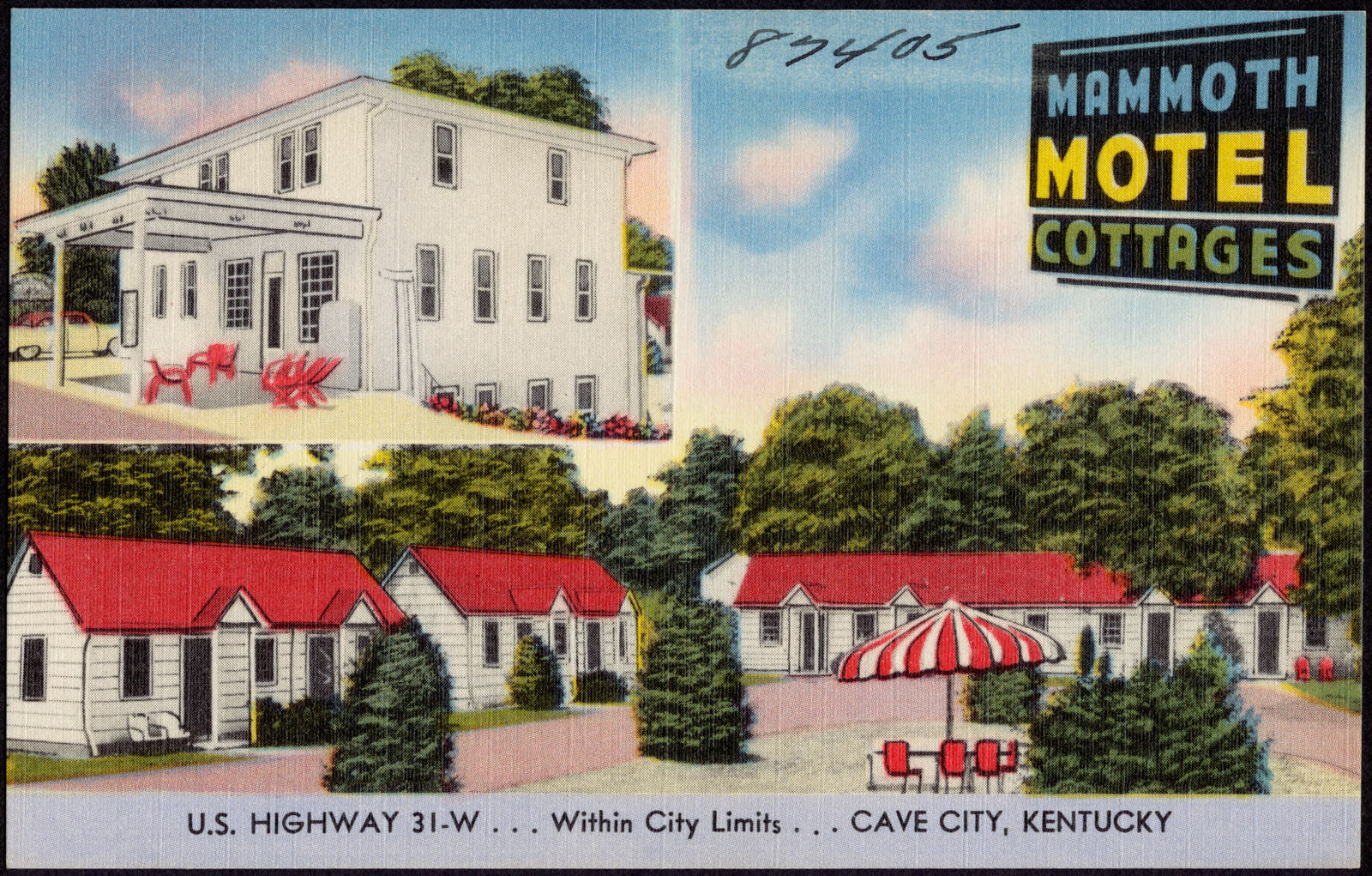
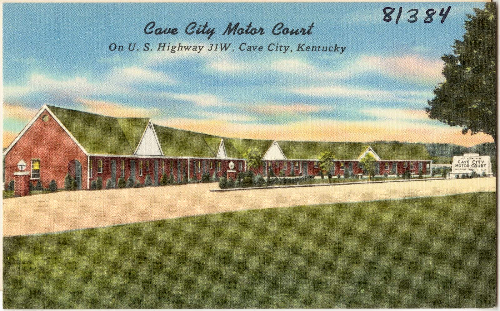
Selected from the Digital Public Library of America's 9 image records catalogued for this county. Every one shown here carries a public-domain status or a licence that permits reuse on a site that carries advertising; non-commercial, share-alike and restricted images are excluded. The selection is spread across the county's towns (at most eight per town), so no single institution's bulk upload crowds out the rest. Each opens the holding library's record, and the complete set at the Digital Public Library of America is one click away.
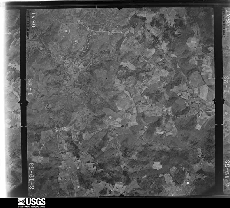
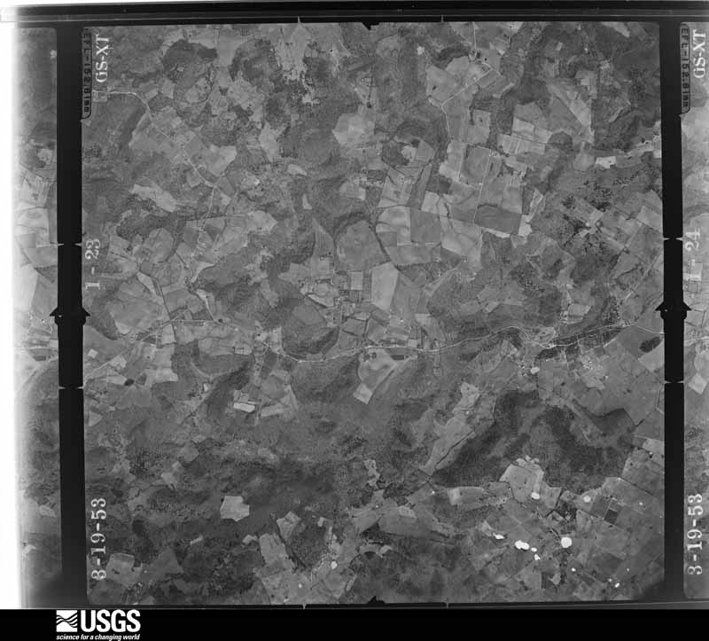
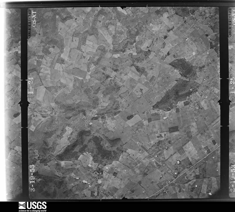
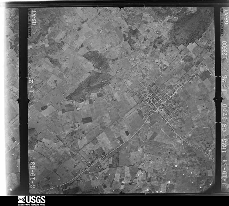
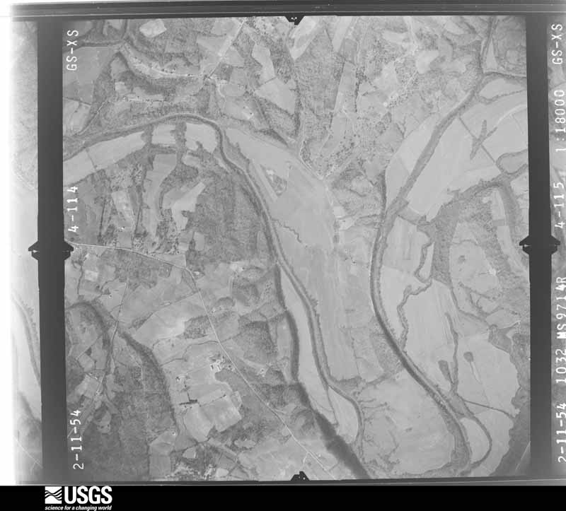
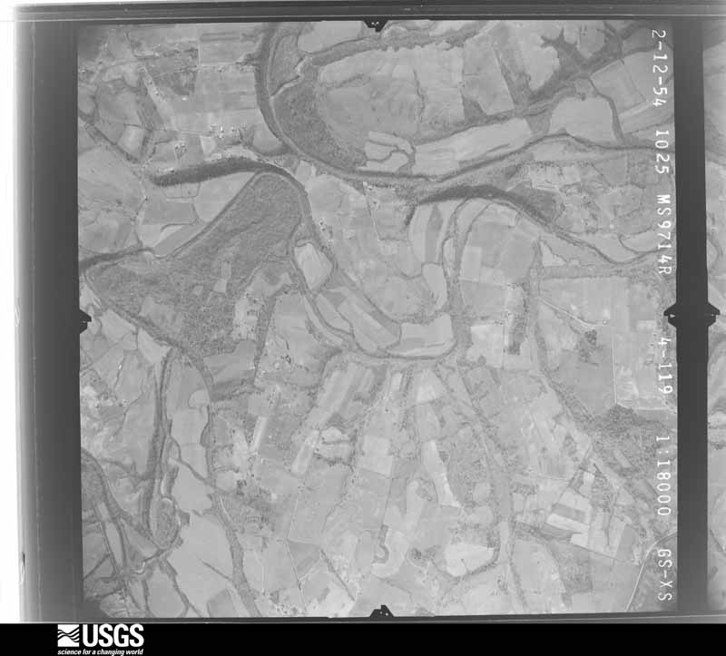
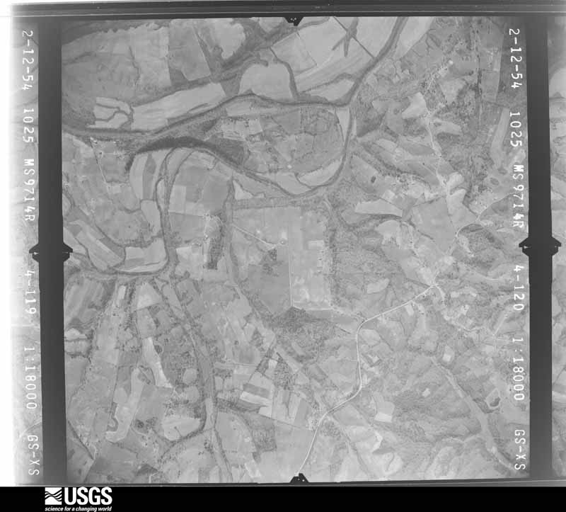
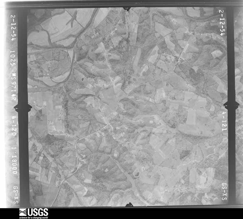
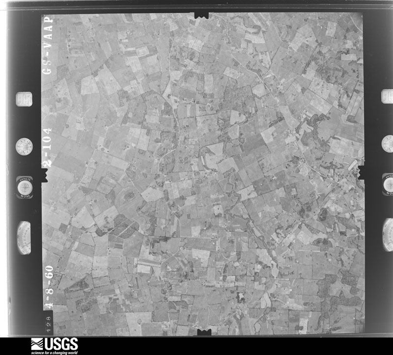
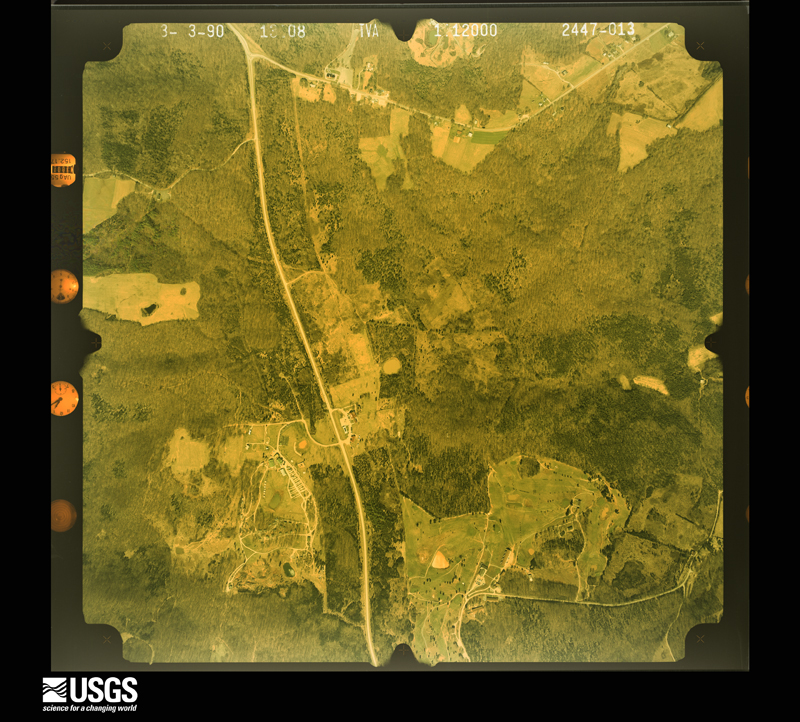
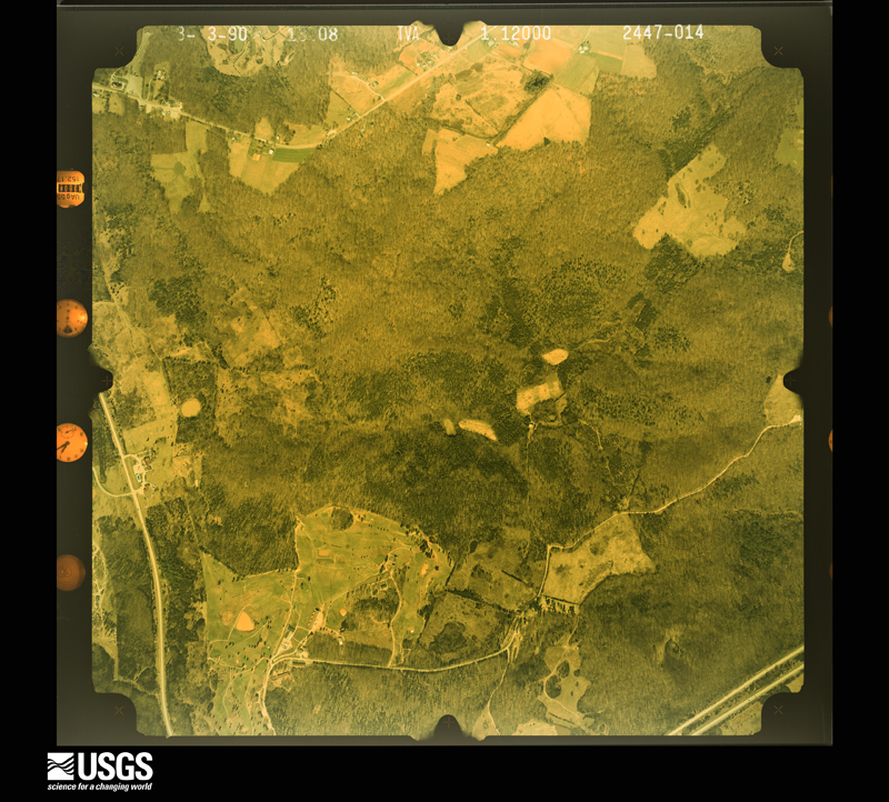
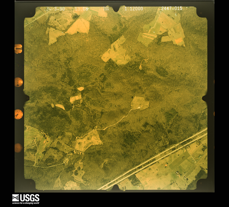
Flown by the U.S. Geological Survey between 1937 and 1989, the Aerial Photo Single Frames collection is the definitive mid-century view of the land: fields, roads and rivers as the camera saw them. The Survey holds 702 frames inside the rectangle that bounds this county; the 26 frames below were taken over the county itself, chosen across the decades of flights (at most four a year from that rectangle), so one flight cannot crowd out the rest. The full set is free to browse and download at EarthExplorer under the dataset Aerial Photo Single Frames.














The thermometers that kept this county's weather, and the gages that measured the flow of its streams, as the federal records hold them. The extremes below are measured values from those records, not estimates.
Who lived here in 1950, one enumeration district at a time, as the Census Bureau described each district. Each row opens its official National Archives result, with Population Schedules and ED Maps available there.
Every wildfire the federal occurrence database records inside this county: 25 of them, burning about 269 acres. None started naturally and 1 was recorded as arson. Each settlement page carries the fires within five miles of it.
| Reported cause | Fires |
|---|---|
| Recreation and ceremony | 7 |
| Missing data/not specified/undetermined | 6 |
| Debris and open burning | 5 |
| Equipment and vehicle use | 2 |
| Smoking | 2 |
| Railroad operations and maintenance | 2 |
| Arson/incendiarism | 1 |
The five largest, by the area the report gives. One of them was set deliberately.
| Date | Cause | Size | Reported by | Name on the report |
|---|---|---|---|---|
| 5 March 2000 | Debris and open burning | 38 acres | Kentucky Division of Forestry | not named |
| 1 December 2003 | Missing data/not specified/undetermined | 35 acres | Kentucky Division of Forestry | not named |
| 25 September 2008 | Railroad operations and maintenance | 29 acres | Kentucky Division of Forestry | not named |
| 9 September 1999 | Arson/incendiarism | 22 acres | Kentucky Division of Forestry | not named |
| 30 October 2016 | Debris and open burning | 20 acres | Kentucky Division of Forestry | BUTTON RD. FIRE |
| 6 March 2002 | Recreation and ceremony | 20 acres | Kentucky Division of Forestry | not named |
| 8 March 2002 | Recreation and ceremony | 16 acres | Kentucky Division of Forestry | not named |
| 12 September 1999 | Smoking | 16 acres | Kentucky Division of Forestry | not named |
Every settlement page carries the fires within five miles of it - see the settlement index below.
The NOAA Storm Events Database holds 345 reports for this county, causing 5 deaths, 57 injuries and about $26,091,000 in recorded property damage. Each settlement page carries the reports that name it.
| Kind of event | Reports |
|---|---|
| Thunderstorm Wind | 218 |
| Hail | 57 |
| Flash Flood | 35 |
| Tornado | 21 |
| Flood | 7 |
| Lightning | 6 |
| Heavy Rain | 1 |
The most serious of them, by death, then injury, then recorded damage. The accounts are quoted exactly as the forecast office filed them.
| When | Event | Place named | Harm | What the report says |
|---|---|---|---|---|
| April 1998 | Tornado (F3) | Glasgow | 2 killed, 9 hurt, $10,000,000 | no account filed |
| March 1979 | Tornado (F3) | not stated | 1 killed, 19 hurt, $2,500,000 | no account filed |
| May 2010 | Flash Flood | Dry Fork | 1 killed, $15,000 | Flash flooding caused flooding on portions of Dover Church Road. One fatality occurred when a person reportedly got out of her vehicle, was overcome by flood waters and was swept away. F27VE. |
| June 2000 | Lightning | Glasgow | 1 killed | A 30 year old male was struck by lightning and killed. The body was found at 0007 EST on June 27. The exact time of death was unknown, but the time of occurrence was earlier during the storms on the evening of June 26. |
| March 1976 | Tornado (F1) | not stated | 10 hurt, $250,000 | no account filed |
| April 2006 | Tornado (F2) | Temple Hill | 4 hurt, $1,400,000 | Fifteen to 20 homes were destroyed, mainly in the Temple Hill area. Another dozen or so homes, along with barns and outbuildings, sustained heavy damage. Four people in the area were treated for minor injuries. The tornado formed about a mile northeast of Temple Hill just south of Barbour Road. Numerous trees were topped, and several homes were damaged. Most of the structural damage occurred along Moore Road, where several mobile homes were moved considerable distances and destroyed. A large RV was flipped over, a large tractor was moved about five feet, and a horse trailer was thrown over 75 yards. The tornado reached its peak intensity near the intersection of Moore Road and Highway 839. The storm then crossed into Metcalfe County about 2.9 miles northeast of Nobob. |
| April 1996 | Tornado (F1) | Goodnight | 4 hurt, $15,000 | no account filed |
| April 1991 | Tornado (F2) | not stated | 3 hurt, $2,500,000 | no account filed |
| January 1997 | Tornado (F2) | Glasgow | 2 hurt, $1,800,000 | no account filed |
| May 1989 | Thunderstorm Wind | not stated | 2 hurt | no account filed |
| January 1999 | Thunderstorm Wind | Countywide | 1 hurt, $10,000 | Barn destroyed, power lines down, utility poles snapped |
| November 2000 | Thunderstorm Wind | Glasgow | 1 hurt, $1,000 | A male in a vehicle was struck and injured by wind blown debris. |
| April 2025 | Tornado (EF2) | Griderville | 1 hurt | A tornado tracked across northern Barren County during the early morning hours on Thursday, April 3rd. The tornado was on the ground for just under five miles and about five minutes, tracking from the southwest to the northeast. The tornado peaked at|EF2 intensity with maximum winds of 120 mph and had a maximum width of approximately 400 yards.||The tornado first touched down along Jack Turner Road, approximately three and a half miles east-southeast of Cave City. An older wooden barn was completely destroyed; given the construction of the barn, a more conservative wind estimate of 105 mph was given for this damage. The tornado then tracked over open farmland for about one mile before causing damage to several structures along Spillman Road. Parts of the roof were taken off of several barns, and additional damage to a mobile home was noted. Winds in this area were estimated at EF1 strength, between 90 and 95 mph.||As the tornado moved across US Route 31E, more significant damage was observed with a roof being blown off a single story home. Damage from this house was thrown a quarter of a mile downstream, with winds in this area being estimated at 120 mph, or EF2 strength. About 400 yards downstream, several barns and other outbuildings were impacted by the tornado, with damage ranging from minor peeling of roofing material to complete destruction of a shed.||The intensity of the tornado was difficult to assess over the next one and a quarter miles as it once again passed over mainly open farmland. Another area of significant structural damage occurred along Hiseville Bear Wallow Road, where substantial losses of roofing material was observed at one residence, and the entire roof was taken off another residence. The damage in this area was consistent with wind speeds of 115 to |120 mph, or EF2 strength. Scattered snapped and uprooted trees were also observed in this area.||Damage intensity lessened considerably beyond this point, with minor tree damage noted just west of Rock Springs Church Road, indicative of EF0 strength with 80 mph winds. The tornado lifted near Rock Springs Church Road, about 0.6 miles south of the Hart County line. |
| July 1991 | Thunderstorm Wind | not stated | 1 hurt | no account filed |
| April 1974 | Tornado (F3) | not stated | $2,500,000 | no account filed |
| August 2003 | Thunderstorm Wind | Austin | $1,500,000 | The dock at the Barren River State Resort Park marina suffered severe structural damage. Several large sections of the dock, along with the boats moored within them, were blown out of position. Anchor cables holding the docks in place were snapped or large anchors were blown out of position. Two boats were sunk and several boat motors were lost in the storm. Most of the other boats at the marina sustained some type of minor damage. Elsewhere in the park, buildings were damaged and more than 500 trees were downed. |
| January 2008 | Tornado (EF1) | Bon Ayr | $500,000 | The tornado first touched down along Millstown Road southwest of Park City. It uprooted and snapped the trunks of several large trees, and did some minor roof damage to a nearby home. The tornado was on the ground intermittently along its path to the south and east of Park City, destroying eight barns and uprooting or snapping numerous trees. Right before it lifted, it tore the front porch off a home and destroyed a barn. A path of straight line wind damage continued for around a mile and a half after the tornado lifted. |
| November 2002 | Thunderstorm Wind | Bon Ayr | $467,000 | Forty-seven homes had some damage, 6 had major damage, 2 homes were destroyed. Sixteen barns were destroyed. Two businesses and 2 garages had major damage. The damage area was estimated to be 2 miles long and one half mile wide. |
| January 2008 | Thunderstorm Wind | Park City | $300,000 | A path of straight line wind damage occurred along and after the path of an associated tornado southeast of Park city. The most significant damage was to a mobile home that was destroyed when thunderstorm winds blew in the back wall and ripped the roof off of it on Gateway Court. Three occupants were covered by a collapsing wall, but were unhurt. Four barns were destroyed or severely damaged in the area. |
| January 2008 | Thunderstorm Wind | Cave City | $250,000 | Thunderstorm winds blew down two walls at an apartment complex in the Cave City area. Winds blew the roof off a home in the Capitol Hill communitiy near Glasgow. |
| May 1995 | Hail | Glascow | $250,000 | Numerous roofs and automobiles were damaged from baseball-size hail in the Glascow area. |
| April 2017 | Thunderstorm Wind | Griderville | $200,000 | Over 160 structures were damaged in a 2-3 mile wide swath extending 15 miles from near Hiseville in Barren County northeast across Metcalfe into Green County. Three EF-1 tornadoes, with maximum winds of 100-110 mph were embedded within this area. Outside of the tornadoes, maximum winds were estimated at 70-90 mph. In Barren County, the most significant damage was in and near Hiseville, where a commercial radio tower collapsed in the high winds, and multiple barns and other outbuildings were flattened. |
| May 2012 | Thunderstorm Wind | Glasgow | $200,000 | A survey by a National Weather Service employee found a path of straight line damage associated with a series of microbursts that began just east of Cave City, and ended 5 miles southeast of Glasgow. Numerous trees were downed along a path roughly 14 miles long. A lumber warehouse shed was destroyed by estimated 70 mph winds along State Highway 31E in Glasgow. ||In addition, local media reported several 25 to 30 foot trees downed in the Green Valley subdivision of Glasgow along Burkesville Road. A tree was downed on Rosewood Road. Local emergency management reported at least 75 trees were downed from central Barren County eastwards. A house's siding was damaged nearby on Davis Street just east of Glasgow.||The county emergency manager eventually recorded several dozen damaged barns and homes overall. |
| November 2002 | Thunderstorm Wind | Glasgow | $100,000 | Mobile homes were blown off their foundations. |
| April 2018 | Thunderstorm Wind | Haywood | $75,000 | The Barren County emergency manager reported that a large tree fell on a house resulting in significant structural damage. |
| July 2008 | Lightning | Goodnight | $75,000 | Lightning struck a house and set it on fire near Glasgow. |
| July 2004 | Thunderstorm Wind | Countywide | $75,000 | Trees and power lines were blown down countywide. There was some unspecified structural damage in Cave City. |
| January 2008 | Thunderstorm Wind | Cave City | $60,000 | Straight line winds blew over a mobile home downed some large trees. |
| August 2016 | Tornado (EF0) | Bristletown | $50,000 | Low-topped showers with weak rotation were observed late in the afternoon on August 20 over south-central Kentucky. One shower spawned a brief tornado south of Glasgow in Barren County. The tornado touched down at approximately 5:30 pm CDT in a cornfield near Morrison Park Road, just east of Tompkinsville Road. The tornado moved east-northeast, roughly paralleling Morrison Park Road, flattening corn on several farms. Structural damage was observed on one farm, where the metal roof was torn off a barn, and minor damage occurred to several other buildings as a result of this debris. Several trees were snapped or uprooted before the tornado lifted at 5:33 PM CDT, just east of Highway 90. |
| December 2013 | Thunderstorm Wind | Cave City | $50,000 | A storm survey confirmed widespread wind damage associated with a squall line around Cave City. Several businesses had signs blown down or damaged. A 60 foot tall Super 8 sign next to Interstate 65 was toppled. Trees and power lines were downed. A grocery store had structural damage, while several other businesses received roof damage. Wind damage was noted north of Cave City along US 31, where Alvey's Towing Recovery was damaged. Surveyors estimated straight line winds of between 65 and 70 mph. |
| January 2010 | Thunderstorm Wind | Glasgow | $50,000 | Thunderstorm winds blew down trees and blew the shingles off barns and houses. A carport was also blown off the side of a house. |
| January 2008 | Thunderstorm Wind | Park City | $50,000 | Thunderstorm winds heavily damaged a mobile home on Gateway Court. Four occupants of the mobile home were uninjured. Trees were blown down by thunderstorm winds. |
| July 1997 | Thunderstorm Wind | Hiseville | $50,000 | Several house lost roofs and 5 barns were destroyed by downburst winds. |
| February 1993 | Thunderstorm Wind | not stated | $50,000 | Power lines were blown down near Cave City. |
| July 2016 | Thunderstorm Wind | Glasgow | $45,000 | A trained spotter reported part of a roof blown off a building in Glasgow. |
| February 2011 | Thunderstorm Wind | Railton | $40,000 | A trained spotter reported two barns were destroyed near Railton. |
| May 2009 | Tornado (EF1) | Hiseville | $40,000 | The EF-1 tornado tracked along a roughly 6 mile long intermittent path from northeastern Barren County into far northern Metcalfe County. It first touched down as an EF-0 tornado 1 mile northeast of Hiseville. The tornado then produced EF-1 damage along its path before lifting about one mile south of the town of Center in Metcalfe County. A home was damaged along with several out-buildings - including a well constructed barn which was destroyed - and numerous trees were uprooted. The tornado was 30 yards wide and ended seven minutes later at 311 pm CDT. Maximum winds ranged from 75 to 90 mph. No injuries or fatalities were associated with this tornado. |
| May 1995 | Hail | Glascow | $40,000 | Baseball-size hail fell again in the vicinity of Glascow. Straight-line winds produced residential and business damage across the county. |
| April 1996 | Tornado (F1) | Hiseville | $40,000 | no account filed |
| February 2018 | Tornado (EF1) | Merry Oaks | $30,000 | This is the final 0.3 miles of the tornado that touched down in Warren County near the intersection of Hays Pondsville Rd and FH Roundtree Rd. In Barren County, the roof of a sunroom was torn off a home and an outbuilding destroyed. The tornado then moved over open countryside where drone footage showed it deposited the remainder of its debris. The total path length of the tornado in both counties was 1.9 miles. |
| April 2017 | Thunderstorm Wind | Goodnight | $30,000 | A large barn was flattened by straight-line winds on Old Munfordville Rd north of Glasgow. |
| January 2013 | Thunderstorm Wind | Cave City | $30,000 | The roof was ripped off the metal shop of an auto dealership on the south side of Cave City, and a barn was destroyed on the east side of town. |
| March 2012 | Thunderstorm Wind | Hiseville | $30,000 | Local Law enforcement reported that homes and garages were damaged. A local newspaper reported that shingles were removed from the roof of the Hiseville Parts Center on Hiseville's Main Street. Several local dairies around Hiseville had extensive damage. |
| July 2001 | Thunderstorm Wind | Roseville | $30,000 | Two farm buildings and one garage were totally destroyed by straight line winds. |
| July 2018 | Thunderstorm Wind | Glasgow | $25,000 | There was a report of a tree down on a car on East Front Street. |
| April 2017 | Thunderstorm Wind | Glasgow | $25,000 | The public reported a tree on a house. |
| May 2007 | Thunderstorm Wind | Cave City | $25,000 | A barn was destroyed along Old Munfordville Road. Several trees were downed nearby. |
| April 2006 | Thunderstorm Wind | Eighty Eight | $25,000 | A barn was destroyed by straight line winds. This was just north of the track of a tornado that moved from southeast Barren County into southwest Metcalfe County. |
| March 1975 | Tornado (F0) | not stated | $25,000 | no account filed |
| June 2019 | Thunderstorm Wind | Glasgow | $20,000 | Several trees and power lines were down in northern Barren County. |
| April 2017 | Thunderstorm Wind | Berrys Store | $20,000 | Trees were down on Colesbend Road. |
| July 2016 | Thunderstorm Wind | Austin | $20,000 | The Barren County emergency manager reported several downed trees and a barn blown down. |
| January 2013 | Thunderstorm Wind | Finney | $20,000 | One hundred feet of metal roofing was ripped off a large boat shelter at a marina on Barren River Lake. Roof and dock damage to the marina office was also sustained, along with uprooted trees in the vicinity. |
| January 2013 | Thunderstorm Wind | Haywood | $20,000 | The Barren County emergency manager reported that a barn was blown over. Another nearby barn had roof damage. Nearby, several trees were downed along State Highway 25 southwest of Glasgow. |
| March 2019 | Thunderstorm Wind | Highland Spgs | $15,000 | A barn roof was blown off with tree damage in the area. |
| March 2016 | Lightning | Glasgow | $15,000 | The Barren County emergency manager reported a transformer blew after a lightning strike at north Race and West Front streets. |
| September 2016 | Lightning | Glasgow | $15,000 | A trained spotter reported that a lightning strike caused a tree to split, and part of it fell onto a house on Cleveland Avenue. |
| July 2022 | Lightning | Glasgow | $10,000 | Lightning knocked down a power pole on West Cherry Street, knocking out power. The cost of damage is unknown. |
| September 2017 | Flash Flood | Glasgow | $10,000 | The Barren County Emergency Manager reported a car was submerged in flood waters on Shamrock Court. |
| September 2017 | Flash Flood | Glasgow | $10,000 | State officials reported that one water rescue was performed along Burkesville Road near Siloam Road. |
The Survey's mineral resources record lists 4 workings inside this county. 2 still produce and 2 are closed or unrecorded. Each settlement page carries the workings within five miles of it.
| Commodity | Workings |
|---|---|
| Stone, Crushed/Broken | 4 |
The least common of them first, because a county's hundredth gravel pit says nothing its first ten did not.
| Where | Site | Commodity | Status | Recorded |
|---|---|---|---|---|
| Barren County Quarry | Stone, Crushed/Broken | Past Producer | ||
| Mc Murtrey Quarry | Stone, Crushed/Broken | Producer | ||
| Pace Quarry | Stone, Crushed/Broken | Past Producer | ||
| Park City Quarry & Mill | Stone, Crushed/Broken | Plant |
Named settlements recorded in the Geographic Names Information System, each with the topographic sheets covering it. Villages, hamlets and abandoned places alike. Each is shown with the nearest named watercourse or landform and the survey quadrangle it falls on. The 2 places that were also surveyed for fire insurance come first, with the number of atlases and photographs held for them.
Cave City census division · 42127 · Near Huckleberry Knob · Horse Cave quadrangle
12 sheets, 1935 to 1986
Fire insurance: 5 atlases
Glasgow census division · 42141 · Glasgow South quadrangle
10 sheets, 1953 to 1985
Fire insurance: 9 atlases
Tracy census division · 42123 · On Broken Arrow Creek · Austin quadrangle
12 sheets, 1926 to 1985
Rocky Hill census division · 42171 · On Hanging Fork Branch Buck Creek · Meador quadrangle
9 sheets, 1926 to 1985
Glasgow census division · 42141 · Near Matthews Hill · Glasgow South quadrangle
10 sheets, 1953 to 1985
Cave City census division · 42141 · On Little Beaver Creek · Glasgow North quadrangle
13 sheets, 1935 to 1986
Hiseville census division · 42141 · On Barren Fork · Hiseville quadrangle
13 sheets, 1935 to 1986
Temple Hill census division · 42130 · On Brushy Fork · Temple Hill quadrangle
10 sheets, 1953 to 1985
Rocky Hill census division · 42141 · On Skaggs Creek · Lucas quadrangle
8 sheets, 1926 to 1985
Hiseville census division · 42141 · Near Winlock Knob · Hiseville quadrangle
13 sheets, 1935 to 1986
Glasgow census division · 42141 · On Boyds Creek · Glasgow South quadrangle
10 sheets, 1953 to 1985
Cave City census division · 42127 · Near Toohey Ridge · Mammoth Cave quadrangle
22 sheets, 1922 to 1981
Hiseville census division · 42127 · On Strader Branch · Hiseville quadrangle
13 sheets, 1935 to 1986
Temple Hill census division · 42166 · On Ritter Branch · Freedom quadrangle
8 sheets, 1953 to 1985
Glasgow census division · 42141 · On Little Beaver Creek · Glasgow North quadrangle
13 sheets, 1935 to 1986
Hiseville census division · 42749 · On Blue Spring Creek · Park quadrangle
11 sheets, 1935 to 1986
Cave City census division · 42160 · Near Cox Knob · Park City quadrangle
24 sheets, 1922 to 1981
Glasgow census division · 42141 · On Huggins Branch · Glasgow South quadrangle
10 sheets, 1953 to 1985
Glasgow census division · 42141 · On Raccoon Branch · Hiseville quadrangle
13 sheets, 1935 to 1986
Temple Hill census division · 42141 · On Happy Hollow Branch · Temple Hill quadrangle
10 sheets, 1953 to 1985
10 topographic sheets and 9 fire insurance atlases, 1886 to 1947
12 topographic sheets and 5 fire insurance atlases, 1901 to 1927