 Block
From the record
10 National Register listings published here.
Sources: the National Register database, National Park Service
66 topographic sheets and 15 fire insurance atlases across 2 places.
10 National Register listings published here.
Sources: the National Register database, National Park Service
Taken for the Office of War Information and the Farm Security Administration, who photographed the country between 1935 and 1944. Works of United States government photographers, with no known restriction on use. Each opens its catalogue record.

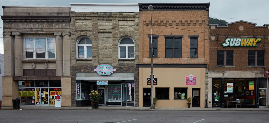
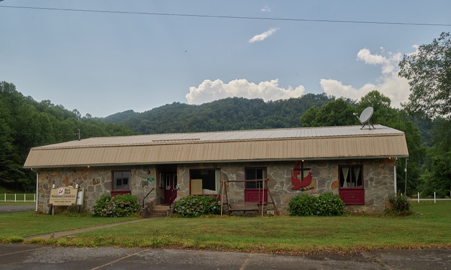
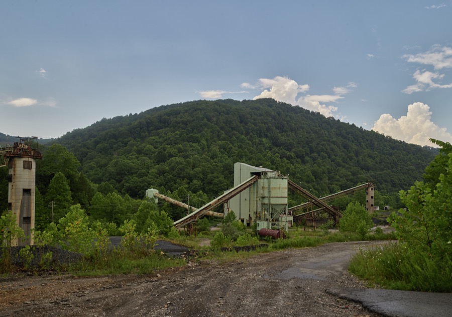
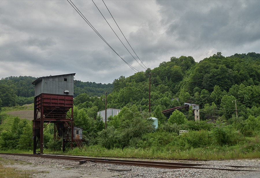
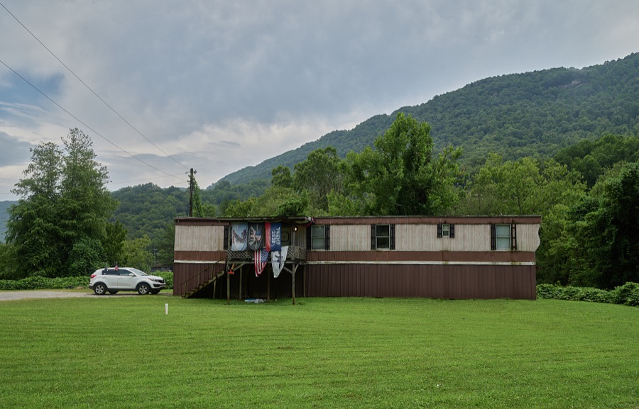
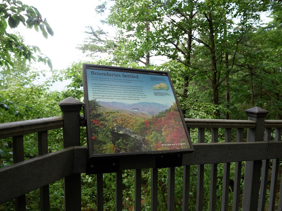
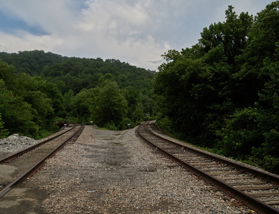
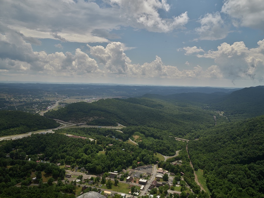
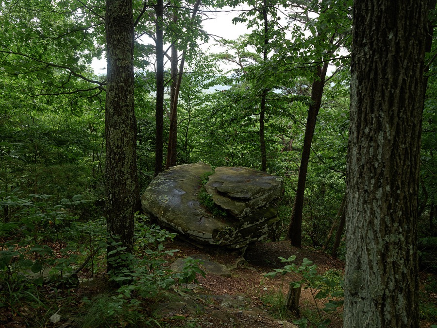
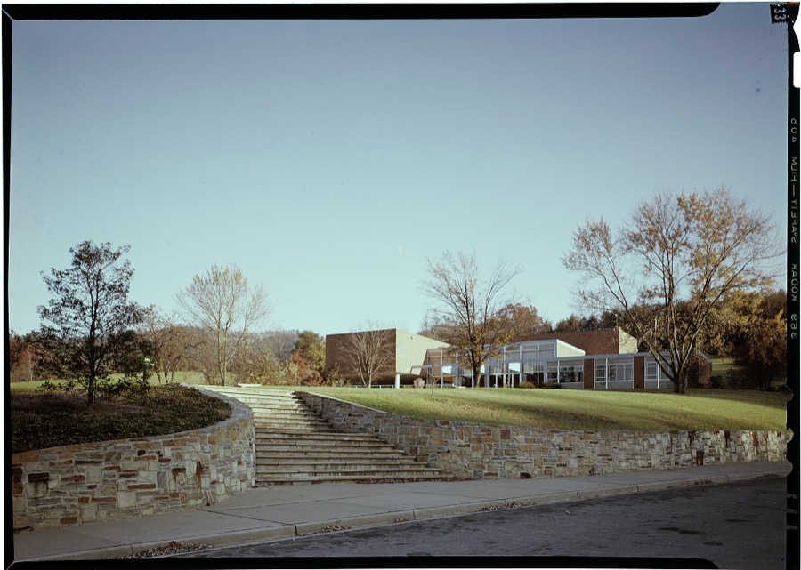
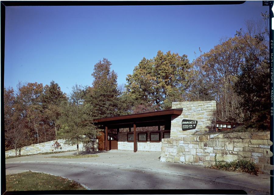
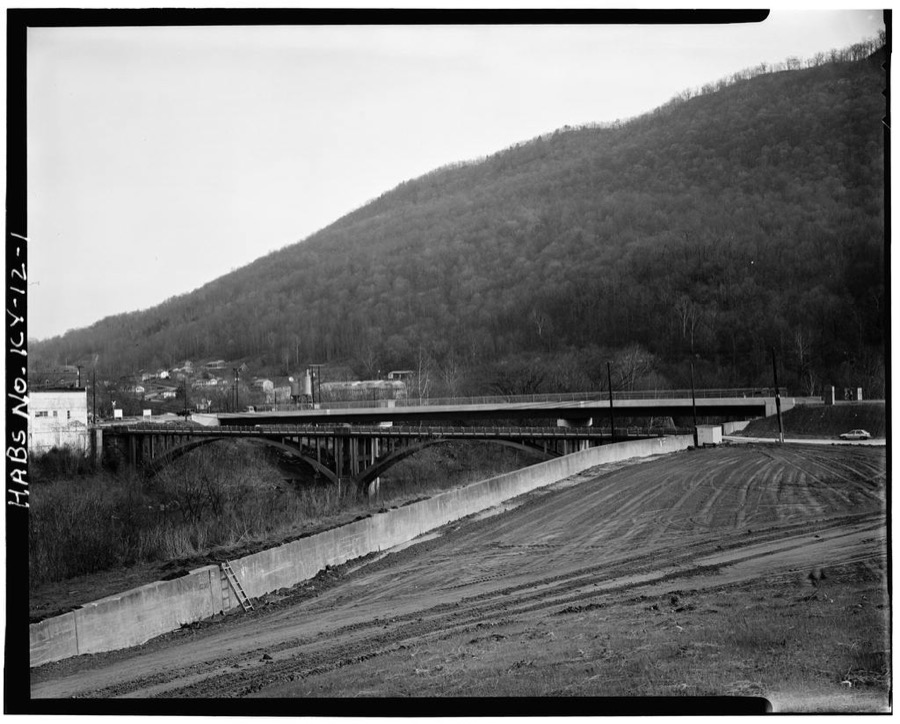
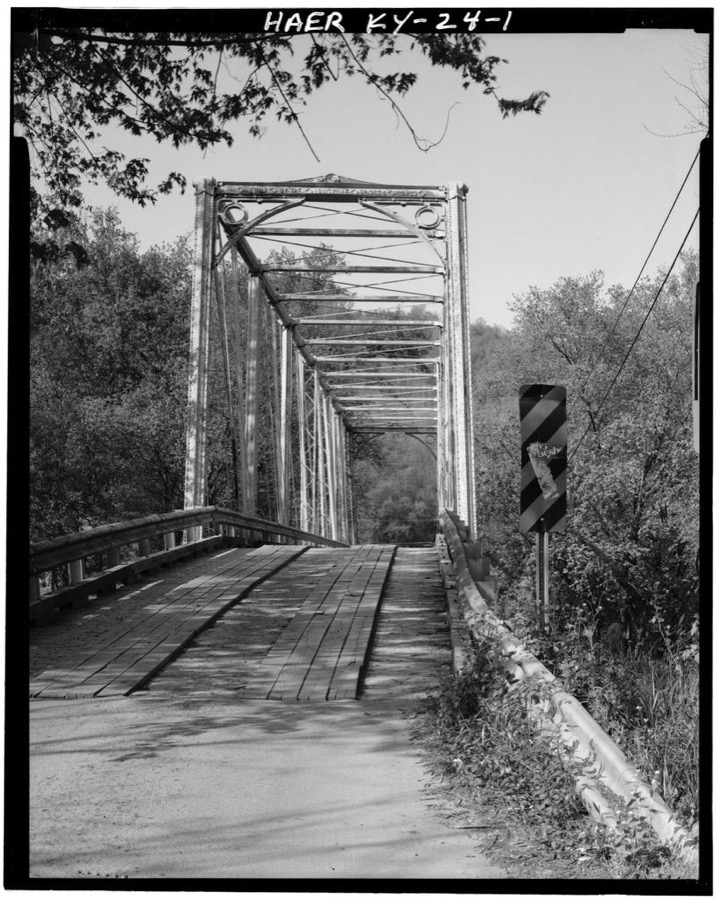
Every property in this county listed on the National Register of Historic Places, with the year it was listed and the federal nomination document.
| Photograph | Property | Type | Listed | Reference |
|---|---|---|---|---|
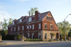 | American Association, Limited, Office Building | building | 1978 | 78001299 |
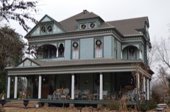 | Brooks House | building | 2009 | 09001137 |
 | Cumberland Gap Historic District | district | 1980 | 80000366 |
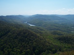 | Cumberland Gap National Historical Park | district | 1966 | 66000353 |
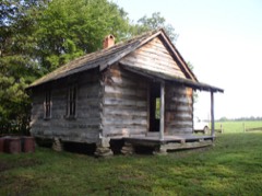 | Hensley Settlement | district | 1980 | 80000367 |
 | Middlesboro Downtown Commercial District | district | 1983 | 83002554 |
| Middlesboro Jewish Cemetery | site | 2017 | 100001419 | |
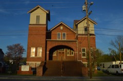 | Mt. Moriah Baptist Church | building | 1985 | 85001747 |
 | Pineville Courthouse Square Historic District | district | 1990 | 90001019 |
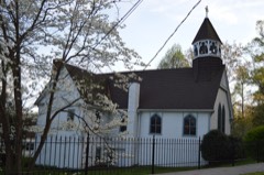 | St. Mary's Episcopal Church | building | 1984 | 84000341 |
Sampled issues, machine-read from the Library of Congress scan and published page by page, so every headline and column is searchable text.
Middlesboro, Ky., 1895 to 1898. Machine-read from the Library of Congress scan.
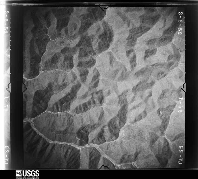
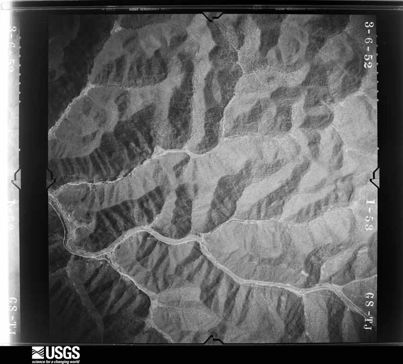
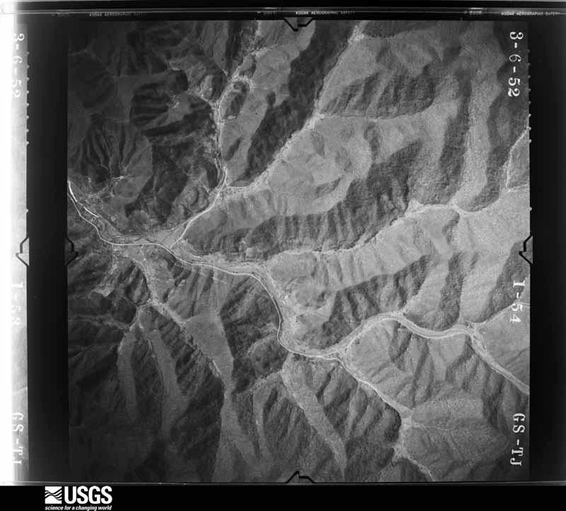
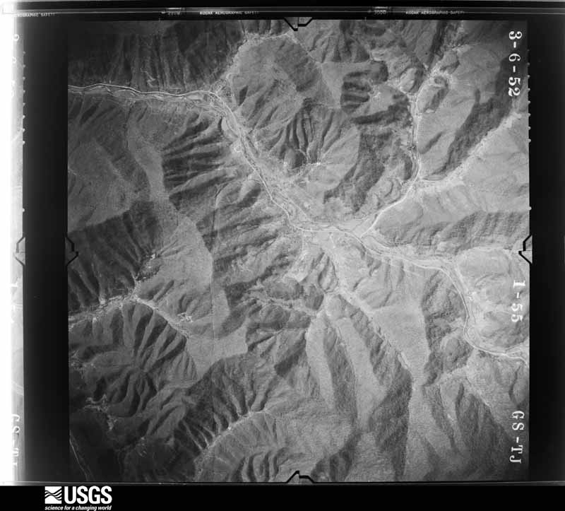
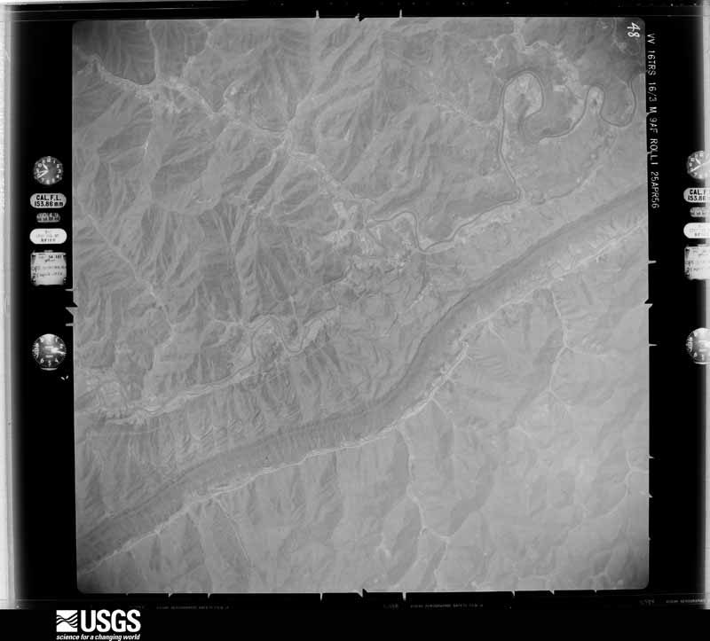
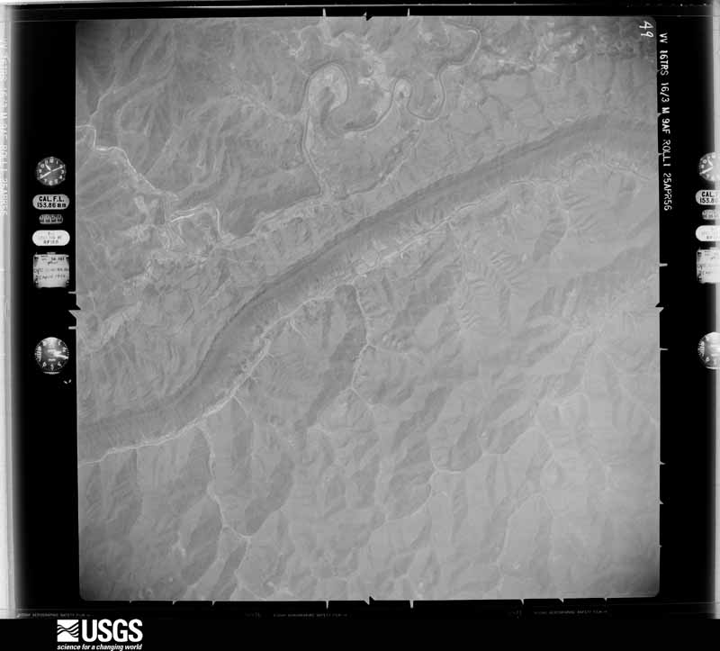
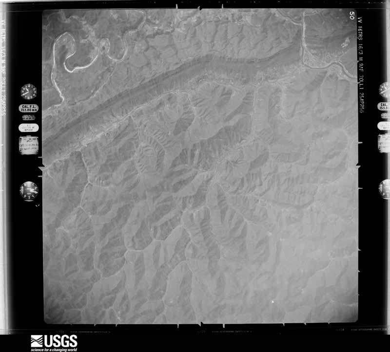
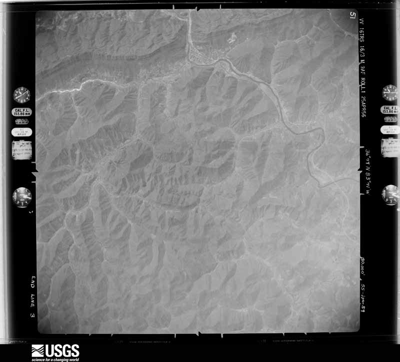
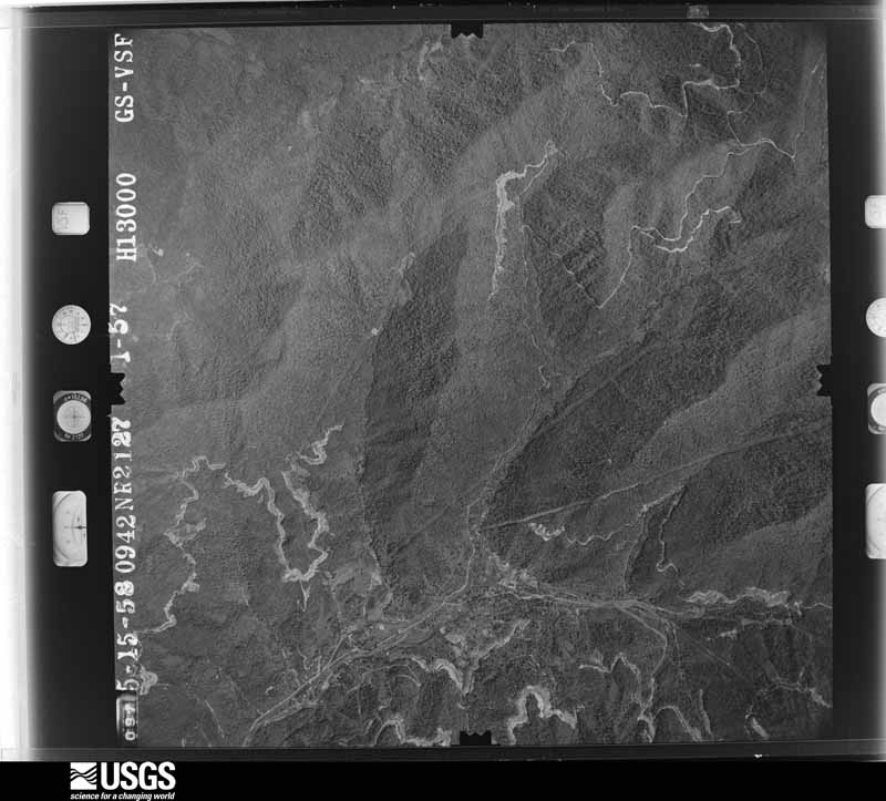
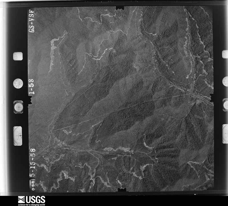
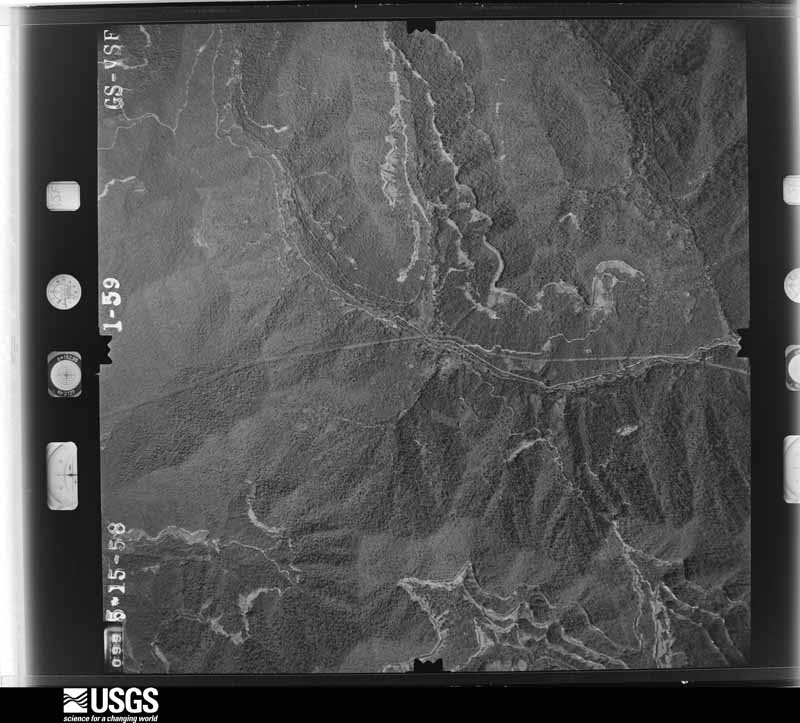
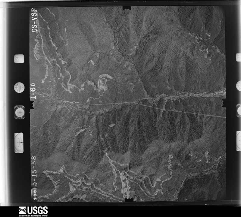
Flown by the U.S. Geological Survey between 1937 and 1989, the Aerial Photo Single Frames collection is the definitive mid-century view of the land: fields, roads and rivers as the camera saw them. The Survey holds 828 frames inside the rectangle that bounds this county; the 32 frames below were taken over the county itself, chosen across the decades of flights (at most four a year from that rectangle), so one flight cannot crowd out the rest. The full set is free to browse and download at EarthExplorer under the dataset Aerial Photo Single Frames.




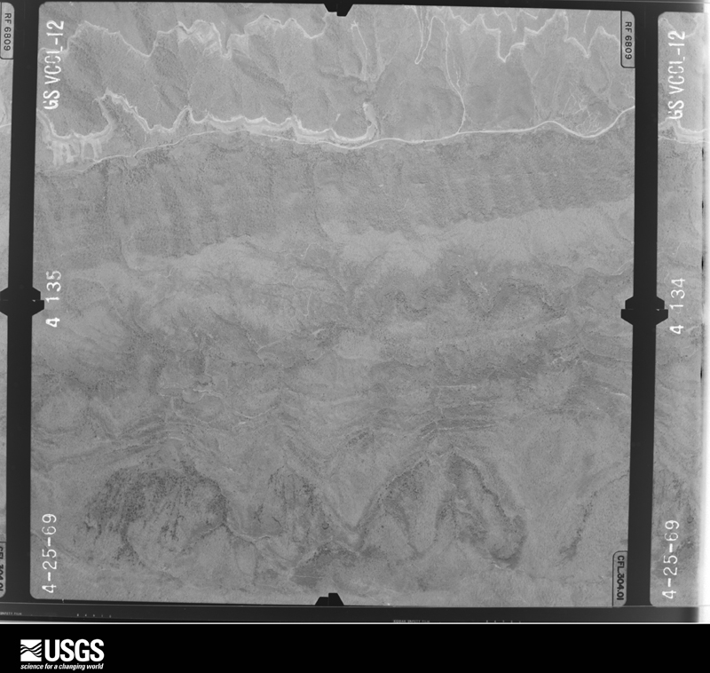


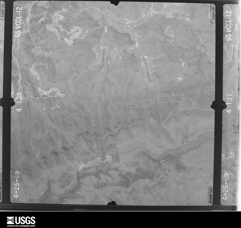
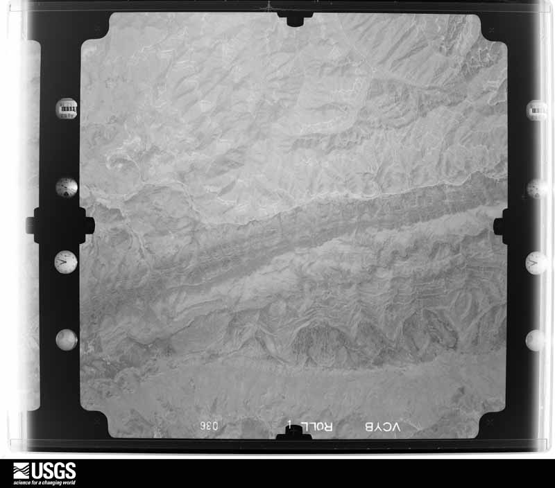
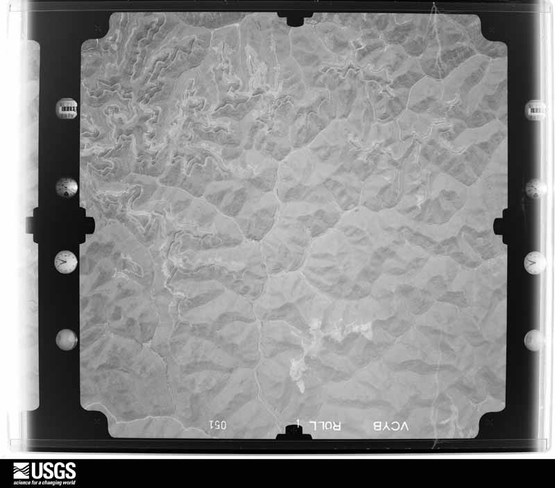
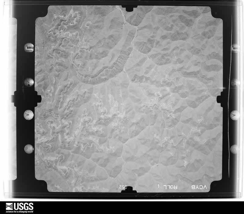
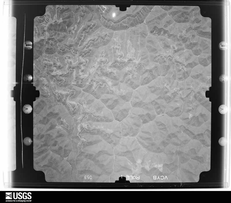
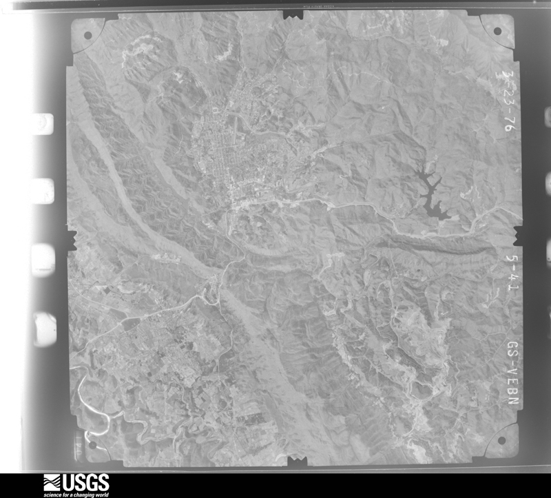
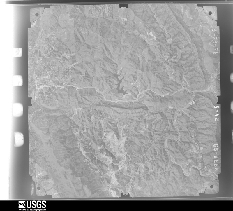
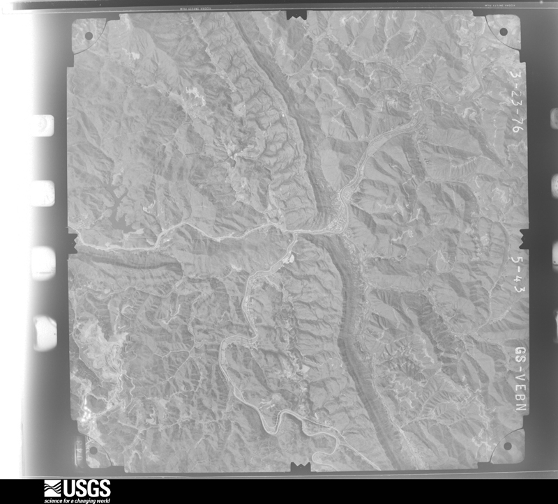
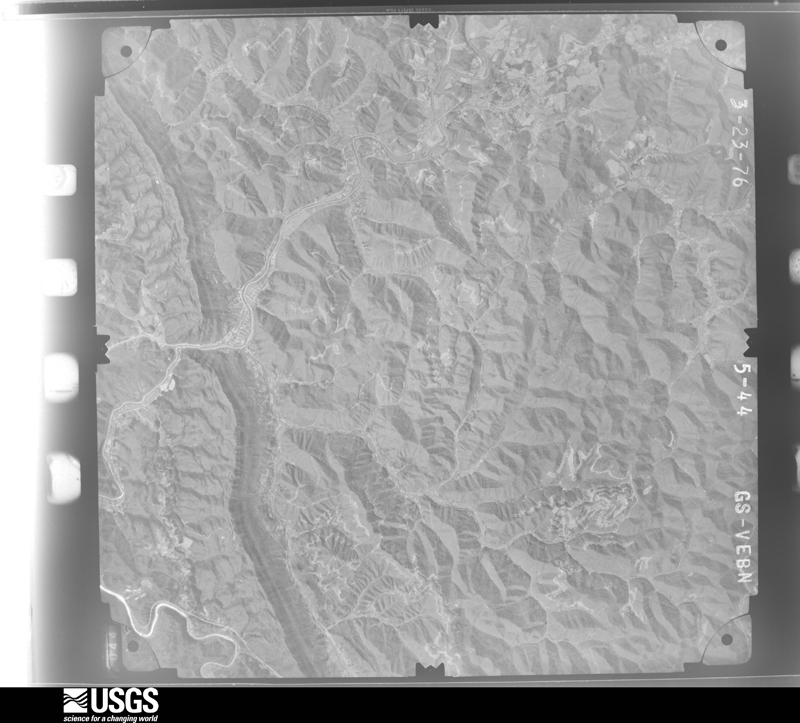
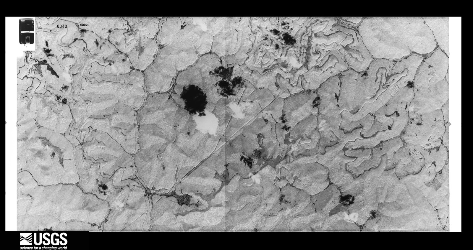
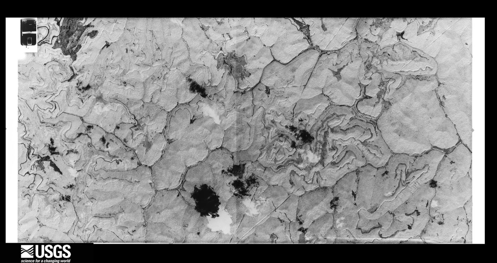
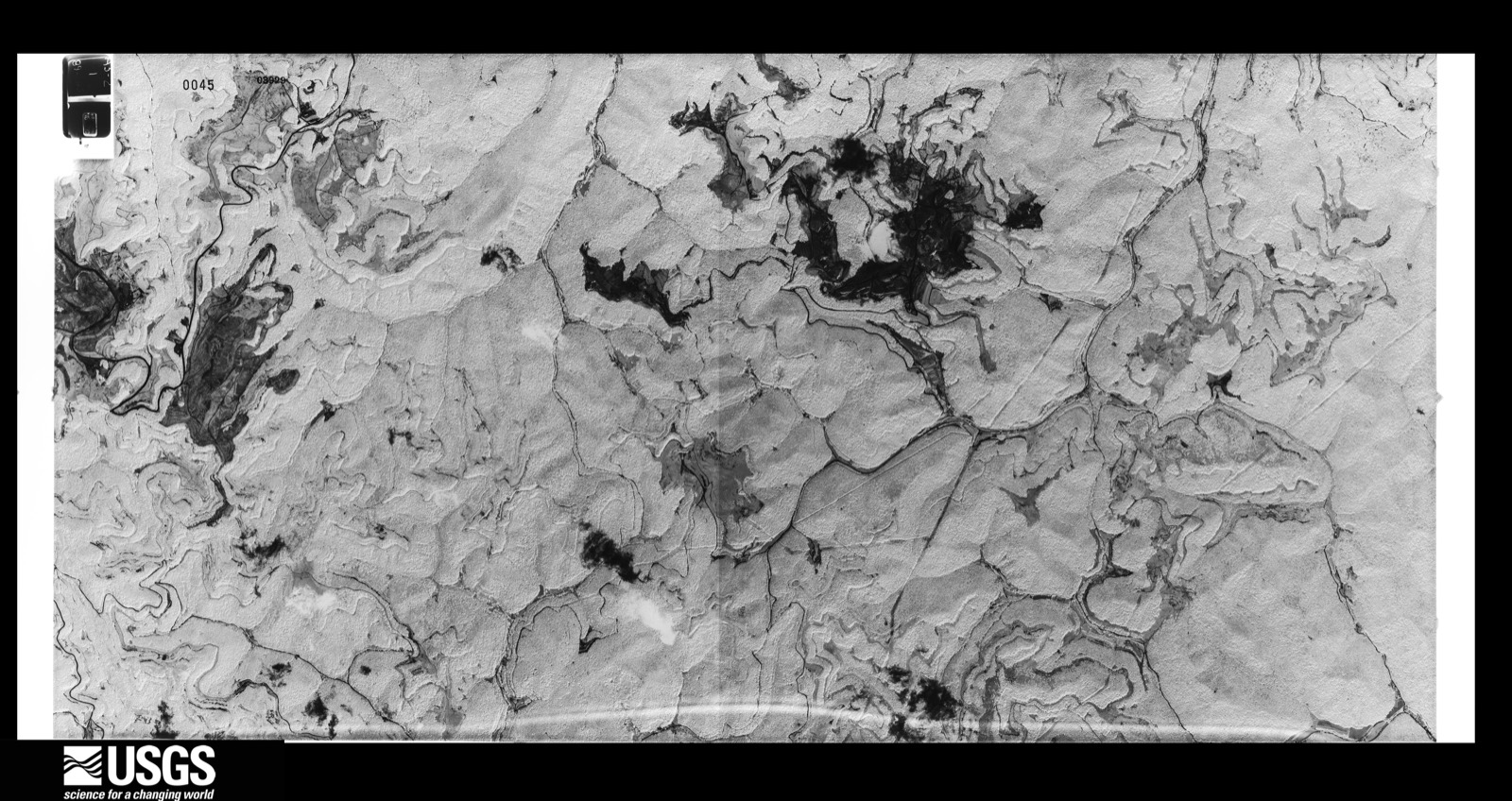
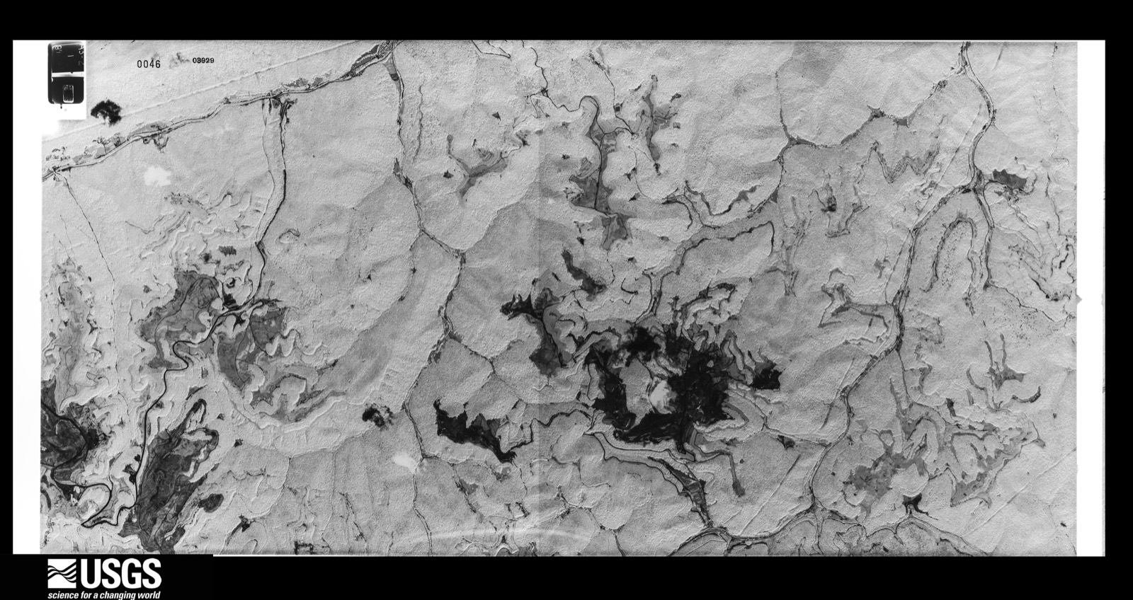
The thermometers that kept this county's weather, and the gages that measured the flow of its streams, as the federal records hold them. The extremes below are measured values from those records, not estimates.
Who lived here in 1950, one enumeration district at a time, as the Census Bureau described each district. Each row opens its official National Archives result, with Population Schedules and ED Maps available there.
Every wildfire the federal occurrence database records inside this county: 932 of them, burning about 37,856 acres. 11 started naturally and 213 were recorded as arson. Each settlement page carries the fires within five miles of it.
| Reported cause | Fires |
|---|---|
| Debris and open burning | 394 |
| Missing data/not specified/undetermined | 246 |
| Arson/incendiarism | 213 |
| Recreation and ceremony | 44 |
| Natural | 11 |
| Railroad operations and maintenance | 8 |
| Equipment and vehicle use | 7 |
| Smoking | 6 |
| Misuse of fire by a minor | 2 |
| Power generation/transmission/distribution | 1 |
The five largest, by the area the report gives. One of them was set deliberately.
| Date | Cause | Size | Reported by | Name on the report |
|---|---|---|---|---|
| 5 October 2007 | Missing data/not specified/undetermined | 1,963 acres | Kentucky Division of Forestry | SOUTHEASTERN COMPLEX |
| 7 November 2016 | Debris and open burning | 1,600 acres | Kentucky Division of Forestry | KY RIDGE |
| 9 March 2006 | Missing data/not specified/undetermined | 1,105 acres | Kentucky Division of Forestry | ROCKY FACE |
| 30 October 2001 | Arson/incendiarism | 900 acres | Kentucky Division of Forestry | not named |
| 18 November 2016 | Debris and open burning | 830 acres | Kentucky Division of Forestry | WALLSEND |
| 2 November 2016 | Debris and open burning | 800 acres | Kentucky Division of Forestry | HWY 190 |
| 10 March 2006 | Missing data/not specified/undetermined | 535 acres | Kentucky Division of Forestry | not named |
| 11 April 2006 | Missing data/not specified/undetermined | 521 acres | Kentucky Division of Forestry | SLATE DUMP #2 |
Every settlement page carries the fires within five miles of it - see the settlement index below.
The NOAA Storm Events Database holds 374 reports for this county, causing 1 death, 17 injuries and about $31,511,560 in recorded property damage. Each settlement page carries the reports that name it.
| Kind of event | Reports |
|---|---|
| Thunderstorm Wind | 186 |
| Flash Flood | 61 |
| Hail | 60 |
| Flood | 33 |
| Heavy Rain | 21 |
| Tornado | 6 |
| Funnel Cloud | 3 |
| Debris Flow | 3 |
| Lightning | 1 |
The most serious of them, by death, then injury, then recorded damage. The accounts are quoted exactly as the forecast office filed them.
| When | Event | Place named | Harm | What the report says |
|---|---|---|---|---|
| May 1988 | Tornado (F3) | not stated | 1 killed, 15 hurt, $25,000,000 | no account filed |
| April 1990 | Thunderstorm Wind | not stated | 1 hurt | no account filed |
| July 1987 | Thunderstorm Wind | not stated | 1 hurt | no account filed |
| February 2020 | Flood | Dorton Branch | $4,000,000 | Local media reported devastating flooding throughout Bell County, including damage to approximately 90 homes. This includes Pineville, where the Cumberland River crested to its second highest stage in history, forcing officials to close the city's floodgates. The community of Fourmile was hard hit, while the Dorton Branch community saw several people without homes as flood waters of nearly a foot deep impacted them. Several homes and businesses, including Faith Missionary Baptist Church, sustained damage. Middlesboro was also heavily impacted as numerous businesses and homes were inundated. At least three water rescues were made by public safety officials between Pineville and Middlesboro. |
| June 2011 | Flood | Middlesboro Bell Arp | $1,000,000 | Parts of Old Pineville Pike, Cumberland Ave, and 25th St were severely flooded in Middlesboro. By midmorning, the Cumberland Gap Tunnel was closed and parts of Hwy 25E were impassable. The Binghamton area of Middlesboro was also under water, with many residents having to use boats to navigate the flooded streets. |
| October 2010 | Tornado (EF1) | Middlesboro Bell Arp | $250,000 | EF-1 tornado. Numerous trees were blown down and some structures were damaged near the mall, along 12th street, and along 19th street. The roof of the mall was damaged. The roof was blown off of Hickmans Building Supply and large sheets of metal were lifted, carried, and dropped 1/2 to 3/4 of a mile away. Two cinder block buildings were demolished at a lumber yard and two large steel doors were blown off of another business. A large sycamore tree that was blown down at the corner of 29th and Cumberland took down power lines as it fell. |
| May 1998 | Tornado (F1) | Fonde | $200,000 | no account filed |
| February 2018 | Flood | Pineville | $100,000 | Numerous roads were flooded in and around Pineville and Middlesboro including: Old Pineville Pike in Middlesboro, Highway's 2013 and 1534 in Pineville, Highway 221 at mile marker 9 in Stoney Fork and the intersection of 17th Street and Cumberland Ave in Middlesboro. A water rescue had to be performed 4 miles west northwest of Pineville at Magnet Hollow on Kentucky Highway 92 after a motorist drove into a flooded roadway. There was several feet of water across portions of Old Bell High Road near Pineville. Flooding also caused a mudslide on Kentucky Highway 74 near Middlesboro. The road was closed for around 2 weeks to clear the mudslide and repair the road. |
| April 2007 | Thunderstorm Wind | Middlesboro | $100,000 | Numerous trees and powerlines down throughout the county. Roof and siding damage to a few homes in the Dorton Branch area. |
| July 2019 | Thunderstorm Wind | Pineville | $55,000 | Local media reported numerous large trees downed in Pineville, resulting in damage to several personal and official vehicles as well as damage to a few homes. A local business lost its roof as a result of the high winds. Due to the damage, city officials cancelled the Fourth of July Festival that was planned for the evening. |
| July 2012 | Thunderstorm Wind | Middlesboro | $50,000 | The roof of a Big Lots store and various other business signs along Hwy 25E were damaged or blown away completely. |
| January 2008 | Thunderstorm Wind | Pineville | $50,000 | Trees were blown down in Pineville and throughout the county by wind gusts estimated at 67 mph. |
| June 1998 | Lightning | Middlesboro | $50,000 | Lightning struck and burned up a transformer. |
| April 1998 | Flash Flood | Countywide | $50,000 | no account filed |
| May 2008 | Thunderstorm Wind | Pineville | $40,000 | Numerous trees and power lines were blown down by thunderstorm wind gusts in the eastern portion of the county. |
| May 2024 | Thunderstorm Wind | Gardner | $30,000 | A photo was posted on social media of a tree leaning on a house, near the Noetown community on the west side of Middlesboro. |
| July 2022 | Thunderstorm Wind | Paramount | $30,000 | Pictures posted by WRIL Radio on their social media account show multiple trees and branches had fallen onto a home along 43rd Street in Middlesboro, leading to extensive roof and interior ceiling damage. |
| June 2018 | Thunderstorm Wind | Calvin | $25,000 | The Kentucky Department of Highways and local dispatch reported trees blown down from Calvin to Callaway along U.S. Highway 119. A home and vehicle were both damaged in Calvin as trees fell on both of them. |
| April 2012 | Thunderstorm Wind | Frakes | $25,000 | There were power lines blown down. |
| February 2019 | Heavy Rain | Davisburg | $20,000 | The Kentucky Transportation Cabinet reported mudslides across the county. These caused the roadway to be reduced to one lane on Kentucky Highways 74, 987, 225, and 1344. |
| June 2018 | Flash Flood | Ferndale | $20,000 | A local media outlet reported flowing water over Kentucky Highway 516 between Page and Colmar. A driver had to be rescued from these flood waters as their vehicle became submerged while attempting to drive through them. |
| November 1996 | Flash Flood | Middlesboro | $20,000 | no account filed |
| February 2020 | Flood | Stoney Fork | $16,000 | A citizen reported standing water over Kentucky Highway 2011 in Stoney Fork. A church and multiple homes also had water surrounding and inundating them. |
| August 2024 | Flash Flood | Arjay | $15,000 | Flash flooding occurred along Kettle Island Branch Road, and continued to the intersection of Hwy-221 in the community of Kettle Island. The flooding began near the intersection of Kettle Island Branch Road and Old School Lane as well as Blevins Lane. Several homes were surrounded with water, and a parked vehicle was moved by flowing water. |
| April 2020 | Flood | Binghamton | $15,000 | Rescue squad officials had to perform a water rescue on Old Pineville Pike north of Middlesboro as a motorist became stranded in flood waters. |
| March 2012 | Thunderstorm Wind | Middlesboro | $15,000 | Trees were blown down in Middlesboro. |
| April 1998 | Flash Flood | Countywide | $15,000 | no account filed |
| February 2020 | Flood | Miracle | $11,000 | Local media reported Bell County Veterans Memorial Park was under 2-3 feet of water, while a mudslide was observed on Kentucky Highway 987 near the Miracle Bridge. |
| May 2025 | Hail | Clear Creek Spgs | $10,000 | A report on social media said that hail at least the size of quarters was breaking windshields on KY-190 along Log Mountain in Bell County, near the Clear Creek Springs community. |
| May 2020 | Flash Flood | Tinsley | $10,000 | A citizen reported water flowing over Kentucky Highways 92 and 2077 southwest of Fourmile. Kentucky State Police and the Bell County Rescue Squad had to rescue two people who became stuck in flood waters on Jim McGaffee Road. |
| March 2012 | Thunderstorm Wind | Pineville | $10,000 | Trees were blown down in Pineville. |
| March 2012 | Thunderstorm Wind | Miracle | $10,000 | Trees were blown down in Hulen or 4 miles north northeast of Miracle. |
| March 2012 | Thunderstorm Wind | Arjay | $10,000 | Trees were blown down in Arjay. |
| March 2002 | Flash Flood | Pineville | $10,000 | Heavy rains that fell caused several roads to be closed across Bell County. |
| June 1997 | Tornado (F0) | Pineville | $10,000 | The path of the tornado was intermittent. Trees were downed, and there was some minor structural damage. |
| March 1997 | Flash Flood | Middlesboro | $10,000 | no account filed |
| May 1996 | Flash Flood | Arjay | $10,000 | no account filed |
| July 2023 | Thunderstorm Wind | Miracle | $9,000 | Radio station WRIL reported a snapped power pole on KY-987 near the intersection of Baker Hill Road (close to Community Harvest Tabernacle). In addition, the KSP post in Harlan also reported a tree had blown down onto KY-987 in the same vicinity, blocking both lanes. |
| February 2011 | Thunderstorm Wind | Middlesboro | $8,000 | An 8 by 12 foot shed was moved about 40 feet by a thunderstorm wind gust. A few shingles and some siding was torn off one structure. An unsupported concrete block wall was also knocked over. The damage occurred at the corner of 23rd and Winchester Streets in Middlesboro. |
| February 2008 | Thunderstorm Wind | Middlesboro | $8,000 | Both trees and powerlines were blown down along Highway 2079. |
| April 2007 | Thunderstorm Wind | Pineville | $8,000 | A large 15-16 inch diameter poplar tree was blown down across Highway 190. Approximately 70-75 people without power. |
| May 2000 | Thunderstorm Wind | Countywide | $8,000 | Strong thunderstorm winds brought widespread damage across Bell county. Numerous trees were brought down as well as power lines. A tree was blown down on a house producing minor damage and a porch roof was blown off another residence. |
| April 2011 | Thunderstorm Wind | Middlesboro | $6,000 | Trees were blown down and onto power lines at the Bella Gardens Apt complex on Old Pineville Pike in Middlesboro. |
| January 2008 | Thunderstorm Wind | Cubage | $6,000 | Trees were blown down onto Highway 987 in the Brownies Creek area by wind gusts estimated at 62 mph. |
| May 2024 | Thunderstorm Wind | Paramount | $5,000 | A tree was down near the Middlesboro Fire Station #2, causing a power pole to lean on the building. |
| July 2019 | Flash Flood | Davisburg | $5,000 | Local media reported flowing water around Oat Field Branch off of Kentucky Highway 92 southwest of Ingram. This resulted in homeowners being trapped as a footbridge washed away. |
| February 2019 | Heavy Rain | Chenoa | $5,000 | Kentucky Highway 3485 near Frakes was reported by a media outlet to have been damaged from a slide. |
| June 2018 | Thunderstorm Wind | Wessell | $5,000 | Dispatch reported a tree blown down onto a home on U.S. Highway 119 at Helton Road. A tree was also blown down onto U.S. Highway 119 near Callaway. |
| February 2012 | Thunderstorm Wind | Callaway | $5,000 | Trees were blown down along US Hwy 119 in Callaway. |
| February 2012 | Thunderstorm Wind | Beverly | $5,000 | Trees were blown down on Cow Fork Rd 1 mile southeast of Beverly. |
| February 2012 | Thunderstorm Wind | Dorton Branch | $5,000 | Trees were blown down on Petes Blossom Rd south of Cary. |
| February 2012 | Thunderstorm Wind | Pineville | $5,000 | Trees were blown down on Dorton Branch Rd north of Pineville. |
| April 2011 | Thunderstorm Wind | Middlesboro | $5,000 | There were trees blown down on the right fork of Polly Hollow Rd outside of Middlesboro. |
| December 2009 | Flood | Ponza | $5,000 | Blue Ridge Church Road was washed out in Ponza. |
| June 2007 | Hail | Stony Fork Jct | $5,000 | Quarter size hail. Also, multiple large limbs down and power outage. One mile from Harlan County line. |
| June 2006 | Thunderstorm Wind | Middlesboro | $5,000 | One tree down in Spade Acres in Middlesboro. Trees down on Highway 987 towards Cubage. Power outages in the Ferndale area south of Pineville. |
| August 2005 | Thunderstorm Wind | Pineville | $5,000 | Several trees and power lines down in city and county wide. |
| May 1998 | Thunderstorm Wind | Garmeada | $5,000 | Trees were downed and a church was damaged. |
| May 2010 | Flood | Calvin | $4,000 | Route 1344 was covered with water in most areas with some trees down as well. |
| August 2010 | Thunderstorm Wind | Meldrum | $4,000 | Four trees were blown down. |
The Survey's mineral resources record lists 4 workings inside this county. 1 still produces and 3 are closed or unrecorded. Each settlement page carries the workings within five miles of it.
| Commodity | Workings |
|---|---|
| Clay | 2 |
| Silica | 1 |
| Sand and Gravel, Construction | 1 |
The least common of them first, because a county's hundredth gravel pit says nothing its first ten did not.
| Where | Site | Commodity | Status | Recorded |
|---|---|---|---|---|
| Hana Sand & Gravel Pit | Sand and Gravel, Construction | Producer | ||
| Levi Polly Sand Pit | Silica | Past Producer | ||
| Hamptonridge Shale Excavation Site | Clay | Prospect | ||
| Old Railroad Shale | Clay | Prospect |
Named settlements recorded in the Geographic Names Information System, each with the topographic sheets covering it. Villages, hamlets and abandoned places alike. Each is shown with the nearest named watercourse or landform and the survey quadrangle it falls on. The 2 places that were also surveyed for fire insurance come first, with the number of atlases and photographs held for them.
Middlesborough census division · 40965 · On Parker Branch · Middlesboro South quadrangle
28 sheets, 1886 to 1977
Fire insurance: 7 atlases
Pineville census division · 40977 · On Straight Creek · Pineville quadrangle
18 sheets, 1886 to 1977
Fire insurance: 8 atlases
Pineville census division · 40902 · On Wieser Branch · Pineville quadrangle
18 sheets, 1886 to 1977
Pineville census division · 40902 · On Caney Creek · Pineville quadrangle
18 sheets, 1886 to 1977
No longer a settlement
Pineville census division · 40913 · On Lawson Creek · Beverly quadrangle
18 sheets, 1886 to 1979
Middlesborough census division · 40965 · On Fourmile Run · Middlesboro North quadrangle
25 sheets, 1886 to 1977
Tejay census division · 40977 · On McFarland Branch · Balkan quadrangle
18 sheets, 1886 to 1977
Tejay census division · 40845 · On Puckett Creek · Balkan quadrangle
18 sheets, 1886 to 1977
Pineville census division · 40902 · On Left Fork Caney Creek · Pineville quadrangle
18 sheets, 1886 to 1977
Pineville census division · 40813 · On Hances Creek · Varilla quadrangle
27 sheets, 1886 to 1977
Middlesborough census division · 40965 · On Rockhouse Branch · Fork Ridge quadrangle
18 sheets, 1886 to 1977
Tejay census division · 40845 · On Oldhouse Branch · Balkan quadrangle
18 sheets, 1886 to 1977
Pineville census division · 40977 · On Howard Branch · Pineville quadrangle
18 sheets, 1886 to 1977
Pruden-Fonde census division · 40977 · On Partin Branch · Kayjay quadrangle
18 sheets, 1886 to 1977
Kentucky Ridge census division · 40977 · On Little Clear Creek · Middlesboro North quadrangle
25 sheets, 1886 to 1977
Middlesborough census division · 40965 · On Cranes Creek · Middlesboro North quadrangle
25 sheets, 1886 to 1977
Middlesborough census division · 40965 · On Davis Branch · Middlesboro South quadrangle
28 sheets, 1886 to 1977
No longer a settlement
Kentucky Ridge census division · 40977 · On Major Branch · Kayjay quadrangle
18 sheets, 1886 to 1977
Pineville census division · 40977 · On Dorton Branch · Pineville quadrangle
18 sheets, 1886 to 1977
Pineville census division · 40977 · On Bird Branch · Middlesboro North quadrangle
25 sheets, 1886 to 1977
Middlesborough census division · 40965 · On Slickrock Branch · Fork Ridge quadrangle
18 sheets, 1886 to 1977
Middlesborough census division · 40965 · On Moore Branch · Middlesboro North quadrangle
25 sheets, 1886 to 1977
Pineville census division · 40902 · On Little Camp Branch · Beverly quadrangle
18 sheets, 1886 to 1979
Pruden-Fonde census division · 40940 · On Sowder Creek · Eagan quadrangle
17 sheets, 1886 to 1977
Pineville census division · 40939 · On Fourmile Creek · Pineville quadrangle
18 sheets, 1886 to 1977
Pruden-Fonde census division · 40940 · Near Happy Hollow · Frakes quadrangle
16 sheets, 1886 to 1977
Middlesborough census division · 40965 · Near Maiden Ridge · Kayjay quadrangle
18 sheets, 1886 to 1977
Pineville census division · 40902 · On Caney Creek · Pineville quadrangle
18 sheets, 1886 to 1977
No longer a settlement
Pruden-Fonde census division · 40977 · On Partin Branch · Frakes quadrangle
16 sheets, 1886 to 1977
Pineville census division · 40977 · On Bird Branch · Middlesboro North quadrangle
25 sheets, 1886 to 1977
Pruden-Fonde census division · 40977 · On Partin Branch · Frakes quadrangle
16 sheets, 1886 to 1977
Middlesborough census division · 40965 · On Devils Garden Branch · Varilla quadrangle
27 sheets, 1886 to 1977
Pineville census division · 40977 · On Ingram Branch · Kayjay quadrangle
18 sheets, 1886 to 1977
Pineville census division · 40939 · On Buffalo Branch · Pineville quadrangle
18 sheets, 1886 to 1977
Pineville census division · 40902 · On Deer Branch · Balkan quadrangle
18 sheets, 1886 to 1977
Pineville census division · 40977 · On Elliott Branch · Pineville quadrangle
18 sheets, 1886 to 1977
Pineville census division · 40977 · On Howard Branch · Pineville quadrangle
18 sheets, 1886 to 1977
Pineville census division · 40958 · On Newtown Branch · Balkan quadrangle
18 sheets, 1886 to 1977
Pineville census division · 40958 · On Apple Blossom Branch · Balkan quadrangle
18 sheets, 1886 to 1977
No longer a settlement
Pineville census division · 40988 · On Gabe Branch · Balkan quadrangle
18 sheets, 1886 to 1977
Middlesborough census division · 40965 · Near Canada Mountain · Middlesboro North quadrangle
25 sheets, 1886 to 1977
Tejay census division · 40856 · On Brownies Creek · Balkan quadrangle
18 sheets, 1886 to 1977
Middlesborough census division · 40965 · On Beans Fork · Fork Ridge quadrangle
18 sheets, 1886 to 1977
Pineville census division · 40902 · On Cow Branch · Beverly quadrangle
18 sheets, 1886 to 1979
No longer a settlement
Kentucky Ridge census division · 40977 · On Caney Creek · Kayjay quadrangle
18 sheets, 1886 to 1977
Pineville census division · 40977 · On Yellow Creek · Middlesboro North quadrangle
25 sheets, 1886 to 1977
Middlesborough census division · 40965 · On Langley Branch · Fork Ridge quadrangle
18 sheets, 1886 to 1977
Pruden-Fonde census division · 40940 · On Back Creek · Eagan quadrangle
17 sheets, 1886 to 1977
Pineville census division · 40902 · On Sims Fork · Pineville quadrangle
18 sheets, 1886 to 1977
Pineville census division · 40939 · On Buffalo Branch · Pineville quadrangle
18 sheets, 1886 to 1977
No longer a settlement
Pineville census division · 40988 · On Stoney Fork · Balkan quadrangle
18 sheets, 1886 to 1977
Middlesborough census division · 40965 · Near Mingo Hollow · Fork Ridge quadrangle
18 sheets, 1886 to 1977
Pineville census division · 40977 · On Left Fork Straight Creek · Pineville quadrangle
18 sheets, 1886 to 1977
Pineville census division · 40977 · On Bell Jellico Branch · Artemus quadrangle
17 sheets, 1886 to 1977
Tejay census division · 40845 · On Lick Branch · Balkan quadrangle
18 sheets, 1886 to 1977
Pineville census division · 40813 · On Watts Creek · Varilla quadrangle
27 sheets, 1886 to 1977
Pineville census division · 40977 · On Mile Branch · Pineville quadrangle
18 sheets, 1886 to 1977
Pineville census division · 40977 · On Clear Creek · Middlesboro North quadrangle
25 sheets, 1886 to 1977
Middlesborough census division · 40965 · On Shade Branch · Fork Ridge quadrangle
18 sheets, 1886 to 1977
The vanished settlements of Bell County: the places named above that are no longer on the map.
18 topographic sheets and 8 fire insurance atlases, 1894 to 1941
28 topographic sheets and 7 fire insurance atlases, 1891 to 1948
The complete index, with nothing left out. Each of these is a separate record with its own page: a federal survey report, or the case file that argued a property on to the National Register. Both are public domain and reproduced word for word.
The vanished settlements of Bell County, the places these records name that are no longer on the map.