Block
From the record
101 National Register listings published here.
Sources: the National Register database, National Park Service
72 topographic sheets and 3 fire insurance atlases across 1 place.
101 National Register listings published here.
Sources: the National Register database, National Park Service
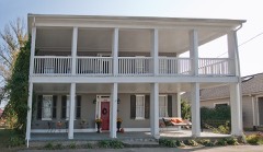
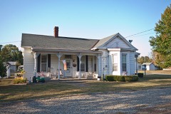
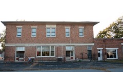
Taken for the Office of War Information and the Farm Security Administration, who photographed the country between 1935 and 1944. Works of United States government photographers, with no known restriction on use. Each opens its catalogue record.


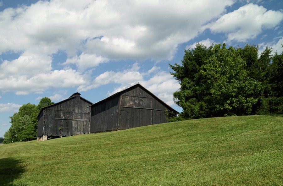
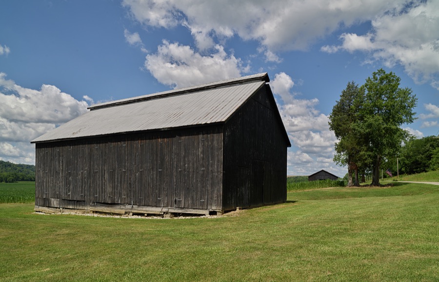



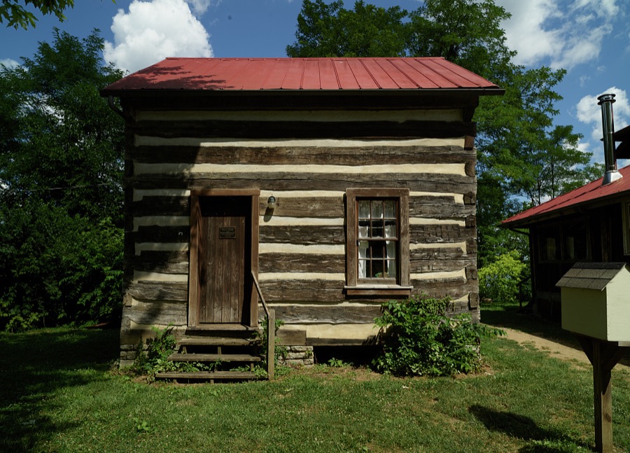
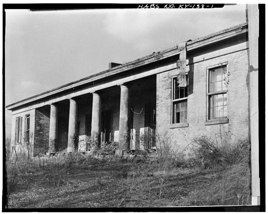
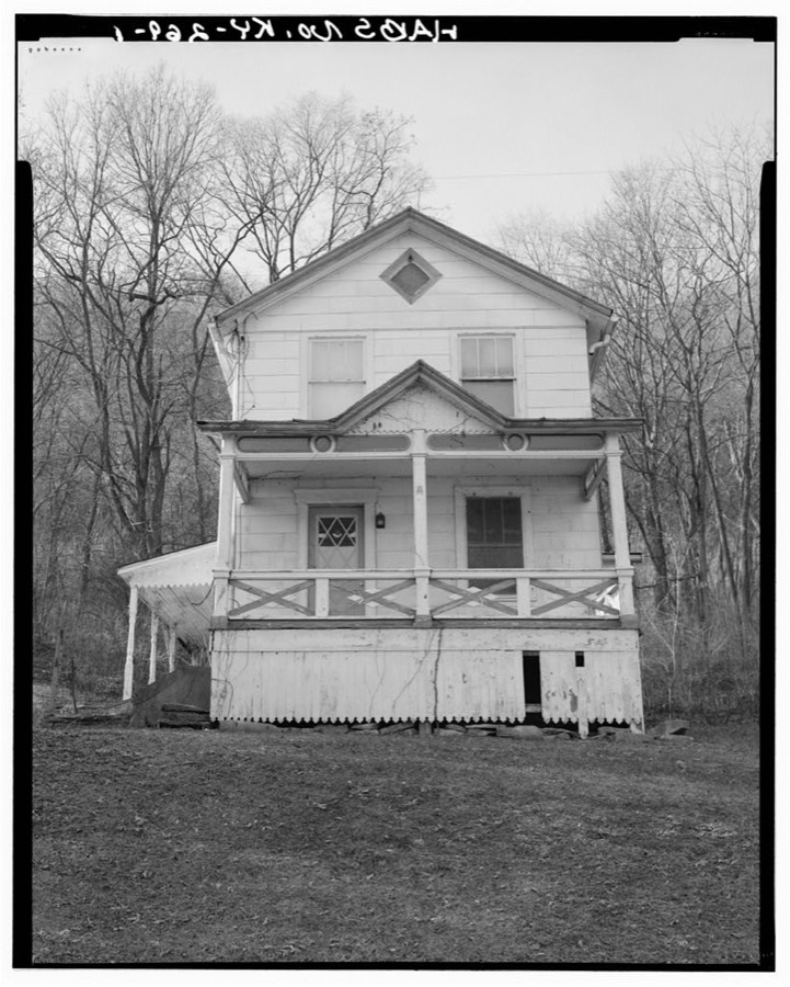
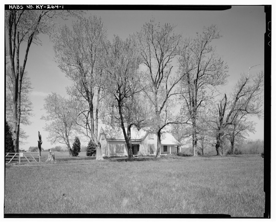
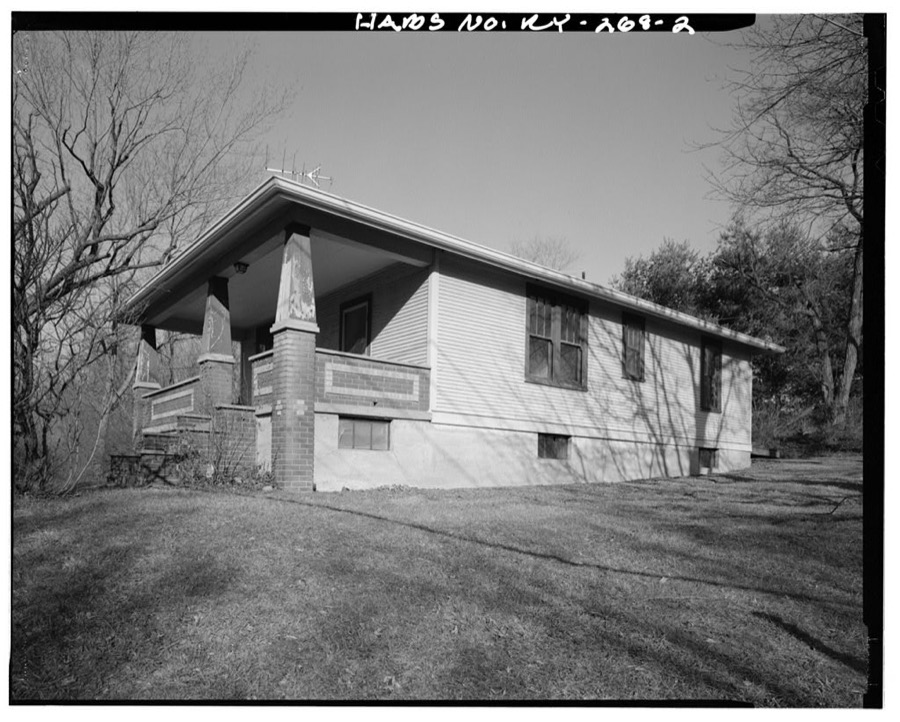
Every property in this county listed on the National Register of Historic Places, with the year it was listed and the federal nomination document.
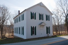
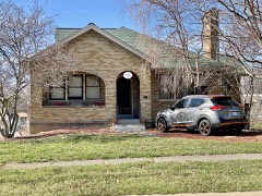
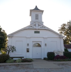
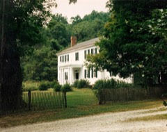
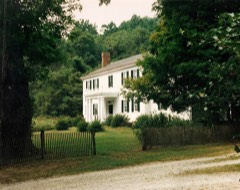
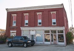
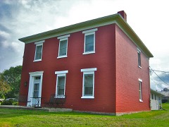
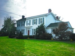
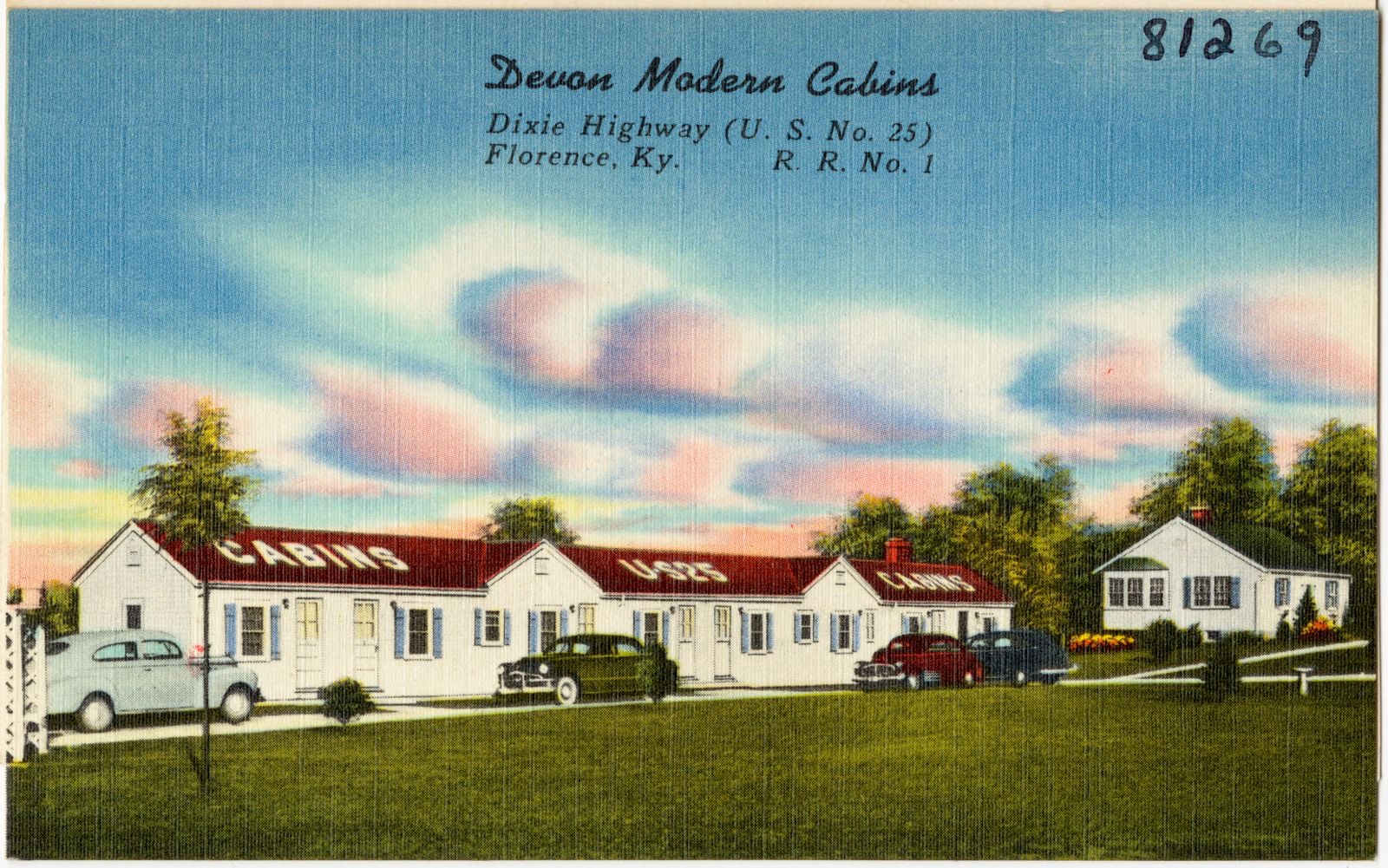
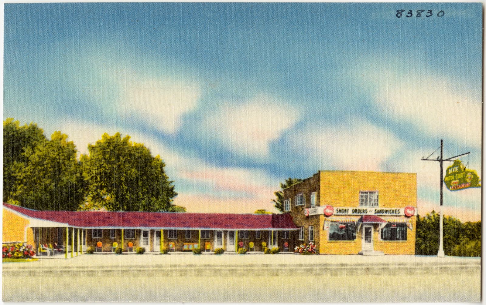
Selected from the Digital Public Library of America's 4 image records catalogued for this county. Every one shown here carries a public-domain status or a licence that permits reuse on a site that carries advertising; non-commercial, share-alike and restricted images are excluded. The selection is spread across the county's towns (at most eight per town), so no single institution's bulk upload crowds out the rest. Each opens the holding library's record, and the complete set at the Digital Public Library of America is one click away.


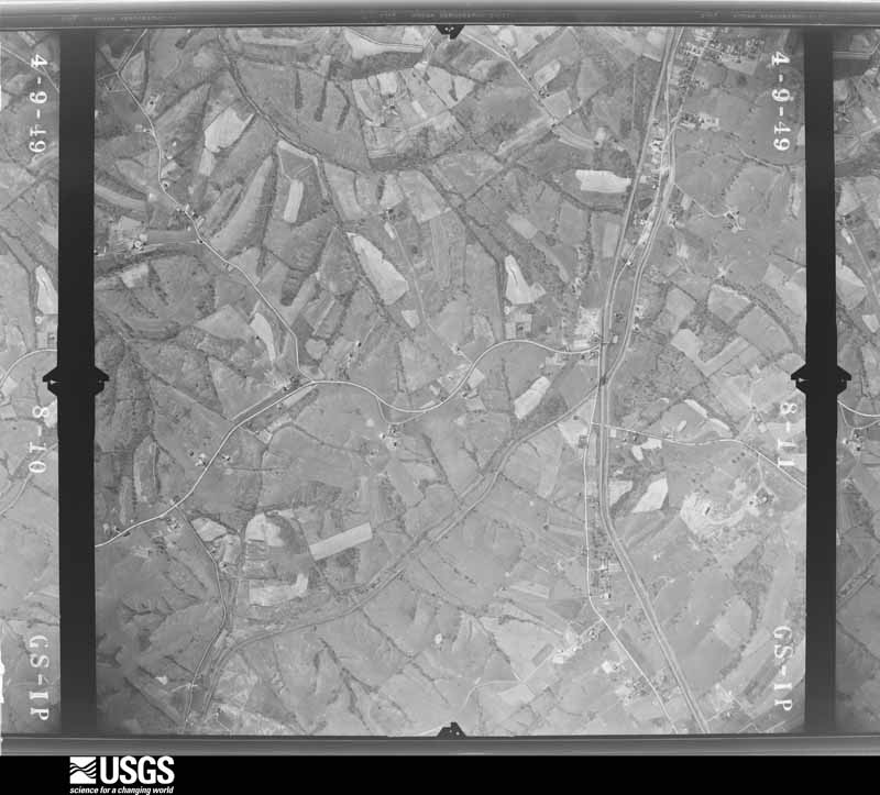
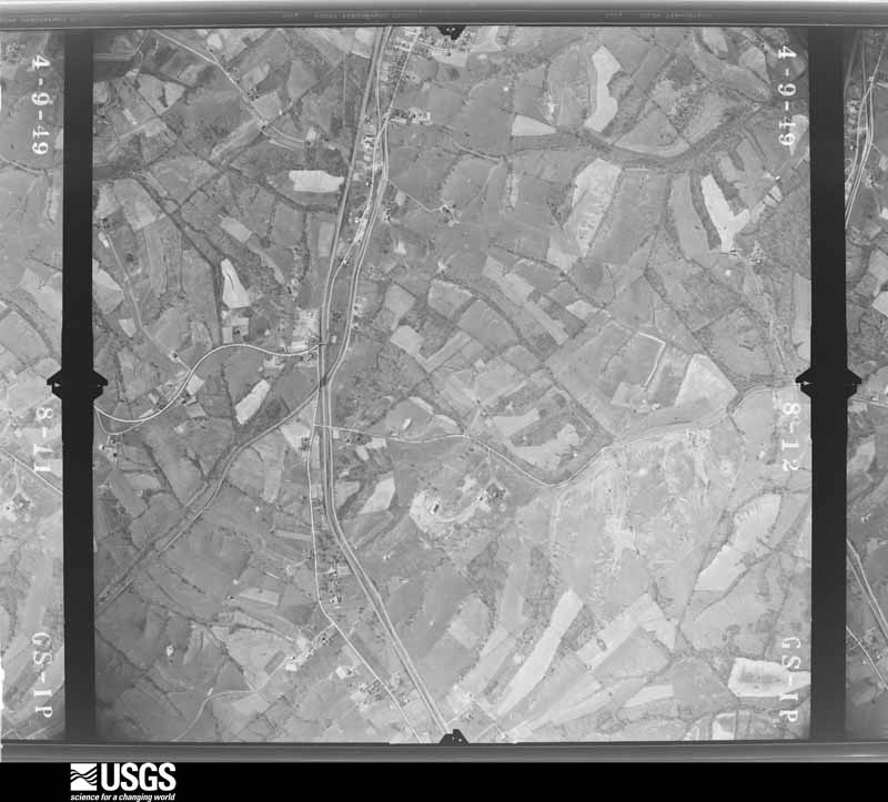
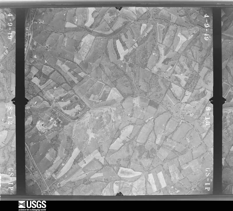
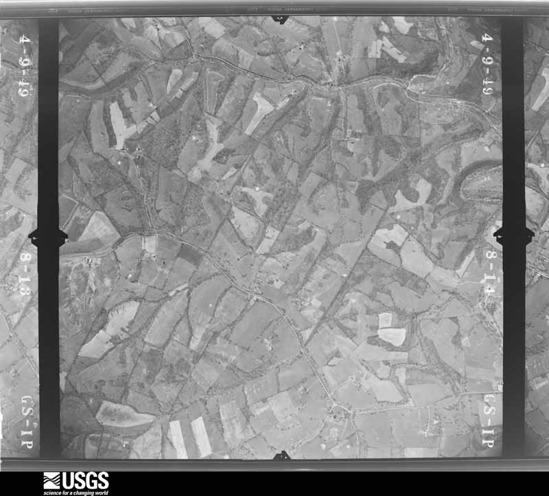
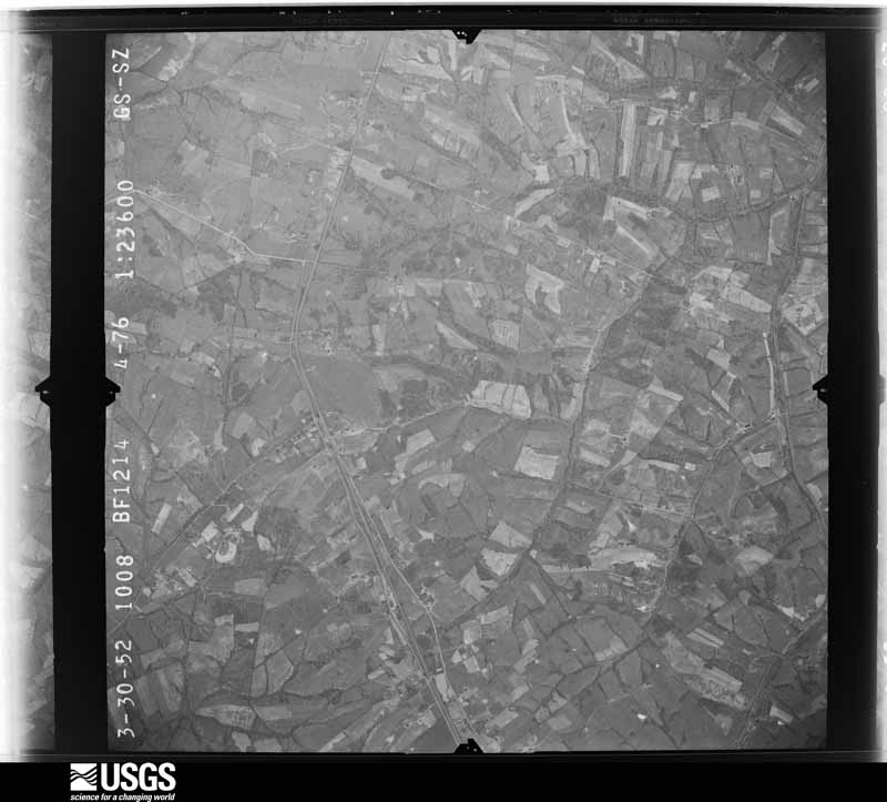
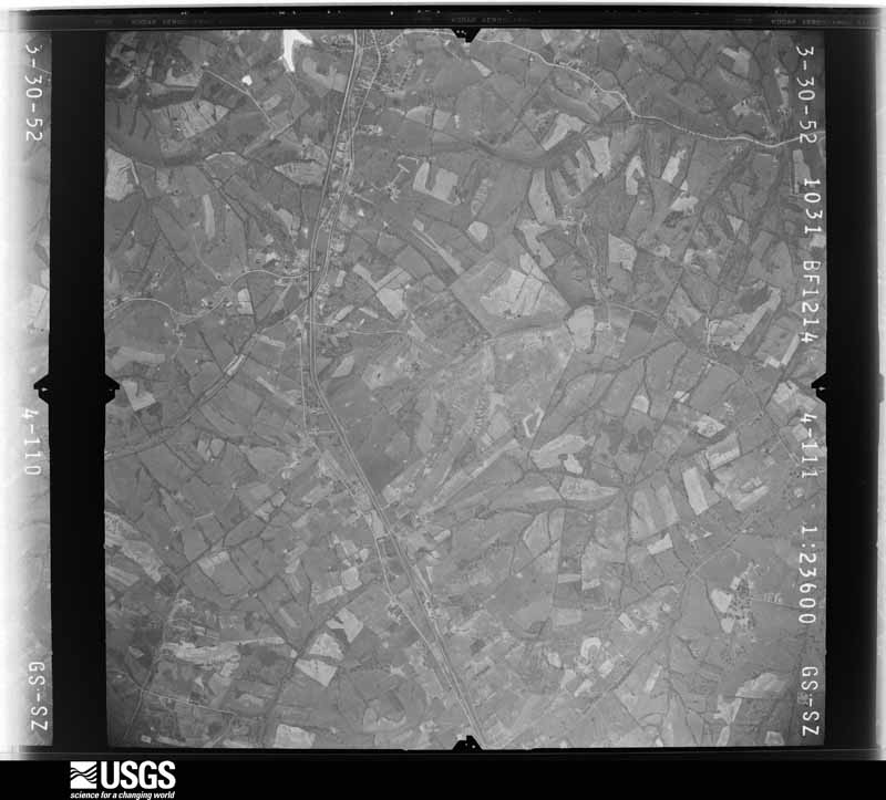
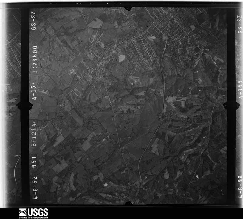
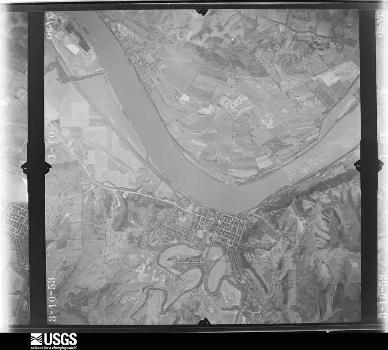
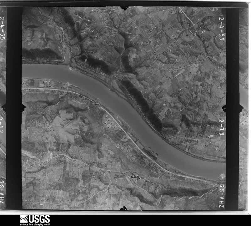
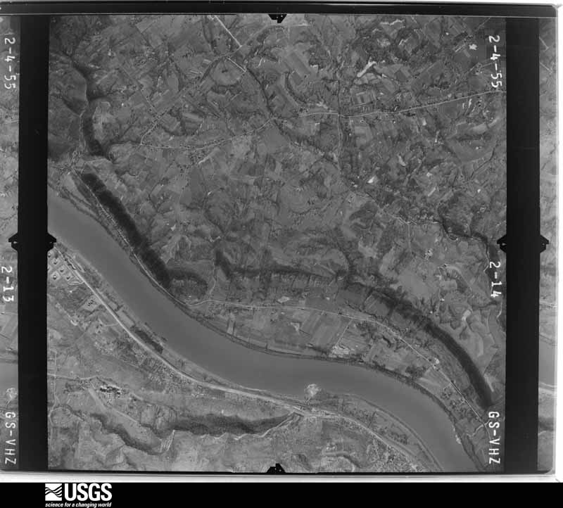
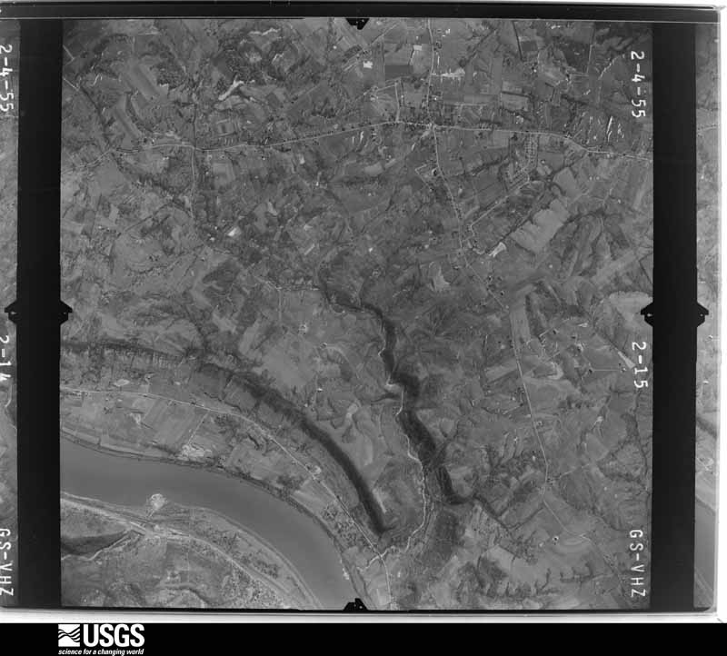
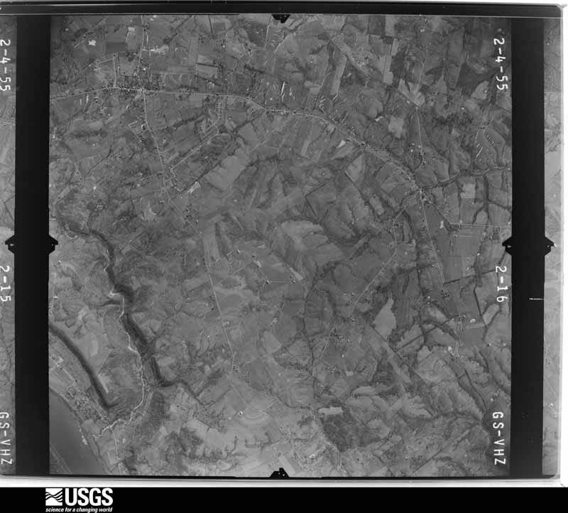
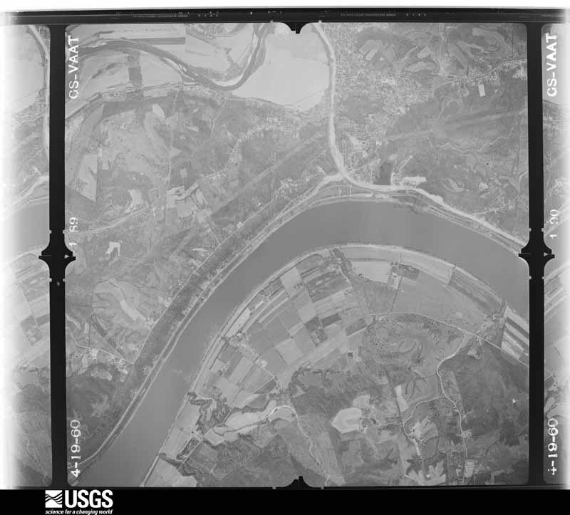
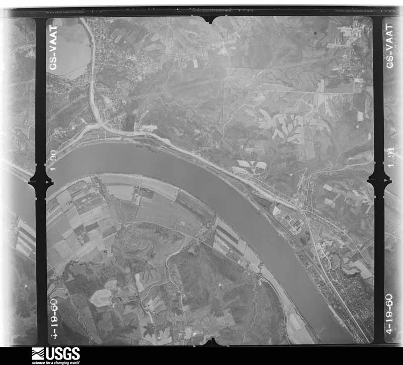
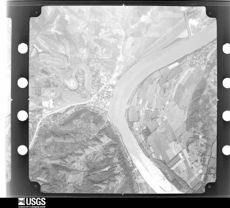
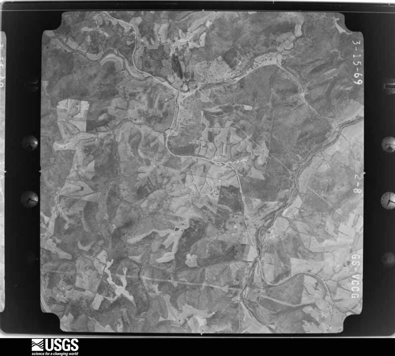
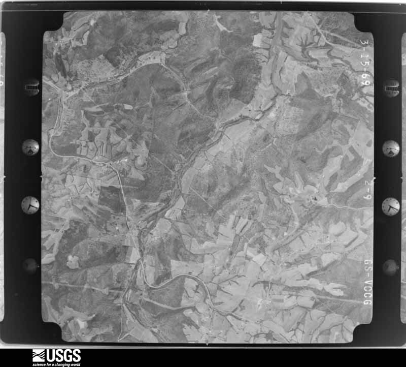
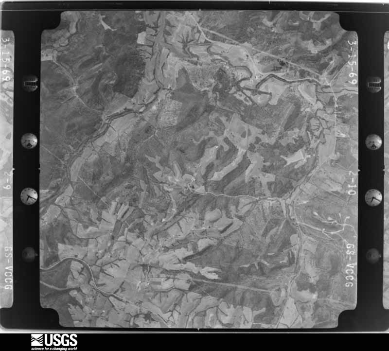
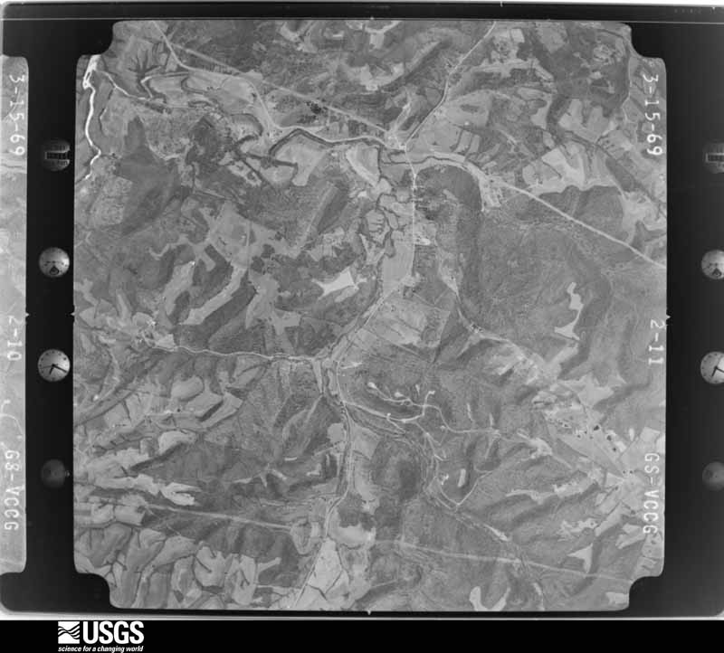
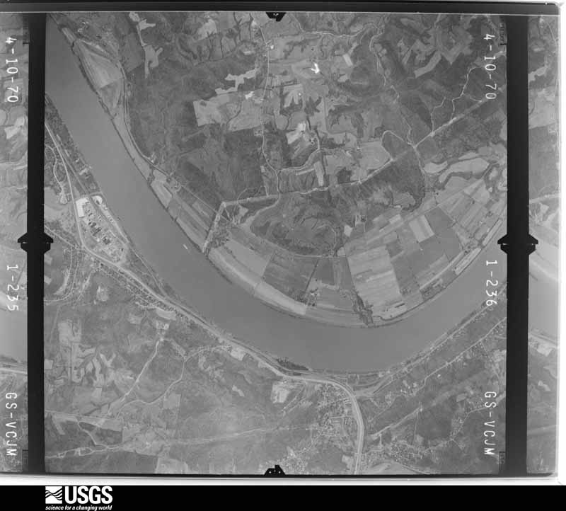
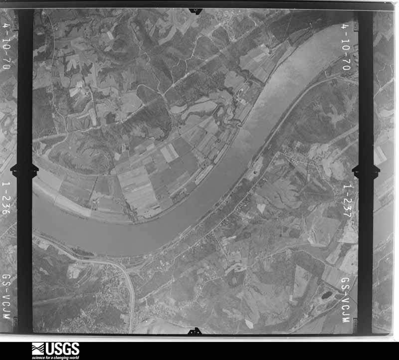
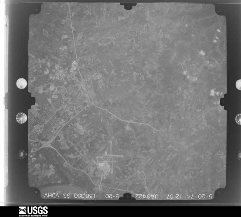
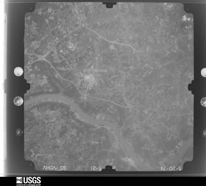
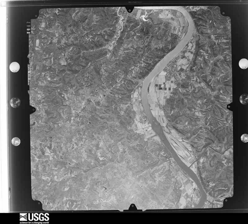
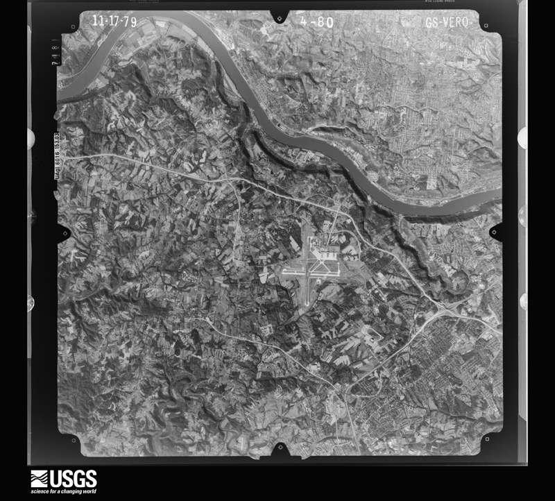
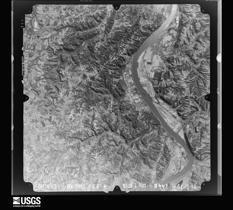
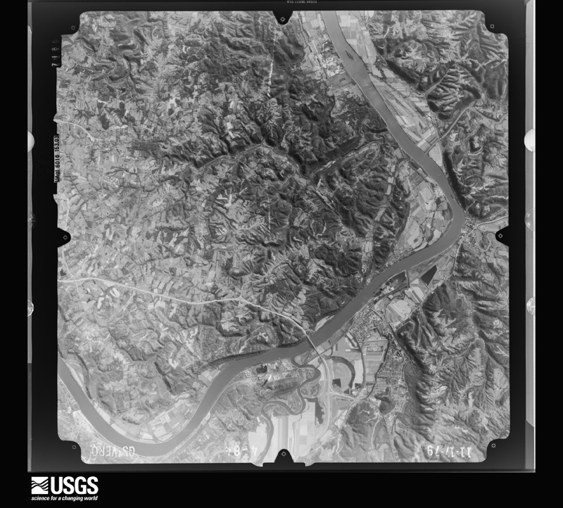
Flown by the U.S. Geological Survey between 1937 and 1989, the Aerial Photo Single Frames collection is the definitive mid-century view of the land: fields, roads and rivers as the camera saw them. The Survey holds 1,165 frames inside the rectangle that bounds this county; the 36 frames below were taken over the county itself, chosen across the decades of flights (at most four a year from that rectangle), so one flight cannot crowd out the rest. The full set is free to browse and download at EarthExplorer under the dataset Aerial Photo Single Frames.









The thermometers that kept this county's weather, and the gages that measured the flow of its streams, as the federal records hold them. The extremes below are measured values from those records, not estimates.
Who lived here in 1950, one enumeration district at a time, as the Census Bureau described each district. Each row opens its official National Archives result, with Population Schedules and ED Maps available there.
Every wildfire the federal occurrence database records inside this county: 2 of them, burning about 25 acres. None started naturally and none was recorded as arson. Each settlement page carries the fires within five miles of it.
| Reported cause | Fires |
|---|---|
| Debris and open burning | 1 |
| Missing data/not specified/undetermined | 1 |
The five largest, by the area the report gives. None of them was recorded as arson.
| Date | Cause | Size | Reported by | Name on the report |
|---|---|---|---|---|
| 30 October 2010 | Missing data/not specified/undetermined | 25 acres | Kentucky Division of Forestry | BIG BONE |
| 26 March 2014 | Debris and open burning | under an acre | Kentucky Division of Forestry | MUD LICK |
Every settlement page carries the fires within five miles of it - see the settlement index below.
The NOAA Storm Events Database holds 380 reports for this county, causing no deaths, 63 injuries and about $10,046,500 in recorded property damage. Each settlement page carries the reports that name it.
| Kind of event | Reports |
|---|---|
| Thunderstorm Wind | 217 |
| Hail | 78 |
| Flash Flood | 38 |
| Flood | 20 |
| Tornado | 16 |
| Heavy Rain | 7 |
| Lightning | 4 |
The most serious of them, by death, then injury, then recorded damage. The accounts are quoted exactly as the forecast office filed them.
| When | Event | Place named | Harm | What the report says |
|---|---|---|---|---|
| April 1974 | Tornado (F5) | not stated | 20 hurt, $2,500,000 | no account filed |
| July 1956 | Tornado (F2) | not stated | 12 hurt, $2,500,000 | no account filed |
| July 1987 | Thunderstorm Wind | not stated | 10 hurt | no account filed |
| March 1986 | Thunderstorm Wind | not stated | 6 hurt | no account filed |
| April 1980 | Tornado (F2) | not stated | 4 hurt, $25,000 | no account filed |
| March 1963 | Tornado (F1) | not stated | 4 hurt, $25,000 | no account filed |
| July 2020 | Lightning | (Cvg)Gtr Cin Arpt | 4 hurt | Four workers were injured from a lightning strike at the Cincinnati Northern Kentucky International Airport. |
| June 1976 | Tornado (F1) | not stated | 1 hurt, $2,500 | no account filed |
| June 1999 | Lightning | Florence | 1 hurt | A child was struck by lightning. |
| March 1985 | Thunderstorm Wind | not stated | 1 hurt | no account filed |
| June 1996 | Flash Flood | Union | $1,000,000 | no account filed |
| July 1996 | Flash Flood | Union | $1,000,000 | no account filed |
| March 2025 | Tornado (EF1) | Burlington | $250,000 | Tornadic damage was first observed west of KY-237 at an industrial site, where a roof was partially removed. The tornado progressed northeast and uprooted multiple trees. The tornado then tracked across Cincinnati/Northern Kentucky International Airport where extensive wall and roof damage was observed to an industrial building. Around a dozen parked cars in a nearby garage were damaged from debris. Finally, additional damage was observed to several trees and HVAC systems on the northeast side of the airport before the tornado dissipated. |
| April 1991 | Tornado (F1) | not stated | $250,000 | no account filed |
| June 1990 | Tornado (F1) | not stated | $250,000 | no account filed |
| April 1977 | Tornado (F1) | not stated | $250,000 | no account filed |
| September 1973 | Tornado (F2) | not stated | $250,000 | no account filed |
| March 2017 | Thunderstorm Wind | Hueys Corner | $200,000 | Numerous hardwood and softwood trees were snapped or uprooted. In addition, damage occurred to the roofs of several homes and businesses. Most roof damage consisted of roofing material fully or partially removed. A few barns and outbuildings were completely destroyed. The damage was consistent with wind speeds of 65 to 85 mph. The damage swath continued east into Kenton County. |
| April 2011 | Thunderstorm Wind | Elsmere | $150,000 | Structural damage occurred to a rest area and semi trucks were blown over due to damaging thunderstorm winds. Three mobile homes were also moved off their foundations in the area. Another home received roof damage and a barn was blown off of its foundation due to the winds. Numerous trees were blown down around the area. |
| May 1996 | Lightning | Florence | $100,000 | no account filed |
| June 2009 | Flash Flood | Bullittsville | $60,000 | Six homes were flooded along Petersburg Road with water also rushing over Petersburg Road. Three structures collapsed in this area. A church was also surrounded by water due to the flash flooding. |
| June 2021 | Tornado (EF1) | Idlewild | $50,000 | The tornado first touched down near a home on Stevens Road in northern Boone County, northwest of Idlewild, causing minor roof damage to the home and damaging trees on the property. About a mile downstream, the tornado struck a barn, removing the roof and collapsing the walls. Numerous trees were also uprooted in the vicinity of the barn. Roofing material was lifted and deposited a considerable distance downstream, with roofing material lying along I-275 almost a half of a mile downstream of the barn. The tornado continued east along I-275 causing sporadic but minor tree damage. Another barn was damaged with partial roof removal on the south side of I-275. Some of this material was carried across I-275 and deposited about a half mile downstream on a nearby golf course. The tornado appears to have lifted in the vicinity of I-275, about a mile west of Exit 8.||There were some gaps in the damage path, indicating the tornado was not in complete and constant contact with the ground. The vast majority of the tree damage indicated wind speeds between 60 and 75 mph, though indications of wind speeds around 90 mph were present with the heavily damaged barn on the south side of I-275. |
| March 2017 | Flash Flood | Petersburg | $50,000 | A car was washed into a creek off of Asby Fork Road. A private bridge was also washed out. |
| July 2001 | Thunderstorm Wind | (Cvg)Gtr Cin Arpt | $50,000 | Thunderstorm winds gusted to 61 mph at the Cincinnati-Northern Kentucky International Airport. Nearly 200 trees were knocked down across the county with this storm. |
| July 1994 | Thunderstorm Wind | not stated | $50,000 | High winds downed trees onto power lines in Belleview. A tree also fell onto a car, no injuries were reported. |
| June 2009 | Hail | Burlington | $30,000 | Nickel diameter hail to 1.75 inch hail was reported. Trees were blown down. A vehicle and gazebo were damaged. Signs were twisted and a warehouse roof collapsed about one mile north of Hebron. |
| April 2006 | Thunderstorm Wind | Richwood | $30,000 | The Richwood Flea Market sustained significant roof and structural damage with part of the roof being blown off. |
| May 2006 | Thunderstorm Wind | Florence | $30,000 | Several barns sustained damage at Turfway Park. Several trees and power poles were downed along State Route 18. |
| August 2004 | Thunderstorm Wind | Hebron | $30,000 | Several homes had portions of their roofs peeled from the strong winds. A number of trees were also knocked down. |
| November 1996 | Thunderstorm Wind | Florence | $30,000 | no account filed |
| April 2002 | Thunderstorm Wind | Countywide | $25,000 | Trees were knocked down across the county. |
| November 2000 | Thunderstorm Wind | Countywide | $25,000 | Trees were knocked down across the county. Roof damage occurred to an apartment building in Burlington. |
| June 1997 | Flash Flood | Countywide | $25,000 | Heavy rainfall caused creeks and streams to rise out of their banks. Numerous roads and a bridge were flooded. |
| July 1984 | Tornado (F0) | not stated | $25,000 | no account filed |
| February 1967 | Tornado (F1) | not stated | $25,000 | no account filed |
| February 1967 | Tornado (F1) | not stated | $25,000 | no account filed |
| March 2025 | Thunderstorm Wind | Burlington | $20,000 | Several tree limbs were snapped and a barn sustained some structural and siding damage as well as some roof damage. |
| June 2022 | Thunderstorm Wind | Sugartit | $20,000 | A barn collapsed. |
| June 2019 | Flash Flood | Constance | $15,000 | A hillside collapsed due to excessive rain along a portion of Licking Pike. |
| March 2017 | Thunderstorm Wind | Hamilton | $15,000 | A roof was blown off a house on Beaver Road. |
| October 2016 | Thunderstorm Wind | Big Bone | $15,000 | Several trees were knocked down, with some minor structural damage at a farm on Big Bone Church Road. |
| March 2002 | Thunderstorm Wind | Walton | $15,000 | Several trees were blown down. A barn and a house were damaged. Two mobile homes at the Speedway were damaged. |
| July 2008 | Thunderstorm Wind | Idlewild | $12,000 | Numerous large trees were either uprooted or downed through the Traditions Golf Club near Hebron. |
| May 2004 | Thunderstorm Wind | Countywide | $12,000 | Numerous trees were knocked down. A building collapsed in Walton. |
| June 2021 | Thunderstorm Wind | Limaburg | $10,000 | Numerous trees were downed in the Hebron and Burlington areas, including along Camp Ernst Road. |
| June 2021 | Thunderstorm Wind | Petersburg | $10,000 | Numerous trees were downed along Petersburg and Belleview Roads. |
| April 2020 | Thunderstorm Wind | Verona | $10,000 | Two barn roofs were blown off and numerous trees were knocked down. |
| April 2020 | Thunderstorm Wind | Hamilton | $10,000 | A barn was damaged and other property damage occurred. |
| September 2018 | Lightning | Hebron | $10,000 | Six different structures caught fire due to lightning strikes. |
| March 2017 | Thunderstorm Wind | Belleview | $10,000 | A house on Kentucky Route 18 sustained damage and several trees were downed. |
| October 2016 | Thunderstorm Wind | Richwood | $10,000 | Power lines were toppled due to strong winds, leaving hundreds without power. |
| October 2016 | Flash Flood | Sugartit | $10,000 | Water was reported flowing into a basement on Blacksmith Place in Florence. |
| October 2016 | Thunderstorm Wind | Richwood | $10,000 | One large tree was knocked down across railroad tracks near Richwood. Also, a light pole was blown down at a truck stop near Interstate 71/75. |
| April 2014 | Thunderstorm Wind | Richwood | $10,000 | A tree was downed on Old Richwood Road and another across Route 25 near Maher Road due to thunderstorm winds. Minor structural damage occurred to an industrial building near Route 25. |
| April 2011 | Thunderstorm Wind | Sugartit | $10,000 | Tractor trailers were blown over due to damaging thunderstorm winds. |
| July 2008 | Thunderstorm Wind | Burlington | $10,000 | A few structures sustained minor damage. |
| June 2008 | Flash Flood | Sugartit | $10,000 | A bridge on Gunpowder Road was flooded. High water closed several roads, and a few homes had their basements flooded. |
| August 2008 | Thunderstorm Wind | Rabbit Hash | $10,000 | Numerous trees were downed along Riddles Run and Ryle Roads near Rabbit Hash. Some of the trees fell on vehicles, causing minor damage. |
| December 2006 | Thunderstorm Wind | Beaverlick | $10,000 | Trees were downed across the county. |
| January 2000 | Flash Flood | Countywide | $10,000 | Heavy rainfall caused roads to flood across the county. Also, several homes were flooded. |
The Survey's mineral resources record lists 7 workings inside this county. 6 still produce and 1 is closed or unrecorded. Each settlement page carries the workings within five miles of it.
| Commodity | Workings |
|---|---|
| Sand and Gravel, Construction | 6 |
| Stone, Crushed/Broken | 1 |
The least common of them first, because a county's hundredth gravel pit says nothing its first ten did not.
| Where | Site | Commodity | Status | Recorded |
|---|---|---|---|---|
| Constance Yard | Stone, Crushed/Broken | Producer | ||
| Belleview Plant Pit | Sand and Gravel, Construction | Producer | ||
| Burlington Sand | Sand and Gravel, Construction | Producer | ||
| D & M Gravel Co. | Sand and Gravel, Construction | Producer | ||
| D & M Mine | Sand and Gravel, Construction | Past Producer | ||
| Petersburg Mine | Sand and Gravel, Construction | Producer | ||
| Taylorsport Mine | Sand and Gravel, Construction | Producer |
Named settlements recorded in the Geographic Names Information System, each with the topographic sheets covering it. Villages, hamlets and abandoned places alike. Each is shown with the nearest named watercourse or landform and the survey quadrangle it falls on. The 1 place that was also surveyed for fire insurance comes first, with the number of atlases and photographs held for them.
Walton census division · 41094 · Independence quadrangle
11 sheets, 1950 to 1986
Fire insurance: 3 atlases
Walton census division · 41094 · On McCoys Fork · Union quadrangle
11 sheets, 1950 to 1986
Burlington census division · 41005 · On Willoughby Creek · Rising Sun quadrangle
12 sheets, 1943 to 1986
Walton census division · 41091 · On Gum Branch · Rising Sun quadrangle
12 sheets, 1943 to 1986
Hebron census division · 41048 · Near Bullitts Bottom · Hooven quadrangle
20 sheets, 1915 to 1996
No longer a settlement
Burlington census division · 41005 · Lawrenceburg quadrangle
16 sheets, 1915 to 1986
Hebron census division · 41048 · On Elijahs Creek · Burlington quadrangle
20 sheets, 1914 to 1986
Walton census division · 41091 · On Landing Creek · Rising Sun quadrangle
12 sheets, 1943 to 1986
Burlington census division · 41005 · On Willoughby Creek · Rising Sun quadrangle
12 sheets, 1943 to 1986
Florence census division · 41042 · On South Fork Gunpowder Creek · Union quadrangle
11 sheets, 1950 to 1986
Burlington census division · 41080 · On Taylor Creek · Lawrenceburg quadrangle
16 sheets, 1915 to 1986
Burlington census division · 41005 · On DeHart Creek · Rising Sun quadrangle
12 sheets, 1943 to 1986
Hebron census division · 41048 · On Elijahs Creek · Burlington quadrangle
20 sheets, 1914 to 1986
The vanished settlements of Boone County: the places named above that are no longer on the map.
11 topographic sheets and 3 fire insurance atlases, 1921 to 1927
The complete index, with nothing left out. Each of these is a separate record with its own page: a federal survey report, or the case file that argued a property on to the National Register. Both are public domain and reproduced word for word.
The vanished settlements of Boone County, the places these records name that are no longer on the map.