 Block
Richwood, Kentucky
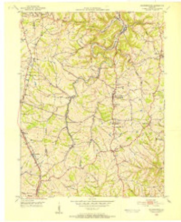
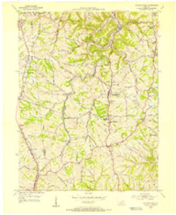
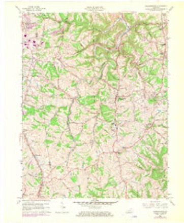
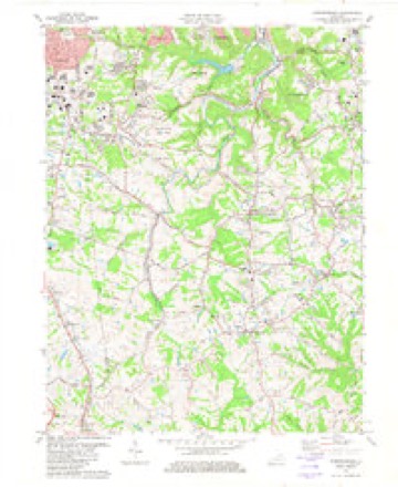
11 topographic sheets cover this place, the earliest surveyed in 1950 and the latest in 1986. It stands in the Walton census division. It lies in ZIP code area 41094. The Survey maps it on the Union quadrangle.
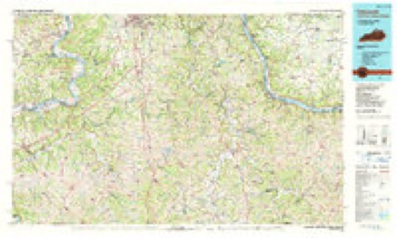
Topographic sheets covering this place
7 surveys from 11 printed sheetsMatched by testing this settlement's coordinate against the published boundary of every sheet in the United States Geological Survey's historical collection. Each opens the scanned sheet at the Survey.
- 1950 USGS Independence quadrangle1:24000
- 1955 USGS Independence quadrangle1:24000
- 1956 USGS Louisville quadrangle1:250000, 2 printings
- 1961 USGS Independence quadrangle1:24000, 2 printings
- 1964 USGS Louisville quadrangle1:250000
- 1981 USGS Independence quadrangle1:24000, 2 printings
- 1986 USGS Falmouth quadrangle1:100000, 2 printings


Storms near this place
18 since 2002Regional context, not property-specific evidence. The National Weather Service names Richwood in 18 storm reports between 2002 and 2025: 10 thunderstorm wind, 3 heavy rain, 3 flood, 1 flash flood. No death or injury is recorded in these reports. Each account below is quoted exactly as the forecast office filed it, from the NOAA Storm Events Database, and each date opens the federal record of that event.
| When | Event | Place named | Harm | What the report says |
|---|---|---|---|---|
| April 2006 | Thunderstorm Wind | Richwood | $30,000 | The Richwood Flea Market sustained significant roof and structural damage with part of the roof being blown off. |
| October 2016 | Thunderstorm Wind | Richwood | $10,000 | Power lines were toppled due to strong winds, leaving hundreds without power. |
| October 2016 | Thunderstorm Wind | Richwood | $10,000 | One large tree was knocked down across railroad tracks near Richwood. Also, a light pole was blown down at a truck stop near Interstate 71/75. |
| April 2014 | Thunderstorm Wind | Richwood | $10,000 | A tree was downed on Old Richwood Road and another across Route 25 near Maher Road due to thunderstorm winds. Minor structural damage occurred to an industrial building near Route 25. |
| October 2016 | Thunderstorm Wind | Richwood | $3,000 | Several trees were knocked down near Foinavon Lane. |
| June 2008 | Hail | Richwood | $3,000 | Large tree limbs were also downed. Winds were estimated near 60 mph. |
| May 2002 | Flash Flood | Richwood | $2,000 | Route 338 was covered by water. |
| June 2020 | Thunderstorm Wind | Richwood | $1,000 | A tree was knocked down. |
| July 2015 | Thunderstorm Wind | Richwood | $1,000 | A large tree was downed, blocking the roadway near the intersection of Hicks Pike and Richwood Church Road. |
| April 2014 | Thunderstorm Wind | Richwood | $1,000 | Two trees were downed on Chambers Road due to thunderstorm winds. |
| June 2010 | Thunderstorm Wind | Richwood | $1,000 | Trees were reported down due to damaging thunderstorm winds. |
| June 2008 | Thunderstorm Wind | Richwood | $1,000 | A 65 mph gust was estimated along Interstates 71 and 75 between Mount Zion and Richwood. |
| April 2025 | Flood | Richwood | - | High water was reported on Richwood Road near Richwood Church Road. |
| April 2025 | Flood | Richwood | - | High water was reported on Richwood Road near Hicks Road. |
| February 2021 | Flood | Richwood | - | Multiple road closures were reported throughout the county due to high water, including near the intersection of Richwood Road and Richwood Church Road. |
| April 2014 | Heavy Rain | Richwood | - | Six inches of standing water was reported over Richwood Road at Hicks Pike. |
| July 2013 | Heavy Rain | Richwood | - | Richwood Road at Richwood Church Road was impassible due to about 6 to 8 inches of water over the road due to heavy rainfall. |
| July 2013 | Heavy Rain | Richwood | - | Six to eight inches of water was reported over Triple Crown Boulevard due to heavy rainfall. |
Nearest settlements
The eight closest, with where each one stands in the county. Distances are straight-line, computed from the Geographic Names Information System coordinates.
| Map | Place | Distance | Sheets |
|---|---|---|---|
| Kensington | 1.3 miles | 11 | |
| Walton | 3.2 miles | 11 | |
| Devon | 3.4 miles | 11 | |
| Union | 3.4 miles | 11 | |
| Sugartit | 4.1 miles | 11 | |
| Beaverlick | 4.7 miles | 11 | |
| Hueys Corners | 5.2 miles | 11 | |
| Florence | 5.4 miles | 11 |
Elsewhere
Matched on this settlement's Geographic Names Information System number rather than its name, so it cannot be a different place of the same name in another state.
| Wikipedia article on Richwood | An encyclopaedic summary. Its text is share-alike, so it is linked here rather than copied. |
| Wikidata item Q30587823 | The structured record the population and elevation above come from. Public domain (CC0). |
Provenance
This settlement is recorded in the Geographic Names Information System as feature 501829. The sheet list is computed by point-in-boundary test against the United States Geological Survey's historical topographic inventory. Both are works of the United States government and carry no copyright under 17 U.S.C. 105.
Storms. NOAA National Centers for Environmental Information, Storm Events Database https://www.ncei.noaa.gov/stormevents/ A work of the United States government, no copyright under 17 U.S.C. 105. Narratives are quoted verbatim from the National Weather Service report and are not edited or summarised.