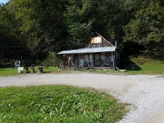
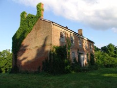
Block
From the record
99 National Register listings published here, 3 of them National Historic Landmarks.
Sources: the National Register database, National Park Service
25 topographic sheets and 12 fire insurance atlases across 2 places.
99 National Register listings published here, 3 of them National Historic Landmarks.
Sources: the National Register database, National Park Service
Taken for the Office of War Information and the Farm Security Administration, who photographed the country between 1935 and 1944. Works of United States government photographers, with no known restriction on use. Each opens its catalogue record.
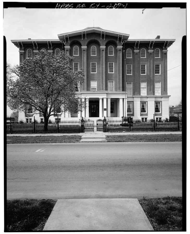
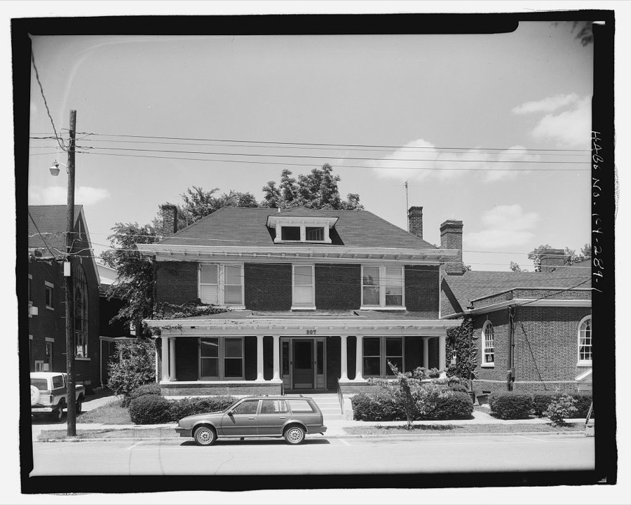
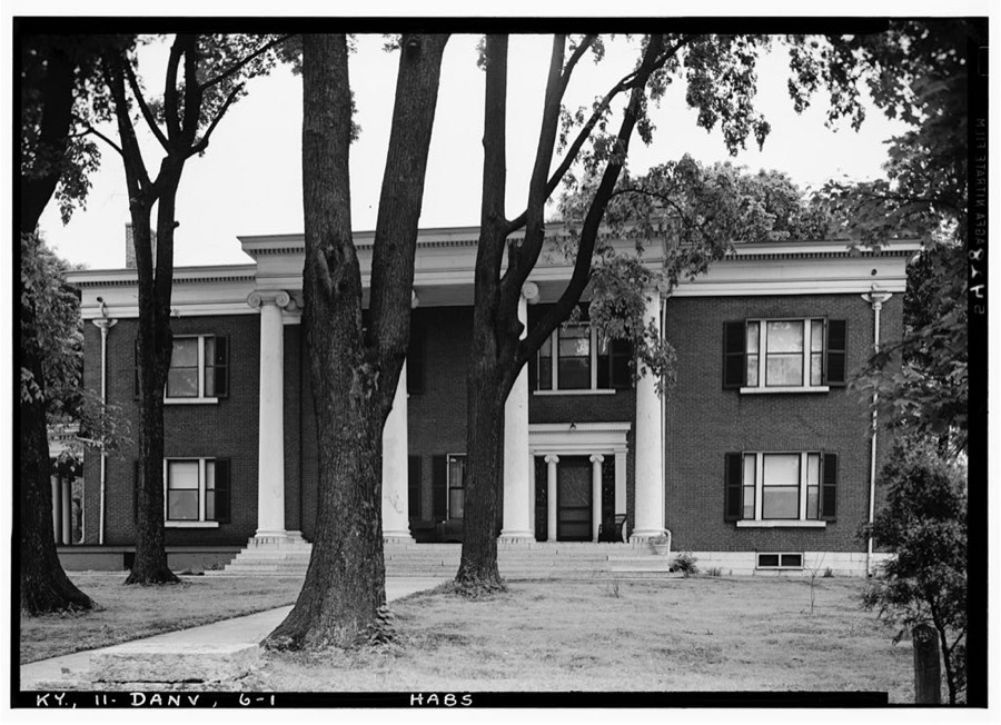
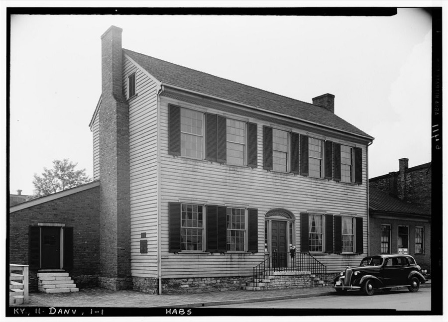
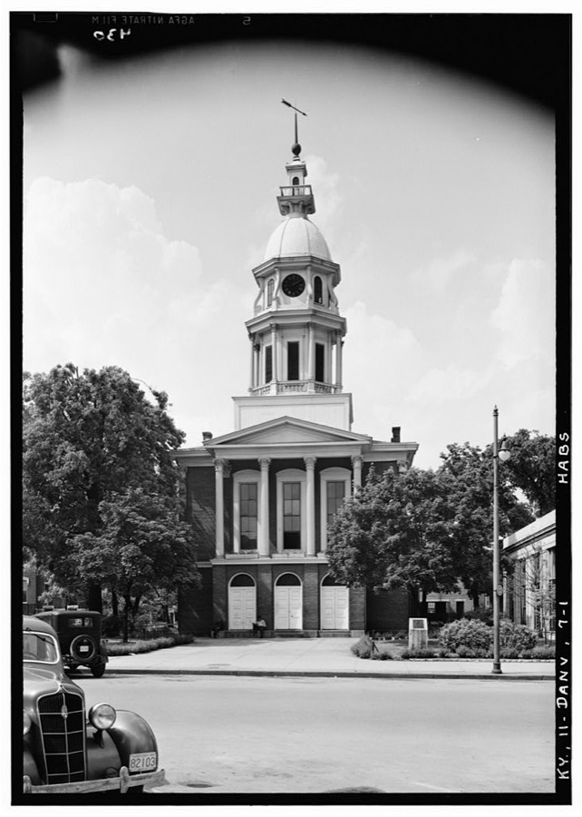
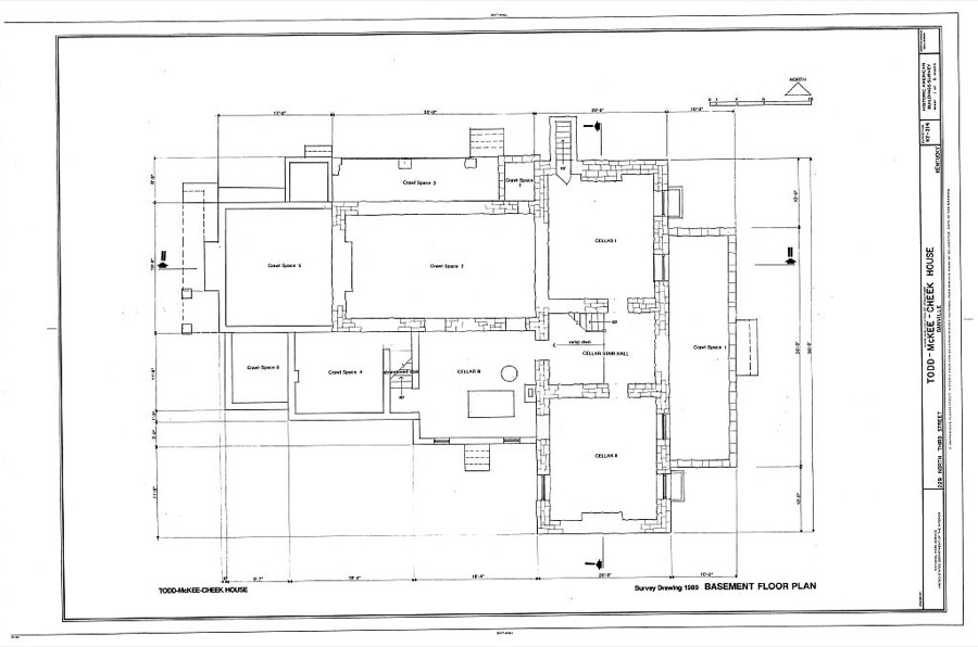
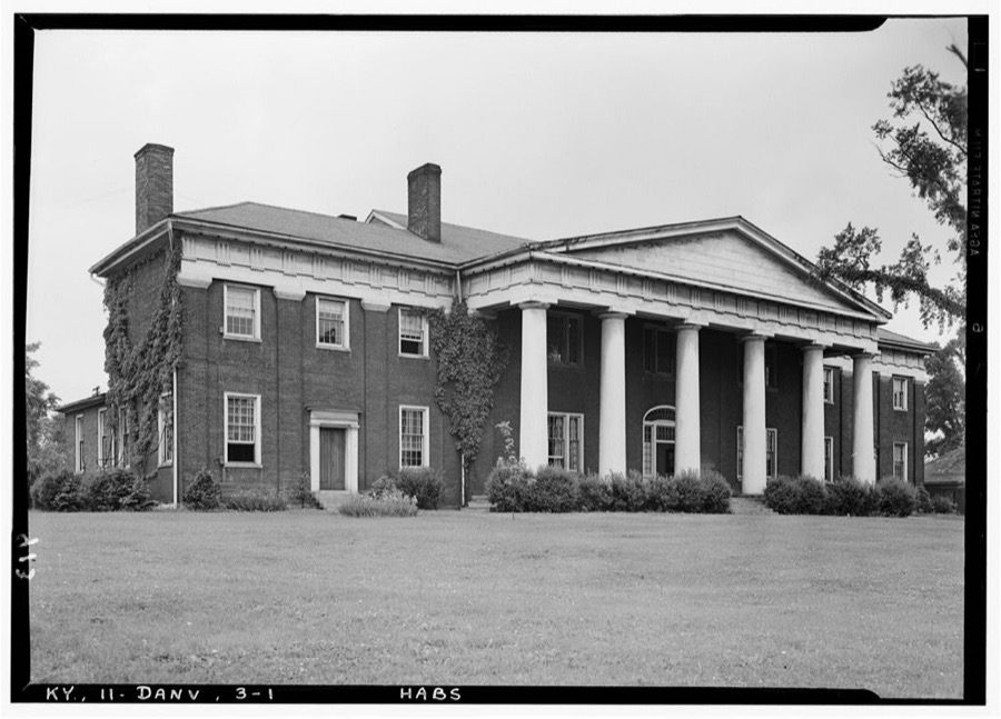
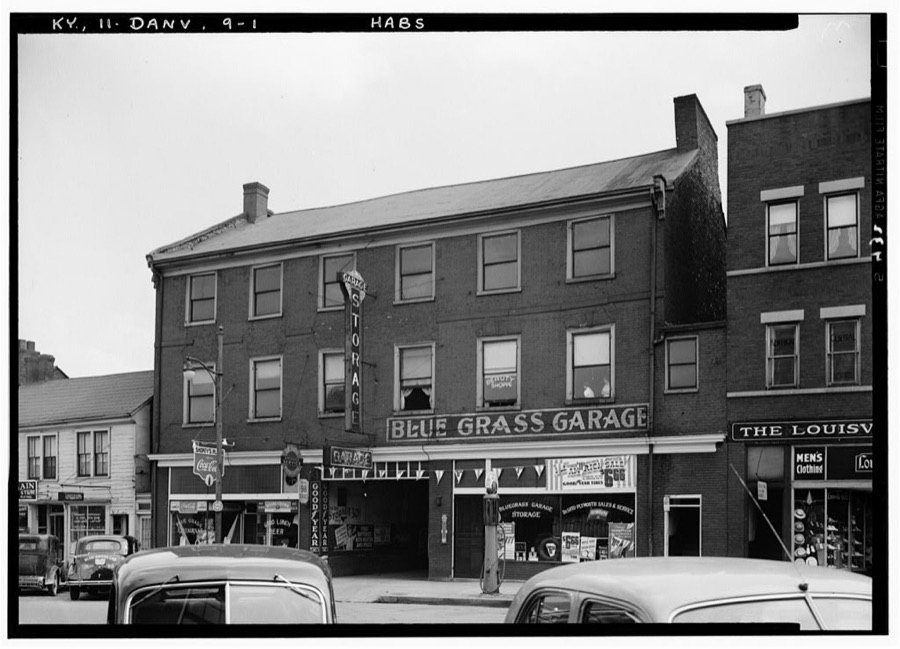
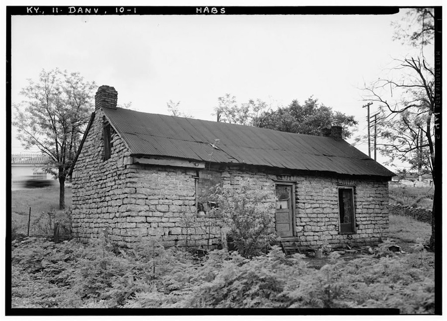
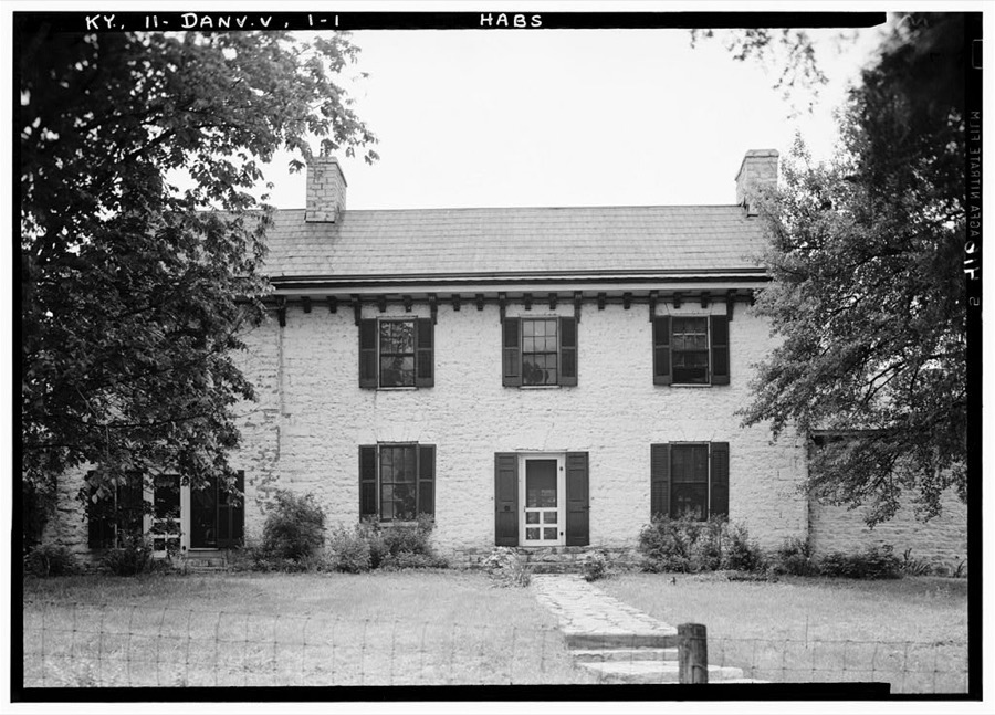
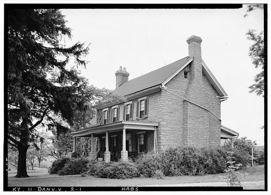
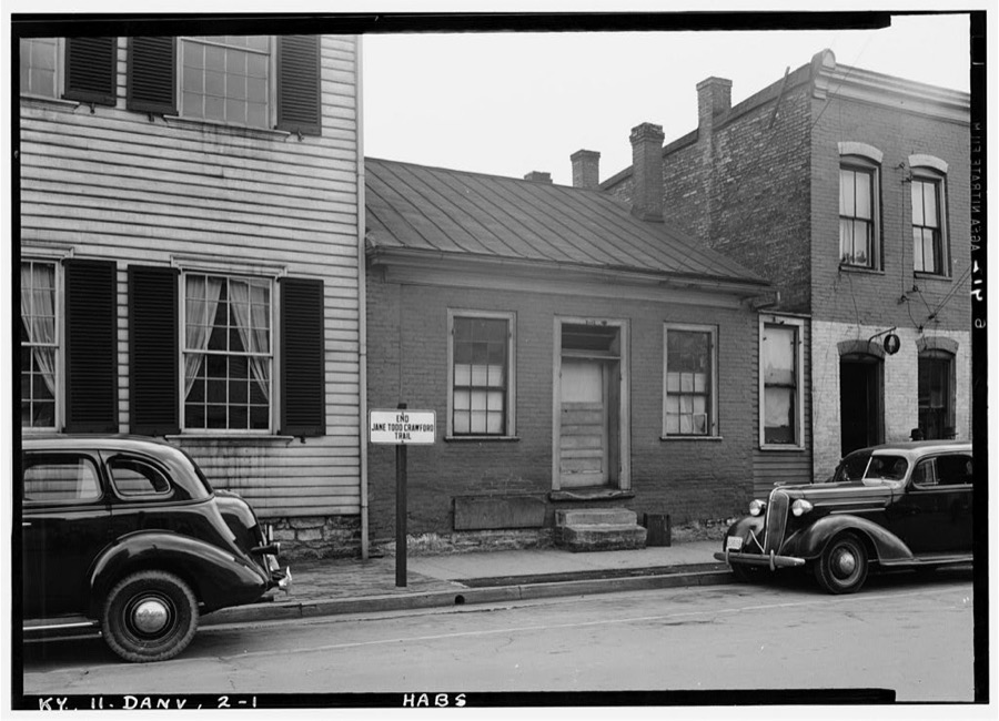
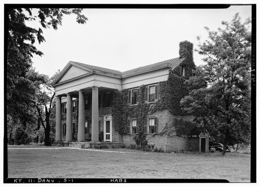
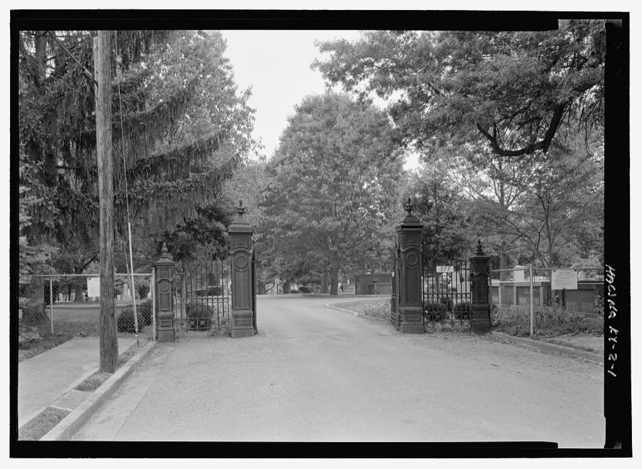
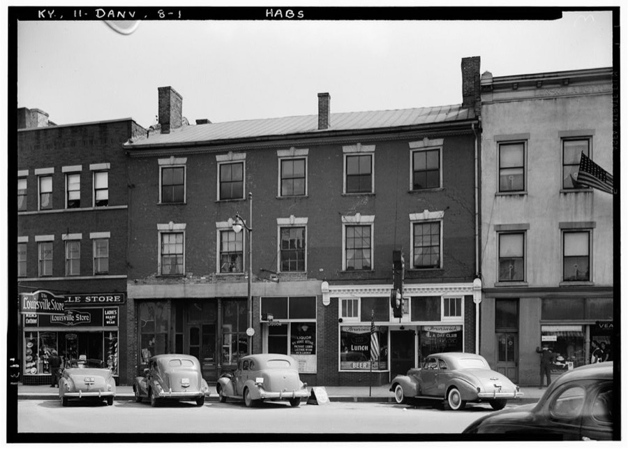
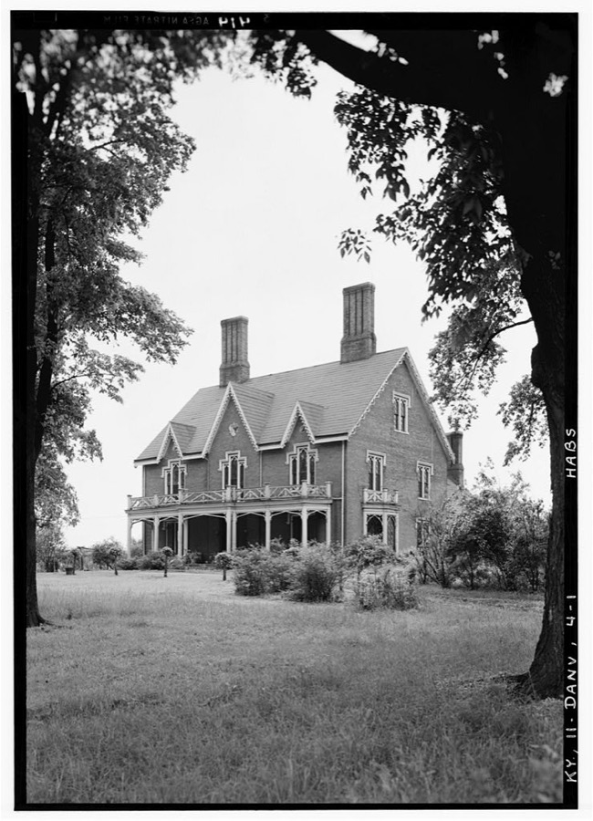
Every property in this county listed on the National Register of Historic Places, with the year it was listed and the federal nomination document.
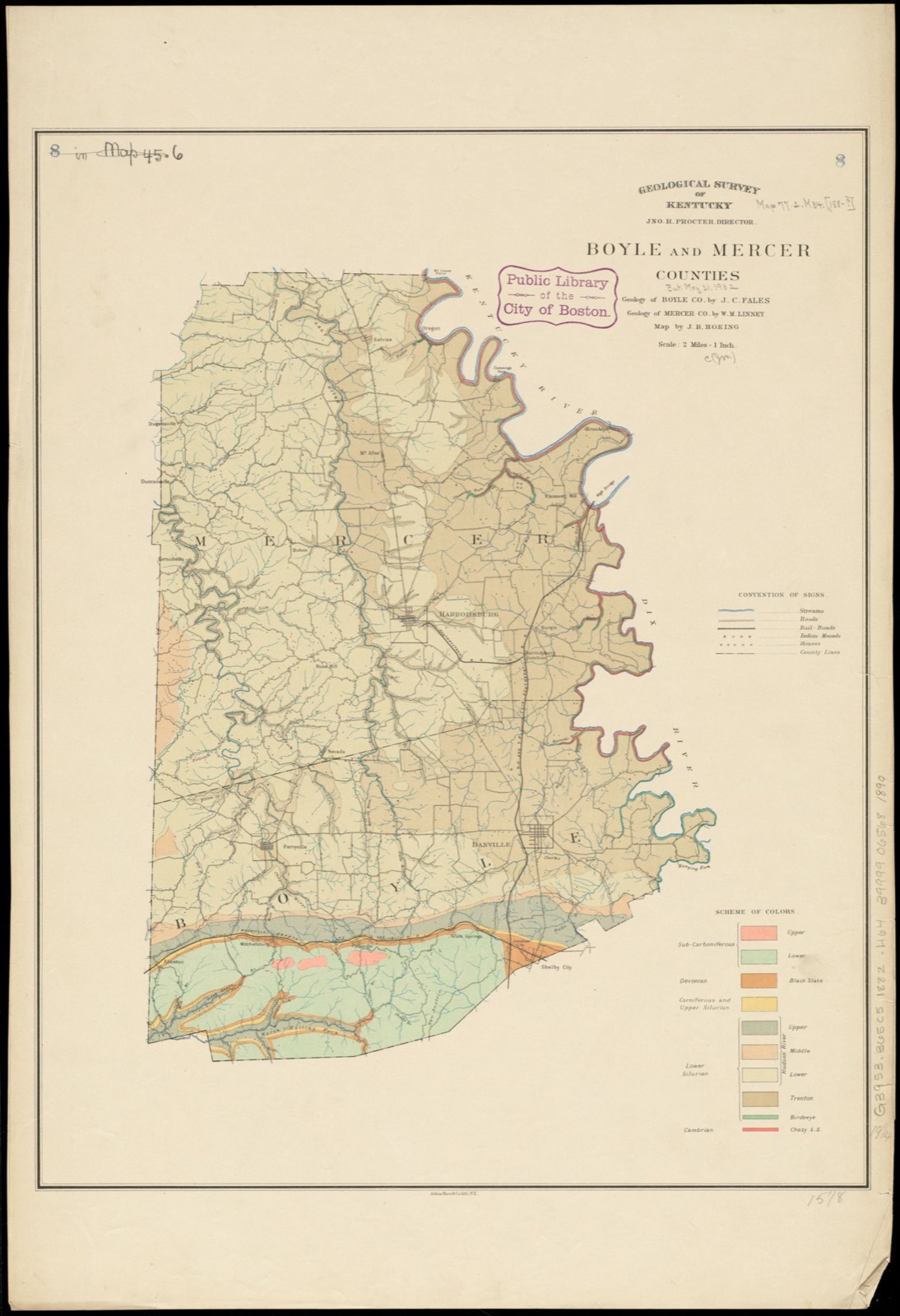
Drawn when these were printed as single large sheets: the town seen from the air, and the county divided into its farms with every owner named. Each opens the original at the Library of Congress.
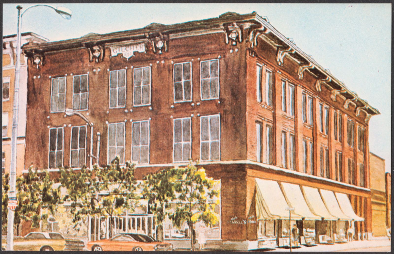
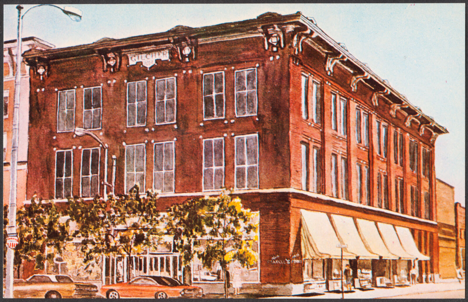
Selected from the Digital Public Library of America's 4 image records catalogued for this county. Every one shown here carries a public-domain status or a licence that permits reuse on a site that carries advertising; non-commercial, share-alike and restricted images are excluded. The selection is spread across the county's towns (at most eight per town), so no single institution's bulk upload crowds out the rest. Each opens the holding library's record, and the complete set at the Digital Public Library of America is one click away.
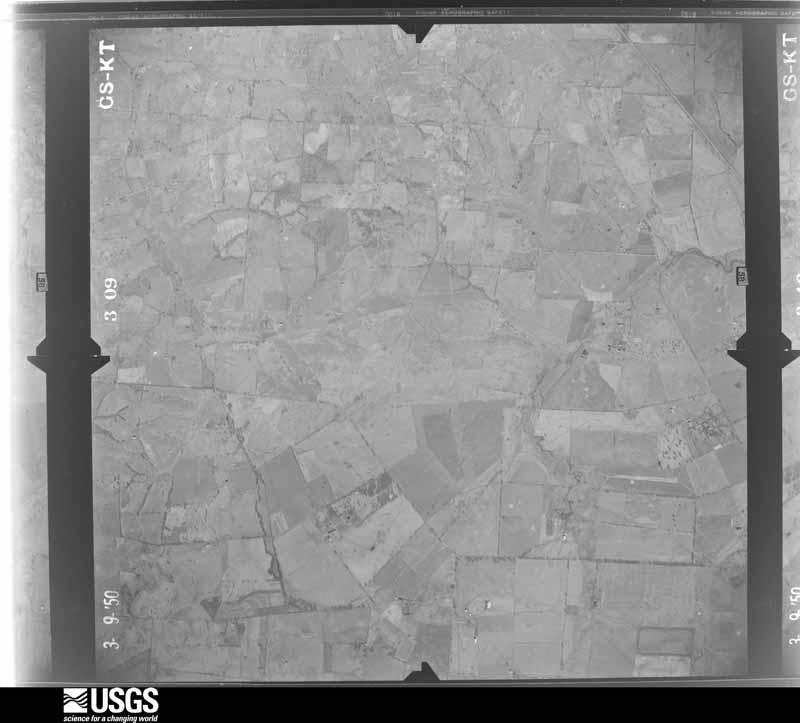
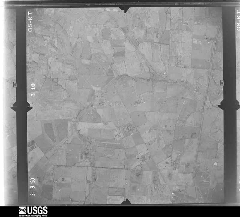
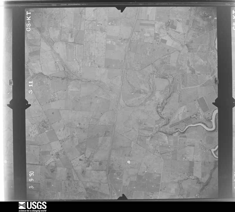
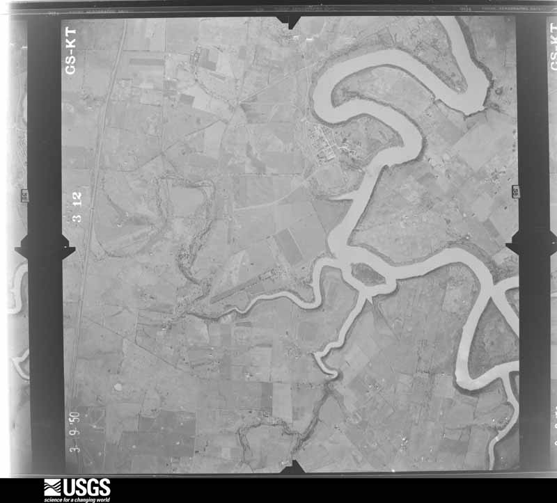
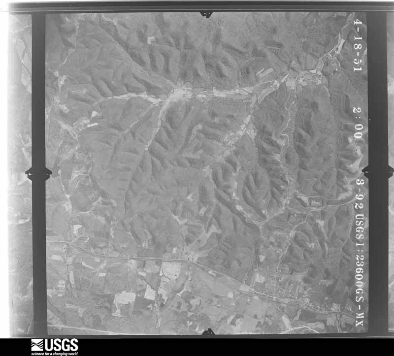
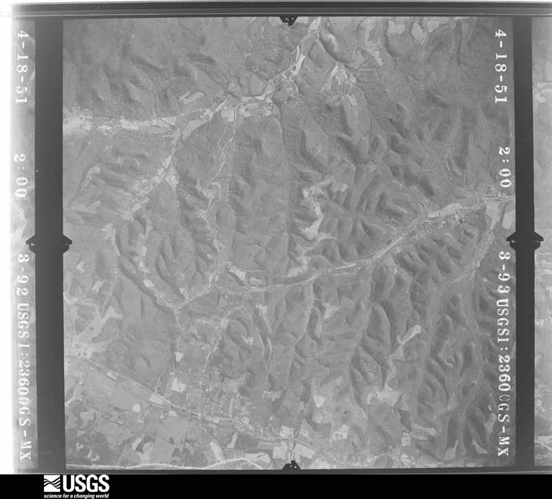
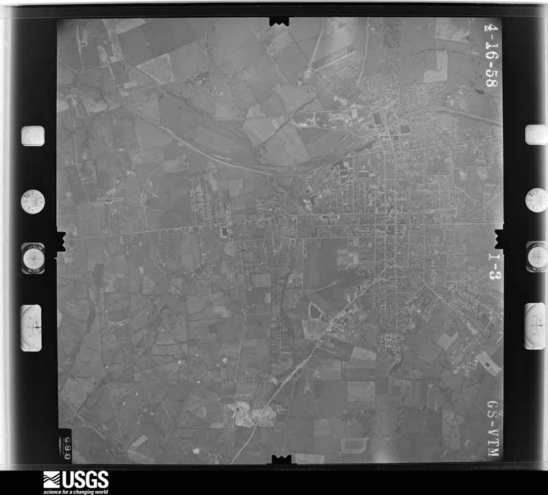
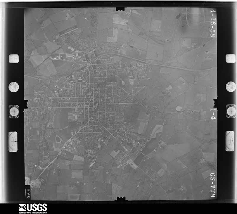
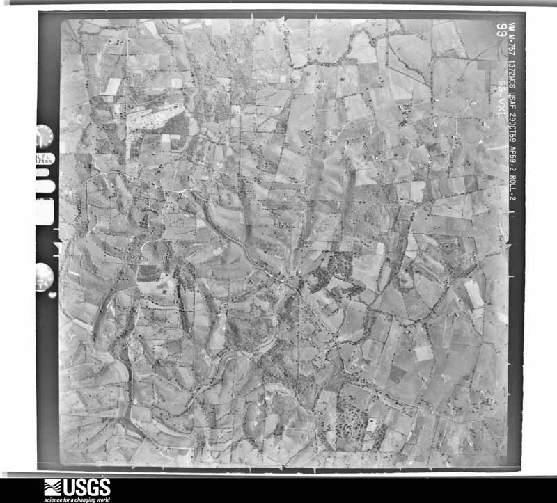
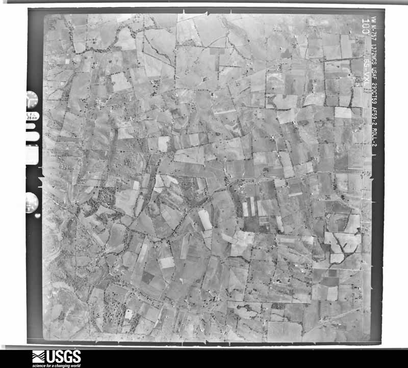
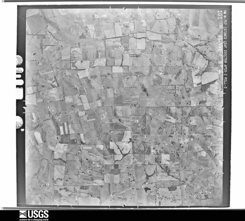
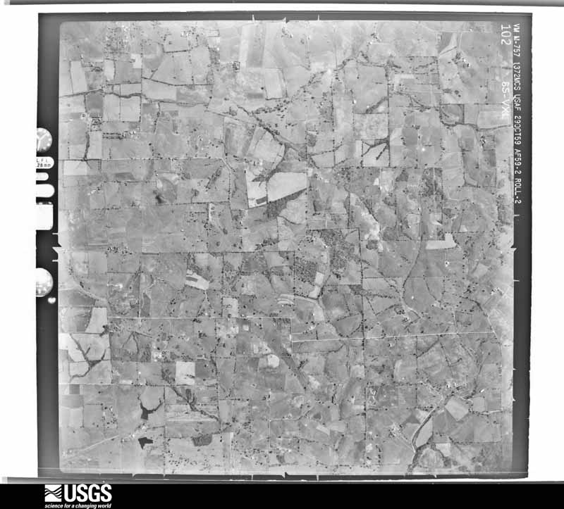
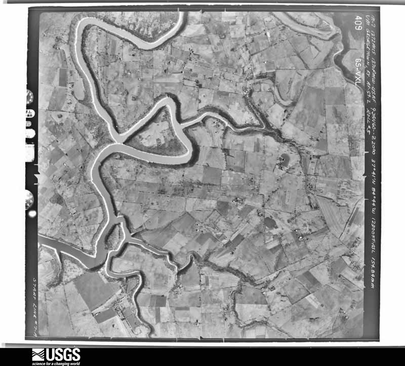
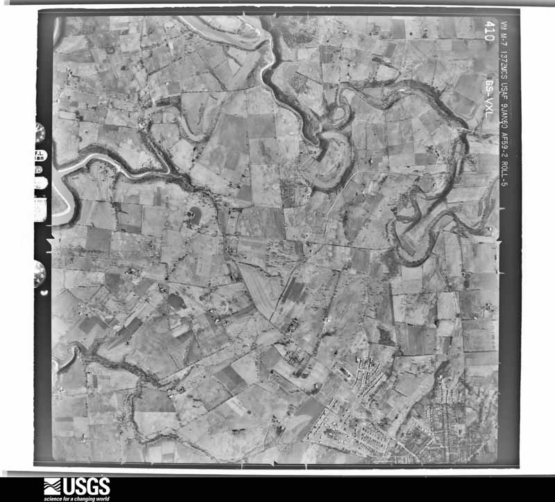
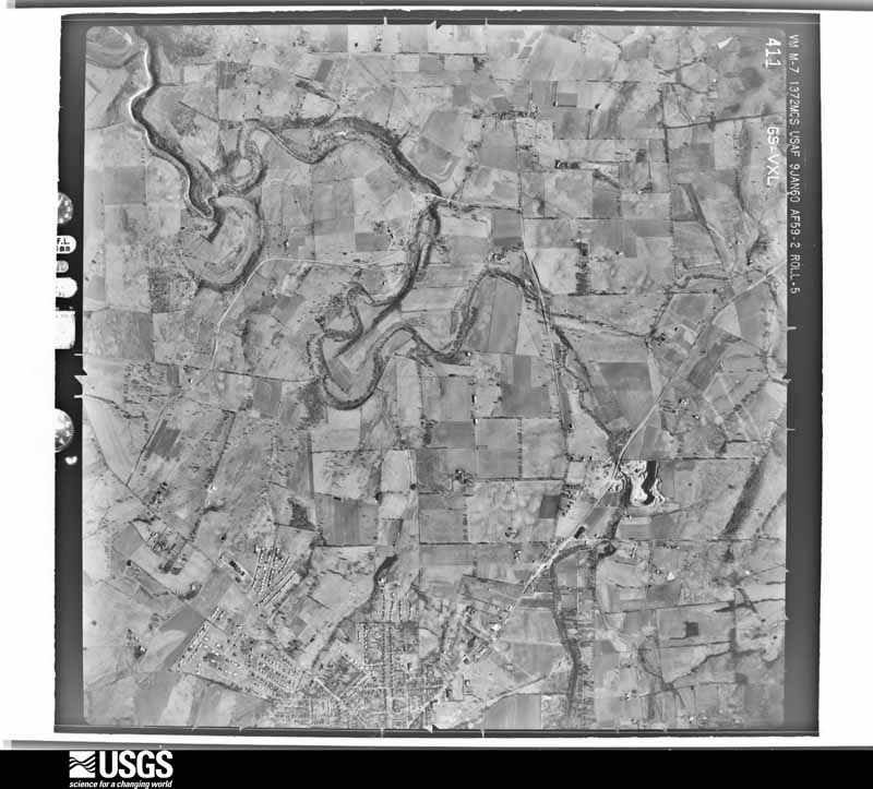
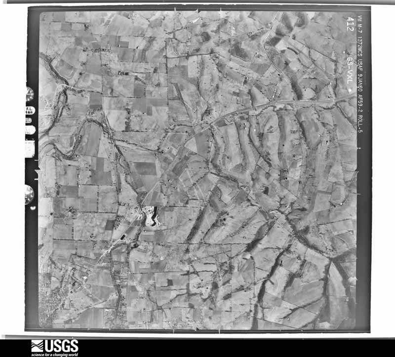
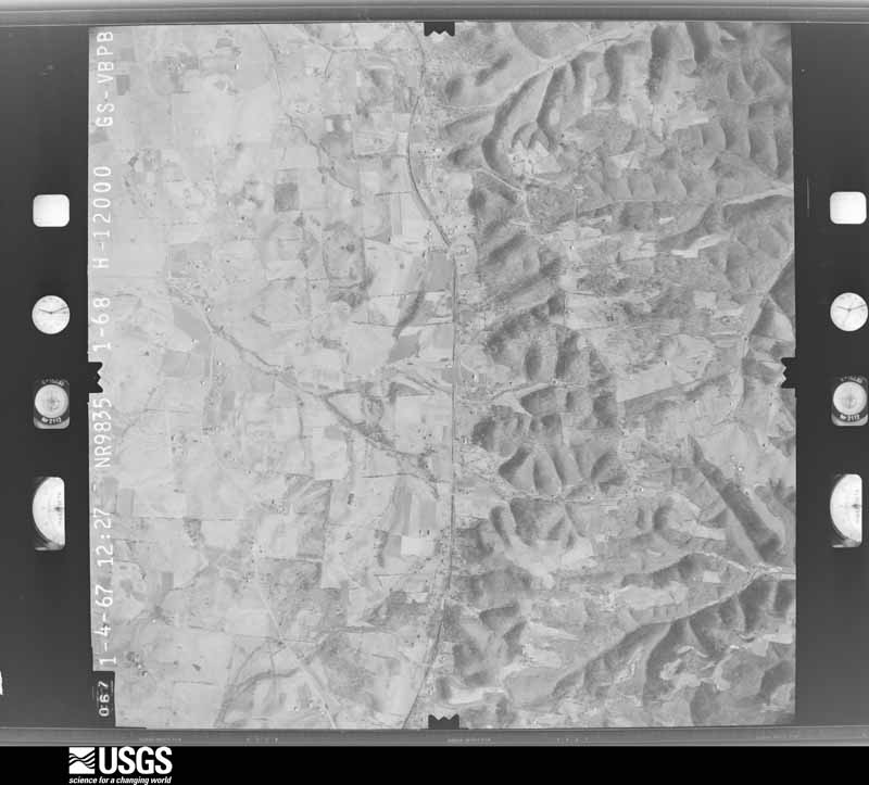
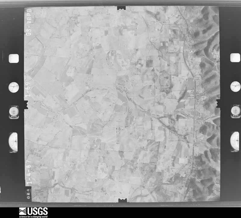
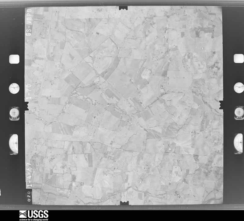
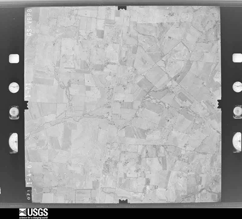
Flown by the U.S. Geological Survey between 1937 and 1989, the Aerial Photo Single Frames collection is the definitive mid-century view of the land: fields, roads and rivers as the camera saw them. The Survey holds 372 frames inside the rectangle that bounds this county; the 26 frames below were taken over the county itself, chosen across the decades of flights (at most four a year from that rectangle), so one flight cannot crowd out the rest. The full set is free to browse and download at EarthExplorer under the dataset Aerial Photo Single Frames.
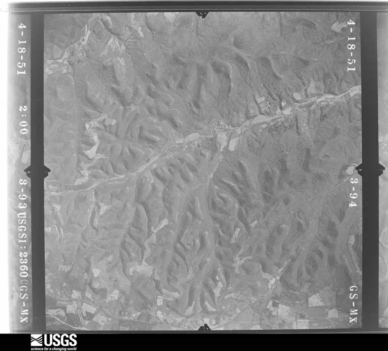
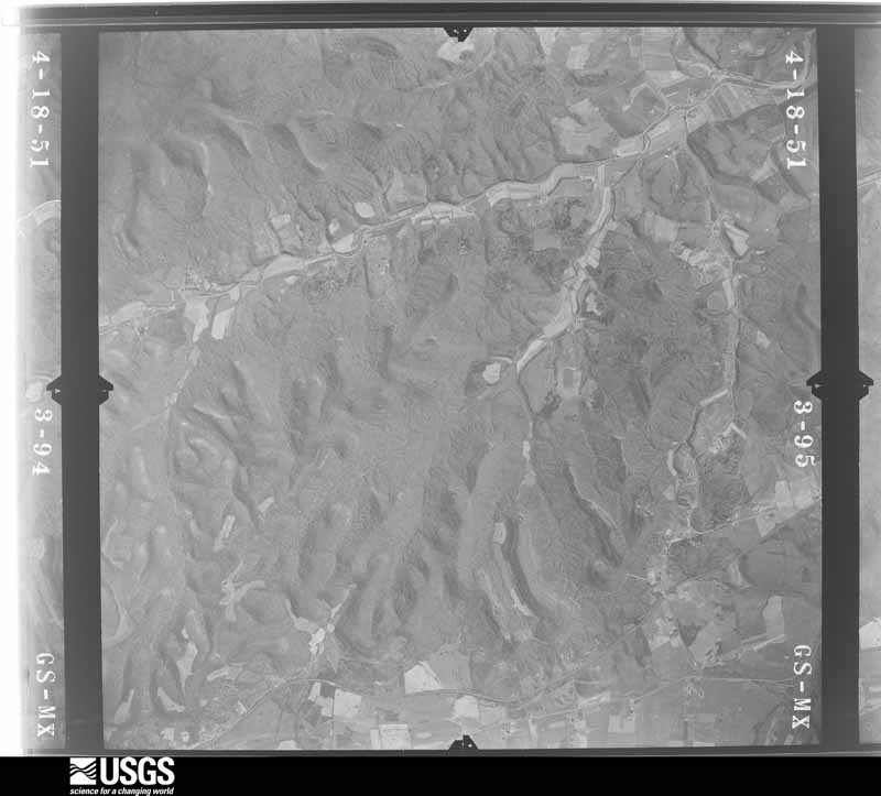
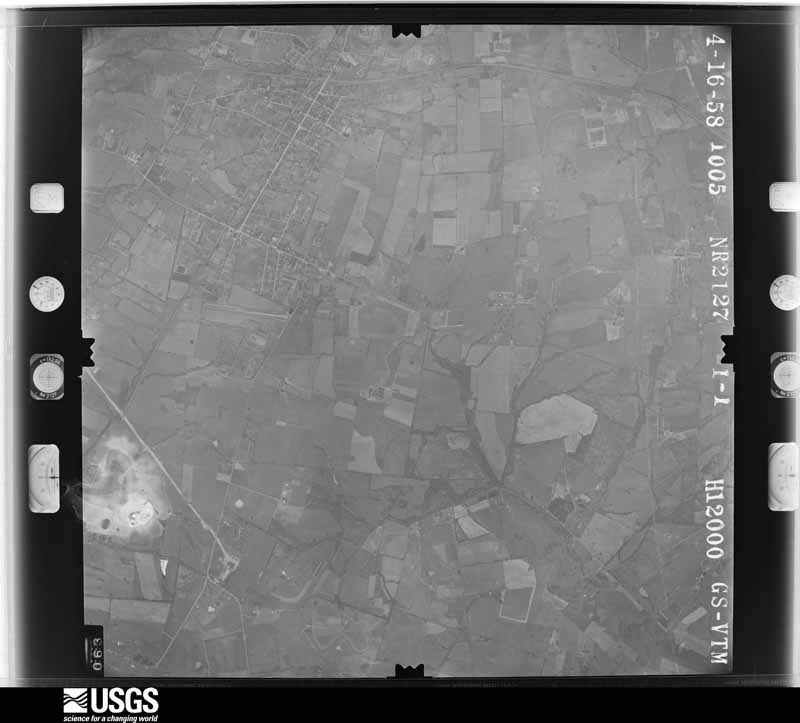
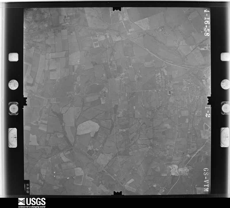


The thermometers that kept this county's weather, and the gages that measured the flow of its streams, as the federal records hold them. The extremes below are measured values from those records, not estimates.
Who lived here in 1950, one enumeration district at a time, as the Census Bureau described each district. Each row opens its official National Archives result, with Population Schedules and ED Maps available there.
Every wildfire the federal occurrence database records inside this county: 7 of them, burning about 58 acres. None started naturally and 1 was recorded as arson. Each settlement page carries the fires within five miles of it.
| Reported cause | Fires |
|---|---|
| Recreation and ceremony | 2 |
| Missing data/not specified/undetermined | 2 |
| Equipment and vehicle use | 1 |
| Arson/incendiarism | 1 |
| Misuse of fire by a minor | 1 |
The five largest, by the area the report gives. One of them was set deliberately.
| Date | Cause | Size | Reported by | Name on the report |
|---|---|---|---|---|
| 29 November 1998 | Misuse of fire by a minor | 30 acres | Kentucky Division of Forestry | not named |
| 22 September 2019 | Missing data/not specified/undetermined | 10 acres | Kentucky Division of Forestry | REYNOLDS HOLLOW |
| 8 January 2013 | Recreation and ceremony | 8.0 acres | Kentucky Division of Forestry | SCRUBGRASS |
| 25 November 2006 | Missing data/not specified/undetermined | 5.0 acres | Kentucky Division of Forestry | not named |
| 16 February 1999 | Equipment and vehicle use | 2.0 acres | Kentucky Division of Forestry | not named |
| 16 November 1999 | Arson/incendiarism | 2.0 acres | Kentucky Division of Forestry | not named |
| 24 September 2008 | Recreation and ceremony | 1.0 acres | Kentucky Division of Forestry | not named |
Every settlement page carries the fires within five miles of it - see the settlement index below.
The NOAA Storm Events Database holds 177 reports for this county, causing 1 death, 45 injuries and about $1,899,000 in recorded property damage. Each settlement page carries the reports that name it.
| Kind of event | Reports |
|---|---|
| Thunderstorm Wind | 101 |
| Hail | 39 |
| Flash Flood | 18 |
| Tornado | 12 |
| Flood | 5 |
| Lightning | 1 |
| Heavy Rain | 1 |
The most serious of them, by death, then injury, then recorded damage. The accounts are quoted exactly as the forecast office filed them.
| When | Event | Place named | Harm | What the report says |
|---|---|---|---|---|
| April 1974 | Tornado (F3) | not stated | 1 killed, 33 hurt | no account filed |
| April 1974 | Tornado (F2) | not stated | 10 hurt, $250,000 | no account filed |
| May 1990 | Thunderstorm Wind | not stated | 2 hurt | no account filed |
| July 1996 | Flash Flood | Countywide | $500,000 | no account filed |
| April 2018 | Tornado (EF1) | West Needmore | $250,000 | A small tornado touched down from a supercell thunderstorm on top of a tall hill along Highway 1822 and quickly destroyed one large barn used to store hay, severely damaging another medium sized barn, and destroyed fencing. The tornado did some damage to a grain silo along with some tree damage. An antique horse sled was picked up and moved about 10 feet. ||The tornado briefly lifted in a valley before striking a residence on the east side of Highway 1822 and lifting the roof off a family residence. Insulation from the roof was thrown eastward and also rotated back and covered the back of the house. ||Further east on Webster Rd, another one story family residence sustained significant roof, gutter, and siding damage. The owners hoop barn was pushed in violently. There were pine trees snapped. ||The NWS would like to thank emergency management director Mike Wilder as well as Garrard County ARES director Jim Boyd for their assistance. |
| April 1976 | Tornado (F1) | not stated | $250,000 | no account filed |
| May 1971 | Tornado (F1) | not stated | $250,000 | no account filed |
| April 2015 | Hail | Wells Lndg | $80,000 | Tennis ball size hail fell on the north side of Danville, as reported by the public. |
| May 1995 | Hail | not stated | $50,000 | Golf ball-size hail reported by Danville Department of Emergency Service. Several homes and cars damaged. |
| March 1997 | Thunderstorm Wind | Danville | $50,000 | no account filed |
| April 2017 | Thunderstorm Wind | Wells Lndg | $30,000 | The Boyle County emergency manager reported trees and power lines down at Highway 34 and Taylor Road. |
| July 2016 | Thunderstorm Wind | Perryville | $25,000 | Local media reported several trees and power lines down across the county. |
| May 2010 | Flash Flood | Perryville | $25,000 | There were numerous reports of flooded and closed roads countywide. Five homes were evacuated due to rising water in a subdivision of Perryville. |
| July 1980 | Tornado (F1) | not stated | $25,000 | no account filed |
| July 2018 | Flash Flood | Junction City | $20,000 | One family had to be evacuated from a home due to flooding in Junction City. The flood waters receded quickly after the rain ended. |
| April 2015 | Flood | Junction City | $20,000 | The public reported that several mobile homes were flooded. |
| May 2009 | Flash Flood | Perryville | $20,000 | Many roads in Perryville are impassable. |
| June 2018 | Thunderstorm Wind | Junction City | $15,000 | There was a report of a power line down on White Oak Road and extremely high water in the area as well. |
| June 2013 | Thunderstorm Wind | Danville | $15,000 | Local law enforcement noted that a tree fell on two homes in Danville. Nearby, a couple of minutes later, a spotter observed marble sized hail and numerous small limbs down along Silvercreek Drive. |
| December 2013 | Thunderstorm Wind | Danville | $10,000 | The Boyle County emergency manager reported several trees and power lines downed across Danville. |
| January 2010 | Lightning | Alum Spgs | $5,000 | The time of occurrence is estimated; the fire department arrived on the scene approximately 630 PM. Lightning struck several hundred yards from three homes near the 5500 block of Lebanon Road. The lightning followed an underground phone line into the homes, carving a trench as it traveled through the ground, and blowing out large sections of driveway. It also damaged a buried water line. The homes themselves suffered only minor, if any, damage, and there were no injuries. |
| March 1993 | Thunderstorm Wind | not stated | $5,000 | Several trees and power lines were blown down. |
| June 2013 | Thunderstorm Wind | Danville | $2,000 | The local emergency manager reported trees and power lines down across Danville. |
| June 2013 | Flood | Craintown | $2,000 | State highway 68, located 2 miles northeast of Gravel Switch, was closed for 45 minutes with around one half foot of water over the road. |
| May 2025 | Tornado (EF1) | Craintown | - | An NWS damage survey team determined that an EF2 tornado with peak winds of 125 mph, maximum width of 450 yards, and track length of 5.55 miles initially touched down on the morning of Friday, May 30th in southeastern Washington County, Kentucky.||As the tornado crossed into Boyle County, some hardwoods were noted to be snapped north of Cocanougher Road,|and again in a grove of trees north of White Road. The final |damage point was noted along Battlefield Road about 1.25 miles NNW|of Perryville, were some hardwoods were uprooted and softwoods |were snapped. From here the tornado lifted. |
| June 2025 | Flood | Little Needmore | - | Flooding was reported along East Lexington Avenue in Danville. |
| February 2024 | Thunderstorm Wind | Baugham Hgts | - | There was a tree down near US 150. |
| May 2024 | Thunderstorm Wind | East Needmore | - | A trained spotter estimated 60 mph wind gusts east of Danville. |
| August 2024 | Thunderstorm Wind | Perryville | - | There were trees down on the 4500 block of Webster Road. |
| August 2024 | Thunderstorm Wind | Mitchellsburg | - | There were several trees down near the intersection of Mitchellsburg Road and Harberson Lane. There were also trees down on Bakers Lane, around the 9700 and 10300 block of Lebanon Road, and on Scrubgrass Road. |
| January 2023 | Tornado (EF1) | Wells Lndg | - | The National Weather Service in Louisville conducted a storm damage survey in Boyle County for storms that rolled through during the mid-morning hours on January 12th. The survey team determined the damage was consistent with an EF1 tornado with maximum winds of 95 mph.||The initial touchdown occurred near the intersection of Tibbs Lane and Waterworks Road. A large, well-built garage sustained significant roof and side wall damage with a west side uplift of the foundation of the garage. The garage debris was thrown up to 150 yards to the east with portions of two-by-fours being driven into the ground. There were several trees topped, snapped, and uprooted facing from the north to the southeast. An owner of one of the homes was on his back porch and saw the tornado, and went into his basement. After some time, he came outside and two of his back porch support beams were bent and twisted. Winds in this area were determined to be 90 mph.||Aerial photography from a drone showed significant tree damage along Waterworks Road all the way to the Dix River. The drone showed that many trees were topped and/or twisted, and they were facing a northeasterly to southeasterly direction. At 2140 Waterworks Road, the worst damage occurred, with significant tree damage all around a well-built house that did not have any damage. At the back of the house, two very large hardwood trees were uprooted right next to each other, creating an enormous crater. Most significantly, one tree was facing due east and the other northeast. Additionally, a fairly well-built barn lost several roof panels. The owners of the house described a fifteen second deafening noise, with pine cones hitting their house from multiple directions. Winds at this house were estimated at 95 mph.||Drone photography showed the tree damage ended at the Dix River, but the survey team went across to the other side of the river to Taylor Road and Stoney Point Road in Garrard County, and no damage was found at all. |
| February 2022 | Thunderstorm Wind | West Needmore | - | A tree was down near the intersection of Parksville Cross Pike and Webster Road. |
| July 2021 | Flash Flood | Gwinn Is | - | Flooding was reported along the south end of Danville Road. |
| July 2021 | Flash Flood | Perryville | - | Water was over the roadway at Harrodsburg Road and Claunch Road. |
| December 2021 | Tornado (EF1) | Clifton | - | This tornado formed approximately 2 miles north of Clifton near Kings Ridge Road and tracked northeast for approximately 0.9 miles before crossing into northern Garrard County. The tornado continued approximately 2.1 miles into Garrard County before dissipating at 0411 EST. In Boyle County, The tornado began near the Old Bridge Golf Club where trees were uprooted and branches were broken. Then, the tornado crossed Herrington Lake into Garrard County. |
| June 2021 | Thunderstorm Wind | Perryville | - | A tree was down on North Bragg Street at First Street. |
| December 2021 | Tornado (EF1) | Danville Goodall Arp | - | This tornado formed approximately 2.9 miles east northeast of Danville Goodall Airport near Chrisman Lane and tracked northeast for approximately 5.2 miles before crossing into western Garrard County. The tornado continued approximately 1.9 miles into Garrard County before dissipating at 0411 EST. In Boyle County, The tornado began on the northeast side of Highway 150 near the Boyle/Lincoln County line where a barn outbuilding had severe roof damage. The tornado continued to the northeast along Chrisman Lane where barns had roof uplift damage. After the tornado moved past Cooks Loop, damage continued on the other side of Chrisman Lane where a barn received roof damage. There was extensive tree damage, with trees being uprooted or snapped along Chrisman Lane near Chrisman Circle. The tornado then continued along mostly rural portions near the Boyle and Lincoln County Lines. To the east northeast of Hedgeville, several barns and homes in this area had major roof damage along Lancaster Road. The tornado continued with tree damage along Rankin Road before crossing into Garrard County. |
| December 2021 | Tornado (EF2) | Shelby City | - | The tornado began near Danville-Boyle County Airport along Simpson Lane in Junction City. Roof damage occurred in this neighborhood, and then the tornado continued toward the airport. Three hangar buildings were destroyed and several aircraft were mangled and heavily damaged. The tornado then crossed Airport Road to the northeast where a home had the roof completely destroyed and a nearby barn was severely damaged. After this point northeast of the airport the tornado did not produce noticeable damage in nearby farm fields. |
| December 2021 | Tornado (EF1) | Danville | - | The tornado began near Morning Pointe of Danville along Perryville Road just south of Millennium Park, where significant roof damage occurred to a church and a gas station. Several trees were also uprooted and snapped at this location. The tornado continued through neighborhoods along West Lexington Avenue where tree and roof damage occurred. The tornado continued to produce tree and roof damage to homes between Caldwell Manor and Bellvue Cemetery before crossing Highway 2168. The tornado continued near Waterworks Road with destruction of a barn and roof damage to a residence nearby,. No damage was observed beyond Waterworks Road. |
| December 2021 | Thunderstorm Wind | Alum Spgs | - | Trees were reported down on Yates Road near Highway 300. The dispatcher also reported that there was high water in the area. |
| December 2021 | Thunderstorm Wind | Danville | - | A tree was reported down near the intersection of High Street and Fifth Street. |
| December 2021 | Thunderstorm Wind | Parksville | - | Trees were reported down on Tank Pond Road. |
| April 2020 | Thunderstorm Wind | Danville | - | Broadcast media relayed a video of a tree down near Danville. |
| July 2020 | Thunderstorm Wind | Mitchellsburg | - | Dispatch reported a tree down along Mitchellsburg Road. |
| August 2020 | Thunderstorm Wind | Perryville | - | A tree fell down and was covering the road. |
| August 2020 | Thunderstorm Wind | Mitchellsburg | - | A tree was down on Mitchellsburg Knob Road. |
| August 2020 | Thunderstorm Wind | Perryville | - | A tree was uprooted and covering US 68. |
| June 2020 | Flash Flood | Perryville | - | Smith Street was closed and impassable between first and third streets due to high water. |
| June 2020 | Flash Flood | Perryville | - | Mitchellsburg Road was impassable due to flooding. |
| July 2019 | Thunderstorm Wind | Danville | - | The media reported that trees were down in Danville. |
| November 2019 | Flash Flood | Baugham Hgts | - | Several roads in the county were closed due to high water. |
| June 2019 | Thunderstorm Wind | Perryville | - | Several trees were reported down in Perryville. |
| April 2018 | Thunderstorm Wind | Wilsonville | - | The Boyle County KY Mesonet site recorded a gust of 59 mph. |
| June 2018 | Flash Flood | Perryville | - | The Boyle County Emergency Manager reported streets flooded along the Chaplin River in Perryville. |
| May 2018 | Flash Flood | Mitchellsburg | - | Mitchellburg Road was closed due to high water. |
| May 2018 | Flash Flood | Perryville | - | Chaplin River was out of its banks and flowing over roadways in Perryville. |
| July 2018 | Heavy Rain | West Needmore | - | The Emergency Manager reported that 3 inches fell in 1.5 - 2 hours. |
| April 2017 | Hail | Junction City | - | Trained spotters reported hail up to ping pong size which covered the ground in Junction City. |
| June 2016 | Thunderstorm Wind | Mitchellsburg | - | State officials reported trees down in the area due to severe thunderstorm winds. |
| May 2016 | Thunderstorm Wind | Aliceton | - | The department of highways reported trees down on Wards Branch Road. |
The Survey's mineral resources record lists 4 workings inside this county. 1 still produces and 3 are closed or unrecorded. Each settlement page carries the workings within five miles of it.
| Commodity | Workings |
|---|---|
| Barium-Barite | 2 |
| Zinc | 1 |
| Fluorine-Fluorite | 1 |
| Clay | 1 |
| Stone, Crushed/Broken | 1 |
The least common of them first, because a county's hundredth gravel pit says nothing its first ten did not.
| Where | Site | Commodity | Status | Recorded |
|---|---|---|---|---|
| Danville Mine | Stone, Crushed/Broken | Producer | ||
| Hayden Vein | Barium-Barite, Zinc | Past Producer | Barite, Sphalerite | |
| Highway 1363 Roadcut | Clay | Prospect | ||
| Sandidge Veins | Barium-Barite, Fluorine-Fluorite | Past Producer | Barite, Fluorite |
Named settlements recorded in the Geographic Names Information System, each with the topographic sheets covering it. Villages, hamlets and abandoned places alike. Each is shown with the nearest named watercourse or landform and the survey quadrangle it falls on. The 2 places that were also surveyed for fire insurance come first, with the number of atlases and photographs held for them.
Danville census division · 40422 · Danville quadrangle
14 sheets, 1905 to 1991
Fire insurance: 8 atlases
Junction City census division · 40440 · Junction City quadrangle
11 sheets, 1905 to 1991
Fire insurance: 4 atlases
Perryville census division · 40328 · On Hot Water Creek · Gravel Switch quadrangle
6 sheets, 1953 to 1981
Junction City census division · 40422 · Near Persimmon Knob · Junction City quadrangle
11 sheets, 1905 to 1991
Perryville census division · 40468 · Near Peach Orchard Ridge · Parksville quadrangle
10 sheets, 1905 to 1991
Danville census division · 40422 · On Clarks Run · Bryantsville quadrangle
13 sheets, 1905 to 1991
Danville census division · 40422 · On Balls Branch · Bryantsville quadrangle
13 sheets, 1905 to 1991
No longer a settlement
Danville census division · 40422 · Bryantsville quadrangle
13 sheets, 1905 to 1991
No longer a settlement
Perryville census division · 40328 · On Curtis Branch · Parksville quadrangle
10 sheets, 1905 to 1991
Danville census division · 40422 · Danville quadrangle
14 sheets, 1905 to 1991
No longer a settlement
Danville census division · 40422 · On Balls Branch · Danville quadrangle
14 sheets, 1905 to 1991
No longer a settlement
Danville census division · 40422 · Danville quadrangle
14 sheets, 1905 to 1991
No longer a settlement
Danville census division · 40422 · On Clarks Run · Bryantsville quadrangle
13 sheets, 1905 to 1991
Danville census division · 40422 · On Spears Creek · Bryantsville quadrangle
13 sheets, 1905 to 1991
No longer a settlement
Perryville census division · 40464 · Near Pittman Hill · Parksville quadrangle
10 sheets, 1905 to 1991
Danville census division · 40422 · On Quirks Run · Perryville quadrangle
11 sheets, 1905 to 1991
Perryville census division · 40422 · On Parksville Knob · Parksville quadrangle
10 sheets, 1905 to 1991
Perryville census division · 40468 · On Hopes Creek · Perryville quadrangle
11 sheets, 1905 to 1991
Junction City census division · 40422 · Junction City quadrangle
11 sheets, 1905 to 1991
Perryville census division · 40468 · On Bull Run · Perryville quadrangle
11 sheets, 1905 to 1991
No longer a settlement
Junction City census division · 40422 · Near Tennessee Ridge · Parksville quadrangle
10 sheets, 1905 to 1991
The vanished settlements of Boyle County: the places named above that are no longer on the map.
14 topographic sheets and 8 fire insurance atlases, 1886 to 1946
11 topographic sheets and 4 fire insurance atlases, 1908 to 1929
The complete index, with nothing left out. Each of these is a separate record with its own page: a federal survey report, or the case file that argued a property on to the National Register. Both are public domain and reproduced word for word.
The vanished settlements of Boyle County, the places these records name that are no longer on the map.