Block
From the record
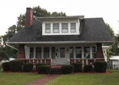
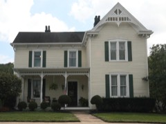
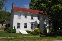
23 National Register listings published here.
Sources: the National Register database, National Park Service
40 topographic sheets and 11 fire insurance atlases across 2 places.
23 National Register listings published here.
Sources: the National Register database, National Park Service
Taken for the Office of War Information and the Farm Security Administration, who photographed the country between 1935 and 1944. Works of United States government photographers, with no known restriction on use. Each opens its catalogue record.
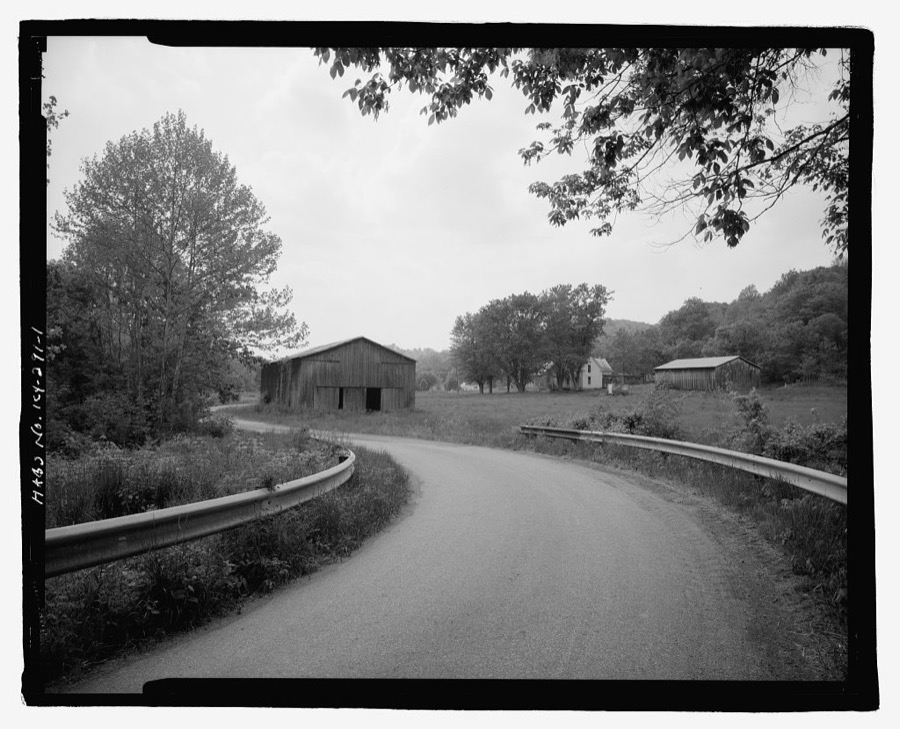
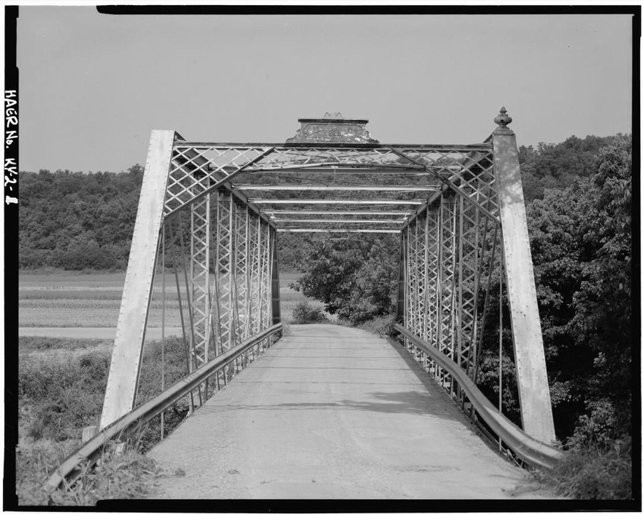
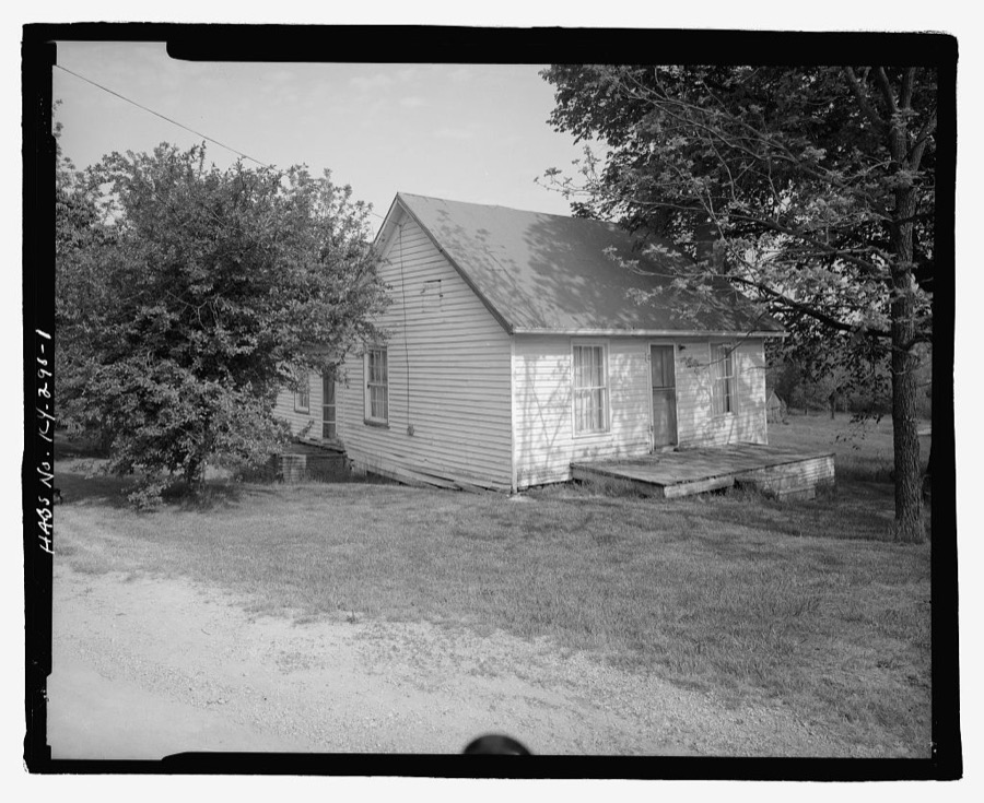
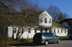
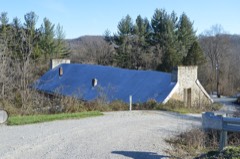
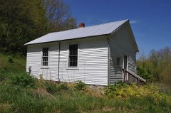
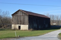
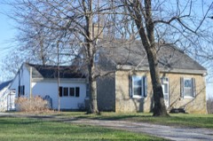
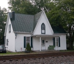
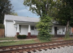
Every property in this county listed on the National Register of Historic Places, with the year it was listed and the federal nomination document.
Bracken County has 1 covered bridge on the National Register. Each is a listed structure with a federal nomination on file.
 | Walcott Covered Bridge | Listed 1975 |
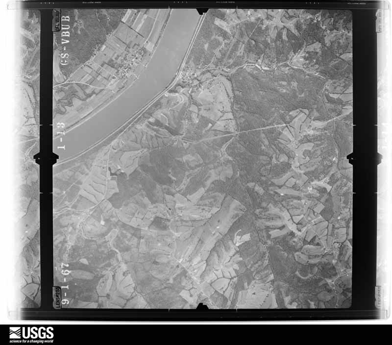
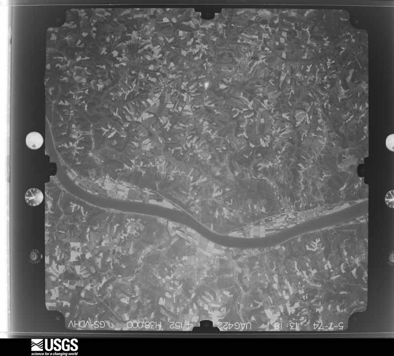
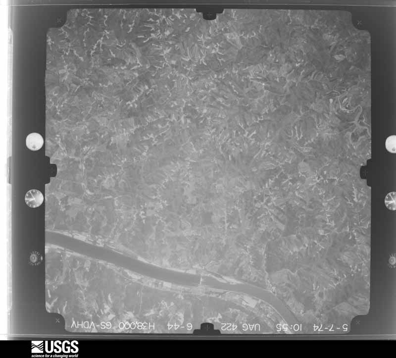
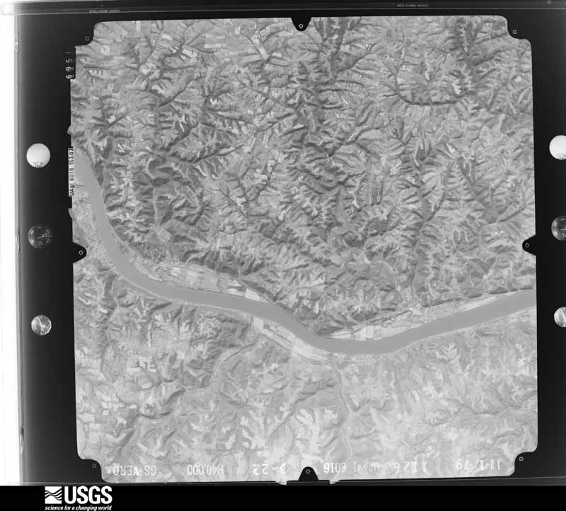
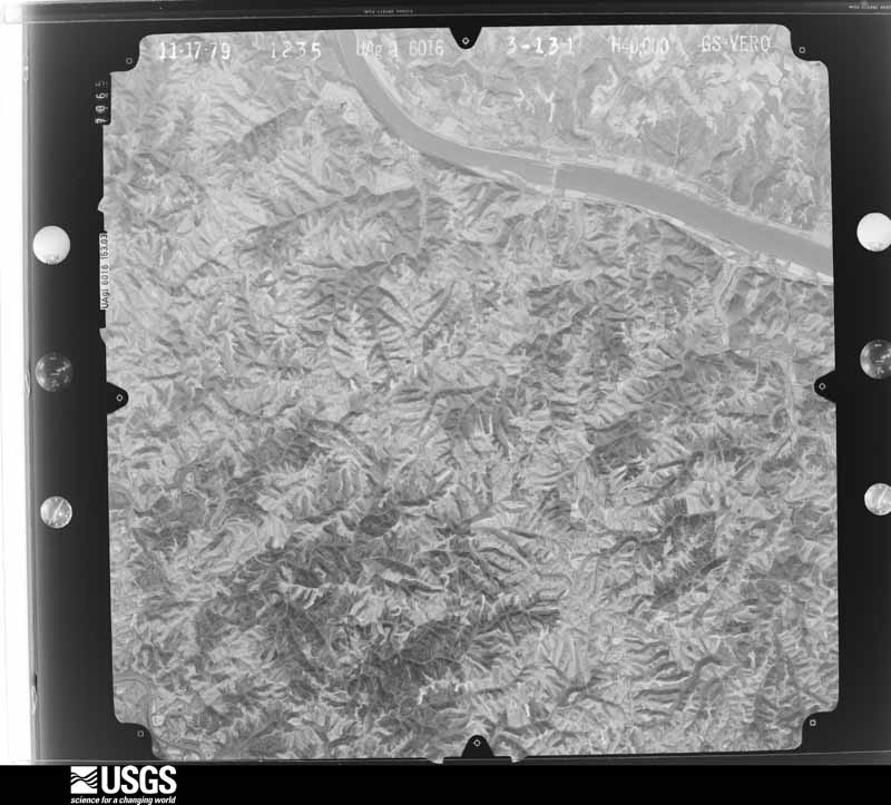
Flown by the U.S. Geological Survey between 1937 and 1989, the Aerial Photo Single Frames collection is the definitive mid-century view of the land: fields, roads and rivers as the camera saw them. The Survey holds 461 frames inside the rectangle that bounds this county; the 26 frames below were taken over the county itself, chosen across the decades of flights (at most four a year from that rectangle), so one flight cannot crowd out the rest. The full set is free to browse and download at EarthExplorer under the dataset Aerial Photo Single Frames.
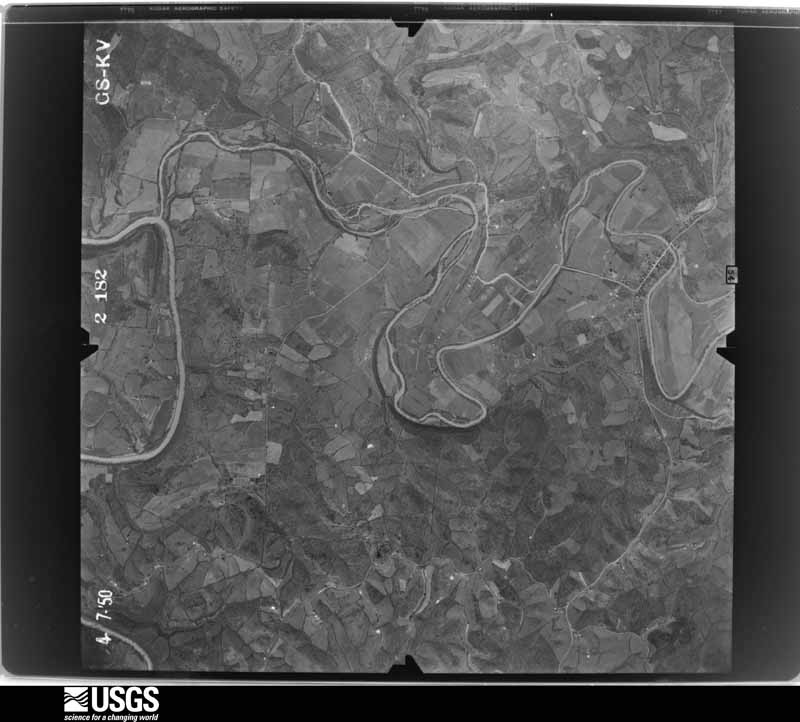
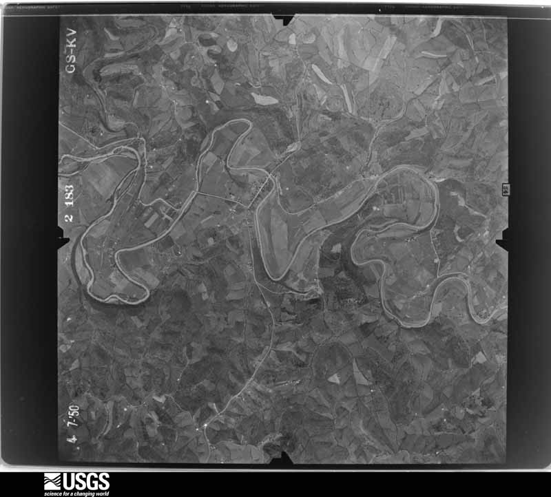
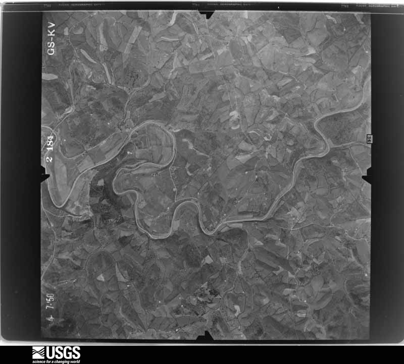

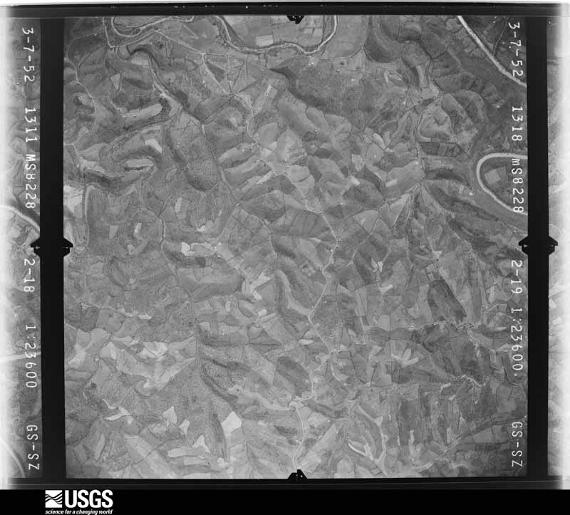



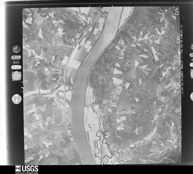
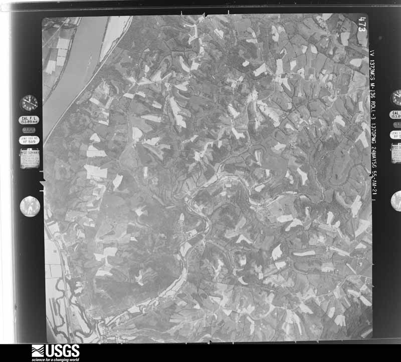



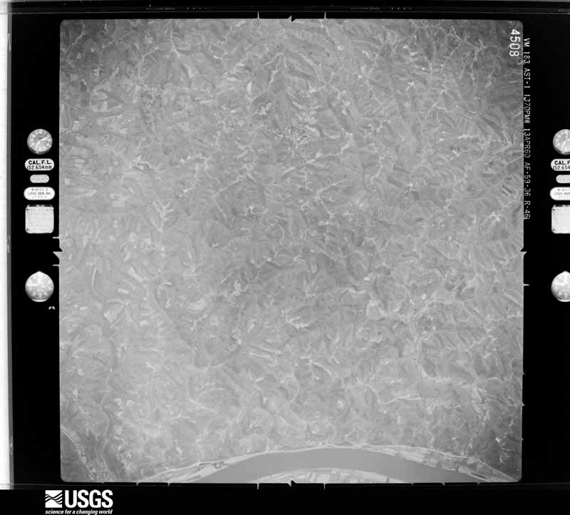
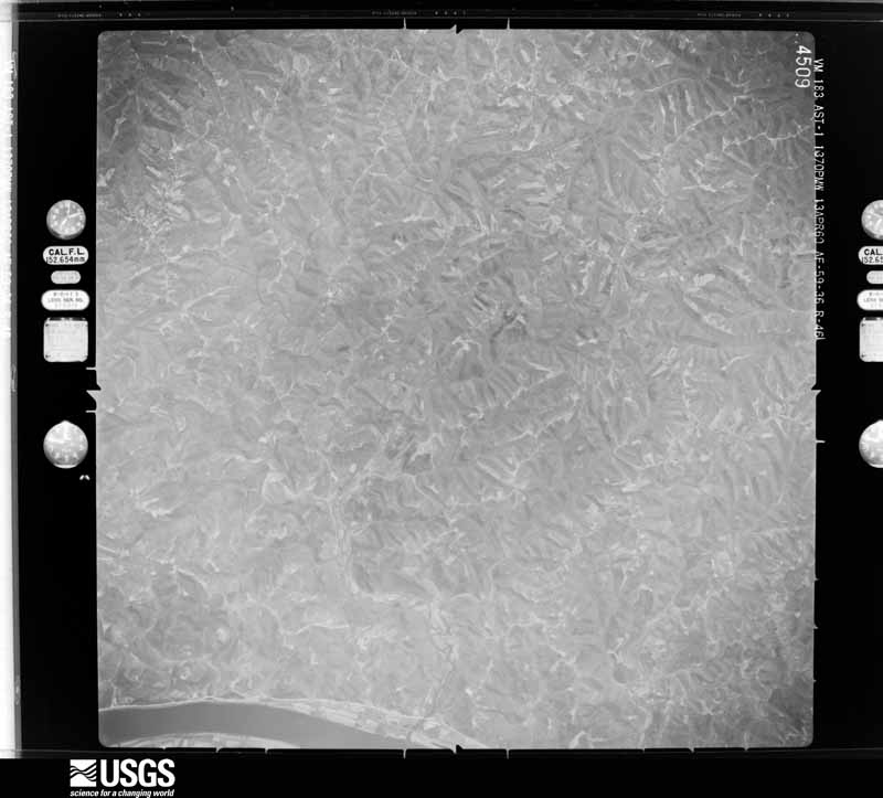






The thermometers that kept this county's weather, and the gages that measured the flow of its streams, as the federal records hold them. The extremes below are measured values from those records, not estimates.
Who lived here in 1950, one enumeration district at a time, as the Census Bureau described each district. Each row opens its official National Archives result, with Population Schedules and ED Maps available there.
Every wildfire the federal occurrence database records inside this county: 9 of them, burning about 45 acres. None started naturally and none was recorded as arson. Each settlement page carries the fires within five miles of it.
| Reported cause | Fires |
|---|---|
| Missing data/not specified/undetermined | 5 |
| Debris and open burning | 2 |
| Recreation and ceremony | 2 |
The five largest, by the area the report gives. None of them was recorded as arson.
| Date | Cause | Size | Reported by | Name on the report |
|---|---|---|---|---|
| 28 March 1999 | Debris and open burning | 15 acres | Kentucky Division of Forestry | not named |
| 14 February 2002 | Recreation and ceremony | 11 acres | Kentucky Division of Forestry | not named |
| 29 February 2004 | Missing data/not specified/undetermined | 10 acres | Kentucky Division of Forestry | not named |
| 3 April 1997 | Debris and open burning | 3.0 acres | Kentucky Division of Forestry | not named |
| 29 February 2004 | Missing data/not specified/undetermined | 2.0 acres | Kentucky Division of Forestry | not named |
| 10 March 2004 | Missing data/not specified/undetermined | 2.0 acres | Kentucky Division of Forestry | not named |
| 29 February 2004 | Missing data/not specified/undetermined | 1.0 acres | Kentucky Division of Forestry | not named |
| 13 March 2007 | Recreation and ceremony | 1.0 acres | Kentucky Division of Forestry | not named |
Every settlement page carries the fires within five miles of it - see the settlement index below.
The NOAA Storm Events Database holds 188 reports for this county, causing 4 deaths, 11 injuries and about $4,504,030 in recorded property damage. Each settlement page carries the reports that name it.
| Kind of event | Reports |
|---|---|
| Thunderstorm Wind | 130 |
| Hail | 18 |
| Flash Flood | 18 |
| Flood | 16 |
| Tornado | 6 |
The most serious of them, by death, then injury, then recorded damage. The accounts are quoted exactly as the forecast office filed them.
| When | Event | Place named | Harm | What the report says |
|---|---|---|---|---|
| July 2001 | Thunderstorm Wind | Brooksville | 2 killed, 3 hurt, $100,000 | Thunderstorm winds blew over a mobile home killing 2 and injuring 3 people. Another mobile home was damaged and trees were knocked down. |
| April 1968 | Tornado (F4) | not stated | 1 killed, 8 hurt, $250,000 | no account filed |
| July 2017 | Flash Flood | Augusta | 1 killed, $250,000 | Five to seven inches of rain produced widespread flash flooding across Bracken County. Two homes were washed away off of Augusta-Minerva Road, killing one man (M82MH). Several other homes in the area sustained damage due to the high water. About 20 boats broke from their moorings on Bracken Creek and were washed into the Ohio River. Several roads across the area also sustained damage due to the rushing water. |
| March 1997 | Flash Flood | Countywide | $1,000,000 | no account filed |
| April 2024 | Tornado (EF0) | Brooksville | $750,000 | The tornado began along Brooksville-Powersville Road west of Hamilton Road. Tree damage was observed in the area along with some minor damage to a home east of Hamilton Road. Several barns were heavily damaged or destroyed in the area. Additional observed damage was located on Michaels Lane and McNamara Lane where several barns were damaged. The tornado continued eastward, crossing Brooksville-Germantown Road, causing damage to more barns, outbuildings, and trees. Based on radar data and observed damage provided by the public on social media, it is believe the tornado dissipated north of Brooksville-Germantown Road west of Locust Creek. |
| November 1993 | Thunderstorm Wind | not stated | $500,000 | One tobacco barn was destroyed and one was damaged by downburst winds near Chatham. |
| April 2018 | Thunderstorm Wind | Woolcott | $250,000 | Four to five barns were severely damaged or destroyed on Augusta-Berlin Road. |
| August 2012 | Flash Flood | Willow Grove | $200,000 | There were reports of water entering many homes in the Foster Johnsonville area. |
| September 2025 | Tornado (EF0) | Powersville | $100,000 | The first evidence of tornado damage was near Powersville, along the intersection of Powersville Willow and Brooksville Powersville Roads. At this location, several trees and large branches were downed. The tornado continued northeast from here, causing sporadic tree damage along its path. ||More significant damage occurred just to the northwest of downtown Brooksville, along West Miami Street. Numerous trees were downed in this area and several homes had mainly minor roof and siding damage. One home at this location did have a large portion of its roof removed and this is where the strongest winds were estimated.||The tornado was captured on security video taken from both the Bracken County Middle School and the Bracken County High School. In the video taken from the high school, the tornado is clearly visible as it moved through the field south of Cooper Lane toward West Miami Street. ||Beyond West Miami Street, the tornado moved northeast and continued to cause occasional minor tree and structural damage. The last evidence of tornadic damage was along Brooksville Chatham Road, where a barn was completely destroyed and some large sycamore trees were uprooted. |
| April 2020 | Thunderstorm Wind | Milford | $100,000 | Seven to eight barns were destroyed and numerous trees were knocked down across the county. |
| July 2000 | Thunderstorm Wind | Augusta | $100,000 | A supercell tracked across the county causing significant damage. Roofs were blown off a barn and a restaurant. Between 50 and 100 trees were blown down between Augusta and Germantown, which is on the border of Mason county. |
| March 2012 | Tornado (EF0) | Berlin | $70,000 | The tornado touched down initially near Haley Ridge Road and lifted before crossing Willow Lennoxburg Road. The tornado destroyed a garage, snapped a power line pole, and caused heavy damage to a barn. Several two by fours from the barn were driven one to two feet into the ground. At the end of the tornadoes path, the damage consisted of numerous medium sized trees snapped. The damage associated with the barn showed evidence of rotation. Based on damage observed, the maximum wind speed of this tornado was estimated at 85 miles per hour. |
| April 2020 | Thunderstorm Wind | Berlin | $40,000 | Roof and siding damage was reported to multiple homes. Also some sheds and barns were damaged. |
| March 2017 | Thunderstorm Wind | Willow Grove | $40,000 | Several barns were severely damaged along Kentucky Route 8. The barns looked as if they were collapsed by strong west winds. Another barn was destroyed on Eden Ridge Road. Several large trees were down throughout the county. Also, a house on Snag Creek Road had major damage with a large section of the roof missing. A large swath of damage with numerous trees laying in the road was located along Kentucky Route 8 just west and including Snag Creek Road. Based on the damage, winds were estimated to be 70 to 80 mph. |
| June 2020 | Thunderstorm Wind | Brooksville | $30,000 | Significant property damage was reported on Delaney Road. This included an outbuilding destroyed, a porch damaged, loss of roofing shingles and trees and large limbs knocked down. |
| April 2020 | Thunderstorm Wind | Bladeston | $30,000 | Numerous trees and structures were damaged between Berlin and Brooksville, north to the AA Highway. |
| March 2012 | Thunderstorm Wind | Powersville | $30,000 | Widespread minor tree and roof damage occurred. Based on damage patterns obtained during the survey, this damage was caused by straight line thunderstorm winds estimated at 60 to 70 miles per hour. |
| March 2011 | Thunderstorm Wind | Gertrude | $30,000 | Tin roofing was blown away due to damaging thunderstorm winds. Rafters and sheet metal was blown off of buildings and part of a porch was blown away from a trailer due to the winds. A corner of a barn was also blown away due to the damaging winds. |
| April 1980 | Tornado (F1) | not stated | $25,000 | no account filed |
| April 2020 | Thunderstorm Wind | Johnsville | $20,000 | The roof was partially removed from the Salem Ridge Wesleyan Church. |
| June 2020 | Flash Flood | Foster | $20,000 | A portion of the AA Highway near Foster was washed out. Western Route 8 also had high water and Ruf Road was washed out. |
| August 2012 | Flash Flood | Foster | $20,000 | Holts creek road was impassible south of the AA Highway due to high water over the road caused by heavy rainfall. A house along the road was also flooded. |
| June 2020 | Thunderstorm Wind | Johnsville | $15,000 | A home on Western Hills Road received damage to its shingles. Also, damage occurred to a shed and to a pool. Finally, several trees and power lines were knocked down. |
| June 2020 | Thunderstorm Wind | Chatham | $15,000 | Numerous trees were knocked down, along with power outages and some minor roof damage. |
| March 2011 | Thunderstorm Wind | Augusta | $15,000 | The roof of a ferry was blown off and small trees were blown over due to damaging thunderstorm winds. |
| April 2011 | Thunderstorm Wind | Augusta | $15,000 | Large tree branches, a barn, and trees were reported down due to damaging thunderstorm winds. |
| August 2007 | Thunderstorm Wind | Brooksville | $15,000 | A mobile home was moved onto Hamilton Road. |
| August 2007 | Thunderstorm Wind | Brooksville | $15,000 | A barn was blown over along State Route 22 in the eastern part of the county. |
| June 2022 | Thunderstorm Wind | Powersville | $10,000 | Several trees and power lines were downed on Powersville-Harrison County Road. |
| April 2020 | Thunderstorm Wind | Cumminsville | $10,000 | A barn was destroyed. |
| July 2015 | Thunderstorm Wind | Petra | $10,000 | Numerous trees were downed and part of a roof was blown off of a house. |
| June 2014 | Thunderstorm Wind | Woolcott | $10,000 | Roofing was peeled off of a garage and numerous small branches and two trees were downed in the area due to thunderstorm winds. |
| March 2011 | Thunderstorm Wind | Brooksville | $10,000 | Two utility poles were snapped off and a tree fell on electric lines due to damaging thunderstorm winds. |
| June 2010 | Thunderstorm Wind | Stonewall | $10,000 | A 30 by 20 foot portion of a barn roof was removed due to damaging thunderstorm winds. |
| February 2000 | Flash Flood | Countywide | $10,000 | Numerous creeks overflowed their banks across the county. |
| November 2000 | Thunderstorm Wind | Countywide | $10,000 | Numerous trees knocked down across the county. |
| August 2000 | Thunderstorm Wind | Countywide | $10,000 | Trees and power lines downed across the county, especially near Germantown. |
| August 2000 | Thunderstorm Wind | Augusta | $10,000 | Numerous trees and power lines knocked down. |
| August 1997 | Thunderstorm Wind | Countywide | $10,000 | Numerous trees downed, some of which blocked roads. |
| March 2017 | Thunderstorm Wind | Willow Grove | $8,000 | Two barns on Kentucky Route 8 were destroyed. |
| April 2017 | Thunderstorm Wind | Brooksville | $8,000 | Multiple trees were knocked down in the Brookville area, including one in a house on Woodward Ave. |
| February 2009 | Thunderstorm Wind | Brooksville | $8,000 | A car port was blown down at a residence. |
| June 2020 | Thunderstorm Wind | Berlin | $7,000 | Several trees and power lines were knocked down near the intersection of Salem Ridge Road and Justin Drive. |
| June 2020 | Thunderstorm Wind | Lenoxburg | $6,000 | Trees and power lines were knocked down on Grovers Run Road. |
| June 2020 | Thunderstorm Wind | Chatham | $6,000 | Asbury Road near Dutch Ridge Road was closed due to trees and power lines down. Brooksville was without power for about six hours. |
| November 2010 | Thunderstorm Wind | Brooksville | $6,000 | A carport was destroyed due to damaging thunderstorm winds. |
| August 2007 | Thunderstorm Wind | Brooksville | $6,000 | Trees and power lines were downed across the county. |
| April 2006 | Thunderstorm Wind | Countywide | $6,000 | Trees were downed throughout the county. |
| May 1995 | Thunderstorm Wind | Berlin | $6,000 | Trees downed, some into power lines. |
| July 2023 | Thunderstorm Wind | Wellsburg | $5,000 | Several trees were downed along Mary Ingles Highway W between Foster and Augusta. |
| July 2023 | Thunderstorm Wind | Foster | $5,000 | Several trees were downed. |
| April 2022 | Thunderstorm Wind | Foster | $5,000 | Numerous trees were downed in the Foster area. |
| June 2022 | Thunderstorm Wind | Brooksville | $5,000 | Several trees were downed in the Brooksville area. |
| June 2020 | Thunderstorm Wind | Bradford | $5,000 | Several large trees were knocked down, blocking Bradford Road. |
| April 2020 | Thunderstorm Wind | Johnsville | $5,000 | Several trees were knocked down along Courts Hill Road. |
| June 2020 | Thunderstorm Wind | Foster | $5,000 | Several reports of downed trees were received in the Foster Area. |
| June 2020 | Thunderstorm Wind | Chatham | $5,000 | A tree was knocked down onto a barn on Hackett Ridge Road. |
| June 2020 | Thunderstorm Wind | Chatham | $5,000 | Hillsdale Road was impassable due to trees and limbs down. |
| March 2017 | Thunderstorm Wind | Lenoxburg | $5,000 | A barn was destroyed. A few trees were also downed in the area. |
| March 2017 | Thunderstorm Wind | Foster | $5,000 | A barn was destroyed. |
The Survey's mineral resources record lists 1 working inside this county. It is closed or unrecorded. Each settlement page carries the workings within five miles of it.
| Commodity | Workings |
|---|---|
| Clay | 1 |
The least common of them first, because a county's hundredth gravel pit says nothing its first ten did not.
| Where | Site | Commodity | Status | Recorded |
|---|---|---|---|---|
| Branch Junction Clay | Clay | Prospect |
Named settlements recorded in the Geographic Names Information System, each with the topographic sheets covering it. Villages, hamlets and abandoned places alike. Each is shown with the nearest named watercourse or landform and the survey quadrangle it falls on. The 2 places that were also surveyed for fire insurance come first, with the number of atlases and photographs held for them.
Augusta census division · 41002 · On Bracken Creek · Felicity quadrangle
11 sheets, 1931 to 1986
Fire insurance: 8 atlases
Brooksville census division · 41004 · Brooksville quadrangle
8 sheets, 1952 to 1986
Fire insurance: 3 atlases
Brooksville census division · 41004 · Brooksville quadrangle
8 sheets, 1952 to 1986
No longer a settlement
Brooksville census division · 41004 · Mount Olivet quadrangle
6 sheets, 1952 to 1986
No longer a settlement
Brooksville census division · 41004 · On McCarty Creek · Brooksville quadrangle
8 sheets, 1952 to 1986
Foster census division · 41043 · On Little Snag Creek · Moscow quadrangle
13 sheets, 1931 to 1986
Brooksville census division · 41004 · On Whippoorwill Branch · Mount Olivet quadrangle
6 sheets, 1952 to 1986
Augusta census division · 41002 · On Wilcox Branch · Brooksville quadrangle
8 sheets, 1952 to 1986
Brooksville census division · 41004 · On McCarty Creek · Brooksville quadrangle
8 sheets, 1952 to 1986
Brooksville census division · 41064 · On Coleman Branch · Claysville quadrangle
7 sheets, 1952 to 1986
Brooksville census division · 41004 · On Stone Creek · Mount Olivet quadrangle
6 sheets, 1952 to 1986
No longer a settlement
Brooksville census division · 41004 · On Stone Creek · Brooksville quadrangle
8 sheets, 1952 to 1986
No longer a settlement
Augusta census division · 41043 · On Chalfant Creek · Felicity quadrangle
11 sheets, 1931 to 1986
Brooksville census division · 41004 · On Pipe Creek · Mount Olivet quadrangle
6 sheets, 1952 to 1986
Augusta census division · 41002 · On Little Bracken Creek · Higginsport quadrangle
12 sheets, 1928 to 1991
Brooksville census division · 41004 · On McKanes Run · Mount Olivet quadrangle
6 sheets, 1952 to 1986
Augusta census division · 41002 · On Indian Creek · Higginsport quadrangle
12 sheets, 1928 to 1991
Augusta census division · 41043 · On Locust Creek · Felicity quadrangle
11 sheets, 1931 to 1986
Foster census division · 41043 · On Snag Creek · Moscow quadrangle
13 sheets, 1931 to 1986
Augusta census division · 41004 · On Goose Creek · Brooksville quadrangle
8 sheets, 1952 to 1986
The vanished settlements of Bracken County: the places named above that are no longer on the map.
11 topographic sheets and 8 fire insurance atlases, 1884 to 1945
8 topographic sheets and 3 fire insurance atlases, 1909 to 1926
The complete index, with nothing left out. Each of these is a separate record with its own page: a federal survey report, or the case file that argued a property on to the National Register. Both are public domain and reproduced word for word.
The vanished settlements of Bracken County, the places these records name that are no longer on the map.