 Block
From the record
7 National Register listings published here.
Sources: the National Register database, National Park Service
99 topographic sheets and 10 fire insurance atlases across 2 places.
7 National Register listings published here.
Sources: the National Register database, National Park Service
Every property in this county listed on the National Register of Historic Places, with the year it was listed and the federal nomination document.
| Photograph | Property | Type | Listed | Reference |
|---|---|---|---|---|
| Cloverport Historic District | district | 1983 | 83002589 | |
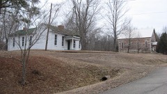 | Falls of Rough Historic District | district | 1978 | 78001305 |
| Fisher Homestead | building | 1983 | 83002590 | |
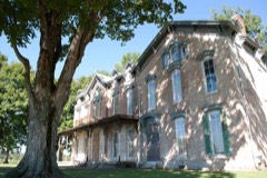 | Joseph Holt House and Chapel | building | 1976 | 76000853 |
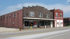 | Irvington Historic District | district | 1998 | 97001342 |
| Oglesby-Conrad | building | 1983 | 83002591 | |
| Skillman House | building | 1983 | 83002592 |
Sampled issues, machine-read from the Library of Congress scan and published page by page, so every headline and column is searchable text.
Cloverport, Ky., 1876 to 1955. Machine-read from the Library of Congress scan.
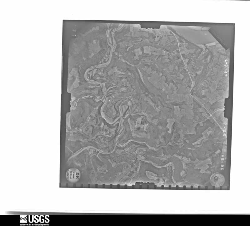
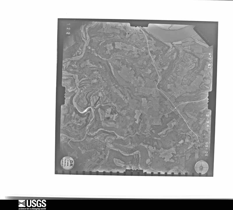
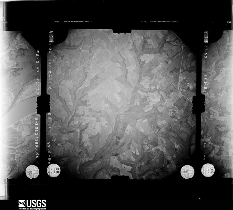
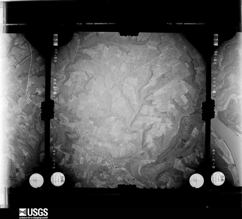
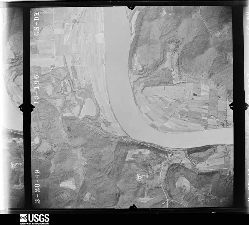
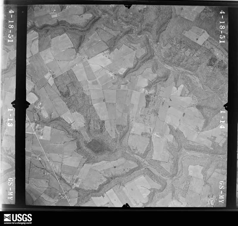
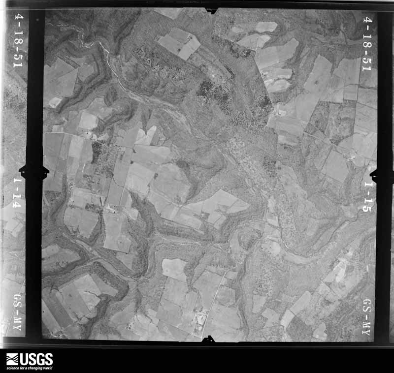
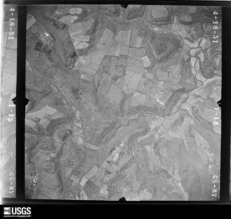
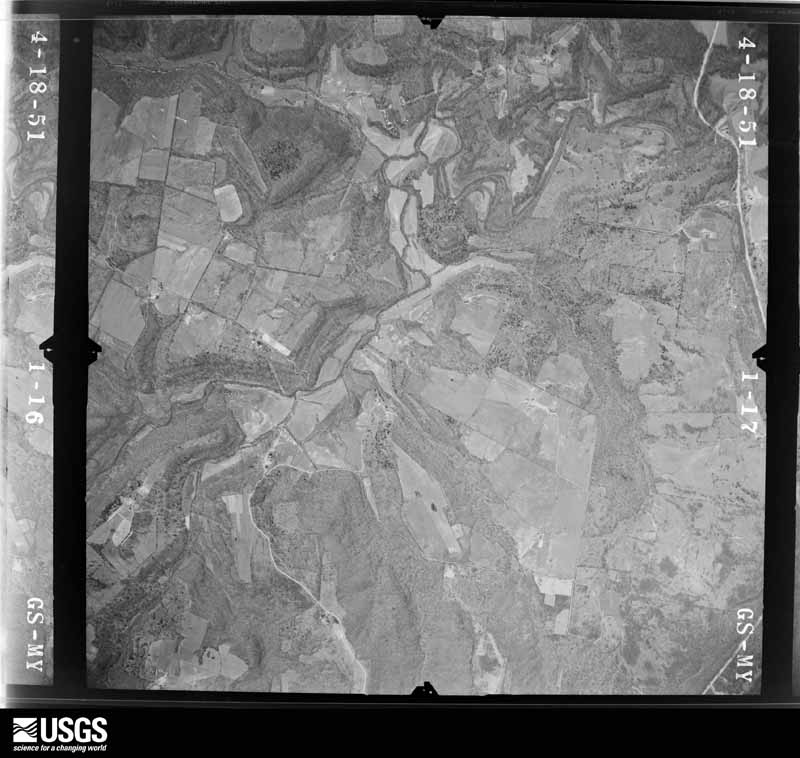
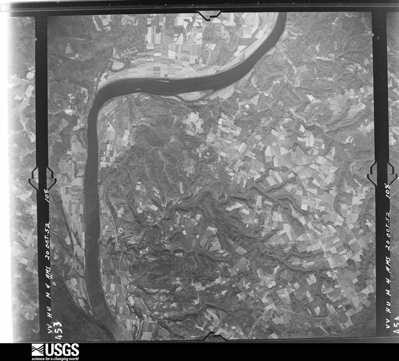
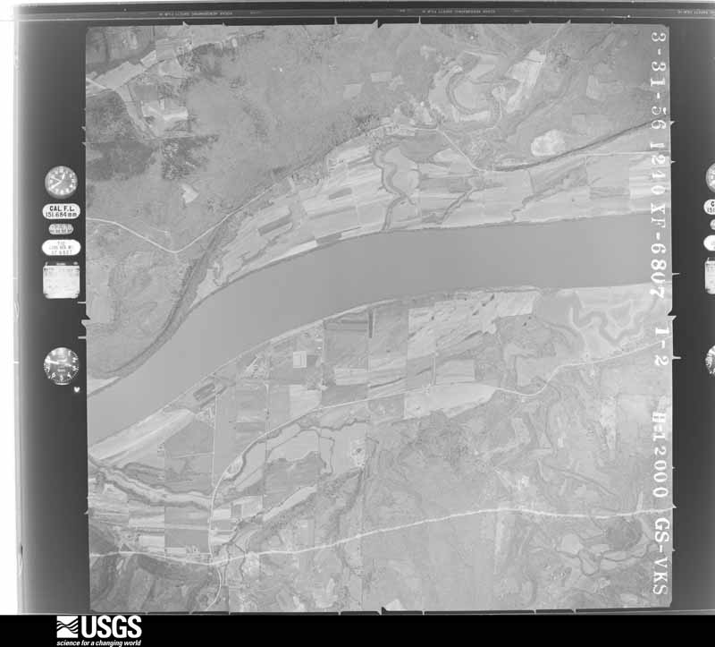
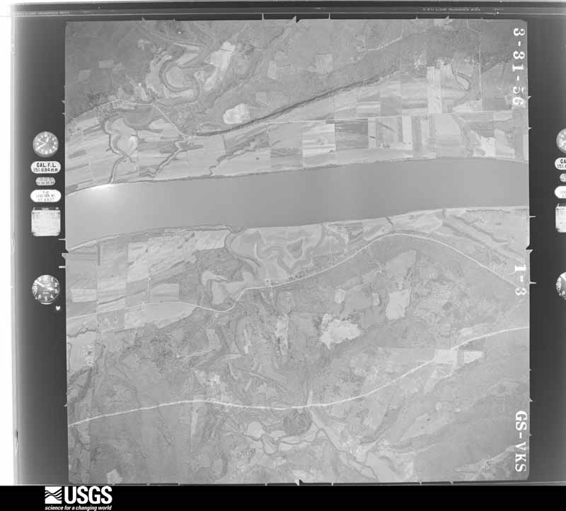
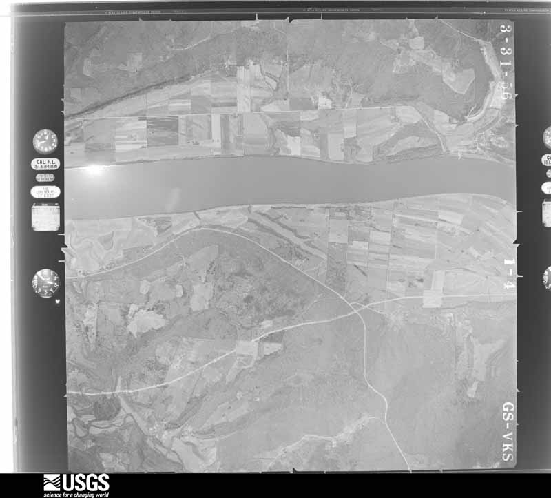
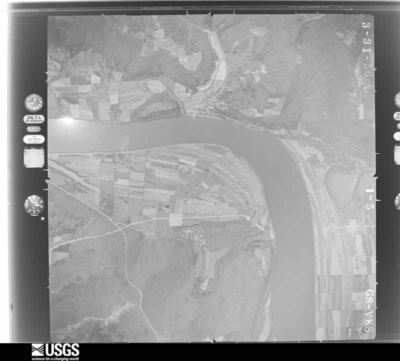
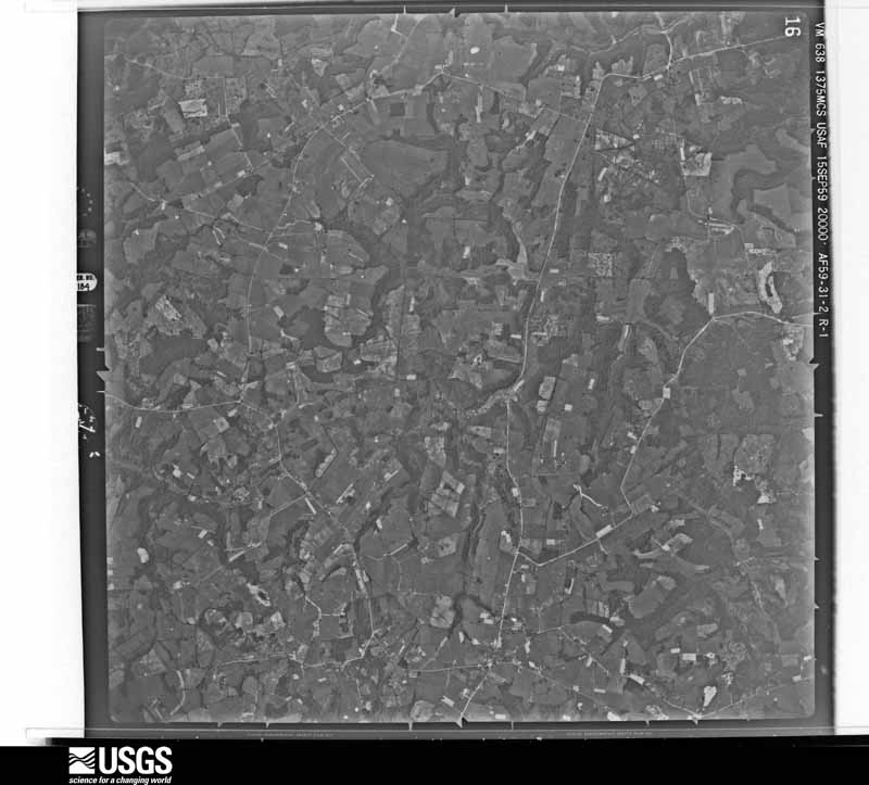
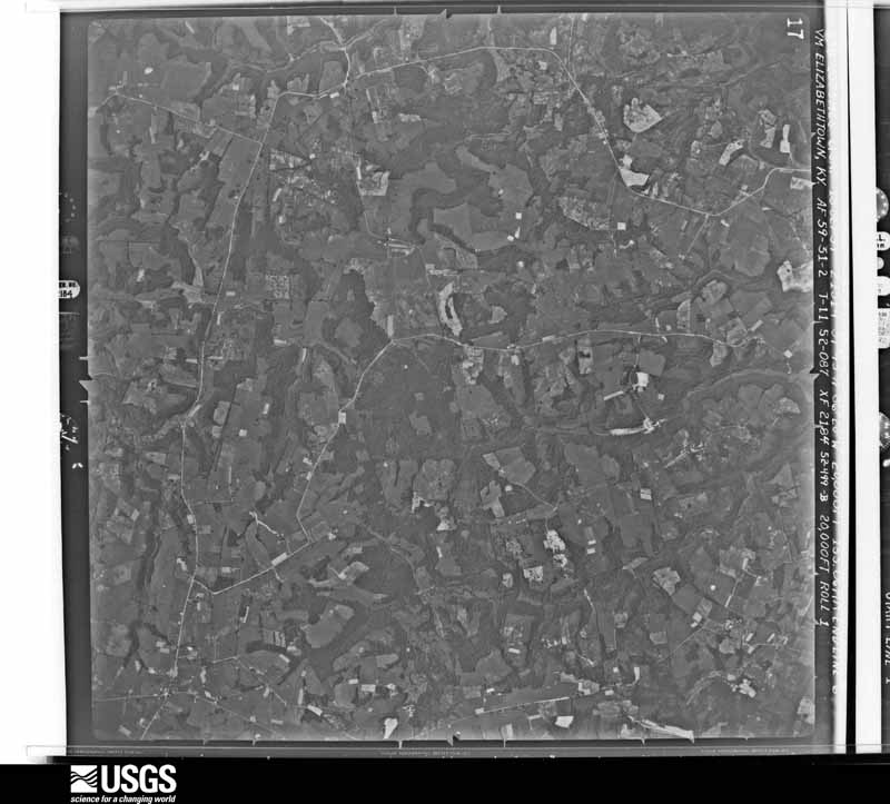
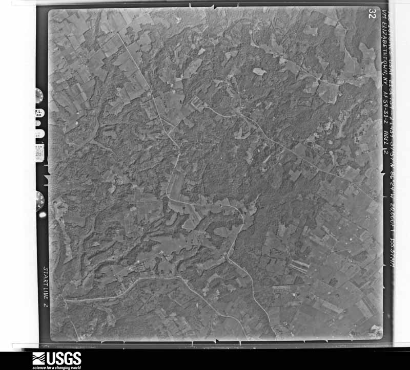
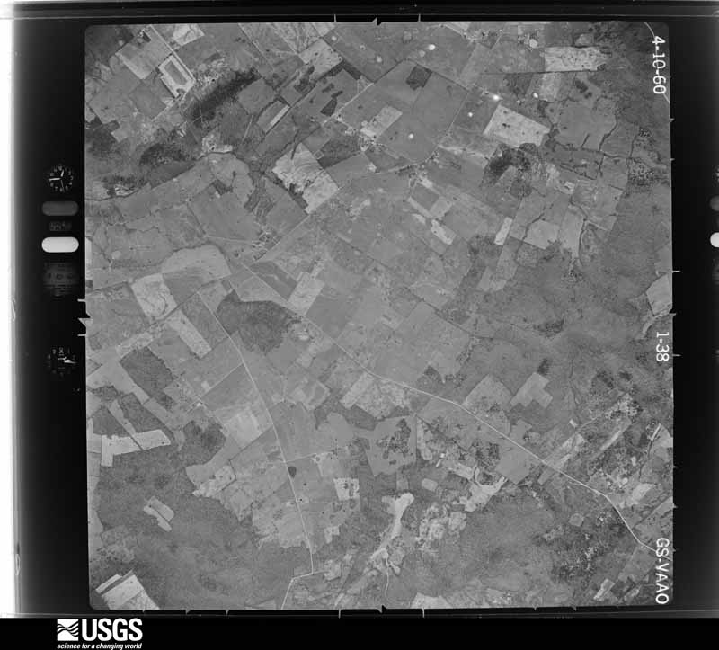
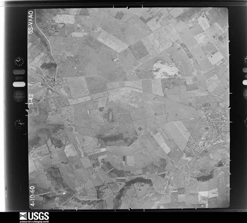
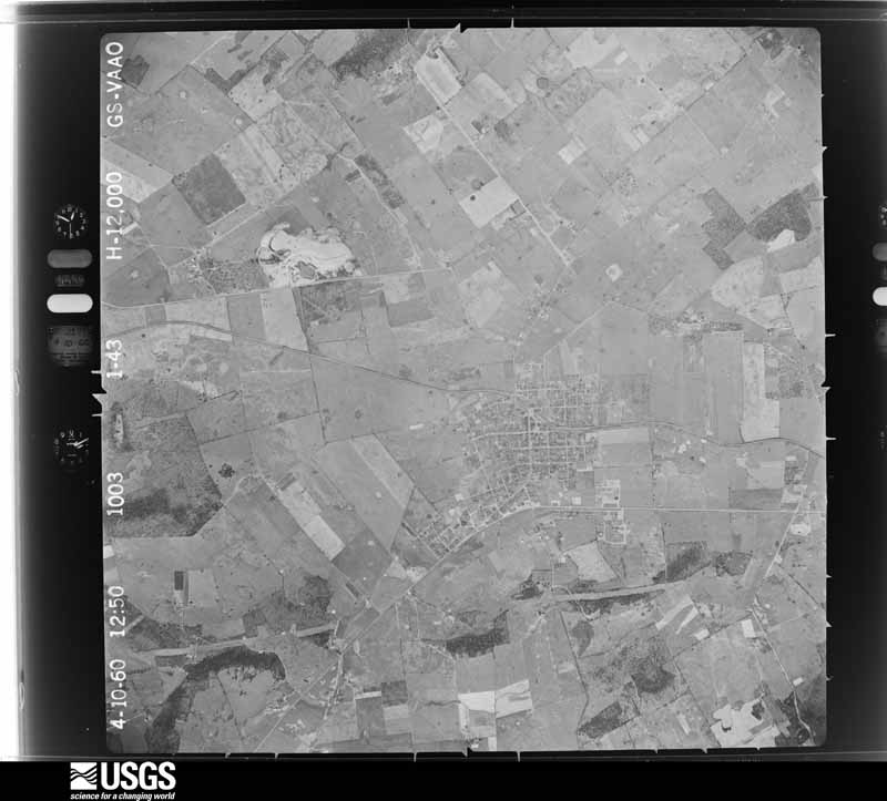
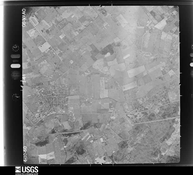
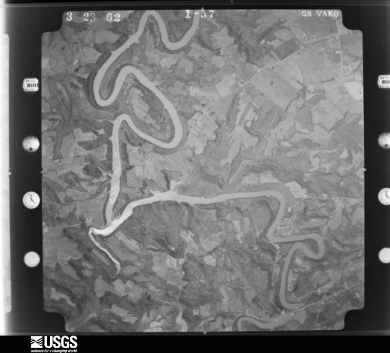
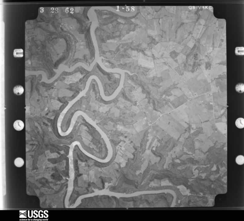
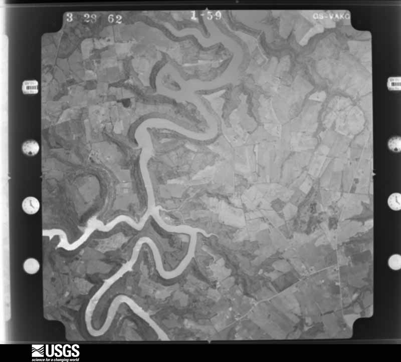
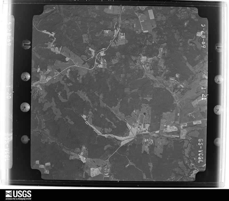
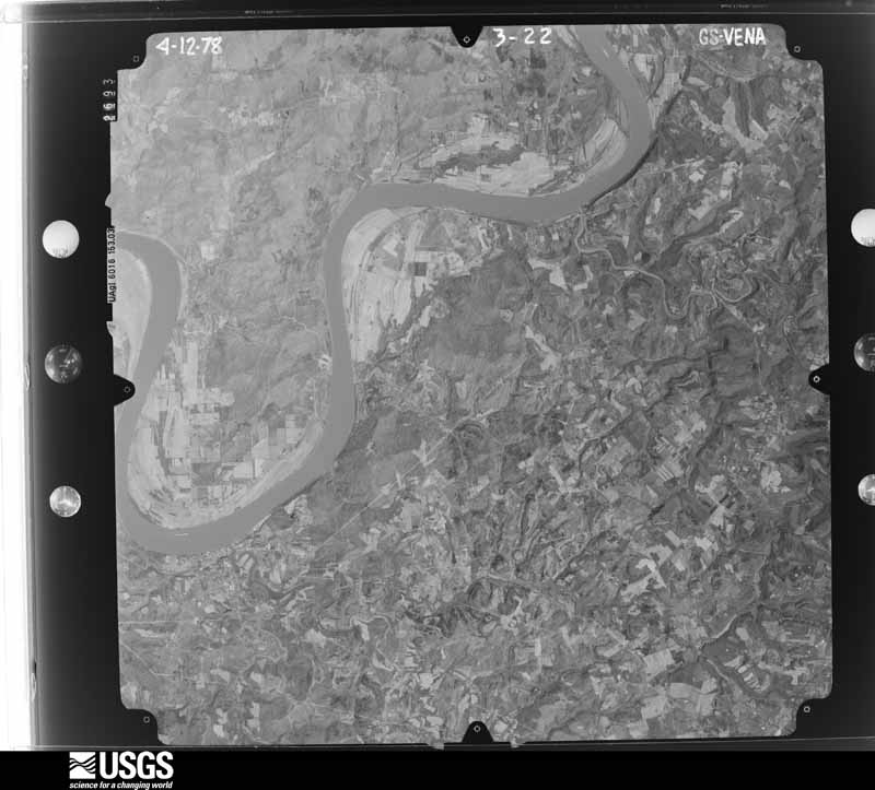
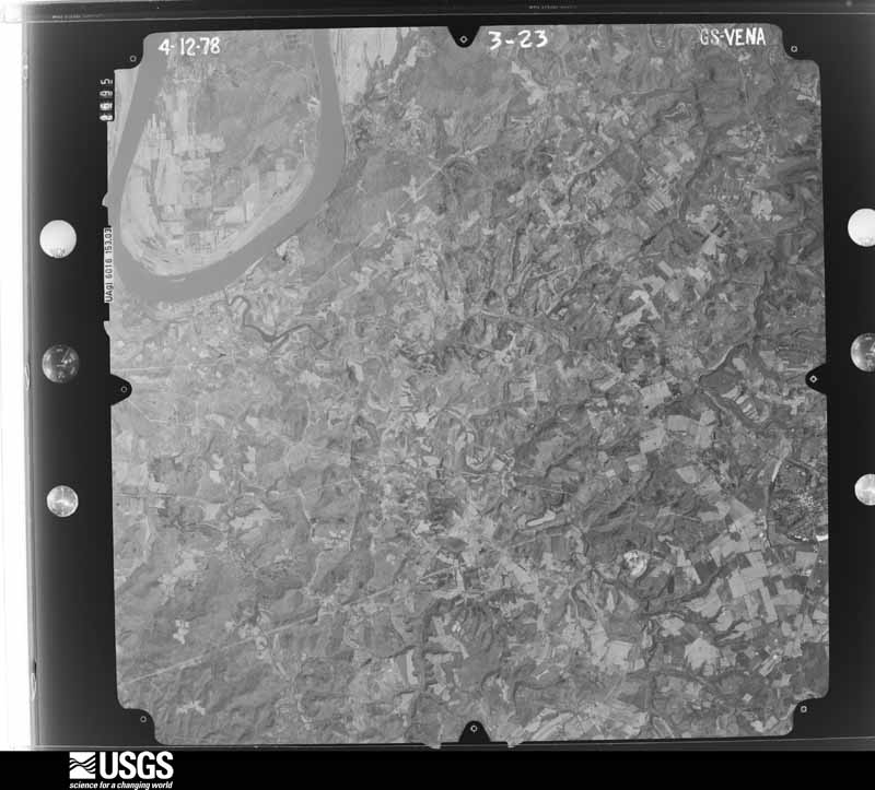
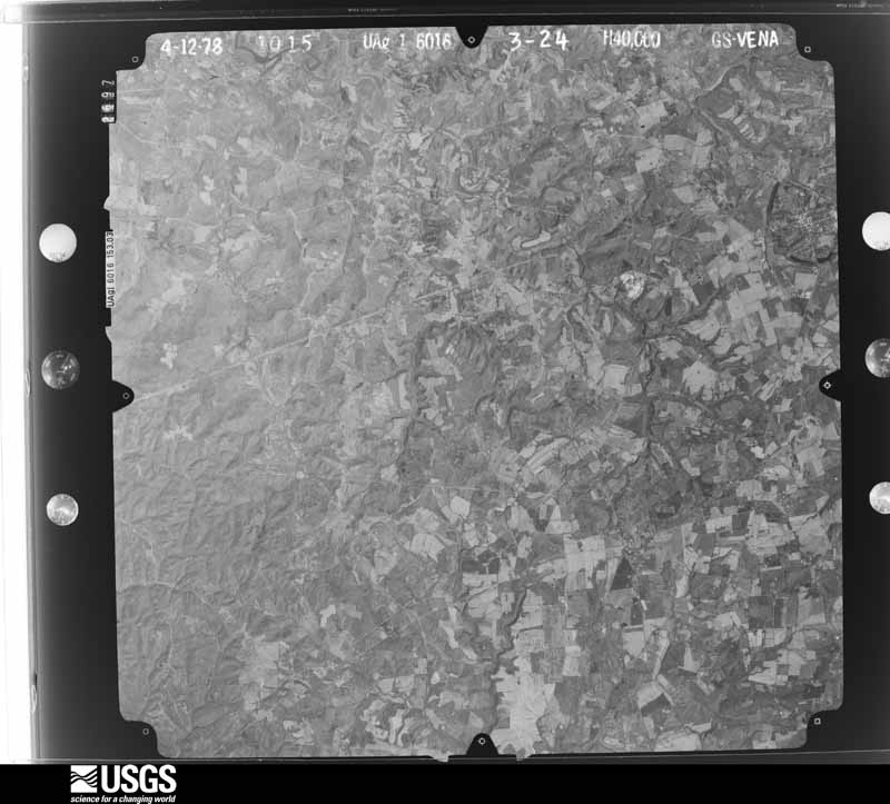
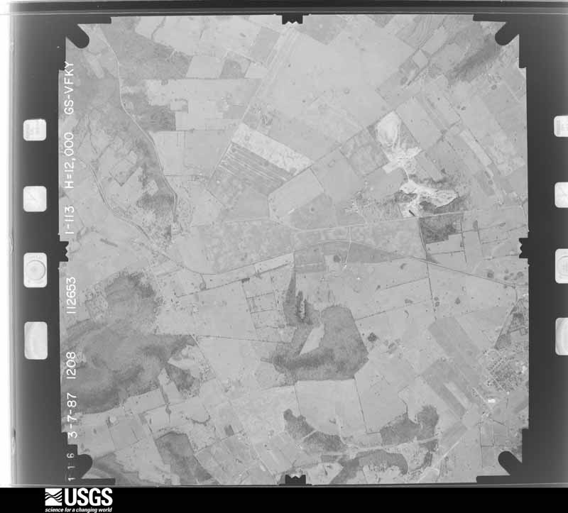
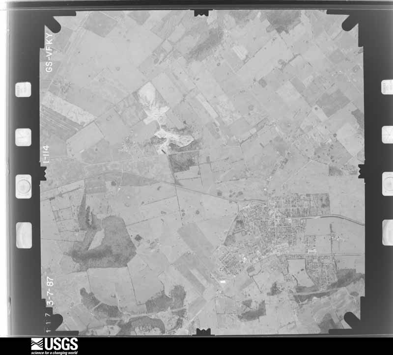
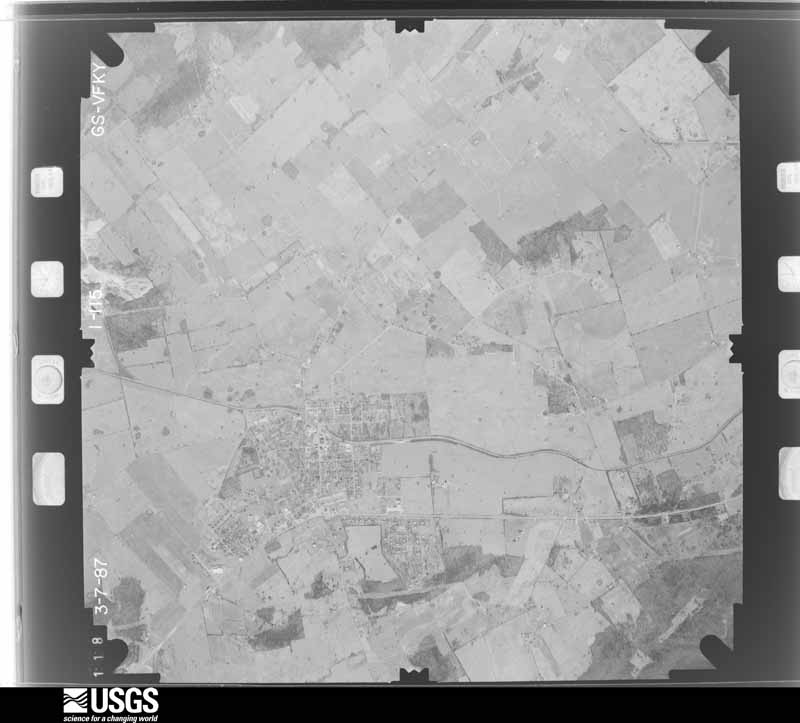
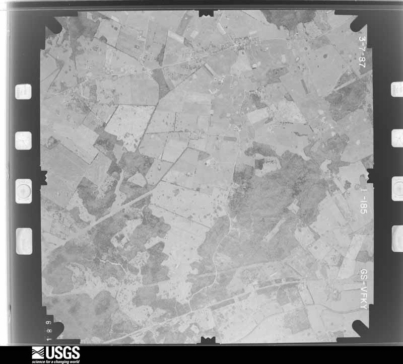
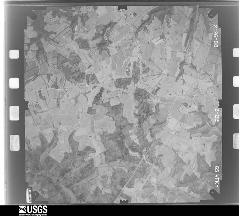
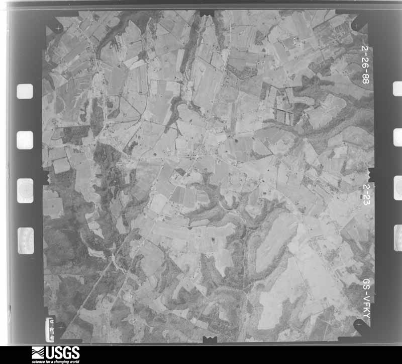
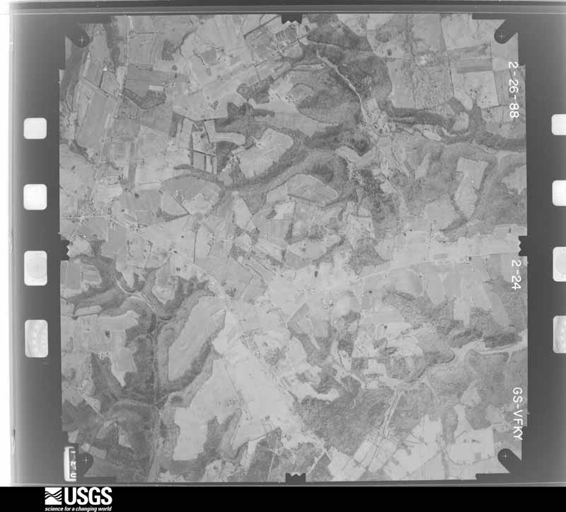
Flown by the U.S. Geological Survey between 1937 and 1989, the Aerial Photo Single Frames collection is the definitive mid-century view of the land: fields, roads and rivers as the camera saw them. The Survey holds 1,380 frames inside the rectangle that bounds this county; the 45 frames below were taken over the county itself, chosen across the decades of flights (at most four a year from that rectangle), so one flight cannot crowd out the rest. The full set is free to browse and download at EarthExplorer under the dataset Aerial Photo Single Frames.





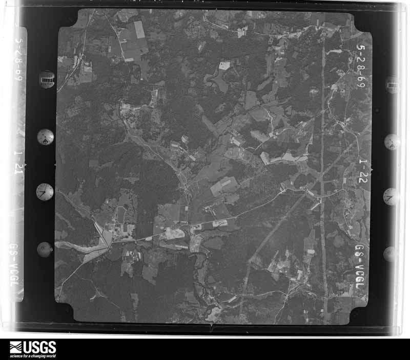
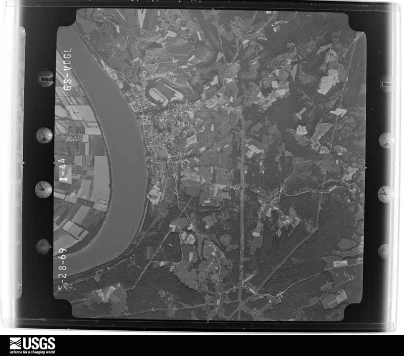
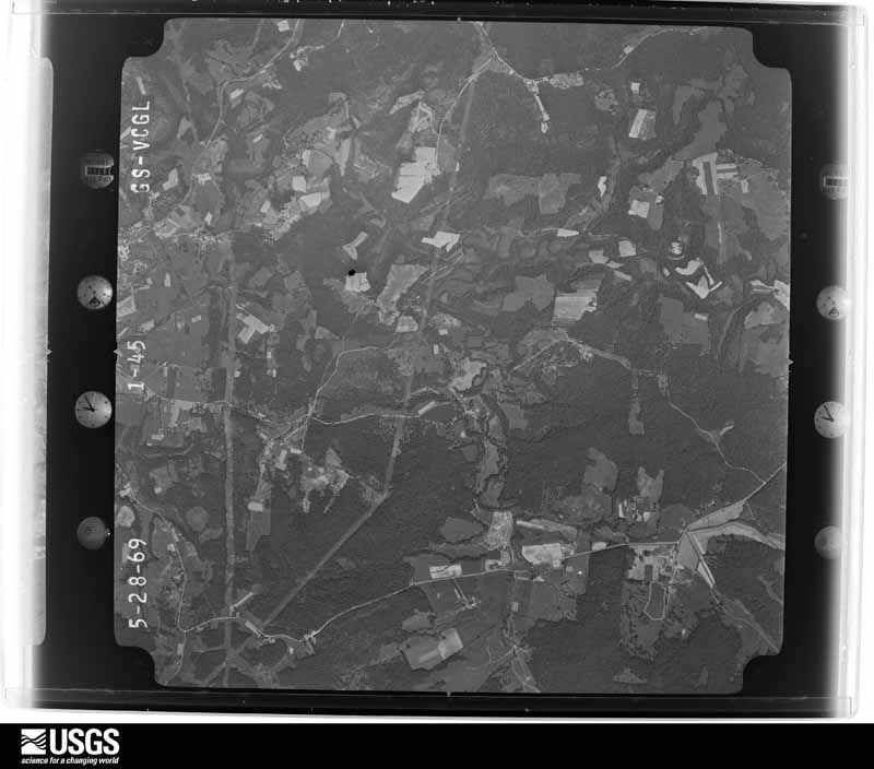
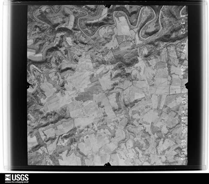

The thermometers that kept this county's weather, and the gages that measured the flow of its streams, as the federal records hold them. The extremes below are measured values from those records, not estimates.
Who lived here in 1950, one enumeration district at a time, as the Census Bureau described each district. Each row opens its official National Archives result, with Population Schedules and ED Maps available there.
Every wildfire the federal occurrence database records inside this county: 149 of them, burning about 1,421 acres. 1 started naturally and 12 were recorded as arson. Each settlement page carries the fires within five miles of it.
| Reported cause | Fires |
|---|---|
| Missing data/not specified/undetermined | 54 |
| Recreation and ceremony | 37 |
| Debris and open burning | 23 |
| Arson/incendiarism | 12 |
| Railroad operations and maintenance | 9 |
| Equipment and vehicle use | 7 |
| Smoking | 4 |
| Misuse of fire by a minor | 2 |
| Natural | 1 |
The five largest, by the area the report gives. One of them was set deliberately.
| Date | Cause | Size | Reported by | Name on the report |
|---|---|---|---|---|
| 27 March 2004 | Missing data/not specified/undetermined | 75 acres | Kentucky Division of Forestry | not named |
| 11 February 2007 | Recreation and ceremony | 70 acres | Kentucky Division of Forestry | not named |
| 24 September 2010 | Railroad operations and maintenance | 65 acres | Kentucky Division of Forestry | SHREWSBURY FIRE |
| 6 March 2010 | Missing data/not specified/undetermined | 59 acres | Kentucky Division of Forestry | not named |
| 17 March 1999 | Arson/incendiarism | 50 acres | Kentucky Division of Forestry | not named |
| 27 March 2016 | Recreation and ceremony | 50 acres | Kentucky Division of Forestry | ELZA TUCKER LANE |
| 1 March 2004 | Missing data/not specified/undetermined | 50 acres | Kentucky Division of Forestry | not named |
| 2 October 1999 | Debris and open burning | 40 acres | Kentucky Division of Forestry | not named |
Every settlement page carries the fires within five miles of it - see the settlement index below.
The NOAA Storm Events Database holds 350 reports for this county, causing 2 deaths, 22 injuries and about $5,837,000 in recorded property damage. Each settlement page carries the reports that name it.
| Kind of event | Reports |
|---|---|
| Thunderstorm Wind | 207 |
| Hail | 80 |
| Flash Flood | 27 |
| Tornado | 23 |
| Flood | 11 |
| Heavy Rain | 1 |
| Lightning | 1 |
The most serious of them, by death, then injury, then recorded damage. The accounts are quoted exactly as the forecast office filed them.
| When | Event | Place named | Harm | What the report says |
|---|---|---|---|---|
| April 2002 | Tornado (F2) | Cloverport | 1 killed, 7 hurt, $750,000 | The tornado crossed into central Breckinridge County from Perry County, IN. The tornado lifted periodically as it crossed eastern Breckinridge County, and reached the Irvington area around 0325 EST. A 52 year old male was killed in a mobile home in Irvington. Seven people were injured. A few homes were destroyed and numerous homes were damaged. Two homes had their roofs torn off. Numerous trees were uprooted, and many outbuildings were destroyed. The tornado was estimated at F2 intensity, with spots of F3 damage. |
| May 2006 | Flash Flood | Irvington | 1 killed, $10,000 | Fast flowing waters swept a car off Dents Bridge Road into Sinking Creek near Irvington. Two adults escaped from the car, but were unable to rescue a child strapped in a car seat before the car was swept away. |
| April 1974 | Tornado (F5) | not stated | 13 hurt, $2,500,000 | no account filed |
| March 2016 | Thunderstorm Wind | Harned | 2 hurt, $30,000 | An amateur radio operator reported trailers flipped over at Nancy Butler Trailer Park. |
| May 1995 | Tornado (F2) | New Bethel | $500,000 | Tornado damaged some homes. Mobile Home parks was damaged, a McDonald's roof and a Kroger's roof were damaged. |
| October 2007 | Tornado (EF2) | Rosetta | $300,000 | The EF-2 tornado began one mile east northeast of Stinnettsville, and moved to the northeast through Rosetta, where most of the damage occurred. A church was destroyed. A nearby home lost a large section of roof. Two large outbuildings were destroyed. A 16 foot trailer was moved and wrapped around a tree. Winds moved a 4500 pound tractor seven feet. A pickup truck was thrown 75 feet and flipped over. Numerous trees along the tornado path were uprooted or snapped. |
| August 2018 | Lightning | Mc Daniels | $200,000 | A house along Calvert Church Road was struck by lightning and caught fire. |
| March 2012 | Tornado (EF2) | Cloverport | $150,000 | This tornado originally touched down 7 miles west of Cloverport in Hancock County. It crossed into Breckinridge County around one mile west of Cloverport and had an intermittent 10 mile track, bringing the total path length across both counties to 17 miles. The twister lifted just west of Cloverport and touched down again just east of town, uprooting numerous soft and hardwood trees. The tornado strengthened to an EF-2 as it destroyed two homes on New Bethel-Cloverport Road. Farther east, near B Flood Road, several other structures received EF-1 damage. Several chicken farms had major damage with a significant loss of poultry. Just before lifting east of Route 269, the tornado downed several trees and did additional damage to a metal structure. |
| March 2006 | Thunderstorm Wind | Countywide | $150,000 | Roofs were blown off two buildings in Hardinsburg. A barn was blown into a road just outside of Hardinsburg. Trees and power lines were downed countywide. |
| May 2016 | Tornado (EF1) | Graysville | $100,000 | A very narrow intense damage path of rotating winds 90 to 95 mph was embedded within a 3 mile wide area of straight line winds in eastern Breckinridge County. The tornado left a distinct path in the vegetation and destroyed a part of a large metal barn near the Rosetta General Store. It also caused the walls of 2 adjacent outbuildings and a garage to buckle out. Wind-driven hail occurring with the storm shredded the vinyl siding on the west side of a home. |
| February 2008 | Thunderstorm Wind | Frymire | $100,000 | Thunderstorm winds did severe damage to a home and rendered it uninhabitable. |
| July 2004 | Thunderstorm Wind | Countywide | $100,000 | Trees and power lines were blown down. Unspecified structural damage was also reported. |
| June 2004 | Tornado (F0) | Hardinsburg | $100,000 | A tornado touched down just east of Old U.S. Highway 60 in Hardinsburg near the Breckinridge County Emergency Management Center. It damaged many trees along a path toward Meadowside Apartments. There was roof damage to several apartments in two complexes. The tornado tore the porch off a church. It overturned a mobile home on Cody Lane. There was also some structural and tree damage nearby caused by straight line winds. Only minor injuries were reported. |
| May 1996 | Thunderstorm Wind | Hardinsburg | $100,000 | no account filed |
| May 2003 | Thunderstorm Wind | Mc Daniels | $75,000 | Several roofs were blown off homes. Numerous trees were downed. |
| June 2018 | Thunderstorm Wind | Harned | $50,000 | A tree fell on the corner of a house in Harned. |
| May 2018 | Thunderstorm Wind | Cloverport | $50,000 | The Emergency Manager reported trees down with one tree on a house and another blocking a road. No injuries were reported. |
| June 2011 | Tornado (EF2) | Harned | $50,000 | The tornado first touched down at the west end of H Wilson Road as an EF-0, where around one dozen trees were snapped and uprooted. A barn collapsed when an oak tree fell on it. At the intersection of State Highway 79 and H Wilson Road, EF-2 damage occurred when a roof was torn from a home and thrown 60 yards. A 30 by 50 foot barn was thrown 200 yards and metal sheeting was thrown 300 yards. Several power poles were found leaning over State Highway 79. This tornado dissipated after snapping and uprooting several trees between State Highway 79 and Harned Locust Hill Road. |
| August 2018 | Thunderstorm Wind | Mc Quady | $40,000 | A metal roof was blown off of a barn, a shed was completely blown apart, and several chicken coops were completely flattened. Multiple trees in a row were also blown down in the same direction. |
| June 2019 | Thunderstorm Wind | Cloverport | $30,000 | A tree fell on a house in Cloverport causing power lines to come down as well. |
| March 2017 | Thunderstorm Wind | Irvington | $30,000 | Local broadcast media reported that severe thunderstorm winds brought down utility poles and power lines on Highway 79 just north of Irvington. |
| July 2014 | Thunderstorm Wind | Irvington | $30,000 | Several trees fell across cars in Irvington. |
| May 2010 | Tornado (EF1) | Big Spg | $25,000 | An NWS storm survey and interviews with residents confirmed a tornado touched down at approximately 828 PM EDT just west of Big Springs. A large barn suffered significant roof and wall damage resulting in the tornado to be rated EF-1 here with 85-90 mph winds. Additional damage to hardwood trees was noted along Highway 333 south. The tornado appeared to be skipping along the path at this time. The tornado lifted above the community of Big Springs, then touched down again along High Plains Road before lifting again. It then touched down again along Rineyville-Big Springs road in Harding county where it damaged a double wide mobile home. The damage at this location was consistent with EF-0 tornado damage with winds of 80-85 mph. |
| August 2007 | Thunderstorm Wind | Irvington | $25,000 | A tree was blown on to a mobile home. |
| June 1990 | Tornado (F0) | not stated | $25,000 | no account filed |
| May 1979 | Tornado (F1) | not stated | $25,000 | no account filed |
| March 2020 | Thunderstorm Wind | Hardinsburg | $20,000 | A boat was blown out of a carport. Several fences were blown down. A barn canopy was bent, and a cargo trailer got pushed into a truck. |
| June 2019 | Thunderstorm Wind | Garfield | $20,000 | A tree reportedly fell on power lines near West Highway 86. The power lines were on the ground and local power was out in the area. |
| June 2018 | Thunderstorm Wind | Harned | $20,000 | There was damage to a building under construction. |
| April 2017 | Thunderstorm Wind | Irvington | $20,000 | Local broadcast media reported power lines down across KY 79. |
| July 2016 | Thunderstorm Wind | Axtel | $20,000 | Trained spotters reported trees and power lines down along State Road 1740. |
| June 2019 | Thunderstorm Wind | Hardinsburg Arpt | $15,000 | Power lines were reported down on 4th Street in Hardinsburg. |
| April 2018 | Thunderstorm Wind | Garfield | $15,000 | The public reported a roof blown off a barn. |
| June 2018 | Thunderstorm Wind | Madrid | $15,000 | A tree fell on power lines on State Road 737. |
| August 2018 | Thunderstorm Wind | Raymond | $15,000 | A power pole was reported down along Highway 477. |
| March 2016 | Thunderstorm Wind | Hardinsburg Arpt | $15,000 | An amateur radio operator reported roof damage at Breckinridge County Middle School and damage to a nearby gas station. There were also reports of structural damage to buildings on Fairgrounds Road. |
| May 2000 | Hail | Hardinsburg | $15,000 | Cars were damaged by hail at Hardinsburg. |
| November 2019 | Flash Flood | Custer | $10,000 | Swift water was running over parts of Highway 690 near Custer. A vehicle was submerged in water on Rosetta Corners Road also near Custer. Numerous other roads were also flooded in the county. |
| May 2016 | Thunderstorm Wind | Harned | $10,000 | The public reported severe thunderstorm winds peeled the metal roof off a house and destroyed a small barn. |
| June 2015 | Thunderstorm Wind | Mystic | $10,000 | An amateur radio operator reported wind damage due to severe thunderstorm winds. The winds were estimated to be around 70 mph and resulted in damage to a carport along with roof damage. |
| May 2003 | Thunderstorm Wind | Stephensport | $10,000 | Unspecified structural damage was reported. |
| April 1998 | Thunderstorm Wind | Mc Daniels | $10,000 | DES reported part of a roof collapsed on a school. No one was injured. |
| January 2012 | Thunderstorm Wind | Harned | $8,000 | Strong straight line winds removed the roof from an old barn, throwing it onto the roof of a residence, damaging its roof in turn. |
| May 2016 | Thunderstorm Wind | Harned | $6,000 | Trees and power lines were reported down along Highway 60. |
| April 2016 | Thunderstorm Wind | Cloverport | $5,000 | An Amateur radio operator reported areas around Cloverport were without power due to severe thunderstorm winds. |
| July 2016 | Thunderstorm Wind | Constantine | $5,000 | Trained spotters reported trees and a part of a barn blown into the road on Ova Wright Lane. |
| June 2013 | Thunderstorm Wind | Cloverport | $5,000 | A HAM radio operator relayed a report of two electric poles snapped on Hillside Drive just outside of Cloverport. |
| June 2011 | Tornado (EF0) | Locust Hill | $5,000 | This weak EF-0 Tornado was only briefly on the ground. Along Route 1401, winds estimated at 80 mph tore roof panels off of a large well constructed barn and threw them 200 yards. |
| May 2010 | Thunderstorm Wind | Big Spg | $5,000 | An amateur radio operator reported the siding was blown off a mobile home. |
| August 2018 | Thunderstorm Wind | Vanzant | $3,000 | Trees blew down, and a dryer was lifted and landed on a car. |
| June 2013 | Thunderstorm Wind | Mc Quady | $2,000 | A HAM radio operator reported trees and power lines down along Kentucky Highway 261 just south of McQuady. |
| January 2012 | Thunderstorm Wind | Hardinsburg Arpt | $2,000 | The local emergency manager reported that a few shingles were blown off a house in Hardinsburg. |
| January 2012 | Thunderstorm Wind | Mc Quady | $2,000 | The county highway department reported that a cattle traler was overturned near McQuady. |
| May 1998 | Thunderstorm Wind | Hardinsburg | $2,000 | no account filed |
| August 2018 | Thunderstorm Wind | Tar Fork | $1,000 | Trees were reported down along Highway 261 and over much of the western part of the county. |
| January 2000 | Thunderstorm Wind | Hardinsburg | $1,000 | Windows blown out of a house |
| March 2026 | Tornado (EF1) | Centerview | - | As the tornado continued following Rough River Lake, it uprooted trees, snapped trees, and blew a metal roof off a house before crossing back into Grayson County. |
| March 2026 | Tornado (EF1) | Centerview | - | The tornado tore off half an outbuilding's roof and snapped and uprooted trees before crossing back into Grayson County. |
| March 2026 | Tornado (EF1) | Madrid | - | The tornado uprooted a couple trees and blew off sections of a metal roof before crossing Rough River Lake back into Grayson County. |
| March 2025 | Tornado (EF1) | Harned | - | The National Weather Service conducted a storm survey in Breckinridge County, near the communities of Hardinsburg and Harned, and determined an EF-1 tornado with maximum winds of 100 mph occurred the evening of March 30th, 2025. The tornado had a path length of 2.55 miles and a width of 30 yards. ||The first damage that was observed was along Butler Hobbs Road where a barn had roof panels lifted off for most of the south facing side of the building. The tornado continued along Butler Hobbs Road where several trees had large branch damage. The |tornado then crossed Ephesus Church Road where another barn had roof panel loss. The most significant damage occurred along US Highway 60 near Harned where several barn buildings had significant roof damage on the east and southeast side of the |building, which was the direction that the tornado approached. A barn and garage outbuilding were completely destroyed with estimated max wind speeds of 100 mph. A nearby residence also had wind damage, but there was clear evidence that the tornado was loosing strength with winds at this location near 80 mph. After crossing US Highway 60, there was no additional observable damage from this tornado. |
The Survey's mineral resources record lists 6 workings inside this county. 3 still produce and 3 are closed or unrecorded. Each settlement page carries the workings within five miles of it.
| Commodity | Workings |
|---|---|
| Limestone, General | 2 |
| Clay | 2 |
| Silica | 1 |
| Sand and Gravel, Construction | 1 |
The least common of them first, because a county's hundredth gravel pit says nothing its first ten did not.
| Where | Site | Commodity | Status | Recorded |
|---|---|---|---|---|
| Cloverport Roadcut | Silica | Prospect | ||
| Cloverport Sand Company | Sand and Gravel, Construction | Producer | ||
| Cloverport Pit & Plant | Clay | Past Producer | ||
| Hardinsburg Quarry | Limestone, General | Producer | ||
| Irving Quarry | Limestone, General | Producer | ||
| Roadcut Shale | Clay | Prospect |
Named settlements recorded in the Geographic Names Information System, each with the topographic sheets covering it. Villages, hamlets and abandoned places alike. Each is shown with the nearest named watercourse or landform and the survey quadrangle it falls on. The 2 places that were also surveyed for fire insurance come first, with the number of atlases and photographs held for them.
Cloverport census division · 40111 · On Clover Creek · Cloverport quadrangle
14 sheets, 1934 to 1991
Fire insurance: 7 atlases
Hardinsburg census division · 40143 · Hardinsburg quadrangle
17 sheets, 1928 to 1993
Fire insurance: 3 atlases
Irvington census division · 40170 · On Lick Run · Lodiburg quadrangle
17 sheets, 1928 to 1991
Irvington census division · 40146 · Near Pilot Ridge · Big Spring quadrangle
14 sheets, 1941 to 1991
McDaniels-Hudson census division · 40144 · Near Marks Ridge · Custer quadrangle
11 sheets, 1953 to 1991
McDaniels-Hudson census division · 40152 · McDaniels quadrangle
12 sheets, 1953 to 1991
McDaniels-Hudson census division · 40152 · On Tules Creek · Kingswood quadrangle
13 sheets, 1953 to 1993
Hardinsburg census division · 40144 · Near Miller Hollow · Hardinsburg quadrangle
17 sheets, 1928 to 1993
McDaniels-Hudson census division · 42754 · McDaniels quadrangle
12 sheets, 1953 to 1991
McDaniels-Hudson census division · 40140 · Constantine quadrangle
18 sheets, 1932 to 1991
Glen Dean-Vanzant census division · 40119 · On Harris Fork · Glen Dean quadrangle
13 sheets, 1932 to 1993
McDaniels-Hudson census division · 40144 · Near Ivory Hollow · Custer quadrangle
11 sheets, 1953 to 1991
Glen Dean-Vanzant census division · 40119 · Near McQuady Glen · Falls of Rough quadrangle
11 sheets, 1932 to 1991
Irvington census division · 40171 · Near Bruner Ridge · Lodiburg quadrangle
17 sheets, 1928 to 1991
Hardinsburg census division · 40144 · On Lost Run · Garfield quadrangle
16 sheets, 1928 to 1991
Glen Dean-Vanzant census division · 40119 · On Daniels Creek · Glen Dean quadrangle
13 sheets, 1932 to 1993
McDaniels-Hudson census division · 40146 · Near Somerset Knob · Garfield quadrangle
16 sheets, 1928 to 1991
McDaniels-Hudson census division · 40175 · Big Spring quadrangle
14 sheets, 1941 to 1991
McDaniels-Hudson census division · 40175 · Big Spring quadrangle
14 sheets, 1941 to 1991
Glen Dean-Vanzant census division · 40143 · On Long Lick Creek · McDaniels quadrangle
12 sheets, 1953 to 1991
McDaniels-Hudson census division · 42754 · McDaniels quadrangle
12 sheets, 1953 to 1991
McDaniels-Hudson census division · 40144 · On Fiddlers Creek · Custer quadrangle
11 sheets, 1953 to 1991
Irvington census division · 40146 · Near Argabright Hollow · Lodiburg quadrangle
17 sheets, 1928 to 1991
Irvington census division · 40157 · On Flint Run · Lodiburg quadrangle
17 sheets, 1928 to 1991
Cloverport census division · 40111 · Near Iron Ore Hill · Mattingly quadrangle
13 sheets, 1934 to 1991
McDaniels-Hudson census division · 42754 · On Rocky Branch · McDaniels quadrangle
12 sheets, 1953 to 1991
McDaniels-Hudson census division · 42754 · Near Copper Slick Hollow · McDaniels quadrangle
12 sheets, 1953 to 1991
McDaniels-Hudson census division · 40145 · On Muddy Prong · Custer quadrangle
11 sheets, 1953 to 1991
Irvington census division · 40157 · On Buck Creek · Alton quadrangle
16 sheets, 1950 to 1994
Irvington census division · 40146 · Near Dry Valley · Lodiburg quadrangle
17 sheets, 1928 to 1991
Glen Dean-Vanzant census division · 40119 · Near Black Jack Knob · Glen Dean quadrangle
13 sheets, 1932 to 1993
Irvington census division · 40146 · Near High Burning Ridge · Garfield quadrangle
16 sheets, 1928 to 1991
Irvington census division · 40170 · Near Bennett Ridge · Lodiburg quadrangle
17 sheets, 1928 to 1991
McDaniels-Hudson census division · 40144 · On Buffalo Creek · Kingswood quadrangle
13 sheets, 1953 to 1993
Cloverport census division · 40170 · On Sinking Creek · Rome quadrangle
14 sheets, 1934 to 1993
Irvington census division · 40146 · Near High Burning Ridge · Garfield quadrangle
16 sheets, 1928 to 1991
McDaniels-Hudson census division · 40178 · On Buffalo Creek · Kingswood quadrangle
13 sheets, 1953 to 1993
McDaniels-Hudson census division · 40140 · Near Marks Ridge · Custer quadrangle
11 sheets, 1953 to 1991
14 topographic sheets and 7 fire insurance atlases, 1886 to 1939