 Block
From the record
3 National Register listings published here.
Sources: the National Register database, National Park Service
30 topographic sheets and 5 fire insurance atlases across 1 place.
3 National Register listings published here.
Sources: the National Register database, National Park Service
Every property in this county listed on the National Register of Historic Places, with the year it was listed and the federal nomination document.
| Photograph | Property | Type | Listed | Reference |
|---|---|---|---|---|
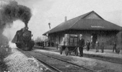 | Illinois Central Railroad Station and Freight Depot | building | 1976 | 76000860 |
| Neville-Patterson-Lamkin House | building | 1976 | 76000859 | |
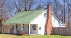 | George W. Stone House | building | 1994 | 94000223 |
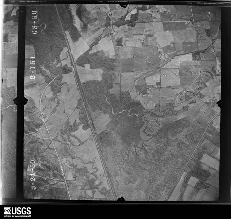
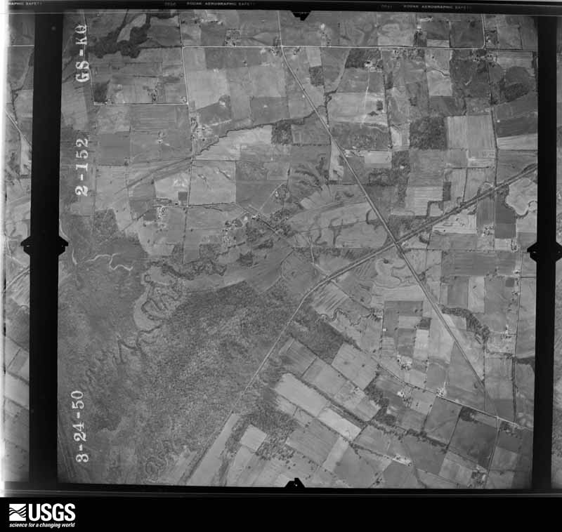
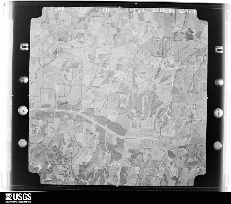
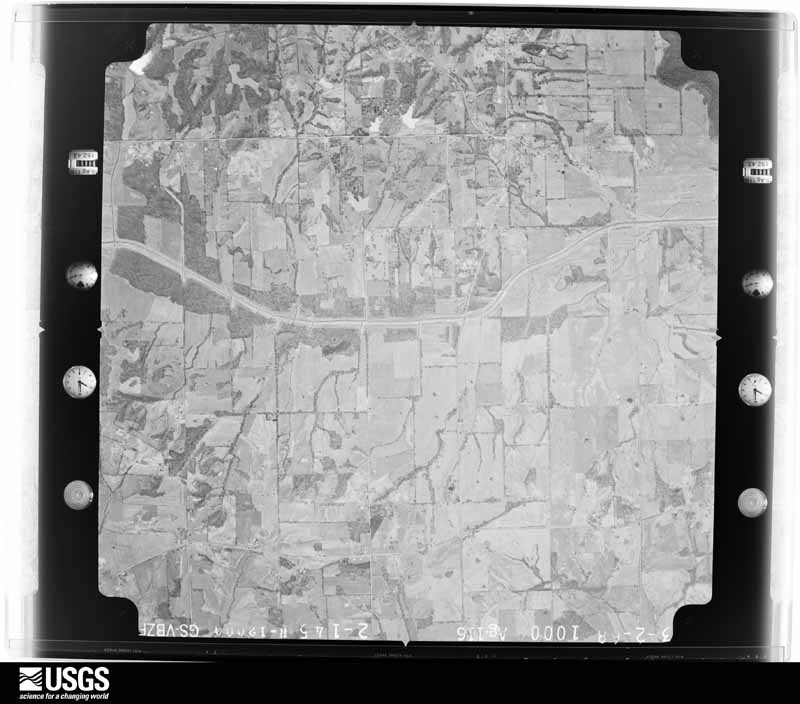
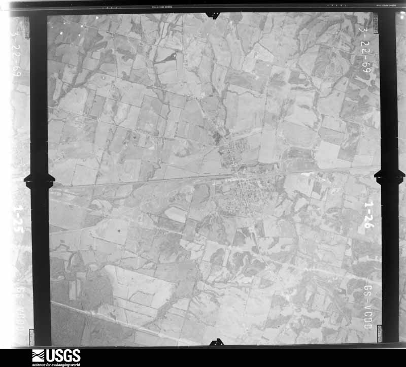
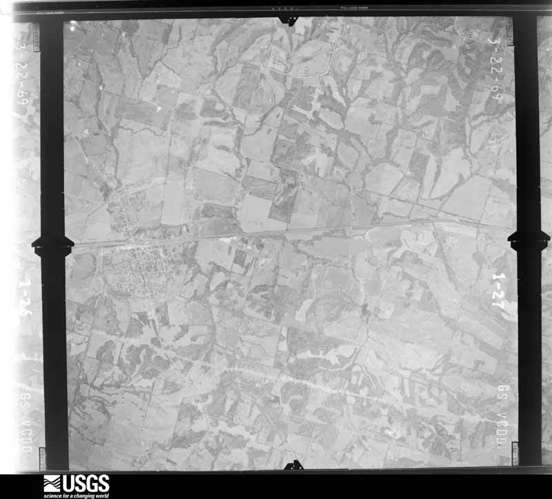
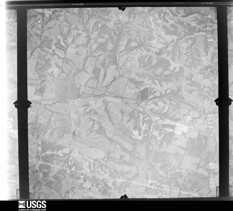
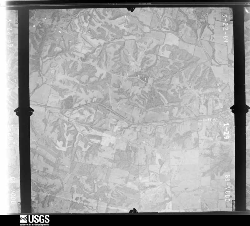
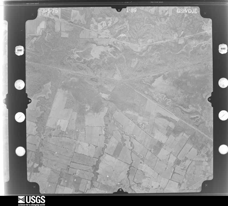
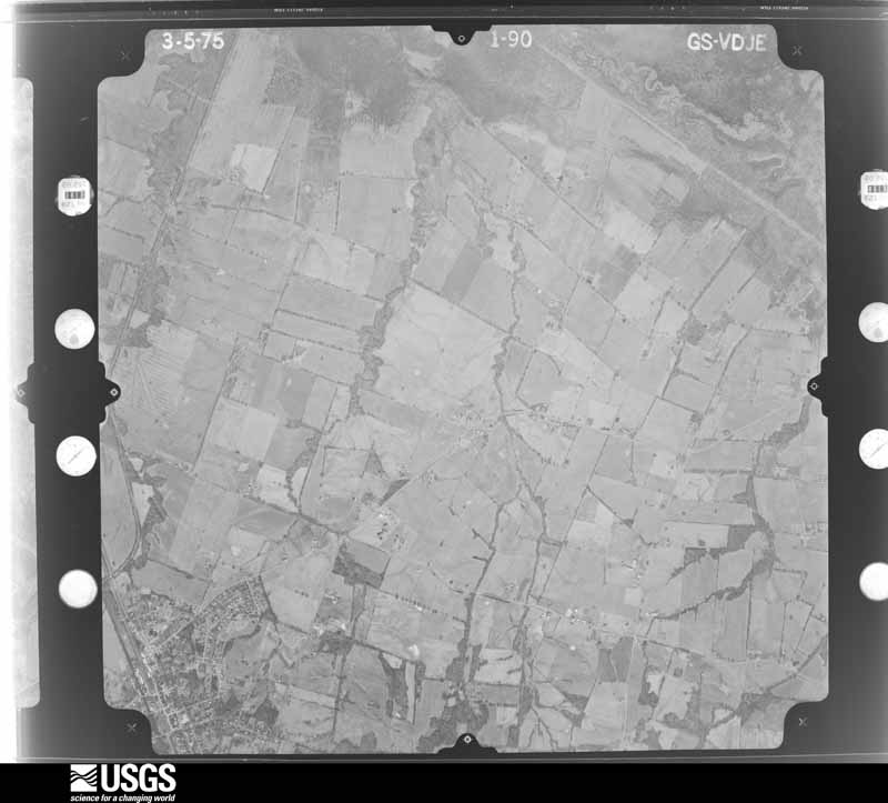
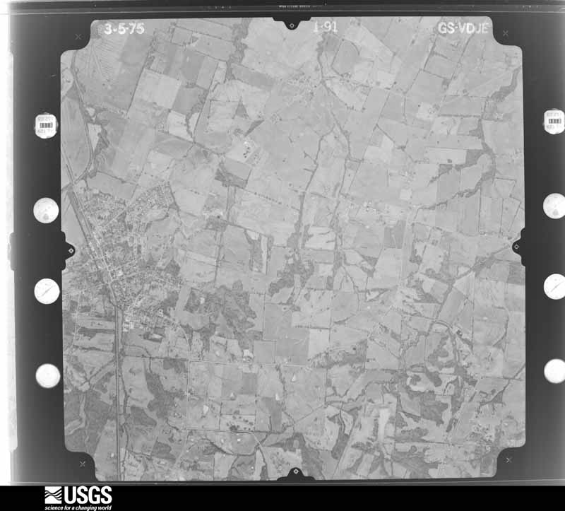
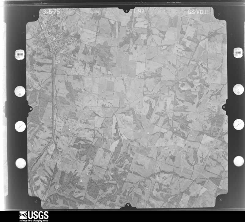
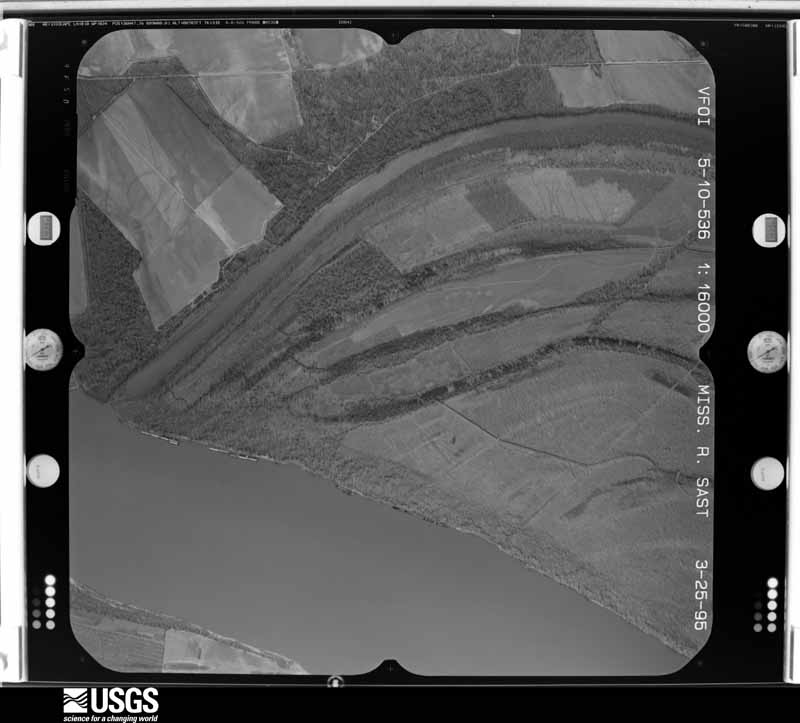
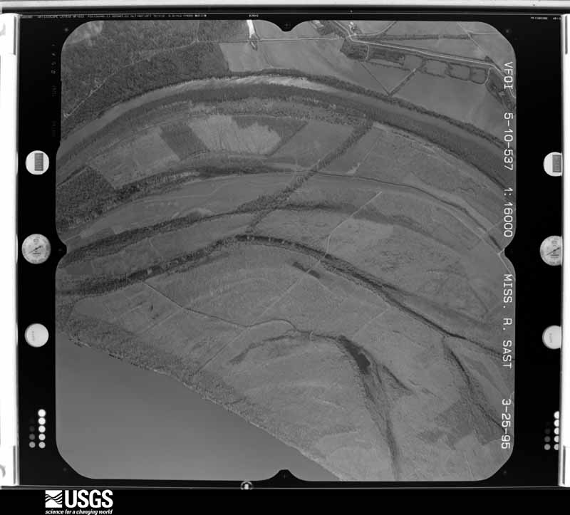
Flown by the U.S. Geological Survey between 1937 and 1989, the Aerial Photo Single Frames collection is the definitive mid-century view of the land: fields, roads and rivers as the camera saw them. The Survey holds 522 frames inside the rectangle that bounds this county; the 25 frames below were taken over the county itself, chosen across the decades of flights (at most four a year from that rectangle), so one flight cannot crowd out the rest. The full set is free to browse and download at EarthExplorer under the dataset Aerial Photo Single Frames.
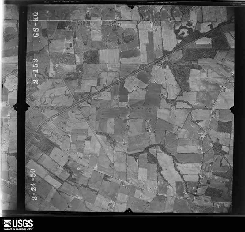
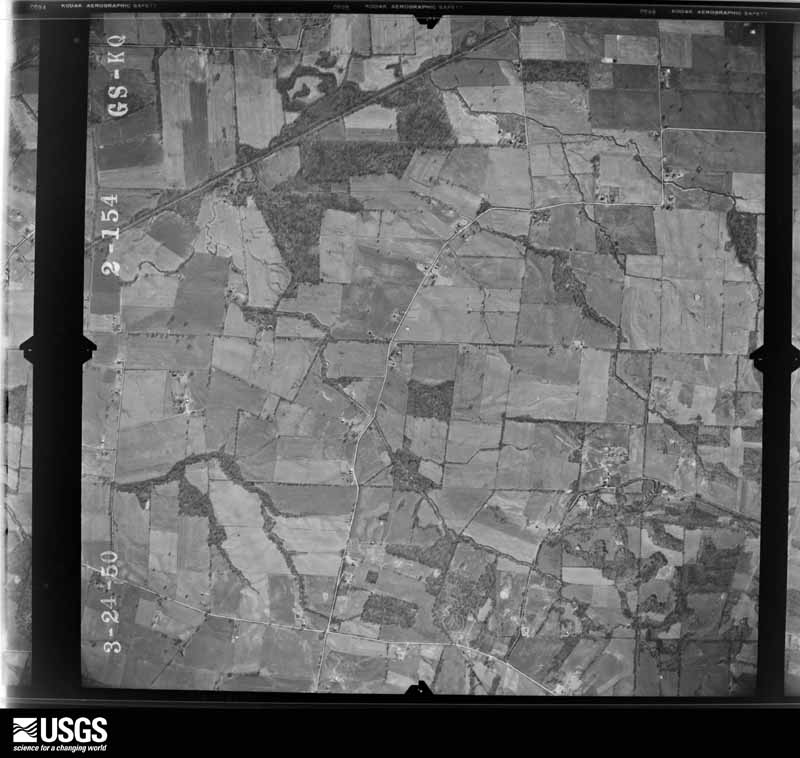
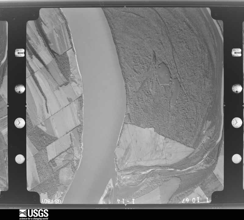
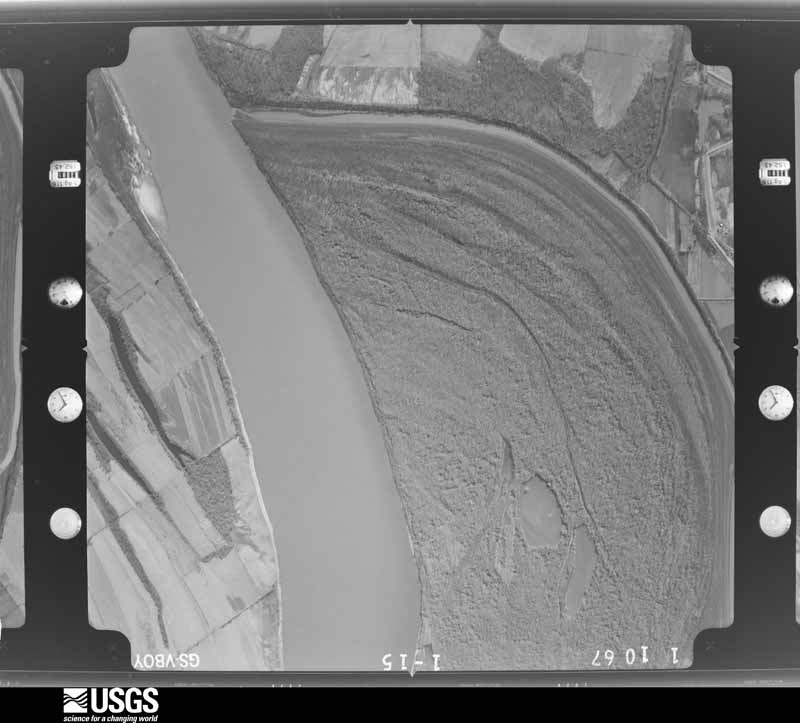





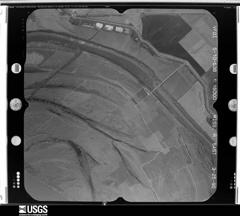
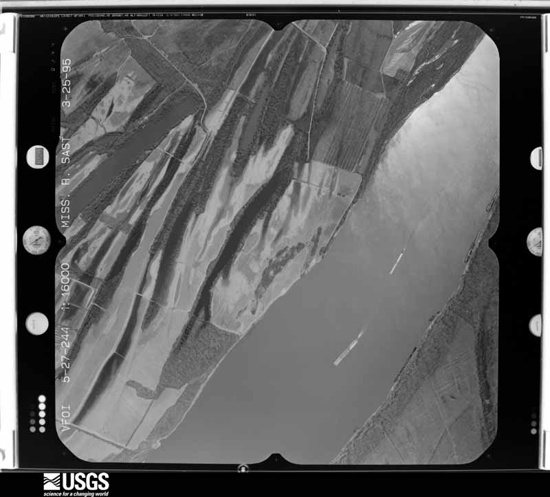
The thermometers that kept this county's weather, and the gages that measured the flow of its streams, as the federal records hold them. The extremes below are measured values from those records, not estimates.
Who lived here in 1950, one enumeration district at a time, as the Census Bureau described each district. Each row opens its official National Archives result, with Population Schedules and ED Maps available there.
Every wildfire the federal occurrence database records inside this county: 34 of them, burning about 130 acres. None started naturally and 1 was recorded as arson. Each settlement page carries the fires within five miles of it.
| Reported cause | Fires |
|---|---|
| Missing data/not specified/undetermined | 13 |
| Recreation and ceremony | 9 |
| Railroad operations and maintenance | 5 |
| Debris and open burning | 4 |
| Smoking | 1 |
| Equipment and vehicle use | 1 |
| Arson/incendiarism | 1 |
The five largest, by the area the report gives. None of them was recorded as arson.
| Date | Cause | Size | Reported by | Name on the report |
|---|---|---|---|---|
| 2 March 2006 | Missing data/not specified/undetermined | 22 acres | Kentucky Division of Forestry | not named |
| 6 March 2010 | Recreation and ceremony | 16 acres | Kentucky Division of Forestry | not named |
| 25 September 2015 | Railroad operations and maintenance | 10 acres | Kentucky Division of Forestry | HWY 1741 |
| 7 October 2011 | Railroad operations and maintenance | 10 acres | Kentucky Division of Forestry | CORN FIELD |
| 7 October 2015 | Railroad operations and maintenance | 8.0 acres | Kentucky Division of Forestry | CR 1318 |
| 25 September 1999 | Debris and open burning | 6.0 acres | Kentucky Division of Forestry | not named |
| 19 October 2003 | Missing data/not specified/undetermined | 6.0 acres | Kentucky Division of Forestry | not named |
| 4 February 2017 | Debris and open burning | 5.0 acres | Kentucky Division of Forestry | WAYNE FREEMAN ROAD |
Every settlement page carries the fires within five miles of it - see the settlement index below.
The NOAA Storm Events Database holds 215 reports for this county, causing no deaths, 3 injuries and about $6,661,000 in recorded property damage. Each settlement page carries the reports that name it.
| Kind of event | Reports |
|---|---|
| Thunderstorm Wind | 93 |
| Hail | 41 |
| Flood | 37 |
| Flash Flood | 30 |
| Tornado | 6 |
| Heavy Rain | 5 |
| Funnel Cloud | 2 |
| Lightning | 1 |
The most serious of them, by death, then injury, then recorded damage. The accounts are quoted exactly as the forecast office filed them.
| When | Event | Place named | Harm | What the report says |
|---|---|---|---|---|
| April 2011 | Tornado (EF2) | Bardwell | 2 hurt, $2,000,000 | The brunt of the damage occurred in the downtown area of Bardwell. One steel building was destroyed. Entire walls were demolished on older two-story brick buildings used as businesses. Several of the damaged buildings were deemed a total loss and were demolished. Approximately thirty large trees were uprooted, and about a hundred smaller trees were broken off or uprooted. More than a dozen wooden power poles were broken off. Two-by-six and two-by-four boards were driven into steel rooftops, walls of homes, and into the ground. Rooftops (including decking) were partially or completely torn off twenty homes and businesses. About fifty windows were blown out. Debris from the brick buildings blocked U.S. Highway 51 and several secondary roads, temporarily closing the roads. The tornado was witnessed by trained spotters. There were two minor injuries. About one million dollars damage occurred to an historic church. Peak winds were estimated near 120 mph. The average path width was about 450 yards. |
| April 2002 | Thunderstorm Wind | Berkeley | 1 hurt, $15,000 | Near Berkley, trees were blown down in a park near the Mississippi River. One of the trees landed on a moving car, crushing the vehicle and trapping the occupant. The person received a broken neck. Near Milburn, numerous trees and power lines were down. A house in Milburn was moderately damaged. |
| February 2025 | Flood | Columbus | $950,000 | Flash flooding on the 15th transitioned to areal flooding early on the 16th and continued through the 17th. Extensive damage to numerous county roads occurred, along with damage to culverts and shoulders. |
| June 1994 | Hail | not stated | $500,000 | Milburn Fire Chief reported many roads were blocked by tree limbs and power lines. Tobacco fields received major damage due to hail. Corn fields were all but wiped out. A few cars were damaged and several houses had structural damage because of trees blown on to them. |
| July 2023 | Flash Flood | Arlington | $500,000 | no account filed |
| January 2000 | Flash Flood | Countywide | $400,000 | no account filed |
| May 2011 | Flood | Winnford | $300,000 | Record flooding occurred along the Mississippi River. The river gages at both Cairo, Illinois and New Madrid, Missouri measured record high levels exceeding the 1937 record flood. The activation of the New Madrid Floodway by the U.S. Army Corps of Engineers on May 2 spared Carlisle County from an even higher crest. With the detonation of the Mississippi River levee at Birds Point, Missouri, the Mississippi River began to drop. Historic flooding of the Mississippi River inundated many low-lying areas. Portions of U.S. Highway 51 were closed due to flooding. |
| March 2006 | Thunderstorm Wind | Countywide | $250,000 | A National Weather Service damage survey indicated a macroburst with peak winds from 90 to 100 MPH caused major damage. Hundreds of trees were blown down countywide, including at least 90 which landed on roads. One tree fell on an occupied car, trapping the occupants. A barn was blown onto a car, but the occupants escaped uninjured. A grain bin was blown onto Highway 849 just east of Kirbyton. There was major structural damage to a couple of buildings near Bardwell. Countywide, there was widespread minor structural damage and shingles blown off. Numerous older barns were flattened or destroyed. A cattle trailer was pushed 3 feet. The damage swath was about 14.5 miles long and 7 miles wide. At its start, the width of the macroburst extended from 4 miles northwest of Bardwell (in the northwest part of the county) to 5 miles west of Arlington (in the southwest part). The damaging winds proceeded east-northeast across the county. |
| October 2013 | Tornado (EF1) | Cunningham | $200,000 | The damage began just south of the intersection of U.S. Highway 62 and County Road 1015. At that location, a very large but shallow-rooted tree was uprooted. A glass door to a home was destroyed. This home along with other homes in the immediate area had minor roof and siding damage. A mobile home was blown off its foundation. Two sheds were destroyed. Further northeast, along the south side of U.S. Highway 62, there were several homes with shingles missing and one home with the garage door blown in. On the north side of Highway 62, a large well-built barn sustained partial roof loss. Following U.S. Highway 62 northeast, there were many trees snapped or uprooted, large branches broken off, and bean fields flattened. An amateur radio tower was bent over, and more homes had minor roof damage. A mobile home was flipped over. Peak winds were estimated near 105 mph. The tornado path continued northeast into McCracken County just south of Lovelaceville. |
| April 1997 | Thunderstorm Wind | Bardwell | $150,000 | no account filed |
| March 2008 | Flood | Bardwell | $100,000 | Flooding closed parts of U.S. Highway 62 and Kentucky 307, both major routes through the county. Highway 80 was closed west of Arlington, where a water rescue was conducted. |
| February 2008 | Thunderstorm Wind | Cunningham | $75,000 | One mobile home was destroyed, with the roof blown off another. Sheds and outbuildings were damaged. Several homes received shingle damage. Numerous trees were blown down. The roof was off a large chicken house. The microburst was about one-half mile wide. |
| April 1999 | Thunderstorm Wind | Cunningham | $75,000 | A thunderstorm downburst with winds estimated near 70 MPH produced a 3-mile long damage swath through the Cunningham area. One barn, two sheds, and numerous trees were blown down. A vehicle was damaged by debris. Elsewhere in Carlisle County, ten trees were down in the Bardwell and Berkley communities. |
| July 2011 | Thunderstorm Wind | Bardwell | $60,000 | One half of a roof was blown off a business along U.S. Highway 51. The other half of the roof was severely damaged. Power lines and some trees were down on U.S. Highway 51. The wind damage was caused by outflow winds that progressed well ahead of the actual thunderstorms. |
| January 2008 | Thunderstorm Wind | Bardwell | $60,000 | A portable horse barn was blown onto U.S. Highway 51. A pavilion covering picnic tables was destroyed. Several trees were uprooted, and large limbs were blown down. Part of the roof of a new storage building was blown off. Power lines were down. A wind gust to 69 mph was measured at the Bardwell Fire Department and County Rescue Squad building. |
| April 2023 | Thunderstorm Wind | Arlington | $50,000 | A tree fell on a trailer. The roof of a church was moderately damaged. A tree fell on a carport and a truck. A carport was blown into two houses and a power pole. |
| February 2018 | Thunderstorm Wind | Kirbyton | $50,000 | On Highway 307, a couple of small grain bins were destroyed. A trampoline and a playhouse were blown around. The damage occurred in very rural farm country. |
| September 2011 | Thunderstorm Wind | Milburn | $50,000 | On Kentucky Highway 548 near Kirbyton, three barns were damaged. Two of those barns were damaged extensively. Farm equipment was tossed about. Near Milburn, lots of tree limbs were blown down along with some downed trees. A flag pole and mailbox pole were snapped. Corn fields were flattened in the Kirbyton and Milburn area. |
| February 2008 | Thunderstorm Wind | Milburn | $50,000 | The Milburn Baptist Church was damaged. Sections of roof were blown off of two homes along State Route 1371. A tree landed on the roof of a home along County Road 1120. A downed tree blocked both lanes of State Route 80 east. |
| July 2001 | Thunderstorm Wind | Bardwell | $50,000 | Numerous trees were reported down, mainly in south and southwest parts of the county. The estimated total number of downed trees was around 70. Tree damage from the storm resulted in numerous state and county road closings, minor damage to one house, and interruption of power to approximately one-third of the county for several hours. |
| June 2000 | Thunderstorm Wind | Cunningham | $50,000 | Numerous trees were blown down. The hardest hit area was Cunningham. A tree blew over on a vehicle. The intersection of Kentucky 121 and U.S. 62 was closed for about 30 to 45 minutes. A tree fell on a couple of poles, knocking out a primary line. |
| June 2018 | Thunderstorm Wind | Cunningham | $45,000 | Widespread wind damage occurred around the county. Numerous trees were blown down, including some trees on power lines. A tree fell on a house in Milburn and also in the Cunningham area on County Road 1054. U.S. Highway 62 between Cunningham and Bardwell was impassable due to downed trees on the road. A 67-year-old man was killed when he lost control of his motorcycle due to a fallen tree on Highway 121 near County Road 1031 (indirect fatality). |
| March 2017 | Thunderstorm Wind | Bardwell | $40,000 | Areas of wind damage occurred in Carlisle County, mostly in areas near U.S. Highway 51. The roof was blown off the agri-chem building along U.S. Highway 51 north of Bardwell. Structural damage was reported in Arlington. |
| February 2008 | Thunderstorm Wind | Magee Spgs | $30,000 | One mobile home suffered severe damage. The roof was peeled off a second mobile home. A nearby vehicle had a 2x4 impaled into one side. |
| March 2006 | Flash Flood | Bardwell | $30,000 | Flash flooding occurred after the second round of thunderstorms in about 6 hours dumped an estimated 3 inches of rain on already moist ground. Many creeks and highways were flooded. Along U.S. Highway 51, extensive flooding in Bardwell affected several businesses, including a senior center and the Bardwell City Utilities building. A couple of roads were closed, including Kentucky 1628 and 1820. |
| May 2011 | Flood | Arlington | $30,000 | no account filed |
| May 2024 | Thunderstorm Wind | Arlington | $25,000 | Multiple trees were downed as a thunderstorm line moved through. Many trees were across KY-80 between Arlington and Milburn. With additional trees down off of KY-307 towards Beulah Baptist Church. |
| May 2006 | Flash Flood | Countywide | $25,000 | An estimated 3 to 5 inches of rain in about two hours caused major flash flooding. On the west side of Arlington, flash flooding of Caney Creek forced the evacuation of three families. High water threatened several residences in and near Arlington. In nearby Berkley, a spotter measured 3.3 inches of rain during the early morning. Due to widespread road flooding countywide, schools were closed, and a state of emergency was declared. About a dozen motorists were rescued from vehicles stranded on flooded roadways. Most of them were on Kentucky 80 near Arlington. Kentucky 80 was closed, but residents along the closed section attempted to drive through the flooding. Other water rescues were on Kentucky 307. The west fork of Mayfield Creek overflowed across U.S. Highway 62 north of Bardwell, making travel hazardous. Kentucky 1031, off Kentucky 121, was impassible due to fast-moving floodwaters. Culverts were washed out on a road near the high school and on a county road just off Kentucky 123. |
| April 1997 | Hail | Bardwell | $25,000 | no account filed |
| July 2023 | Thunderstorm Wind | Arlington | $20,000 | A tree landed on a house in Arlington. Numerous trees were down on County Road 1210 west of Arlington. Trees and fences were down. |
| March 2019 | Tornado (EF1) | Cunningham | $20,000 | This multi-county tornado first touched down near the intersection of Highways 1820 and 1628 in northeast Carlisle County. Only a very small portion of the track occurred in Carlisle County. The tornado proceeded northeast, passing mostly over undeveloped wetlands along Mayfield Creek. The damage path started with spotty tree damage and minor shingle damage. As the tornado approached the Ballard County line, a wider and more definitive path of snapped and uprooted trees became evident. Peak winds in Carlisle County were estimated near 105 mph as it was entering Ballard County. |
| June 2019 | Tornado (EF1) | Bardwell | $20,000 | Numerous trees were uprooted and snapped by this tornado, which passed across U.S. Highway 51. Peak winds were estimated near 110 mph. This was the first of three tornadoes that were spawned along a path extending northeastward to the Paducah area. |
| June 2019 | Thunderstorm Wind | Arlington | $20,000 | Widespread tree and power line damage occurred. |
| April 2011 | Thunderstorm Wind | Magee Spgs | $20,000 | A few garage buildings along Highway 121 were damaged. Three trees were blown down across a road near the Ballard County line. |
| May 2010 | Flood | Milburn | $20,000 | High water was over U.S. Highway 62 between Bardwell and Cunningham. County Road 1146 was closed in the Milburn area due to a washout. |
| May 2009 | Flash Flood | Winnford | $20,000 | A bridge approach was washed out on Kentucky 1741 near the intersection with Kentucky 1022. U.S. Highway 62 was open to traffic but restricted to one lane at mile markers 3 and 10. Several roads had water over them, making them impassable in places. These roads included Highways 408, 1016, 1087, and 1031. |
| July 2009 | Thunderstorm Wind | Berkeley | $20,000 | A camper was blown over, and a carport was blown into the street. A parked car was damaged by the wind-blown carport. Wind gusts were measured up to 70 mph. Kentucky Highway 123 was closed near the 4 mile marker due to downed power lines and debris on the road. Several power poles were down. |
| February 1999 | Thunderstorm Wind | Milburn | $20,000 | Numerous trees and limbs were down. Wind gusts across western Kentucky averaged from 45 to 55 MPH outside of thunderstorms. Isolated higher gusts between 60 and 70 MPH occurred in and near thunderstorms. |
| May 2024 | Thunderstorm Wind | Bardwell | $15,000 | Trees were downed by thunderstorm winds as a line of thunderstorms moved through. |
| May 2024 | Thunderstorm Wind | Bardwell | $15,000 | Multiple trees were downed in the Bardwell area with power outages. Roughly 10% of the county remained without power late morning. |
| October 2013 | Thunderstorm Wind | Bardwell | $15,000 | Severe winds downed a large tree branch approximately 18 inches in diameter from a mature elm tree on the south side of State Route 1377. This tree was 145 yards from the first of two chicken houses which received wind damage to the ridge vent metal covering, along with similar damage to a second and immediately adjacent chicken house. The damage area was about 300 yards long and 70 yards wide. |
| July 2002 | Thunderstorm Wind | Bardwell | $15,000 | Winds gusted to 67 MPH in Bardwell. About 100 trees were blown down in southwest Carlisle County, especially near Highway 1591. At least one of the trees fell through a house. Power lines were blown down on Highway 1371 about 3 miles northeast of Bardwell. |
| October 2007 | Thunderstorm Wind | Bardwell | $12,000 | Two trees were blown down across Highway 1377, blocking the road. In Milburn, a large tree fell on a house. A barn was unroofed. Power lines were down. |
| March 2024 | Thunderstorm Wind | Cunningham | $10,000 | Trees were reported down in the Cunningham area, with power outages occurring. |
| March 2024 | Thunderstorm Wind | Bardwell | $10,000 | Multiple trees were blown down northwest of Bardwell with power outages occurring. |
| May 2024 | Thunderstorm Wind | Cunningham | $10,000 | As a result of thunderstorm downdraft winds, trees were downed near Cunningham with power outages reported. |
| June 2019 | Thunderstorm Wind | Milburn | $10,000 | Part of the roof of an old barn was blown off. The top of a silo was torn off. |
| July 2016 | Flash Flood | Arlington | $10,000 | Highway 80 was closed in Arlington due to flash flooding. Evacuations were considered for some residents in the flooded area. A trained spotter in Arlington measured 5.12 inches of rain in 24 hours. |
| September 2011 | Thunderstorm Wind | Arlington | $10,000 | A small barn or shed was destroyed. Large pieces of wood and metal debris were blown across a road. |
| April 2007 | Thunderstorm Wind | Berkeley | $10,000 | Numerous trees were blown down across far southern parts of the county. The downed trees were from Highway 123 in the Berkeley area to Highways 80 and 307 east of Milburn. |
| March 2006 | Flood | Arlington | $10,000 | Flooding of Cane Creek prompted voluntary evacuations of about 10 houses near Highway 80. Water entered some basements. Water was over roads in some places. |
| June 1998 | Flash Flood | Bardwell | $10,000 | Thunderstorms caused creeks and streams to rise out of their banks, prompting the closure of at least one major road. |
| June 1995 | Thunderstorm Wind | Bardwell | $10,000 | Tree limbs and power lines were downed. At least one vehicle was damaged. |
| January 1997 | Hail | Cunningham | $10,000 | no account filed |
| April 1996 | Thunderstorm Wind | Arlington | $10,000 | no account filed |
| July 2019 | Thunderstorm Wind | Bardwell | $8,000 | Several trees and limbs were blown down, along with part of a barn roof. A wind gust to 67 mph was reported by a television station weather viewer. |
| November 1996 | Flash Flood | Arlington | $7,000 | no account filed |
| May 2011 | Thunderstorm Wind | Milburn | $6,000 | A roof was blown off a barn near Milburn. |
| July 2023 | Thunderstorm Wind | Cunningham | $5,000 | Trees were down. |
| June 2019 | Tornado (EF1) | Magee Spgs | $5,000 | Trees were snapped and uprooted by this very brief tornado, which crossed Highway 121 near the Ballard County line. Peak winds were estimated near 110 mph. This tornado was the second of three that were spawned along a path from western Carlisle County to McCracken County. |
The Survey's mineral resources record lists 1 working inside this county. It still produces. Each settlement page carries the workings within five miles of it.
| Commodity | Workings |
|---|---|
| Clay | 1 |
The least common of them first, because a county's hundredth gravel pit says nothing its first ten did not.
| Where | Site | Commodity | Status | Recorded |
|---|---|---|---|---|
| Mcgary Mine | Clay | Producer |
Named settlements recorded in the Geographic Names Information System, each with the topographic sheets covering it. Villages, hamlets and abandoned places alike. Each is shown with the nearest named watercourse or landform and the survey quadrangle it falls on. The 1 place that was also surveyed for fire insurance comes first, with the number of atlases and photographs held for them.
Bardwell census division · 42023 · On Central Creek · Arlington quadrangle
16 sheets, 1939 to 1985
Fire insurance: 5 atlases
Bardwell census division · 42023 · Milburn quadrangle
9 sheets, 1951 to 1986
No longer a settlement
Arlington census division · 42021 · On Caddle Creek · Arlington quadrangle
16 sheets, 1939 to 1985
Bardwell census division · 42023 · Arlington quadrangle
16 sheets, 1939 to 1985
No longer a settlement
Cunningham census division · 42035 · On Heflin Creek · Lovelaceville quadrangle
7 sheets, 1952 to 1986
Cunningham census division · 42035 · On Lick Creek · Blandville quadrangle
10 sheets, 1951 to 1986
Arlington census division · 42021 · On Guess Creek · Milburn quadrangle
9 sheets, 1951 to 1986
Arlington census division · 42039 · Fancy Farm quadrangle
9 sheets, 1952 to 1986
No longer a settlement
Cunningham census division · 42023 · On Hurricane Creek · Blandville quadrangle
10 sheets, 1951 to 1986
Bardwell census division · 42023 · Arlington quadrangle
16 sheets, 1939 to 1985
No longer a settlement
Bardwell census division · 42023 · Blandville quadrangle
10 sheets, 1951 to 1986
No longer a settlement
Cunningham census division · 42023 · Blandville quadrangle
10 sheets, 1951 to 1986
No longer a settlement
Cunningham census division · 42035 · On Barn Branch · Lovelaceville quadrangle
7 sheets, 1952 to 1986
Cunningham census division · 42039 · Fancy Farm quadrangle
9 sheets, 1952 to 1986
No longer a settlement
Arlington census division · 42021 · On Hopewell Creek · Milburn quadrangle
9 sheets, 1951 to 1986
Cunningham census division · 42035 · On Heflin Creek · Lovelaceville quadrangle
7 sheets, 1952 to 1986
Bardwell census division · 42023 · On Gray Creek · Wickliffe quadrangle
15 sheets, 1939 to 1985
Cunningham census division · 42035 · Lovelaceville quadrangle
7 sheets, 1952 to 1986
Cunningham census division · 42035 · Lovelaceville quadrangle
7 sheets, 1952 to 1986
No longer a settlement
The vanished settlements of Carlisle County: the places named above that are no longer on the map.
16 topographic sheets and 5 fire insurance atlases, 1901 to 1943