 Block
From the record
2 National Register listings published here.
Sources: the National Register database, National Park Service
47 topographic sheets cover 61 settlements here, and 2 properties are on the National Register of Historic Places.
2 National Register listings published here.
Sources: the National Register database, National Park Service
Every property in this county listed on the National Register of Historic Places, with the year it was listed and the federal nomination document.
| Photograph | Property | Type | Listed | Reference |
|---|---|---|---|---|
 | Casey County Courthouse | building | 1977 | 77000607 |
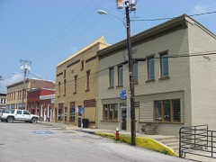 | Liberty Downtown Historic District | district | 2008 | 08000004 |
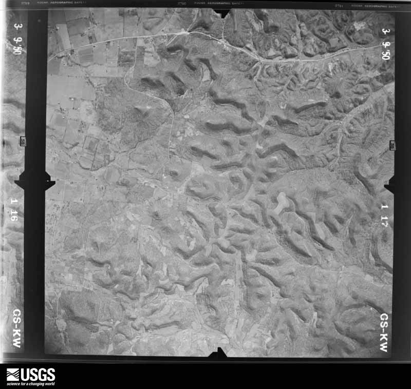
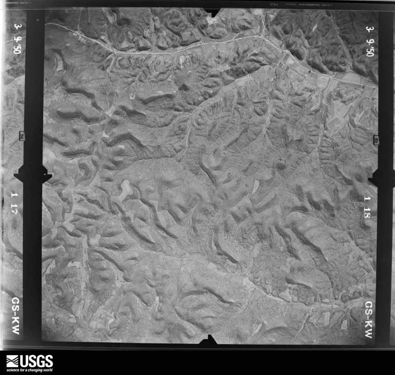
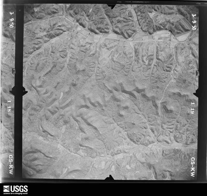
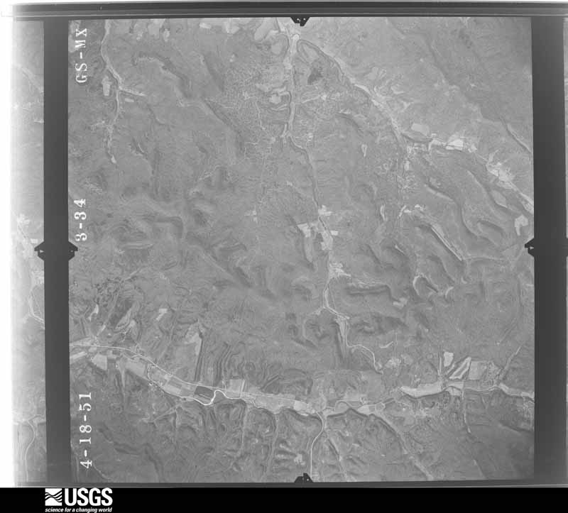
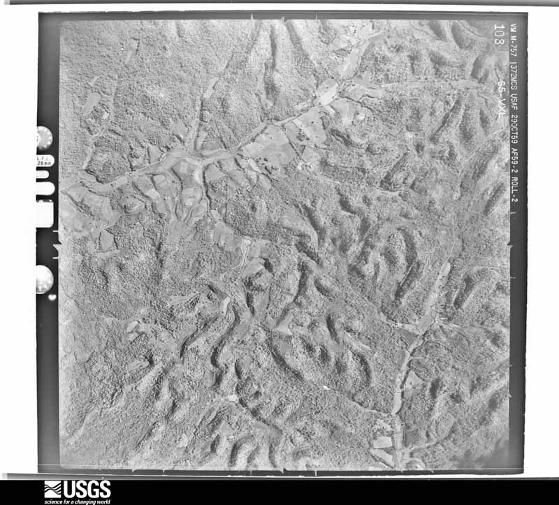
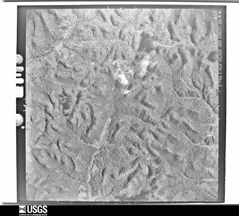
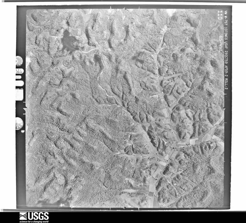
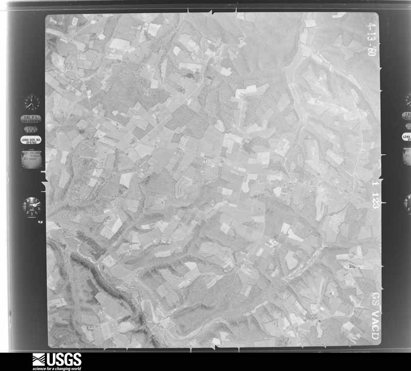
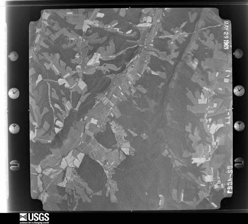
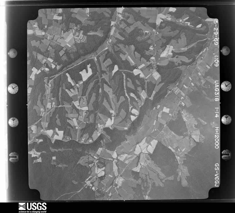
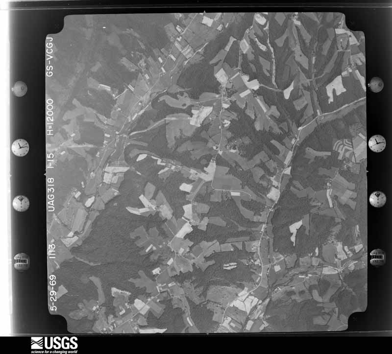
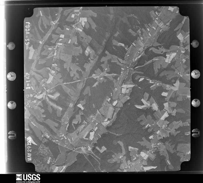
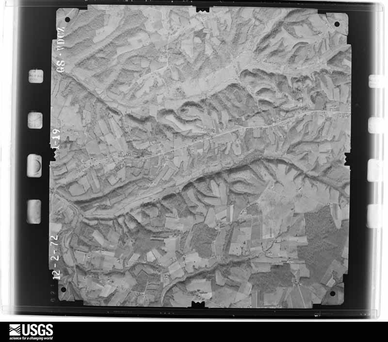
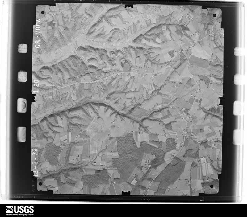
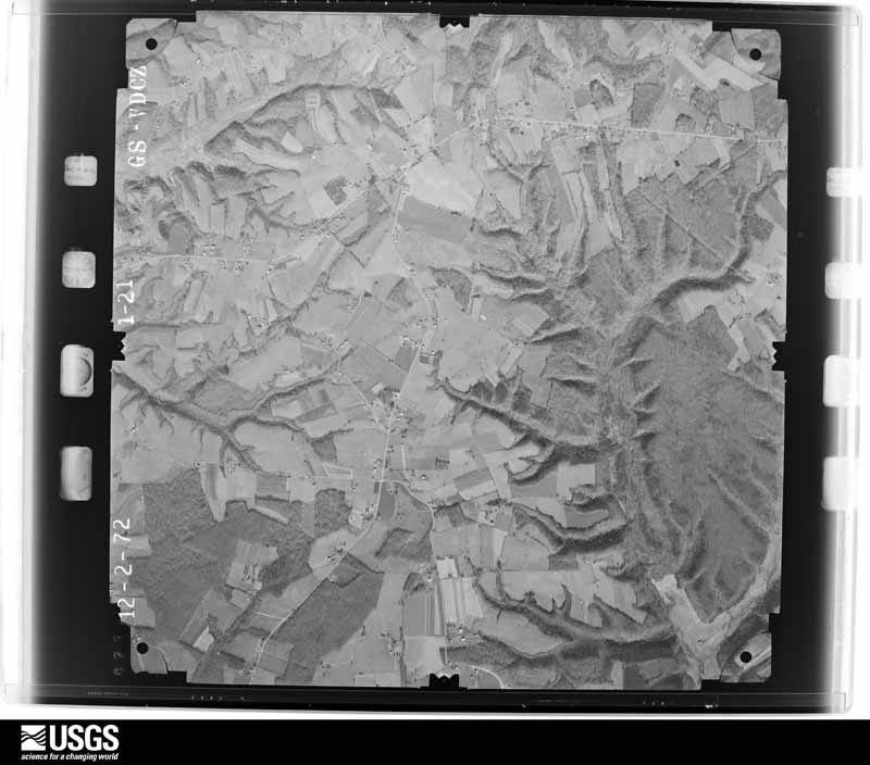
Flown by the U.S. Geological Survey between 1937 and 1989, the Aerial Photo Single Frames collection is the definitive mid-century view of the land: fields, roads and rivers as the camera saw them. The Survey holds 663 frames inside the rectangle that bounds this county; the 23 frames below were taken over the county itself, chosen across the decades of flights (at most four a year from that rectangle), so one flight cannot crowd out the rest. The full set is free to browse and download at EarthExplorer under the dataset Aerial Photo Single Frames.
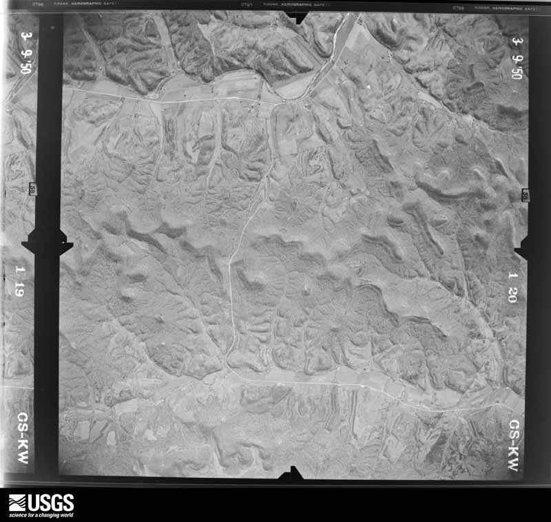
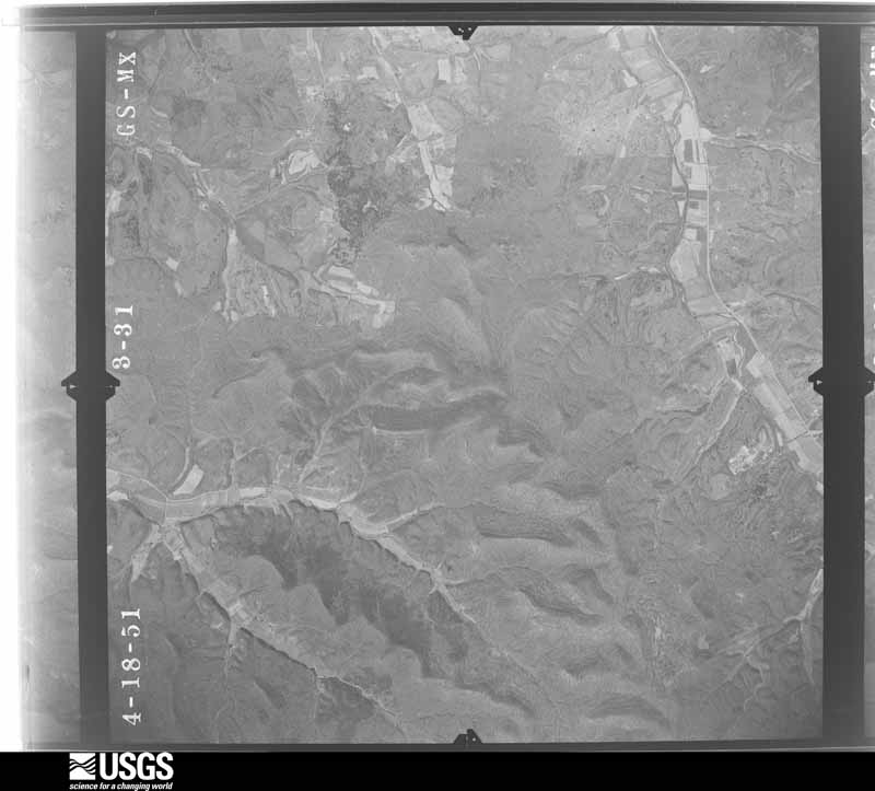
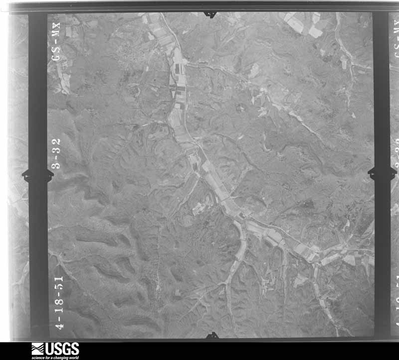
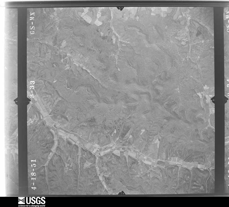
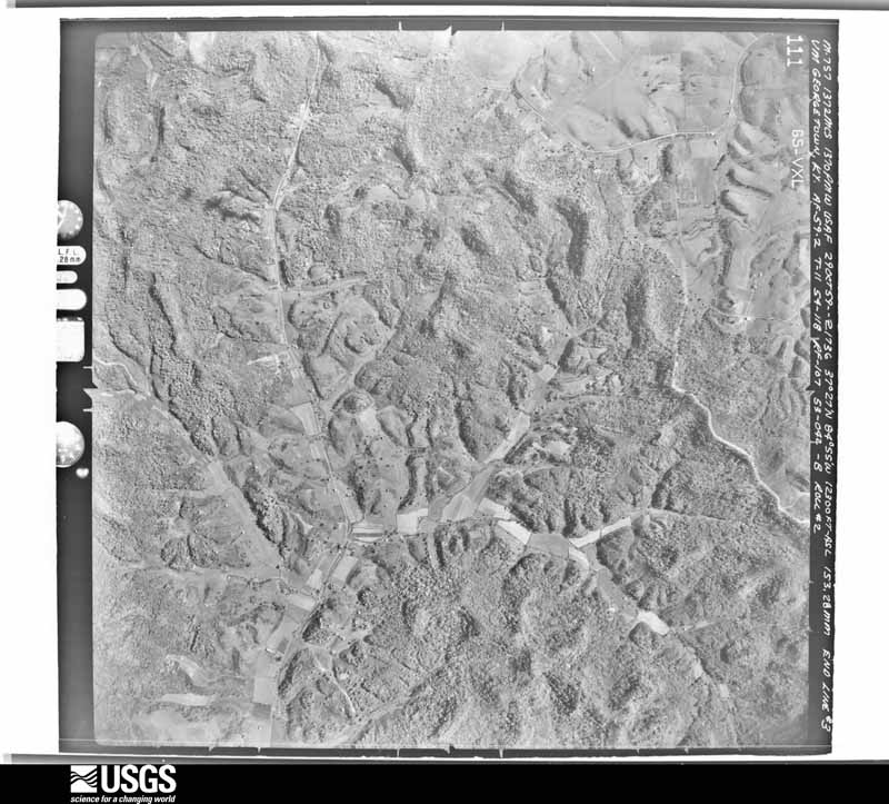
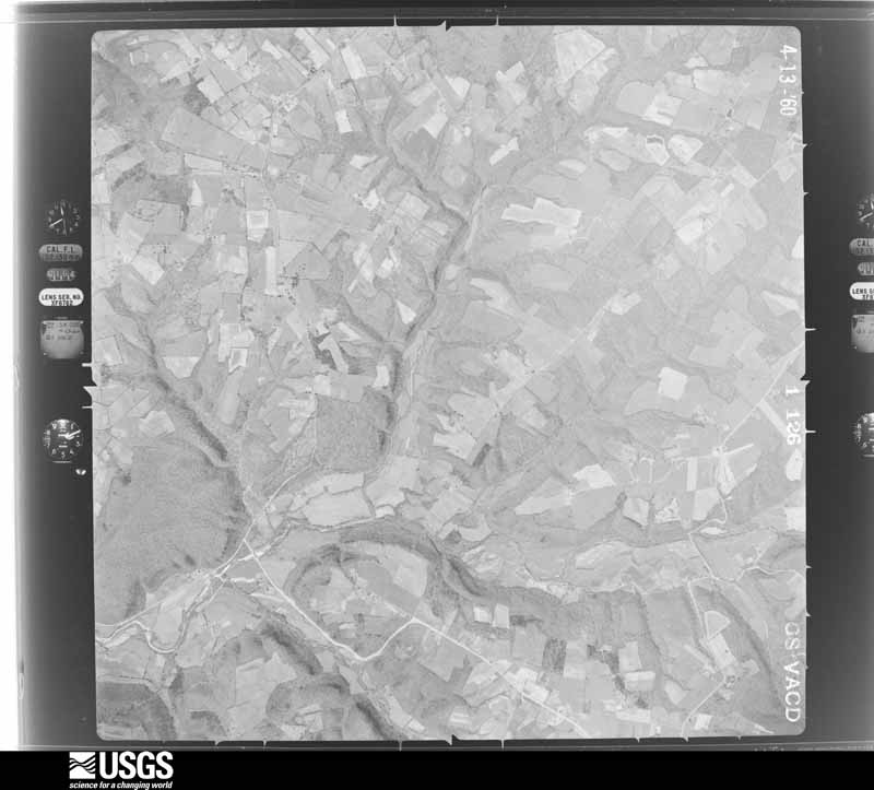
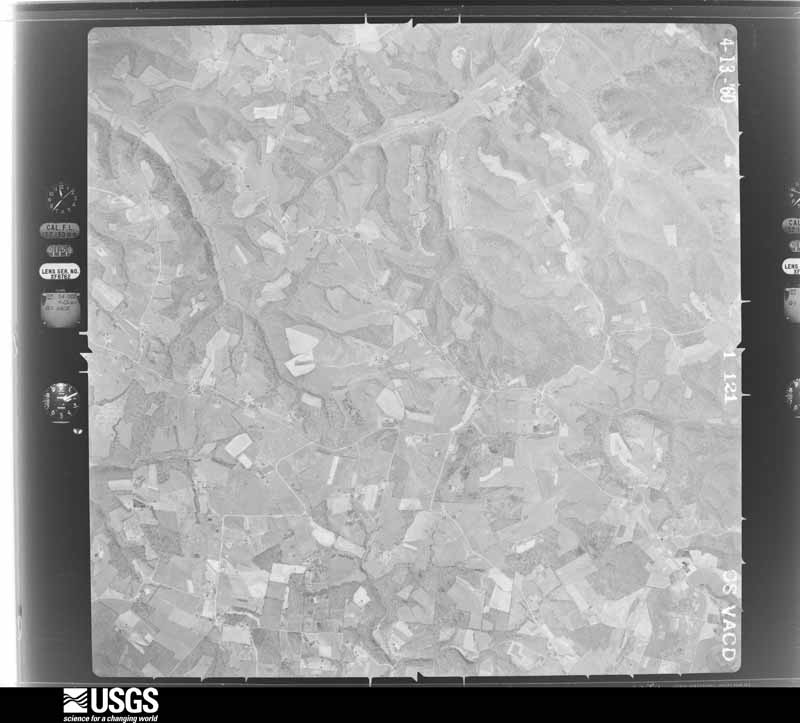
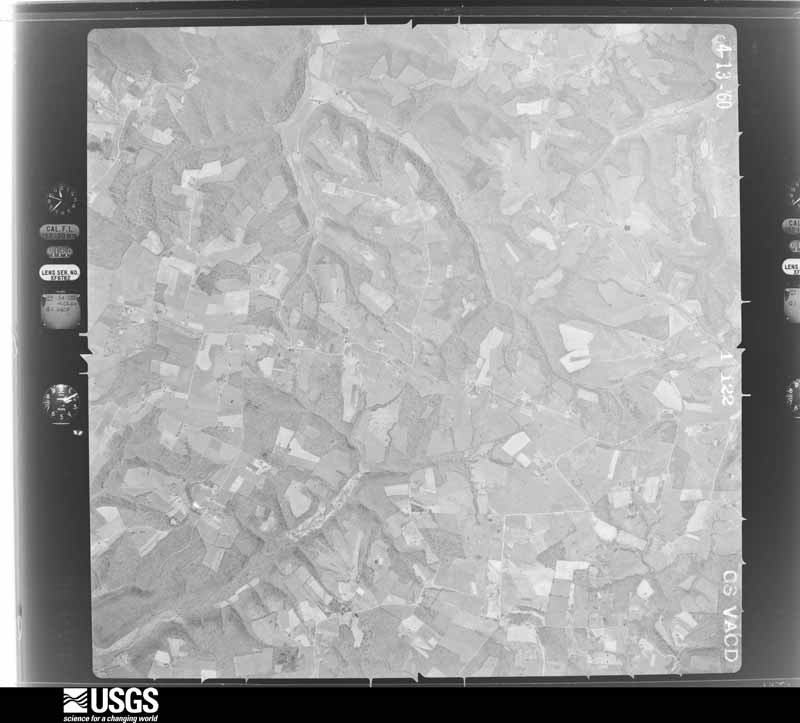
The thermometers that kept this county's weather, as the federal records hold them. The extremes below are measured values from those records, not estimates.
Who lived here in 1950, one enumeration district at a time, as the Census Bureau described each district. Each row opens its official National Archives result, with Population Schedules and ED Maps available there.
Every wildfire the federal occurrence database records inside this county: 225 of them, burning about 3,623 acres. 1 started naturally and 40 were recorded as arson. Each settlement page carries the fires within five miles of it.
| Reported cause | Fires |
|---|---|
| Debris and open burning | 79 |
| Missing data/not specified/undetermined | 60 |
| Arson/incendiarism | 40 |
| Recreation and ceremony | 20 |
| Railroad operations and maintenance | 9 |
| Equipment and vehicle use | 8 |
| Smoking | 7 |
| Natural | 1 |
| Misuse of fire by a minor | 1 |
The five largest, by the area the report gives. Two of them were set deliberately.
| Date | Cause | Size | Reported by | Name on the report |
|---|---|---|---|---|
| 22 March 1999 | Arson/incendiarism | 155 acres | Kentucky Division of Forestry | not named |
| 9 March 2000 | Debris and open burning | 132 acres | Kentucky Division of Forestry | not named |
| 18 March 2004 | Missing data/not specified/undetermined | 100 acres | Kentucky Division of Forestry | not named |
| 3 April 2003 | Missing data/not specified/undetermined | 100 acres | Kentucky Division of Forestry | not named |
| 12 April 2006 | Missing data/not specified/undetermined | 90 acres | Kentucky Division of Forestry | not named |
| 6 April 2010 | Recreation and ceremony | 90 acres | Kentucky Division of Forestry | not named |
| 7 March 2000 | Arson/incendiarism | 80 acres | Kentucky Division of Forestry | not named |
| 5 November 2005 | Missing data/not specified/undetermined | 77 acres | Kentucky Division of Forestry | not named |
Every settlement page carries the fires within five miles of it - see the settlement index below.
The NOAA Storm Events Database holds 252 reports for this county, causing 1 death, 3 injuries and about $8,890,000 in recorded property damage. Each settlement page carries the reports that name it.
| Kind of event | Reports |
|---|---|
| Thunderstorm Wind | 151 |
| Hail | 53 |
| Flash Flood | 26 |
| Flood | 12 |
| Tornado | 8 |
| Heavy Rain | 1 |
| Lightning | 1 |
The most serious of them, by death, then injury, then recorded damage. The accounts are quoted exactly as the forecast office filed them.
| When | Event | Place named | Harm | What the report says |
|---|---|---|---|---|
| April 2025 | Lightning | Liberty | 1 killed | A man was sitting on his porch on the 2600 block of State Road 1547 when he was struck and killed by lightning. |
| April 1991 | Thunderstorm Wind | not stated | 2 hurt | no account filed |
| April 1996 | Thunderstorm Wind | Liberty | 1 hurt, $15,000 | no account filed |
| April 1998 | Thunderstorm Wind | Dunnville | $5,000,000 | DES reported an 8 mile path of destruction resulted from severe thunderstorm winds. 16 structures received major damage, while 35 received minor damage. Losses were estimated at 5 million dollars. |
| April 1974 | Tornado (F3) | not stated | $2,500,000 | no account filed |
| September 2020 | Flood | Beech Bottom | $250,000 | Cale Brown Road was closed at Caney Fork due to a bridge being out due to flooding. |
| March 1997 | Tornado (F1) | Dunnville | $200,000 | no account filed |
| February 2008 | Thunderstorm Wind | Liberty | $100,000 | A barn was destroyed and several others were heavily damaged norhteast of Middleburg on Highway 198. Several large pine trees were snapped on a golf course on Short Town Road. |
| April 2002 | Thunderstorm Wind | Countywide | $100,000 | Ten barns were damaged or destroyed around the county. There was structural damage to a house near Bethel Ridge. A house and barn were damaged near Yosemite. |
| February 2018 | Thunderstorm Wind | Beech Bottom | $75,000 | NWS Storm Survey found damage consistent of straight line winds in northern Casey County. A porch awning was ripped off a home and thrown over the roof into a free standing antenna. A breezeway also had damage to its ceiling and a door was pushed inward off the frame. Downstream, a fifth wheel RV was knocked over, falling into some dirt. Part of the house roof ended up downstream a quarter mile, where a forest along a downhill slope showed several trees snapped. |
| May 2017 | Flash Flood | Clementsville | $50,000 | The Casey Emergency Manager reported that Highway 70 was closed to mudslides. |
| April 2016 | Hail | Beech Bottom | $50,000 | Golf ball sized hail was reported. |
| April 2007 | Tornado (EF1) | Liberty Dillon Arpk | $50,000 | The tornado touched down four miles northwest of Dunnville and skipped along the tops of ridges, exiting Casey County near Mintonville. The worst damage, near the upper bound of EF1 around 105 mph, was done to a large barn that was moved 30 feet off its 8 high cement block foundation, with nearly 2/3 of the foundation collapsing. This was near the initial touchdown location. Damage to a well-constructed home southwest of Mintonville also was rated high-end EF1, with estimated winds of 105 mph, just before the tornado exited the county. |
| May 2017 | Flash Flood | Liberty | $40,000 | The Casey County Emergency Manager reported water rescues due to high water across numerous roads. Many roads across the county were closed due to the flash flooding. |
| March 2017 | Thunderstorm Wind | Lawhorn Hill | $35,000 | A trained spotter reported power lines down at the intersection of Highway 501 and 1649. |
| November 2000 | Thunderstorm Wind | Liberty | $35,000 | no account filed |
| July 2004 | Thunderstorm Wind | Liberty | $30,000 | Two porches were blown away. |
| August 2003 | Thunderstorm Wind | Liberty | $30,000 | Trees and power lines were downed in several places. A barn's roof was blown off. |
| February 2008 | Thunderstorm Wind | Beech Bottom | $25,000 | Straight line winds blew shingles off roofs and downed trees along Arnold Hale Road. |
| August 2003 | Thunderstorm Wind | Liberty | $25,000 | Roof damage to a building was reported. |
| April 2000 | Thunderstorm Wind | Liberty | $25,000 | A barn was blown down, and also pea size hail was observed. |
| January 1999 | Thunderstorm Wind | Liberty | $25,000 | Trailer destroyed, tree down on home, power lines down |
| February 2008 | Thunderstorm Wind | Clementsville | $20,000 | Downburst winds damaged some outbuildings and downed several trees. |
| November 2002 | Thunderstorm Wind | Mintonville | $20,000 | The roof was blown off a barn. |
| January 2002 | Thunderstorm Wind | Liberty | $20,000 | Numerous trees were blown down. Wind damaged the roff of a building and blew out the window at a grocery store. |
| July 1996 | Flash Flood | Northern Part | $20,000 | no account filed |
| December 2019 | Flash Flood | Beech Bottom | $15,000 | A swift water rescue was successfully performed in Brush Creek near Highway 49 in Liberty, Kentucky. The event time is estimated based on rainfall in the area. |
| June 2018 | Thunderstorm Wind | Middleburg | $15,000 | A few large trees down as well as a barn down. |
| September 2020 | Flash Flood | Clementsville | $10,000 | A vehicle stalled in high water near Highway 70 and 551. |
| August 2019 | Thunderstorm Wind | Beech Bottom | $10,000 | The media reported a tree and power lines were down along Caney Fork Road. |
| December 2019 | Flood | Middleburg | $10,000 | A vehicle stalled in high water on Highway 198 near East Highway 70. This area is a known flood area. |
| July 2016 | Thunderstorm Wind | Pricetown | $10,000 | Trained spotters reported numerous power lines down in the area due to severe thunderstorm winds. |
| July 2015 | Thunderstorm Wind | Liberty | $10,000 | The Casey County emergency manager reported numerous trees down and power outages in the area from a severe thunderstorm. |
| June 2013 | Flash Flood | Butchertown | $10,000 | The Casey County emergency manager reported that a road 4 miles northeast of Ellisburg was flooded and partially washed away. |
| February 2012 | Tornado (EF2) | Pumpkin Chapel | $10,000 | An EF-2 tornado that begin just north of Russell Springs in Russell County, weakened as it moved into Casey County just north of State Highway 80. While in Casey County, the twister did EF-1 damage to an outbuilding. Numerous trees were uprooted and destroyed along a 1.4 mile path in Casey County before the tornado lifted two and a quarter miles west-southwest of Windsor. |
| May 2002 | Hail | Yosemite | $10,000 | Windows were knocked out of buildings. |
| March 1997 | Thunderstorm Wind | Liberty | $10,000 | no account filed |
| April 2016 | Thunderstorm Wind | Lanhamtown | $5,000 | A Casey County official reported trees down and power outages. |
| June 2005 | Thunderstorm Wind | Dunnville | $5,000 | Trees were downed and there was unspecified damage to a building. |
| October 2001 | Thunderstorm Wind | Liberty | $5,000 | Several trees were downed, and one was blown on to a truck. |
| June 1996 | Thunderstorm Wind | Yosemite | $5,000 | no account filed |
| May 1996 | Thunderstorm Wind | Countywide | $5,000 | no account filed |
| July 2014 | Thunderstorm Wind | Cantown | $3,000 | The National Weather Service conducted a survey of extensive tree damage along a one mile path parallel to Victory Road southeast of Liberty Kentucky. Overall, around 50 to 100 hard and softwood trees were either snapped or toppled. Damage began around one mile west of the intersection of Victory and Poplar Springs road, at the western end of Victory Road. Winds estimated at up to 80 mph produced concentrated tree damage around one half mile east of the initial damage. One well built house had some minor gutter and roof damage. |
| February 2009 | Thunderstorm Wind | Liberty | $1,000 | Trees and power lines were downed. A trampoline was also blown into a road near Liberty. |
| January 2008 | Thunderstorm Wind | Clementsville | $1,000 | Thunderstorm winds caused minor damage to a store in Clementsville. Winds threw a trampoline against a tree. Many trees and power lines were downed. |
| February 2025 | Thunderstorm Wind | Jacktown | - | A carport pole barn was rolled over by strong winds at a residence on Button Knob Road. |
| May 2025 | Thunderstorm Wind | Beech Bottom | - | A tree was blown down along Sharp Road. |
| May 2025 | Thunderstorm Wind | Windsor | - | Multiple trees were blown down in Windsor. |
| May 2025 | Thunderstorm Wind | Liberty | - | A tree was blown down onto powerlines on Conner Avenue. |
| May 2025 | Thunderstorm Wind | Windsor | - | Multiple trees were blown down across Goodin Road. |
| June 2025 | Thunderstorm Wind | Dunnville | - | A large tree limb was blown down, blocking one lane of US Route 127 in southern Casey County. |
| February 2025 | Flash Flood | Liberty | - | Three water rescues took place across Casey County. |
| April 2025 | Flash Flood | Lanhamtown | - | Highway 127 flooded north of Liberty. Water receded in the night. |
| June 2025 | Thunderstorm Wind | Lawhorn Hill | - | Scattered tree damage was caused by strong thunderstorm winds across Casey County. |
| April 2025 | Thunderstorm Wind | Yosemite | - | A tree fell down. |
| April 2025 | Flash Flood | Lanhamtown | - | There was a water rescue for a person in a semi truck on Dry Ridge Road. |
| April 2025 | Flash Flood | Middleburg | - | There was water flowing over Mill Dam Road. |
| April 2025 | Thunderstorm Wind | Lanhamtown | - | A tree was on US 127 near the Casey County Board of Education. |
| April 2025 | Thunderstorm Wind | Middleburg | - | There were multiple trees down between Middlesburg and Yosemite. There were also two barns heavily damaged and a house with part of its roof torn off. |
| September 2025 | Thunderstorm Wind | Yosemite | - | There was a tree blocking the road near Old Pollys Shoe Store. There were also trees down on Upper Brush Creek Road and at the intersection of Angel Ridge and KY 501. |
The Survey's mineral resources record lists 2 workings inside this county. 1 still produces and 1 is closed or unrecorded. Each settlement page carries the workings within five miles of it.
| Commodity | Workings |
|---|---|
| Clay | 1 |
| Stone, Crushed/Broken | 1 |
The least common of them first, because a county's hundredth gravel pit says nothing its first ten did not.
| Where | Site | Commodity | Status | Recorded |
|---|---|---|---|---|
| Bethelridge Mine | Stone, Crushed/Broken | Producer | ||
| Roadcut Bench Clay Bed | Clay | Prospect |
Named settlements recorded in the Geographic Names Information System, each with the topographic sheets covering it. Villages, hamlets and abandoned places alike. Each is shown with the nearest named watercourse or landform and the survey quadrangle it falls on.
Dunnville census division · 42539 · Near Oak Hill Ridge · Mintonville quadrangle
8 sheets, 1953 to 1982
Clementsville census division · 42539 · On Gum Lick Creek · Clementsville quadrangle
10 sheets, 1952 to 1986
Clementsville census division · 42733 · On Bull Run Creek · Mannsville quadrangle
9 sheets, 1952 to 1986
Liberty census division · 42539 · On Reynold Creek · Liberty quadrangle
7 sheets, 1952 to 1982
Middleburg census division · 42516 · Near Bethel Knob · Mintonville quadrangle
8 sheets, 1953 to 1982
Liberty census division · 42539 · On Calhoun Creek · Liberty quadrangle
7 sheets, 1952 to 1982
No longer a settlement
Dividing Ridge census division · 40464 · On Frances Branch · Parksville quadrangle
10 sheets, 1905 to 1991
Middleburg census division · 42566 · Near Black Ridge · Yosemite quadrangle
8 sheets, 1952 to 1982
No longer a settlement
Liberty census division · 42539 · Near Wilson Ridge · Liberty quadrangle
7 sheets, 1952 to 1982
No longer a settlement
Liberty census division · 42539 · Near Hacker Ridge · Liberty quadrangle
7 sheets, 1952 to 1982
Dividing Ridge census division · 40437 · On Cow Creek · Hustonville quadrangle
8 sheets, 1952 to 1982
No longer a settlement
Dividing Ridge census division · 40437 · On Murphy Branch · Ellisburg quadrangle
8 sheets, 1952 to 1982
Clementsville census division · 42539 · On Woods Creek · Clementsville quadrangle
10 sheets, 1952 to 1986
Liberty census division · 42539 · Near Tennessee Ridge · Clementsville quadrangle
10 sheets, 1952 to 1986
Dividing Ridge census division · 42539 · Near Peyton Ridge · Ellisburg quadrangle
8 sheets, 1952 to 1982
No longer a settlement
Dunnville census division · 42528 · On Goose Creek · Dunnville quadrangle
9 sheets, 1953 to 1986
Dividing Ridge census division · 40437 · On Coffman Branch · Ellisburg quadrangle
8 sheets, 1952 to 1982
Liberty census division · 42539 · On Garrett Creek · Phil quadrangle
7 sheets, 1953 to 1982
Middleburg census division · 42539 · On Mill Creek · Mintonville quadrangle
8 sheets, 1953 to 1982
No longer a settlement
Clementsville census division · 42539 · Near Tennessee Ridge · Clementsville quadrangle
10 sheets, 1952 to 1986
No longer a settlement
Liberty census division · 40437 · Near Bark Ridge · Ellisburg quadrangle
8 sheets, 1952 to 1982
No longer a settlement
Liberty census division · 42539 · On Strong Branch · Liberty quadrangle
7 sheets, 1952 to 1982
Dividing Ridge census division · 40009 · On Martin Creek · Bradfordsville NE quadrangle
8 sheets, 1953 to 1986
Middleburg census division · 40489 · Near Hamilton Hollow · Eubank quadrangle
8 sheets, 1952 to 1982
No longer a settlement
Liberty census division · 42539 · Near Bruce Chapel Hollow · Phil quadrangle
7 sheets, 1953 to 1982
Liberty census division · 42539 · On Doe Creek · Liberty quadrangle
7 sheets, 1952 to 1982
Liberty census division · 42539 · Near Elliott Knob · Yosemite quadrangle
8 sheets, 1952 to 1982
Liberty census division · 42539 · Near Mill Branch Hollow · Liberty quadrangle
7 sheets, 1952 to 1982
Dunnville census division · 42528 · On Brock Creek · Phil quadrangle
7 sheets, 1953 to 1982
No longer a settlement
Dividing Ridge census division · 42539 · Near Grape Knob · Ellisburg quadrangle
8 sheets, 1952 to 1982
No longer a settlement
Middleburg census division · 42541 · On Knob Lick Creek · Yosemite quadrangle
8 sheets, 1952 to 1982
Dunnville census division · 42516 · Near Tarter Knob · Mintonville quadrangle
8 sheets, 1953 to 1982
Liberty census division · 42539 · On Moccasin Creek · Liberty quadrangle
7 sheets, 1952 to 1982
Middleburg census division · 42566 · Near Calvary Ridge · Yosemite quadrangle
8 sheets, 1952 to 1982
Dividing Ridge census division · 40437 · Near Turkeyfoot Knob · Ellisburg quadrangle
8 sheets, 1952 to 1982
No longer a settlement
Dividing Ridge census division · 40437 · On Ellis Branch · Ellisburg quadrangle
8 sheets, 1952 to 1982
Clementsville census division · 42539 · On McClures Fork · Bradfordsville NE quadrangle
8 sheets, 1953 to 1986
No longer a settlement
Liberty census division · 42539 · Near Dry Ridge · Liberty quadrangle
7 sheets, 1952 to 1982
No longer a settlement
Liberty census division · 42539 · Near Walnut Hill Ridge · Liberty quadrangle
7 sheets, 1952 to 1982
Liberty census division · 42528 · On Garrett Creek · Dunnville quadrangle
9 sheets, 1953 to 1986
Liberty census division · 42528 · Near Bluster Ridge · Clementsville quadrangle
10 sheets, 1952 to 1986
Liberty census division · 42528 · On Dawson Creek · Dunnville quadrangle
9 sheets, 1953 to 1986
No longer a settlement
Liberty census division · 42539 · On Allen Creek · Phil quadrangle
7 sheets, 1953 to 1982
Dividing Ridge census division · 40437 · Near Maxey Knob · Hustonville quadrangle
8 sheets, 1952 to 1982
No longer a settlement
Clementsville census division · 42539 · Near Alien Ridge · Clementsville quadrangle
10 sheets, 1952 to 1986
No longer a settlement
Liberty census division · 42539 · On Shuck Creek · Ellisburg quadrangle
8 sheets, 1952 to 1982
No longer a settlement
Middleburg census division · 40442 · Eubank quadrangle
8 sheets, 1952 to 1982
No longer a settlement
Liberty census division · 42539 · On George Branch · Hustonville quadrangle
8 sheets, 1952 to 1982
No longer a settlement
Clementsville census division · 42733 · On McClures Fork · Clementsville quadrangle
10 sheets, 1952 to 1986
No longer a settlement
Middleburg census division · 40442 · Near Hamilton Hollow · Eubank quadrangle
8 sheets, 1952 to 1982
Middleburg census division · 42516 · On Pawpaw Creek · Mintonville quadrangle
8 sheets, 1953 to 1982
Clementsville census division · 42539 · Near Woodrum Ridge · Clementsville quadrangle
10 sheets, 1952 to 1986
No longer a settlement
Dunnville census division · 42565 · Near Bethany Ridge · Phil quadrangle
7 sheets, 1953 to 1982
Liberty census division · 42539 · On Woodrum Ridge · Clementsville quadrangle
10 sheets, 1952 to 1986
No longer a settlement
Middleburg census division · 42566 · On Hites Creek · Yosemite quadrangle
8 sheets, 1952 to 1982
The vanished settlements of Casey County: the places named above that are no longer on the map.