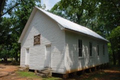
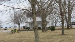
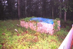
Block
From the record
21 National Register listings published here.
Sources: the National Register database, National Park Service
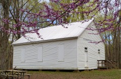
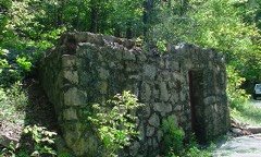
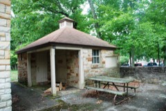
55 topographic sheets cover 38 settlements here, and 21 properties are on the National Register of Historic Places.
21 National Register listings published here.
Sources: the National Register database, National Park Service
Taken for the Office of War Information and the Farm Security Administration, who photographed the country between 1935 and 1944. Works of United States government photographers, with no known restriction on use. Each opens its catalogue record.
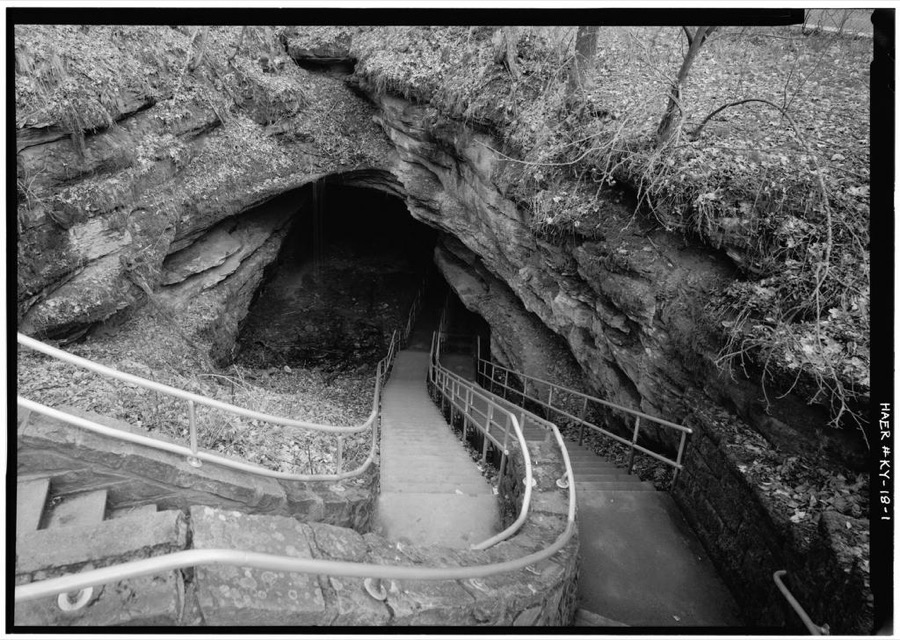
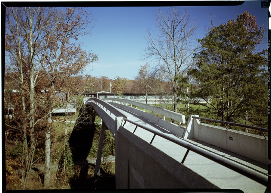
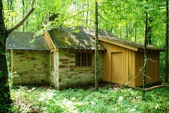
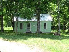
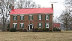
Every property in this county listed on the National Register of Historic Places, with the year it was listed and the federal nomination document.
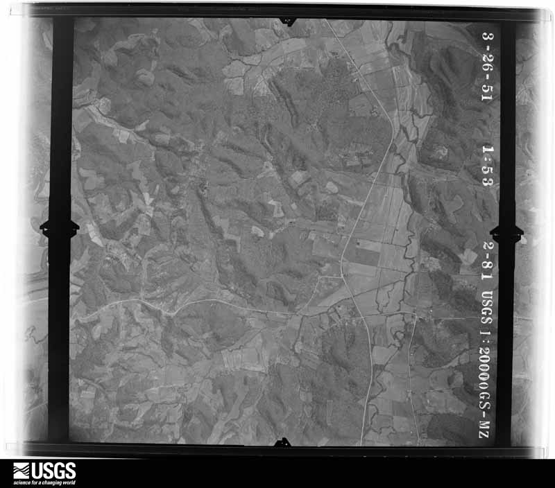
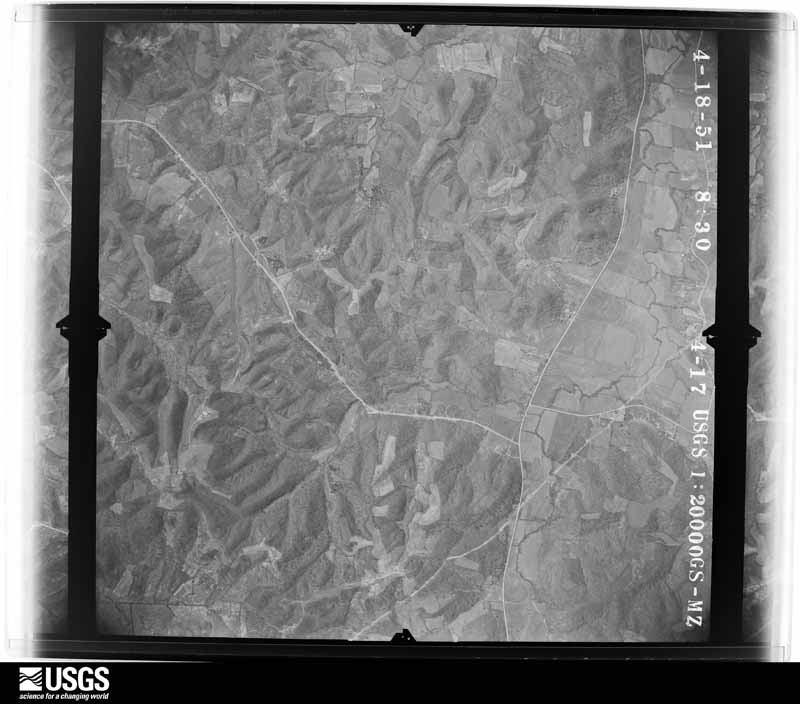
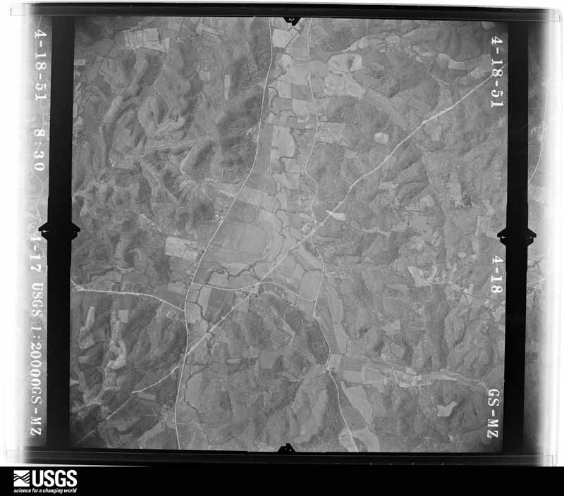
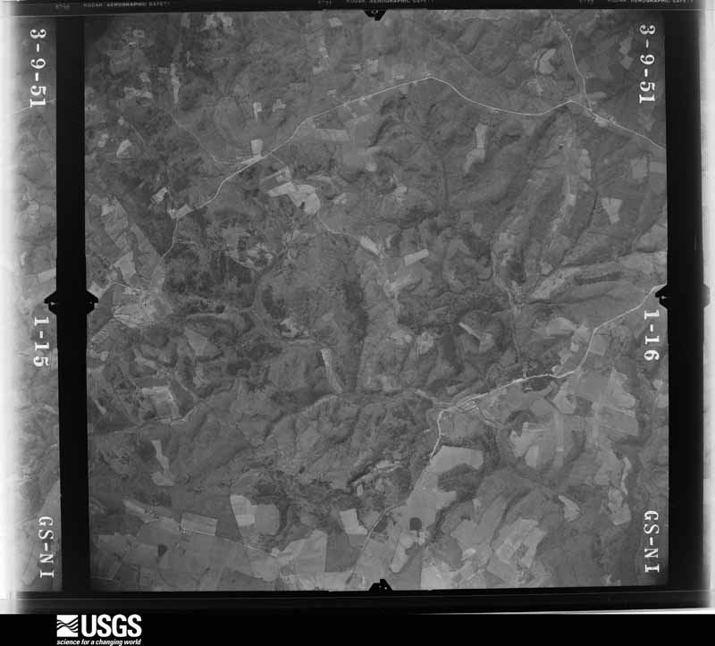
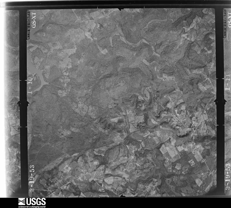
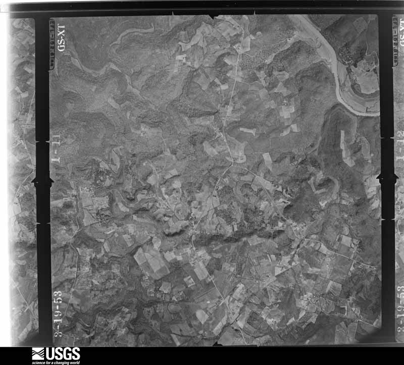
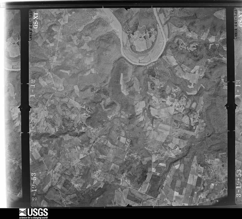
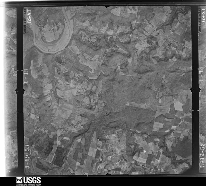
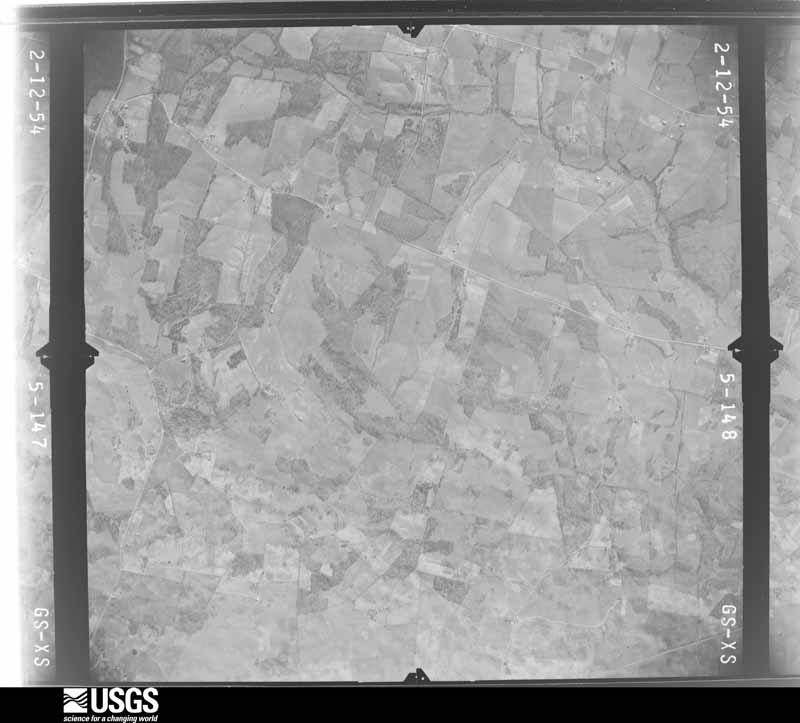
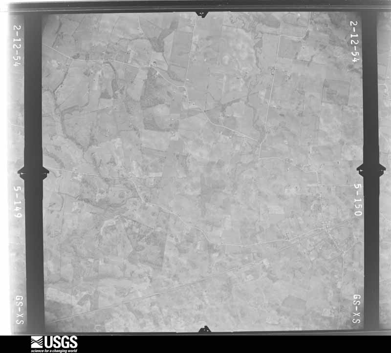
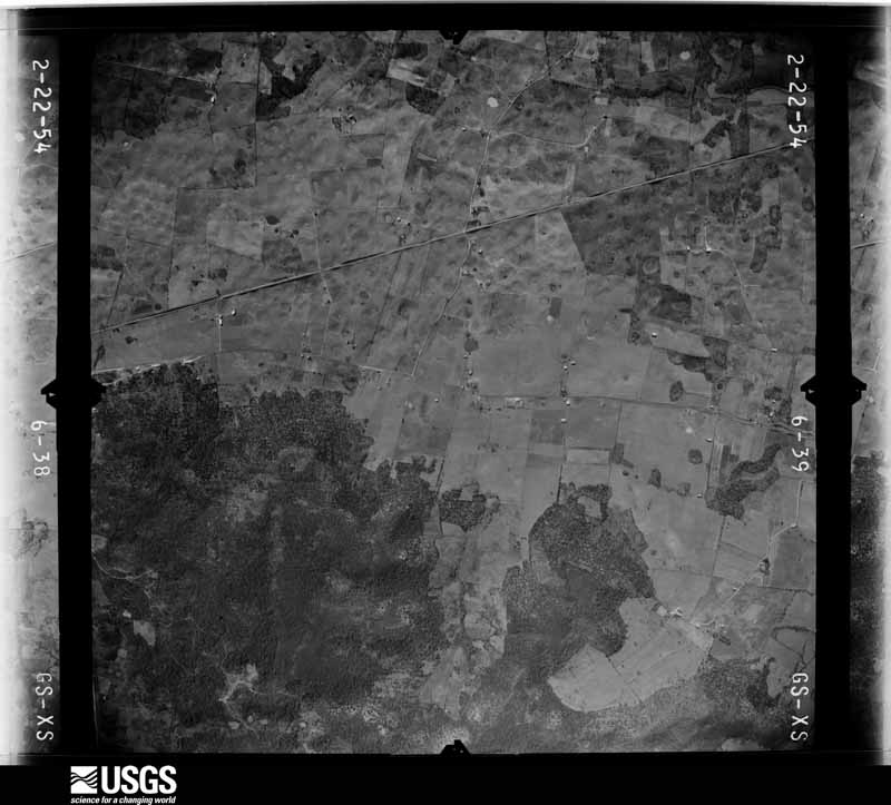
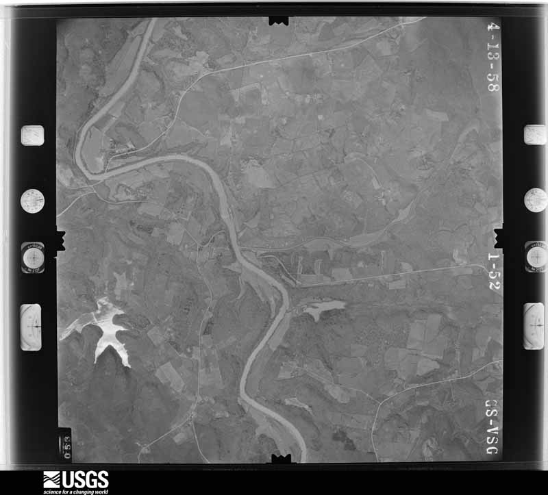
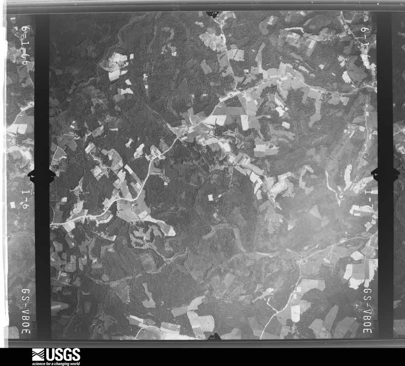
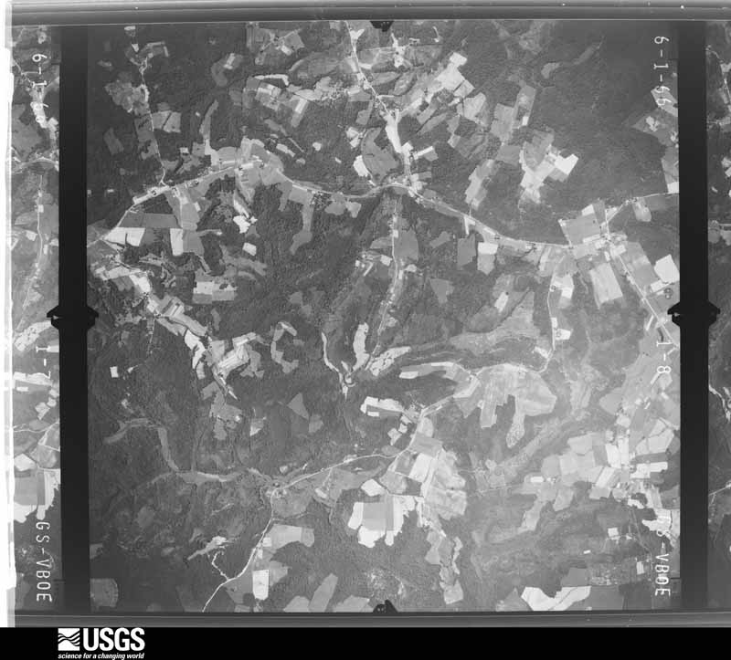
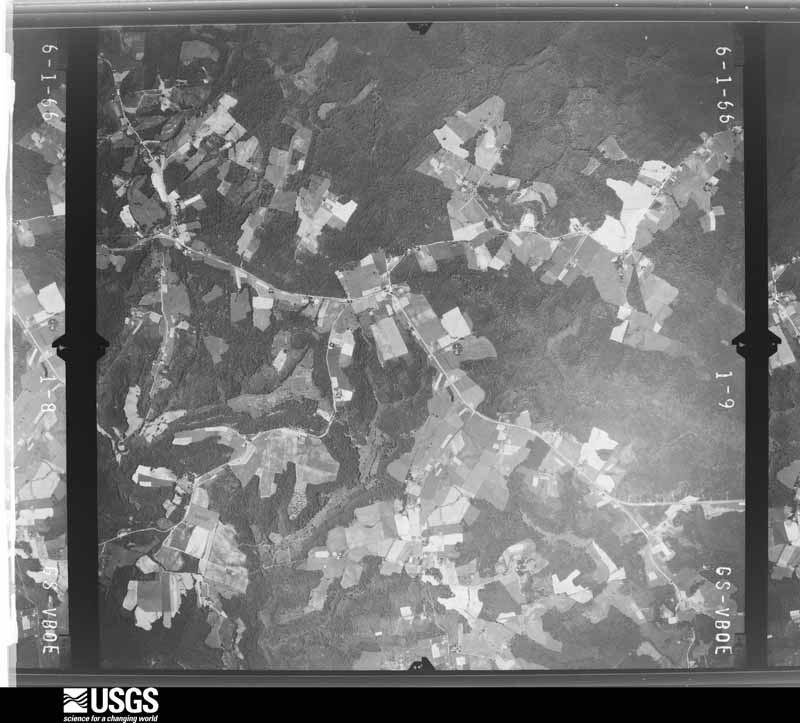
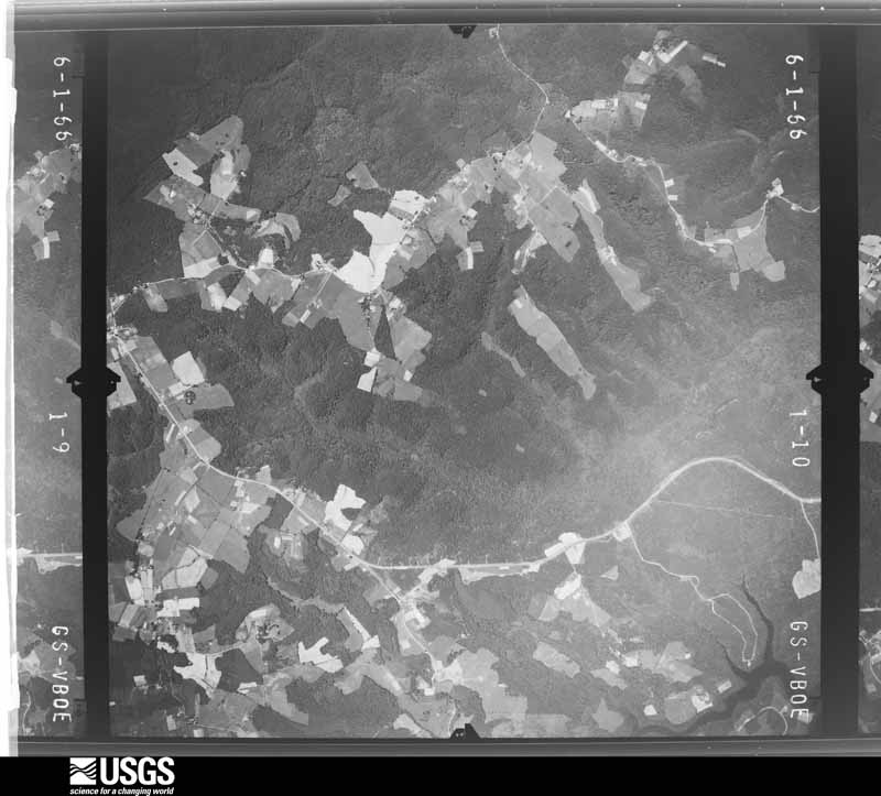
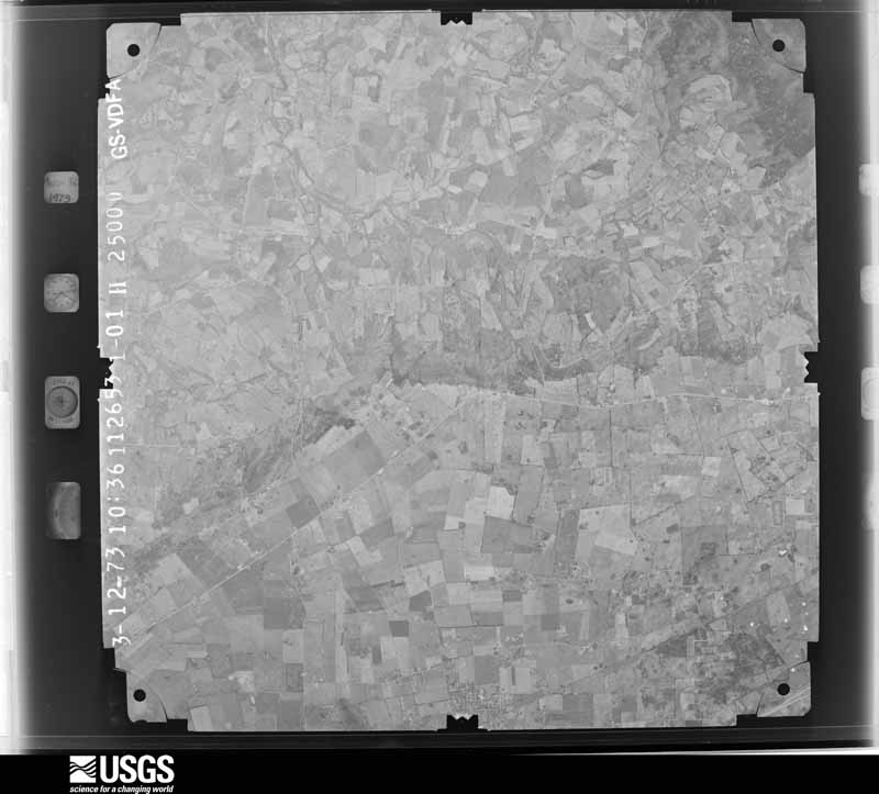
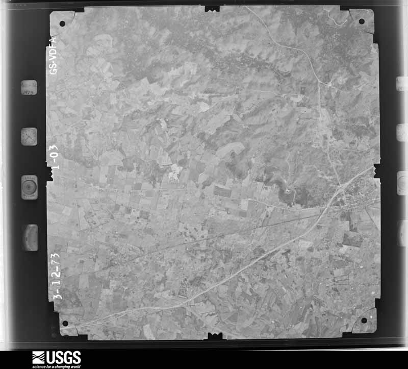
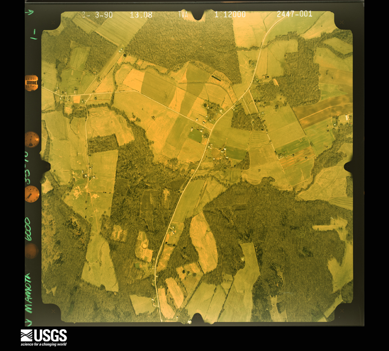
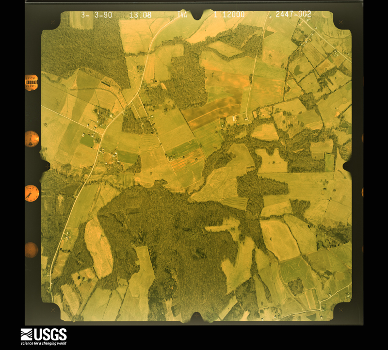
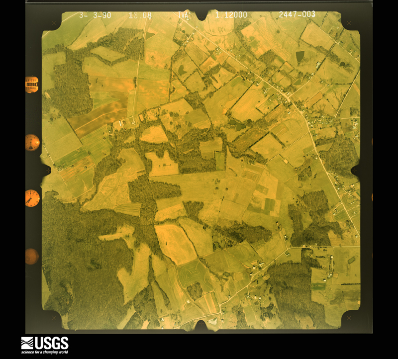
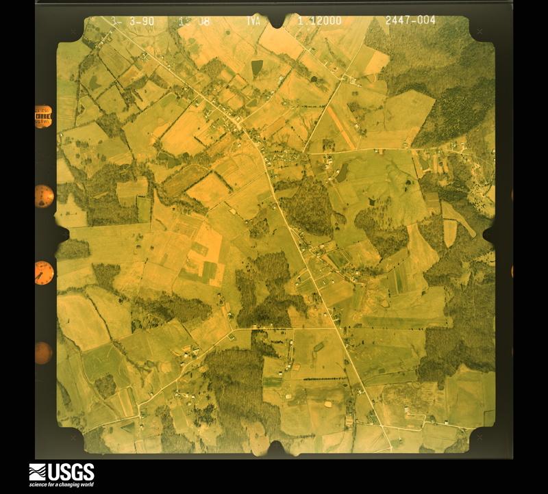
Flown by the U.S. Geological Survey between 1937 and 1989, the Aerial Photo Single Frames collection is the definitive mid-century view of the land: fields, roads and rivers as the camera saw them. The Survey holds 660 frames inside the rectangle that bounds this county; the 24 frames below were taken over the county itself, chosen across the decades of flights (at most four a year from that rectangle), so one flight cannot crowd out the rest. The full set is free to browse and download at EarthExplorer under the dataset Aerial Photo Single Frames.


The thermometers that kept this county's weather, and the gages that measured the flow of its streams, as the federal records hold them. The extremes below are measured values from those records, not estimates.
Who lived here in 1950, one enumeration district at a time, as the Census Bureau described each district. Each row opens its official National Archives result, with Population Schedules and ED Maps available there.
Every wildfire the federal occurrence database records inside this county: 93 of them, burning about 1,822 acres. None started naturally and 24 were recorded as arson. Each settlement page carries the fires within five miles of it.
| Reported cause | Fires |
|---|---|
| Missing data/not specified/undetermined | 24 |
| Arson/incendiarism | 24 |
| Recreation and ceremony | 17 |
| Debris and open burning | 12 |
| Equipment and vehicle use | 6 |
| Smoking | 6 |
| Railroad operations and maintenance | 3 |
| Power generation/transmission/distribution | 1 |
The five largest, by the area the report gives. One of them was set deliberately.
| Date | Cause | Size | Reported by | Name on the report |
|---|---|---|---|---|
| 31 October 2000 | Arson/incendiarism | 584 acres | Kentucky Division of Forestry | not named |
| 30 August 1999 | Equipment and vehicle use | 400 acres | Kentucky Division of Forestry | not named |
| 11 April 1995 | Smoking | 144 acres | Mammoth Cave National Park | JIM LEE |
| 31 January 2018 | Debris and open burning | 55 acres | Kentucky Division of Forestry | DAVIS RD. |
| 27 March 2000 | Missing data/not specified/undetermined | 50 acres | Kentucky Division of Forestry | not named |
| 12 November 2005 | Missing data/not specified/undetermined | 50 acres | Kentucky Division of Forestry | not named |
| 3 November 2014 | Recreation and ceremony | 50 acres | Kentucky Division of Forestry | KY ROCK |
| 12 April 2014 | Recreation and ceremony | 40 acres | Kentucky Division of Forestry | JOCK ROAD |
Every settlement page carries the fires within five miles of it - see the settlement index below.
The NOAA Storm Events Database holds 222 reports for this county, causing 1 death, 5 injuries and about $1,049,500 in recorded property damage. Each settlement page carries the reports that name it.
| Kind of event | Reports |
|---|---|
| Thunderstorm Wind | 130 |
| Hail | 37 |
| Flood | 25 |
| Flash Flood | 20 |
| Tornado | 10 |
The most serious of them, by death, then injury, then recorded damage. The accounts are quoted exactly as the forecast office filed them.
| When | Event | Place named | Harm | What the report says |
|---|---|---|---|---|
| December 2019 | Flood | Nick | 1 killed, $5,000 | On December 2, a 28 year old woman with her two children - a 7-year old and a 20-month old - drove around a Road Closed barrier blocking a flooded low water crossing on Oak Hill Road in Edmonson County, Kentucky. She accelerated, trying to ford the water. After she made it about a quarter of the way across the bridge through the water, her vehicle nosedived and began filling with water. She and her 7 year old were able to exit the vehicle. A water rescue team located the 20 month old around an hour later. The child was airlifted to a Nashville hospital. ||In the end, the woman and her 7 year old were treated locally for hypothermia, and the 20 month old died at the hospital the following day from asphyxiation due to near-drowning. |
| April 1991 | Thunderstorm Wind | not stated | 3 hurt | no account filed |
| April 1968 | Tornado (F4) | not stated | 2 hurt, $25,000 | no account filed |
| April 2018 | Thunderstorm Wind | Bee Spg | $100,000 | A 1.5 mile wide swath of winds gusting to around 95 mph created tornado-like damage along Kentucky Highway 259 in Edmonson County. The winds, extending 3/4 of a mile north and south of Bee Spring, destroyed or heavily damaged several small outbuildings, tore part of the roof off of one home, uprooted and snapped the trunks of numerous trees, and snapped around a dozen power poles. Several other homes sustained roof damage, and wind-driven hail shredded vinyl siding on a number of buildings. |
| May 2010 | Flood | Brownsville | $100,000 | The Green River at Brownsville crested at 37.5 feet around 645 AM EST on May 5. Flood stage at Brownsville is 18 feet. Moderate flooding occurs at this level, with homes in the bottom land flooded. |
| May 2004 | Thunderstorm Wind | Brownsville | $100,000 | Two barns were blown down. |
| April 2002 | Tornado (F1) | Broadway | $100,000 | Roofs were blown off several homes. 2-by-4's from buildings were stuck into the ground. Numerous trees were downed, some were snapped well above the ground. |
| January 2013 | Tornado (EF1) | Rocky Hill | $80,000 | A circulation embedded within a squall line that earlier produced an EF-2 tornado in Warren County spawned a second tornado that briefly touched down in Rocky Hill. It then lifted and touched down again around one mile to the northeast. Along its second track, which was around seven tenths of a mile, it snapped several trees within two long rows of trees along fence lines. Near the end of its path, along Louisville Road, it tore half the roof off of a home and destroyed a nearby barn. |
| March 2019 | Thunderstorm Wind | Chalybeate | $50,000 | A roof was blown off of a barn. |
| February 2018 | Thunderstorm Wind | Chalybeate | $50,000 | NWS survey crew observed intermittent straight-line wind damage in the town of Chalybeate. There was damage to fences, several trees snapped, and 2 older barns experienced significant damage. In a residential area, two large sections of trees fell on one roof, and an above ground swimming pool was blown away. Everything was facing down from west to east, indicative of straight line winds. The duration of the thunderstorm wind event was 2 minutes. |
| January 2002 | Thunderstorm Wind | Countywide | $40,000 | Trees were blown down throughout the county. A garage was blown down, several storage buildings were blown away, and a propane gas tank was blown over. Winds also damaged windows and roofs on homes. |
| April 2002 | Thunderstorm Wind | Bee Spg | $35,000 | Windows were blown out of a car. A mobile home and a large storage building were destroyed. A tree was blown on to a car. |
| July 2018 | Thunderstorm Wind | Bee Spg | $30,000 | Telephone poles, power lines, and small trees were reported down along Kentucky 259 between Bee Spring and Sweeden. |
| July 2016 | Thunderstorm Wind | Sweeden | $30,000 | The local fire department reported a large tree down on a mobile home in Lindseyville. |
| April 2010 | Tornado (EF1) | Sunfish | $30,000 | A storm damage survey team concluded that an EF-1 tornado with wind speeds of 100 miles per hour touched down in northwest Edmonson county at 540 pm CDT Saturday April 24 2010. The 50 yard wide damage path started near Sunfish and traveled east southeast for 1.1 miles. A well built home suffered significant damage along with a shed that was destroyed. Also, several outbuildings were damaged and numerous hardwood and softwood trees were wither uprooted or snapped. |
| April 2018 | Thunderstorm Wind | Brownsville | $25,000 | Power and cable lines were reported down. |
| April 2018 | Thunderstorm Wind | Bee Spg | $25,000 | State officials reported power lines down and damage to buildings. |
| April 1963 | Tornado (F2) | not stated | $25,000 | no account filed |
| March 2019 | Thunderstorm Wind | Arthur | $20,000 | Part of a storage building's roof was blown off. |
| June 2018 | Thunderstorm Wind | Roundhill | $20,000 | Several trees, fences, and a windmill blown down on J.O. Davis Road near Roundhill, Kentucky. |
| April 2010 | Thunderstorm Wind | Huff | $20,000 | A concrete block garage was destroyed and an RV was blown over 2.5 miles southwest of Sunfish. |
| April 2003 | Hail | Kyrock | $20,000 | Homes and vehicles were damaged by golf ball size hail. There was also minor crop damage reported. |
| June 2019 | Thunderstorm Wind | Kyrock | $15,000 | A tree fell on a power line on Nolin Dam Road. |
| April 2017 | Thunderstorm Wind | Kyrock | $15,000 | The public reported power lines down. |
| March 2019 | Thunderstorm Wind | Chalybeate | $10,000 | A greenhouse was blown down. |
| April 2018 | Thunderstorm Wind | Bee Spg | $10,000 | Trained spotters reported windows blown out of a house. |
| July 2016 | Thunderstorm Wind | Chalybeate | $10,000 | Numerous large trees and power lines were reported down in the Chalybeate and Rhoda areas and near the intersection of Highway 101 and Highway 743. |
| July 2016 | Thunderstorm Wind | Segal | $10,000 | A trained spotter reported a 53 knot wind gust along with power outages. |
| July 2016 | Thunderstorm Wind | Sunfish | $10,000 | A trained spotter reported a 100 pound roof blown off a livestock building and moved 50 feet. Tree limbs 5 to 6 inches in diameter were down as well. |
| October 2007 | Thunderstorm Wind | Windyville | $10,000 | An outbuilding and a home damaged in Windyville. |
| May 1995 | Thunderstorm Wind | Countywide | $10,000 | Several trees were blown down across the county. |
| May 2016 | Thunderstorm Wind | Brownsville | $5,000 | Trained spotters relayed pictures from a Facebook post of sign and siding damage due to severe thunderstorm winds in the Brownsville area. |
| March 2012 | Thunderstorm Wind | Mammoth Cave | $5,000 | A spotter in Mammoth Cave National Park reported power lines down and snapped poles. |
| April 1996 | Thunderstorm Wind | Cedar Spg | $5,000 | no account filed |
| April 2015 | Thunderstorm Wind | Segal | $3,000 | A storm survey team found that straight line wind damage occurred with large limbs broken and snapped off. A metal roof of a barn was blown off by the severe thunderstorm winds. |
| April 1995 | Hail | Brownsville | $1,000 | no account filed |
| April 1993 | Hail | Brownsville | $500 | no account filed |
| May 2025 | Thunderstorm Wind | Segal | - | A tree was blown down and small hail was also observed. |
| May 2025 | Hail | Chalybeate | - | Quarter size hail was estimated in the Chalybeate area. |
| April 2025 | Flash Flood | Huff | - | State Road 70 was closed at Bear Creek due to water over the road. |
| April 2025 | Flash Flood | Nick | - | Wingfield Church Road near Ellis Cole Road was closed due to water over the road. |
| April 2025 | Flash Flood | Sunfish | - | State Road 187 was closed due to high water. |
| May 2024 | Hail | Rocky Hill | - | Quarter sized hail was observed in rural portions of southern Edmonson County. |
| May 2024 | Hail | Broadway | - | Quarter sized hail was observed near Bee Spring in northern Edmonson County. |
| March 2023 | Thunderstorm Wind | Mammoth Cave | - | Dispatch reported multiple trees were blown down at Mammoth Cave National Park. |
| April 2023 | Thunderstorm Wind | Kyrock | - | A couple of trees were down on Nolin Dam Road. Another tree was down on Lakeshore Drive. |
| June 2023 | Thunderstorm Wind | Broadway | - | The National Weather Service in Louisville conducted a storm survey for the macroburst damage extending from western Grayson County, through Edmonson County, before ending in northeastern Warren County. ||Scattered tree damage continued through northern and central Edmonson County, with estimated wind speeds generally between 80 and 90 mph. Tree damage increased in intensity as the survey continued into southern Edmonson County, with a high density of fallen trees observed along Sulphur Road and Otter Gap Road. Wind speeds in this area were estimated between 85 and 90 mph. In the vicinity of the Edmonson/Warren County line, higher intensity damage was observed, with numerous trees down along Otter Gap Road and Aubrey Mills Road atop The Knobs. A barn at the end of Aubrey Mills Road suffered severe damage, with winds estimated at 95 mph at the barn.||All tree and structural damage was blown to the southeast along the path. This damage pattern is consistent with downburst winds, with the large scale of damage suggesting a macroburst event. |
| February 2022 | Thunderstorm Wind | Cedar Spg | - | Trees blew down on Brownsville Road. |
| May 2022 | Hail | Chaumont | - | Quarter-sized hail was observed just west of Park City. |
| April 2022 | Thunderstorm Wind | Sunfish | - | A tree was snapped and destroyed a chicken coop in Sunfish. |
| July 2022 | Thunderstorm Wind | Nick | - | A tree fell in Windfield. |
| May 2021 | Flash Flood | Lindseyville | - | There was a rapid rise in water over East Harris Road. |
| March 2021 | Thunderstorm Wind | Chaumont | - | There were reports of two buildings being damaged and cedar trees blocking three lanes of 31 West. |
| February 2021 | Flash Flood | Segal | - | The 6500 block of Highway 655 was closed due to high water in Brownsville. |
| December 2021 | Tornado (EF1) | Chalybeate | - | This tornado formed approximately 1 mile north of Petros near Petros Browning Road and tracked northeast for approximately 26 miles before exiting Warren County and into southern Edmonson County. Civil Air Patrol assisted in surveying the tornado path in this rural part of Edmonson County. Scattered tree damage was observed from the western edge of the county to where the tornado dissipated, near Brownville Road. |
| December 2021 | Tornado (EF0) | Rocky Hill | - | This tornado formed approximately 2.3 miles east of Rocky Hill near Goldenrod Lane and tracked northeast for approximately 1.1 miles before crossing into western Barren County. The tornado would continue approximately 9 miles into Barren County before crossing into southern Hart County. The tornado traveled approximately 7 more miles into Hart County before dissipating near Red Buck Estes Road at approximately 0154 CST. In Edmonson County, the tornado broke some tree branches before it quickly exited into Barren County. |
| March 2020 | Flash Flood | Chalybeate | - | Water was over Kentucky State Roads 743 and 655. |
| September 2020 | Thunderstorm Wind | Lindseyville | - | A tree was downed on Indian Creek Road. |
| February 2019 | Flash Flood | Huff | - | A bridge on Blackgold-Grassland Road had to be closed due to high water. |
| February 2019 | Flash Flood | Windyville | - | Road was closed due to flooding. |
The Survey's mineral resources record lists 8 workings inside this county. 1 still produces and 7 are closed or unrecorded. Each settlement page carries the workings within five miles of it.
| Commodity | Workings |
|---|---|
| Clay | 3 |
| Stone, Crushed/Broken | 2 |
| Clay, Coal | 1 |
| Coal | 1 |
| Fire Clay (Refractory), Rock Asphalt, Stone, Crushed/Broken | 1 |
| Fire Clay (Refractory) | 1 |
The least common of them first, because a county's hundredth gravel pit says nothing its first ten did not.
| Where | Site | Commodity | Status | Recorded |
|---|---|---|---|---|
| Dismal Creek Eastwall Clay Pit | Clay, Coal | Prospect | ||
| Dismal Creek Quarry | Fire Clay (Refractory), Rock Asphalt, Stone, Crushed/Broken | Past Producer | ||
| Dismal Creek West Clay Pit | Coal, Clay | Prospect | ||
| Vincent Prospect Pit | Fire Clay (Refractory) | Prospect | ||
| Bee Spring Quarry | Stone, Crushed/Broken | Past Producer | ||
| Park City Quarry | Stone, Crushed/Broken | Producer | ||
| Gully Clay | Clay | Prospect | ||
| Johnson Mine Clay Pit | Clay | Prospect |
Named settlements recorded in the Geographic Names Information System, each with the topographic sheets covering it. Villages, hamlets and abandoned places alike. Each is shown with the nearest named watercourse or landform and the survey quadrangle it falls on.
Brownsville census division · 42210 · Near Brooks Knob · Rhoda quadrangle
23 sheets, 1922 to 1981
Brownsville North census division · 42210 · On Little Beaverdam Creek · Brownsville quadrangle
13 sheets, 1922 to 1981
Brownsville North census division · 42207 · On Big Branch · Bee Spring quadrangle
13 sheets, 1922 to 1981
Sunfish census division · 42275 · On Big Reedy Branch · Ready quadrangle
13 sheets, 1922 to 1981
Brownsville North census division · 42210 · On Music Branch · Bee Spring quadrangle
13 sheets, 1922 to 1981
Brownsville census division · 42210 · By Lovers Leap · Brownsville quadrangle
13 sheets, 1922 to 1981
Mammoth Cave census division · 42160 · Near The Knobs · Mammoth Cave quadrangle
22 sheets, 1922 to 1981
Mammoth Cave census division · 42729 · On Long Fall Creek · Nolin Lake quadrangle
15 sheets, 1925 to 1981
Mammoth Cave census division · 42259 · Near Collie Ridge · Nolin Lake quadrangle
15 sheets, 1925 to 1981
Mammoth Cave census division · 42259 · Near Joppa Ridge · Rhoda quadrangle
23 sheets, 1922 to 1981
Brownsville North census division · 42207 · On Brier Creek · Nolin Lake quadrangle
15 sheets, 1925 to 1981
Sunfish census division · 42210 · Near West Point · Brownsville quadrangle
13 sheets, 1922 to 1981
Brownsville North census division · 42285 · On Pigeon Creek · Bee Spring quadrangle
13 sheets, 1922 to 1981
Brownsville North census division · 42210 · On White Oak Fork · Brownsville quadrangle
13 sheets, 1922 to 1981
Mammoth Cave census division · 42259 · Near Cave Island · Mammoth Cave quadrangle
22 sheets, 1922 to 1981
Brownsville North census division · 42207 · On Brier Creek · Nolin Lake quadrangle
15 sheets, 1925 to 1981
Mammoth Cave census division · 42259 · On Blair Spring Branch · Nolin Lake quadrangle
15 sheets, 1925 to 1981
Brownsville North census division · 42207 · On Mill Branch · Bee Spring quadrangle
13 sheets, 1922 to 1981
Brownsville North census division · 42285 · On Pigeon Creek · Bee Spring quadrangle
13 sheets, 1922 to 1981
Brownsville North census division · 42210 · Near Caney Hollow · Reedyville quadrangle
14 sheets, 1922 to 1981
Sunfish census division · 42721 · Ready quadrangle
13 sheets, 1922 to 1981
No longer a settlement
Mammoth Cave census division · 42160 · Near Owens Valley · Mammoth Cave quadrangle
22 sheets, 1922 to 1981
Mammoth Cave census division · 42259 · Near Raymond Hollow · Rhoda quadrangle
23 sheets, 1922 to 1981
Mammoth Cave census division · 42259 · On Mill Branch · Nolin Lake quadrangle
15 sheets, 1925 to 1981
Sunfish census division · 42210 · Near Little Mountain · Bee Spring quadrangle
13 sheets, 1922 to 1981
Brownsville North census division · 42285 · On Pigeon Creek · Bee Spring quadrangle
13 sheets, 1922 to 1981
Mammoth Cave census division · 42160 · Near The Knobs · Mammoth Cave quadrangle
22 sheets, 1922 to 1981
Brownsville North census division · 42210 · Near Shipley Knob · Brownsville quadrangle
13 sheets, 1922 to 1981
Brownsville North census division · 42285 · On Pigeon Creek · Bee Spring quadrangle
13 sheets, 1922 to 1981
The vanished settlements of Edmonson County: the places named above that are no longer on the map.
The complete index, with nothing left out. Each of these is a separate record with its own page: a federal survey report, or the case file that argued a property on to the National Register. Both are public domain and reproduced word for word.
The vanished settlements of Edmonson County, the places these records name that are no longer on the map.