BlockBefore

Estill County, Kentucky

49 topographic sheets and 4 fire insurance atlases across 1 place.

Research this county

From the record

6 National Register listings published here · the county-history sources name 2 people · people the book names include Frederick William Owen (Irvine, 1906) (machine-read).

Sources: the county history on the Internet Archive · the National Register database, National Park Service

Kentucky within the United States
Estill County within Kentucky

What the record shows

  • 1 place in this county was surveyed for fire insurance: Irvine, between 1920 and 1944.
  • 4 fire insurance atlases survive for the county. Topographic coverage is national; fire insurance survey reached only incorporated places with something worth insuring.
  • 997 topographic sheet readings cover the county's settlements.
  • 6 properties here are on the National Register of Historic Places: 3 buildings, 2 structures and 1 district.
  • 2 of the 6 listings were added during the 1970s.
  • The Geographic Names Information System records 75 populated places in this county; 75 are covered by at least one topographic sheet.

Photographs

1 photograph,

Taken for the Office of War Information and the Farm Security Administration, who photographed the country between 1935 and 1944. Works of United States government photographers, with no known restriction on use. Each opens its catalogue record.

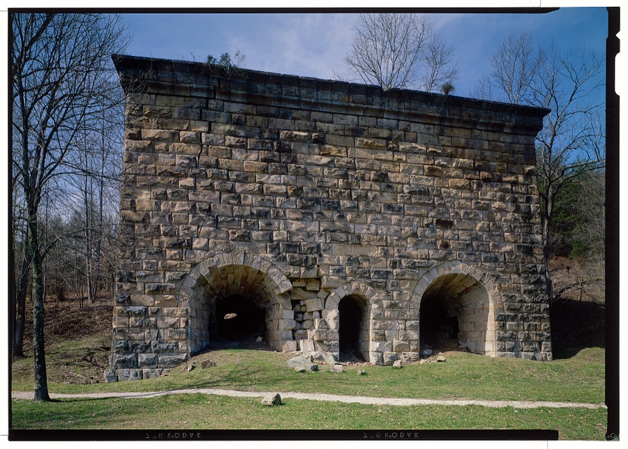
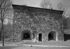
Red River Iron Works, KY 975, Fitchburg, Estill County, KY
Photographer not recorded. Library of Congress

Places on the National Register

6

Every property in this county listed on the National Register of Historic Places, with the year it was listed and the federal nomination document.

Photograph PropertyType ListedReference
Cottage Iron Furnacestructure197373000794
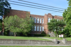
Irvine Grade Schoolbuilding200000000865
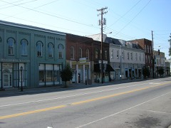
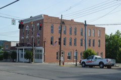
Irvine Historic Business Districtdistrict200000000866
Ravenna Motor Vehicle Service Buildingbuilding200000000278
Red River Iron Furnacestructure197474000860
Riverview Hotelbuilding199292000171

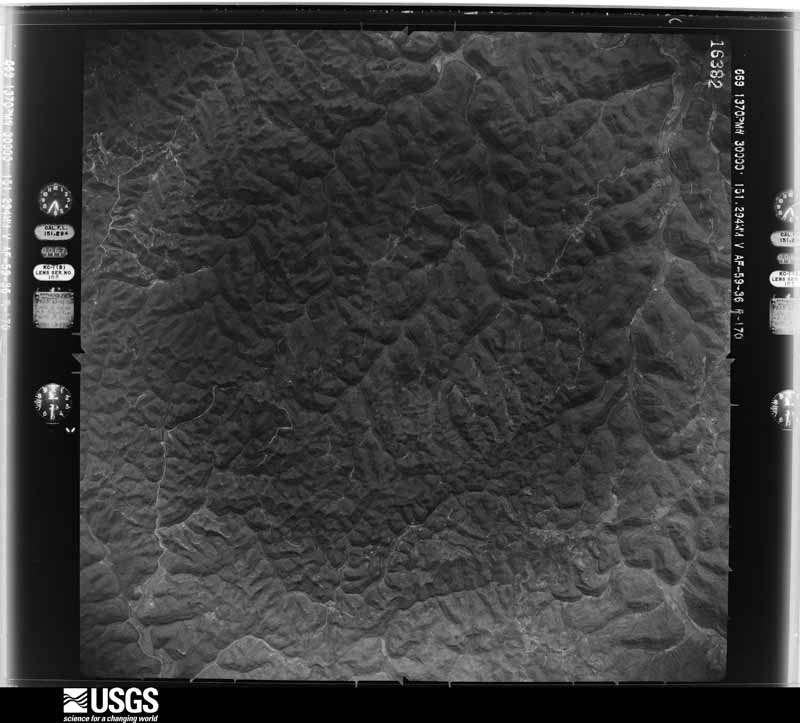
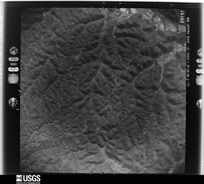
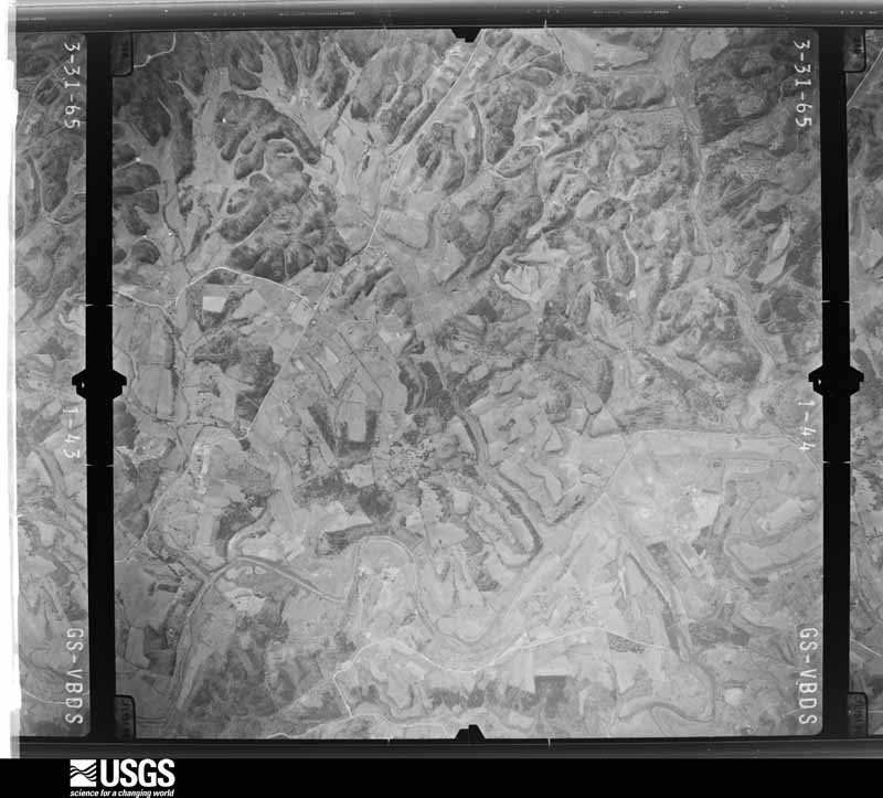
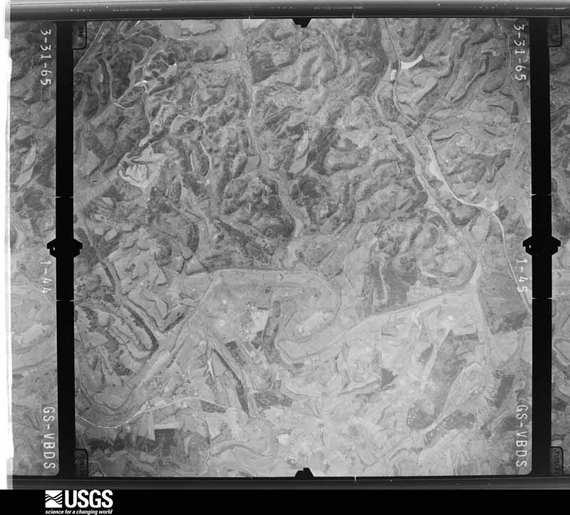
The county from the air

20 shown

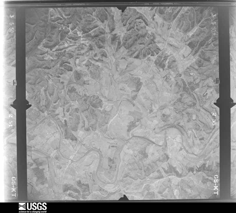
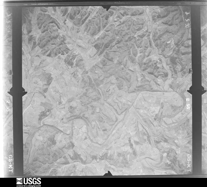
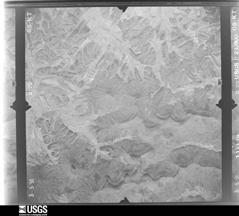
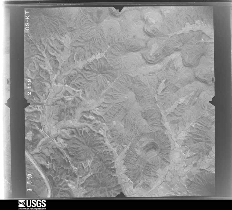
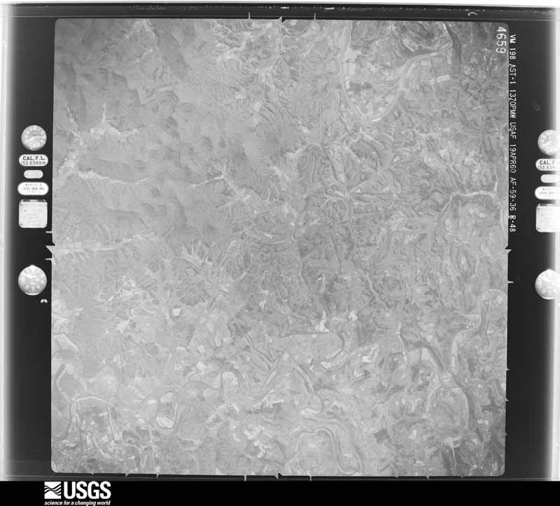
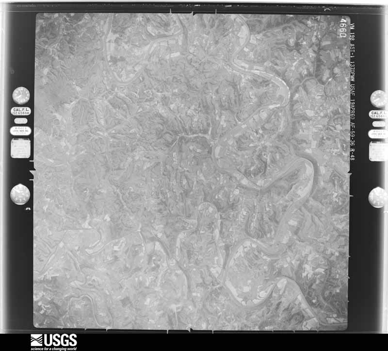
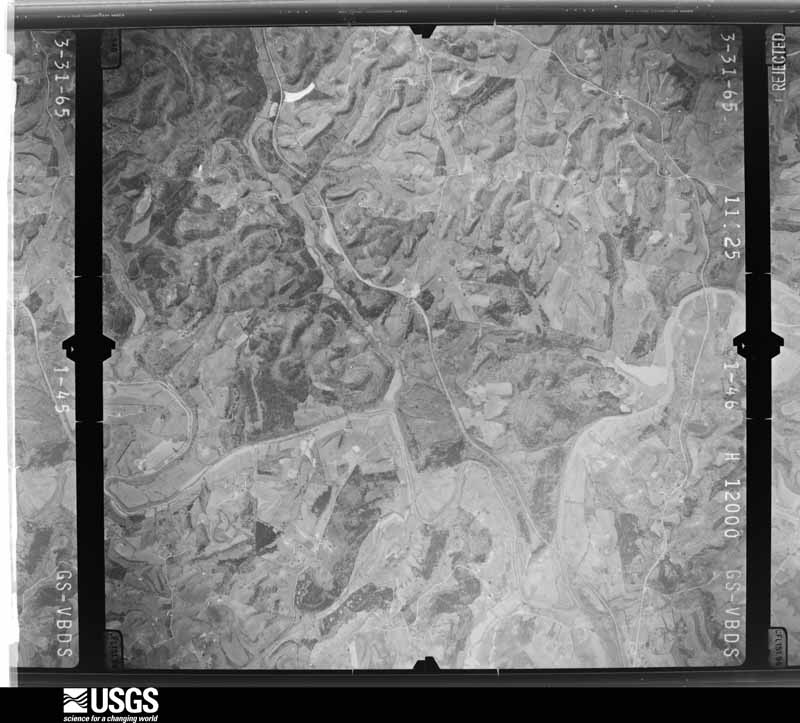
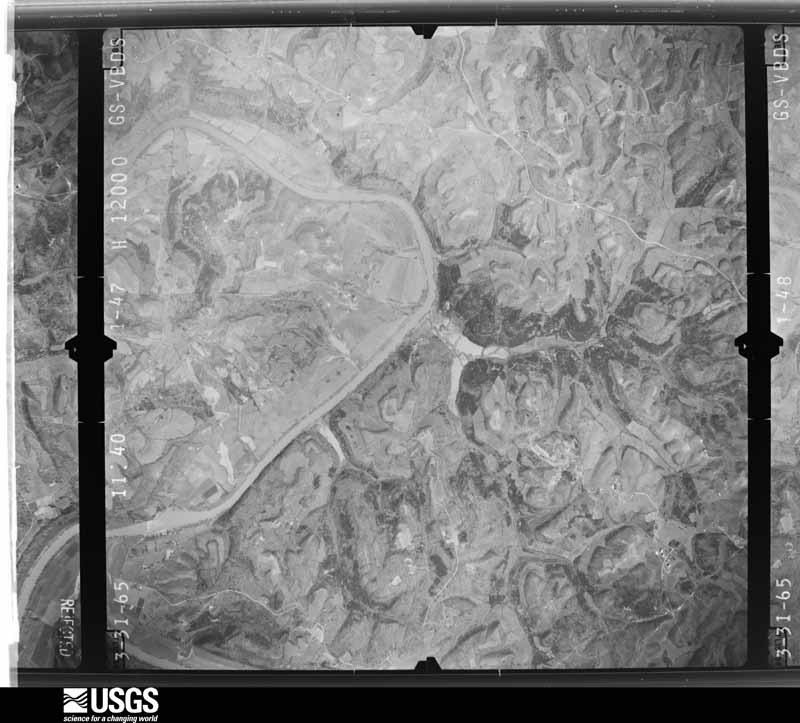
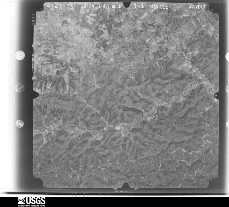
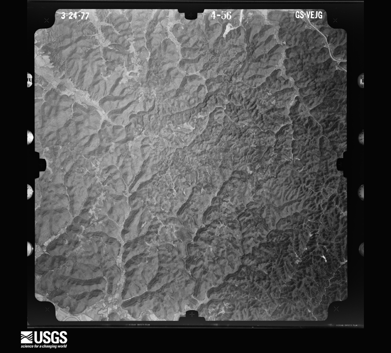
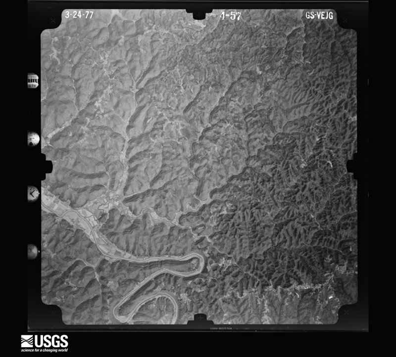
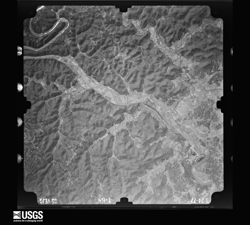
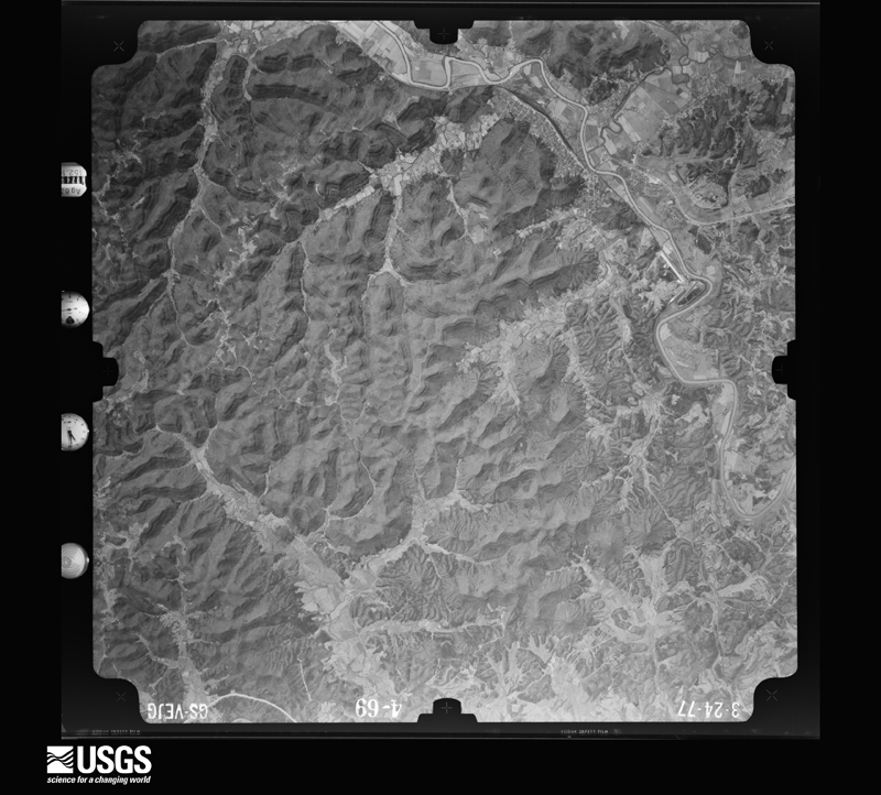
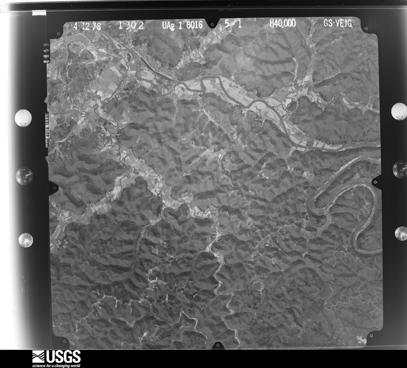
Flown by the U.S. Geological Survey between 1937 and 1989, the Aerial Photo Single Frames collection is the definitive mid-century view of the land: fields, roads and rivers as the camera saw them. The Survey holds 471 frames inside the rectangle that bounds this county; the 20 frames below were taken over the county itself, chosen across the decades of flights (at most four a year from that rectangle), so one flight cannot crowd out the rest. The full set is free to browse and download at EarthExplorer under the dataset Aerial Photo Single Frames.

U.S. Geological Survey aerial photograph, 1950-06-01, scale 1:23600
1950-06-01, scale 1:23600. U.S. Geological Survey aerial photograph.
U.S. Geological Survey aerial photograph, 1950-06-01, scale 1:23600
1950-06-01, scale 1:23600. U.S. Geological Survey aerial photograph.
U.S. Geological Survey aerial photograph, 1950-06-01, scale 1:23600
1950-06-01, scale 1:23600. U.S. Geological Survey aerial photograph.
U.S. Geological Survey aerial photograph, 1950-06-01, scale 1:23600
1950-06-01, scale 1:23600. U.S. Geological Survey aerial photograph.
U.S. Geological Survey aerial photograph, 1960-04-19, scale 1:60000
1960-04-19, scale 1:60000. U.S. Geological Survey aerial photograph.
U.S. Geological Survey aerial photograph, 1960-04-19, scale 1:60000
1960-04-19, scale 1:60000. U.S. Geological Survey aerial photograph.
U.S. Geological Survey aerial photograph, 1960-11-08, scale 1:60000
1960-11-08, scale 1:60000. U.S. Geological Survey aerial photograph.
U.S. Geological Survey aerial photograph, 1960-11-08, scale 1:60000
1960-11-08, scale 1:60000. U.S. Geological Survey aerial photograph.
U.S. Geological Survey aerial photograph, 1965-03-31, scale 1:24000
1965-03-31, scale 1:24000. U.S. Geological Survey aerial photograph.
U.S. Geological Survey aerial photograph, 1965-03-31, scale 1:24000
1965-03-31, scale 1:24000. U.S. Geological Survey aerial photograph.
U.S. Geological Survey aerial photograph, 1965-03-31, scale 1:24000
1965-03-31, scale 1:24000. U.S. Geological Survey aerial photograph.
U.S. Geological Survey aerial photograph, 1965-03-31, scale 1:24000
1965-03-31, scale 1:24000. U.S. Geological Survey aerial photograph.
U.S. Geological Survey aerial photograph, 1975-04-01, scale 1:78000
1975-04-01, scale 1:78000. U.S. Geological Survey aerial photograph.
U.S. Geological Survey aerial photograph, 1976-05-12, scale 1:78000
1976-05-12, scale 1:78000. U.S. Geological Survey aerial photograph.
U.S. Geological Survey aerial photograph, 1976-05-12, scale 1:78000
1976-05-12, scale 1:78000. U.S. Geological Survey aerial photograph.
U.S. Geological Survey aerial photograph, 1977-03-24, scale 1:80000
1977-03-24, scale 1:80000. U.S. Geological Survey aerial photograph.
U.S. Geological Survey aerial photograph, 1977-03-24, scale 1:80000
1977-03-24, scale 1:80000. U.S. Geological Survey aerial photograph.
U.S. Geological Survey aerial photograph, 1977-03-24, scale 1:80000
1977-03-24, scale 1:80000. U.S. Geological Survey aerial photograph.
U.S. Geological Survey aerial photograph, 1977-03-24, scale 1:80000
1977-03-24, scale 1:80000. U.S. Geological Survey aerial photograph.
U.S. Geological Survey aerial photograph, 1978-04-12, scale 1:80000
1978-04-12, scale 1:80000. U.S. Geological Survey aerial photograph.

Weather records

6 stations, 3 gages

The thermometers that kept this county's weather, and the gages that measured the flow of its streams, as the federal records hold them. The extremes below are measured values from those records, not estimates.

The 1950 census, district by district

22 districts

Who lived here in 1950, one enumeration district at a time, as the Census Bureau described each district. Each row opens its official National Archives result, with Population Schedules and ED Maps available there.

  • 33-1Magisterial District 1, Irvine: Irvine city: Irvine city - That part Bounded by City limits; City limits; E. Broadway, W. Broadway; N. Court, Gardner, Laurel city limits
  • 33-2Irvine city - That part Bounded by City limits; Laurel, Gardner, N. Court, W. Broadway, Estill Ave.; Louisiana and Nashville Railroad; City limits
  • 33-3Irvine city - That part Bounded by Louisiana and Nashville Railroad, Estill Ave., W. Broadway, E. Broadway; Rosebud Ave.; S. Railroad Ave., S. Madison; City limits
  • 33-4Irvine city - That part Bounded by E. Broadway; City limits; City limits; S. Madison, S. Railroad, Rosebud Ave.
  • 33-5Ravenna city: Ravenna city - That part Bounded by City limits; City limits; City limits; City limits, Broadway, 8th, Main, 6th, Poplar, Hudson Dr.
  • 33-6Ravenna city - That part Bounded by City limits; Hudson Dr., Poplar, 6th, Main, 8th, Broadway; City limits; City limits
  • 33-7Magisterial District 1, Irvine - That part outside Irvine city and Ravenna city
  • 33-8Magisterial District 2, Millers Creek: Magisterial District 2, Millers Creek - That part east of Fitchburg Furnace Branch - Knowlton Rd. and north of State Hwy. 52
  • 33-9Magisterial District 2, Millers Creek - That part west of Fitchburg Furnace Branch - Knowlton Rd. and north of State Hwy. 52
  • 33-10Magisterial District 2, Millers Creek - That part southwest of State Hwy. 52
  • 33-11Magisterial District 3, Station Camp: Magisterial District 3, Station Camp - That part north and east of South Irvine - Leighton Rd. via Ola to southeast county line
  • 33-12Magisterial District 3, Station Camp - That part west and south of South Irvine - Leighton Rd. via Ola to southeast county line
  • 33-13Magisterial District 4, Red Lick: Magisterial District 4, Red Lick - That part southeast of Station Camp and Red Lick Creeks
  • 33-14Magisterial District 4, Red Lick - That part west of Station Camp Creek and north of Hayes Fork
  • 33-15Magisterial District 4, Red Lick - That part south of Hayes Fork and west of Red Lick Creek
  • 33-16Magisterial District 5, Riddell and Thomas: Magisterial District 5, Riddell and Thomas - That part north of State Hwy. 52
  • 33-17Magisterial District 5, Riddell and Thomas - That part south of State Hwy. 52 and north of Irvine -Panola Rd. via Blackburn
  • 33-18Magisterial District 5, Riddell and Thomas - That part south of Irvine - Panola Rd. via Blackburn
  • 33-19Magisterial District 6, Forks: Magisterial District 6, Forks - That part west of Vaughns Mill - North Irvine Rd. and east of State Hwys. 89 and 82
  • 33-20Magisterial District 6, Forks - That part northwest of State Hwy. 82 and north of State Hwy. 89
  • 33-21Magisterial District 6, Forks - That part southwest of State Hwy. 89
  • 33-22Magisterial District 6, Forks - That part southeast of Vaughns Mill - North Irvine Rd. and east of State Hwy. 89

Wildfire, 1994 to 2020

344 fires

Every wildfire the federal occurrence database records inside this county: 344 of them, burning about 9,916 acres. 1 started naturally and 65 were recorded as arson. Each settlement page carries the fires within five miles of it.

Reported cause Fires
Debris and open burning134
Missing data/not specified/undetermined86
Arson/incendiarism65
Recreation and ceremony46
Railroad operations and maintenance5
Equipment and vehicle use3
Smoking2
Misuse of fire by a minor2
Natural1

The five largest, by the area the report gives. Three of them were set deliberately.

DateCause SizeReported by Name on the report
12 November 1999Arson/incendiarism2,100 acresKentucky Division of Forestrynot named
10 November 2001Arson/incendiarism1,000 acresKentucky Division of Forestrynot named
6 November 2005Missing data/not specified/undetermined650 acresKentucky Division of ForestryWILSON MTN.
30 October 2010Debris and open burning551 acresKentucky Division of ForestryLITTLE DOE CREEK
6 April 2010Recreation and ceremony516 acresKentucky Division of ForestryLOCUST BRANCH
3 November 2008Debris and open burning300 acresKentucky Division of ForestryMT. ZION ROAD
7 April 2010Missing data/not specified/undetermined225 acresKentucky Division of ForestrySWEET LICK ROAD
2 November 2000Arson/incendiarism210 acresKentucky Division of Forestrynot named

Every settlement page carries the fires within five miles of it - see the settlement index below.

Storms, 1960 to 2025

60 of 457 shown

The NOAA Storm Events Database holds 457 reports for this county, causing 1 death, 40 injuries and about $4,632,300 in recorded property damage. Each settlement page carries the reports that name it.

Kind of event Reports
Thunderstorm Wind267
Flash Flood64
Flood55
Hail44
Heavy Rain13
Tornado8
Lightning3
Funnel Cloud2
Debris Flow1

The most serious of them, by death, then injury, then recorded damage. The accounts are quoted exactly as the forecast office filed them.

WhenEvent Place namedHarm What the report says
April 2015Flash FloodCrystal1 killed, $1,000A vehicle attempted to drive through flash flood waters from a creek along KY Hwy 52 near the Estill and Lee county line. The vehicle was eventually swept downstream with the driver trapped inside. The person was alone in the car and ended up drowning inside the vehicle.
June 1961Tornado (F3)not stated38 hurt, $2,500,000no account filed
March 2017Thunderstorm WindWinston1 hurtA microburst with 90 to 100 mph winds caused severe damage to vehicles and buildings near Winston. One man was injured by flying glass as he attempted to shut the front door of his home. One vehicle had been rolled over by the wind. Roof damage also occurred to several structures in the area, and a garage was completely destroyed. Several large trees were also uprooted.
June 2002Flash FloodIrvine1 hurtOne person was rescued from fast flowing, high water along Wagersville Road.
June 2008Thunderstorm WindFurnace$500,000A National Weather Service storm survey team concluded that a microburst downed 20 to 30 trees and snapped off a radio tower near Furnace.
April 1996Tornado (F1)Red Lick$200,000no account filed
February 2011Thunderstorm WindIrvine$100,000Numerous trees were blown down around the county between about 7 and 10 am. Four to five thousand people were without power during the morning hours.
October 2009Tornado (EF1)Jinks$100,000An EF-1 tornado touched down near Sang Branch or about one half mile east of Jinks and had an intermittent path of about 3.75 miles in length. The tornado lifted in the vicinity of Wagersville just east of Station Camp Creek and west of Kentucky Hwy 89 at about 347 pm EDT. Numerous trees, both hard and soft wood, were uprooted. A motor home was overturned along the damage path and a small barn was lifted with the roof being blown off.
April 2008Thunderstorm WindIrvine$100,000Trees were blown down on Stacy Lane, Worrells Road, Richmond Road, Blackburn Road, and Regis Road. A power line was also blown down on Blackburn Road and a tree was blown onto a trailer. Thunderstorm wind damage occurred countywide.
May 2003Thunderstorm WindCountywide$100,000A Ravenna grade school had its roof blown off. Also in Ravenna, a porch was blown off of a mobile home. Large trees and power lines were down across the county. Large trees were down along Kentucky Highway 52, Sand Hill Road, Cedar Grove Road, Regis Road, Nolan Hill, Blue Run Road, and Possum Run. The wind gust estimate was reported by a trained spotter.
February 2011Thunderstorm WindIrvine$75,000Numerous trees and power lines were blown down county wide. Areas affected included Ravenna, Wagersville, McKee, Cow Creek, and Richmond Rd. Power outages were also reported across the county.
February 2008Thunderstorm WindIrvine$50,000Electric lines and trees were reported down county wide. Electricity was also out at the 911 dispatch office.
June 2007Thunderstorm WindIrvine$50,000Numerous trees down countywide.
June 1997Flash FloodIrvine$50,000no account filed
May 1996LightningIrvine$50,000no account filed
January 2022Tornado (EF1)Palmer$40,000A NWS storm survey team found damage that was the result of an|EF-1 tornado with maximum wind speeds estimated at 95 mph.|Numerous trees were snapped or uprooted, a barn was collapsed,|and the roof of an auto repair facility was damaged.||The tornado touched down along Thornburg Bend, where trees were|snapped. A barn was collapsed at a farm off of Harris Perry Road,|and an auto repair facility on Red River Road lost part of its|roof. Multiple downed trees blocked access to the dead end of Red|River Road. The tornado lifted just west of the Red River.
June 2009Thunderstorm WindLocust Branch$35,000Numerous trees were down and some structural damage had occurred in extreme southwest Estill county.
June 2008Thunderstorm WindIrvine$35,000Numerous trees blown down countywide. Trees were felled on Route 89 in the southern part of the county. Trees were also blown down on Route 594 in western Estill County and on Route 213 in eastern Estill County. The damage swath was estimated at one quarter of a mile wide at times.
February 2011Thunderstorm WindIrvine$30,000Powers outages were reported around the county. Numerous trees were blown down around the county as well.
May 2009Thunderstorm WindPatsey$30,000Trees were reported down near Patsey. Power outages were also reported around the county.
June 2004Thunderstorm WindRavenna$30,000A barn roof was ripped off and a large tree limb fell on a restaurant, causing significant damage. Several trees were also down in the area.
March 1997Flash FloodIrvine$30,000no account filed
January 2010FloodWest Irvine$25,000The following roads were still under water as of report time, Driftwood Drive, Nolands Creek, Dark Hollow Road and State Road 3328. A section of Congleton road had collapsed in the Cobb Hill area and Stewart Fork Road had been washed out.
August 1977Tornado (F2)not stated$25,000no account filed
June 2012Thunderstorm WindIrvine$20,000There were trees blown down in town and throughout the county.
June 2009Thunderstorm WindLocust Branch$20,000A porch was blown into a yard and numerous trees were blown down.
May 2003Thunderstorm WindCountywide$20,000A roof of a hotel was blown off in Irvine. Trees and power lines were down countywide.
May 2002Flash FloodIrvine$20,000Heavy rains caused six to eight inches of water to flow over Dark Hallow Road, Maggie Lane and Eads Drive. In Wisemantown, Red Lick Bridge was washed out along with ten feet of road.
May 1996Thunderstorm WindIrvine$20,000no account filed
May 2009Tornado (EF0)Friend$15,000Abrief EF-0 tornado touched down on the west side of Sand Hill Road just north of Sand Hill and south of Lower Bend. The roof over the porch on one house collapsed when an uprooted tree fell on it. Two other homes and an outbuilding had roof or metal roof damage. The tornado was short lived and lifted prior to reaching the Kentuckky River around 525 pm.
October 2009Thunderstorm WindIrvine$15,000Twelve to fifteen large trees were blown down with some trees snapped off at the top.
April 2007Thunderstorm WindIrvine$12,000Trees down throughout the county at Doug Hill Rd and Blackburn Rd. Trees down within Irvine city limits.
June 2011Thunderstorm WindIrvine$10,000Multiple trees were blown down in Irvine.
June 2011Thunderstorm WindRavenna$10,000Multiple trees were blown down in Ravenna.
February 2011Thunderstorm WindPalmer$10,000Trees were blown down on Winchester Road just north of the town of Palmer on the Estill Clark county line.
February 2009Thunderstorm WindIrvine$10,000Multiple trees were blown down.
April 2009Thunderstorm WindIrvine$10,000Several trees were blown down on Highway 594. There were also roofs blown off of 2 sheds in the same area.
August 2003Flash FloodFox$10,000Noland Creek Road was washed out near a low water crossing due to high and fast flowing water.
June 2003Flash FloodIrvine$10,000A nursing home on Rice Street was evacuated with 12 to 18 inches of water inundating the building. Three homes along Broadway and River drive were evacuated. One grocery store was flooded, and a sundry store had over a foot of water in it.
June 2008Thunderstorm WindPryse$8,000Several trees were blown down by thunderstorm wind gusts.
July 2006Thunderstorm WindSouth Irvine$8,000One tree down on a car. Power lines also down in the city.
June 2009Thunderstorm WindIrvine$7,000Trees were down on Wisemantown and Markham roads.
March 2008Thunderstorm WindAlumbaugh$7,000Several trees were blown down by thunderstorm wind gusts.
June 2007Thunderstorm WindSprout Spgs$7,000Trees down.
June 2010Thunderstorm WindHargett$6,000A tree was reported to have been blown down onto a home in the Sandhill area.
June 2009Thunderstorm WindDrip Rock$6,000Large limbs were blown down in someones yard. Three trees were blown down on Highway 89.
June 2011Heavy RainRed Lick$5,000Driveways of several residences were washed out into the roadway at Red Lick.
January 2010FloodWest Irvine$5,000Dark Hollow Road was flooded and Congleton Road was partially washed out.
June 2010Thunderstorm WindIrvine$5,000Several trees were blown down in the northern part of the county.
May 2010Flash FloodCalloway Crossing$5,000Water was flowing into the Estill County library.
May 2009Thunderstorm WindIrvine$5,000Trees were reported down in Irvine on Kirkland Ave.
August 2006Thunderstorm WindIrvine$5,000Trees and power lines down on Highway 89 and McKee Road.
May 2004Thunderstorm WindFox$5,000Trees and power lines were down.
July 1998LightningWest Irvine$5,000Windows were blown out and a tree was splintered. Some of the wood splinters pierced the garage door of a house.
June 1998Thunderstorm WindIrvine$5,000Trees and power lines were downed across the county.
January 1997Thunderstorm WindIrvine$5,000no account filed
December 2019FloodWinston$4,000County dispatch reported numerous roads inundated with water and subsequently closed throughout the county. These include Sang Branch Road, Murphy`s Ford Road, Dark Hollow Road, Clear Creek Road, Kissy Branch Road, Driftwood Drive, Red Lick Road, and Millers Creek Road.
June 2011Thunderstorm WindRavenna$4,000Power was out in Ravenna due to a tree falling onto a power lines near 4th St.
August 2010Thunderstorm WindIrvine$4,000Dispatch reported that a tree had been blown down onto a home.
October 2010Thunderstorm WindIrvine$4,000A tree was blown down and onto two cars.

Mines and quarries

4 recorded

The Survey's mineral resources record lists 4 workings inside this county. 1 still produces and 3 are closed or unrecorded. Each settlement page carries the workings within five miles of it.

Commodity Workings
Clay3
Stone, Crushed/Broken1

The least common of them first, because a county's hundredth gravel pit says nothing its first ten did not.

Where SiteCommodity StatusRecorded
Tipton Ridge QuarryStone, Crushed/BrokenProducer
Highway 52 RoadcutClayProspect
Highway 851 Shalw ExposureClayProspect
Possum Run Clay BedClayProspect

Town by town, in the county's histories

4,624 words

The part of each published history that is about one town: 1 chapter, each reproduced complete.

TownChapter FromLength
IrvineHistoryHistory of Irvine and Estill County, Kentucky (1906)4,624 words

The county's history books

14,516 words

One book written about this county, cut here where the book itself is cut, at its printed chapters: 1 chapter in all. Every chapter is public domain, machine-read from the scan and reproduced complete. A chapter already given under one of the county's towns is not repeated in this list.

History of Irvine and Estill County, Kentucky (1906)

ChapterLength
The whole text14,516 words

The people it describes

2 named

Everyone History of Irvine and Estill County, Kentucky stops to write about, with the section that describes them. Among them are the men who founded the place and governed the Territory. Each name opens the passage itself, in the words of 1906.

Every populated place in the county

75

Named settlements recorded in the Geographic Names Information System, each with the topographic sheets covering it. Villages, hamlets and abandoned places alike. Each is shown with the nearest named watercourse or landform and the survey quadrangle it falls on. The 1 place that was also surveyed for fire insurance comes first, with the number of atlases and photographs held for them.

The vanished settlements of Estill County: the places named above that are no longer on the map.

Recorded here

Irvine, Kentucky

12 topographic sheets and 4 fire insurance atlases, 1920 to 1944

Everything this county holds

The complete index, with nothing left out. Each of these is a separate record with its own page: a federal survey report, or the case file that argued a property on to the National Register. Both are public domain and reproduced word for word.

Surveyed structures

2 structures

The vanished settlements of Estill County, the places these records name that are no longer on the map.

Provenance

  • Topographic sheets. USGS Historical Topographic Map Collection, county index, measured from the bulk metadata.
  • Fire insurance maps. Library of Congress Sanborn collection, faceted to this county.
  • Photographs. Each place queried individually against the Library of Congress Prints and Photographs search.
  • Wildfire. Short, Karen C. 2022. Spatial wildfire occurrence data for the United States, 1992-2020 [FPA_FOD_20221014]. 6th Edition. Fort Collins, CO: Forest Service Research Data Archive. https://doi.org/10.2737/RDS-2013-0009.6 Collected with United States Government funding and usable without additional permissions or fees.
  • Mines and quarries. USGS Mineral Resources Data System (MRDS) https://mrdata.usgs.gov/mrds/ A work of the United States government, no copyright under 17 U.S.C. 105.
  • Storms. NOAA National Centers for Environmental Information, Storm Events Database https://www.ncei.noaa.gov/stormevents/ A work of the United States government, no copyright under 17 U.S.C. 105. Narratives are quoted verbatim from the National Weather Service report and are not edited or summarised.