 Block
From the record
15 National Register listings published here, 1 of them a National Historic Landmark.
Sources: the National Register database, National Park Service
83 topographic sheets and 2 fire insurance atlases across 1 place.
15 National Register listings published here, 1 of them a National Historic Landmark.
Sources: the National Register database, National Park Service
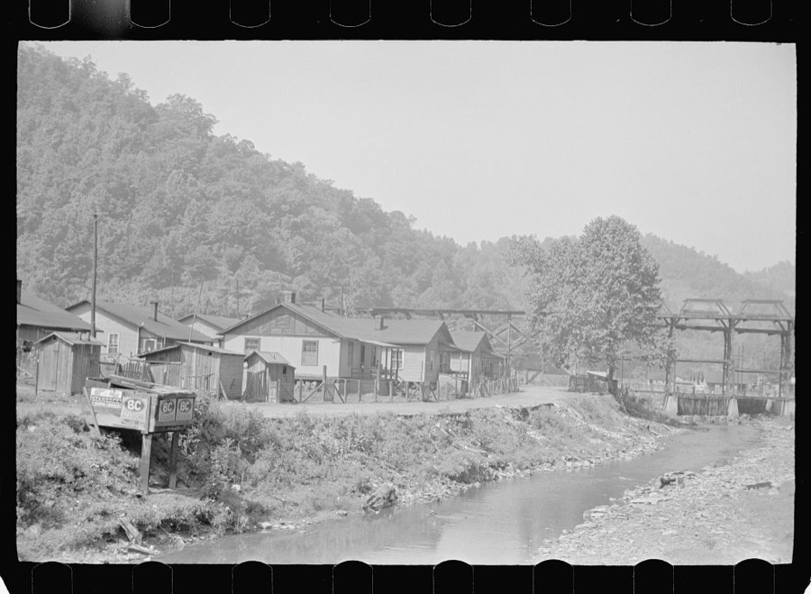
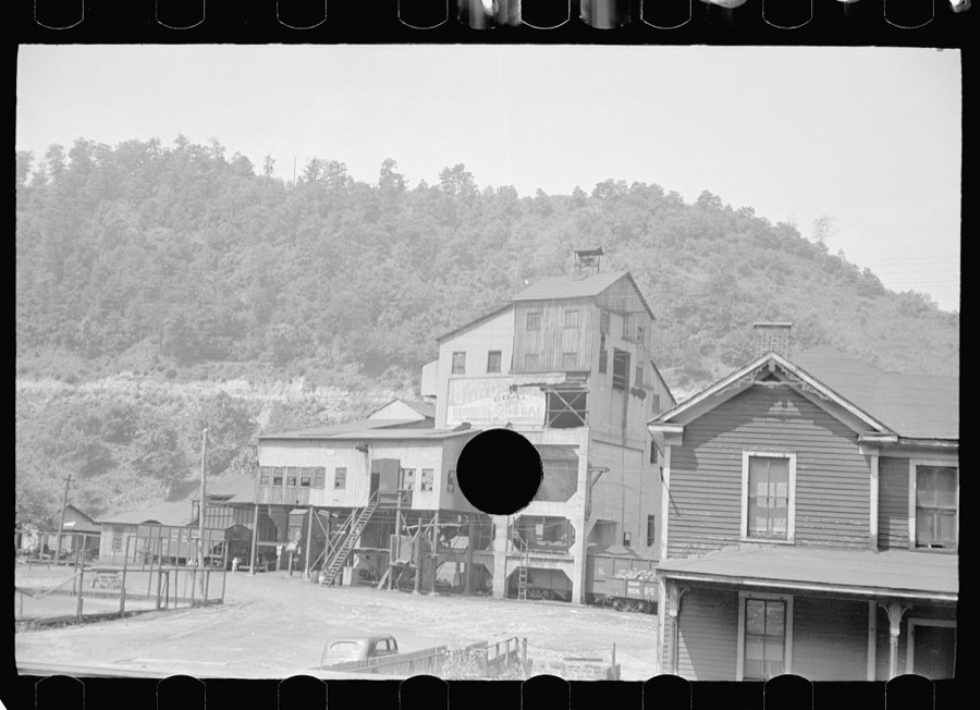
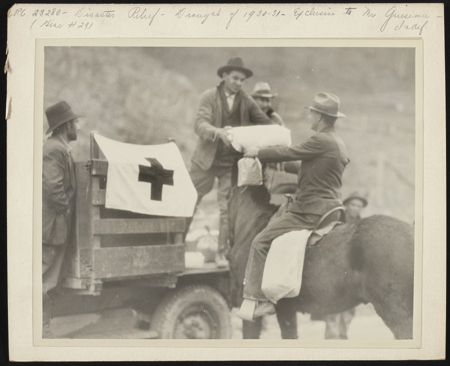
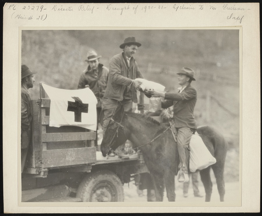
Taken for the Office of War Information and the Farm Security Administration, who photographed the country between 1935 and 1944. Works of United States government photographers, with no known restriction on use. Each opens its catalogue record.
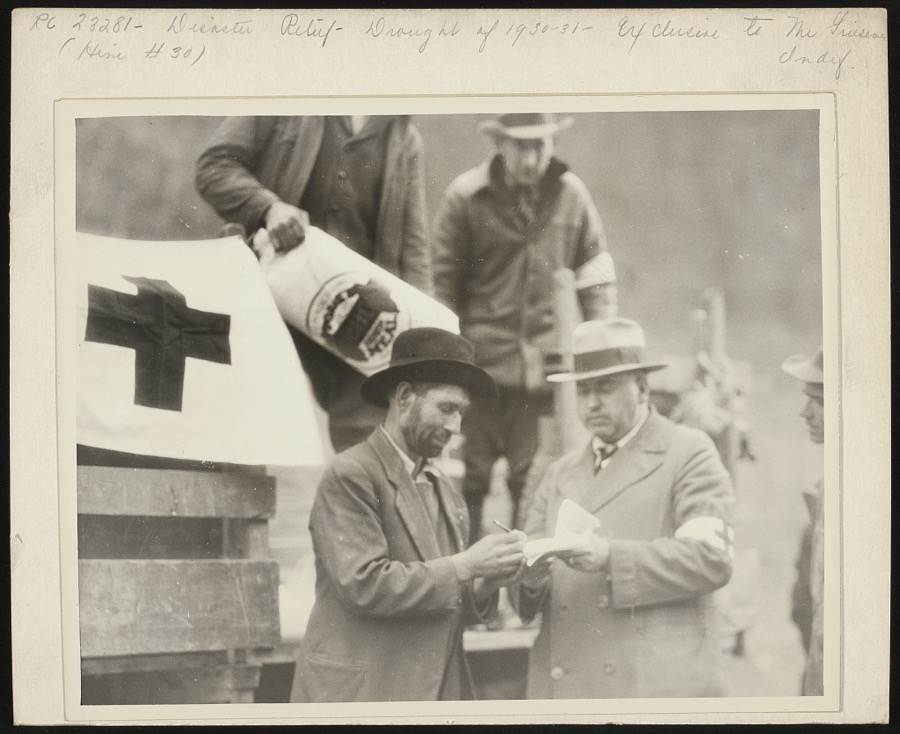
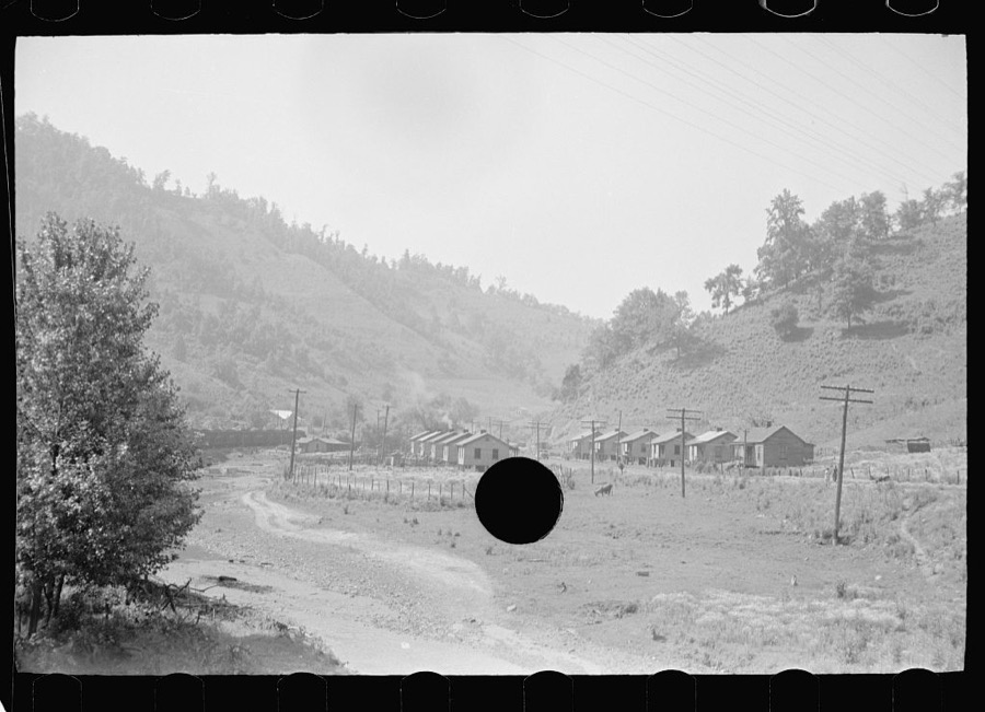
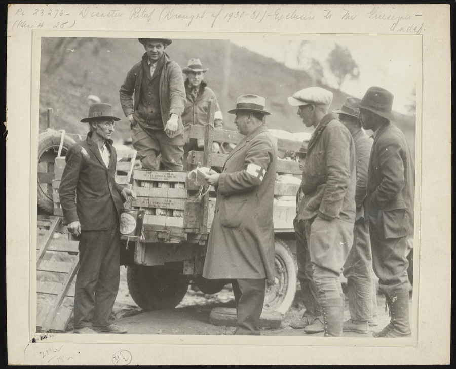
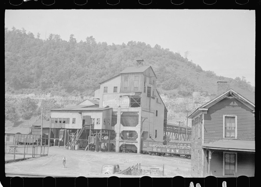
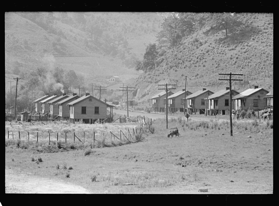

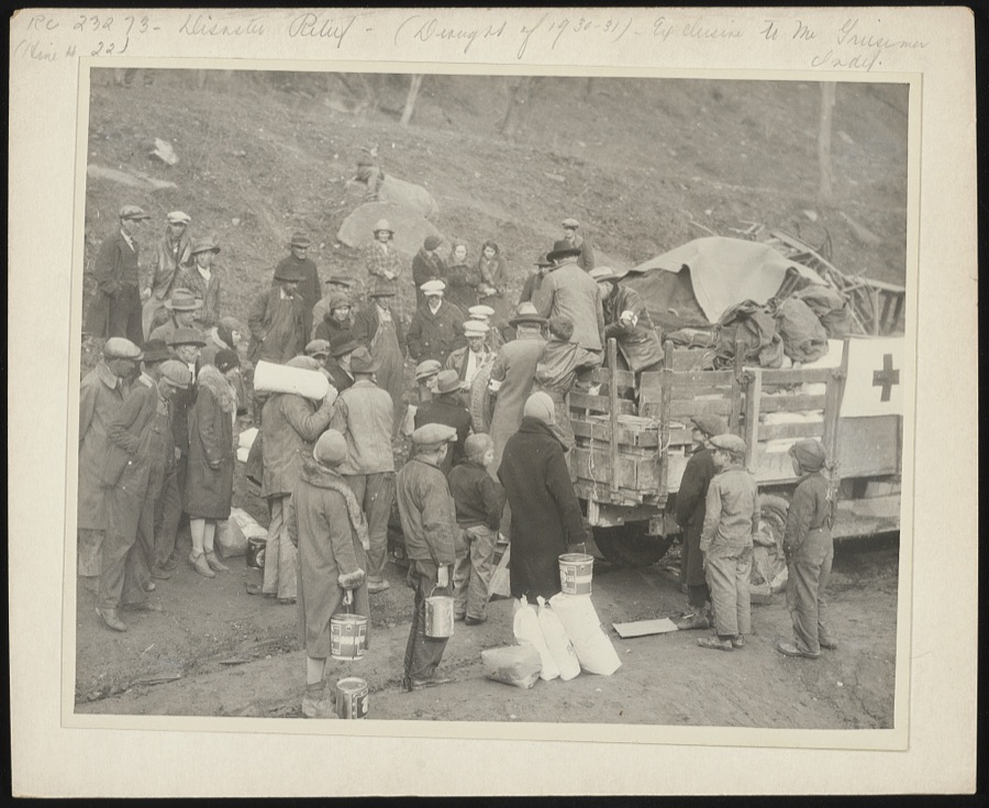
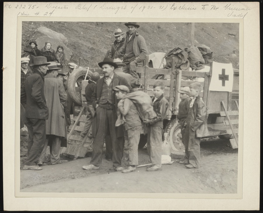

Every property in this county listed on the National Register of Historic Places, with the year it was listed and the federal nomination document.
| Photograph | Property | Type | Listed | Reference |
|---|---|---|---|---|
 | G. D. Callihan House | building | 1989 | 89000389 |
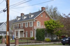 | B. F. Combs House | building | 1989 | 89000390 |
| Fitzpatrick-Harmon House | building | 1989 | 89000388 | |
 | Front Street Historic District | district | 1989 | 89000398 |
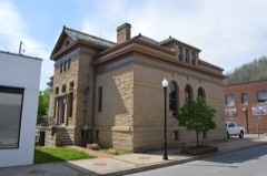 | Harkins Law Office Building | building | 1989 | 89000395 |
 | Joseph D. Harkins House | building | 1989 | 89000394 |
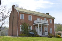 | Samuel May House | building | 1980 | 80001526 |
 | May-Fitzpatrick House | building | 1989 | 89000392 |
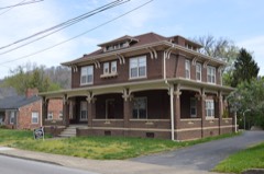 | May-Latta House | building | 1989 | 89000393 |
 | Methodist Episcopal Church, South | building | 1989 | 89000391 |
| Middle Creek Battlefield | site | 1992 | 91001665 | |
| Town Branch Bridge | structure | 1989 | 89000396 | |
 | US Post Office-Prestonsburg | building | 1989 | 89000417 |
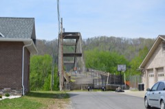 | West Prestonsburg Bridge | structure | 1989 | 89000397 |
| Wheelwright Commercial District | district | 1980 | 80001527 |
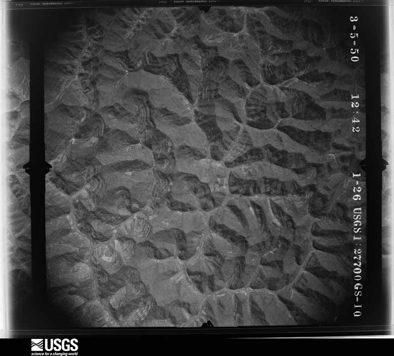
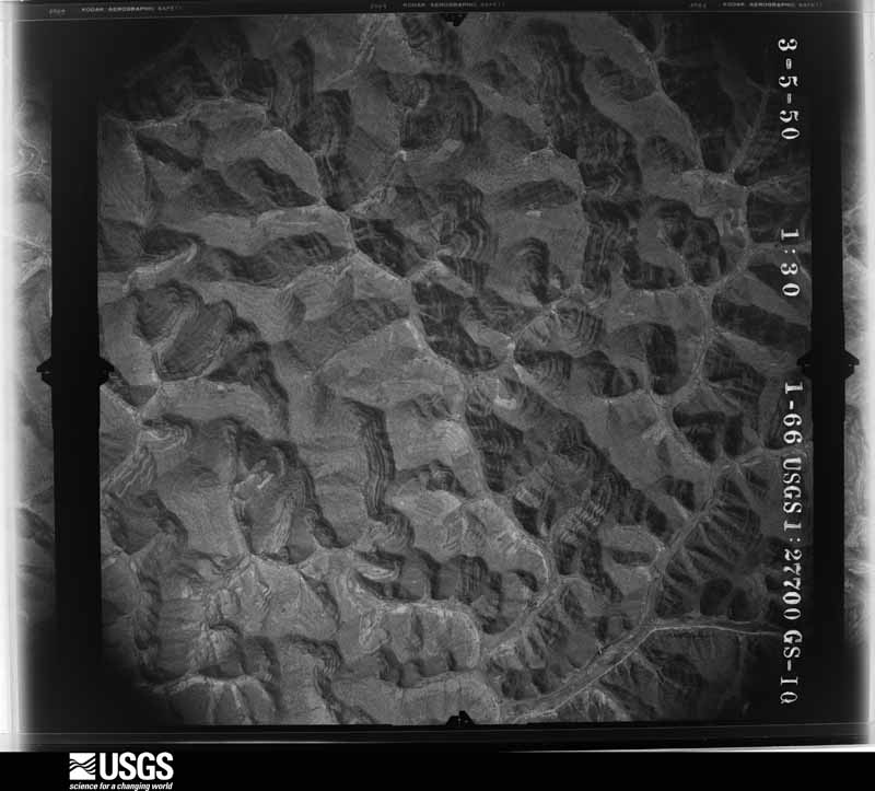
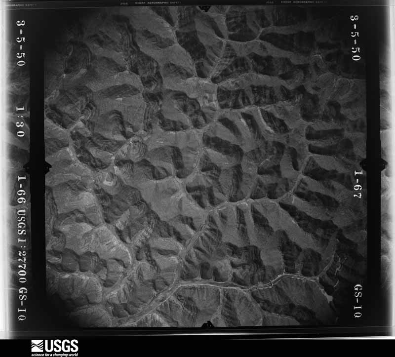
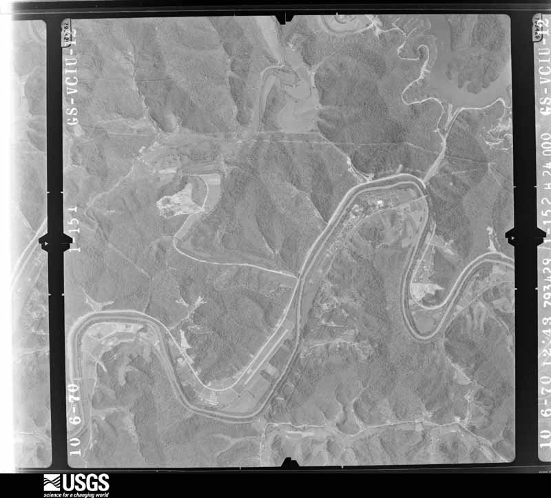
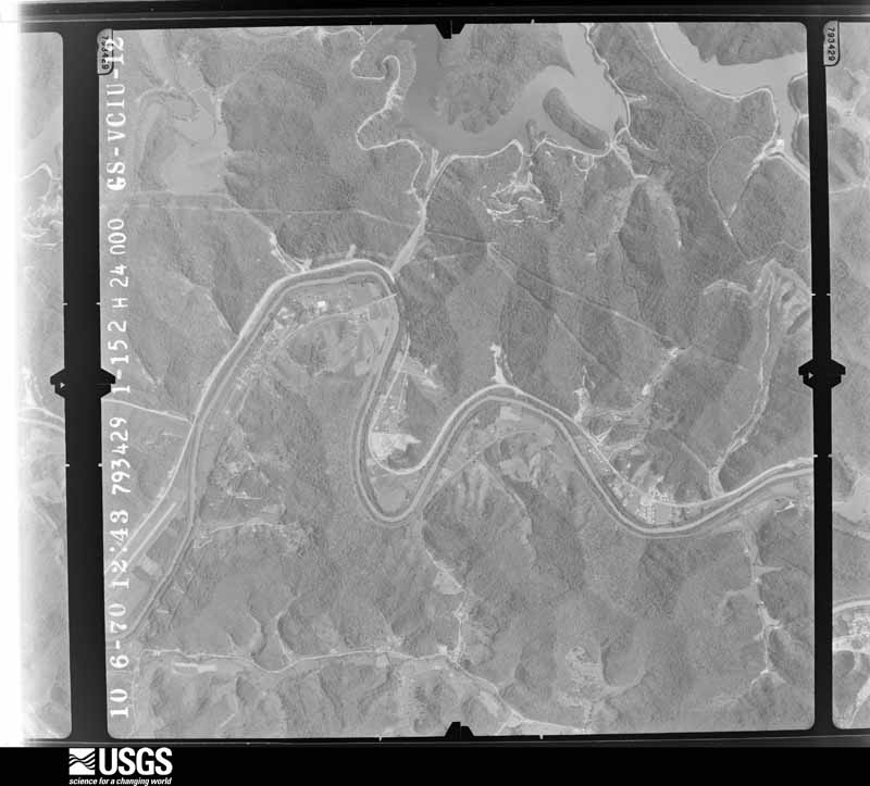
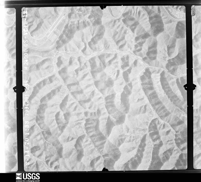
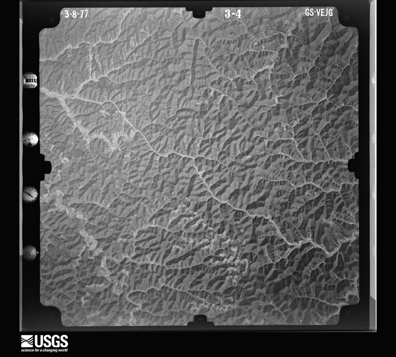
Flown by the U.S. Geological Survey between 1937 and 1989, the Aerial Photo Single Frames collection is the definitive mid-century view of the land: fields, roads and rivers as the camera saw them. The Survey holds 651 frames inside the rectangle that bounds this county; the 32 frames below were taken over the county itself, chosen across the decades of flights (at most four a year from that rectangle), so one flight cannot crowd out the rest. The full set is free to browse and download at EarthExplorer under the dataset Aerial Photo Single Frames.
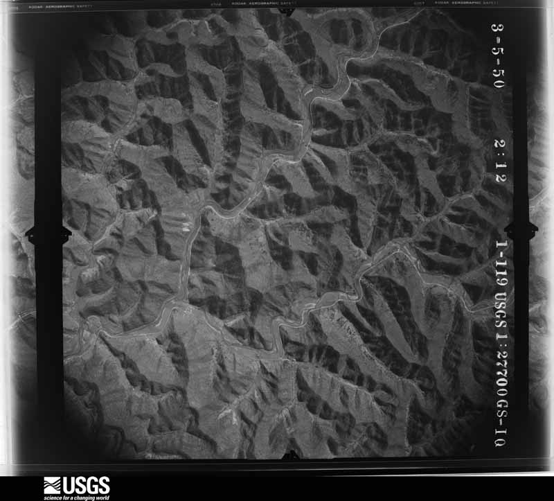
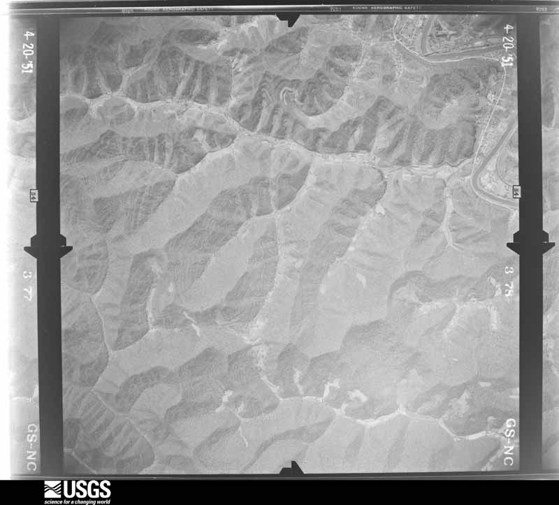
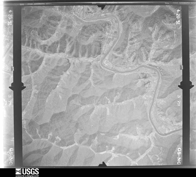
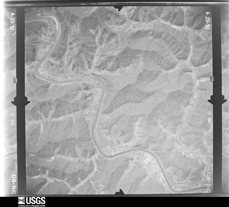
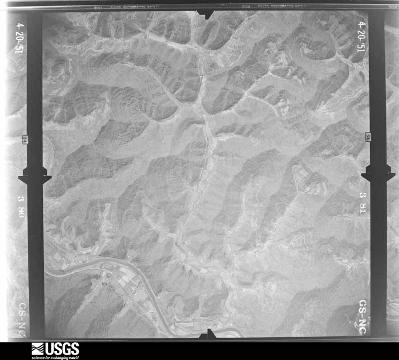
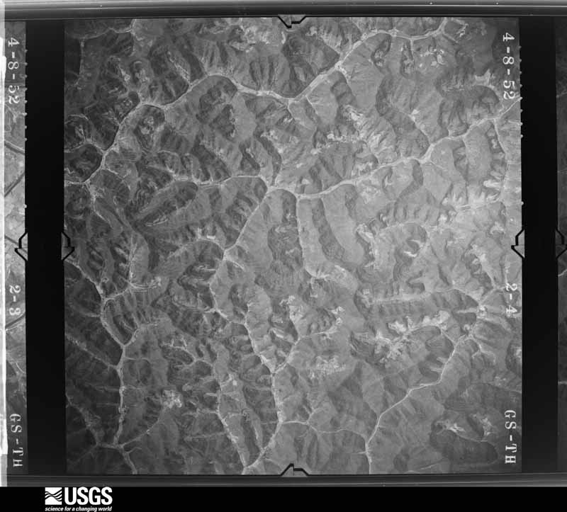

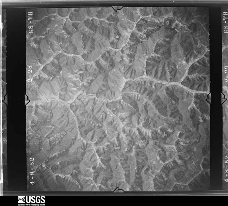
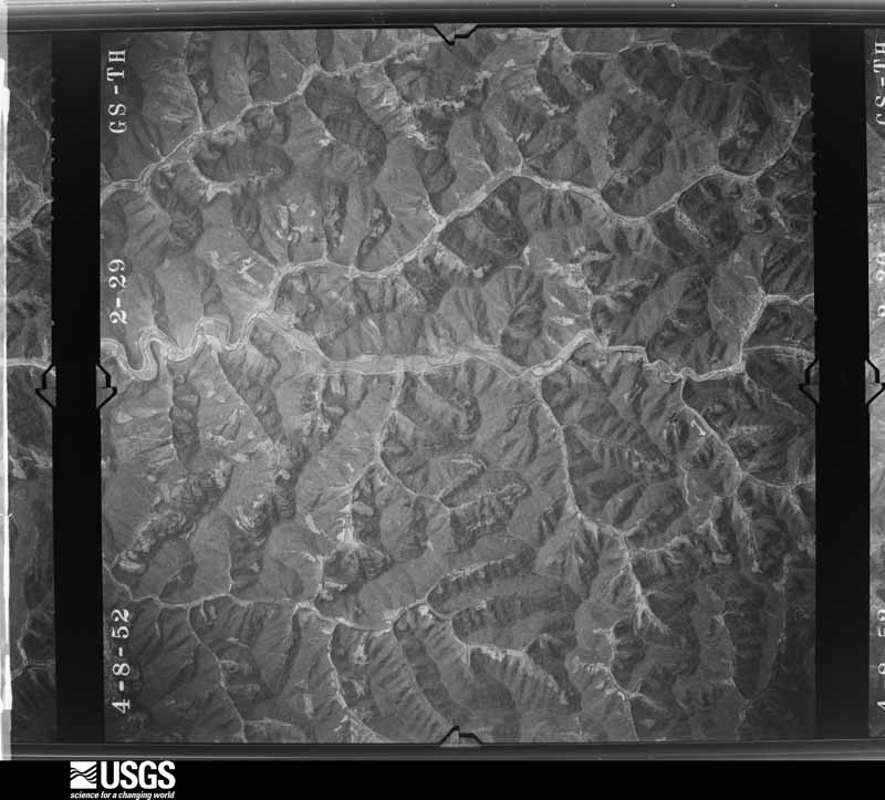
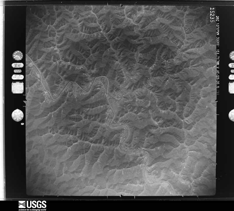
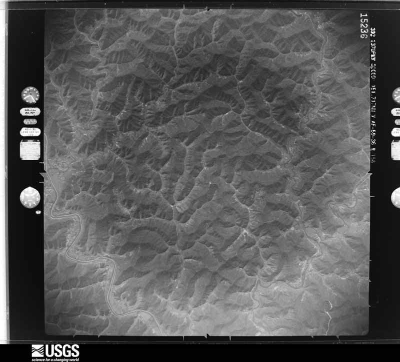
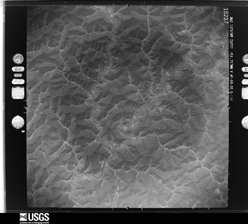
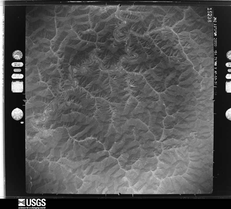
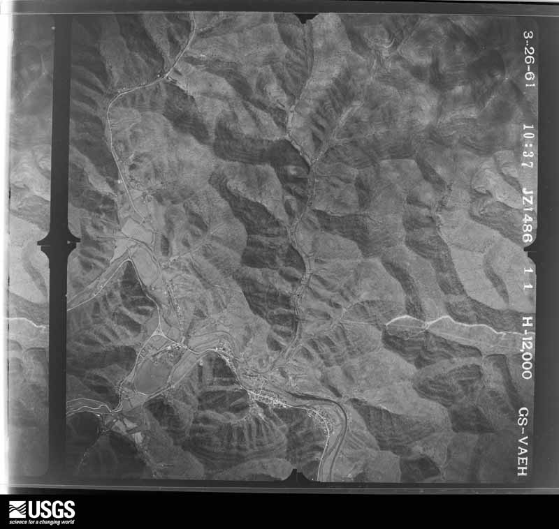
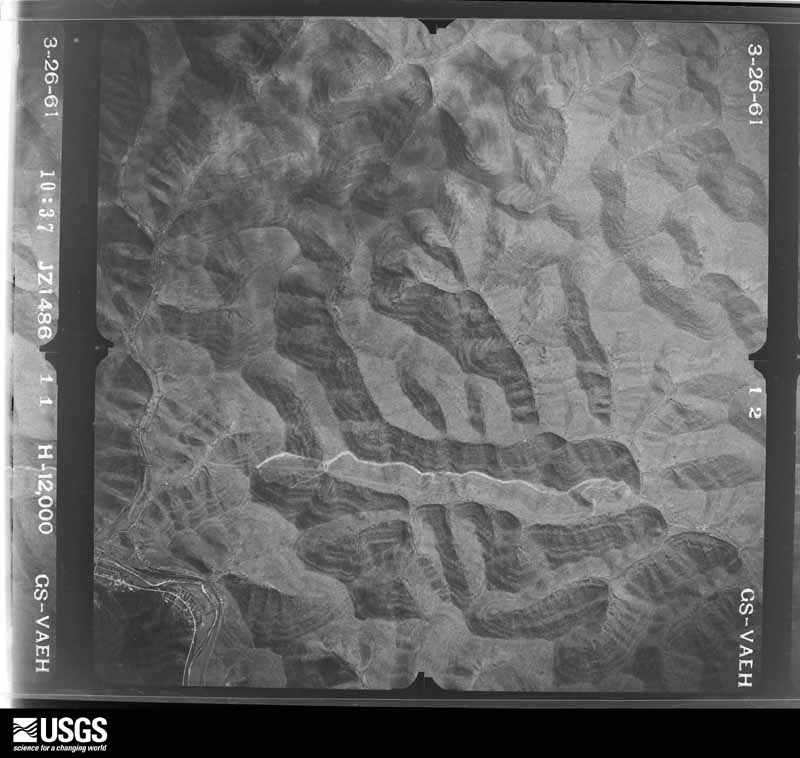
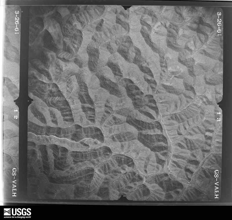
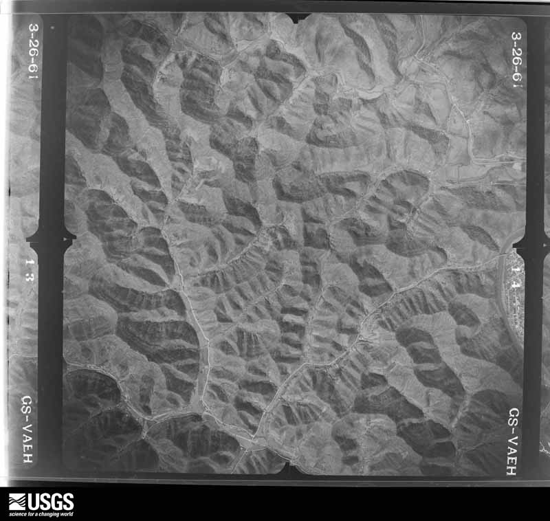








The thermometers that kept this county's weather, and the gages that measured the flow of its streams, as the federal records hold them. The extremes below are measured values from those records, not estimates.
Who lived here in 1950, one enumeration district at a time, as the Census Bureau described each district. Each row opens its official National Archives result, with Population Schedules and ED Maps available there.
Every wildfire the federal occurrence database records inside this county: 1,363 of them, burning about 69,792 acres. None started naturally and 311 were recorded as arson. Each settlement page carries the fires within five miles of it.
| Reported cause | Fires |
|---|---|
| Debris and open burning | 586 |
| Arson/incendiarism | 311 |
| Missing data/not specified/undetermined | 274 |
| Recreation and ceremony | 178 |
| Equipment and vehicle use | 5 |
| Railroad operations and maintenance | 5 |
| Misuse of fire by a minor | 2 |
| Smoking | 2 |
The five largest, by the area the report gives. 6 of them were set deliberately.
| Date | Cause | Size | Reported by | Name on the report |
|---|---|---|---|---|
| 1 November 2001 | Arson/incendiarism | 7,500 acres | Kentucky Division of Forestry | not named |
| 1 November 2000 | Debris and open burning | 1,800 acres | Kentucky Division of Forestry | not named |
| 2 November 2001 | Arson/incendiarism | 1,700 acres | Kentucky Division of Forestry | not named |
| 16 April 1999 | Arson/incendiarism | 1,600 acres | Kentucky Division of Forestry | not named |
| 23 September 2007 | Debris and open burning | 1,500 acres | Kentucky Division of Forestry | not named |
| 18 November 1999 | Arson/incendiarism | 1,500 acres | Kentucky Division of Forestry | not named |
| 6 November 2001 | Arson/incendiarism | 1,200 acres | Kentucky Division of Forestry | not named |
| 5 November 2001 | Arson/incendiarism | 1,000 acres | Kentucky Division of Forestry | not named |
Every settlement page carries the fires within five miles of it - see the settlement index below.
The NOAA Storm Events Database holds 543 reports for this county, causing 1 death, 6 injuries and about $12,046,000 in recorded property damage. Each settlement page carries the reports that name it.
| Kind of event | Reports |
|---|---|
| Thunderstorm Wind | 244 |
| Flash Flood | 112 |
| Hail | 90 |
| Flood | 78 |
| Heavy Rain | 11 |
| Lightning | 3 |
| Debris Flow | 3 |
| Tornado | 2 |
The most serious of them, by death, then injury, then recorded damage. The accounts are quoted exactly as the forecast office filed them.
| When | Event | Place named | Harm | What the report says |
|---|---|---|---|---|
| May 2019 | Thunderstorm Wind | Prestonsburg | 1 killed, $155,000 | A National Weather Service Meteorologist surveyed localized downburst winds in Prestonsburg. These winds caused sporadic damage throughout the community. The highest wind gust estimated was in downtown Prestonsburg on West Court Street |where one half of the roof of a hock shop building was lifted off. This roof landed on West Court Street, including on multiple vehicles, fatally wounding one person in a moving vehicle. Glass was also broken on multiple windows on the north side of the building. There were a number of other buildings and homes with minor roof |or gutter damage nearby, as well as a couple of uprooted trees near the downtown area. A HAM radio tower that had been mounted on the top of the annex building beside the jail and behind the courthouse in downtown Prestonsburg was also destroyed by thunderstorm wind gusts. The winds snapped the support wires that had been holding up the tower causing the tower to break in half and fall onto the roof of the building it had been mounted on and the ground next to the building. Wind speeds that uprooted a tree at a residence on South Highland Avenue were estimated to be in the upper end of the 70 to 80 mph range. |
| September 1970 | Tornado (F1) | not stated | 2 hurt, $25,000 | no account filed |
| August 2001 | Flash Flood | South Central Portion | 1 hurt, $7,600,000 | High water from the areas worst flash flooding in years took its toll on area roads, bridges and homes. Extensive damage resulted in the county, making it one of five in the area to be classified as a Presidentially declared disaster area. Up to 1200 homes were affected by the flash flood. All of the Left Beaver and Mud Creek area from Martin south to the end of the county was the hardest hit. Most of the southern part of the county was without commercial utilities for several days after the flash flood.Several shelters were opened and more than 50 people stayed at the Mud Creek Senior Center, more were housed at Allen Central High School and other locations. Officials reported that Kentucky Highway 979 suffered severe damage. A 2 mile stretch of road along Mud Creek was completely washed out, there was no evidence of the road after waters receded. Road and bridge damage was too numerous to mention individually. A 68 year old man had to be rescued from his truck on Tinker Fork Creek. He was trapped inside the vehicle from 10:30 pm until 3:30 am when the water got so high it forced him to swim out the back window. Rescuers were able to get a rope around his waist and pull him up a cliff to safety. He received some sore muscles but was otherwise uninjured.Two months after the event several roads were still under repair. The 2 mile stretch along Mud Creek was still not repaired and residents were using the creek bed as a road to reach their residences. |
| June 2022 | Lightning | Dotson | 1 hurt, $60,000 | A lightning strike caused a structure fire at a residence on Jack Arnett Branch, leading to an injury to an occupant of the home. |
| April 1999 | Thunderstorm Wind | Allen | 1 hurt, $25,000 | Winds blew off roofs on homes, collapsed a commercial building and knocked over several billboards. One man was injured by a falling cinder block. |
| August 1989 | Thunderstorm Wind | not stated | 1 hurt | no account filed |
| June 2003 | Flash Flood | Dotson | $1,200,000 | Flood waters damaged several county roads, drains, and bridges. Water was flowing across Kentucky Highway 114 near Dotson. A couple of house trailers were submerged in flood waters. There were also several mudslides in the area. |
| August 2014 | Flash Flood | Bonanza | $1,000,000 | Severe flash flooding occurred across parts of Floyd County as three to four inches of rain fell in one to two hours. Flash flood reports first came in from Lancer where eight inches to a foot of water was flowing across a roadway. Flood waters was reported to have entered homes and vehicles along Spradlin Branch and Mays Branch near Prestonsburg and Main Street and North Lake Drive were closed in downtown Prestonsburg. Highway 1427 was washed out by flood waters and the Creekside Subdivision near the confluence of Potts Branch and Abbott Creek was evacuated due to rising water. Flood water washed partially washed out the road at the junction of Highway 979 and 1426 near Harold. Flood waters were reported to be covering all four lanes of US 23 near Auxier as late as midnight. |
| April 1998 | Flash Flood | Countywide | $165,000 | no account filed |
| January 2012 | Thunderstorm Wind | Dotson | $100,000 | Trees were blown down throughout the county. Several trees were snapped or uprooted and power lines were downed along Hwy 114 and in Rough and Tough Branch in and near the community of Dotson. A billboard was also severely damaged due to the winds. The local VFD reported several transformer fires due to the downed trees and power lines. |
| April 2007 | Flash Flood | Wayland | $100,000 | Multiple homes flooded. One family rescued from their home. |
| February 2021 | Flash Flood | Martin | $75,000 | Reports of 2 to 4 feet of water that is now inundating downtown Martin. Also notified of numerous water rescues ongoing across Floyd County as well. |
| April 2007 | Flash Flood | Grethel | $60,000 | Flood water on Rt 979 delayed Fire Dept from responding to home fire. An alternate route had to found. |
| March 2025 | Thunderstorm Wind | Eastern | $50,000 | Significant damage was observed at the Floyd County Board of Education in the community of Eastern, where wind penetrated steel doors of the gymnasium next to the main building, before escaping through the NW portion of the gymnasium roof, blowing out a substantial section. |
| February 2018 | Flood | Justell | $50,000 | A horse farm was washed out by the flooded Levisa Fork. |
| June 2012 | Thunderstorm Wind | Prestonsburg | $50,000 | There were numerous calls of trees and power lines down. |
| May 2009 | Flash Flood | Dotson | $50,000 | Power poles and lines were reported down due to loose earth. One home caught fire after a live power line fell on it in Buckeye Branch. Flood waters were preventing rescuers from reaching the residence. |
| June 2008 | Thunderstorm Wind | Prestonsburg | $50,000 | Numerous trees and power lines were blown down at the Jenny Wiley State Park. Part of one tree fell on a building. Several boats were blown loose from the dock on Dewey Lake. One tree was blown down on a vehicle near Dewey Lake. |
| June 1994 | Thunderstorm Wind | not stated | $50,000 | The sheriff's office in Floyd County reported that trees were downed on Highway 404 in the David area. |
| March 2021 | Flood | Bonanza | $40,000 | Spotter reported 5 feet of water now over KY 1427 (Abbott Creek Rd) just west of Prestonsburg. Water was also continuing to rise. |
| February 2021 | Flood | Bonanza | $40,000 | Spotter reported 5 feet of water now over KY 1427 (Abbott Creek Rd) just west of Prestonsburg. Water was also continuing to rise. |
| June 2001 | Flash Flood | Prestonsburg | $40,000 | Raging water in the Middle Creek forced several families from their homes after heavy rains fell across the area. Several mobile homes were flooded leaving a coating of mud throughout the interior. One car was washed up against a tree. Eight residences were affected by the high waters and 5 families had to be evacuated. |
| July 2022 | Flash Flood | Gunlock | $35,000 | A picture shows a single wide trailer having floated across Mill Creek Road Bridge, and is wedged against the guard rail by flash flood waters. |
| February 2019 | Flash Flood | Prestonsburg | $35,000 | A spotter observed 3-4 foot deep water flowing over Abbott Creek Road near Bonanza. Creekside Subdivision had homes with water entering their crawl spaces, while a truck was picked up by the quickly flowing water. |
| April 2008 | Thunderstorm Wind | Blue Moon | $35,000 | A few trailers were damaged and many trees were snapped or uprooted. |
| March 2020 | Flood | Bonanza | $30,000 | Emergency Management reported water from Abbott Creek was approaching the foundation of several low lying homes along Kentucky Highway 1427 east of Bonanza. Over one foot of water made it into a few homes, causing major damage. |
| September 1998 | Flash Flood | Prestonsburg | $30,000 | Flash flooding occurred Monday afternoon for about one hour at Stratton Branch. The water roared down a hillside and knocked buildings from their foundation, pulled a culvert loose and tore up chunks of pavement. Two mobile homes sustained flood damage. |
| August 2022 | Flash Flood | Dotson | $25,000 | Ruff and Tuff Road culvert was washed out, leading to the road being closed near the community of Dotson. |
| February 2021 | Flood | Bonanza | $25,000 | KY 1427 (Abbott Creek Rd) about 3 miles west of U.S. 23 was impassable with 2.5 to 3 feet of water estimated to be flowing over it. A vehicle was stranded in the flood waters in this location. This is a very flood prone area. |
| May 2019 | Thunderstorm Wind | Allen | $25,000 | A trained spotter observed a tree blown over onto a house in Allen. |
| May 2019 | Thunderstorm Wind | West Prestonsburg | $25,000 | Emergency Management reported tree damage southwest of Prestonsburg, including one falling on a house as well as the top of a pear tree being broken off. |
| May 2011 | Flood | West Prestonsburg | $25,000 | Hwy 1427, also known as Abbott Creek Road, had one and one and a half feet of water flowing over it three miles from the junction with Hwy 23. |
| January 2008 | Thunderstorm Wind | Prestonsburg | $25,000 | The Road Dept responded to reports of approximately 25 trees blocking roads all across the county. Highway 3190 was still blocked by downed trees as of 230 pm EST. This damage was caused by wind gusts estimated at 63 mph. |
| April 2007 | Flash Flood | Printer | $25,000 | Families evacuated from homes due to flooding. |
| April 2025 | Flash Flood | Bonanza | $20,000 | A creek is out of it's banks and inundating homes near Creekside Drive along Abbott Creek near Prestonsburg. |
| June 2022 | Thunderstorm Wind | Prestonsburg | $20,000 | A large tree was uprooted and blown over near the corner of Scott Lane and Dingus Street. Numerous other trees were blow down in the city of Prestonsburg including one that was blown down and onto a mobile home. |
| March 2021 | Flood | Bonanza | $20,000 | KY 1427 (Abbott Creek Rd) about 3 miles west of U.S. 23 was impassable with 2.5 to 3 feet of water estimated to be flowing over it. A vehicle was stranded in the flood waters in this location. This is a very flood prone area. |
| February 2021 | Flood | Dotson | $20,000 | Middle Creek is flooded and continuing to rise in the Dotson community, encompassing yards and low lying areas along the creek. |
| February 2021 | Flood | Glo | $20,000 | Broadcast media had a picture shared on social media from the public, showing flooding across a road in the community of Estill and up to the edge of a home. The exact road is unknown. |
| May 2008 | Thunderstorm Wind | Bosco | $20,000 | Numerous trees were blown down across a fifty foot wide by one quarter mile long path. |
| April 2008 | Thunderstorm Wind | Garrett | $20,000 | Several trees were blown down, with a few of the trees falling onto cars. |
| March 2021 | Flash Flood | Salisbury | $15,000 | A bridge was washed out on Spurlock Creek, and a car was stuck where the pavement had broken. |
| June 2017 | Thunderstorm Wind | Betsy Layne | $15,000 | A trained spotter and emergency management reported multiple trees down near Tram. A mobile home was also knocked off of its block. |
| June 2009 | Thunderstorm Wind | Garrett | $15,000 | Multiple trees were blown down. |
| September 2007 | Thunderstorm Wind | Betsy Layne | $15,000 | Numerous trees down between Stanville and Betsy Layne, mainly near Highway 460. Roof damage in Stanville allowed heavy rain to collapse building onto first floor. Building interior heavily damage by torrential rain. |
| February 1998 | Thunderstorm Wind | Prestonsburg | $15,000 | no account filed |
| April 1996 | Thunderstorm Wind | Prestonsburg | $15,000 | no account filed |
| March 2025 | Thunderstorm Wind | Midas | $10,000 | A NWS Storm Survey team was sent out to Floyd County to look at widespread damage that occurred at this location as thunderstorms moved through. The survey team concluded that the damage was in line with straight line winds and not a tornado. Damage was observed along the hillside near Brush Creek at the intersection of KY-550 and KY-850, with several trees uprooted or snapped headed in the northeasterly direction. A residence also received damage at this location ( just north of the intersection), where wind hit the broad side of the barn before peeling the roofing off. Several more trees were snapped and uprooted at this location, including a 300 year old oak tree that sustained damage. Peak winds were likely between 90 and 100 mph at this location. |
| December 2019 | Flood | Prestonsburg | $10,000 | Local media reported flooding due to heavy rain in Archer Park in Prestonsburg. This caused damage to the city's Christmas lights display as the Levisa Fork of the Big Sandy River rose to 20 feet, causing the river to overspill its banks into the park. |
| May 2017 | Flash Flood | Drift | $10,000 | Emergency management relayed reports of numerous roadways containing flowing water over them throughout Floyd County, including Kentucky Highway 1210. One road had high enough water to reach the hoods of cars near Martin, while several roads were closed due to culverts being washed out from Martin to Drift. |
| August 2013 | Flash Flood | Garrett | $10,000 | A number of homes in the Rock Fork community were damaged by flood water. |
| August 2013 | Flash Flood | Wayland | $10,000 | Route 7 was closed for about an hour due to flooding. At least 6 homes in the area experienced significant flooding. |
| April 2011 | Thunderstorm Wind | Dana | $10,000 | Several trees were snapped and a home suffered minor damage in Dana. |
| April 2011 | Tornado (EF1) | Beaver | $10,000 | The storm survey team confirmed an EF1 tornado touched down 2.7 miles south of Teaberry in extreme southeastern Floyd county Monday April 4th. The estimated max winds were around 90 MPH. The path length was 0.4 miles with a path width of 100 yards. The tornado touched down on Smokey Branch and destroyed a trailer home and downed close to 100 trees. |
| May 2009 | Flash Flood | Dana | $10,000 | A mobile home was washed away in the Martin area due to flood waters. A family of six was waiting to be rescued on high ground but was able to evacuate from their mobile home. |
| May 2009 | Flash Flood | Dotson | $10,000 | Rock and mud slides have been reported along Kentucky Route 404 in the David and Blue River areas along the left fork of Middle Creek. |
| April 2007 | Flash Flood | Beaver | $10,000 | Home flooded at Teaberry. |
| July 2001 | Flash Flood | Banner | $10,000 | Heavy rains caused flash flooding across the county. On Ivy Creek flood waters threaten 5 homes. One wheelchair occupant had to be evacuated. |
| May 1996 | Flash Flood | Prestonsburg | $10,000 | no account filed |
| August 1996 | Flash Flood | Mc Dowell | $10,000 | no account filed |
The Survey's mineral resources record lists 4 workings inside this county. 1 still produces and 3 are closed or unrecorded. Each settlement page carries the workings within five miles of it.
| Commodity | Workings |
|---|---|
| Silica | 1 |
| Stone, Crushed/Broken | 1 |
| Clay | 1 |
| Sand and Gravel, Construction | 1 |
The least common of them first, because a county's hundredth gravel pit says nothing its first ten did not.
| Where | Site | Commodity | Status | Recorded |
|---|---|---|---|---|
| Allen Plant | Sand and Gravel, Construction | Past Producer | ||
| East Point Roadcut | Clay | Prospect | ||
| F-1 Mine | Stone, Crushed/Broken | Producer | ||
| Levisa Fork Sandstone Pit | Silica | Past Producer |
Named settlements recorded in the Geographic Names Information System, each with the topographic sheets covering it. Villages, hamlets and abandoned places alike. Each is shown with the nearest named watercourse or landform and the survey quadrangle it falls on. The 1 place that was also surveyed for fire insurance comes first, with the number of atlases and photographs held for them.
Prestonsburg census division · 41653 · On Town Branch · Prestonsburg quadrangle
17 sheets, 1886 to 1992
Fire insurance: 2 atlases
Martin-Allen census division · 41601 · On Hatcher Branch · Harold quadrangle
16 sheets, 1886 to 1992
Martin-Allen census division · 41649 · On Stephens Branch · Martin quadrangle
17 sheets, 1886 to 1992
Prestonsburg census division · 41653 · On Cow Creek · Lancer quadrangle
18 sheets, 1886 to 1992
Grethel-Teaberry census division · 41635 · On Little Mud Creek · Harold quadrangle
16 sheets, 1886 to 1992
Martin-Allen census division · 41649 · On Arkansas Creek · Harold quadrangle
16 sheets, 1886 to 1992
Prestonsburg census division · 41602 · Near Jockey Hollow · Prestonsburg quadrangle
17 sheets, 1886 to 1992
Betsy Layne-Stanville census division · 41603 · On Daniels Creek · Harold quadrangle
16 sheets, 1886 to 1992
Prestonsburg census division · 41216 · On Fryleys Branch · Prestonsburg quadrangle
17 sheets, 1886 to 1992
Grethel-Teaberry census division · 41604 · On Tackett Fork · McDowell quadrangle
18 sheets, 1890 to 1992
Martin-Allen census division · 41601 · On Beaver Creek · Harold quadrangle
16 sheets, 1886 to 1992
Betsy Layne-Stanville census division · 41605 · On Betsy Layne Branch · Harold quadrangle
16 sheets, 1886 to 1992
Grethel-Teaberry census division · 41655 · On Trace Fork · Harold quadrangle
16 sheets, 1886 to 1992
Prestonsburg census division · 41607 · On Buckeye Branch · Martin quadrangle
17 sheets, 1886 to 1992
Prestonsburg census division · 41653 · On State Road Fork · Prestonsburg quadrangle
17 sheets, 1886 to 1992
Wayland census division · 41640 · On Saltlick Creek · Wayland quadrangle
17 sheets, 1890 to 1992
Prestonsburg census division · 41653 · On Prater Branch · Ivyton quadrangle
16 sheets, 1886 to 1992
Wheelwright-Weeksbury census division · 41606 · On Wolfpen Branch · Wheelwright quadrangle
19 sheets, 1890 to 1992
Prestonsburg census division · 41653 · On Brandy Keg Creek · Lancer quadrangle
18 sheets, 1886 to 1992
Wheelwright-Weeksbury census division · 41612 · On Riley Branch · Wheelwright quadrangle
19 sheets, 1890 to 1992
Prestonsburg census division · 41653 · On May Branch · Prestonsburg quadrangle
17 sheets, 1886 to 1992
Martin-Allen census division · 41601 · On Eel Branch · Harold quadrangle
16 sheets, 1886 to 1992
Grethel-Teaberry census division · 41635 · On Mink Branch · McDowell quadrangle
18 sheets, 1890 to 1992
Betsy Layne-Stanville census division · On Spurlock Fork · Harold quadrangle
16 sheets, 1886 to 1992
Risner census division · 41616 · On Rough and Tough Creek · David quadrangle
17 sheets, 1886 to 1992
Wayland census division · 41666 · On Bradley Branch · Wayland quadrangle
17 sheets, 1890 to 1992
Prestonsburg census division · 41653 · On Mill Branch · Prestonsburg quadrangle
17 sheets, 1886 to 1992
McDowell census division · 41619 · On Frozen Creek · McDowell quadrangle
18 sheets, 1890 to 1992
Prestonsburg census division · 41621 · On Beaver Creek · Harold quadrangle
16 sheets, 1886 to 1992
McDowell census division · 41647 · On Hall Fork · McDowell quadrangle
18 sheets, 1890 to 1992
Martin-Allen census division · 41622 · On Wilson Creek · Martin quadrangle
17 sheets, 1886 to 1992
Prestonsburg census division · 41653 · On Calf Creek · Lancer quadrangle
18 sheets, 1886 to 1992
Prestonsburg census division · 41653 · On Toms Branch · Lancer quadrangle
18 sheets, 1886 to 1992
Wayland census division · 41666 · On Martin Branch · Wayland quadrangle
17 sheets, 1890 to 1992
Grethel-Teaberry census division · 41635 · On Penhook Branch · Broad Bottom quadrangle
15 sheets, 1886 to 1992
Grethel-Teaberry census division · 41635 · On Neck Branch · McDowell quadrangle
18 sheets, 1890 to 1992
Wayland census division · 41630 · On Esteps Branch · Wayland quadrangle
17 sheets, 1890 to 1992
Grethel-Teaberry census division · 41631 · On Branham Creek · McDowell quadrangle
18 sheets, 1890 to 1992
Wheelwright-Weeksbury census division · 41606 · On Frozen Fork · Wheelwright quadrangle
19 sheets, 1890 to 1992
McDowell census division · 41636 · On Clear Creek · McDowell quadrangle
18 sheets, 1890 to 1992
Martin-Allen census division · 41649 · On Left Fork Beaver Creek · Martin quadrangle
17 sheets, 1886 to 1992
Grethel-Teaberry census division · 41603 · On Kidd Fork · Harold quadrangle
16 sheets, 1886 to 1992
Wayland census division · 41640 · On Saltlick Creek · Wayland quadrangle
17 sheets, 1890 to 1992
No longer a settlement
Martin-Allen census division · 41655 · On Hunter Branch · Martin quadrangle
17 sheets, 1886 to 1992
Betsy Layne-Stanville census division · 41642 · On Ivy Creek · Harold quadrangle
16 sheets, 1886 to 1992
Wheelwright-Weeksbury census division · 41606 · On Jacks Creek · Wheelwright quadrangle
19 sheets, 1890 to 1992
Betsy Layne-Stanville census division · 41605 · On Betsy Layne Branch · Harold quadrangle
16 sheets, 1886 to 1992
Wayland census division · 41630 · On Stonecoal Branch · Wayland quadrangle
17 sheets, 1890 to 1992
Prestonsburg census division · 41653 · On Bull Creek · Lancer quadrangle
18 sheets, 1886 to 1992
Martin-Allen census division · 41645 · On Turkey Creek · Martin quadrangle
17 sheets, 1886 to 1992
Wheelwright-Weeksbury census division · 41604 · On Slone Branch · Wheelwright quadrangle
19 sheets, 1890 to 1992
Martin-Allen census division · 41649 · On Buck Branch · Martin quadrangle
17 sheets, 1886 to 1992
McDowell census division · 41647 · On Frasure Creek · McDowell quadrangle
18 sheets, 1890 to 1992
Wheelwright-Weeksbury census division · 41650 · On Abner Fork · Wheelwright quadrangle
19 sheets, 1890 to 1992
McDowell census division · 41651 · On Sizemore Branch · Wayland quadrangle
17 sheets, 1890 to 1992
Martin-Allen census division · 41601 · On Bridge Branch · Harold quadrangle
16 sheets, 1886 to 1992
Wayland census division · 41640 · On Goose Creek · Martin quadrangle
17 sheets, 1886 to 1992
McDowell census division · 41636 · On Spewing Camp Branch · McDowell quadrangle
18 sheets, 1890 to 1992
Grethel-Teaberry census division · 41635 · On Cager Branch · Pikeville quadrangle
18 sheets, 1890 to 1992
Wayland census division · 41630 · On Stonecoal Branch · Wayland quadrangle
17 sheets, 1890 to 1992
McDowell census division · 41636 · Near Indian Grave Hollow · McDowell quadrangle
18 sheets, 1890 to 1992
Martin-Allen census division · 41655 · On Spurlock Creek · Harold quadrangle
16 sheets, 1886 to 1992
Risner census division · 41616 · On Prater Branch · Martin quadrangle
17 sheets, 1886 to 1992
Risner census division · 41649 · On Alum Lick Fork · Martin quadrangle
17 sheets, 1886 to 1992
Risner census division · 41653 · On Lafferty Branch · Martin quadrangle
17 sheets, 1886 to 1992
Betsy Layne-Stanville census division · 41659 · On Mare Creek · Harold quadrangle
16 sheets, 1886 to 1992
Grethel-Teaberry census division · 41660 · On Red Morg Branch · McDowell quadrangle
18 sheets, 1890 to 1992
Prestonsburg census division · 41653 · On Wolf Branch · Thomas quadrangle
16 sheets, 1886 to 1992
Betsy Layne-Stanville census division · On Mare Creek · Harold quadrangle
16 sheets, 1886 to 1992
Martin-Allen census division · 41645 · On Johns Branch · Martin quadrangle
17 sheets, 1886 to 1992
Prestonsburg census division · 41653 · On Mutton Fork · Lancer quadrangle
18 sheets, 1886 to 1992
Wayland census division · 41666 · On Steele Creek · Wayland quadrangle
17 sheets, 1890 to 1992
Wheelwright-Weeksbury census division · 41667 · On Caleb Fork · Wheelwright quadrangle
19 sheets, 1890 to 1992
Wayland census division · 41640 · On Esteps Branch · Wayland quadrangle
17 sheets, 1890 to 1992
Wayland census division · 41640 · On Esteps Branch · Wayland quadrangle
17 sheets, 1890 to 1992
Prestonsburg census division · 41653 · On Middle Creek Levisa Fork · Prestonsburg quadrangle
17 sheets, 1886 to 1992
Wheelwright-Weeksbury census division · 41669 · On Right Fork Otter Creek · Wheelwright quadrangle
19 sheets, 1890 to 1992
Wheelwright-Weeksbury census division · 41612 · On Otter Creek · Wheelwright quadrangle
19 sheets, 1890 to 1992
Prestonsburg census division · 41653 · On Clark Branch · Thomas quadrangle
16 sheets, 1886 to 1992
Prestonsburg census division · 41653 · On Tom Sellers Branch · Lancer quadrangle
18 sheets, 1886 to 1992
The vanished settlements of Floyd County: the places named above that are no longer on the map.