 Block
From the record
67 National Register listings published here.
Sources: the county history on the Internet Archive · the National Register database, National Park Service
37 topographic sheets and 8 fire insurance atlases across 1 place.
67 National Register listings published here.
Sources: the county history on the Internet Archive · the National Register database, National Park Service
Every property in this county listed on the National Register of Historic Places, with the year it was listed and the federal nomination document.
| Photograph | Property | Type | Listed | Reference |
|---|---|---|---|---|
| John Arnold House | building | 1983 | 83002777 | |
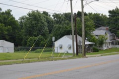 | Billy Ball House | building | 1984 | 84001434 |
| Barlow House | building | 1985 | 85001276 | |
| Calvin Blakeman House | building | 1985 | 85001277 | |
| Bonta-Owsley House | building | 1985 | 85001278 | |
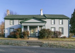 | Boyle-Robertson-Letcher House | building | 1975 | 75000761 |
| Gov. William O. Bradley House | building | 1974 | 74000876 | |
 | Bryantsville Methodist Church | building | 1985 | 85001279 |
| Bryantsville Post Office and Store | building | 1985 | 85001280 | |
 | Calico & Brown General Store | building | 1985 | 85001281 |
| Dalton House | building | 1985 | 85001282 | |
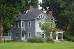 | Denny Place | building | 1984 | 84001439 |
| Dr. Edwards House | building | 2008 | 08000650 | |
| Dunn-Watkins House | building | 1985 | 85001283 | |
| John Floyd House | building | 1975 | 75000762 | |
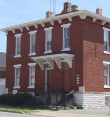 | Garrard County Jail | building | 1984 | 84001442 |
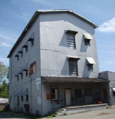 | Garrard Mills | building | 1984 | 84001447 |
| Gulley Farm | building | 1985 | 85001284 | |
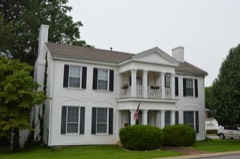 | Hamilton House | building | 1984 | 84001449 |
| Roscoe Hamilton House | building | 1985 | 85001285 | |
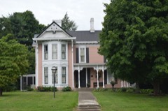 | J. C. Hemphill House | building | 1984 | 84001451 |
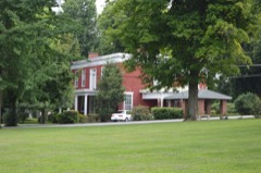 | Dr. Oliver Perry Hill House | building | 1984 | 84001455 |
| John Hutcherson House | building | 1983 | 83002778 | |
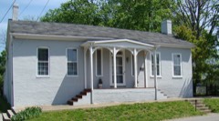 | Jennings-Salter House | building | 1980 | 80001531 |
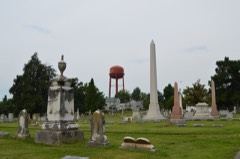 | Lancaster Cemetery | site | 1984 | 84001458 |
 | Lancaster Commercial Historic District | district | 1984 | 84001461 |
| Lane Farm | building | 1985 | 85001286 | |
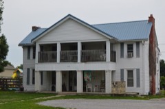 | Judge V. A. Lear House | building | 1984 | 84001464 |
| John Leavell Quarters | building | 1983 | 83002779 | |
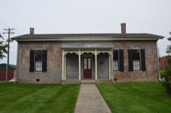 | Male Academy | building | 1984 | 84001467 |
 | Sue Shelby Mason House | building | 1984 | 84001470 |
| Isaac Metcalf House | building | 1985 | 85001287 | |
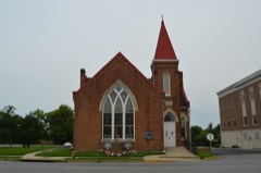 | Methodist Episcopal Church | building | 1984 | 84001473 |
| William Miller Place | building | 1985 | 85001288 | |
| Mt. Olivet Methodist Church | building | 1985 | 85001289 | |
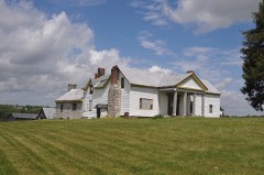 | Carry A. Nation House | building | 1977 | 77000620 |
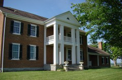 | Gov. William Owsley House | building | 1975 | 75000763 |
| Paint Lick Commercial District | district | 2014 | 14000017 | |
| Paint Lick Presbyterian Church | building | 1985 | 85001290 | |
| Paint Lick School | building | 2007 | 07000284 | |
| Parke-Moore House | building | 1985 | 85001291 | |
| William Parks House | building | 1985 | 85001292 | |
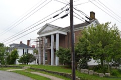 | Peacock House | building | 1984 | 84001481 |
 | Peacock-Miller House | building | 1984 | 84001482 |
| Lucien Perkins Farm | building | 1989 | 85003767 | |
| Perkins-Daniel House | building | 1985 | 85001293 | |
| Petrie House | building | 1984 | 84001484 | |
| Proctor House | building | 1983 | 83002780 | |
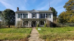 | Rankin Place | building | 1985 | 85001294 |
| Ray House | building | 1985 | 85001295 | |
 | Tom Salter House | building | 1985 | 85001296 |
| Sebastian Log House | building | 1985 | 85001297 | |
| Sharp House | building | 1985 | 85001298 | |
| Smith House | building | 1985 | 85001299 | |
| James Smith Tanyard | building | 1983 | 83002781 | |
| Spring Garden-John Leavell | building | 1985 | 85001300 | |
| Stapp Homeplace | building | 1985 | 85001301 | |
| Paris Teater House | building | 1985 | 85001303 | |
| William Teater House | building | 1985 | 85001302 | |
| Kings Thomas III House | building | 1983 | 83002782 | |
| Smith Thompson Log House | building | 1985 | 85001304 | |
| Walden Place | building | 1985 | 85001305 | |
| Walker House | building | 1985 | 85001306 | |
| Michael Wallace House | building | 1983 | 83002783 | |
| Wearren Place | building | 1984 | 84001490 | |
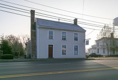 | Wherritt House | building | 1984 | 84001494 |
| Paul Wilson Place | building | 1985 | 85001307 |
Sampled issues, machine-read from the Library of Congress scan and published page by page, so every headline and column is searchable text.
Lancaster, Ky., 18?? to Current. Machine-read from the Library of Congress scan.
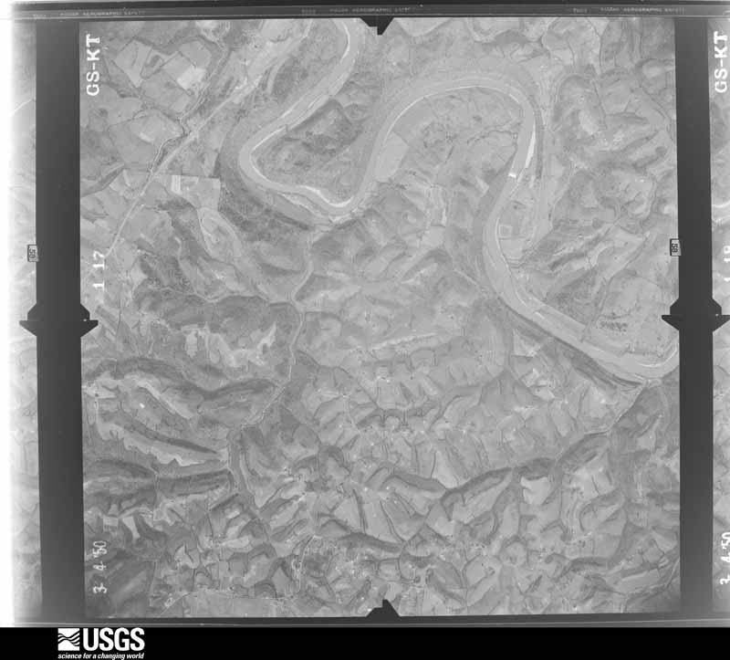
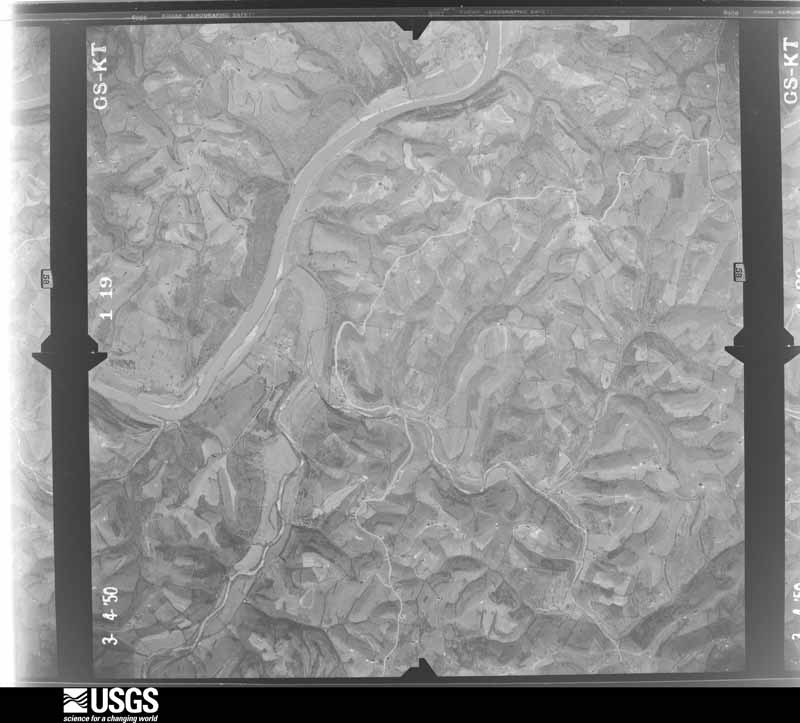
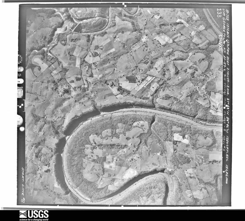
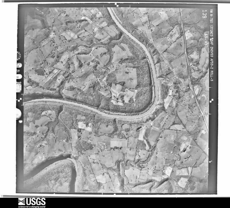
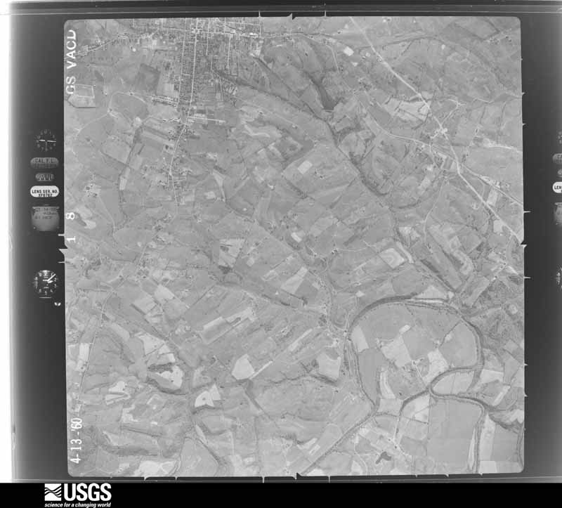
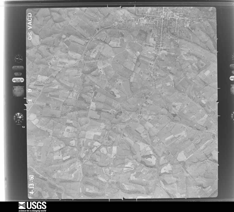
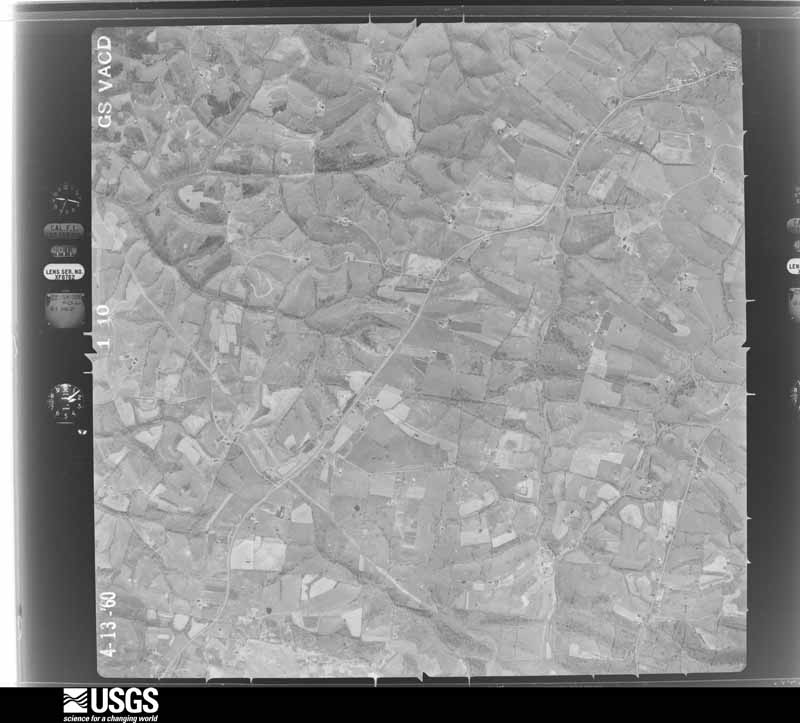
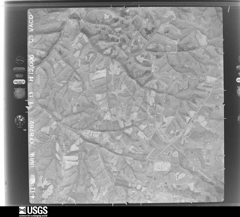
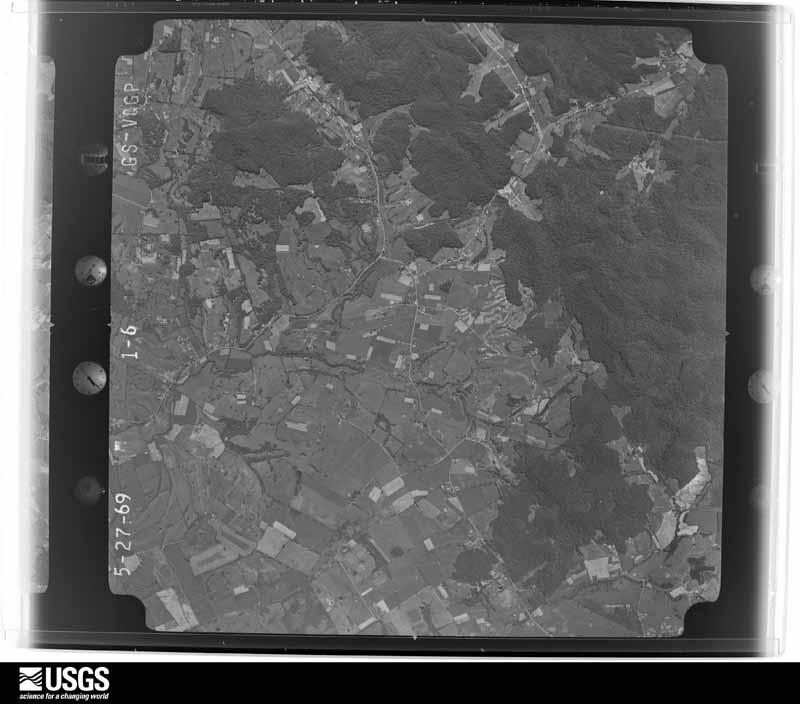
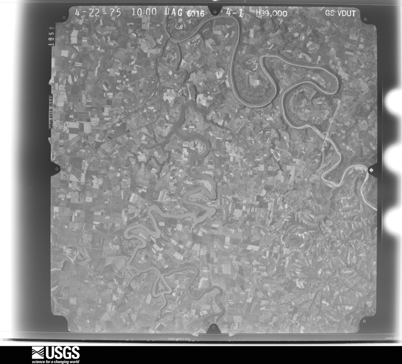
Flown by the U.S. Geological Survey between 1937 and 1989, the Aerial Photo Single Frames collection is the definitive mid-century view of the land: fields, roads and rivers as the camera saw them. The Survey holds 569 frames inside the rectangle that bounds this county; the 19 frames below were taken over the county itself, chosen across the decades of flights (at most four a year from that rectangle), so one flight cannot crowd out the rest. The full set is free to browse and download at EarthExplorer under the dataset Aerial Photo Single Frames.









The thermometers that kept this county's weather, and the gages that measured the flow of its streams, as the federal records hold them. The extremes below are measured values from those records, not estimates.
Who lived here in 1950, one enumeration district at a time, as the Census Bureau described each district. Each row opens its official National Archives result, with Population Schedules and ED Maps available there.
Every wildfire the federal occurrence database records inside this county: 55 of them, burning about 416 acres. None started naturally and 6 were recorded as arson. Each settlement page carries the fires within five miles of it.
| Reported cause | Fires |
|---|---|
| Missing data/not specified/undetermined | 27 |
| Debris and open burning | 14 |
| Recreation and ceremony | 8 |
| Arson/incendiarism | 6 |
The five largest, by the area the report gives. One of them was set deliberately.
| Date | Cause | Size | Reported by | Name on the report |
|---|---|---|---|---|
| 23 April 2001 | Missing data/not specified/undetermined | 100 acres | Kentucky Division of Forestry | not named |
| 31 March 2006 | Missing data/not specified/undetermined | 47 acres | Kentucky Division of Forestry | not named |
| 22 March 2011 | Recreation and ceremony | 45 acres | Kentucky Division of Forestry | HARMONS LICK |
| 21 March 2014 | Recreation and ceremony | 33 acres | Kentucky Division of Forestry | WILDLIFE LN |
| 31 March 1998 | Arson/incendiarism | 25 acres | Kentucky Division of Forestry | not named |
| 27 March 2003 | Missing data/not specified/undetermined | 15 acres | Kentucky Division of Forestry | not named |
| 2 November 2000 | Debris and open burning | 15 acres | Kentucky Division of Forestry | not named |
| 11 March 2003 | Missing data/not specified/undetermined | 15 acres | Kentucky Division of Forestry | not named |
Every settlement page carries the fires within five miles of it - see the settlement index below.
The NOAA Storm Events Database holds 172 reports for this county, causing no deaths, 4 injuries and about $2,502,000 in recorded property damage. Each settlement page carries the reports that name it.
| Kind of event | Reports |
|---|---|
| Thunderstorm Wind | 111 |
| Hail | 25 |
| Flash Flood | 19 |
| Tornado | 11 |
| Flood | 5 |
| Lightning | 1 |
The most serious of them, by death, then injury, then recorded damage. The accounts are quoted exactly as the forecast office filed them.
| When | Event | Place named | Harm | What the report says |
|---|---|---|---|---|
| July 1999 | Thunderstorm Wind | Buckeye | 3 hurt, $80,000 | A tied down house trailer was rolled about 100 feet into the middle of a road and was destroyed. The adult female and 2 children that were in the home at the time were treated for minor injuries. Also, damage occurred to several homes and barns. Trees were downed. The wind was strong enough to push large rolled bales of hay down a hill. |
| July 1987 | Thunderstorm Wind | not stated | 1 hurt | no account filed |
| July 1996 | Flash Flood | Western Half | $1,070,000 | no account filed |
| April 1993 | Thunderstorm Wind | not stated | $500,000 | Strong winds destroyed two mobile homes and downed many trees. One of the mobile homes had 14 tie downs, which were completely ripped out of the ground. |
| February 2008 | Thunderstorm Wind | Buena Vista | $300,000 | Straight line windes did heavy damage to three modular homes, one of the homes was uninhabitable. Two trailers and another home had minor damage. Several barns were damaged. Trees and power lines were downed. |
| November 2002 | Thunderstorm Wind | Buena Vista | $200,000 | Ten boats were overturned on Herrington Lake. Docks were overturned. There was roof damage to homes and garages. |
| February 2018 | Tornado (EF1) | Hackley | $50,000 | A small and brief EF1 tornado touched down near a ridge-top on Gillespie Pike east of Lancaster. The tornado first uprooted a tree, then came to a small shed, which it shifted off its foundation into a fence. The main property for that shed then had a loss of roof covering as well as impact from debris. Another outbuilding was overturned and slid about 10 feet. The tornado then crossed the street, where a brick veneer home lost part of its outer wall, as it was struck by debris, as well as some roof damage. A couple of columns on the porch fell. The adjoining garage lost its roof and doors were bent inward, falling onto the vehicles inside. A barn behind the house collapsed and another outbuilding completely lost its walls, but the contents were not disturbed. This is the point where the tornado lifted. |
| June 2017 | Thunderstorm Wind | Buena Vista | $50,000 | The Garrard County Emergency Manager reported numerous trees down across the northern part of the county. A large tree fell on a storage building and power lines on Chenault Lane near Herrington Lake. Downed power poles and lines were also blocking a county road in the area. |
| August 2009 | Thunderstorm Wind | Lancaster | $30,000 | A metal and wooden barn was destroyed along with several greenhouses. Trees and power lines were down near 1295 and Gillespie with damage to a house. |
| July 2016 | Thunderstorm Wind | Marksbury | $25,000 | Local media reported several trees and power lines down in Garrard County. |
| August 1983 | Tornado (F0) | not stated | $25,000 | no account filed |
| July 2019 | Flash Flood | Mc Creary | $20,000 | There were multiple reports of road closures and flash flooding in northern Garrard County, including parts of Sugar Creek Road and Buckeye Road. Two motorists were also stranded in flood waters and were subsequently rescued. |
| August 2013 | Flash Flood | Lancaster | $20,000 | Five hundred feet of Highway 1150 was washed away by flash flooding between mile markers 0 and 1. |
| May 2010 | Flash Flood | Lancaster | $20,000 | There were several houses with water in the basement. Bethel Christian Church had 6 feet of water inside. |
| April 2017 | Thunderstorm Wind | Bryantsville | $15,000 | The public reported shingles were torn off the roof of a house due to severe thunderstorm winds. |
| July 2012 | Thunderstorm Wind | Judson | $15,000 | A large oak tree fell across two cars. |
| June 2002 | Thunderstorm Wind | Bryantsville | $15,000 | A four foot diameter tree was blown on to a house, damaging the living room. Two other trees were blown over at the same location. |
| April 1996 | Tornado (F1) | Harmon'S Lick | $12,000 | no account filed |
| July 2018 | Flash Flood | Cartersville | $10,000 | A car became stuck in flood waters near the intersection of Highway 954 and Copper Creek Road. |
| February 2009 | Thunderstorm Wind | Barnett Spgs | $10,000 | A carport was destroyed along with roof damage to a home in Lancaster. Multiple power outages were reported across the county. |
| May 2007 | Flash Flood | Lancaster | $10,000 | A spotter estimated from two and a half to three inches of rain over a 30 minute period. Drakes Creek Road flooded and lost blacktop in two locations. Three people were trapped in a pickup truck. A metal outbuilding was washed away. |
| June 1999 | Thunderstorm Wind | Buena Vista | $10,000 | Roofs blown off buildings in far northern part of county |
| May 1993 | Thunderstorm Wind | not stated | $5,000 | Trees were blown down across the county. |
| July 2019 | Lightning | Davistown | $3,000 | Social media reported a lightning strike near Fisher Ford Road. The strike killed two cattle. |
| July 2013 | Thunderstorm Wind | Marcellus | $3,000 | Law enforcement reported damage to a gas station's canopy near the intersection of State Highways 34 and 27. |
| March 2017 | Thunderstorm Wind | Buena Vista | $2,000 | The Garrard County emergency manager reported that severe thunderstorm winds partially tore off a roof to a barn on Brenda Way. |
| August 2014 | Thunderstorm Wind | Lancaster | $2,000 | A spotter reported that thunderstorm winds partially removed the roof off of a barn. Many large tree limbs were downed as well. |
| May 2025 | Thunderstorm Wind | Lancaster | - | Trees were blown down across Sugar Creek Road near the intersection of Lexington Road. |
| May 2025 | Hail | Cartersville | - | Ping pong ball sized hail was reported observed near Cartersville. |
| May 2025 | Thunderstorm Wind | Hyattsville | - | A tree was blown down over Kirksville Road. |
| May 2025 | Thunderstorm Wind | Cartersville | - | A tree was blown down along Cartersville Road near the Madison County line. |
| May 2025 | Thunderstorm Wind | Hackley | - | A tree was blown down over the 100 block of Kelly Ridge Road. |
| May 2025 | Thunderstorm Wind | Lancaster | - | A tree was blown down across the 200 block of Lexington Road in Lancaster. |
| May 2025 | Thunderstorm Wind | Hammack | - | A tree was blown down onto power lines on the 2400 block of Wallacetown Road. |
| May 2025 | Thunderstorm Wind | Hyattsville | - | Trees were blown down across Crab Orchard Road near Gilberts Creek Baptist Church. |
| June 2025 | Thunderstorm Wind | Hyattsville | - | A tree was blown down across Gilberts Creek Road. |
| April 2025 | Tornado (EF1) | Harmons Lick | - | A storm damage team surveyed EF1 tornado damage with a max wind speed around 95 mph and a max width of 90 yards in Lincoln and Garrard Counties. The tornado touched down near the intersection of US Highway 27 South and KY Highway 698 in Lincoln County.||After crossing into Garrard County near Preachersville, several outbuildings on blocks were moved or destroyed, fence posts and barbed wire fences were ripped out and severely bent, and fencing was thrown in multiple directions across Highway 39. A single family home had a few shingles off, and the gutter was bent. There were several barn panels damaged, with metal sheeting ripped apart. The tornado weakened near the Fall Lick Road and Drakes Creek Road intersection where some large tree limbs were downed and some barns had minor damage. The tornado lifted just beyond this intersection. |
| December 2025 | Thunderstorm Wind | Lancaster | - | A tree was blown down near the intersection of Kentucky Route 52 and Boones Creek Road. |
| May 2024 | Thunderstorm Wind | Buena Vista | - | A National Weather Service damage survey determined that a swath of straight-line winds peaking at 80 to 85 mph occurred along a 12 mile path stretching from just west of Harrodsburg in Mercer County, to just east of Herrington Lake in Garrard County. After crossing Herrington Lake, the swath of damaging straight-line winds briefly moved across northern Garrard County. Sporadic tree and barn damage was observed along Kennedy Bridge Road and High Bridge road, consistent with winds of 75 to 85 mph. The damaging straight-line winds caused minor roofing and facade damage to two structures along Rogers Road, at which point the swath of wind damage was no longer detectable. |
| August 2024 | Thunderstorm Wind | Buckeye | - | There were trees down on Oscar Ray and Tommy Murphy Road. |
| August 2024 | Thunderstorm Wind | Hackley | - | Trees fell down on Gillespie Pike and Highway 1295. |
| January 2023 | Thunderstorm Wind | Stone | - | Trees were blown down across Poor Ridge Pike near Sad Lane. |
| June 2023 | Thunderstorm Wind | Bryantsville | - | There were trees down across the road in Bryantsville. |
| June 2023 | Thunderstorm Wind | Bryantsville | - | There was a tree down across the road. |
| July 2023 | Thunderstorm Wind | Bryantsville | - | A tree was blown down by strong winds near Bryantsville. |
| May 2022 | Thunderstorm Wind | Mc Creary | - | Trees were blown down in rural portions of northern Garrard County. |
| April 2022 | Thunderstorm Wind | Nina | - | A garage was destroyed on Nina Ridge Road. |
| July 2022 | Thunderstorm Wind | Pt Leavell | - | A large hackberry tree snapped about 5 feet above the ground. |
| July 2021 | Flash Flood | Lancaster | - | Water was over Crab Orchard Road. |
| October 2021 | Thunderstorm Wind | Mc Creary | - | Trees were reported down in Garrard County. |
| June 2021 | Thunderstorm Wind | Hyattsville | - | A tree fell down along 1295. |
| December 2021 | Tornado (EF1) | Marcellus | - | This tornado formed approximately 2 miles north of Clifton near Kings Ridge Road and tracked northeast for approximately 0.9 miles before exiting Boyle County and into |norther Garrard County. In Garrard County, the tornado continued across Herrington Lake where tree damage was observed along Fisher Ford Road. The tornado continued to produce roof and tree damage near Davistown just south southwest of Bryantsville before dissipating near Lexington Road. |
| December 2021 | Tornado (EF1) | Marksbury | - | This tornado formed approximately 2.9 miles east northeast of Danville Goodall Airport near Chrisman Lane and tracked northeast for approximately 5.2 miles before exiting Boyle County and into western Garrard County. In Garrard County, the Boone Creek area received damage to trees and roofs of manufactured homes. The tornado then dissipated between Lexington Road and Locust Lane. |
| December 2021 | Tornado (EF1) | Marksbury | - | A tornado formed about a half mile south of a previous tornado along a distinct line break seen on radar. The NWS drone found the tornado touched down just southwest of Bluegrass Diesel Performance auto body shop. The tornado did major roof damage to two barns, each about 30 by 40 feet, along with sporadic twisting and uprooting of a few trees. The tornado crossed US 27 and hit another barn just northwest of Locust Lane and lifted shortly after that, based on the NWS Louisville drone views.||This tornado was intermittent and was skipping with peak wind speeds of 90 mph, and had a width of 100 yards. |
| December 2021 | Thunderstorm Wind | Harmons Lick | - | Trees were reported down at Fall Lick Road and Drakes Creek Road. |
| December 2021 | Thunderstorm Wind | Lancaster | - | Trees were reported down on Wesley Drive. The area had three rounds of storms from 1 to 7 AM. It is estimated that the last wave of storms caused this damage. |
| July 2020 | Thunderstorm Wind | Lancaster | - | Dispatch reported trees down 2 miles north of Lancaster. |
| February 2019 | Flash Flood | Cartersville | - | A water rescue took place on Copper Creek Road. |
| February 2019 | Flood | Mc Creary | - | Pictures showed that roads in Garrard County were impassible due to standing water. |
| June 2019 | Thunderstorm Wind | Hyattsville | - | A tree was down in the 1100 block of Kirksville Road. |
The Survey's mineral resources record lists 3 workings inside this county. None of them still produces: all are closed or unrecorded. Each settlement page carries the workings within five miles of it.
| Commodity | Workings |
|---|---|
| Fluorine-Fluorite | 1 |
| Lead, Zinc | 1 |
| Barium-Barite | 1 |
| Stone, Crushed/Broken | 1 |
| Clay | 1 |
The least common of them first, because a county's hundredth gravel pit says nothing its first ten did not.
| Where | Site | Commodity | Status | Recorded |
|---|---|---|---|---|
| Camp Nelson Stone Mine | Stone, Crushed/Broken | Past Producer | ||
| Harmony Church Clay Bed | Clay | Prospect | ||
| John Burdette Deposit | Fluorine-Fluorite, Lead, Zinc, Barium-Barite | Occurrence |
One book written about this county, cut here where the book itself is cut, at its printed chapters: 9 chapters in all. Every chapter is public domain, machine-read from the scan and reproduced complete. A chapter already given under one of the county's towns is not repeated in this list.
| Chapter | Length |
|---|---|
| Chapter with an unread heading (no. 1 of those read) | 4,495 words |
| Chapter with an unread heading (no. 2 of those read) | 3,341 words |
| Chapter with an unread heading (no. 3 of those read) | 1,953 words |
| Chapter 7 | 2,294 words |
| Chapter 8 | 2,300 words |
| Chapter 9 | 3,347 words |
| Chapter 10 | 2,211 words |
| Chapter 11 | 7,350 words |
| Chapter 12 | 7,238 words |
Named settlements recorded in the Geographic Names Information System, each with the topographic sheets covering it. Villages, hamlets and abandoned places alike. Each is shown with the nearest named watercourse or landform and the survey quadrangle it falls on. The 1 place that was also surveyed for fire insurance comes first, with the number of atlases and photographs held for them.
Lancaster census division · 40444 · Lancaster quadrangle
12 sheets, 1905 to 1991
Fire insurance: 8 atlases
Bryantsville census division · 40444 · Near Mount Hebron Ridge · Buckeye quadrangle
10 sheets, 1905 to 1991
Bryantsville census division · 40444 · Near Mount Hebron Ridge · Bryantsville quadrangle
13 sheets, 1905 to 1991
Lancaster census division · 40444 · On Montgomery Branch · Buckeye quadrangle
10 sheets, 1905 to 1991
Bryantsville census division · 40444 · On White Oak Creek · Little Hickman quadrangle
15 sheets, 1905 to 1991
No longer a settlement
Paint Lick census division · 40461 · Near High Knob · Paint Lick quadrangle
14 sheets, 1892 to 1991
Bryantsville census division · 40444 · On White Oak Creek · Little Hickman quadrangle
15 sheets, 1905 to 1991
No longer a settlement
Lancaster census division · 40444 · Buckeye quadrangle
10 sheets, 1905 to 1991
No longer a settlement
Paint Lick census division · 40444 · On Devours Mill Branch · Kirksville quadrangle
15 sheets, 1892 to 1991
Paint Lick census division · 40461 · Near Graveyard Hill · Paint Lick quadrangle
14 sheets, 1892 to 1991
No longer a settlement
Bryantsville census division · 40444 · Wilmore quadrangle
12 sheets, 1905 to 1991
No longer a settlement
Lancaster census division · 40444 · On Jack Turner Branch · Buckeye quadrangle
10 sheets, 1905 to 1991
Paint Lick census division · 40461 · On Henderson Branch · Paint Lick quadrangle
14 sheets, 1892 to 1991
Paint Lick census division · 40461 · On Walker Branch · Paint Lick quadrangle
14 sheets, 1892 to 1991
Bryantsville census division · 40444 · Near Burdette Knob · Bryantsville quadrangle
13 sheets, 1905 to 1991
Bryantsville census division · 40444 · On Mount Hebron Ridge · Buckeye quadrangle
10 sheets, 1905 to 1991
No longer a settlement
Paint Lick census division · Near Graveyard Hill · Paint Lick quadrangle
14 sheets, 1892 to 1991
No longer a settlement
Lancaster census division · 40444 · On Nina Ridge · Kirksville quadrangle
15 sheets, 1892 to 1991
Paint Lick census division · 40461 · On Lowell Branch · Paint Lick quadrangle
14 sheets, 1892 to 1991
Paint Lick census division · 40444 · On East Fork Back Creek · Paint Lick quadrangle
14 sheets, 1892 to 1991
Lancaster census division · 40444 · On Scotch Fork · Buckeye quadrangle
10 sheets, 1905 to 1991
Lancaster census division · 40444 · On West Fork Sugar Creek · Buckeye quadrangle
10 sheets, 1905 to 1991
Bryantsville census division · 40444 · Near Mount Hebron Ridge · Bryantsville quadrangle
13 sheets, 1905 to 1991
Bryantsville census division · 40444 · Near Mount Hebron Ridge · Bryantsville quadrangle
13 sheets, 1905 to 1991
The vanished settlements of Garrard County: the places named above that are no longer on the map.
12 topographic sheets and 8 fire insurance atlases, 1886 to 1939