 Block
From the record
8 National Register listings published here.
Sources: the National Register database, National Park Service
63 topographic sheets and 5 fire insurance atlases across 1 place.
8 National Register listings published here.
Sources: the National Register database, National Park Service
Taken for the Office of War Information and the Farm Security Administration, who photographed the country between 1935 and 1944. Works of United States government photographers, with no known restriction on use. Each opens its catalogue record.
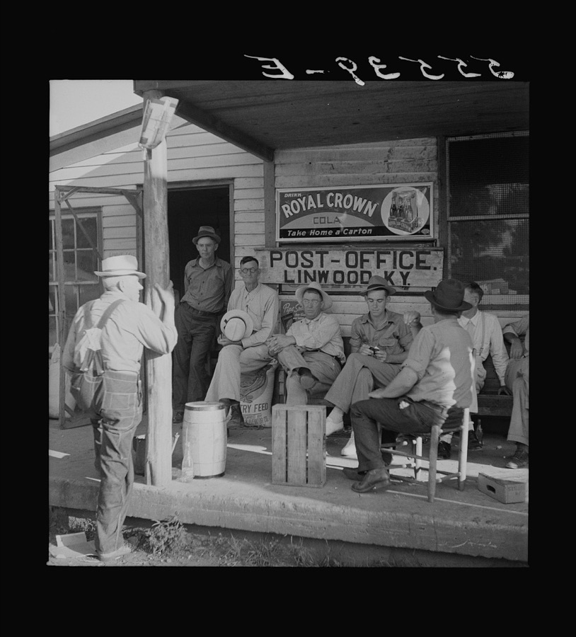
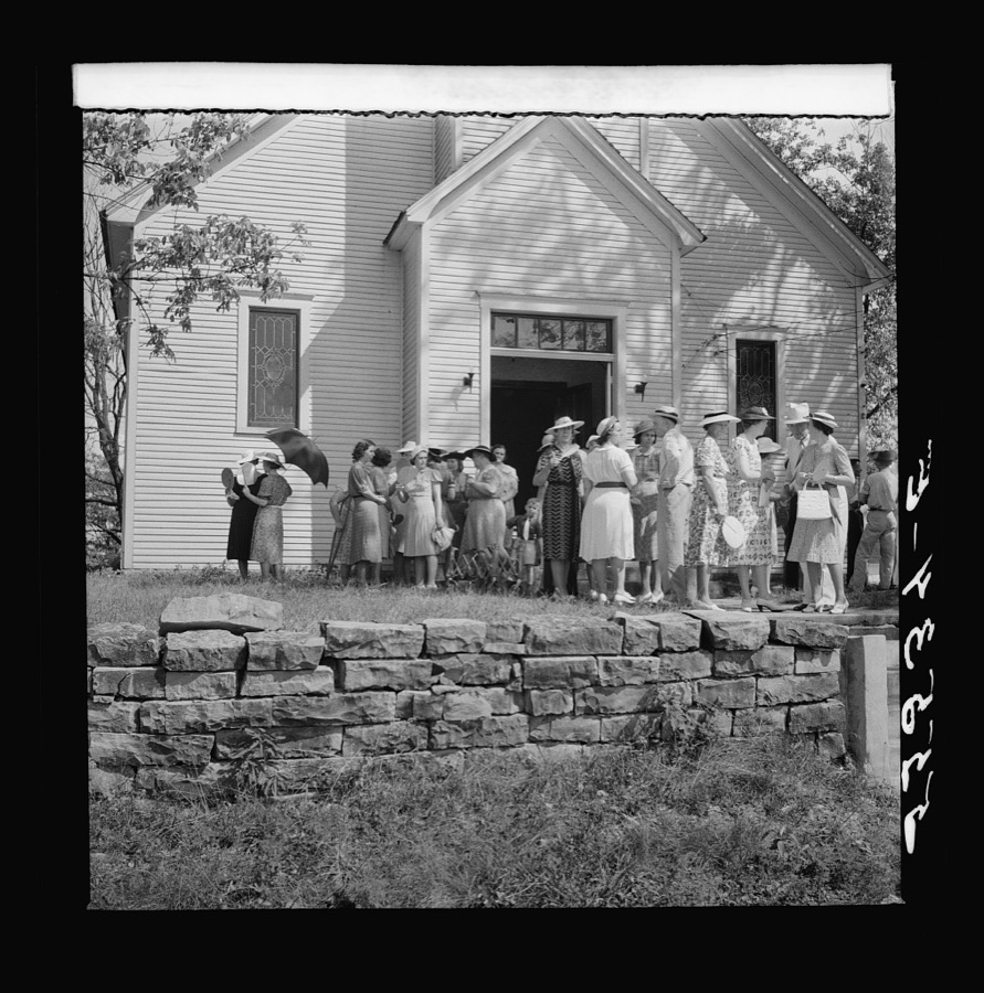
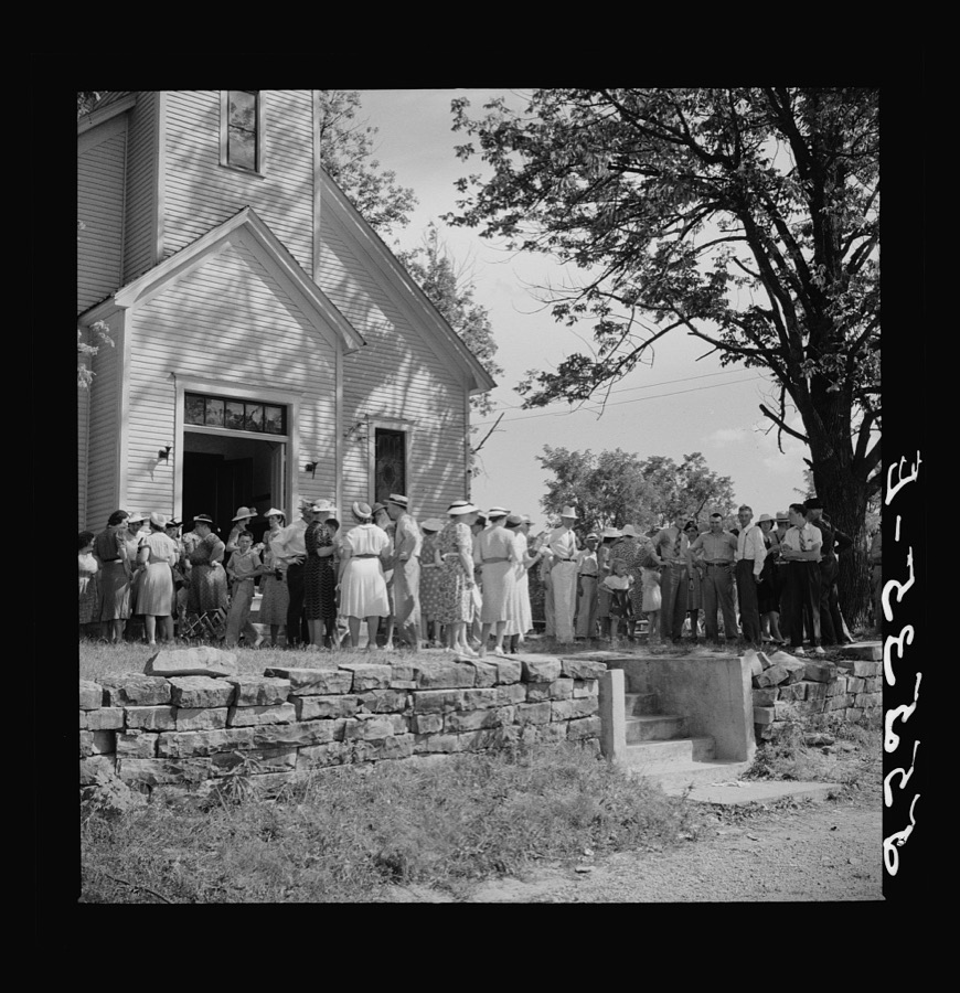
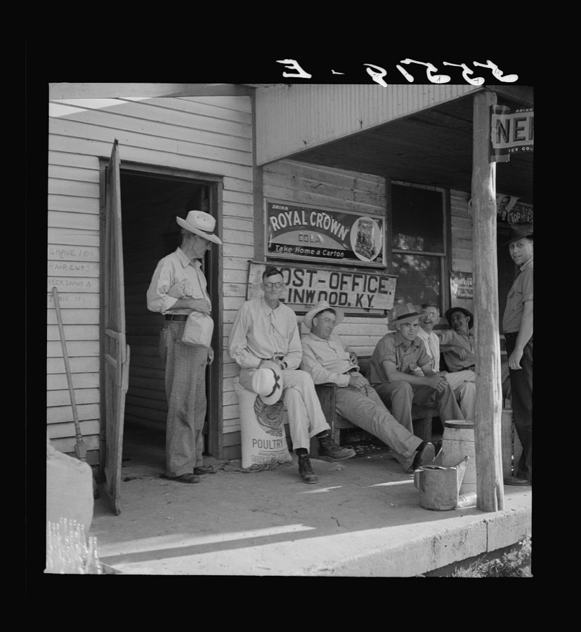
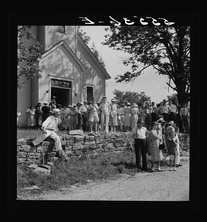
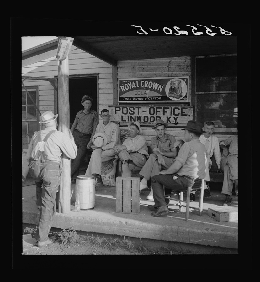
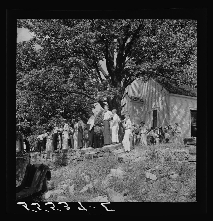
Every property in this county listed on the National Register of Historic Places, with the year it was listed and the federal nomination document.
| Photograph | Property | Type | Listed | Reference |
|---|---|---|---|---|
 | Cedars, The | building | 1976 | 76000889 |
| Court Square Historic District | district | 1984 | 84000288 | |
| Court Square Historic District (Boundary Increase) | district | 1988 | 87001917 | |
| Grayson Springs | site | 1978 | 78001334 | |
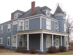 | Hunter House | building | 1985 | 85001055 |
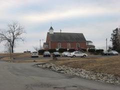 | St. Augustine Catholic Church | building | 1989 | 89000259 |
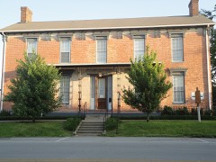 | Jack Thomas House | building | 1976 | 76000890 |
| Walnut Grove School | building | 1988 | 87002516 |
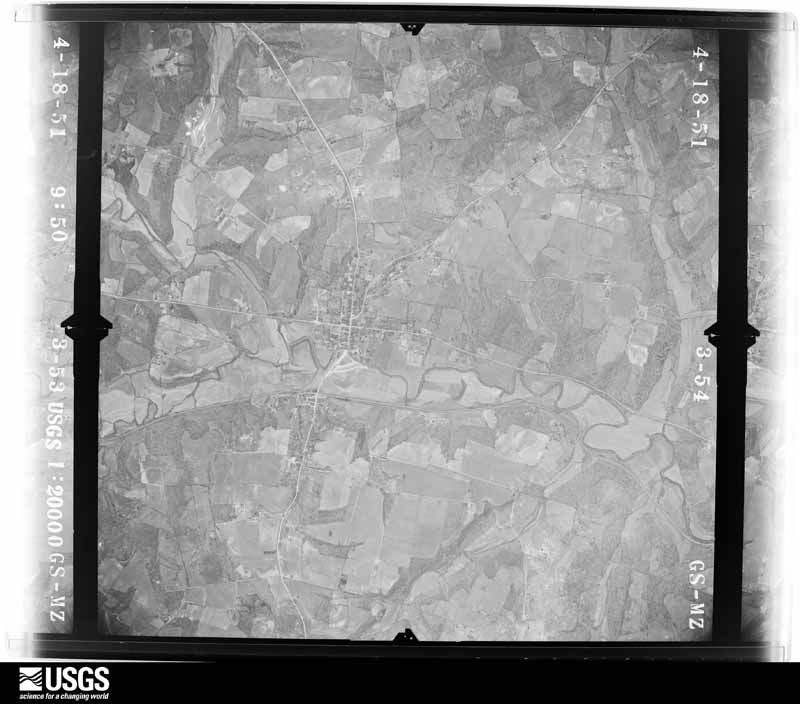
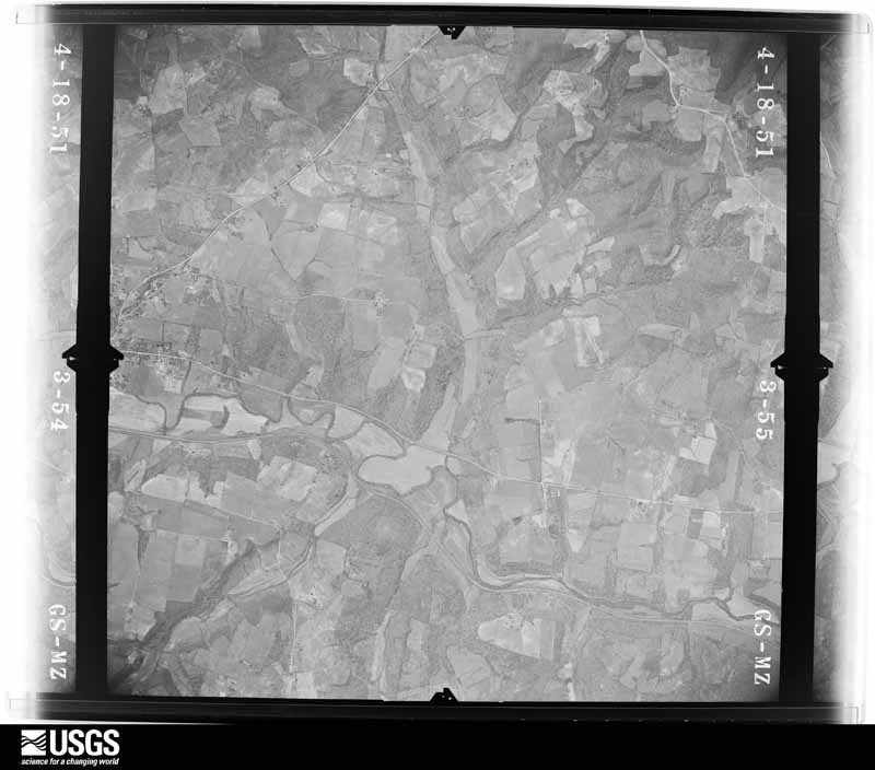
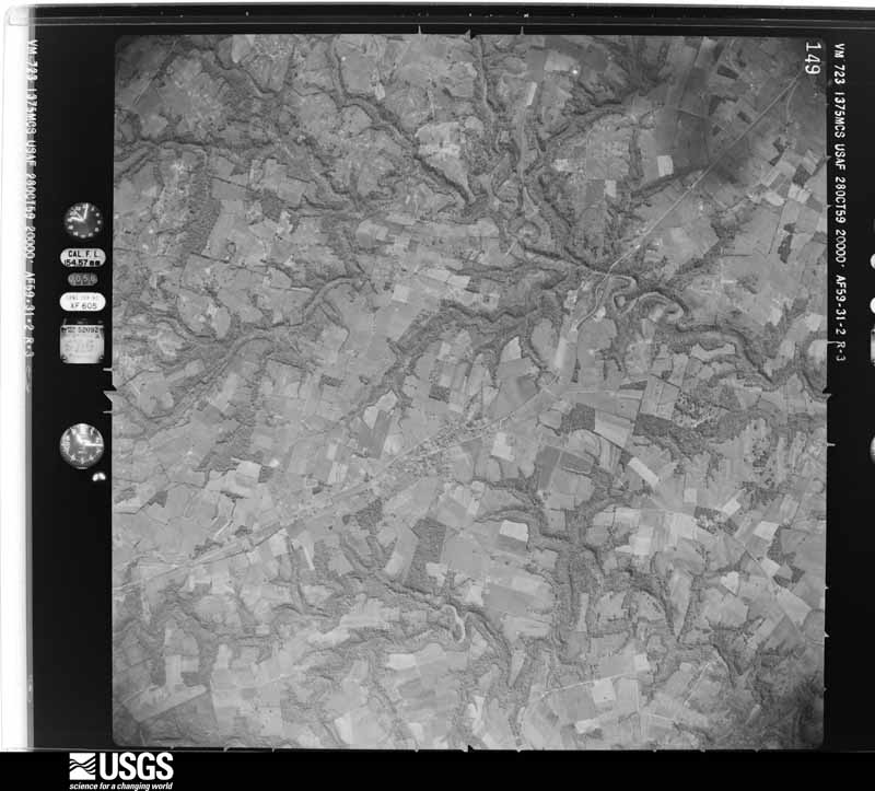
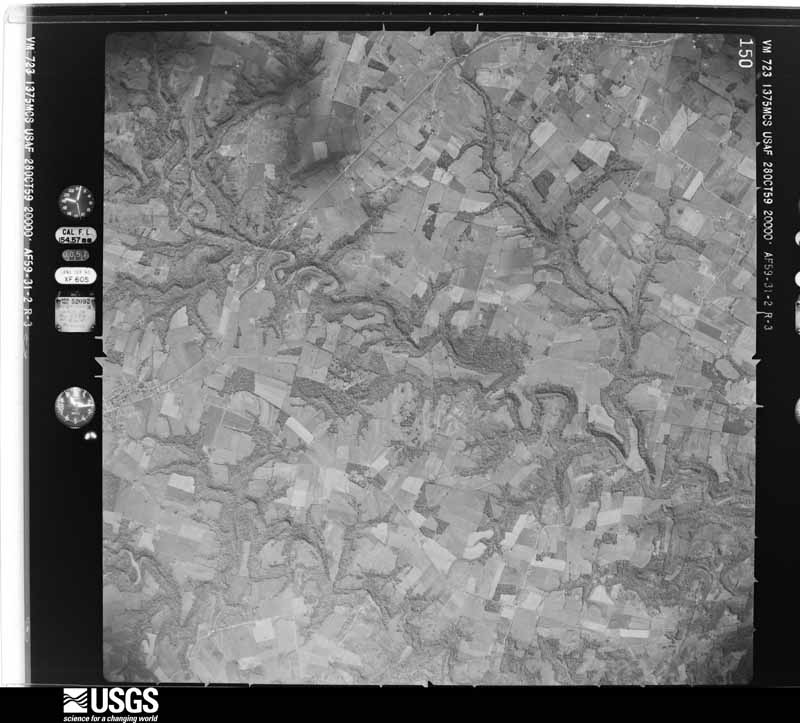
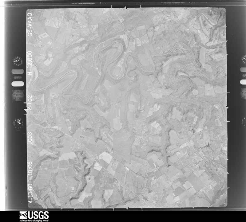
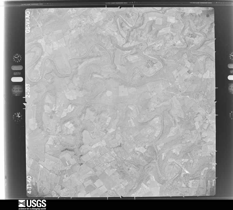
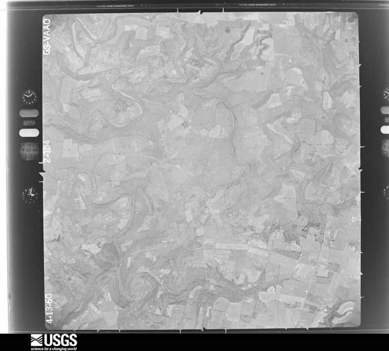
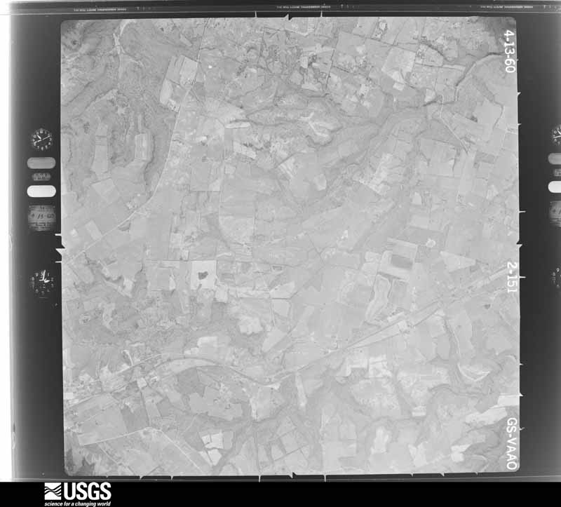
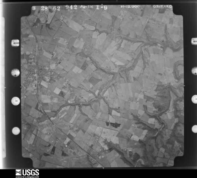
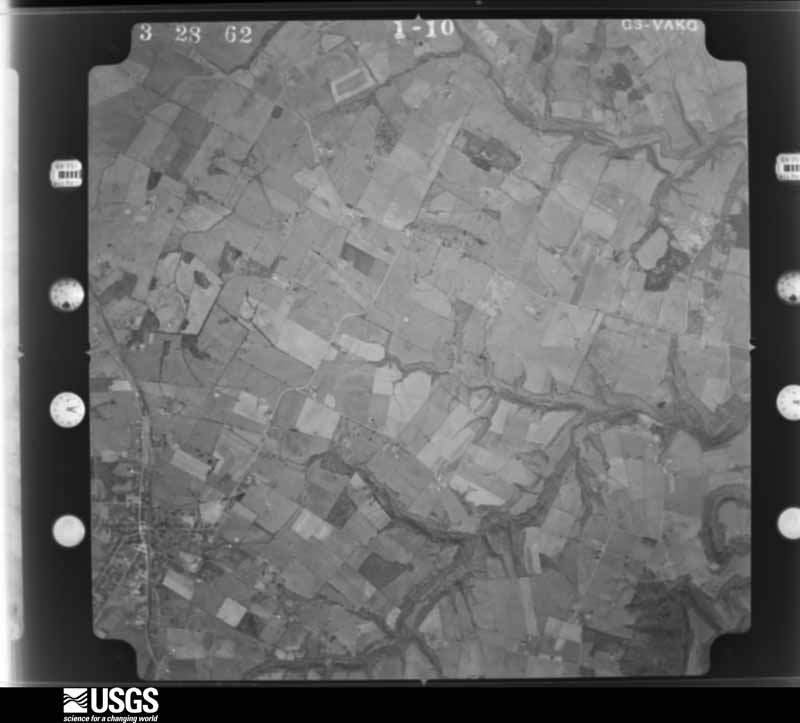
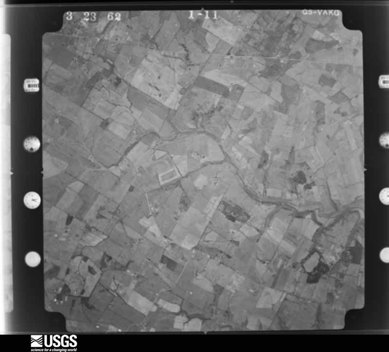
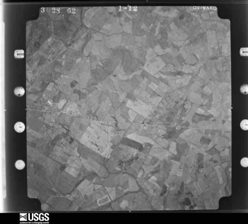
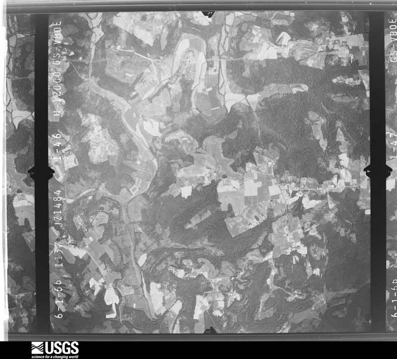
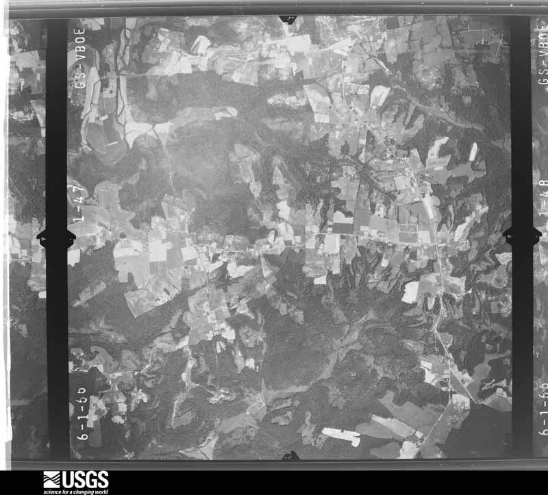
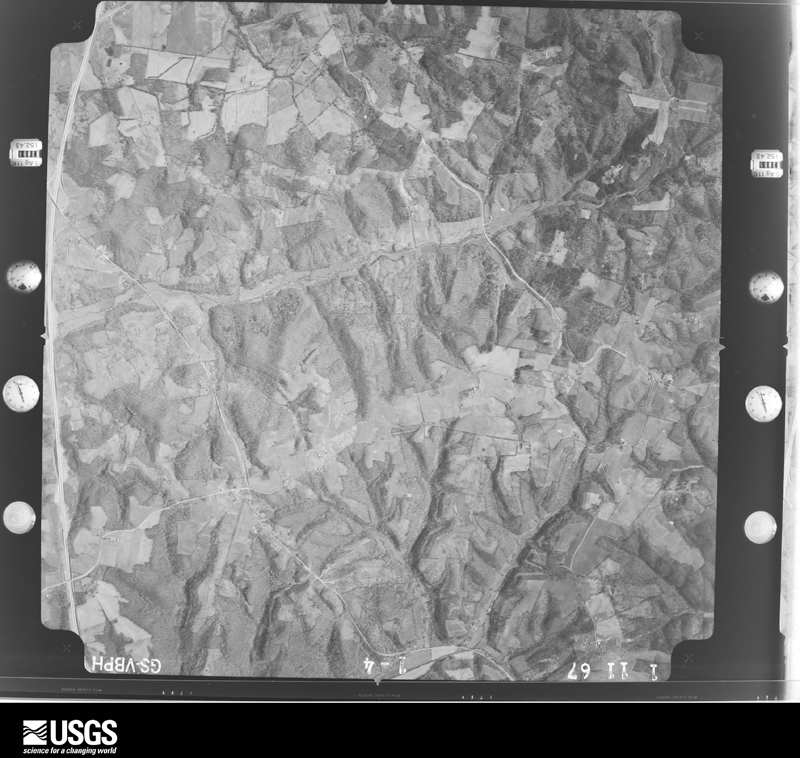
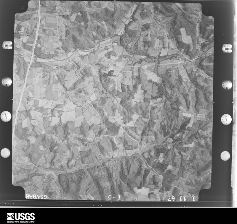
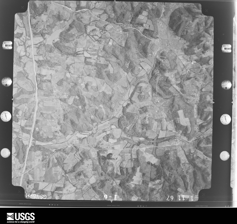
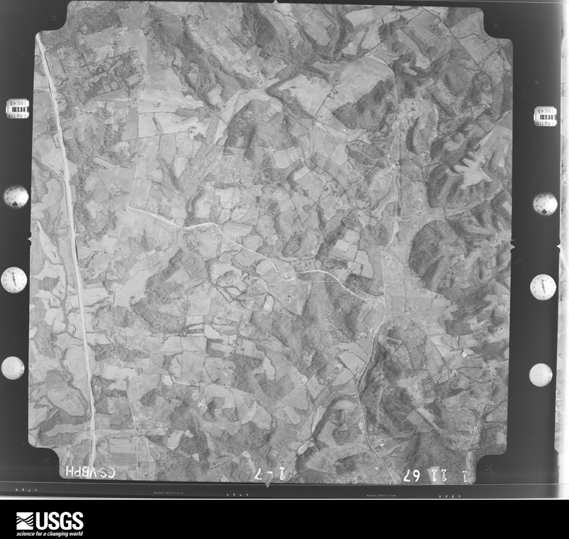
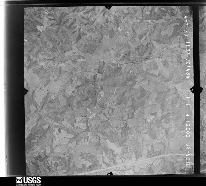
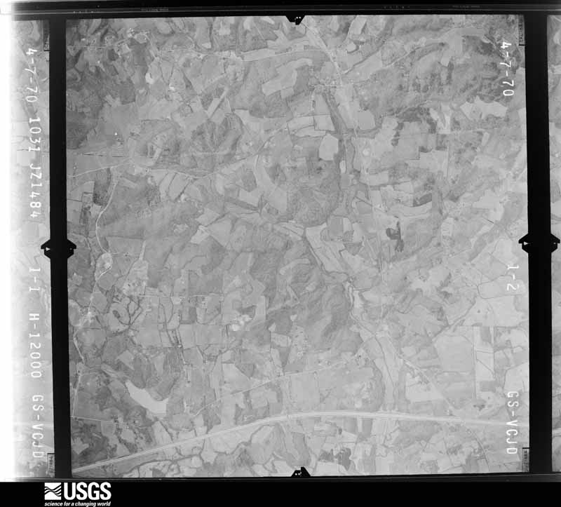
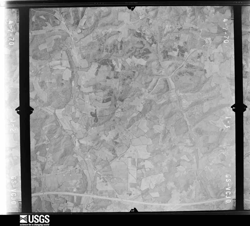
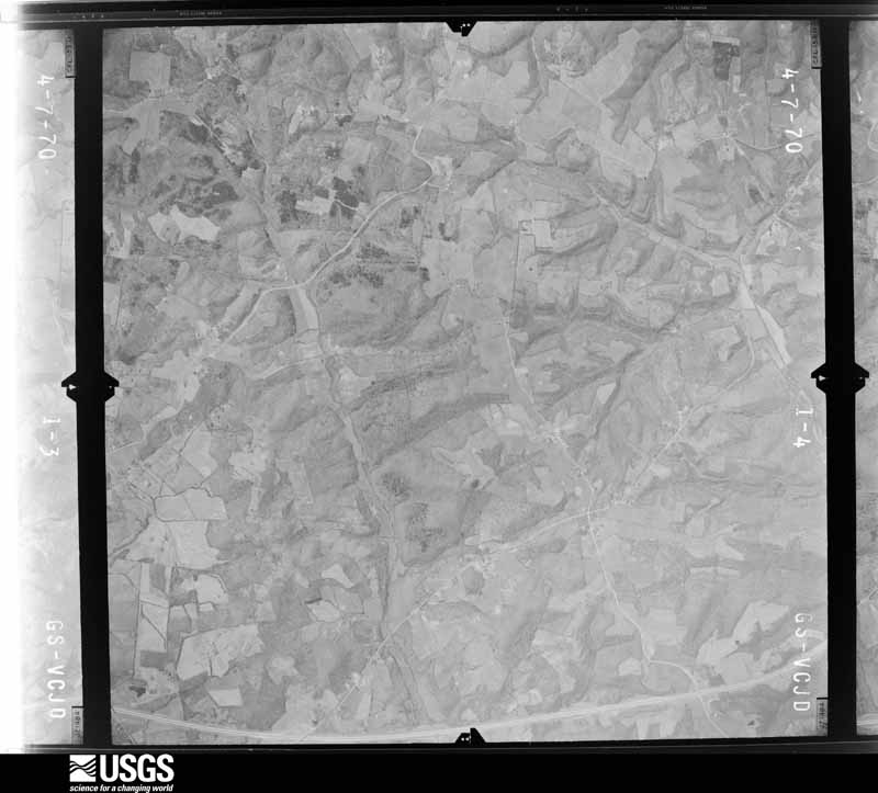
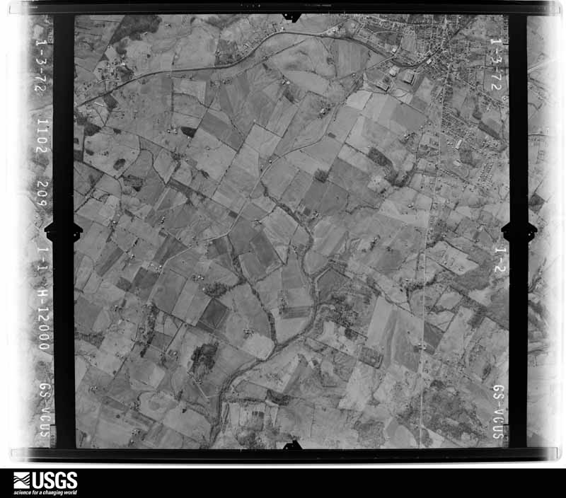
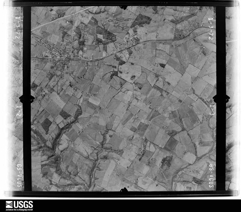
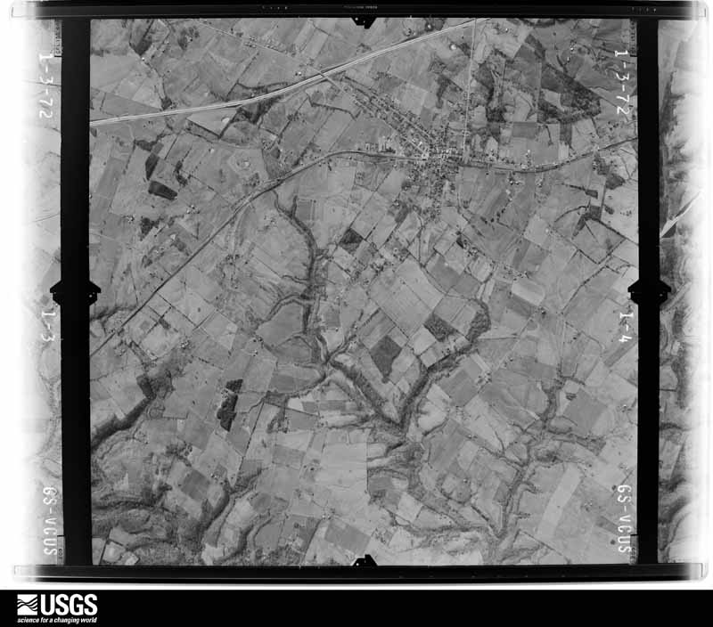
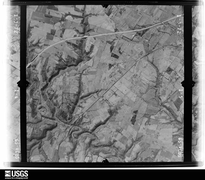
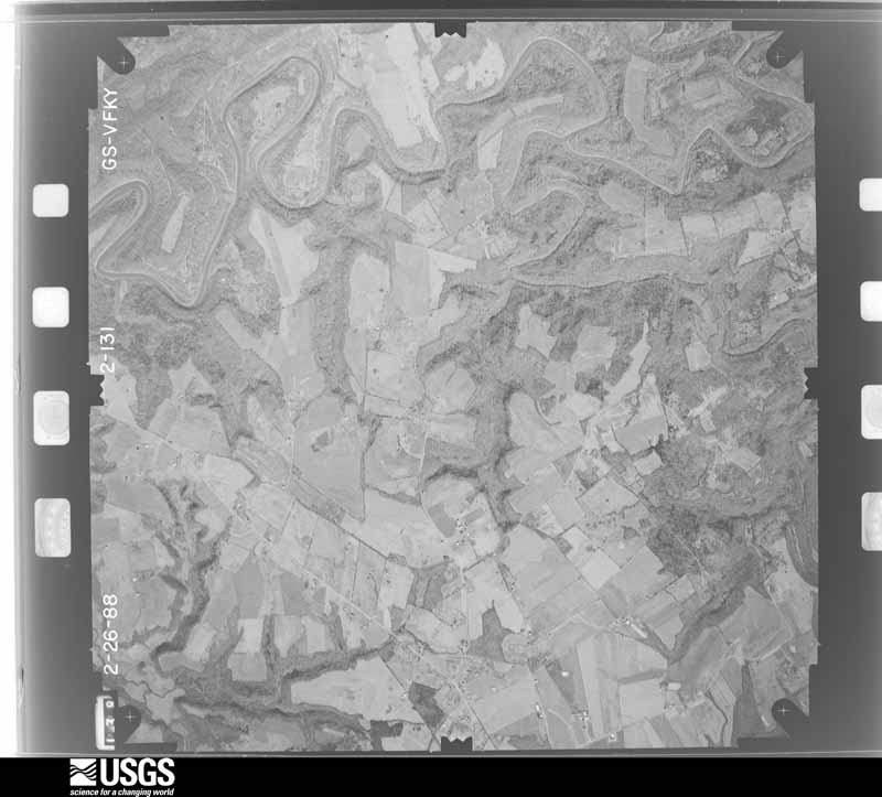
Flown by the U.S. Geological Survey between 1937 and 1989, the Aerial Photo Single Frames collection is the definitive mid-century view of the land: fields, roads and rivers as the camera saw them. The Survey holds 971 frames inside the rectangle that bounds this county; the 36 frames below were taken over the county itself, chosen across the decades of flights (at most four a year from that rectangle), so one flight cannot crowd out the rest. The full set is free to browse and download at EarthExplorer under the dataset Aerial Photo Single Frames.









The thermometers that kept this county's weather, and the gages that measured the flow of its streams, as the federal records hold them. The extremes below are measured values from those records, not estimates.
Who lived here in 1950, one enumeration district at a time, as the Census Bureau described each district. Each row opens its official National Archives result, with Population Schedules and ED Maps available there.
Every wildfire the federal occurrence database records inside this county: 111 of them, burning about 1,472 acres. None started naturally and 5 were recorded as arson. Each settlement page carries the fires within five miles of it.
| Reported cause | Fires |
|---|---|
| Missing data/not specified/undetermined | 37 |
| Debris and open burning | 28 |
| Recreation and ceremony | 24 |
| Railroad operations and maintenance | 12 |
| Arson/incendiarism | 5 |
| Equipment and vehicle use | 4 |
| Smoking | 1 |
The five largest, by the area the report gives. None of them was recorded as arson.
| Date | Cause | Size | Reported by | Name on the report |
|---|---|---|---|---|
| 11 March 2001 | Debris and open burning | 182 acres | Kentucky Division of Forestry | not named |
| 10 April 2011 | Missing data/not specified/undetermined | 170 acres | Kentucky Division of Forestry | BUZZARD RIDGE FIRE |
| 4 March 2006 | Missing data/not specified/undetermined | 94 acres | Kentucky Division of Forestry | not named |
| 22 October 2010 | Railroad operations and maintenance | 80 acres | Kentucky Division of Forestry | BEECH GROVE FIRE |
| 18 February 2002 | Recreation and ceremony | 77 acres | Kentucky Division of Forestry | not named |
| 11 March 2001 | Equipment and vehicle use | 50 acres | Kentucky Division of Forestry | not named |
| 4 April 1997 | Debris and open burning | 50 acres | Kentucky Division of Forestry | not named |
| 8 January 2006 | Missing data/not specified/undetermined | 50 acres | Kentucky Division of Forestry | not named |
Every settlement page carries the fires within five miles of it - see the settlement index below.
The NOAA Storm Events Database holds 311 reports for this county, causing 3 deaths, 26 injuries and about $56,698,250 in recorded property damage. Each settlement page carries the reports that name it.
| Kind of event | Reports |
|---|---|
| Thunderstorm Wind | 157 |
| Hail | 84 |
| Flash Flood | 36 |
| Tornado | 20 |
| Flood | 7 |
| Heavy Rain | 5 |
| Lightning | 2 |
The most serious of them, by death, then injury, then recorded damage. The accounts are quoted exactly as the forecast office filed them.
| When | Event | Place named | Harm | What the report says |
|---|---|---|---|---|
| January 1959 | Tornado (F3) | not stated | 3 killed, $250,000 | no account filed |
| May 2000 | Tornado (F3) | Leitchfield | 16 hurt, $50,000,000 | A storm survey was done by NWS personnel on Wednesday May 24. The survey found severe damage to residential and industrial structures. Three vortices combined into a single tornado north of Leitchfield, then moved east to southeast at 40 to 45 mph. The path moved through the northeast and east sections of Leitchfield and beyond. (Path length and width are estimated). The structural damaged evidenced the presence of an F3 tornado, with maximum winds around 175 mph. Houses that were virtually destroyed, but still had parts of their structure remaining above the main floor, were the basis of the F3 evaluation. Severe damage to nearby factories also supported the F3 evaluation. |
| April 1972 | Tornado (F3) | not stated | 4 hurt, $250,000 | no account filed |
| April 1974 | Tornado (F4) | not stated | 2 hurt, $250 | no account filed |
| June 2016 | Lightning | Grayson | 2 hurt | Two emergency medical services workers were injured by a lightning strike while loading a vehicle accident victim on the Western Kentucky Parkway. The two EMS workers were taken to the local hospital and released within a few hours. |
| February 2012 | Tornado (EF2) | West Clifty | 1 hurt, $50,000 | The tornado began as a narrow tornado east of Clarkson just south of Highway 224. The storm increased in width to 200 yards and struck several single and double wide mobile homes south of Millerstown Road. All three mobile homes became airborne, with one traveling over 400 yards. One manufactured home, with a man inside, was thrown 50 feet into a tree and fence. The victim was medically airlifted to Louisville. The tornado next struck a large area of softwood and hardwood trees before striking a solid brick home just west of Horntown with the roof removed and exterior walls either damaged or destroyed. The tornado damaged the Horntown convenience store damaging the roof. During the end of the tornado's life cycle it narrowed and bounced striking several trees and knocking over several cemetery headstones, plus it uprooted 2 large trees at the Little Clifty United Methodist Church just west of Lacon. The tornado lifted in a grove of trees about 250 yards east of the church. |
| March 2012 | Hail | Caneyville | 1 hurt | no account filed |
| March 1989 | Tornado (F2) | not stated | $2,500,000 | no account filed |
| May 1961 | Tornado (F3) | not stated | $2,500,000 | no account filed |
| April 2018 | Tornado (EF1) | Lilac | $300,000 | The tornado touched down near several large metal outbuildings destroying two and heavily damaging two others. Insulation from the largest building was spattered on to south and east facing walls and vehicles on the east side of the complex. Metal roofing material was lofted into nearby trees and spread up to a quarter of a mile to the east. Beyond this initial touchdown area, only minor roof damage and tree damage - both uprooted trees and snapped trunks- occurred before the tornado lifted 1/2 mile to the east on Childress Road. |
| February 2018 | Flood | Caneyville | $250,000 | The public reported Caney Creek was out of its bank. In addition there were several reports of road washouts, slippage, erosion, and broken pavement due to flooded roads and high water. |
| May 2004 | Thunderstorm Wind | Leitchfield | $100,000 | Two trailers on Caney Creek Church Road were rolled over by thunderstorm winds. |
| April 2018 | Thunderstorm Wind | Lilac | $75,000 | Downburst winds gusted to as high as 85 mph in a one-half mile by one-half mile swath of winds centered on Kentucky Highway 259 4.2 miles north of Leitchfield, KY. The winds destroyed a small barn, peeled metal roof panels from two other buildings, and overturned an RV. The winds also uprooted and snapped the trunks of several trees, and debris blowing into power lines helped snap four utility poles. |
| April 2018 | Thunderstorm Wind | Skaggstown | $75,000 | Amateur radio reported that a double wind trailer was blown across the road on Rock Creek Road. |
| June 2015 | Thunderstorm Wind | Leitchfield | $50,000 | A broadcast meteorologist relayed a report of structural damage to a building because of severe thunderstorm winds. This resulted in several vehicles damaged. |
| May 1993 | Thunderstorm Wind | Leitchfield | $50,000 | Several large trees and power lines were blown down. |
| June 2020 | Flash Flood | Church | $30,000 | There were multiple reports of flooding across the entire county. A vehicle stalled in a flooded roadway in Leitchfield, and the Western Kentucky Parkway had reports of flooding. |
| April 2002 | Thunderstorm Wind | Anneta | $30,000 | A roof was blown off a house. |
| April 1995 | Hail | Leitchfield | $30,000 | no account filed |
| April 2018 | Thunderstorm Wind | Lilac | $25,000 | Amateur radio operators reported that a barn was leveled and multiple trees were down in the 3500 block of Lilac Road. |
| May 2004 | Thunderstorm Wind | Leitchfield | $20,000 | Trees were downed by thunderstorm winds. One was blown on to an occupied trailer. No injuries occurred. |
| June 2020 | Flash Flood | Church | $15,000 | The fire department assisted a couple and their dog by boat at a location off Sadler Road. Water was approximately 2 feet above the foundation when they arrived. |
| February 2012 | Lightning | Leitchfield | $15,000 | Local media reported that lightning struck a home and started a fire near Leitchfield. The fire department was on the scene at the time of the report. |
| November 2019 | Flash Flood | Peth | $10,000 | There was a water rescue reported on Pleasant View Road near South Fork Caney Creek. The start time of flash flooding is unclear. |
| January 2013 | Thunderstorm Wind | Caneyville | $10,000 | Law enforcement reported that a small detached garage blew onto a road. |
| May 2012 | Thunderstorm Wind | Leitchfield | $10,000 | Local law enforcement reported several trees down near Leitchfield. In addition, they reported several windows shattered. Other unofficial reports from the public mentioned damage to yard furniture, gutters, and playground equipment. |
| December 2007 | Flood | Neafus | $10,000 | A county road was washed out by flood waters. |
| July 1995 | Thunderstorm Wind | Countywide | $10,000 | Numerous trees and power lines were blown down across the county. |
| January 1999 | Thunderstorm Wind | Leitchfield | $8,000 | Mobile homes damaged |
| June 2011 | Flash Flood | Ready | $5,000 | Law enforcement reported that several roads were washed out due to flooding south of Caneyville. One vehicle was later recovered from the water. |
| May 2010 | Thunderstorm Wind | Leitchfield | $5,000 | A large metal building was blown half a mile. |
| May 2004 | Thunderstorm Wind | Leitchfield | $5,000 | Trees were downed. One was blown on to an occupied mobile home, however there were no injuries. |
| January 2002 | Thunderstorm Wind | Tar Hill | $5,000 | Winds ripped the roof off a self serve car wash. Trees and power lines were also downed. |
| April 2007 | Thunderstorm Wind | Leitchfield | $2,000 | A store sign was blown on to a car. Trees were downed and blocking roadways. |
| May 1996 | Thunderstorm Wind | Countywide | $2,000 | no account filed |
| February 1993 | Hail | not stated | $500 | no account filed |
| April 1993 | Hail | Cannyville | $500 | no account filed |
| March 2026 | Tornado (EF1) | Eveleigh | - | The tornado uprooted trees as it moved along Rough River Lake. |
| March 2026 | Tornado (EF0) | Eveleigh | - | The tornado continued to do tree damage before it crossed near the triple point of Grayson, Breckinridge, and Hardin counties and into Hardin County. |
| March 2026 | Thunderstorm Wind | Leitchfield | - | Multiple trees were blown down in Leitchfield, and about 1400 customers were without power as a result of thunderstorms. |
| March 2026 | Tornado (EF0) | Post | - | The first report of the tornado came from Caneyville Fire Department of a tornado touchdown observed north of Caneyville. Damage was observed from high resolution satellite data north of Caneyville with tree damage near Highway 79 to near Choncie Lee Road. The tornado continued along Hopewell Road in Grayson County near the Caneyville and Millwood areas. Several farm outbuildings had the roof peeled off, with one farm having wood planks from the barn damage thrusted into the nearby residence. The residence also had shingle damage. Max winds of 100 mph were estimated in this location.||The tornado continued to the northeast across Jones Hill and highway 54 to Stones Chapel Road. Several farm outbuildings and tree damage was observed, including roof material lofted into nearby trees. The tornado continued across Clifty Church Drive |where a farm had damage to several outbuildings where rooftops were destroyed. At this location, 3 head of cattle were fatally injured resulting in roughly $7K in damages. Debris from the farm was lofted into the treeline about a tenth of a mile from the |property. ||The tornado continued to the northeast toward Lilac where several farm outbuildings on a hill top were completely destroyed. Wood planks were driven into the ground in several directions and debris was lofted over the nearby hill. Significant tree damage |was observed here as well. Max estimated wind speeds of 110 mph were observed here.||The tornado continued to the northeast toward Brandenburg Road where trees were uprooted. The tornado crossed Rough River Lake several times, causing some structural and tree damage into Breckinridge County. |
| March 2026 | Tornado (EF0) | Eveleigh | - | As the tornado continued along Rough River Lake, a few branches were broken. |
| April 2025 | Flash Flood | Black Rock | - | Fourteen roads were closed due to flowing water around the county. |
| May 2025 | Thunderstorm Wind | Caneyville | - | A tree was blown down in Caneyville. |
| May 2025 | Thunderstorm Wind | Meredith | - | A tree was blown down at the intersection of Decker Road and Peonia Road. |
| May 2025 | Hail | Leitchfield | - | Nickel to quarter sized hail was observed on the west side of Leitchfield. |
| May 2025 | Hail | Leitchfield | - | Ample amounts of quarter sized hail fell in Leitchfield. |
| May 2025 | Thunderstorm Wind | Anneta | - | A tree was blown down across Anneta Road. |
| May 2025 | Hail | South | - | Ping pong ball sized hail was observed in southwest Grayson County along Shrewsbury Road near Pine Ridge Drive. |
| May 2025 | Hail | Shrewsbury | - | Quarter sized hail was reported south of Shrewsbury. |
| May 2025 | Hail | Anneta | - | Quarter sized hail was reported near Anneta. |
| April 2025 | Thunderstorm Wind | Tar Hill | - | A tree fell down over the 6300 block of Salt River Road. |
| June 2025 | Thunderstorm Wind | Broad Ford | - | A tree was blown down near the intersection of Wax Road and Nina Lane. |
| June 2025 | Thunderstorm Wind | Royal | - | A concentrated area of damage was located off of Wheeler Road, where a metal building was destroyed an multiple trees were downed by strong thunderstorm winds. |
| April 2025 | Thunderstorm Wind | Church | - | There were multiple trees down over the 3300 block of Sadler Road. |
| April 2025 | Flash Flood | Grayson | - | The 100 block of Carlos Lane was completely washed out and impassable. |
| April 2025 | Flash Flood | Huffman | - | The 900 block of Huffman Road was completely washed out and impassable. |
| April 2025 | Flash Flood | Caneyville | - | A woman was rescued from her home on the 100 block of Blue Creek Drive. |
| April 2025 | Flash Flood | Caneyville | - | Water was flowing over the 100 block of Main Street. |
| February 2024 | Thunderstorm Wind | Anneta | - | A tree fell down on Bear Creek Road. |
The Survey's mineral resources record lists 2 workings inside this county. 1 still produces and 1 is closed or unrecorded. Each settlement page carries the workings within five miles of it.
| Commodity | Workings |
|---|---|
| Clay | 1 |
| Stone, Crushed/Broken | 1 |
The least common of them first, because a county's hundredth gravel pit says nothing its first ten did not.
| Where | Site | Commodity | Status | Recorded |
|---|---|---|---|---|
| Buck Creek Clay | Clay | Prospect | ||
| Ragland Mine & Mill | Stone, Crushed/Broken | Producer |
Named settlements recorded in the Geographic Names Information System, each with the topographic sheets covering it. Villages, hamlets and abandoned places alike. Each is shown with the nearest named watercourse or landform and the survey quadrangle it falls on. The 1 place that was also surveyed for fire insurance comes first, with the number of atlases and photographs held for them.
Leitchfield census division · 42754 · Leitchfield quadrangle
13 sheets, 1922 to 1981
Fire insurance: 5 atlases
Clarkson census division · 42712 · Near Owen Hollow · Big Clifty quadrangle
18 sheets, 1932 to 1991
Millerstown census division · 42726 · On Slab Camp Creek · Millerstown quadrangle
14 sheets, 1925 to 1981
Caneyville census division · 42721 · On South Fork Caney Creek · Caneyville quadrangle
12 sheets, 1922 to 1981
Short Creek census division · 40119 · On Panther Creek · McDaniels quadrangle
12 sheets, 1953 to 1991
Caneyville census division · 42721 · On Spring Creek · Spring Lick quadrangle
11 sheets, 1925 to 1981
Short Creek census division · 42754 · Near Stones Hollow · McDaniels quadrangle
12 sheets, 1953 to 1991
Millerstown census division · 42726 · On Dug Hill · Nolin Lake quadrangle
15 sheets, 1925 to 1981
Short Creek census division · 40119 · On Cave Creek · McDaniels quadrangle
12 sheets, 1953 to 1991
Short Creek census division · 40119 · On Cave Creek · McDaniels quadrangle
12 sheets, 1953 to 1991
Leitchfield census division · 42754 · On Lizard Branch · Clarkson quadrangle
12 sheets, 1925 to 1981
Leitchfield census division · 42754 · On Peter Cave Creek · Madrid quadrangle
10 sheets, 1954 to 1991
Short Creek census division · 40119 · Near Bugger Hill · Falls of Rough quadrangle
11 sheets, 1932 to 1991
Millerstown census division · 42726 · On Grindstone Fork · Clarkson quadrangle
12 sheets, 1925 to 1981
Short Creek census division · 40119 · Near Alum Hill · Falls of Rough quadrangle
11 sheets, 1932 to 1991
Millerstown census division · 42726 · Near Dug Hill · Nolin Lake quadrangle
15 sheets, 1925 to 1981
Short Creek census division · 40119 · On Walter Creek · McDaniels quadrangle
12 sheets, 1953 to 1991
Millerstown census division · 42726 · On Pearson Branch · Clarkson quadrangle
12 sheets, 1925 to 1981
Clarkson census division · 42712 · On Shaw Creek · Millerstown quadrangle
14 sheets, 1925 to 1981
Leitchfield census division · 42754 · On Peter Cave Creek · Madrid quadrangle
10 sheets, 1954 to 1991
Millerstown census division · 42726 · On Rock Creek · Nolin Lake quadrangle
15 sheets, 1925 to 1981
Millerstown census division · 42726 · Near Dug Hill · Nolin Lake quadrangle
15 sheets, 1925 to 1981
Millerstown census division · 42726 · On Sinking Fork · Millerstown quadrangle
14 sheets, 1925 to 1981
Millerstown census division · 42726 · On Rock Creek · Nolin Lake quadrangle
15 sheets, 1925 to 1981
Caneyville census division · 42721 · On Caney Fork · Caneyville quadrangle
12 sheets, 1922 to 1981
Short Creek census division · 42721 · On Pine Knob · Spring Lick quadrangle
11 sheets, 1925 to 1981
Millerstown census division · 42726 · On Barton Run · Cub Run quadrangle
13 sheets, 1925 to 1981
Leitchfield census division · 42726 · On Conoloway Creek · Nolin Lake quadrangle
15 sheets, 1925 to 1981
Caneyville census division · 42721 · Near Woodbury Hollow · Ready quadrangle
13 sheets, 1922 to 1981
Millerstown census division · 42726 · On Grindstone Fork · Clarkson quadrangle
12 sheets, 1925 to 1981
Millerstown census division · 42726 · Near Buzzard Roost · Millerstown quadrangle
14 sheets, 1925 to 1981
Caneyville census division · 42754 · On Mud Branch · Bee Spring quadrangle
13 sheets, 1922 to 1981
Clarkson census division · 42754 · Near Portman Hollow · Big Clifty quadrangle
18 sheets, 1932 to 1991
Caneyville census division · 42721 · On Cane Run · Spring Lick quadrangle
11 sheets, 1925 to 1981
Millerstown census division · 42726 · On Hunting Fork · Clarkson quadrangle
12 sheets, 1925 to 1981
Caneyville census division · 42754 · Near Crowder Mountain · Bee Spring quadrangle
13 sheets, 1922 to 1981
Millerstown census division · 42726 · On Laurel Run · Millerstown quadrangle
14 sheets, 1925 to 1981
Millerstown census division · 42726 · On Barton Run · Cub Run quadrangle
13 sheets, 1925 to 1981
Caneyville census division · 42721 · Near Kiper Hollow · Spring Lick quadrangle
11 sheets, 1925 to 1981
Caneyville census division · 42721 · On Brushy Pond Creek · Spring Lick quadrangle
11 sheets, 1925 to 1981
Clarkson census division · 42754 · On Flutter Creek · Big Clifty quadrangle
18 sheets, 1932 to 1991
Short Creek census division · 40119 · On Dry Fork · Falls of Rough quadrangle
11 sheets, 1932 to 1991
Millerstown census division · 42726 · On Barton Run · Cub Run quadrangle
13 sheets, 1925 to 1981
Clarkson census division · 42754 · Near Cold Hollow · Big Clifty quadrangle
18 sheets, 1932 to 1991
Caneyville census division · 42721 · Near Rowe Hollow · Ready quadrangle
13 sheets, 1922 to 1981
Short Creek census division · 42721 · Near Boneyard Hollow · Falls of Rough quadrangle
11 sheets, 1932 to 1991
13 topographic sheets and 5 fire insurance atlases, 1901 to 1944