 Block
West Clifty, Kentucky
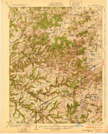
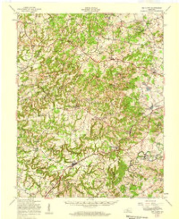
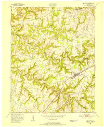
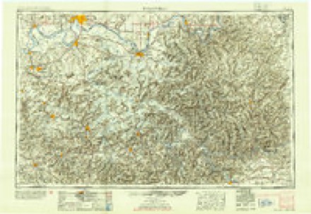
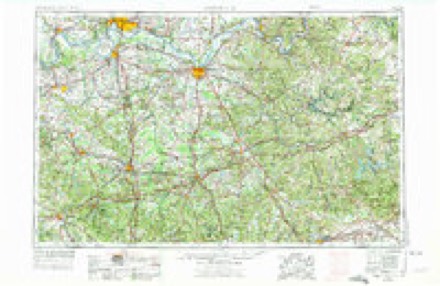
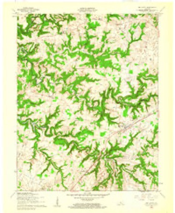
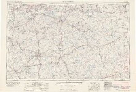
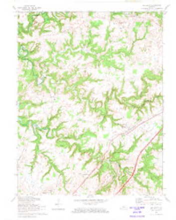
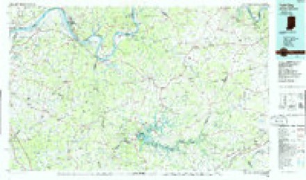
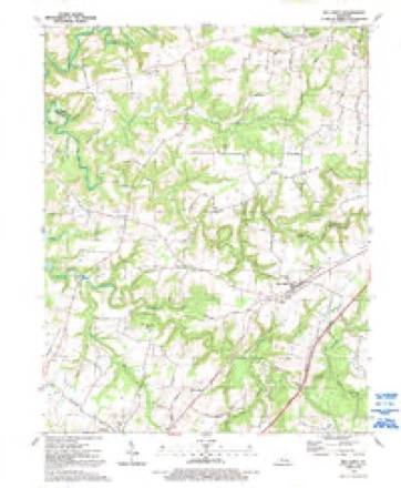
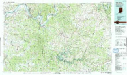
18 topographic sheets cover this place, the earliest surveyed in 1932 and the latest in 1991. It stands in the Clarkson census division. It lies in ZIP code area 42754. It lies near Cold Hollow. The Survey maps it on the Big Clifty quadrangle.
Topographic sheets covering this place
11 surveys from 18 printed sheetsMatched by testing this settlement's coordinate against the published boundary of every sheet in the United States Geological Survey's historical collection. Each opens the scanned sheet at the Survey.
- 1932 USGS Big Clifty quadrangle1:62500, 5 printings
- 1949 USGS Big Clifty quadrangle1:62500
- 1949 USGS Big Clifty quadrangle1:24000
- 1954 USGS Evansville quadrangle1:250000
- 1957 USGS Evansville quadrangle1:250000, 3 printings
- 1960 USGS Big Clifty quadrangle1:24000
- 1961 USGS Evansville quadrangle1:250000, 2 printings
- 1972 USGS Big Clifty quadrangle1:24000
- 1986 USGS Tell City quadrangle1:100000
- 1991 USGS Big Clifty quadrangle1:24000
- 1991 USGS Tell City quadrangle1:100000
Fires near this place
17 since 2000Regional context, not property-specific evidence. The federal wildfire occurrence database lists 17 fires within 5 miles of West Clifty between 2000 and 2014, burning about 115 acres in total. None started naturally. None was recorded as arson. Distance is straight-line from the map coordinates, so a fire counted here may appear on a neighbouring settlement's page as well.
| Reported cause | Fires |
|---|---|
| Missing data/not specified/undetermined | 7 |
| Debris and open burning | 5 |
| Railroad operations and maintenance | 3 |
| Recreation and ceremony | 2 |
The most recent of them, most recent first, with the day each was reported and the service that recorded it.
| Date | Cause | Size | Reported by | Name on the report |
|---|---|---|---|---|
| 8 April 2013 | Railroad operations and maintenance | under an acre | Kentucky Division of Forestry | ST PAUL FIRE |
| 2 April 2011 | Recreation and ceremony | 15 acres | Kentucky Division of Forestry | TIMBERLAND FIRE |
| 18 April 2013 | Recreation and ceremony | 1.0 acres | Kentucky Division of Forestry | GRAYSON SPRINGS |
| 7 March 2002 | Missing data/not specified/undetermined | 1.0 acres | Kentucky Division of Forestry | not named |
| 5 March 2000 | Debris and open burning | 3.0 acres | Kentucky Division of Forestry | not named |
| 4 March 2006 | Missing data/not specified/undetermined | 15 acres | Kentucky Division of Forestry | not named |
| 27 March 2014 | Debris and open burning | 1.0 acres | Kentucky Division of Forestry | BLOCK CITY |
| 27 March 2014 | Debris and open burning | 25 acres | Kentucky Division of Forestry | ROCKCREEK |
Settlements close enough to share some of these fires:
Storms near this place
2 since 2012Regional context, not property-specific evidence. The National Weather Service names West Clifty in 2 storm reports between 2012 and 2021: 2 tornado. The reports record 1 injury. Each account below is quoted exactly as the forecast office filed it, from the NOAA Storm Events Database, and each date opens the federal record of that event.
| When | Event | Place named | Harm | What the report says |
|---|---|---|---|---|
| February 2012 | Tornado (EF2) | West Clifty | 1 hurt, $50,000 | The tornado began as a narrow tornado east of Clarkson just south of Highway 224. The storm increased in width to 200 yards and struck several single and double wide mobile homes south of Millerstown Road. All three mobile homes became airborne, with one traveling over 400 yards. One manufactured home, with a man inside, was thrown 50 feet into a tree and fence. The victim was medically airlifted to Louisville. The tornado next struck a large area of softwood and hardwood trees before striking a solid brick home just west of Horntown with the roof removed and exterior walls either damaged or destroyed. The tornado damaged the Horntown convenience store damaging the roof. During the end of the tornado's life cycle it narrowed and bounced striking several trees and knocking over several cemetery headstones, plus it uprooted 2 large trees at the Little Clifty United Methodist Church just west of Lacon. The tornado lifted in a grove of trees about 250 yards east of the church. |
| March 2021 | Tornado (EF0) | West Clifty | - | The National Weather Service conducted the storm survey. ||A bow echo passed through Grayson County and quickly spun up just south of Clarkson. It dropped a very brief tornado at 3900 Millerstown Road. A large 30ft x 40ft garage was mostly destroyed. A large beam from the garage was thrown into the sidewall of the home residence adjacent to the garage. The house also sustained some minor roof, siding, and gutter damage. ||Across the street, a one-story family residence sustained roof and shingle damage with one of the front windows blown out. ||Debris from the garage and one-story family residence was thrown up to a quarter-mile eastward into the forest. There were a couple of snapped and uprooted trees in the forest, but the most impressive damage was just beyond the small wooded area where a very noticeable ground grinding swirl could be seen across the farmers field. It measured approximately 40 yards wide, which was seen very clearly from a NWS aerial drone. ||There were no signs of any damage beyond the farmers field, where the swirls ended abruptly. |
Nearest settlements
The eight closest, with where each one stands in the county. Distances are straight-line, computed from the Geographic Names Information System coordinates.
| Map | Place | Distance | Sheets |
|---|---|---|---|
| Clarkson | 2.2 miles | 12 | |
| Saint Paul | 2.6 miles | 18 | |
| Big Clifty | 2.9 miles | 18 | |
| Tar Hill | 3.9 miles | 18 | |
| Horntown | 4.1 miles | 12 | |
| Grayson Springs | 4.2 miles | 12 | |
| Fragrant | 4.2 miles | 12 | |
| Skaggstown | 5.5 miles | 12 |
Elsewhere
Matched on this settlement's Geographic Names Information System number rather than its name, so it cannot be a different place of the same name in another state.
| Wikidata item Q122541926 | The structured record the population and elevation above come from. Public domain (CC0). |
Provenance
This settlement is recorded in the Geographic Names Information System as feature 509341. The sheet list is computed by point-in-boundary test against the United States Geological Survey's historical topographic inventory. Both are works of the United States government and carry no copyright under 17 U.S.C. 105.
Wildfire. Short, Karen C. 2022. Spatial wildfire occurrence data for the United States, 1992-2020 [FPA_FOD_20221014]. 6th Edition. Fort Collins, CO: Forest Service Research Data Archive. https://doi.org/10.2737/RDS-2013-0009.6 Collected with United States Government funding and usable without additional permissions or fees.
Storms. NOAA National Centers for Environmental Information, Storm Events Database https://www.ncei.noaa.gov/stormevents/ A work of the United States government, no copyright under 17 U.S.C. 105. Narratives are quoted verbatim from the National Weather Service report and are not edited or summarised.