 Block
From the record
47 National Register listings published here.
Sources: the National Register database, National Park Service
33 topographic sheets and 8 fire insurance atlases across 1 place.
47 National Register listings published here.
Sources: the National Register database, National Park Service
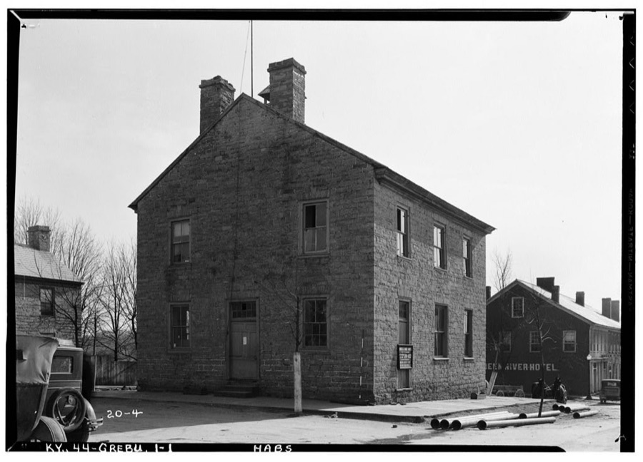
Taken for the Office of War Information and the Farm Security Administration, who photographed the country between 1935 and 1944. Works of United States government photographers, with no known restriction on use. Each opens its catalogue record.
Every property in this county listed on the National Register of Historic Places, with the year it was listed and the federal nomination document.
| Photograph | Property | Type | Listed | Reference |
|---|---|---|---|---|
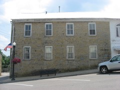 | James Allen's Inn | building | 1987 | 87000206 |
| John C. Allen House | building | 1985 | 85000917 | |
 | Anderson House | building | 1984 | 84001496 |
| Barrett-Blakeman House | building | 1985 | 85000909 | |
| Brents-Lisle House | building | 1984 | 84001501 | |
| Chewning House | building | 1984 | 84001502 | |
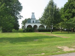 | Christopher Columbus Christie House | building | 1984 | 84001503 |
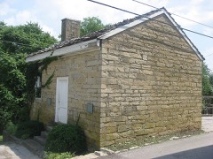 | Court Clerk's Office-County & Circuit | building | 1987 | 87000176 |
| Francis Cowherd House | building | 1985 | 85000908 | |
| Creal Store | building | 1984 | 84001504 | |
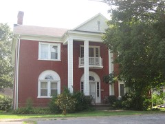 | Elijah Creel House | building | 2008 | 85003589 |
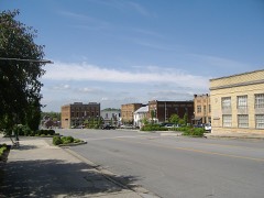 | Downtown Greensburg Historic District | district | 2003 | 02001466 |
| Ebenezer School | building | 1984 | 84001505 | |
| Edwards House | building | 1984 | 84001507 | |
| David Edwards House | building | 1984 | 84001506 | |
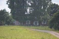 | Elmore-Carter House | building | 1984 | 84001508 |
| Emory-Blakeman-Penick House | building | 1984 | 84001509 | |
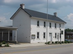 | Federal House | building | 1985 | 85000910 |
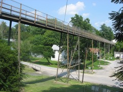 | Goose Creek Foot Bridge | structure | 1985 | 85000911 |
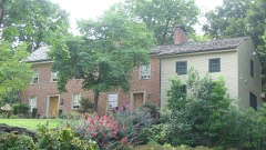 | Greensburg Academy | building | 1976 | 76000891 |
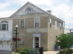 | Greensburg Bank Building | building | 1979 | 79000991 |
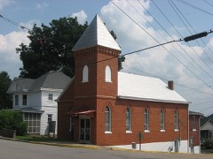 | Greensburg Cumberland Presbyterian Church | building | 1985 | 85000912 |
| Groves-Cabell House | building | 1984 | 84001510 | |
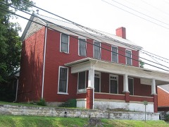 | William H. Herndon House | building | 1985 | 85000913 |
| David Hilliard House | building | 1984 | 84001511 | |
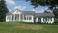 | William Hobson House | building | 1985 | 85000914 |
| Keltner House | building | 1984 | 84001512 | |
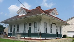 | L & N Passenger Depot | building | 1984 | 84001513 |
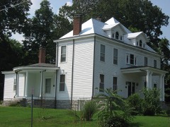 | Woodson Lewis House | building | 1985 | 85000915 |
| Livesay House | building | 1984 | 84001514 | |
| Mears House | building | 1984 | 84001517 | |
| Montgomery House | building | 1984 | 84001521 | |
| Montgomery's Mill | building | 1984 | 84001523 | |
| Montgomery-Sandidge House | building | 2017 | 100001421 | |
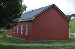 | Mt. Gilead Baptist Church | building | 1984 | 84001519 |
| Mud Brick House in Greensburg | building | 2010 | 09001307 | |
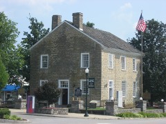 | Old Courthouse | building | 1972 | 72000533 |
| Philpot House | building | 1985 | 85000907 | |
| Sandidge House | building | 1984 | 84001525 | |
| Simpson Log House | building | 1984 | 84001526 | |
| Napoleon Wallace House | building | 1984 | 84001527 | |
| Webbs Female Academy | building | 1984 | 84001528 | |
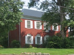 | White-Penick House | building | 1985 | 85000916 |
| Whitlock Log Cabin | building | 1984 | 84001529 | |
| Daniel Motley Williams House | building | 1984 | 84001531 | |
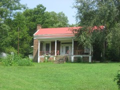 | R. H. Wilson House | building | 1984 | 84001532 |
| Woodward House | building | 1984 | 84001534 |
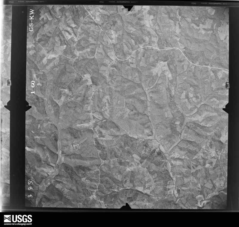
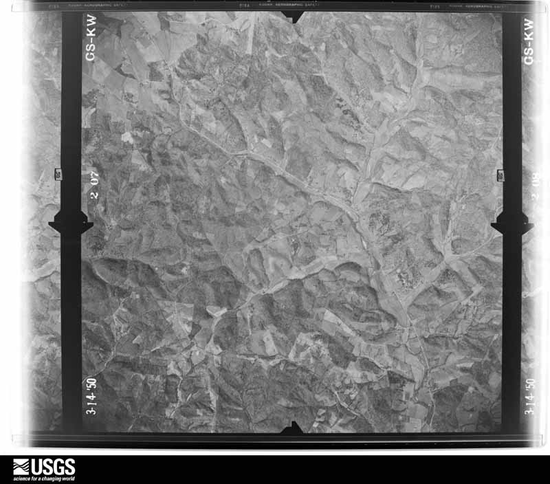
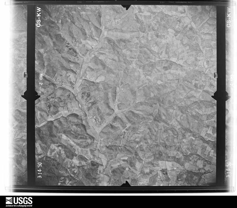
Flown by the U.S. Geological Survey between 1937 and 1989, the Aerial Photo Single Frames collection is the definitive mid-century view of the land: fields, roads and rivers as the camera saw them. The Survey holds 542 frames inside the rectangle that bounds this county; the 20 frames below were taken over the county itself, chosen across the decades of flights (at most four a year from that rectangle), so one flight cannot crowd out the rest. The full set is free to browse and download at EarthExplorer under the dataset Aerial Photo Single Frames.




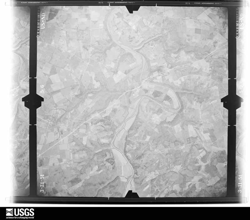
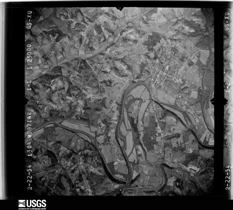
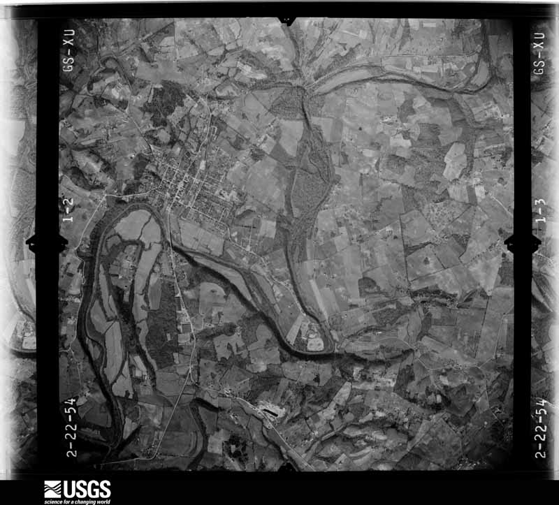
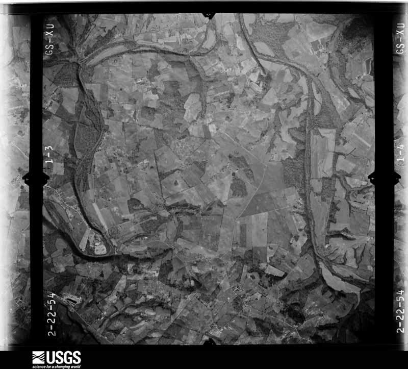
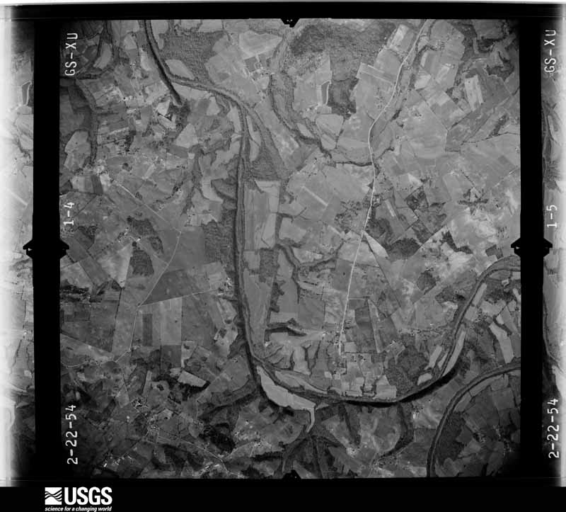
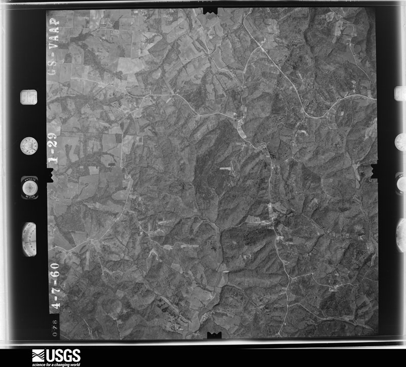
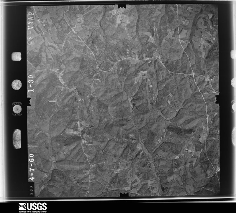
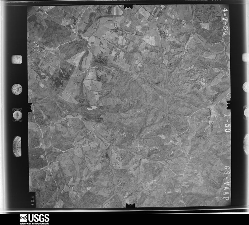
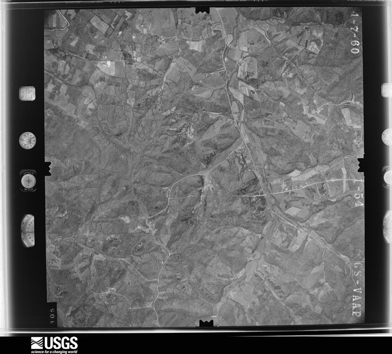
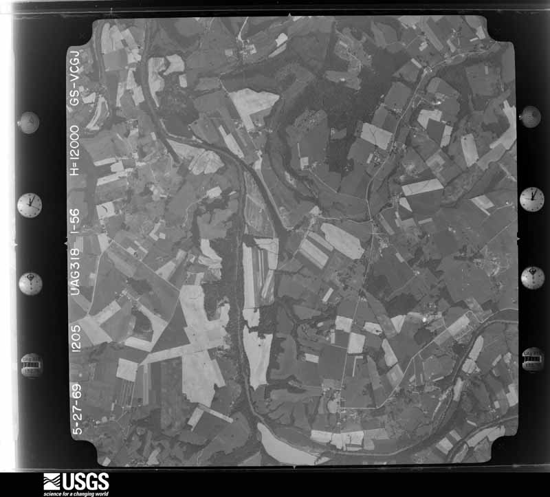

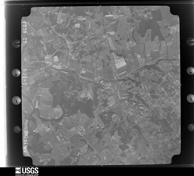
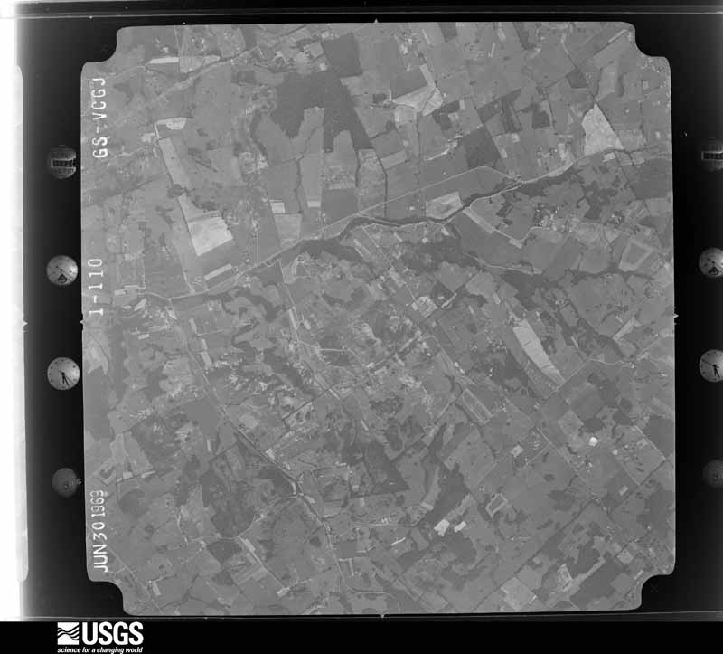
The thermometers that kept this county's weather, and the gages that measured the flow of its streams, as the federal records hold them. The extremes below are measured values from those records, not estimates.
Who lived here in 1950, one enumeration district at a time, as the Census Bureau described each district. Each row opens its official National Archives result, with Population Schedules and ED Maps available there.
Every wildfire the federal occurrence database records inside this county: 97 of them, burning about 946 acres. 1 started naturally and 15 were recorded as arson. Each settlement page carries the fires within five miles of it.
| Reported cause | Fires |
|---|---|
| Missing data/not specified/undetermined | 25 |
| Debris and open burning | 24 |
| Recreation and ceremony | 18 |
| Arson/incendiarism | 15 |
| Equipment and vehicle use | 6 |
| Railroad operations and maintenance | 4 |
| Smoking | 4 |
| Natural | 1 |
The five largest, by the area the report gives. One of them was set deliberately.
| Date | Cause | Size | Reported by | Name on the report |
|---|---|---|---|---|
| 30 March 1998 | Arson/incendiarism | 125 acres | Kentucky Division of Forestry | not named |
| 23 December 2019 | Missing data/not specified/undetermined | 98 acres | Kentucky Division of Forestry | CANEY FLAT |
| 4 November 2005 | Missing data/not specified/undetermined | 80 acres | Kentucky Division of Forestry | not named |
| 7 February 2009 | Recreation and ceremony | 50 acres | Kentucky Division of Forestry | not named |
| 6 March 2012 | Debris and open burning | 47 acres | Kentucky Division of Forestry | BRAMBLE HU |
| 10 September 1999 | Equipment and vehicle use | 40 acres | Kentucky Division of Forestry | not named |
| 30 March 1998 | Debris and open burning | 40 acres | Kentucky Division of Forestry | not named |
| 2 March 2006 | Missing data/not specified/undetermined | 35 acres | Kentucky Division of Forestry | not named |
Every settlement page carries the fires within five miles of it - see the settlement index below.
The NOAA Storm Events Database holds 227 reports for this county, causing no deaths, 4 injuries and about $5,400,030 in recorded property damage. Each settlement page carries the reports that name it.
| Kind of event | Reports |
|---|---|
| Thunderstorm Wind | 146 |
| Hail | 46 |
| Flash Flood | 18 |
| Tornado | 12 |
| Flood | 4 |
| Heavy Rain | 1 |
The most serious of them, by death, then injury, then recorded damage. The accounts are quoted exactly as the forecast office filed them.
| When | Event | Place named | Harm | What the report says |
|---|---|---|---|---|
| April 1974 | Tornado (F4) | not stated | 3 hurt, $2,500,000 | no account filed |
| June 1987 | Thunderstorm Wind | not stated | 1 hurt | no account filed |
| April 2002 | Thunderstorm Wind | Summersville | $1,200,000 | Eight houses were destroyed. Two houses had major damage. Eight other homes had minor damage. Thirteen barns were damaged or destroyed. Six businesses had damage. An unoccupied mobile home was flipped over a house and into a tree. Numerous trees and power lines were down. |
| April 2017 | Thunderstorm Wind | Crailhope | $300,000 | Over 160 structures were damaged in a 2-3 mile wide swath extending 15 miles from near Hiseville in Barren County northeast across Metcalfe into Green County. Three EF-1 tornadoes, with maximum winds of 100-110 mph were embedded within this area. Outside of the tornadoes, maximum winds were estimated at 70-90 mph. In Green County, non-tornadic winds did the most damage to homes 3/4 mile east-northeast of Crailhope and 1.75 miles west-northwest of Pierce. |
| April 1972 | Tornado (F2) | not stated | $250,000 | no account filed |
| July 2015 | Tornado (EF1) | Gresham | $200,000 | This brief tornado tracked for approximately 1.1 miles with a maximum width of 50 yards. The highest winds were estimated to have been 95 to 105 mph. The tornado destroyed two barns and one mobile home in addition to considerable roof damage to six outbuildings along Ebenezer Road and Highway 61 southeast of Greensburg. |
| February 2018 | Tornado (EF2) | Donansburg | $130,000 | An EF2 tornado touched down east of a row of trees, where it caused roof damage to 2 out of 3 barns. The tornado headed east, where it downed 2 other barns. One, on the left side of the path, was shifted south, and the other, to the right of the path, was shifted north. Tall grass along a fence line within the width of the tornado showed evidence of convergence. Also, a large tree on the north side of the path was snapped southward and drug 10 feet south. Heading east, several trees fell near a residence, but none damaged the house itself. A detached garage had its door blown outward. Next, a 2 story house had some roof damage and a porch on the lee side of the house had a column fly out down a field about 50 yards. Lastly, the tornado struck a barn and several trees fell. At this residence, a carport was thrown over the house and landed 100 yards east. A few |other trees fell beyond this point before the tornado lifted. |
| April 2017 | Tornado (EF1) | Crailhope | $100,000 | The tornado touched down in an open field and moved northeast toward a corner on Mahogany Lane. Two small vortices, one 50 yards wide and the other 100 yards wide, reached speeds up to 105 mph as they destroyed a large, well-built barn and two smaller outbuildings in addition to a fifth wheel trailer. The debris from each of these structures was blown to the northeast up to mile, and exhibited both convergence and rotation. |
| May 2004 | Thunderstorm Wind | Greensburg | $75,000 | A shingle roof was blown off a warehouse. A portion of a sheet metal wall was blown out of another warehouse. Part of the roof was blown off a gas station. A few warehouse doors were blown in. Several large trees were downed. |
| June 2018 | Thunderstorm Wind | Crailhope | $50,000 | The Emergency Manager reported a communications tower buckled due to severe thunderstorm winds. |
| February 2018 | Thunderstorm Wind | Greensburg | $50,000 | Local media reported trees and power lines down with power outages. |
| July 2015 | Thunderstorm Wind | Gabe | $50,000 | A Kentucky state official reported that multiple trees and power lines were down with structural damage reported as well. |
| May 2004 | Thunderstorm Wind | Greensburg | $50,000 | A shingle roof was blown off a warehouse. A portion of a sheet metal wall was blown out of another warehouse. Part of the roof was blown off a gas station. A few warehouse doors were blown in. Several large trees were downed. |
| May 1995 | Hail | Donansberg | $50,000 | A few homes and cars damged by golf ball-size hail. |
| May 1995 | Tornado (F1) | Donansberg | $50,000 | A brief tornado blew several roofs off homes and uprooted trees., |
| June 1994 | Thunderstorm Wind | not stated | $50,000 | The sheriff's department reported numerous trees were blown down along with several downed power lines. |
| August 1993 | Tornado (F0) | not stated | $50,000 | A small tornado briefly touched down near the Wurtland and Fulton area along the Ohio River. There was minor damage to a houseboat and several trees were uprooted. |
| May 2004 | Thunderstorm Wind | Greensburg | $30,000 | Numerous trees and power lines were downed. The roof was blown off a building. |
| February 2018 | Thunderstorm Wind | Grab | $25,000 | Green County Emergency Manager reported several trees and power lines down along Grab Road, southwest of Greensburg. |
| July 2016 | Thunderstorm Wind | Greensburg | $25,000 | Local law enforcement reported trees down on a structure on Water Street in Greensburg. Other trees were reported down county wide. |
| May 1998 | Thunderstorm Wind | Greensburg | $20,000 | no account filed |
| March 1997 | Tornado (F2) | Creal | $20,000 | no account filed |
| April 1996 | Tornado (F0) | Pierce | $20,000 | no account filed |
| June 2018 | Thunderstorm Wind | Exie | $15,000 | A power pole snapped, a tree blew down, and a trampoline blew away from a property. |
| July 2003 | Thunderstorm Wind | Gabe | $15,000 | The roof was torn off a mobile home. Some outbuildings and their contents were damaged. A few trees were downed. |
| June 1995 | Thunderstorm Wind | Greenup | $15,000 | Several large trees limbs fell and caused power outages. Winds were estimated at 60 mph at Greenup. Fallen trees damaged two vehicles in downtown Russell. |
| April 2002 | Thunderstorm Wind | Greensburg | $10,000 | Numerous trees and power lines were downed, along with some unspecified structural damage. |
| June 1995 | Thunderstorm Wind | Russell | $10,000 | Several large trees limbs fell and caused power outages. Winds were estimated at 60 mph at Greenup. Fallen trees damaged two vehicles in downtown Russell. |
| March 2017 | Thunderstorm Wind | Greensburg | $5,000 | State officials reported power poles down blocking portions of Highway 88 near Greensburg. |
| December 2013 | Thunderstorm Wind | Greensburg | $5,000 | A storm survey confirmed that sporadic damage across Green County was due to straight line winds up to 65 mph associated with a severe squall line. The most significant damage surveyed was noted in Greenville near the intersection of State Highways 61 and 68, where roof and shingle damage occurred. |
| May 2004 | Thunderstorm Wind | Greensburg | $5,000 | A number of trees were blown down. Windows were blown out of a residence. |
| May 2004 | Thunderstorm Wind | Greensburg | $5,000 | A number of trees were downed. Windows were blown out of a residence. |
| January 1999 | Thunderstorm Wind | Greensburg | $5,000 | Trees down. Tree fell on a car in eastern section of county |
| May 1993 | Thunderstorm Wind | not stated | $5,000 | Three miles south of South Shore, trees and power lines were blown down. |
| June 1995 | Thunderstorm Wind | Greenup | $5,000 | no account filed |
| June 2013 | Thunderstorm Wind | Greensburg | $2,000 | A spotter reported several trees and power lines down in Greensburg. |
| March 2020 | Thunderstorm Wind | Allendale | $1,000 | The emergency manager reported that a small metal shed was destroyed. |
| June 2015 | Thunderstorm Wind | Greensburg | $1,000 | The Green County Emergency Manager reported a tree fell down on a house resulting in minor damage. |
| May 2006 | Thunderstorm Wind | Greensburg | $1,000 | no account filed |
| April 1971 | Tornado (F4) | not stated | $30 | no account filed |
| April 2026 | Thunderstorm Wind | Greensburg | - | The National Weather Service conducted a damage survey in Green County for the storms that occurred in the early morning hours on April 28, 2026. Straight line wind damage was observed to occur with max wind speeds of 80 mph.||Damage was mainly concentrated near Greensburg, KY along US Highway 68. Damage to trees and power lines were observed to the south and southeast of Greensburg along Columbia Highway, on route 417 (East Columbia Avenue) and on Brummal Avenue near Green County High School. Damage continued to the east and fanned out in nature consistent with a straight line wind downdraft along Cox Bend area near Taylor Cox Road. Mostly trees were damaged with large limbs in the Cox Bend area. The most notable damage was a single wide trailer roof completely peeled off near Coxes Bend |Road and Darnell Road. All damage was consistent with facing in the easterly direction associated with straight line wind damage.||Another damage point was reported near the Exie fire department well south of Greensburg on US Highway 68 where a couple of power poles were down, but no other tree or structure damage was observed near this area. This damage was also straight |line wind damage, but was in a different area than the points near and east of Greensburg, KY. |
| April 2026 | Thunderstorm Wind | Donansburg | - | There was a tree down on New Salem Road. |
| April 2026 | Thunderstorm Wind | Whitewood | - | There was a tree down on Whitewood Road. |
| April 2026 | Thunderstorm Wind | Exie | - | There was an electric pole down at US 68 and Matney Road. |
| February 2025 | Thunderstorm Wind | Donansburg | - | Tree damage due to strong thunderstorm winds was observed halfway between Donansburg and New Salem Baptist Church along Donansburg New Salem Road. |
| May 2025 | Hail | Exie | - | Golf ball sized hail was reported north of Exie. |
| May 2025 | Hail | Webbs Xrds | - | Golf ball sized hail was observed along Charlie Rhea Road. |
| May 2025 | Hail | Gabe | - | Half dollar sized hail was reported just west of Greensburg. |
| April 2025 | Thunderstorm Wind | Bramlett | - | A large barn was blown down on the 2600 block of Bramlett Road. |
| June 2025 | Thunderstorm Wind | Gresham | - | Multiple trees were blown down by strong thunderstorm winds along Ebenezer Road in southeastern Green County. |
| April 2025 | Flash Flood | Greensburg | - | There were water rescues south of Greensburg. |
| April 2025 | Thunderstorm Wind | Pierce | - | There was roof damage to a home on James Wallace Road. |
| May 2024 | Thunderstorm Wind | Roachville | - | A tree was blown down on River Bluff Road. |
| May 2024 | Thunderstorm Wind | Pierce | - | A tree was blown down across Kentucky Route 218 near R Bishop Lane. |
| May 2024 | Hail | Exie | - | Golf ball sized hail was observed near the intersection of Kentucky Route 68 and Mell Road in Exie. |
| May 2024 | Thunderstorm Wind | Greensburg | - | Multiple trees were blown down by strong winds in and around Greensburg. Two fallen trees caused damage to a home on Legion Park Road. |
| July 2024 | Thunderstorm Wind | Gabe | - | Several trees were downed by strong winds in Green County. |
| July 2024 | Thunderstorm Wind | Greensburg | - | Trees were blown down on Henry Street in Greensburg. |
| January 2023 | Thunderstorm Wind | Eve | - | A porch roof and a playground were damaged along Aetna Grove Church Road. |
| March 2023 | Thunderstorm Wind | Boyds Crossing | - | The emergency manager reported trees down on Dudgins Highway. |
The Survey's mineral resources record lists 1 working inside this county. It still produces. Each settlement page carries the workings within five miles of it.
| Commodity | Workings |
|---|---|
| Stone, Crushed/Broken | 1 |
The least common of them first, because a county's hundredth gravel pit says nothing its first ten did not.
| Where | Site | Commodity | Status | Recorded |
|---|---|---|---|---|
| Greensburg Quarry | Stone, Crushed/Broken | Producer |
Named settlements recorded in the Geographic Names Information System, each with the topographic sheets covering it. Villages, hamlets and abandoned places alike. Each is shown with the nearest named watercourse or landform and the survey quadrangle it falls on. The 1 place that was also surveyed for fire insurance comes first, with the number of atlases and photographs held for them.
Greensburg census division · 42743 · On Goose Creek · Greensburg quadrangle
9 sheets, 1954 to 1986
Fire insurance: 8 atlases
Summersville census division · 42782 · On Brush Creek · Summersville quadrangle
10 sheets, 1953 to 1986
Summersville census division · 42743 · Summersville quadrangle
10 sheets, 1953 to 1986
Greensburg census division · 42743 · Near Marcum Island · Greensburg quadrangle
9 sheets, 1954 to 1986
Gresham census division · 42743 · On Snake Branch · Gresham quadrangle
10 sheets, 1953 to 1986
Donansburg census division · 42214 · Near Crail Hill · Center quadrangle
11 sheets, 1953 to 1986
Summersville census division · 42782 · Near Vance Island · Hudgins quadrangle
8 sheets, 1953 to 1986
Gresham census division · 42743 · On Sulphur Fork Creek · Gresham quadrangle
10 sheets, 1953 to 1986
Summersville census division · 42743 · By Buzzards Bluff · Summersville quadrangle
10 sheets, 1953 to 1986
Gresham census division · 42743 · On Skinhouse Branch · Gresham quadrangle
10 sheets, 1953 to 1986
Summersville census division · 42782 · On Holly Branch · Hudgins quadrangle
8 sheets, 1953 to 1986
Donansburg census division · 42743 · On Caney Fork Creek · Exie quadrangle
9 sheets, 1953 to 1986
Summersville census division · 42782 · On Rock Lick Branch · Hudgins quadrangle
8 sheets, 1953 to 1986
Gresham census division · 42743 · On Skinhouse Branch · Gresham quadrangle
10 sheets, 1953 to 1986
Donansburg census division · 42743 · On North Fork Trammell Creek · Exie quadrangle
9 sheets, 1953 to 1986
Donansburg census division · 42743 · On Camp Branch · Summersville quadrangle
10 sheets, 1953 to 1986
Greensburg census division · 42718 · On Meadow Creek · Greensburg quadrangle
9 sheets, 1954 to 1986
9 topographic sheets and 8 fire insurance atlases, 1886 to 1941
The complete index, with nothing left out. Each of these is a separate record with its own page: a federal survey report, or the case file that argued a property on to the National Register. Both are public domain and reproduced word for word.