 Block
From the record
18 National Register listings published here.
Sources: the National Register database, National Park Service
77 topographic sheets and 10 fire insurance atlases across 2 places.
18 National Register listings published here.
Sources: the National Register database, National Park Service
Taken for the Office of War Information and the Farm Security Administration, who photographed the country between 1935 and 1944. Works of United States government photographers, with no known restriction on use. Each opens its catalogue record.
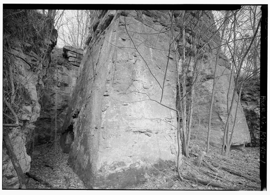
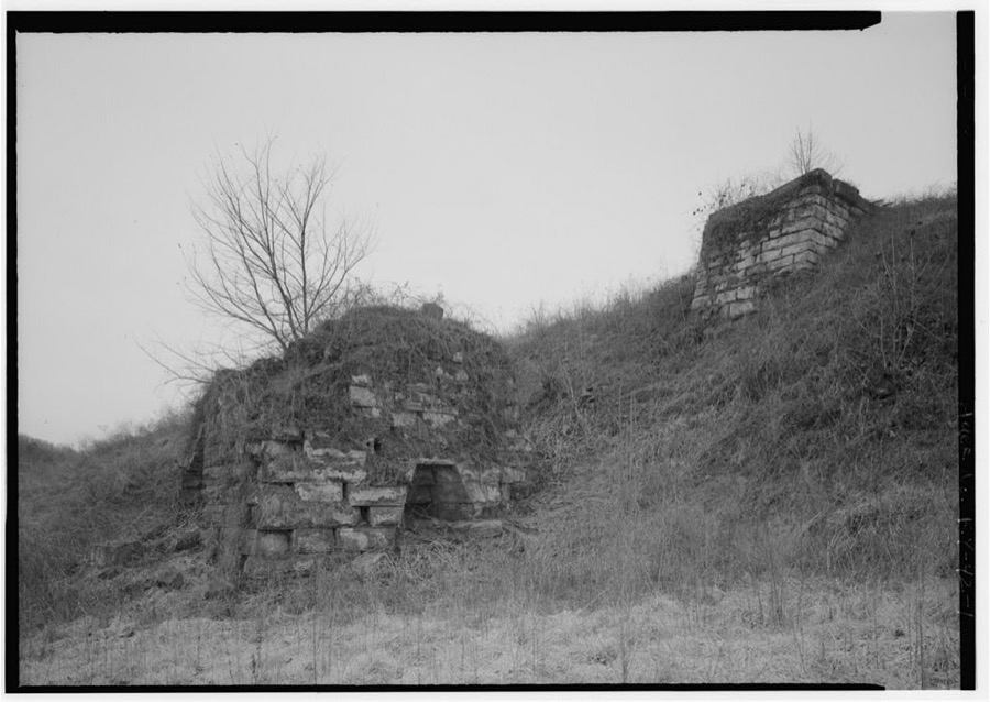
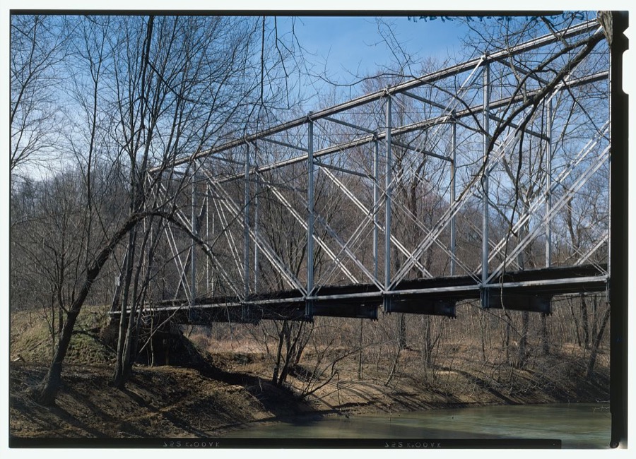
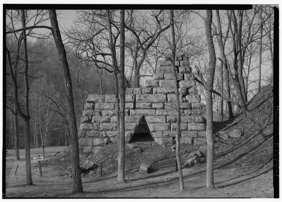
Every property in this county listed on the National Register of Historic Places, with the year it was listed and the federal nomination document.
| Photograph | Property | Type | Listed | Reference |
|---|---|---|---|---|
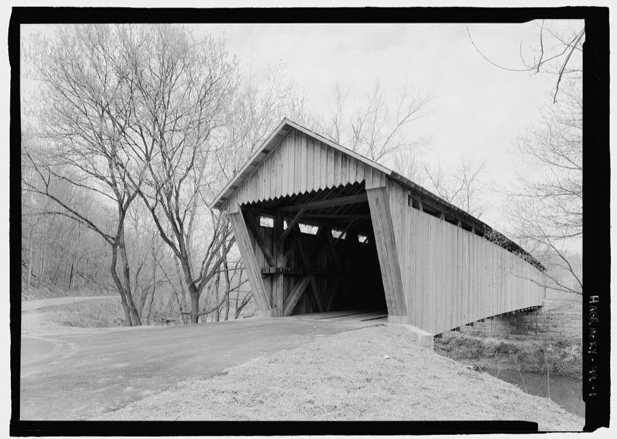
 | Bennett's Mill Covered Bridge | structure | 1976 | 76000892 |
| Front Street District | district | 1988 | 87002448 | |
 | General U.S. Grant Bridge | structure | 2001 | 01000560 |
 | Greenup Masonic Lodge | building | 1988 | 87002447 |
| KY 2541 Bridge | structure | 1988 | 87002446 | |
| Kouns-Hoffman House | building | 1988 | 87002445 | |
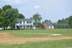 | McConnell House, Law Office, and Slave Quarters | building | 1975 | 75000764 |
| McKee House | building | 1988 | 87002439 | |
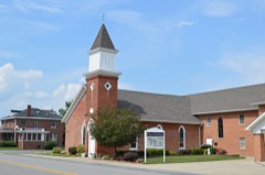 | Methodist Episcopal Church South | building | 1988 | 87002444 |
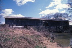 | Oldtown Covered Bridge | structure | 1976 | 76000893 |
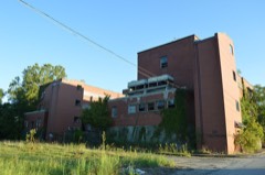 | Russell Railroad YMCA | building | 2001 | 01000452 |
| South Greenup District | district | 1988 | 87002443 | |
| Jesse Stuart House | building | 1982 | 82002700 | |
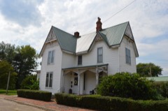 | Warnock House | building | 1988 | 87002442 |
| West Main Street District | district | 1988 | 87002441 | |
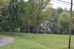 | Worthington House | building | 1988 | 87002438 |
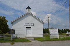 | Wurtland Union Church | building | 2008 | 08001119 |
Greenup County has 2 covered bridges on the National Register. Each is a listed structure with a federal nomination on file.
| Bennett's Mill Covered Bridge | Listed 1976 |
| Oldtown Covered Bridge | Listed 1976 |
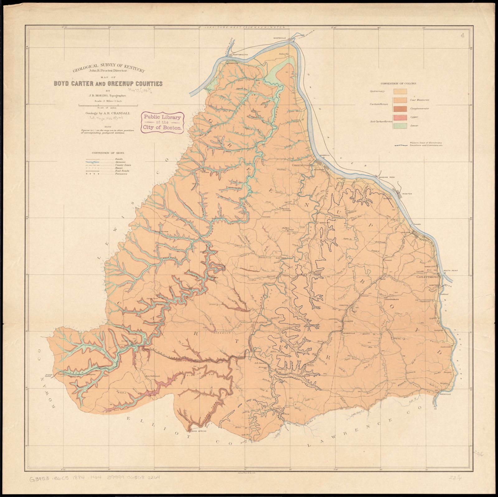
Selected from the Digital Public Library of America's 2 image records catalogued for this county. Every one shown here carries a public-domain status or a licence that permits reuse on a site that carries advertising; non-commercial, share-alike and restricted images are excluded. The selection is spread across the county's towns (at most eight per town), so no single institution's bulk upload crowds out the rest. Each opens the holding library's record, and the complete set at the Digital Public Library of America is one click away.
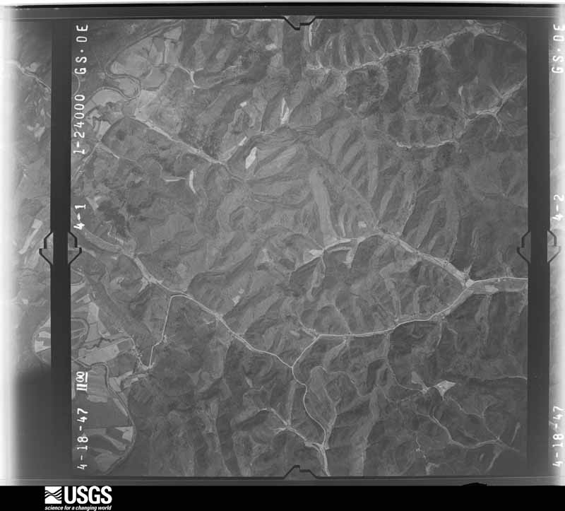
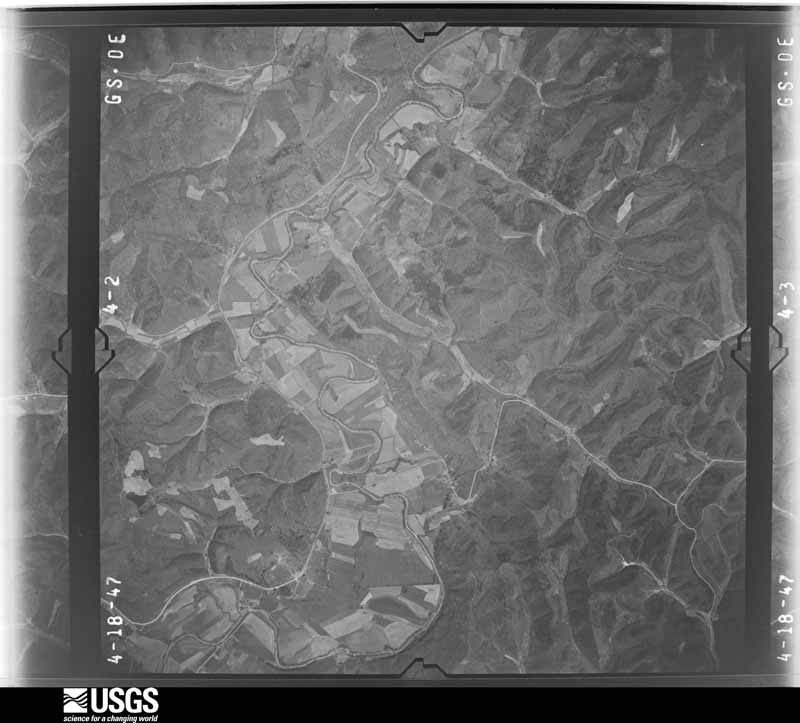
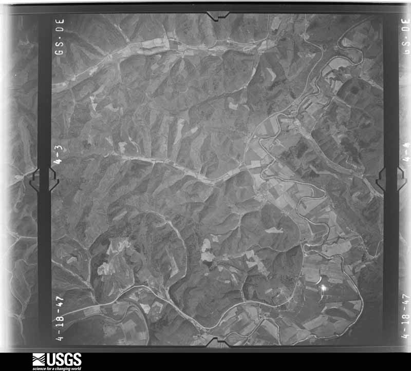
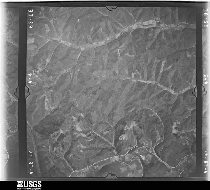
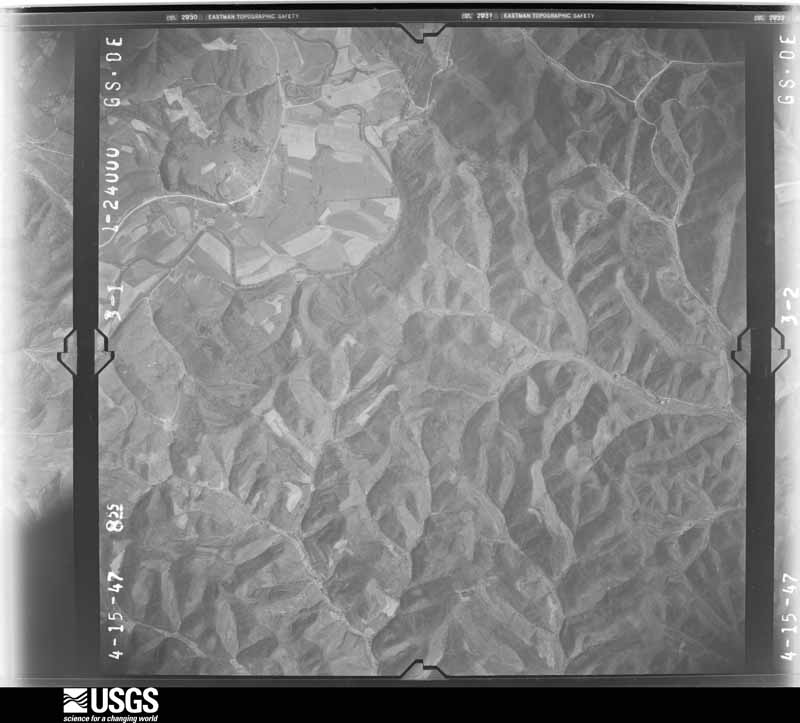
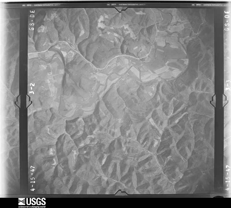
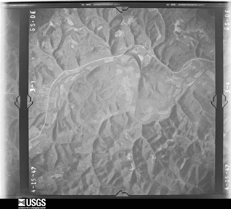
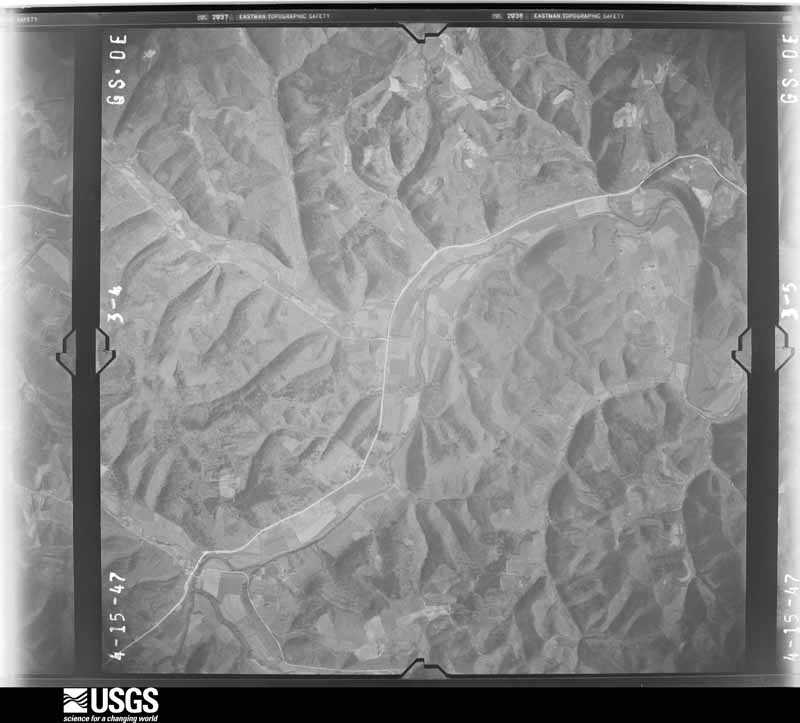
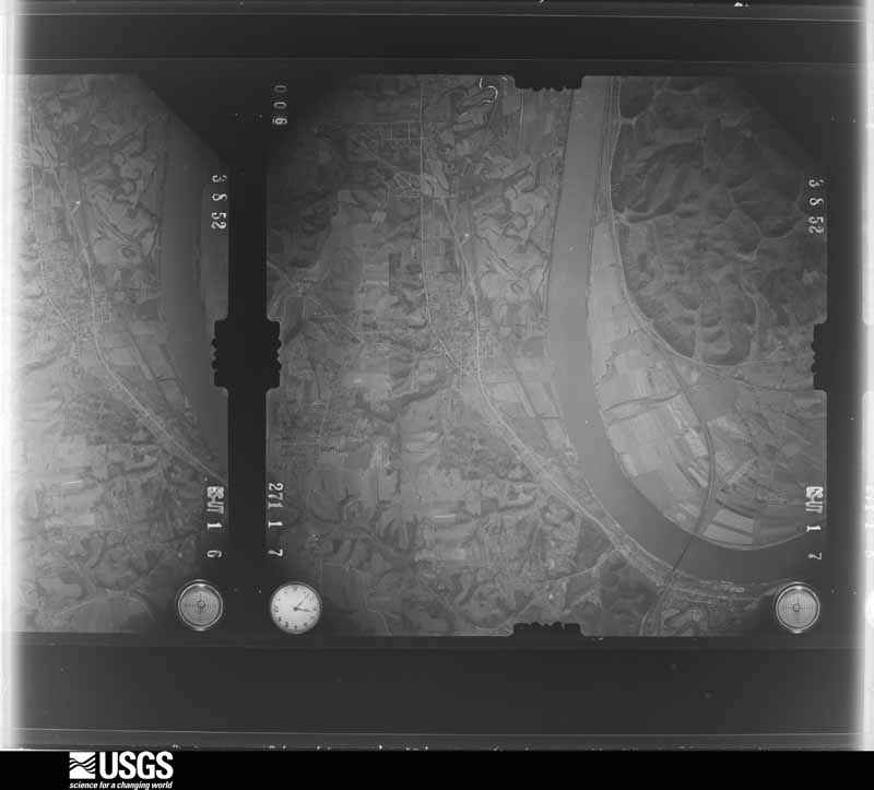
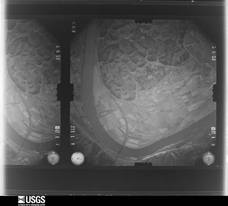
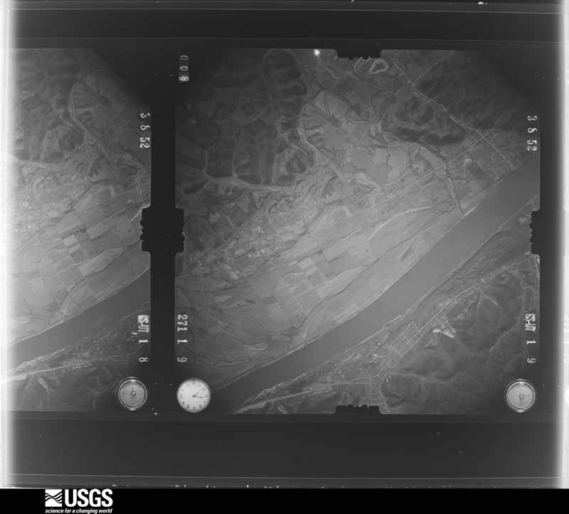
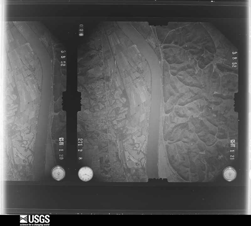
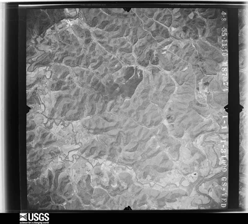
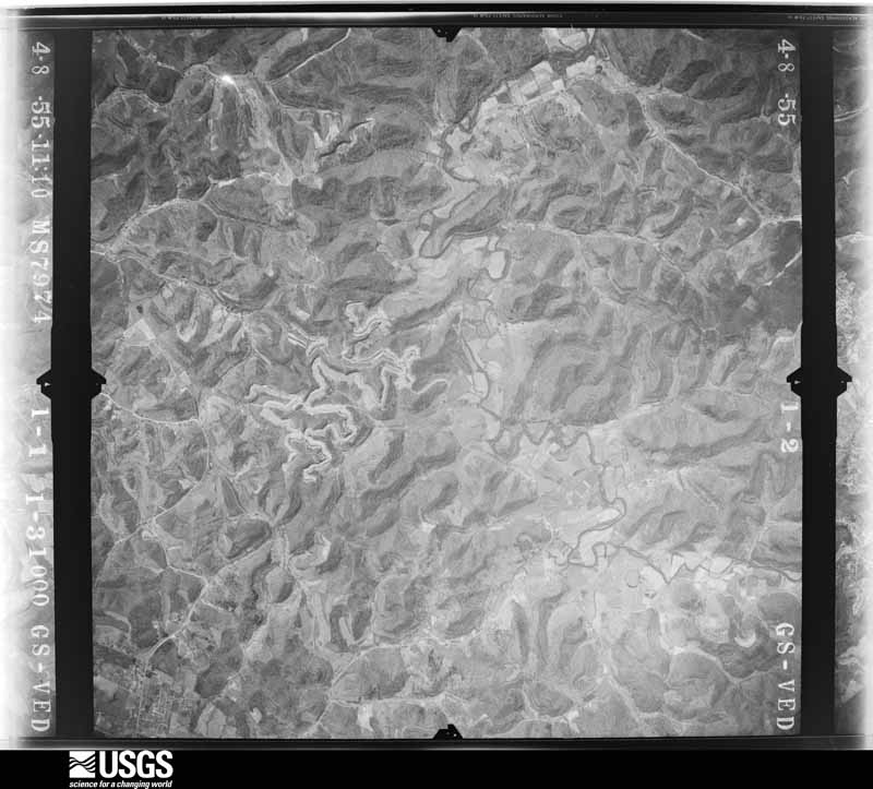
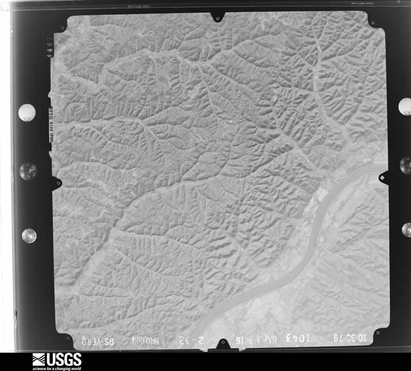
Flown by the U.S. Geological Survey between 1937 and 1989, the Aerial Photo Single Frames collection is the definitive mid-century view of the land: fields, roads and rivers as the camera saw them. The Survey holds 1,153 frames inside the rectangle that bounds this county; the 47 frames below were taken over the county itself, chosen across the decades of flights (at most four a year from that rectangle), so one flight cannot crowd out the rest. The full set is free to browse and download at EarthExplorer under the dataset Aerial Photo Single Frames.



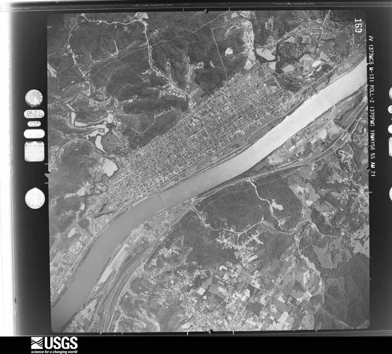
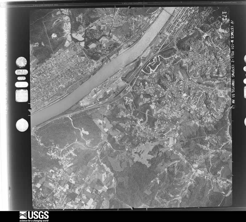


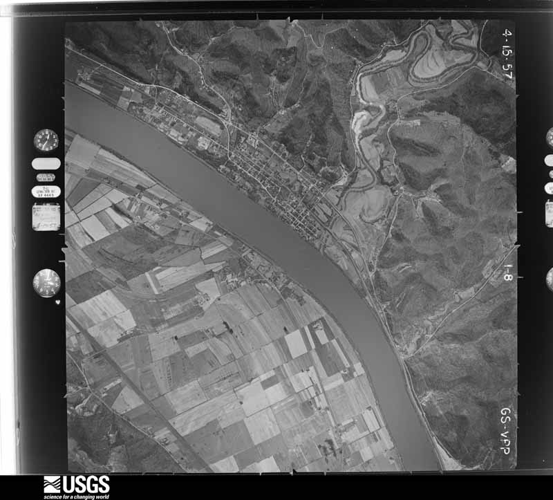
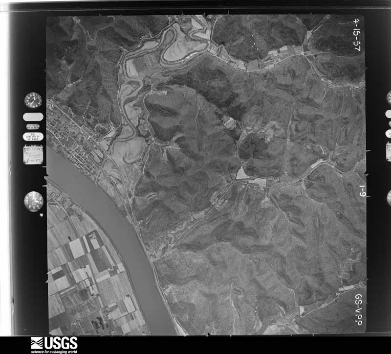

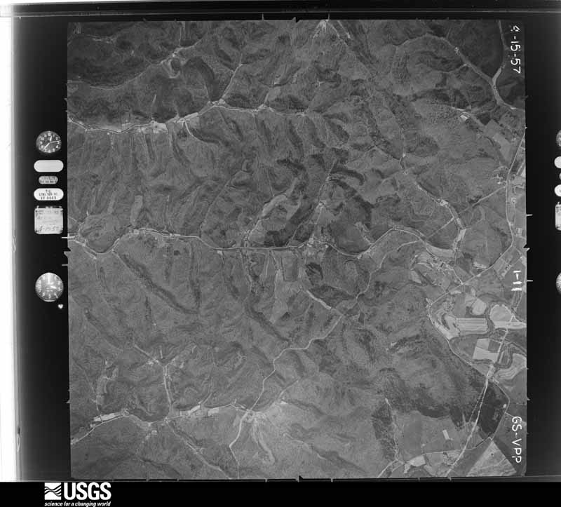
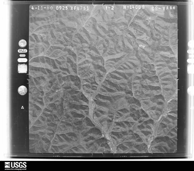
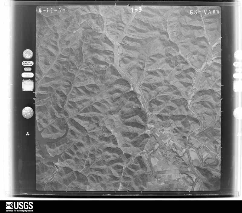
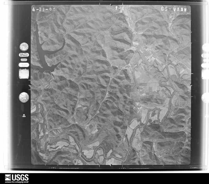
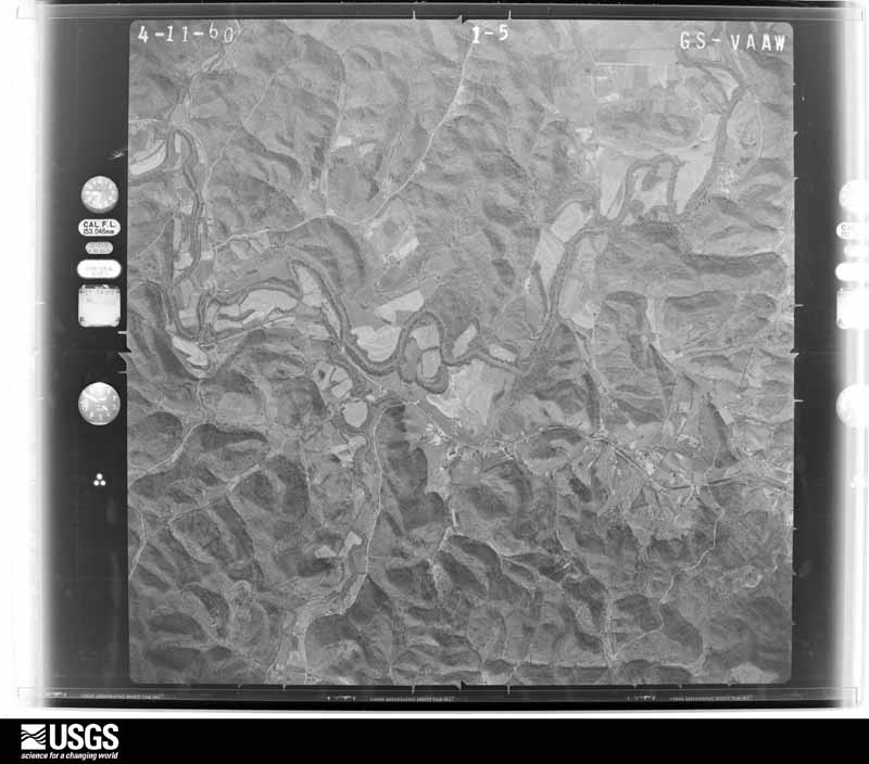
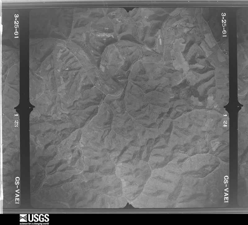
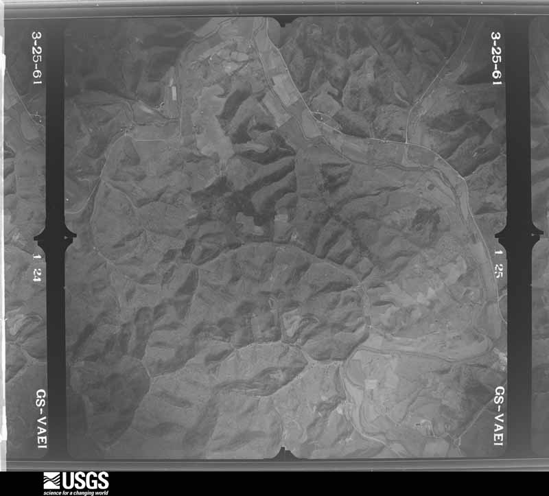
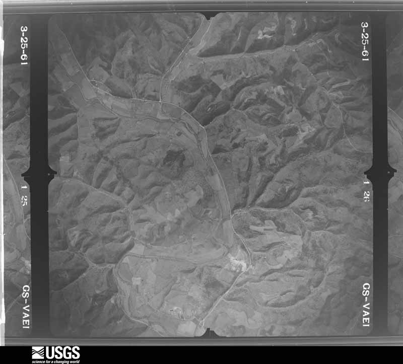
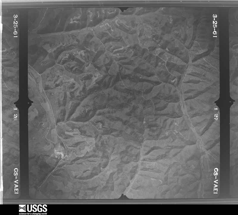
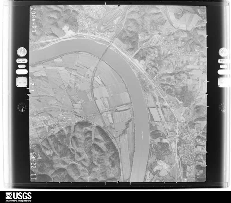
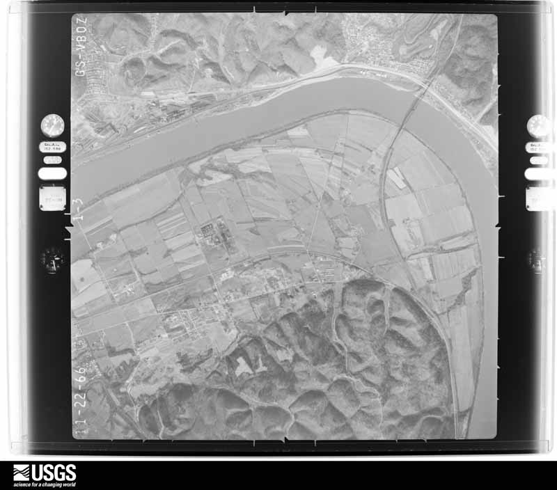
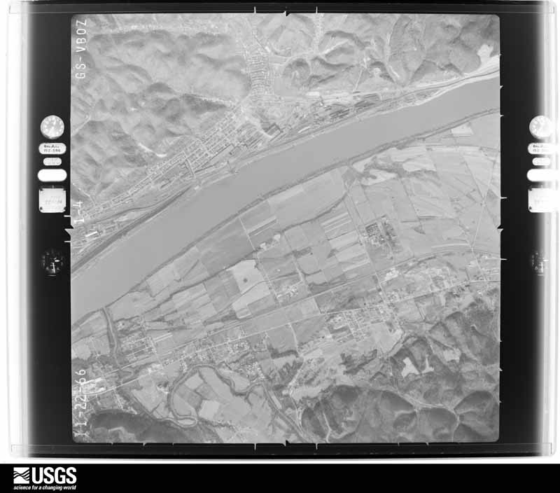
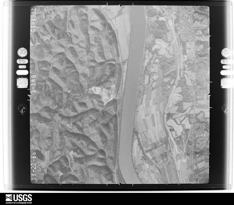
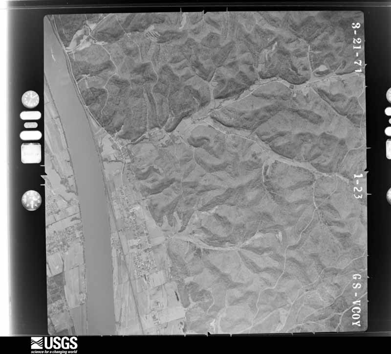
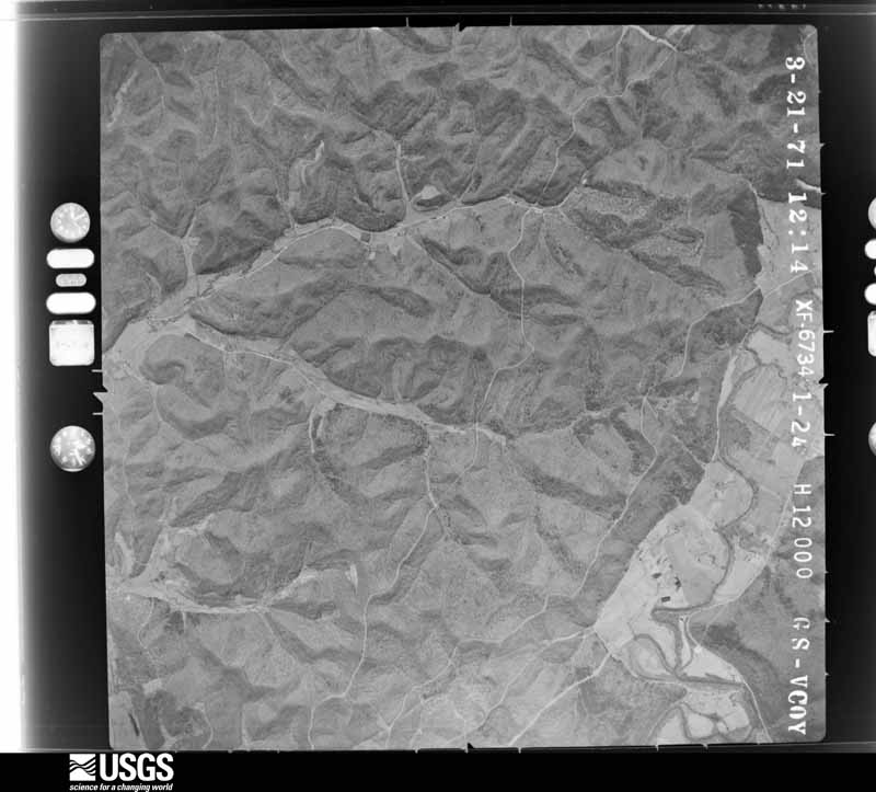






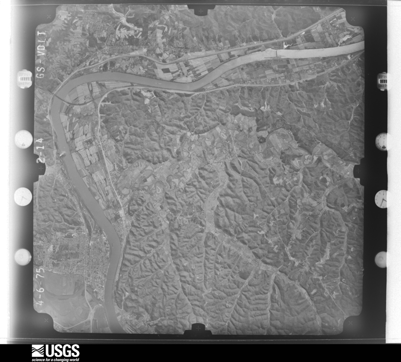
The thermometers that kept this county's weather, and the gages that measured the flow of its streams, as the federal records hold them. The extremes below are measured values from those records, not estimates.
Who lived here in 1950, one enumeration district at a time, as the Census Bureau described each district. Each row opens its official National Archives result, with Population Schedules and ED Maps available there.
Every wildfire the federal occurrence database records inside this county: 681 of them, burning about 14,150 acres. 1 started naturally and 171 were recorded as arson. Each settlement page carries the fires within five miles of it.
| Reported cause | Fires |
|---|---|
| Debris and open burning | 265 |
| Arson/incendiarism | 171 |
| Missing data/not specified/undetermined | 168 |
| Recreation and ceremony | 60 |
| Equipment and vehicle use | 8 |
| Railroad operations and maintenance | 5 |
| Misuse of fire by a minor | 2 |
| Natural | 1 |
| Smoking | 1 |
The five largest, by the area the report gives. Two of them were set deliberately.
| Date | Cause | Size | Reported by | Name on the report |
|---|---|---|---|---|
| 22 March 2016 | Debris and open burning | 476 acres | Kentucky Division of Forestry | FLAT HOLLOW |
| 2 April 2002 | Debris and open burning | 450 acres | Kentucky Division of Forestry | not named |
| 26 March 2000 | Recreation and ceremony | 400 acres | Kentucky Division of Forestry | not named |
| 3 April 2011 | Recreation and ceremony | 290 acres | Kentucky Division of Forestry | PLEASANT VALLEY RD |
| 22 March 2016 | Debris and open burning | 290 acres | Kentucky Division of Forestry | RADIO RIDGE 2 |
| 9 March 2000 | Equipment and vehicle use | 250 acres | Kentucky Division of Forestry | not named |
| 2 January 2000 | Arson/incendiarism | 200 acres | Kentucky Division of Forestry | not named |
| 17 January 2000 | Arson/incendiarism | 200 acres | Kentucky Division of Forestry | not named |
Every settlement page carries the fires within five miles of it - see the settlement index below.
The NOAA Storm Events Database holds 326 reports for this county, causing 2 deaths, 6 injuries and about $18,632,000 in recorded property damage. Each settlement page carries the reports that name it.
| Kind of event | Reports |
|---|---|
| Thunderstorm Wind | 176 |
| Hail | 60 |
| Flash Flood | 40 |
| Flood | 38 |
| Tornado | 5 |
| Lightning | 3 |
| Heavy Rain | 2 |
| Funnel Cloud | 2 |
The most serious of them, by death, then injury, then recorded damage. The accounts are quoted exactly as the forecast office filed them.
| When | Event | Place named | Harm | What the report says |
|---|---|---|---|---|
| December 2019 | Flood | Hunnewell | 1 killed, $25,000 | Multiple roads were closed due to flooding, including State Route 1 and 784 due to flooding along Lost Creek and Three Prong Branch. A vehicle drove into the high water along State Route 1, but the driver was able to self rescue and was not injured. Route 503 was closed due to high water on Culp Creek. Tygarts Creek also flooded upstream of Load, closing sections of State Routes 2 and 7. A 51 year old man tried to drive across the flooded section of Route 2, near the Wagener's General Store, on the morning of the 17th. Witnesses saw him get out of his truck as it was being swept away, but he was unable to swim to safety and drowned. |
| August 2007 | Thunderstorm Wind | Flatwoods | 1 killed, $5,000 | Behind the initial severe thunderstorms, winds remained gusty in training thunderstorms and showers. A tree fell onto the cab of a pickup truck traveling on Happy Ridge Road. The 35 year old male driver was killed. |
| April 1968 | Tornado (F3) | not stated | 5 hurt, $2,500,000 | no account filed |
| September 2011 | Lightning | Lloyd | 1 hurt, $5,000 | A fire to an outbuilding was ignited when lightning hit an antenna. A Lloyd firefighter was then injured due to his close proximity to another lightning strike. He was having hearing problems. He was treated at a hospital and released. |
| May 2010 | Flood | South Shore | $3,500,000 | The worst damage was along the Tygarts Creek Valley and the State Route 7 corridor. This included communities such as Warnock, Load, Lynn, and Maloneton. Residents along the feeder creeks, such as Schultz, Beech, and Whiteoak, also suffered flooding. ||Over 100 homes and 10 business were flooded. Over 75 people were evacuated and around 50 residents were in temporary shelters. Numerous bridges and roads had serious damage. |
| July 1996 | Flash Flood | Countywide | $2,500,000 | no account filed |
| July 1980 | Tornado (F2) | not stated | $2,500,000 | no account filed |
| April 2024 | Tornado (EF1) | Greenup | $2,000,000 | A broken path of damage was noted on the Kentucky side of the tornado track, beginning at the Riverview Cemetery west of Greenup. Additional damage occurred on Seaton Avenue near South 5th Street and in the Greenup Fairgrounds, where a few buildings suffered roof damage and a large tree fell onto another building. The tornado then likely tracked along the Ohio River before intersecting land again on the Kentucky side and causing roof and tree damage to several homes along Calumet Drive. |
| March 1997 | Flash Flood | Countywide | $1,000,000 | no account filed |
| June 2012 | Thunderstorm Wind | South Shore | $750,000 | Trees and large branches fell in scattered locations throughout the county. The county had around 250 computer-aided dispatches, a majority of which were weather related. |
| September 2011 | Hail | Lloyd | $750,000 | Hen egg size hail damaged dozens of vehicles, including a rescue truck, 2 fire trucks and a camper. At least one patio glass door was damaged. Dents were left on roofs and awnings. Even a skylight to one house was damaged. One insurance agent had at least 2 dozen claims from the small community. |
| February 2000 | Flash Flood | Countywide | $750,000 | no account filed |
| May 2011 | Flash Flood | Greenup | $500,000 | Serious urban street flooding occurred around such communities as Bellefonte, Russell, and Flatwoods. Water surrounded homes and businesses. A trailer was swept away in Flatwoods. A few rural streams, such as Indian Run, flooded in the eastern portion of the county. Damage to roads occurred. |
| July 2010 | Flash Flood | South Shore | $300,000 | Since the heaviest rains fell over the northern portions of the county, most of the stream and street flooding was concentrated near the Ohio River communities. Several roads were closed in Worthington and Greenup. There was a water rescue in Lloyd. |
| March 2015 | Flood | Kehoe | $100,000 | Small streams overflowed and blocked roads by the afternoon of the 4th. For example, Three Prong Branch flooded State Route 784. Route 2 also flooded near Load. The Ohio River kept minor flooding lingering into the 7th. The Greenup Lock and Dam crested just over its 54 foot flood stage on the 7th. |
| June 2009 | Flash Flood | Wurtland | $100,000 | Around 1.5 to 1.75 inches of rain fell in less than an hour. This localized downpour affected such stream basins as Kennedy Hollow, Pond Run, and White Oak Creek. The residential areas aided in the runoff.||Near the mouth of Kennedy Hollow, the culvert under Route 23 could not handle the runoff from the residential area. The stream backed up into homes along First Street. Elsehwere, a few businesses along Diederich Boulevard got water inside. A few vehicles were stranded in high water. |
| April 2011 | Thunderstorm Wind | Greenup | $80,000 | A section of roof was blown off an apartment building, damaging some vehicles in the adjacent parking lot. |
| July 2003 | Flash Flood | South Shore | $75,000 | Radar estimated 2 to 3 inches of rain, while the Greenup Lock and Dam measured 1.85 inches of rain. A funeral home was flooded in South Shore. Several businesses had minor water damage. Small streams, such as Schultz Creek, overflowed onto roads. |
| June 2012 | Thunderstorm Wind | Flatwoods | $50,000 | Large trees were blown down. Vehicles were damaged. |
| March 2012 | Thunderstorm Wind | Greenup | $40,000 | Trees were blown down in the town of Greenup. Overhead wires were brought down by the trees. At least one vehicle was damaged when a garage door was blown off. |
| May 2001 | Flash Flood | Countywide | $35,000 | The sheriff reported roads in the community of Greenup flooded and many rural roads closed due to high water. No evacuations were known. Two homes in Russell had structural damage from land slippage. Overall, about 30 homes had minor damage in the county. |
| July 2003 | Thunderstorm Wind | Countywide | $30,000 | Trees were blown down in scattered locations. One tree hit a car and one fallen tree damaged a mobile home. |
| July 2015 | Flash Flood | Naples | $25,000 | Small streams flooded and blocked roads. One example was Sandsuck Creek. Another case was Culp Creek. The adjacent road was damaged. |
| April 2015 | Flood | Kehoe | $25,000 | Streams mostly in the southern and eastern portion of the county flooded roads. The Little Sandy remained above its banks into the 15th. |
| July 2015 | Thunderstorm Wind | Riverton | $25,000 | Several trees were blown down. |
| February 2014 | Flood | Argentum | $25,000 | The most vulnerable low spots along streams overflowed onto roads, including portions of Route 7 along Tygarts Creek. The Little Sandy River also caused minor flooding. |
| June 2012 | Thunderstorm Wind | Kenwood | $25,000 | Trees fell onto utility wires, causing downed poles. Route 23 was blocked. |
| July 2010 | Flood | South Shore | $25,000 | High water lingered on the larger streams and the Little Sandy River, but with little damage. The crest on the lower portion of Tygart Creek was 19.9 feet compared to 24.4 feet back in the May 2010 flood. |
| May 2022 | Tornado (EF1) | Load | $20,000 | An EF1 tornado touched down on a hillside south of Little White Oak Road uprooting several trees. The tornado then traveled north across a newly mowed hay field with a convergent pattern evident in the mowed hay, then impacted a house and garage. The tornado tore off a large section of the roof of the home and destroyed the adjacent garage. Residents of the home witnessed the tornado as it was moving across the hay field toward the house and were able to take shelter. The tornado caused additional tree damage as it continued north up a ridge and then onto Cub Run Road. |
| May 2017 | Lightning | Bellefonte | $20,000 | A house was struck by lighting, causing a fire to start inside one of the walls. One room sustained damage. |
| July 2016 | Thunderstorm Wind | Flatwoods | $20,000 | Trees were blown down damaging power lines. One tree fell onto a house. |
| March 2015 | Flood | South Shore | $20,000 | The Ohio River rose higher along its shore with Greenup County than the crest on the 7th of March. Minor flooding of parks occurred. Back water flooding also was seen up feeder streams. The broad crest was around 54.7 feet at Greenup Lock and Dam during the evening hours of the 14th. Flood stage is 54 feet. |
| July 2012 | Thunderstorm Wind | Russell | $20,000 | Several trees were blown down. |
| October 2010 | Thunderstorm Wind | Flatwoods | $20,000 | Traffic lights and their poles were knocked down on Diederich Boulevard and at Bellefronte Street. |
| February 2009 | Thunderstorm Wind | Warnock | $20,000 | Trees and large branches were blown onto power lines. |
| June 2008 | Flood | South Shore | $20,000 | Several small streams overflowed and closed roads. No evacuations were reported. Urban flooding in a shopping plaza along Diederich Boulevard in Russell affected several businesses. |
| August 1997 | Thunderstorm Wind | Oldtown | $20,000 | Numerous trees were fallen along Route 1. Electricity was off for 6 hours. |
| May 2011 | Hail | Argillite | $20,000 | no account filed |
| May 2011 | Hail | Argillite | $20,000 | no account filed |
| April 2024 | Thunderstorm Wind | Flatwoods | $15,000 | Multiple areas of downed trees were observed throughout the county. |
| May 2024 | Thunderstorm Wind | Worthington | $15,000 | The scoreboard at Raceland High School was damaged due to strong winds. |
| May 2024 | Thunderstorm Wind | Worthington | $15,000 | Numerous areas of tree and power line damage was observed in the Raceland area. These included Armada Boulevard, Caroline Road, Rams Boulevard, Brown Street, Belmont Road, Meadow Avenue, and Pond Run Road. A few trees fell onto cars and roofs of homes. |
| June 2015 | Flash Flood | Greenup | $15,000 | Route 827 was flooded and closed along Coal Branch. No dwellings were known to flood. Rain estimates were around 2 inches in 1 to 2 hours. |
| April 2014 | Flood | Oldtown | $15,000 | The accumulative affects of the rounds of showers and thunderstorms caused many streams to flood and close county roads along the usual low spots. Minor flooding was reported. Tygarts Creek was just one example. No dwellings received damage. |
| July 2012 | Thunderstorm Wind | Flatwoods | $15,000 | Trees fell onto power lines. Power outages occurred. |
| June 2012 | Thunderstorm Wind | Raceland | $15,000 | A hanger roof and door were damaged at the airport. |
| April 2011 | Flood | Hunnewell | $15,000 | Minor small stream flooding in the morning lead to minor river flooding along the Little Sandy river during the afternoon and evening. No homes were flooded. |
| October 2010 | Thunderstorm Wind | South Shore | $15,000 | Traffic lights and their poles were blown down in town. |
| May 1998 | Tornado (F0) | Kehoe | $15,000 | The tornado skipped along the ground. Peak wind gusts were estimated around 70 mph. The path was through sparsely populated wooded countryside. A survey team saw damage to telephone and electrical lines. Numerous trees were fallen, but no structures were affected. |
| August 1997 | Thunderstorm Wind | Tygarts Vly | $15,000 | Several trees were knocked down along Route 7, plus along Route 784 near Salem Church. |
| March 2011 | Flood | Kenwood | $15,000 | no account filed |
| January 1998 | Flash Flood | Countywide | $15,000 | no account filed |
| May 1998 | Hail | Warnock | $15,000 | no account filed |
| May 2024 | Thunderstorm Wind | Raceland | $10,000 | A portion of a roof was blown off of a home in Raceland with trees blown down. |
| June 2021 | Thunderstorm Wind | Samaria | $10,000 | In the Crane Creek area, several power lines had fallen due to strong winds. |
| June 2021 | Flash Flood | Load | $10,000 | South of the town of Load, White Oak Road was washed out due to flooding. |
| March 2021 | Flood | Grays Branch | $10,000 | At the Lloyd Greenup Lock and Dam, the Ohio River rose above its 54 foot flood stage on the morning of March 2nd. The river crested at 57.99 feet, which is tentatively the 8th highest crest ever recorded at this location. The river would remain out of its banks until March 5th. Low lying areas located adjacent to the river flooded during the time this portion of the Ohio River was out of its banks. |
| March 2021 | Flood | Lynn | $10,000 | Tygarts Creek near Greenup rose above its 20 foot bankfull level on the afternoon of March 1st. The creek crested at 20.35 feet and returned to its banks late that same evening. Low areas along State Route 7 and County Route 2070 flooded during this time. The country store in Load and some homes near Tygarts Creek also flooded. |
| October 2021 | Flash Flood | Flatwoods | $10,000 | Multiple instances of flooding were observed in the town of Russell. High water flowed along Diederich Boulevard and US Route 23, where multiple vehicles were stranded. High water reached up to the front step of several homes and local businesses, some of which observed water seeping into the floor at the front of the store. |
| August 2020 | Flash Flood | Lloyd | $10,000 | Coal Branch near the town of Lloyd rose out of its banks, causing a portion of Coal Branch Road to buckle, closing the road for a brief time. |
The Survey's mineral resources record lists 14 workings inside this county. None of them still produces: all are closed or unrecorded. Each settlement page carries the workings within five miles of it.
| Commodity | Workings |
|---|---|
| Clay | 13 |
| Stone, Crushed/Broken | 1 |
The least common of them first, because a county's hundredth gravel pit says nothing its first ten did not.
| Where | Site | Commodity | Status | Recorded |
|---|---|---|---|---|
| Greenup Mine | Stone, Crushed/Broken | Past Producer | ||
| Bradley Mines | Clay | Past Producer | ||
| Bush-Corn Mine | Clay | Past Producer | ||
| Dupuy Clay Strip Mine | Clay | Past Producer | ||
| Hannah Clay Co. Mine | Clay | Past Producer | ||
| Hoods Run Mine | Clay | Past Producer | ||
| Horner Clay Mine | Clay | Past Producer | ||
| Howland Tract Mine | Clay | Past Producer | ||
| Jordan Clay Strip Mine | Clay | Past Producer | ||
| Madden Mine | Clay | Past Producer | ||
| River Creek Clay Bed | Clay | Prospect | ||
| Smith Mine | Clay | Past Producer | ||
| South Shore Clay Bed | Clay | Prospect | ||
| Strickland Tract Mine | Clay | Past Producer |
Named settlements recorded in the Geographic Names Information System, each with the topographic sheets covering it. Villages, hamlets and abandoned places alike. Each is shown with the nearest named watercourse or landform and the survey quadrangle it falls on. The 2 places that were also surveyed for fire insurance come first, with the number of atlases and photographs held for them.
Greenup census division · 41144 · On Town Branch · Greenup quadrangle
18 sheets, 1926 to 2002
Fire insurance: 7 atlases
Flatwoods-Russell census division · 41169 · On Bear Run · Ironton quadrangle
17 sheets, 1898 to 2002
Fire insurance: 3 atlases
Wurtland census division · 41121 · Near Wildcat Hollow · Argillite quadrangle
14 sheets, 1903 to 1982
Tygarts Valley census division · 41175 · On Blackbird Branch · Load quadrangle
13 sheets, 1926 to 1981
Flatwoods-Russell census division · 41101 · On Muddy Branch · Ashland quadrangle
22 sheets, 1901 to 1982
Tygarts Valley census division · 41141 · Near Grizzle Hollow · Brushart quadrangle
11 sheets, 1915 to 1991
Wurtland census division · 41144 · On Indian Run · Argillite quadrangle
14 sheets, 1903 to 1982
Greenup census division · 41144 · On Little Rocky Branch · Portsmouth quadrangle
15 sheets, 1926 to 1981
Flatwoods-Russell census division · 41139 · Near Kennedy Hollow · Ironton quadrangle
17 sheets, 1898 to 2002
Greenup census division · 41175 · On Lick Branch · Portsmouth quadrangle
15 sheets, 1926 to 1981
South Shore census division · 41175 · Near Flat Hollow · Portsmouth quadrangle
15 sheets, 1926 to 1981
Greenup census division · 41144 · On Pitch Branch · Portsmouth quadrangle
15 sheets, 1926 to 1981
Greenup census division · 41143 · On Crane Creek · Oldtown quadrangle
14 sheets, 1903 to 1982
Wurtland census division · 41121 · On Turkey Lick · Argillite quadrangle
14 sheets, 1903 to 1982
Tygarts Valley census division · 41175 · Near Star Hollow · Friendship quadrangle
14 sheets, 1915 to 1991
Greenup census division · 41175 · On Limeville Branch · Portsmouth quadrangle
15 sheets, 1926 to 1981
Greenup census division · 41144 · On Smith Branch · Greenup quadrangle
18 sheets, 1926 to 2002
Greenup census division · 41144 · On Sugarcamp Branch · Load quadrangle
13 sheets, 1926 to 1981
Tygarts Valley census division · 41175 · On Schultz Creek · Portsmouth quadrangle
15 sheets, 1926 to 1981
Flatwoods-Russell census division · 41183 · On Chinns Branch · Ironton quadrangle
17 sheets, 1898 to 2002
Wurtland census division · 41121 · On Brush Creek · Argillite quadrangle
14 sheets, 1903 to 1982
Greenup census division · 41144 · On North Fork Oldtown Creek · Oldtown quadrangle
14 sheets, 1903 to 1982
Greenup census division · 41144 · On Smith Branch · Greenup quadrangle
18 sheets, 1926 to 2002
Wurtland census division · 41169 · On Chinns Branch · Greenup quadrangle
18 sheets, 1926 to 2002
Flatwoods-Russell census division · 41169 · Near Kennedy Hollow · Ironton quadrangle
17 sheets, 1898 to 2002
Wurtland census division · 41144 · On Chinns Branch · Greenup quadrangle
18 sheets, 1926 to 2002
Flatwoods-Russell census division · 41169 · On White Oak Creek · Ironton quadrangle
17 sheets, 1898 to 2002
Flatwoods-Russell census division · 41139 · Near Kennedy Hollow · Ironton quadrangle
17 sheets, 1898 to 2002
Greenup census division · 41143 · On Upper Fall Branch · Oldtown quadrangle
14 sheets, 1903 to 1982
Greenup census division · 41175 · On Siloam Branch · Portsmouth quadrangle
15 sheets, 1926 to 1981
South Shore census division · 41174 · Near Big Kellen Hollow · Friendship quadrangle
14 sheets, 1915 to 1991
South Shore census division · 41175 · On Tygarts Creek · Portsmouth quadrangle
15 sheets, 1926 to 1981
South Shore census division · 41175 · On Lower White Oak Creek · Portsmouth quadrangle
15 sheets, 1926 to 1981
Tygarts Valley census division · 41175 · On Mud Lick · Brushart quadrangle
11 sheets, 1915 to 1991
Tygarts Valley census division · 41141 · On Leatherwood Branch · Tygarts Valley quadrangle
8 sheets, 1950 to 1982
Tygarts Valley census division · 41175 · On Town Branch · Portsmouth quadrangle
15 sheets, 1926 to 1981
Tygarts Valley census division · 41144 · On Warnock Branch · Oldtown quadrangle
14 sheets, 1903 to 1982
Flatwoods-Russell census division · 41139 · Near Kennedy Hollow · Ironton quadrangle
17 sheets, 1898 to 2002
Flatwoods-Russell census division · 41183 · Near Kennedy Hollow · Ironton quadrangle
17 sheets, 1898 to 2002
Wurtland census division · 41144 · On Uhlens Run · Greenup quadrangle
18 sheets, 1926 to 2002
Tygarts Valley census division · 41175 · On Stockholm Creek · Brushart quadrangle
11 sheets, 1915 to 1991
18 topographic sheets and 7 fire insurance atlases, 1886 to 1929
17 topographic sheets and 3 fire insurance atlases, 1920 to 1939
The complete index, with nothing left out. Each of these is a separate record with its own page: a federal survey report, or the case file that argued a property on to the National Register. Both are public domain and reproduced word for word.