 Block
From the record
24 National Register listings published here.
Sources: the county history on the Internet Archive · the National Register database, National Park Service
36 topographic sheets and 8 fire insurance atlases across 1 place.
24 National Register listings published here.
Sources: the county history on the Internet Archive · the National Register database, National Park Service
Taken for the Office of War Information and the Farm Security Administration, who photographed the country between 1935 and 1944. Works of United States government photographers, with no known restriction on use. Each opens its catalogue record.
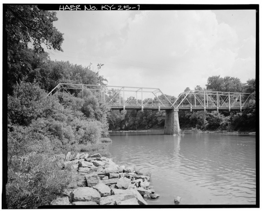
Every property in this county listed on the National Register of Historic Places, with the year it was listed and the federal nomination document.
| Photograph | Property | Type | Listed | Reference |
|---|---|---|---|---|
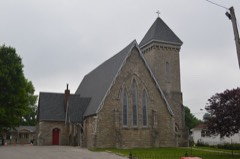 | Church of the Advent, Episcopal | building | 1978 | 78001339 |
 | Coleman-Desha Plantation | district | 1993 | 93000045 |
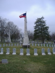 | Confederate Monument in Cynthiana | object | 1997 | 97000695 |
 | Cynthiana Commercial District | district | 1982 | 82001567 |
| Joel Fraizer House | building | 1983 | 83002786 | |
| Handy Farm | building | 2005 | 05001316 | |
 | Harrison County Courthouse | building | 1974 | 74000880 |
| Haviland House | building | 1983 | 83002787 | |
| John Hinkson House | building | 1983 | 83002788 | |
| Kimbrough-Hehr House | building | 1979 | 79000992 | |
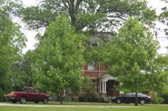 | William T. Lafferty House | building | 1980 | 80001538 |
| John Lair House | building | 1983 | 83002789 | |
| John McKee House | building | 1983 | 83002790 | |
| Samuel McMillan House | building | 1983 | 83002791 | |
| Monticello | building | 1974 | 74000881 | |
 | Poplar Hill | building | 1976 | 76000896 |
 | Wesley Roberts House | building | 1982 | 82001568 |
| Second Battle of Cynthiana Battlefield | site | 2002 | 02000914 | |
| Joseph Shawhan House | building | 1983 | 83002792 | |
| Smith House | building | 1983 | 83002793 | |
 | Spur Gasoline Station | building | 1987 | 87000647 |
| Stone House of Indian Creek | building | 1983 | 83002794 | |
| Stoney Castle | building | 1978 | 78001338 | |
| John Williams House | building | 1983 | 83002795 |
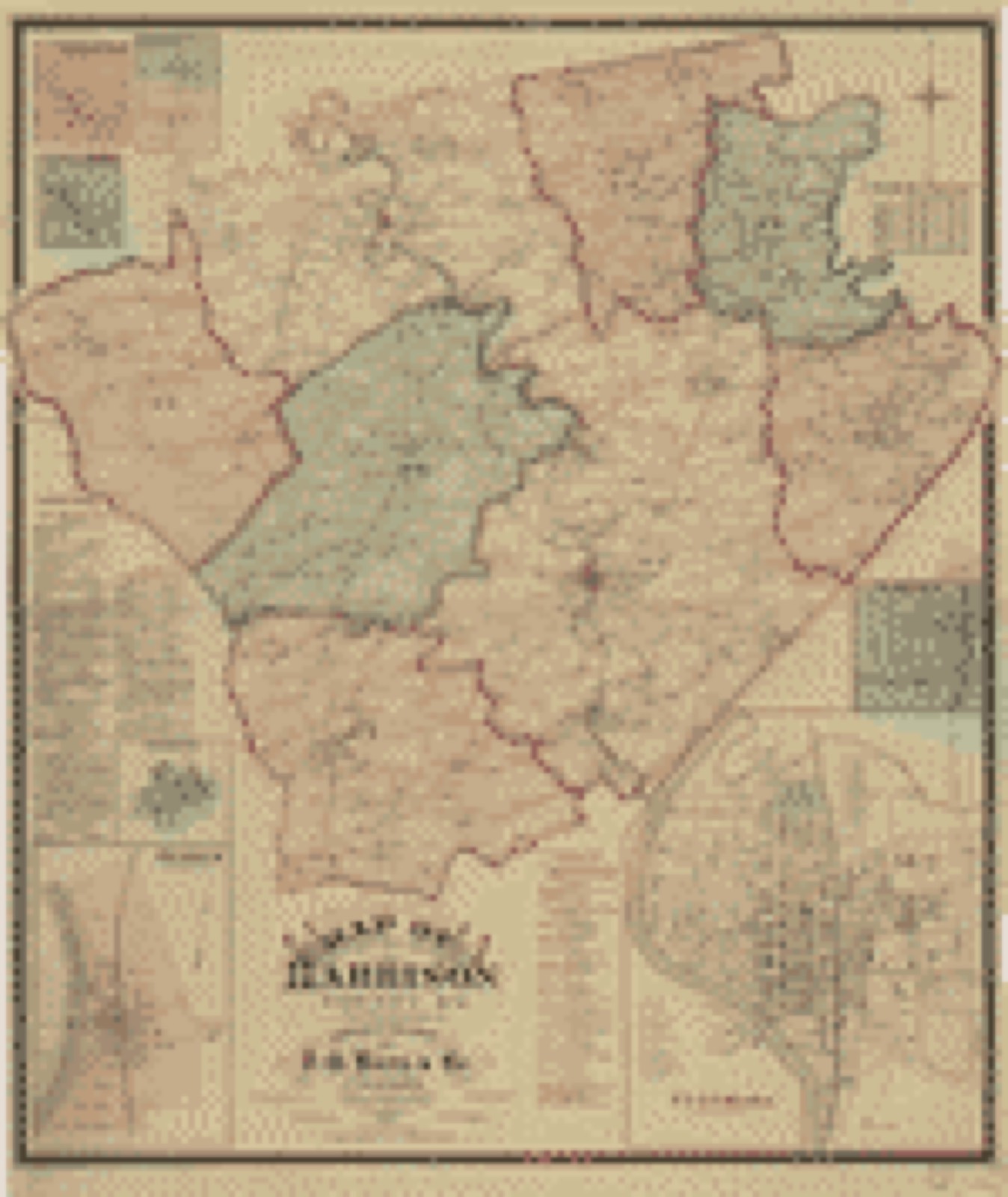
Drawn when these were printed as single large sheets: the town seen from the air, and the county divided into its farms with every owner named. Each opens the original at the Library of Congress.
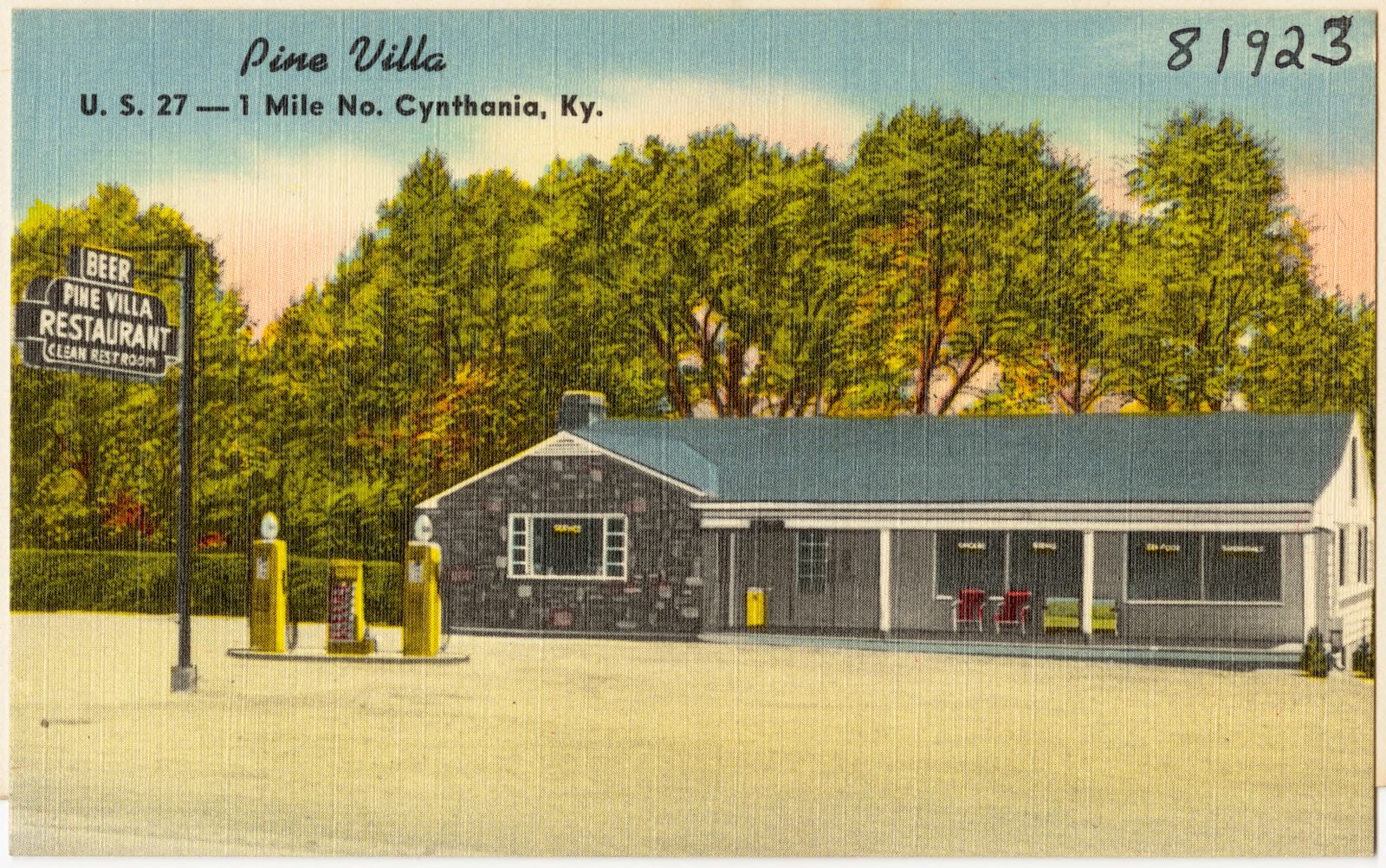
Selected from the Digital Public Library of America's 3 image records catalogued for this county. Every one shown here carries a public-domain status or a licence that permits reuse on a site that carries advertising; non-commercial, share-alike and restricted images are excluded. The selection is spread across the county's towns (at most eight per town), so no single institution's bulk upload crowds out the rest. Each opens the holding library's record, and the complete set at the Digital Public Library of America is one click away.
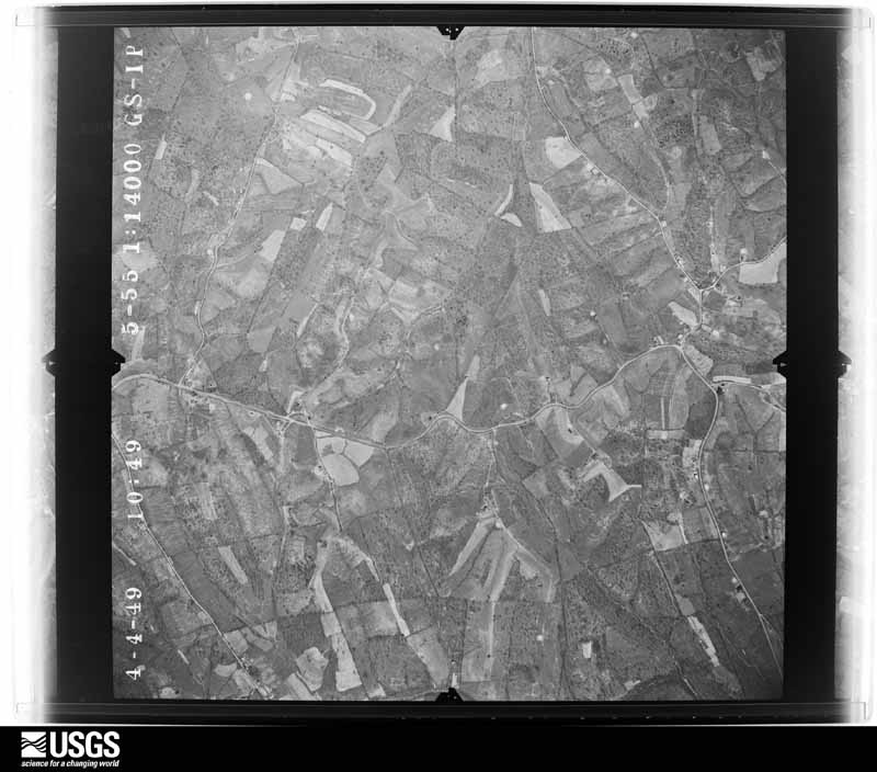
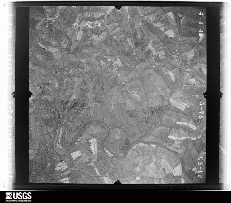
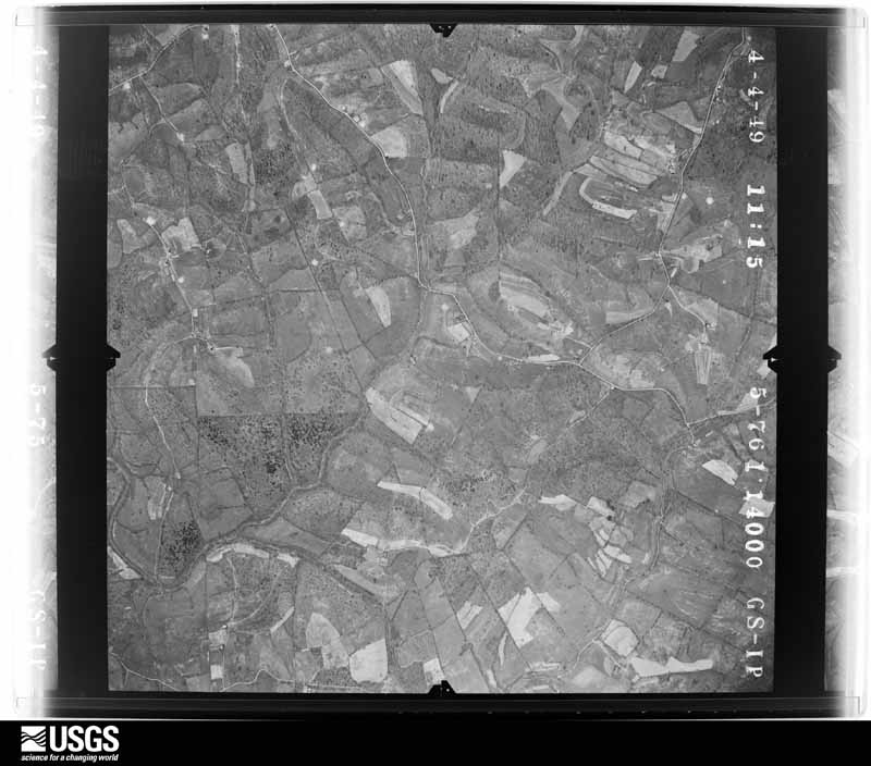
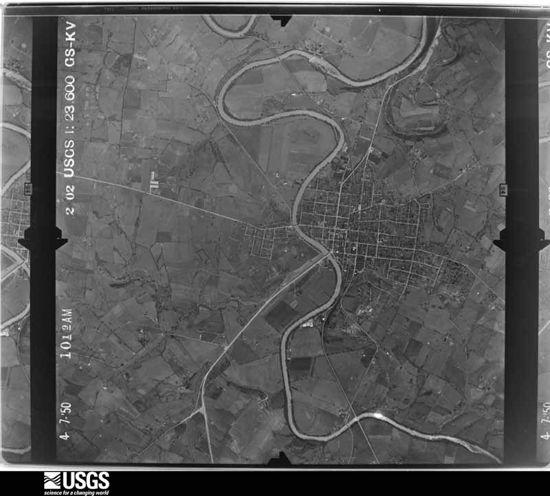
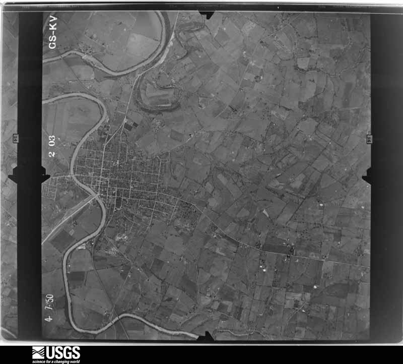
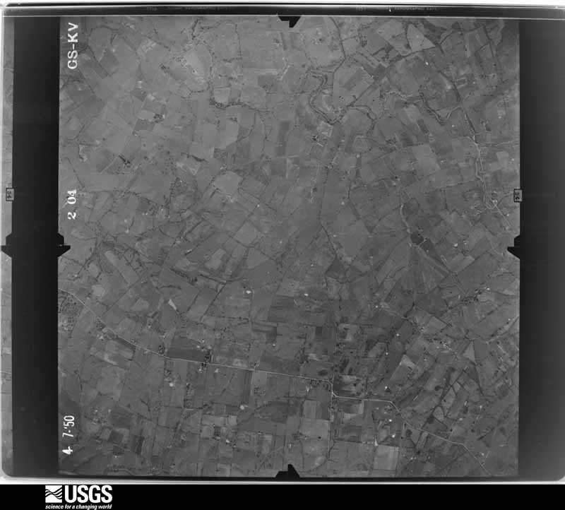
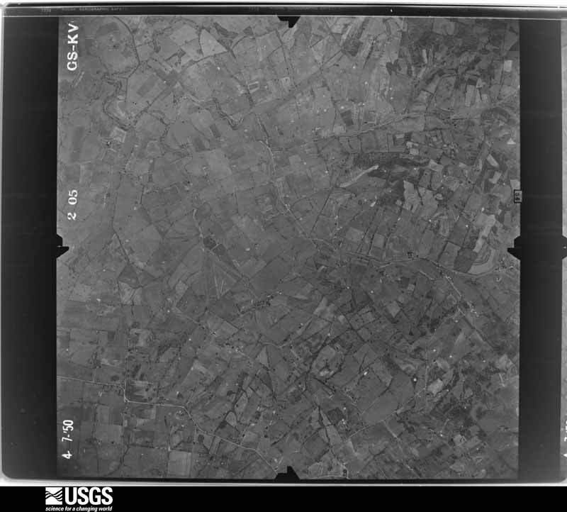
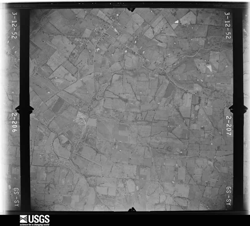
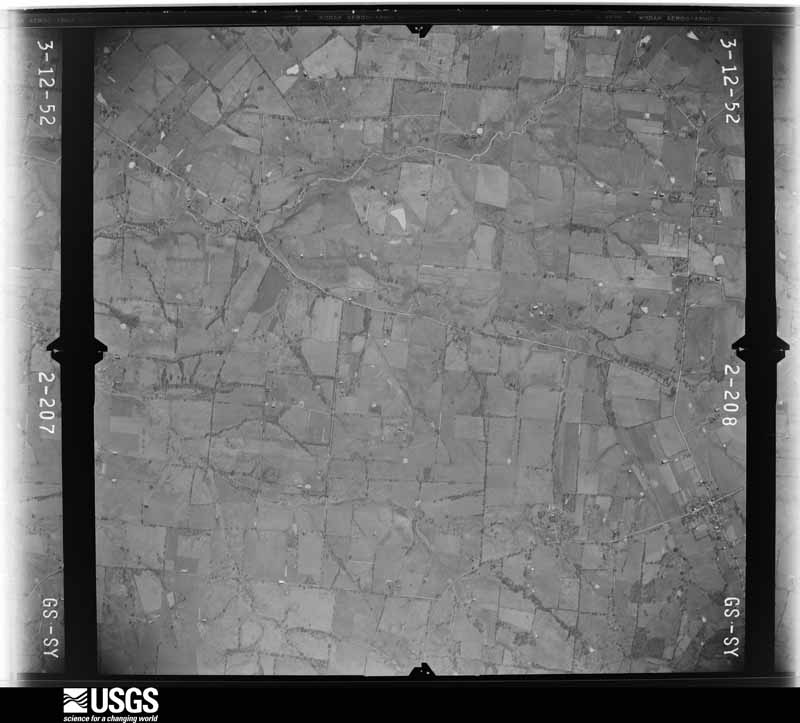
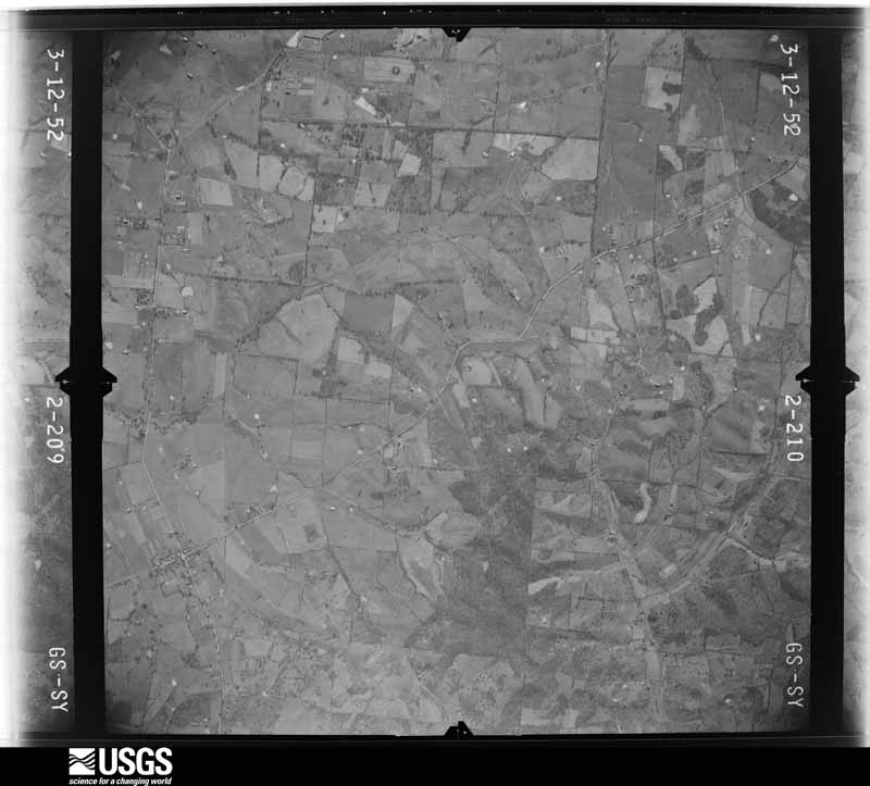
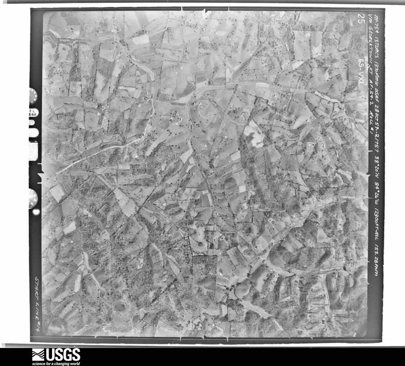
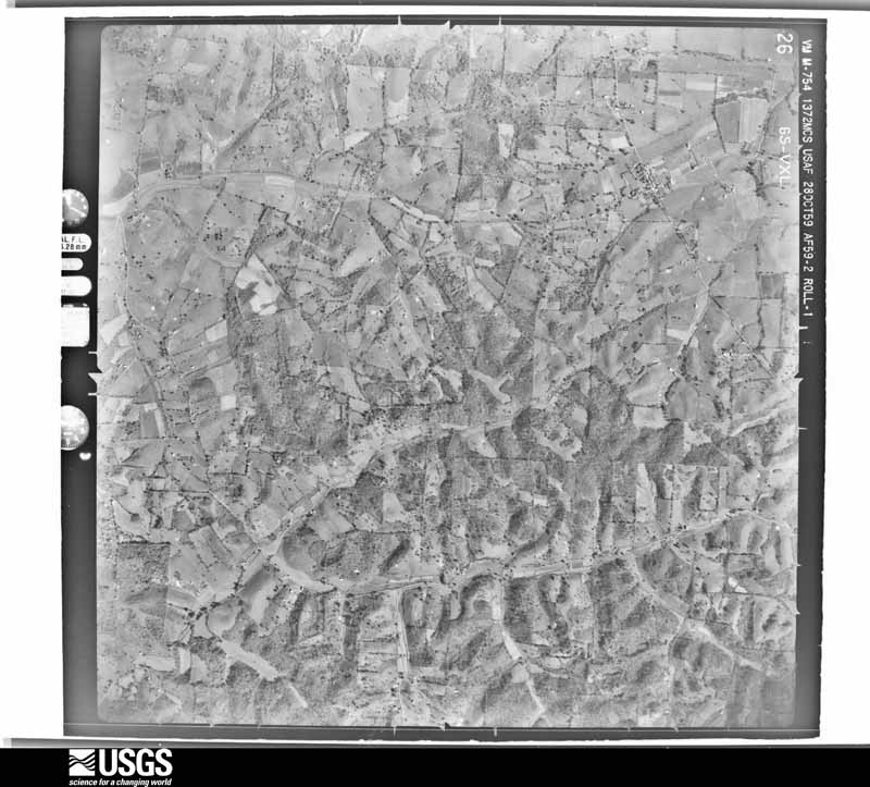
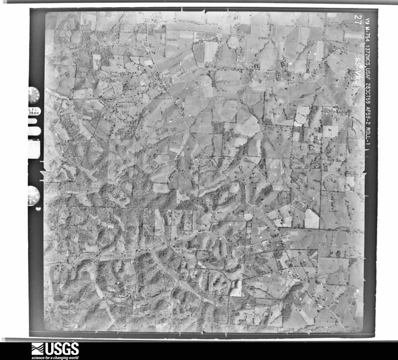
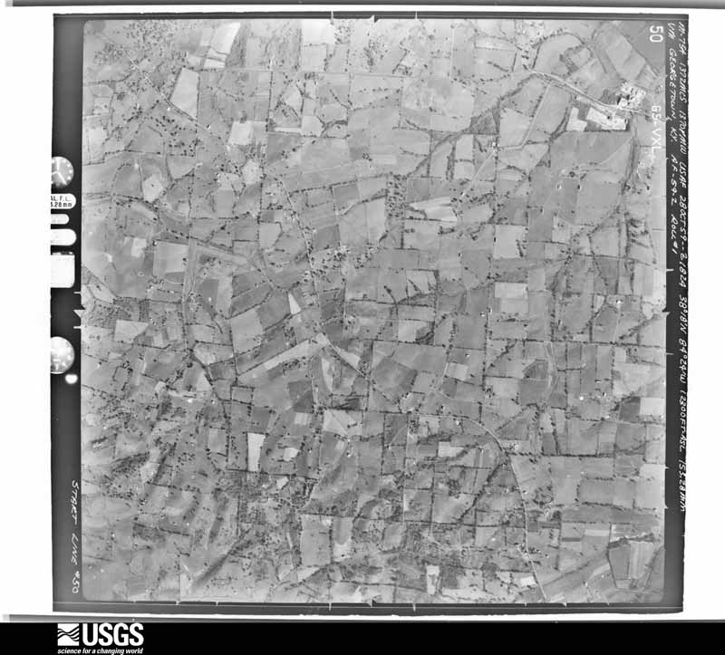
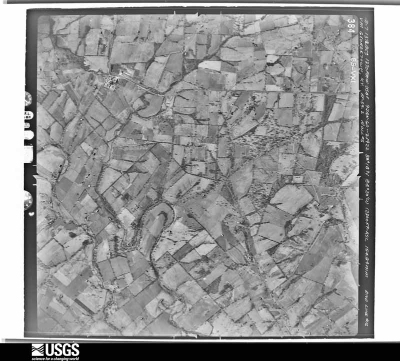
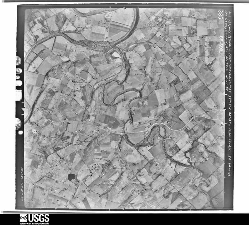
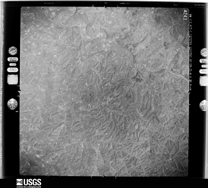
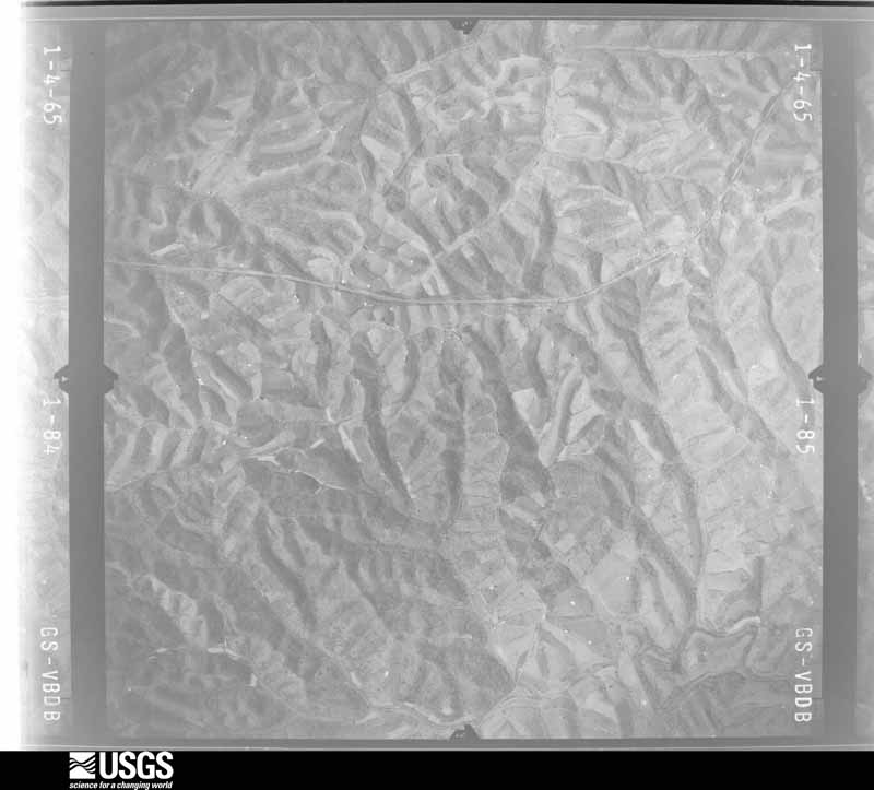
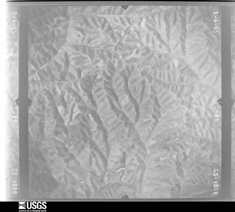
Flown by the U.S. Geological Survey between 1937 and 1989, the Aerial Photo Single Frames collection is the definitive mid-century view of the land: fields, roads and rivers as the camera saw them. The Survey holds 615 frames inside the rectangle that bounds this county; the 24 frames below were taken over the county itself, chosen across the decades of flights (at most four a year from that rectangle), so one flight cannot crowd out the rest. The full set is free to browse and download at EarthExplorer under the dataset Aerial Photo Single Frames.





The thermometers that kept this county's weather, and the gages that measured the flow of its streams, as the federal records hold them. The extremes below are measured values from those records, not estimates.
Who lived here in 1950, one enumeration district at a time, as the Census Bureau described each district. Each row opens its official National Archives result, with Population Schedules and ED Maps available there.
Every wildfire the federal occurrence database records inside this county: 5 of them, burning about 41 acres. None started naturally and 1 was recorded as arson. Each settlement page carries the fires within five miles of it.
| Reported cause | Fires |
|---|---|
| Debris and open burning | 3 |
| Missing data/not specified/undetermined | 1 |
| Arson/incendiarism | 1 |
The five largest, by the area the report gives. One of them was set deliberately.
| Date | Cause | Size | Reported by | Name on the report |
|---|---|---|---|---|
| 25 April 2009 | Debris and open burning | 25 acres | Kentucky Division of Forestry | not named |
| 8 March 2020 | Arson/incendiarism | 10 acres | Kentucky Division of Forestry | RAVEN CREEK |
| 29 March 2000 | Debris and open burning | 3.0 acres | Kentucky Division of Forestry | not named |
| 10 November 2020 | Debris and open burning | 2.0 acres | Kentucky Division of Forestry | COPPAGE PIKE FIRE |
| 18 March 2003 | Missing data/not specified/undetermined | 1.0 acres | Kentucky Division of Forestry | not named |
Every settlement page carries the fires within five miles of it - see the settlement index below.
The NOAA Storm Events Database holds 185 reports for this county, causing no deaths, 31 injuries and about $2,776,750 in recorded property damage. Each settlement page carries the reports that name it.
| Kind of event | Reports |
|---|---|
| Thunderstorm Wind | 113 |
| Flash Flood | 33 |
| Hail | 21 |
| Tornado | 8 |
| Flood | 8 |
| Lightning | 2 |
The most serious of them, by death, then injury, then recorded damage. The accounts are quoted exactly as the forecast office filed them.
| When | Event | Place named | Harm | What the report says |
|---|---|---|---|---|
| April 1974 | Tornado (F3) | not stated | 27 hurt, $25,000 | no account filed |
| March 2017 | Thunderstorm Wind | Oddville | 2 hurt, $300,000 | The Harrison County emergency manager reported a mobile home was destroyed due to severe thunderstorm winds. This resulted in 2 minor injuries. Another mobile home and a barn had its roofs blown off. There were numerous trees and utility poles down in the area. |
| February 2008 | Tornado (EF2) | Broadwell | 1 hurt, $500,000 | The tornado touched down near 812 Mt. Vernon Road, damaging a home and a barn at that location. Along Connersville Road, the tornado lifted the roofs off three homes and damaged three others. It also destroyed several barns and outbuildings, and snapped numerous hardwood trees. It damaged a few more barns and trees before lifting about a half mile southwest of Cynthiana. Several businesses in the city of Cynthiana had sign damage from 70 mph straight line winds. |
| March 2017 | Thunderstorm Wind | Poindexter | 1 hurt, $250,000 | The NWS in conjunction with Harrison County Emergency Management determined the area northeast of Cynthiana along Salem Pike had 70 to 80 mph wind damage. Besides trees being split and uprooted, a double-wide trailer was picked up off blocks and thrown 75 yards. A large deck structure on the front of the double-wide was thrown 40 to 50 yards to the east. There was 1 minor injury. Further east from the trailer was a large metal outbuilding that had roof and doors blown off. Several more trees were uprooted or split. One home had roof and siding damage. Another residence had their garage blown in, and a power pole was split and bent severely towards the east. A single family residence's front porch pillars were blown in. The other debris was blown 1/4 mile downwind. Peak winds were 80 mph. The duration of the thunderstorm wind damage event was 5 minutes. |
| June 2005 | Lightning | Kelat | $750,000 | Lightning struck the Benson United Methodist Church. The building caught fire and was a total loss. |
| October 2014 | Tornado (EF1) | Cynthiana | $250,000 | The tornado first touched down about a half mile north of Connersville Pike and a half mile west of Ammerman Pike, where parts of a corn field were flattened. The tornado then continued southeast, where it crossed Connersville Pike and snapped several hardwood trees.||After moving along Sea Biscuit Way, the tornado then veered in a more easterly direction, crossing US-62 and U.S. 27, south of their intersection. Two small outbuildings and a barn were destroyed along Sea Biscuit Way. Eyewitnesses reported two narrow tornadoes in proximity at the same time here. A farm just east|of Highway 62 had two large barns damaged. Two outbuildings and two sheds were also destroyed. The two small funnels had winds of 100 mph with widths of 50 to 75 yards each. Quarter size hail occurred also.||The tornado moved east causing extensive tree damage near US-27. At|2343 Highway US 27, 40 to 50 large hardwood and softwood trees were|uprooted and sheared off. This includes several very large oak|trees. One garage sustained significant roof damage. Damage was|greatest at this location with wind speeds estimated at 110 mph and|a width of 275 yards. Half dollar size hail occurred also.||The tornado then continued east where it caused some more tree|damage before lifting about 200 yards east of New Lair Road. |
| September 2018 | Flood | Cynthiana | $100,000 | The Pendleton County Emergency Manager reported that a Mexican restaurant in Cynthiana had 4 feet of water in it. Several other restaurants in the area were also flooded. |
| December 2013 | Tornado (EF1) | Breckinridge | $100,000 | A storm survey confirmed that an EF-1 tornado damaged numerous barns, garages and outbuildings along Dutch Chapel Road. Two homes along this road had significant roof damage. This area of concentrated damage was embedded in a much wider area of lighter damage caused by straight line winds across northern Harrison County. Residents along Dutch Chapel Road reported popping ears and a roaring noise embedded within driving rain and gusty winds associated with a squall line. |
| April 2017 | Thunderstorm Wind | Cynthiana | $50,000 | A NWS Storm Survey team found straight line wind damage to an old barn. Metal sheeting was blown 400 yards. There was also minor damage to Rohs Opera House in Cynthiana. |
| July 2016 | Thunderstorm Wind | Cynthiana | $50,000 | State officials reported a roof blown off a building on Ammerman Pike. |
| May 2006 | Thunderstorm Wind | Sunrise | $50,000 | A mobile home was rolled across a road in Sunrise. Trees were downed countywide. |
| July 2001 | Flash Flood | Countywide | $50,000 | Up to 8 inches of rain fell over Harrison County over about a 3 and a half hour period. Water covered Highway 36 in northwest Harrison County. Eight homes were damaged by flood waters near Gray's Run and Lee's Lick. Flooding was reported in Leesburg at 1000 EST. A few roads were closed around Leesburg at 1030 EST. |
| June 2015 | Thunderstorm Wind | Cynthiana | $30,000 | The Harrison County emergency manager reported that a barn was blown down on KY-36 1 mile west of Cynthiana. There was also another report of a tree across the roadway east of Cynthiana. |
| August 2009 | Lightning | Cynthiana | $30,000 | A barn burned on Renaker Road due to a lightning strike between Berry and Cynthiana. |
| April 2017 | Thunderstorm Wind | Cynthiana | $25,000 | Officials reported that severe thunderstorm winds blew a roof off a house on Spruce Drive and Kentucky State Highway 365. |
| July 2016 | Thunderstorm Wind | Cynthiana | $25,000 | State officials reported power lines down on West Pleasant Street. |
| August 2007 | Thunderstorm Wind | Cynthiana | $25,000 | Several trees were downed across the county. A few barns were damaged by high winds as well. |
| May 2020 | Flash Flood | Antioch Mills | $20,000 | A home near Snake Lick at US 27 North was flooded. |
| July 2015 | Thunderstorm Wind | Cynthiana | $20,000 | The Harrison County 911 call center reported that severe thunderstorm winds damaged a barn and outbuilding. |
| June 2014 | Thunderstorm Wind | Cynthiana | $20,000 | Thunderstorm winds damaged the roofs of both the water treatment plant and the Southern States Building. Several trees were downed across power lines in the Cynthiana area. |
| April 2018 | Thunderstorm Wind | Renaker | $15,000 | The Harrison County emergency manager reported the roof off of a barn on Casey Mill Road. |
| July 2015 | Thunderstorm Wind | Colbys Store | $15,000 | A picture was received that showed trees and power lines down across North Highway 27 as a result of severe thunderstorm winds. |
| July 2012 | Thunderstorm Wind | Cynthiana | $15,000 | The local emergency management reported numerous trees down near Cynthiana. The roof and rafters were removed from a barn at 330 Ammerman Pike. Some outbuildings were also damaged. |
| May 2020 | Flash Flood | Colbys Store | $10,000 | A car stalled in high water on Two Lick Road. |
| May 1996 | Tornado (F0) | Cynthiana | $10,000 | no account filed |
| June 2015 | Thunderstorm Wind | Connersville | $5,000 | The Harrison County emergency manager reported that severe thunderstorm winds destroyed an outbuilding with the debris blown into a nearby house. This damaged the house siding as well. |
| June 2015 | Thunderstorm Wind | Leesburg | $5,000 | The Harrison County Emergency Manager reported that a utility pole was snapped off the ground due to severe thunderstorm winds. |
| April 2007 | Thunderstorm Wind | Sunrise | $5,000 | An outbuilding was blown over. |
| May 2006 | Thunderstorm Wind | Cynthiana | $5,000 | Trees were downed in the city and along U.S. Highway 62. One tree in the city of Cynthiana was downed on a house. |
| April 2006 | Thunderstorm Wind | Cynthiana | $5,000 | Two businesses had windows blown out. Minor roof damage was reported. Trees were downed in the area. |
| April 2010 | Flash Flood | Boyd | $3,000 | The KY State EOC reported flash flooding along Snake Lick Creek just west of state highway 27 in northern Harrison county. One family was rescued as water approached several homes in a subdivision. |
| April 1996 | Thunderstorm Wind | Cynthiana | $3,000 | no account filed |
| June 2013 | Thunderstorm Wind | Leesburg | $2,000 | Local law enforcement reported several trees down in Leesburg. The local emergency manager also reported damage to a barn. |
| May 2006 | Thunderstorm Wind | Cynthiana | $2,000 | An auto dealership reported minor roof damage and some signs blown over. |
| May 1996 | Thunderstorm Wind | Countywide | $2,000 | no account filed |
| April 1996 | Thunderstorm Wind | Berry | $2,000 | no account filed |
| May 2015 | Thunderstorm Wind | Cynthiana | $1,000 | A Twitter report was received of a tree down on a covered deck just west of Cynthiana. |
| February 2009 | Thunderstorm Wind | Cynthiana | $1,000 | Shingles were blown off of a roof. |
| August 1997 | Thunderstorm Wind | Cynthiana | $500 | Several trees were down, one on a pickup truck. |
| June 1979 | Tornado (F2) | not stated | $250 | no account filed |
| April 2026 | Thunderstorm Wind | Venus | - | There was roof damage to a home off of Pedro Pike. |
| April 2026 | Thunderstorm Wind | Cynthiana | - | A large limb fell through the roof of an outbuilding on Reynolds Avenue. |
| April 2026 | Thunderstorm Wind | Broadwell | - | Several large trees fell with one falling across a fence line. |
| April 2025 | Tornado (EF1) | Rutland | - | A storm damage team surveyed tornado damage in Harrison County, Kentucky near Berry and Antioch from the storms on April 3rd, 2025. Damage was first observed to a farm along Kentucky Highway 36 West near Casey Mill Road where a barn had some damage to the doors, roof and siding. The tornado continued along Casey Mill Road where a travel trailer was rolled upside down, but remained intact, and a residence had roof damage to one side of the home. Evidence of a tornadic circulation was noted here with boards impaled into the back side of the home from where the roof was torn off. The only possible explanation for this would be rotation, or if the boards came from a structure upstream. ||The storm continued near Berry where several trees were uprooted. The storm continued across Eureka and Petty Roads where a camper was flipped and a barn was leaning to one side after the wind occurred. Just to the west of US Highway 27, and south of Antioch, a barn was leveled from the tornado. The maximum wind along the |path of this tornado was between 95 and 100 mph. |
| April 2025 | Thunderstorm Wind | Stringtown | - | A resident reported five trees were down on his property off of Stringtown Road, near the Harrison/Grant County line. |
| April 2025 | Hail | Colville | - | One inch hail was reported along Kentucky 392, east of Cynthiana. |
| February 2024 | Thunderstorm Wind | Leesburg | - | A large tree limb fell and was blocking one lane of Kentucky Highway 1842 North. |
| May 2024 | Thunderstorm Wind | Cynthiana | - | Trees were downed by strong winds in Cynthiana. |
| January 2023 | Flash Flood | Sylvandell | - | Water was observed over roadways in multiple locations across Harrison County. |
| January 2023 | Hail | Broadwell | - | Nickel-sized hail was observed at a gas station southwest of Cynthiana. |
| April 2023 | Thunderstorm Wind | Hells Halfacre | - | A roof was blown off of a barn. All the debris blew to the northeast corner of the owner's property. |
| July 2023 | Flash Flood | Cynthiana | - | Several roads were closed or became impassable due to flooding from heavy rainfall across Harrison County, including U.S. Route 62 in Cynthiana. |
| July 2023 | Flash Flood | Claysville | - | Water was observed over the roadway on U.S. Route 62 between Oddville and Claysville. |
| May 2022 | Hail | Berry | - | Three inch diameter hail was observed in the Berry community in northern Harrison County. |
| May 2022 | Flash Flood | Cynthiana | - | Flooding caused the closure of River Road in Cynthiana. |
| June 2022 | Thunderstorm Wind | Cynthiana | - | There was roof damage to Smiser building in Cynthiana. |
| June 2022 | Thunderstorm Wind | Sunrise | - | A tree was down on State Highway 1284 West. |
| June 2022 | Thunderstorm Wind | Colville | - | There was a tree down at Shady Nook Pike and Shaw Lane. |
| June 2022 | Thunderstorm Wind | Poindexter | - | A tree was down on US 62 East. |
| June 2022 | Thunderstorm Wind | Berry | - | A tree was down on State Road 1032 West. |
The Survey's mineral resources record lists 2 workings inside this county. None of them still produces: all are closed or unrecorded. Each settlement page carries the workings within five miles of it.
| Commodity | Workings |
|---|---|
| Lead | 1 |
| Zinc, Barium-Barite | 1 |
| Stone, Crushed/Broken | 1 |
The least common of them first, because a county's hundredth gravel pit says nothing its first ten did not.
| Where | Site | Commodity | Status | Recorded |
|---|---|---|---|---|
| Cynthiana Quarry | Stone, Crushed/Broken | Past Producer | ||
| Hoggin Veins | Lead, Zinc, Barium-Barite | Past Producer | Barite, Galena, Sphalerite |
The part of each published history that is about one town: 1 chapter, each reproduced complete.
| Town | Chapter | From | Length |
|---|---|---|---|
| Cynthiana | History | Chronicles of Cynthiana and Other Chronicles (1894) | 62,538 words in 4 parts |
Named settlements recorded in the Geographic Names Information System, each with the topographic sheets covering it. Villages, hamlets and abandoned places alike. Each is shown with the nearest named watercourse or landform and the survey quadrangle it falls on. The 1 place that was also surveyed for fire insurance comes first, with the number of atlases and photographs held for them.
Cynthiana census division · 41031 · On Grays Run · Cynthiana quadrangle
10 sheets, 1929 to 1986
Fire insurance: 8 atlases
Berry census division · 41003 · Near Moonshine Hollow · Kelat quadrangle
11 sheets, 1930 to 1986
Cynthiana census division · 41031 · On Grays Run · Cynthiana quadrangle
10 sheets, 1929 to 1986
Berry West census division · 41031 · On North Fork Twin Creek · Breckinridge quadrangle
7 sheets, 1929 to 1986
Cynthiana census division · 41031 · On Pretty Branch · Shady Nook quadrangle
6 sheets, 1952 to 1986
Cynthiana census division · 41031 · On Huskens Run · Shawhan quadrangle
8 sheets, 1929 to 1986
Berry census division · 41031 · On Beaver Creek · Claysville quadrangle
7 sheets, 1952 to 1986
Berry West census division · 41003 · On Raven Creek · Berry quadrangle
9 sheets, 1930 to 1986
Cynthiana census division · 40370 · On Little Mill Creek · Breckinridge quadrangle
7 sheets, 1929 to 1986
Berry West census division · 41031 · On Mill Creek · Cynthiana quadrangle
10 sheets, 1929 to 1986
Cynthiana census division · 41031 · Shady Nook quadrangle
6 sheets, 1952 to 1986
No longer a settlement
Cynthiana census division · 41031 · On Edgewater Branch · Shawhan quadrangle
8 sheets, 1929 to 1986
Berry West census division · 41003 · On Kales Branch · Breckinridge quadrangle
7 sheets, 1929 to 1986
Berry census division · 41031 · On Stratton Branch · Cynthiana quadrangle
10 sheets, 1929 to 1986
Berry West census division · 41031 · On Kales Branch · Breckinridge quadrangle
7 sheets, 1929 to 1986
Berry census division · 41031 · On Little Richland Creek · Claysville quadrangle
7 sheets, 1952 to 1986
Cynthiana census division · 41031 · On Pretty Branch · Shady Nook quadrangle
6 sheets, 1952 to 1986
Cynthiana census division · 41031 · On James Run · Shady Nook quadrangle
6 sheets, 1952 to 1986
Cynthiana census division · 41031 · On North Fork Twin Creek · Breckinridge quadrangle
7 sheets, 1929 to 1986
No longer a settlement
The vanished settlements of Harrison County: the places named above that are no longer on the map.
10 topographic sheets and 8 fire insurance atlases, 1886 to 1942
The complete index, with nothing left out. Each of these is a separate record with its own page: a federal survey report, or the case file that argued a property on to the National Register. Both are public domain and reproduced word for word.
The vanished settlements of Harrison County, the places these records name that are no longer on the map.