 Block
From the record
13 National Register listings published here.
Sources: the National Register database, National Park Service
46 topographic sheets and 12 fire insurance atlases across 2 places.
13 National Register listings published here.
Sources: the National Register database, National Park Service
Every property in this county listed on the National Register of Historic Places, with the year it was listed and the federal nomination document.
| Photograph | Property | Type | Listed | Reference |
|---|---|---|---|---|
| Callaway-Goodridge-Robertson Farm | district | 2010 | 09001308 | |
| Confederate Soldiers Martyrs Monument in Eminence | object | 1997 | 97000692 | |
 | Crutcher House | building | 1980 | 80001550 |
| Eminence Historic Commercial District | district | 1979 | 79000994 | |
| Isham Henderson House | building | 1987 | 87000156 | |
 | Henry County Courthouse, Jail, and Warden's House | building | 1977 | 77000621 |
| Samuel Hieatt House | building | 1982 | 82001569 | |
| Highlands | building | 1979 | 79000995 | |
| New Castle Historic Commercial District | district | 2016 | 16000495 | |
| Robert Ricketts House | building | 1978 | 78001342 | |
| Robert Ricketts House | building | 1978 | 78001342 | |
| Thomas Smith House | building | 1978 | 78001343 | |
| Thompson House | building | 1987 | 87000567 |
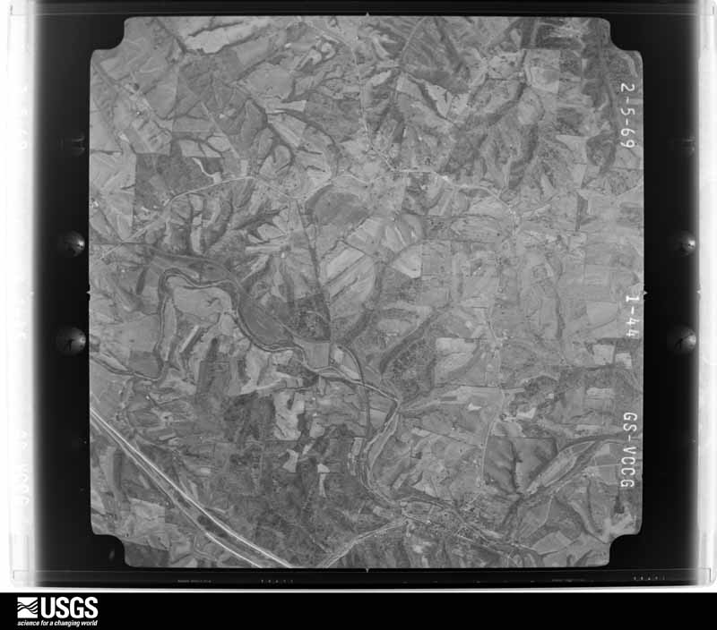
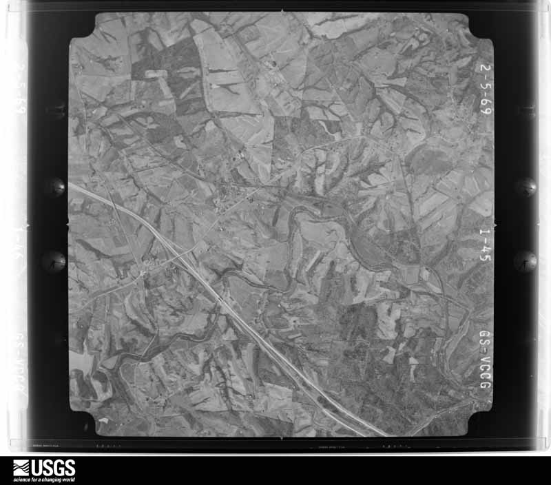
Flown by the U.S. Geological Survey between 1937 and 1989, the Aerial Photo Single Frames collection is the definitive mid-century view of the land: fields, roads and rivers as the camera saw them. The Survey holds 776 frames inside the rectangle that bounds this county; the 24 frames below were taken over the county itself, chosen across the decades of flights (at most four a year from that rectangle), so one flight cannot crowd out the rest. The full set is free to browse and download at EarthExplorer under the dataset Aerial Photo Single Frames.
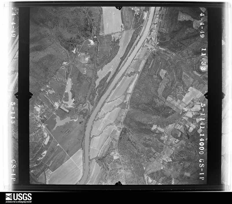
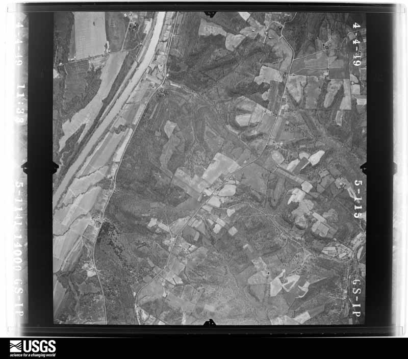
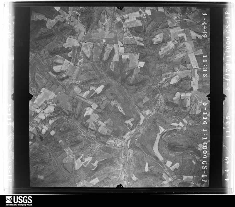
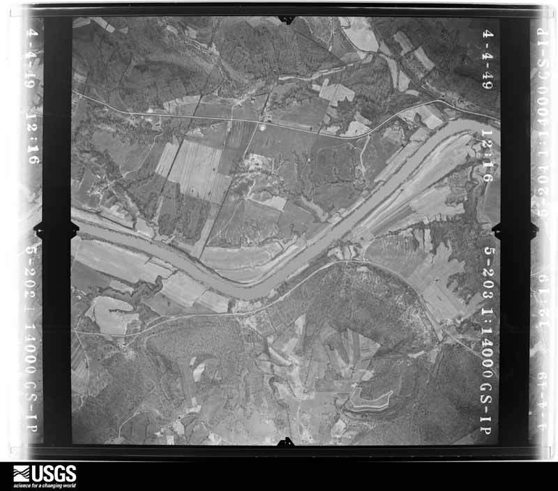
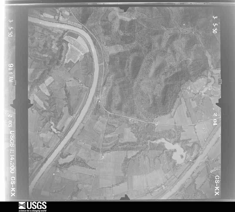
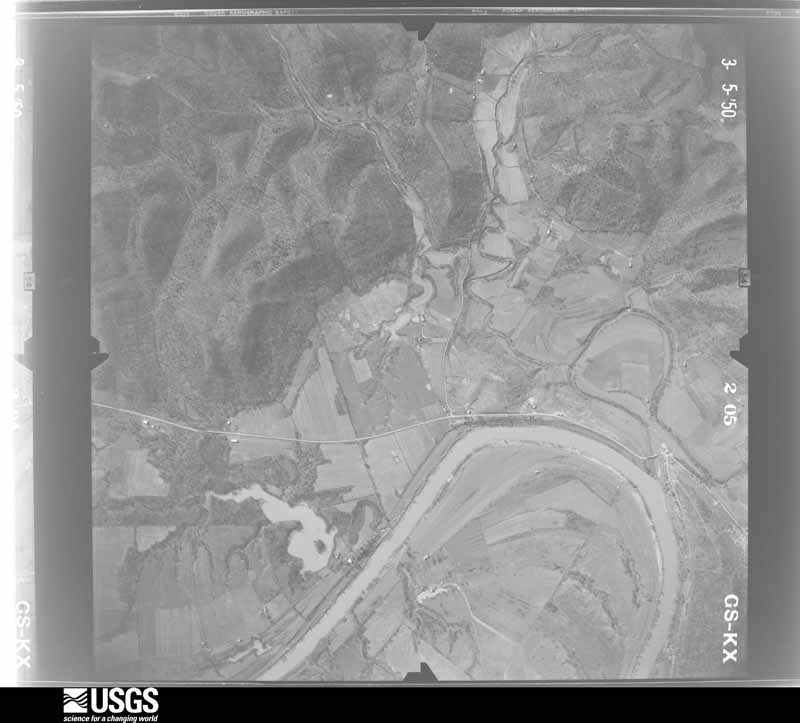
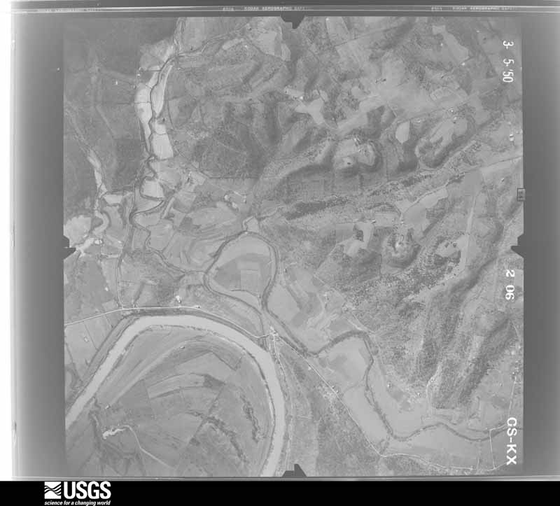
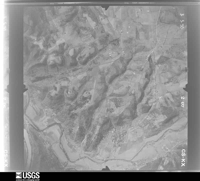
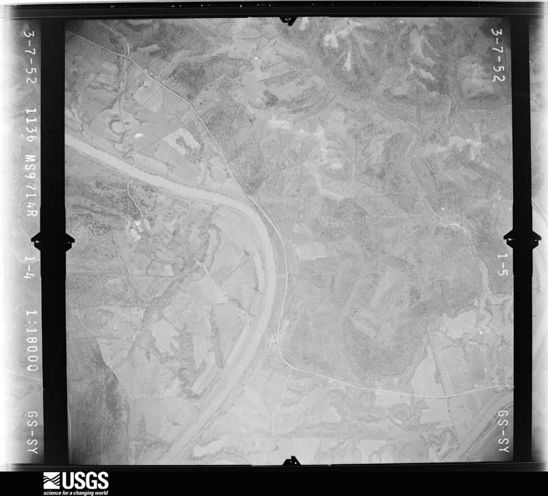
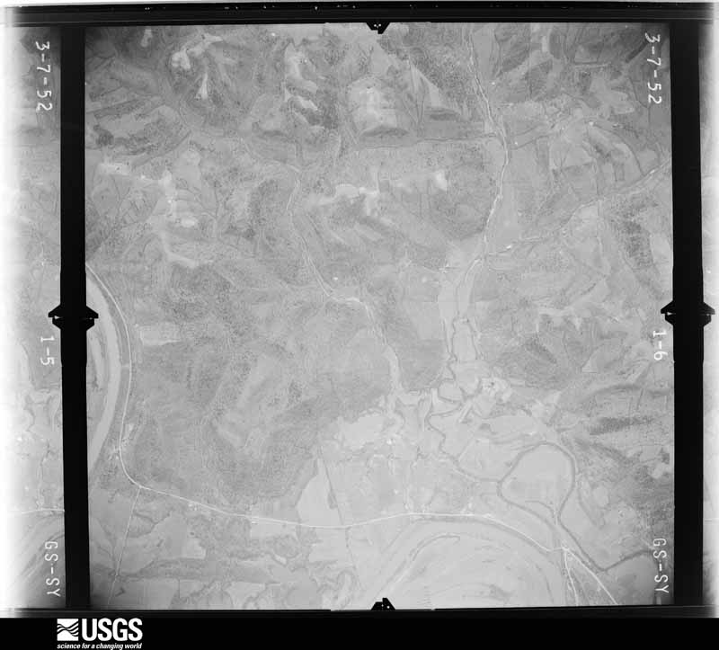
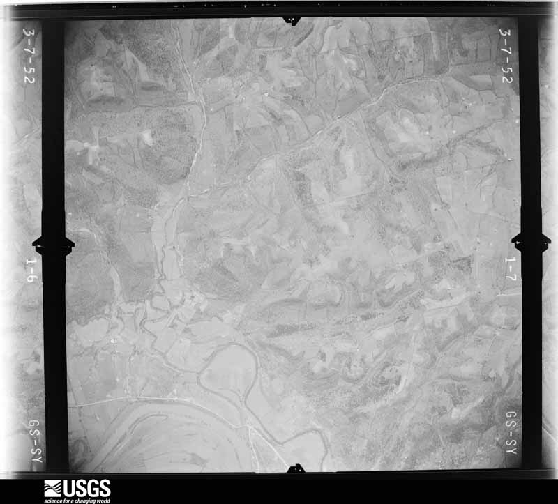
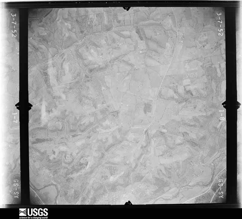


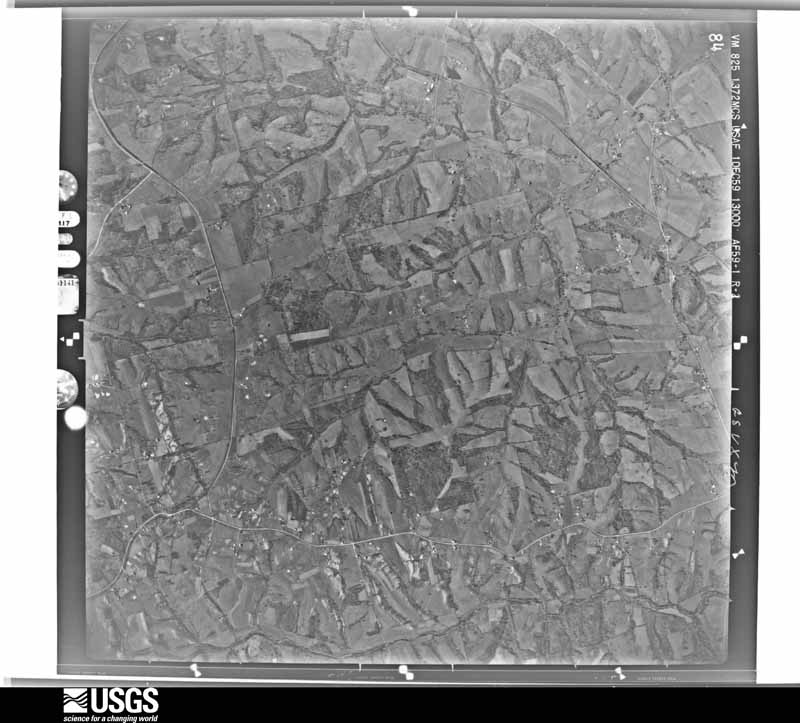
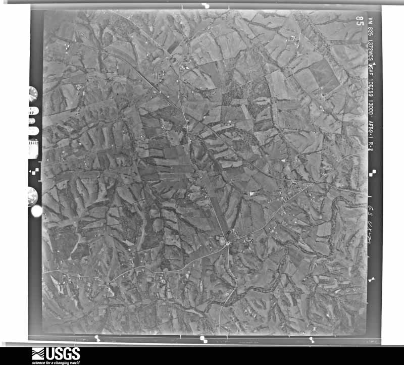
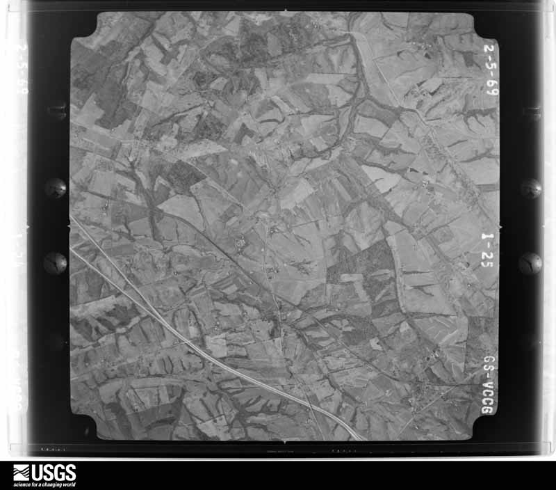
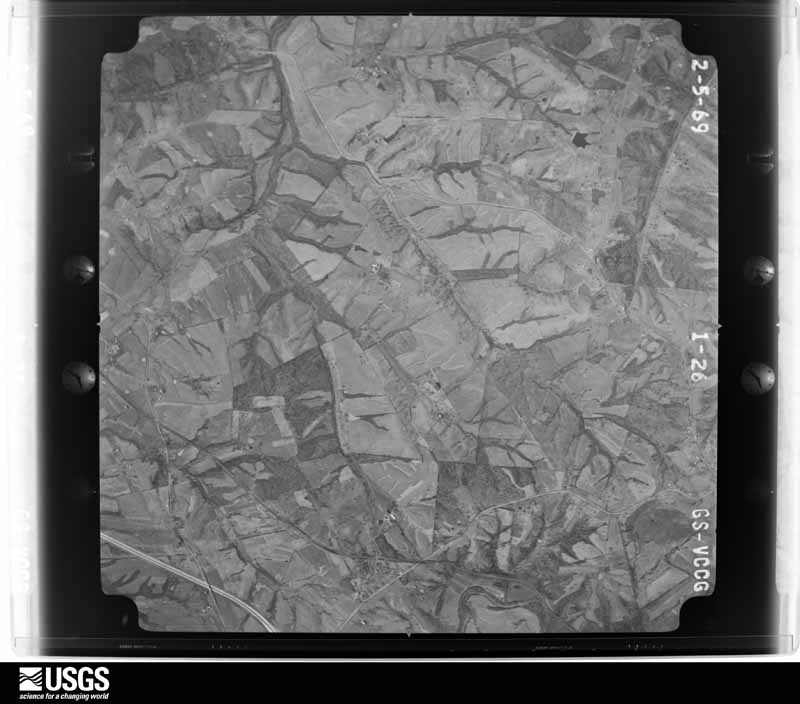




The thermometers that kept this county's weather, and the gages that measured the flow of its streams, as the federal records hold them. The extremes below are measured values from those records, not estimates.
Who lived here in 1950, one enumeration district at a time, as the Census Bureau described each district. Each row opens its official National Archives result, with Population Schedules and ED Maps available there.
Every wildfire the federal occurrence database records inside this county: 21 of them, burning about 227 acres. 1 started naturally and 1 was recorded as arson. Each settlement page carries the fires within five miles of it.
| Reported cause | Fires |
|---|---|
| Debris and open burning | 7 |
| Recreation and ceremony | 6 |
| Missing data/not specified/undetermined | 5 |
| Arson/incendiarism | 1 |
| Natural | 1 |
| Railroad operations and maintenance | 1 |
The five largest, by the area the report gives. One of them was set deliberately.
| Date | Cause | Size | Reported by | Name on the report |
|---|---|---|---|---|
| 4 March 2009 | Debris and open burning | 97 acres | Kentucky Division of Forestry | not named |
| 16 March 2003 | Missing data/not specified/undetermined | 26 acres | Kentucky Division of Forestry | not named |
| 22 March 2014 | Recreation and ceremony | 25 acres | Kentucky Division of Forestry | QUAIL RUN |
| 21 February 2001 | Debris and open burning | 20 acres | Kentucky Division of Forestry | not named |
| 28 March 2001 | Debris and open burning | 15 acres | Kentucky Division of Forestry | not named |
| 25 November 1997 | Debris and open burning | 8.0 acres | Kentucky Division of Forestry | not named |
| 29 March 1999 | Debris and open burning | 5.0 acres | Kentucky Division of Forestry | not named |
| 24 March 2001 | Arson/incendiarism | 4.0 acres | Kentucky Division of Forestry | not named |
Every settlement page carries the fires within five miles of it - see the settlement index below.
The NOAA Storm Events Database holds 214 reports for this county, causing 1 death, 46 injuries and about $7,027,500 in recorded property damage. Each settlement page carries the reports that name it.
| Kind of event | Reports |
|---|---|
| Thunderstorm Wind | 118 |
| Hail | 52 |
| Flash Flood | 18 |
| Tornado | 17 |
| Flood | 7 |
| Lightning | 2 |
The most serious of them, by death, then injury, then recorded damage. The accounts are quoted exactly as the forecast office filed them.
| When | Event | Place named | Harm | What the report says |
|---|---|---|---|---|
| April 1974 | Tornado (F3) | not stated | 1 killed, 20 hurt, $2,500,000 | no account filed |
| April 1974 | Tornado (F1) | not stated | 18 hurt, $25,000 | no account filed |
| April 1996 | Thunderstorm Wind | Drennon | 3 hurt, $15,000 | no account filed |
| May 2004 | Tornado (F2) | Smithfield | 2 hurt, $2,500,000 | The tornado first touched down IN an open area east of Smithfield in southwest Henry County. It then moved east and crossed highway 55 north of Eminence. The tornado reached its maximum intensity as it moved between U.S. 421 and the Eminence-Point Pleasant Road. The tornado finally crossed Sweeney Lane and weakened or lifted. South of the tornado path, straight line winds caused some structural damage along with widespread tree damage. Twenty-five homes were destroyed in the storm, and 326 others received some degree of damage. |
| April 2019 | Thunderstorm Wind | Lacie | 2 hurt, $15,000 | Two children were on their way to school driving east of Campbellsburg on Bishops Lane when a tree blew down in front of their car. The driver stopped the vehicle, so they wouldn't hit the tree. After stopping, another tree blew down on their vehicle. The two children had to be rescued by the fire department. After the crash, one child was wearing a neck brace due to a neck injury. The other child had an ongoing headache. |
| February 2011 | Tornado (EF3) | Bellview | 1 hurt, $500,000 | A NWS storm survey confirmed an EF-3 tornado with wind speeds of up to 140 mph in Henry county. The tornado touched down just to the southwest of KY 1899 (Mulberry Pike), crossing into Springhill Estates subdivision. Two homes were destroyed here along with three outbuildings. Trees were uprooted and snapped. The tornado then weakened as it traveled across KY 1359. Fifteen power poles were blown down along the highway. One barn was destroyed and another had the roof blown off. The tornado continued across KY 22 where trees were blown down and one outbuilding was damaged. The tornado lifted near Drennon Creek. |
| June 1990 | Tornado (F3) | not stated | $250,000 | no account filed |
| April 2017 | Thunderstorm Wind | Eminence | $200,000 | Local broadcast media reported that severe thunderstorm winds blew off a roof from a modular home. Four to five barns were destroyed. A mobile home was destroyed near Watkins Lane. Numerous trees were downed, and several boards were peeled off a fence. |
| February 2008 | Thunderstorm Wind | Sulphur | $150,000 | Straight line winds blew the roof off a home. One business and a mobile home had extensive damage. Several mobile homes received some minor damage. Numerous trees and power lines were downed. |
| March 2017 | Tornado (EF1) | Turners Station | $100,000 | A NWS damage survey team in conjunction with Justin Hilliard-Remote Aerial LLC concluded that an EF-1 tornado touched down 2 miles north of Campbellsburg, KY, traveled 1 mile (crossing I-71 and overturning a truck), and then lifted 2.2 miles NE of Campbellsburg. The most significant damage occurred on Jones Ln where 100 mph winds completely destroyed a couple of large barns, along with other small outbuildings. In addition, a large grain bin was demolished, and an anchored mobile home was pushed off its foundation on the north side of the damage path. A large debris field was scattered 200-300 yards downwind. East of I-71, the tornado damaged more outbuildings, and snapped trees. After destroying another older barn, the tornado ended just east of Highway 55 where numerous softwood trees were snapped and uprooted. Very strong convergence was noted in the damage. Also of note, were several instances of straight line wind damage feeding into the main circulation from the south. These wind speeds were estimated at 70-80 mph. We would like to thank Justin Hilliard-Remote Aerial LLC for aerial drone photos. |
| April 2017 | Tornado (EF1) | Bellview | $100,000 | The National Weather Service surveyed a small tornado path in Henry County. There were also areas of wind and hail damage along US 421. The first evidence of tornado damage was just south of US 421 where the tornado passed between two farms. Barns on either side of the path were damaged with the debris thrown clockwise which showed an anticyclonic rotation. Also, a nearby houses siding was severely damaged by hail, with witnesses saying the hail was several inches deep. The tornado crossed US 421 and continued northeast. The last evidence of a tornado was at a house on Point Pleasant Road. The tornado blew in a garage door and caused siding damage again due to hail. |
| February 2018 | Flash Flood | Campbellsburg | $85,000 | Numerous county roads over-topped by swift moving water, resulting in washed out asphalt and culverts, and land slides. |
| March 2017 | Thunderstorm Wind | Turners Station | $75,000 | Local Fire Department reported that several barns sustained structural damage or were destroyed due to severe thunderstorm winds. There was also major roof damage on newer construction homes along with large uprooted trees. The highest concentration of damage was on Jones Road near State Road 55. |
| April 2006 | Thunderstorm Wind | Countywide | $75,000 | In Campbellsburg, a lumber company building was destroyed. Several homes in the area received roof damage. Trees and power lines were down throughout the county. |
| June 1995 | Thunderstorm Wind | Eminence | $50,000 | Thunderstorm winds downed trees and damaged a car and a house. |
| July 1994 | Thunderstorm Wind | Campbellsburg | $50,000 | The state police reported that two barns were demolished three miles south of Campbellsburg. |
| February 1993 | Tornado (F0) | not stated | $50,000 | A small tornado touched down near Port Royal in northern Henry County. Several small barns and a shed were destroyed. |
| May 2016 | Thunderstorm Wind | Smithfield | $40,000 | A Henry County fire department official reported that numerous trees were down along with some structural damage to barns, roofs, homes and outbuildings. |
| April 2017 | Lightning | Port Royal | $30,000 | The Henry County COOP Observer reported a barn struck by lightning, resulting in minor damage. |
| September 1992 | Tornado (F1) | not stated | $25,000 | no account filed |
| November 1992 | Tornado (F0) | not stated | $25,000 | no account filed |
| July 1971 | Tornado (F2) | not stated | $25,000 | no account filed |
| May 2019 | Thunderstorm Wind | North Pleasureville | $20,000 | The emergency manager reported that a house had roof damage, a barn's doors blew off, and trees were blown down. |
| May 1998 | Thunderstorm Wind | Franklinton | $20,000 | no account filed |
| May 1998 | Thunderstorm Wind | Franklinton | $20,000 | no account filed |
| April 2019 | Thunderstorm Wind | Campbellsburg | $10,000 | A small barn was damaged near Campbellsburg, Kentucky. |
| April 2019 | Thunderstorm Wind | Smithfield | $10,000 | A CO-OP observer reported that trees were down, and structural damage was near East Smithfield Road and Giltner Road. |
| June 2014 | Lightning | Pleasureville | $10,000 | The Pleasureville Fire Department reported that lightning started a fire that burned down a barn. |
| May 2005 | Flash Flood | Countywide | $10,000 | Numerous roads were blocked or closed by high water. Vehicles were trapped by flood waters, but no injuries were reported. |
| August 2003 | Flash Flood | New Castle | $10,000 | A car was washed into a stream adjacent to Hillsboro Road two miles northwest of New Castle. Two to three feet of water covered the road. Other roads were flooded and impassable near Pendleton. |
| February 2002 | Hail | Campbellsburg | $10,000 | Cars were dented by hail. |
| February 2000 | Flash Flood | New Castle | $10,000 | High school flooded |
| March 2012 | Thunderstorm Wind | Turners Station | $5,000 | The mesocyclone of a supercell thunderstorm moved across far northern Henry County. A National Weather Service survey observed several large limbs down and a whole row of power poles leaning across Bishops Lane east of Campbellsburg. |
| November 1992 | Tornado (F0) | not stated | $2,500 | no account filed |
| July 2009 | Thunderstorm Wind | New Castle | $2,000 | Trees downed in New Castle. |
| July 2009 | Thunderstorm Wind | Sligo | $2,000 | Trees downed along Highway 42 on the Oldham County Line. |
| October 2014 | Hail | Eminence | $1,000 | Local media reported that near Eminence, 1.75 inch hail cracked the windshield of a car. |
| April 2026 | Thunderstorm Wind | Smithfield | - | There were trees down in Smithfield. |
| March 2025 | Hail | Pendleton | - | Penny sized hail was observed near Pendleton. |
| February 2024 | Tornado (EF1) | Port Royal | - | NWS Louisville conducted a storm damage survey near and in the|town of Port Royal and determined an EF-1 tornado with 90mph|winds impacted the community. The tornado first touched down east|of Gullion Branch Road and caused scattered tree damage. Damage in|these areas consisted of snapped tree trunks and broken limbs.|The tornado then moved into the town of Port Royal and did the most|significant damage near Port Royal Road. A pole barn was|completely destroyed, and its debris was carried more than a|quarter mile to the ENE. Several other structures had roof and|siding damage. Several trees were snapped or sheared apart, with|roof debris wrapping around some of the trees. Tree debris was in|a convergent pattern, with most of it pointing towards the SE to |NE. Nearby vehicles had mud splatter from the|tornado as it tore through that portion of the town. One vehicle|was picked up and moved several feet and turned 90 degrees. ||The tornado then pushed east of Port Royal Road and mainly |impacted trees. The observed damage was consistent with high end |EF0 to low end EF1 damage. The tornado then lifted in a field as |damage could no longer be observed by drone to the east. |
| April 2024 | Tornado (EF1) | Jericho | - | The National Weather Service in Louisville confirmed an EF1 tornado in south central Henry County starting near Jericho and ending southeast of New Castle.||The tornado touched down near the intersection of state routes 153 and 712. Keepers Restaurant had roof damage, a travel trailer moved 15 yards, and many boards were impaled into the ground. There were extensive topped and uprooted trees behind the Dollar General. Winds were 90 mph, EF1, with a width of 125 yards. ||The tornado destroyed a double wide mobile home, then snapped and uprooted trees along Whitaker Lane. The mobile home was loosely anchored, and the family had heard the NWS tornado warning. Together with other family members next door, they all went to a well constructed home nearby and everyone survived! Winds increased to 110 mph, EF1, with a width of 175 yards. ||The tornado did plenty of topped and uprooted tree damage along Bates Lane and Hieatt Lane over to Jackson Creek. Most of this damage was 80-85 mph, EF1, with a width of 125 mph, but one barn had extensive roof damage, and was EF1, 9O mph wind, with a width of 125 yards. ||Next, the survey team observed topped and twisted trees along with gutter and roof shingle damage at Sunnyside Rd and Jackson Rd. Maximum winds were 90 mph, EF1, with a width of 200 yards. ||The tornado continued eastward and hit the south side of New Castle. It hit 2 metal building warehouses and a large storage shed damaging side and roofing panels. Winds were 90 to 95 mph, EF1, with a width of 175 yards. There were plenty of straight |line winds of 80 mph on the north side of the tornado, especially on the northwestern side. ||The tornado crossed US 421 and damaged a bunch of power poles and lines on KY 573 (South Property Road) with a lot of topped pine and cedar trees. Max winds were 85 mph, EF0, with a width of 125 yards. ||The last damage point was at the end of Burrett Lane, with a few twisted large branches and topped trees. Max winds were 75 mph, EF0, with a width of 75 yards. |
| May 2024 | Thunderstorm Wind | Pendleton | - | Trees were downed by strong winds in Pendleton. |
| July 2024 | Thunderstorm Wind | New Castle | - | An area of concentrated tree damage from strong winds was observed along Lagrange Road west of New Castle. |
| January 2023 | Tornado (EF1) | Pleasureville | - | The National Weather Service in Louisville conducted a storm survey near Pleasureville in Henry County for storms that occurred Thursday morning. The survey team determined the damage was consistent with an EF1 tornado with maximum winds of 110 mph.||The tornado first touched down on a farm about a mile west of Pleasureville along Hillspring Road (route 1359). A large barn had damage to doors and side walls, and the structural integrity of the building was compromised and leaning. Another nearby shed was completely removed from the foundation and destroyed. A two-by-four was protruding from the field that was thrown by the tornado to the southeast. The tornado continued east across Hillspring Road to another farm where a barn was completely destroyed. Debris from the barn was thrown 100 yards away to the east into a nearby field with debris lofted into the standing trees. Another two-by-four thrown by the tornado was observed to the north of the barn and protruding from the field.||The tornado continued east another mile into the town of Pleasureville along Williams Street and Main Street (State Route 241). Several trees were snapped and uprooted in this area, including some homes that had significant roof damage. One mobile home also received roof damage and was moved from the concrete foundational blocks. Mud splatter was observed on cars and homes in this area, ranging in the south to west directions. As the tornado crossed over Main Street, power lines were damaged and homes had more roof and tree damage. Several trees were uprooted with large branches snapped and twisted in varying directions. ||The tornado likely dissipated just to the east of homes damaged along Main Street in Pleasureville. No observable damage was evident along Castle Highway (US Route 421) looking west. |
| March 2023 | Thunderstorm Wind | Campbellsburg | - | Trees were blown down along Lake Road near Campbellsburg. |
| March 2023 | Thunderstorm Wind | Harpers Ferry | - | Trees were blown down along Harpers Ferry Road. |
| May 2022 | Hail | Pleasureville | - | Two inch diameter hail was observed near Eminence in southern Henry County. |
| May 2022 | Thunderstorm Wind | Port Royal | - | Multiple trees were blown down in the Port Royal community in northern Henry County. |
| July 2022 | Thunderstorm Wind | Eminence | - | Trees and power lines fell down in Eminence. |
| July 2021 | Thunderstorm Wind | Smithfield | - | There were trees and power lines down in Smithfield. Pea sized hail was also found in the area. |
| May 2020 | Thunderstorm Wind | Sulphur | - | Trees were blown down and blocking traffic on Highway 146 between Pendleton and New Castle. The fire department responded. |
| July 2020 | Thunderstorm Wind | Dellville | - | A tree was down at the intersection of Drennan and New Cut Road. |
| September 2020 | Flash Flood | Campbellsburg | - | Water flowed out of its banks and down Skidmore Lane. |
| October 2020 | Thunderstorm Wind | New Castle | - | A tree was reported down in New Castle. |
| October 2020 | Thunderstorm Wind | Port Royal | - | A couple of trees were reported down on Port Royal Road and Vance Road. |
| February 2018 | Flood | Turners Station | - | Kentucky Highway 574 flooded. |
| June 2018 | Thunderstorm Wind | New Castle | - | There were multiple trees reported down at East Cross Main Street. |
| June 2018 | Thunderstorm Wind | New Castle | - | There were multiple trees reported down at Lagrange Road. |
| June 2018 | Thunderstorm Wind | North Pleasureville | - | There were multiple trees reported down at Point Pleasant Road. |
| May 2018 | Thunderstorm Wind | Jericho | - | There was a 52 knot measured wind gust. |
The Survey's mineral resources record lists 2 workings inside this county. 1 still produces and 1 is closed or unrecorded. Each settlement page carries the workings within five miles of it.
| Commodity | Workings |
|---|---|
| Barium-Barite | 1 |
| Lead | 1 |
| Zinc | 1 |
| Stone, Crushed/Broken | 1 |
The least common of them first, because a county's hundredth gravel pit says nothing its first ten did not.
| Where | Site | Commodity | Status | Recorded |
|---|---|---|---|---|
| Lockport Mine | Barium-Barite, Lead, Zinc | Past Producer | Barite, Galena, Sphalerite | |
| Lockport Quarry & Plant | Stone, Crushed/Broken | Producer |
Named settlements recorded in the Geographic Names Information System, each with the topographic sheets covering it. Villages, hamlets and abandoned places alike. Each is shown with the nearest named watercourse or landform and the survey quadrangle it falls on. The 2 places that were also surveyed for fire insurance come first, with the number of atlases and photographs held for them.
Eminence census division · 40019 · Eminence quadrangle
10 sheets, 1928 to 1986
Fire insurance: 8 atlases
New Castle census division · 40050 · New Castle quadrangle
10 sheets, 1928 to 1986
Fire insurance: 4 atlases
Pleasureville census division · 40057 · On Little Sixmile Creek · Polsgrove quadrangle
13 sheets, 1906 to 1986
No longer a settlement
Pleasureville census division · 40057 · On Pringle Branch Salt River · Franklinton quadrangle
9 sheets, 1928 to 1986
Campbellsburg census division · 40011 · Campbellsburg quadrangle
7 sheets, 1952 to 1990
New Castle census division · 40011 · On Flag Run · Franklinton quadrangle
9 sheets, 1928 to 1986
New Castle census division · 40036 · On Martini Run · Worthville quadrangle
8 sheets, 1952 to 1990
Pleasureville census division · 40036 · On Pot Ripple Creek · Gratz quadrangle
12 sheets, 1906 to 1986
Pleasureville census division · 40057 · On Rush Creek · Franklinton quadrangle
9 sheets, 1928 to 1986
Pleasureville census division · 40057 · On Dry Branch · Gratz quadrangle
12 sheets, 1906 to 1986
Eminence census division · 40068 · On Jericho Fork · Smithfield quadrangle
13 sheets, 1932 to 1986
Pleasureville census division · 40036 · On Sixmile Creek · Gratz quadrangle
12 sheets, 1906 to 1986
Pleasureville census division · 40057 · North Pleasureville quadrangle
10 sheets, 1928 to 1986
Pleasureville census division · 40057 · On Stevens Creek · Gratz quadrangle
12 sheets, 1906 to 1986
Eminence census division · 40055 · On Bartlett Fork · Smithfield quadrangle
13 sheets, 1932 to 1986
Pleasureville census division · On McElwain Creek · Franklinton quadrangle
9 sheets, 1928 to 1986
Campbellsburg census division · 40075 · On Canes Run · Worthville quadrangle
8 sheets, 1952 to 1990
Pleasureville census division · 40057 · Near Happy Ridge · Franklinton quadrangle
9 sheets, 1928 to 1986
No longer a settlement
Pleasureville census division · 40057 · On Woodcocks Branch · Franklinton quadrangle
9 sheets, 1928 to 1986
No longer a settlement
Pleasureville census division · On Joes Branch · Franklinton quadrangle
9 sheets, 1928 to 1986
New Castle census division · 40070 · On Fallen Timber Creek · Smithfield quadrangle
13 sheets, 1932 to 1986
Eminence census division · 40068 · On Jericho Fork · Smithfield quadrangle
13 sheets, 1932 to 1986
Campbellsburg census division · 40075 · Campbellsburg quadrangle
7 sheets, 1952 to 1990
The vanished settlements of Henry County: the places named above that are no longer on the map.
10 topographic sheets and 8 fire insurance atlases, 1886 to 1938
10 topographic sheets and 4 fire insurance atlases, 1908 to 1925