 Block
Jericho, Kentucky
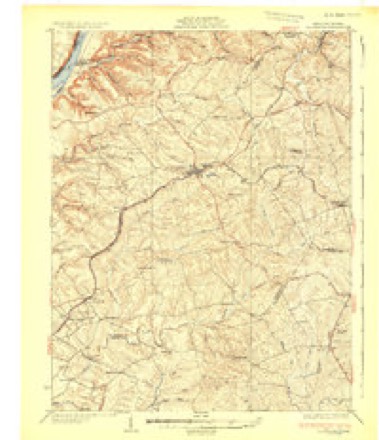
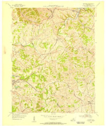
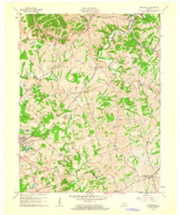
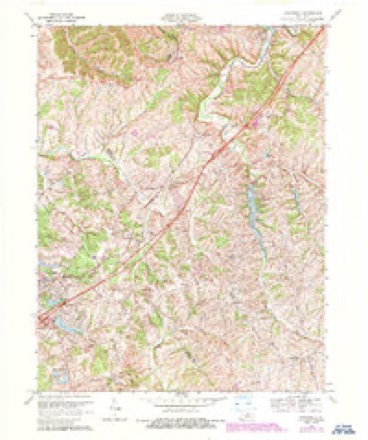
13 topographic sheets cover this place, the earliest surveyed in 1932 and the latest in 1986. It stands in the Eminence census division. It lies in ZIP code area 40068. It stands on Jericho Fork. The Survey maps it on the Smithfield quadrangle.
Topographic sheets covering this place
7 surveys from 13 printed sheetsMatched by testing this settlement's coordinate against the published boundary of every sheet in the United States Geological Survey's historical collection. Each opens the scanned sheet at the Survey.
- 1932 USGS La Grange quadrangle1:62500
- 1954 USGS Smithfield quadrangle1:24000
- 1956 USGS Louisville quadrangle1:250000, 2 printings
- 1961 USGS Smithfield quadrangle1:24000
- 1964 USGS Louisville quadrangle1:250000
- 1969 USGS Smithfield quadrangle1:24000, 5 printings
- 1986 USGS Louisville quadrangle1:100000, 2 printings


Fires near this place
2 since 2000Regional context, not property-specific evidence. The federal wildfire occurrence database lists 2 fires within 5 miles of Jericho between 2000 and 2001, burning about 16 acres in total. None started naturally. None was recorded as arson. Distance is straight-line from the map coordinates, so a fire counted here may appear on a neighbouring settlement's page as well.
| Reported cause | Fires |
|---|---|
| Debris and open burning | 1 |
| Railroad operations and maintenance | 1 |
The most recent of them, most recent first, with the day each was reported and the service that recorded it.
| Date | Cause | Size | Reported by | Name on the report |
|---|---|---|---|---|
| 28 March 2001 | Debris and open burning | 15 acres | Kentucky Division of Forestry | not named |
| 15 March 2000 | Railroad operations and maintenance | 1.0 acres | Kentucky Division of Forestry | not named |
Settlements close enough to share some of these fires:
Storms near this place
4 since 2002Regional context, not property-specific evidence. The National Weather Service names Jericho in 4 storm reports between 2002 and 2024: 2 hail, 1 thunderstorm wind, 1 tornado. No death or injury is recorded in these reports. Each account below is quoted exactly as the forecast office filed it, from the NOAA Storm Events Database, and each date opens the federal record of that event.
| When | Event | Place named | Harm | What the report says |
|---|---|---|---|---|
| April 2024 | Tornado (EF1) | Jericho | - | The National Weather Service in Louisville confirmed an EF1 tornado in south central Henry County starting near Jericho and ending southeast of New Castle.||The tornado touched down near the intersection of state routes 153 and 712. Keepers Restaurant had roof damage, a travel trailer moved 15 yards, and many boards were impaled into the ground. There were extensive topped and uprooted trees behind the Dollar General. Winds were 90 mph, EF1, with a width of 125 yards. ||The tornado destroyed a double wide mobile home, then snapped and uprooted trees along Whitaker Lane. The mobile home was loosely anchored, and the family had heard the NWS tornado warning. Together with other family members next door, they all went to a well constructed home nearby and everyone survived! Winds increased to 110 mph, EF1, with a width of 175 yards. ||The tornado did plenty of topped and uprooted tree damage along Bates Lane and Hieatt Lane over to Jackson Creek. Most of this damage was 80-85 mph, EF1, with a width of 125 mph, but one barn had extensive roof damage, and was EF1, 9O mph wind, with a width of 125 yards. ||Next, the survey team observed topped and twisted trees along with gutter and roof shingle damage at Sunnyside Rd and Jackson Rd. Maximum winds were 90 mph, EF1, with a width of 200 yards. ||The tornado continued eastward and hit the south side of New Castle. It hit 2 metal building warehouses and a large storage shed damaging side and roofing panels. Winds were 90 to 95 mph, EF1, with a width of 175 yards. There were plenty of straight |line winds of 80 mph on the north side of the tornado, especially on the northwestern side. ||The tornado crossed US 421 and damaged a bunch of power poles and lines on KY 573 (South Property Road) with a lot of topped pine and cedar trees. Max winds were 85 mph, EF0, with a width of 125 yards. ||The last damage point was at the end of Burrett Lane, with a few twisted large branches and topped trees. Max winds were 75 mph, EF0, with a width of 75 yards. |
| May 2018 | Thunderstorm Wind | Jericho | - | There was a 52 knot measured wind gust. |
| February 2017 | Hail | Jericho | - | no account filed |
| April 2002 | Hail | Jericho | - | no account filed |
Nearest settlements
The eight closest, with where each one stands in the county. Distances are straight-line, computed from the Geographic Names Information System coordinates.
| Map | Place | Distance | Sheets |
|---|---|---|---|
| Tarascon | 1.1 miles | 13 | |
| Smithfield | 2.2 miles | 13 | |
| Pendleton | 4.0 miles | 13 | |
| Sligo | 5.9 miles | 13 | |
| Sulphur | 6.3 miles | 13 | |
| Eminence | 6.3 miles | 10 | |
| New Castle | 6.7 miles | 10 | |
| Bellview | 8.5 miles | 10 |
Elsewhere
Matched on this settlement's Geographic Names Information System number rather than its name, so it cannot be a different place of the same name in another state.
| Wikipedia article on Jericho | An encyclopaedic summary. Its text is share-alike, so it is linked here rather than copied. |
| Wikidata item Q19986674 | The structured record the population and elevation above come from. Public domain (CC0). |
Provenance
This settlement is recorded in the Geographic Names Information System as feature 508337. The sheet list is computed by point-in-boundary test against the United States Geological Survey's historical topographic inventory. Both are works of the United States government and carry no copyright under 17 U.S.C. 105.
Wildfire. Short, Karen C. 2022. Spatial wildfire occurrence data for the United States, 1992-2020 [FPA_FOD_20221014]. 6th Edition. Fort Collins, CO: Forest Service Research Data Archive. https://doi.org/10.2737/RDS-2013-0009.6 Collected with United States Government funding and usable without additional permissions or fees.
Storms. NOAA National Centers for Environmental Information, Storm Events Database https://www.ncei.noaa.gov/stormevents/ A work of the United States government, no copyright under 17 U.S.C. 105. Narratives are quoted verbatim from the National Weather Service report and are not edited or summarised.