 Block
From the record
4 National Register listings published here.
Sources: the National Register database, National Park Service
49 topographic sheets and 12 fire insurance atlases across 2 places.
4 National Register listings published here.
Sources: the National Register database, National Park Service
Taken for the Office of War Information and the Farm Security Administration, who photographed the country between 1935 and 1944. Works of United States government photographers, with no known restriction on use. Each opens its catalogue record.
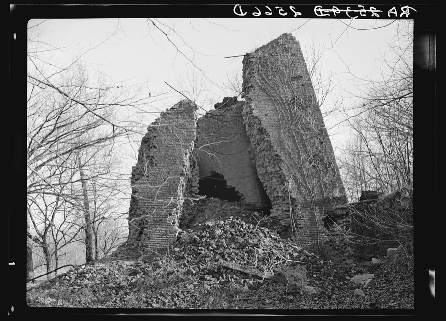
Every property in this county listed on the National Register of Historic Places, with the year it was listed and the federal nomination document.
| Photograph | Property | Type | Listed | Reference |
|---|---|---|---|---|
 | Columbus-Belmont Civil War State Park | site | 1973 | 73000806 |
 | First Christian Church | building | 2016 | 16000005 |
 | Hickman County Courthouse | building | 1975 | 75000767 |
 | Marvin College Boys Dormitory | building | 1976 | 76000897 |
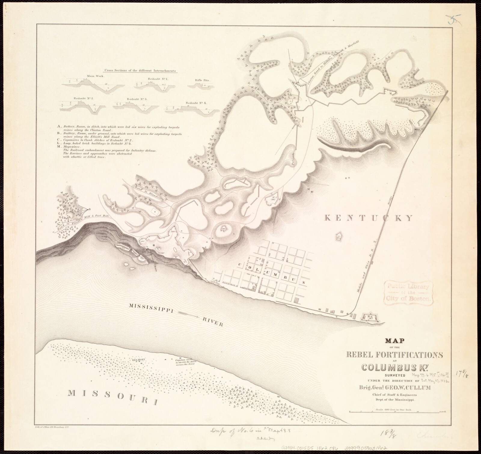
Selected from the Digital Public Library of America's 1 image records catalogued for this county. Every one shown here carries a public-domain status or a licence that permits reuse on a site that carries advertising; non-commercial, share-alike and restricted images are excluded. The selection is spread across the county's towns (at most eight per town), so no single institution's bulk upload crowds out the rest. Each opens the holding library's record, and the complete set at the Digital Public Library of America is one click away.
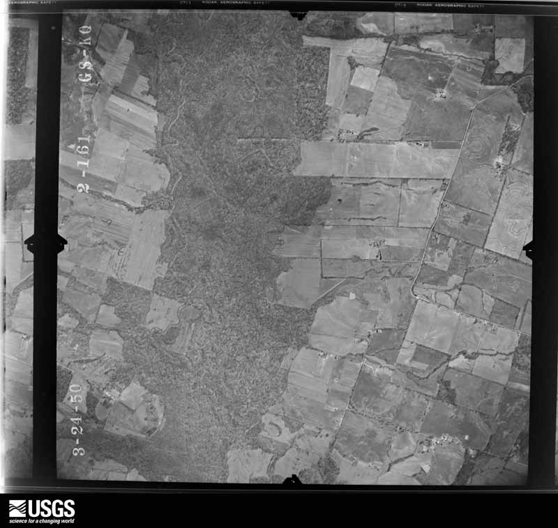
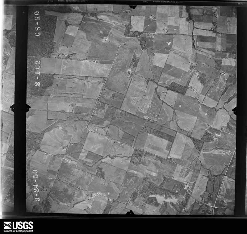
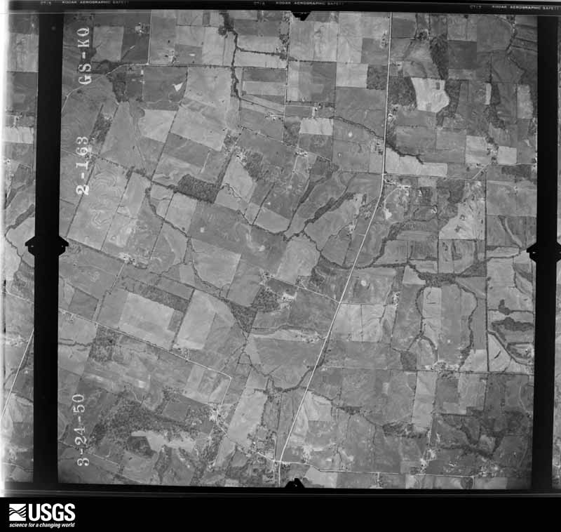
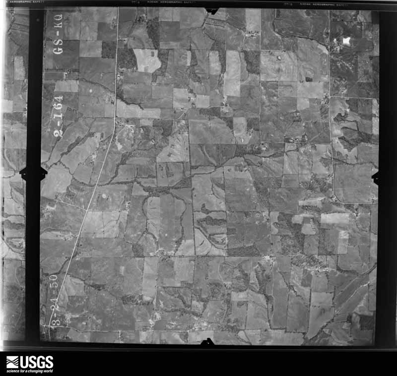
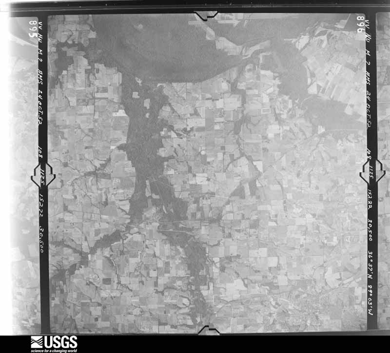
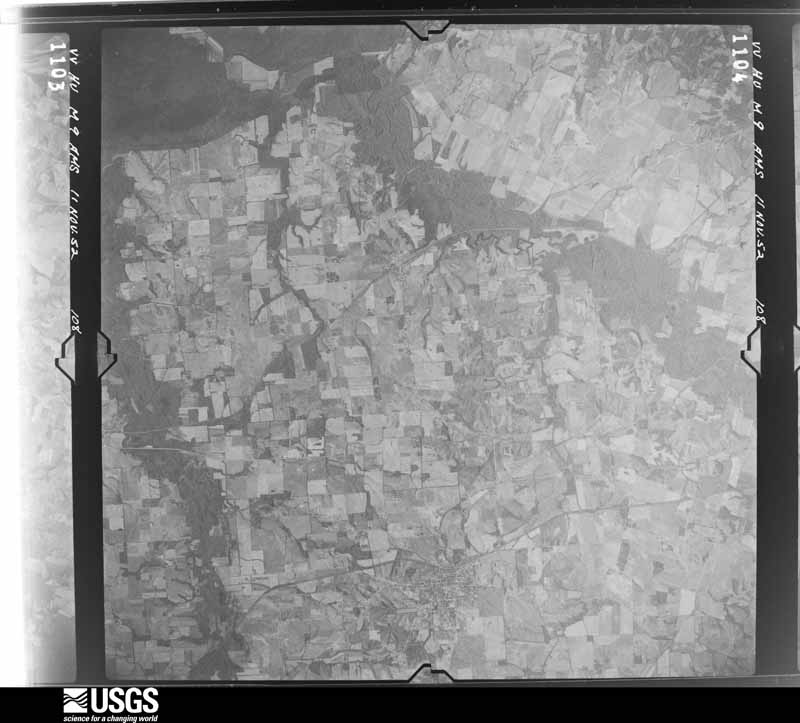
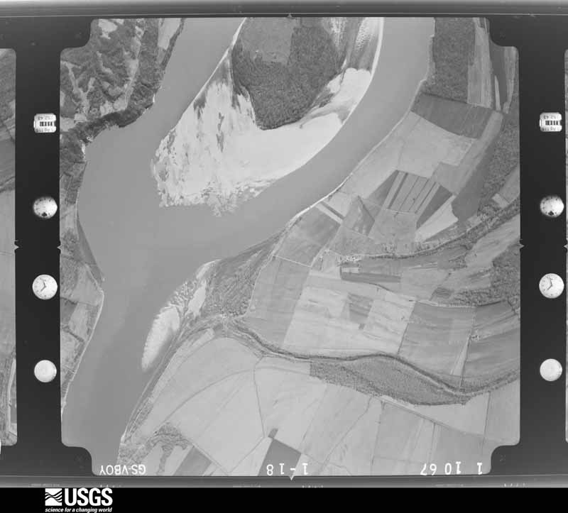
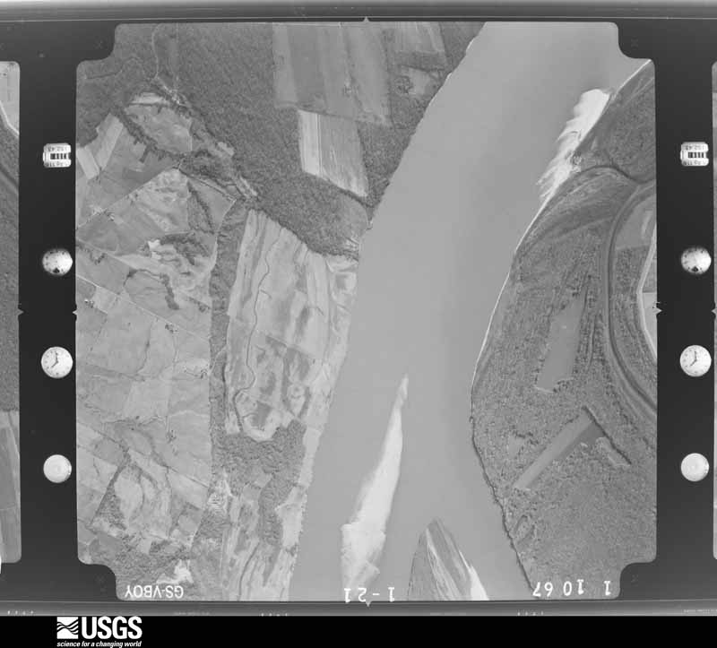
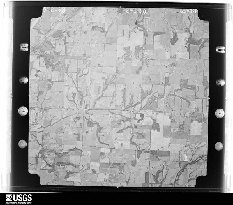
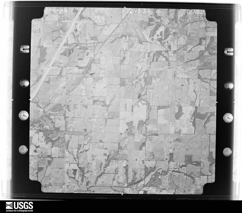
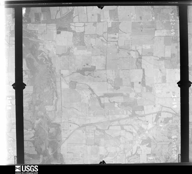
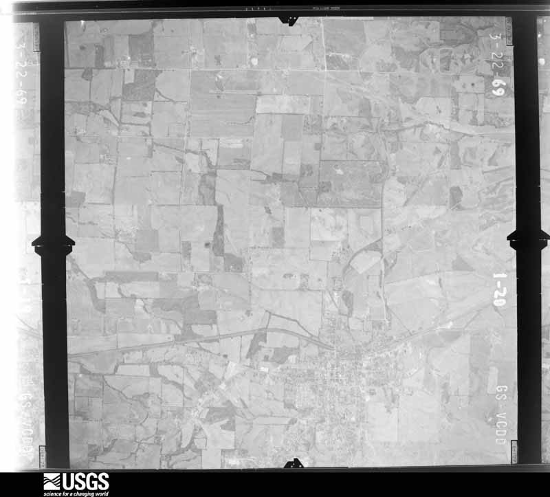
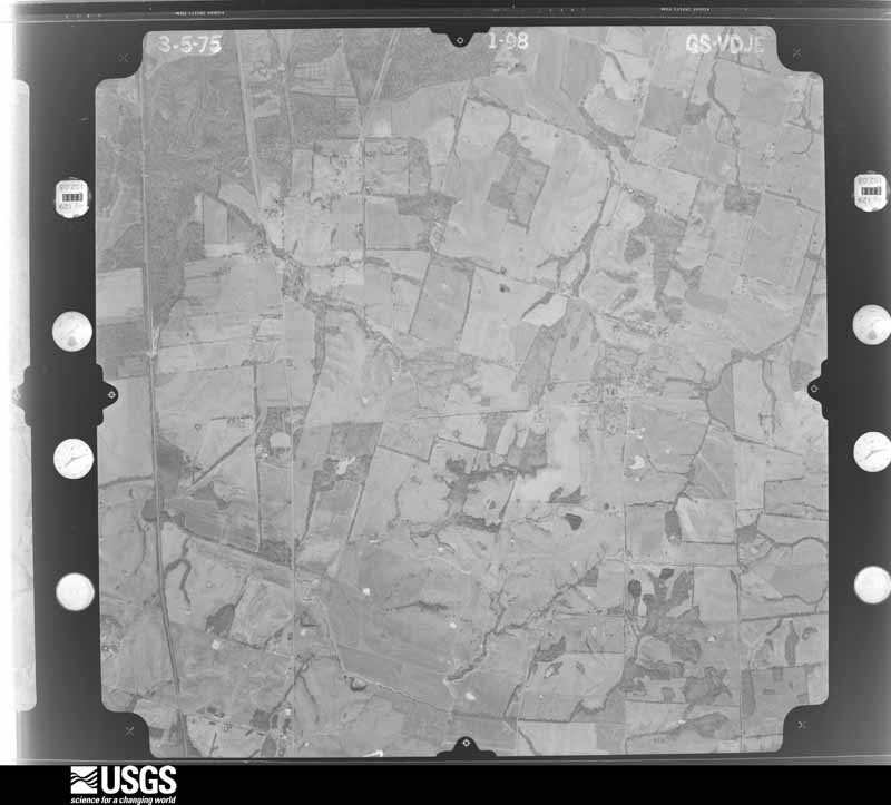
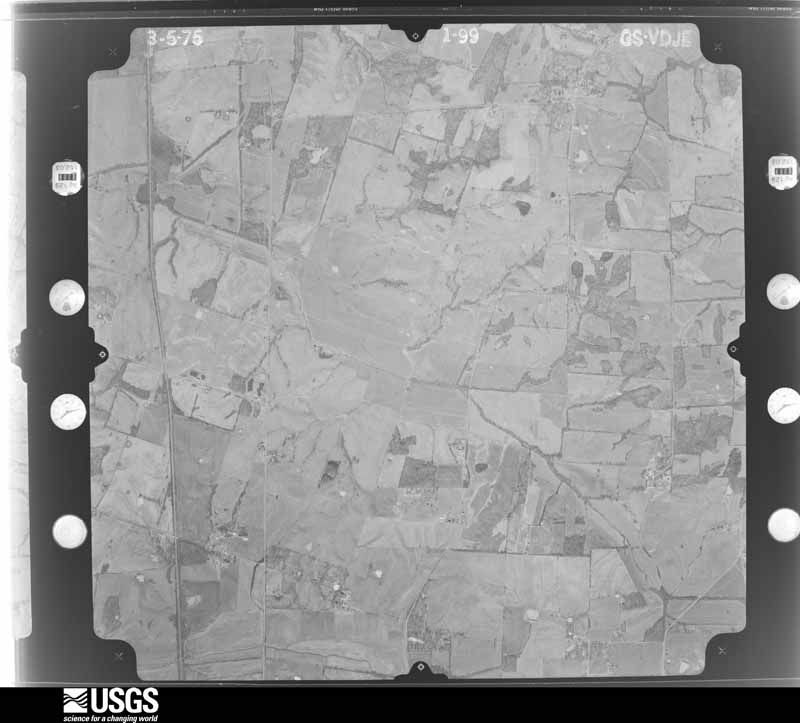
Flown by the U.S. Geological Survey between 1937 and 1989, the Aerial Photo Single Frames collection is the definitive mid-century view of the land: fields, roads and rivers as the camera saw them. The Survey holds 801 frames inside the rectangle that bounds this county; the 32 frames below were taken over the county itself, chosen across the decades of flights (at most four a year from that rectangle), so one flight cannot crowd out the rest. The full set is free to browse and download at EarthExplorer under the dataset Aerial Photo Single Frames.




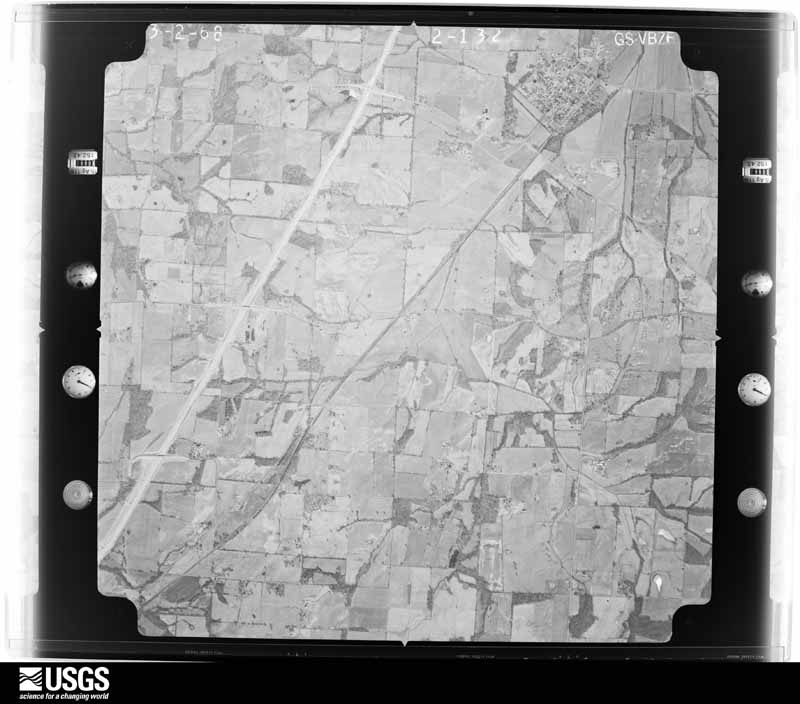
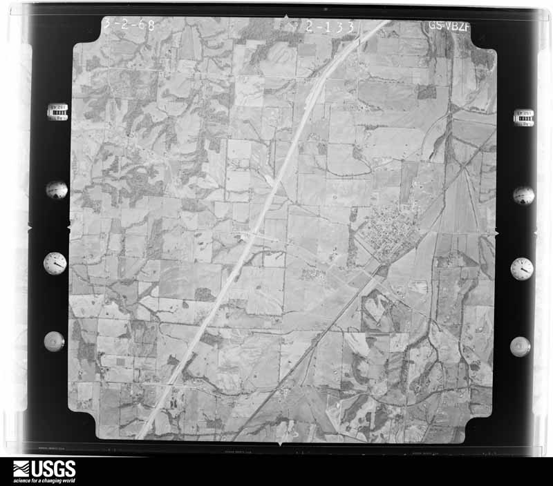
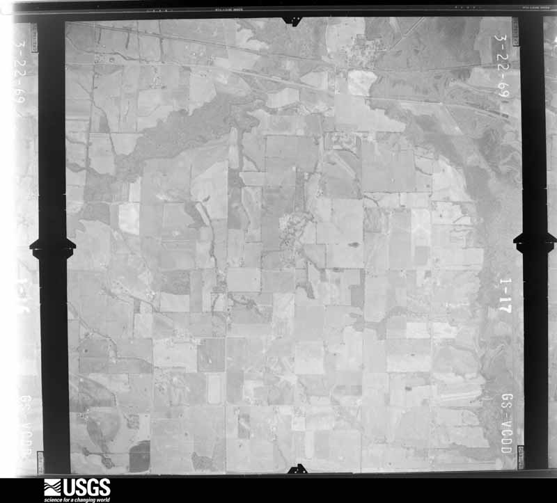
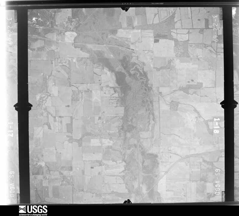










The thermometers that kept this county's weather, and the gages that measured the flow of its streams, as the federal records hold them.
Who lived here in 1950, one enumeration district at a time, as the Census Bureau described each district. Each row opens its official National Archives result, with Population Schedules and ED Maps available there.
Every wildfire the federal occurrence database records inside this county: 58 of them, burning about 795 acres. None started naturally and 1 was recorded as arson. Each settlement page carries the fires within five miles of it.
| Reported cause | Fires |
|---|---|
| Missing data/not specified/undetermined | 19 |
| Recreation and ceremony | 14 |
| Railroad operations and maintenance | 12 |
| Debris and open burning | 10 |
| Smoking | 2 |
| Arson/incendiarism | 1 |
The five largest, by the area the report gives. None of them was recorded as arson.
| Date | Cause | Size | Reported by | Name on the report |
|---|---|---|---|---|
| 7 September 1999 | Railroad operations and maintenance | 500 acres | Kentucky Division of Forestry | not named |
| 23 November 2005 | Missing data/not specified/undetermined | 30 acres | Kentucky Division of Forestry | not named |
| 28 March 1998 | Debris and open burning | 22 acres | Kentucky Division of Forestry | not named |
| 4 September 2010 | Debris and open burning | 20 acres | Kentucky Division of Forestry | DAVIS ROAD |
| 11 November 2009 | Recreation and ceremony | 20 acres | Kentucky Division of Forestry | not named |
| 8 November 2010 | Smoking | 15 acres | Kentucky Division of Forestry | BUGG FIELD |
| 9 February 2009 | Railroad operations and maintenance | 15 acres | Kentucky Division of Forestry | not named |
| 22 November 2003 | Missing data/not specified/undetermined | 13 acres | Kentucky Division of Forestry | not named |
Every settlement page carries the fires within five miles of it - see the settlement index below.
The NOAA Storm Events Database holds 202 reports for this county, causing 4 deaths, 6 injuries and about $3,197,250 in recorded property damage. Each settlement page carries the reports that name it.
| Kind of event | Reports |
|---|---|
| Thunderstorm Wind | 80 |
| Flash Flood | 36 |
| Flood | 32 |
| Hail | 30 |
| Tornado | 14 |
| Heavy Rain | 8 |
| Lightning | 1 |
| Funnel Cloud | 1 |
The most serious of them, by death, then injury, then recorded damage. The accounts are quoted exactly as the forecast office filed them.
| When | Event | Place named | Harm | What the report says |
|---|---|---|---|---|
| February 2011 | Flash Flood | Beulah | 4 killed | A horse-drawn buggy carrying an Amish family was washed away at a low water crossing on a rural gravel road. Four children drowned when they were swept down a swollen creek. Reports stated that up to five feet of water swept the buggy away. The two parents driving the buggy and made it to safety, along with three children. Of the children who drowned, three were siblings and the fourth was a cousin. Three of the bodies were recovered within hours, and the fourth was recovered the following morning. The low water crossing itself was on the Graves County line, and the bodies were located up to 600 yards into Hickman County. The horse and buggy were located about 100 yards downstream from the road. The horse survived. The family was on its way back from making a phone call at a community phone shack used by the Amish community. |
| December 2021 | Tornado (EF3) | Croley | 5 hurt | This historic EF-4 tornado was associated with a very long-track supercell that originally formed over eastern Arkansas. The supercell produced a nearly continuous tornado damage path from northeast Arkansas across western Tennessee and western Kentucky. The starting point of this particular tornado was in northwest Tennessee, northwest of Union City (see Storm Data, Tennessee, Western for information on this and other tornadoes associated with the supercell). This tornado crossed from Fulton County into Hickman County about 7 miles northwest of Fulton, close to the community of Croley. The tornado was exceptionally wide as it entered Hickman County, becoming about 1.5 miles wide. The tornado track in Hickman County was over rural farmland, bypassing small communities. The tornado achieved a rating of EF-3 over far eastern Hickman County, along Highway 58 near the Graves County line. This is where numerous wooden towers carrying electrical transmission lines collapsed (DI 24, DOD 6). This damage site is where the tornado was assigned the highest estimated wind speed in the county, about 140 mph. On Highway 307, there were four collapsed metal truss towers for carrying electrical transmission lines (DI 24, DOD 6). There were several injuries but no fatalities in the county. About a dozen homes were destroyed countywide. A mobile home was destroyed (DI 3, DOD 9). Most walls of one destroyed house collapsed, except small interior rooms (DI 2, DOD 8). The damage rating of this house was lowered due to toe nail construction. A total of 41 homes were damaged in Hickman County, and 12 were destroyed or uninhabitable. Hundreds of trees were snapped or uprooted. The average path width was about 1.25 miles (2250 yards). The tornado exited Hickman County into Graves County in a rural area about one-half mile north of where Highway 58 crosses the county line. |
| September 1991 | Thunderstorm Wind | not stated | 1 hurt | no account filed |
| April 2017 | Tornado (EF1) | Croley | $425,000 | This tornado began about 4.6 miles southeast of Clinton. The path crossed very close to the intersection of Highways 58 and 307, where the community of Fulgham is located. Peak winds were estimated near 95 mph. Three dozen homes and outbuildings received minor to moderate damage, consisting primarily of loss of shingles, siding, and trim. One home lost about a third of its roof, and another home had the back porch blown off. Several smaller outbuildings or garages were destroyed. A large chicken house lost one-quarter of its roof. Kentucky Highway 307 was closed by downed trees and power lines north of Highway 58. Hundreds of trees and tree limbs were blown down. Four eyewitnesses reported seeing the tornado near Fulgham. Most of the damage was concentrated around and just north of Fulgham. The tornado weakened somewhat as it crossed into Graves County, and the damage track became more intermittent there. The tornado crossed into Graves County about one mile north of where Highway 58 crosses the county line. |
| May 2021 | Tornado (EF1) | Oakton | $350,000 | Multiple trees were snapped. Many tree branches and some trees fell on multiple homes, which inflicted damage. At one point there were 65 trees covering main and secondary roads across the county. All main roads were back open on the afternoon of the 4th, and crews then focused on secondary roads. Many roads were closed as cleanup continued. Emergency management reported 28 residential structures had some form of damage, and a dozen commercial structures were damaged as well. These included farming structures and equipment. One family was displaced from their mobile home because of damage from a fallen tree. A county state of emergency was declared. Peak winds were estimated near 105 mph. |
| May 2010 | Tornado (EF2) | Croley | $300,000 | The tornado crossed into Hickman County from Fulton County on U.S. Highway 51 just north of Crutchfield. Peak winds in this area were estimated near 115 mph. The EF-2 tornado damaged or destroyed several pole barns along U.S. Highway 51. One barn was over 100 feet long and was anchored by telephone poles set in concrete. Most of the poles were snapped. A few poles were pulled up, with one thrown about 50 yards. A section of U.S. 51 was closed due to downed power poles and debris. Large trees were uprooted or snapped. There was minor house damage. As the tornado continued northeast across Kentucky Highway 1070 and a nearby road, three homes were damaged. One of the houses sustained damage to an outside wall, which was pushed in about three inches. The carport attached to that wall was blown away. A two-story garage was destroyed, along with other sheds and another carport. The other two houses sustained damage to garages and siding. Windows were blown out, and a section of roof was blown off one house. The maximum path width of about 600 yards was in this area. The average path width was closer to 300 yards. The tornado then weakened significantly and produced only minor tree damage until it dissipated about a mile southwest of Fulgham. |
| September 2006 | Flash Flood | Countywide | $300,000 | Major flash flooding occurred in Clinton, where homes and businesses were evacuated. A service station was flooded with one to two inches of water. Numerous roads were washed out around the county. |
| July 2023 | Flash Flood | Beulah | $250,000 | no account filed |
| February 2025 | Flood | South Columbus | $150,000 | Flash flooding from the 15th transitioned to areal flooding early on the 16th around midnight. Flood water continued to close a portion of U.S. 51 south of Clinton, and portions of Highways 123, 239, 1238, 1529, and 58. Numerous county roads were washed out or otherwise sustained some damage. |
| April 2023 | Thunderstorm Wind | Columbus | $125,000 | Twelve structures were damaged, including a poultry barn that was a total loss. Most of the structures were homes with roof damage. Scattered trees and power lines were down. |
| August 2023 | Tornado (EF1) | Beelerton | $100,000 | This EF-1 tornado began with a cluster of damage along Kentucky 307 just south of Johnson Rd, including on Bizzle Road and Laine Road. Around two dozen trees were blown down, and a grain bin was destroyed on Laine Road. This was the strongest and widest portion of the tornado track. The tornado proceeded northeastward, with damage to a portion of a tree line south of Johnson Road. Large branches and smaller limbs were found on Rushton Road and Kentucky 1529. A tree fell on a house along Highway 1529. A large section of a tree fell onto a home on Wilson Road. The tornado appeared to have lifted shortly after crossing Wilson Road. Peak winds were estimated near 105 mph. |
| May 2011 | Flood | Columbus | $100,000 | Record flooding occurred along the Mississippi River. The river gages at both Cairo, Illinois and New Madrid, Missouri measured record high levels exceeding the 1937 record flood. |
| April 2006 | Thunderstorm Wind | Clinton | $100,000 | In downtown Clinton, the front of a building containing three stores on Kentucky 123 collapsed into the street. The road was closed until debris could be cleared. Roofs were blown off four other structures. Seven poles were blown over. |
| May 1996 | Thunderstorm Wind | Clinton | $100,000 | no account filed |
| June 2016 | Thunderstorm Wind | Croley | $65,000 | Numerous trees were down. Corn stalks were laid over. One large tree fell across a home. A porch and garage of another residence was damaged. A large chicken barn collapsed, and another barn was damaged. The damage occurred near U.S. Highway 51 south of Clinton near the intersection of Highway 2209. |
| February 2011 | Tornado (EF1) | Beelerton | $60,000 | The tornado crossed into Hickman County from Fulton County, then crossed U.S. Highway 45 and the Purchase Parkway. Trees and power poles were snapped off. A barn was destroyed. Shingles were blown off houses. Peak winds were estimated near 95 mph. The average path width was 100 yards. The tornado then exited into Graves County south of Water Valley. |
| April 2022 | Tornado (EF0) | Beelerton | $45,000 | Several farm outbuildings sustained partial or complete loss of metal roofing. A carport was damaged. Some trees were down. Peak winds were estimated around 80 mph. |
| April 2014 | Flash Flood | Oakton | $40,000 | Major flash flooding of roads was reported in the Clinton area. Cars were washed into ditches. Emergency vehicles were dispatched to assist stranded motorists. |
| October 2007 | Thunderstorm Wind | Clinton | $35,000 | A shed and a barn were blown away. Two roads were impassable due to trees across them. Several other trees were down in the same area. A power pole was broken. |
| April 2018 | Tornado (EF1) | New Cypress | $30,000 | This very brief tornado occurred in farm country of northeast Hickman County. All walls were blown out of a chicken barn. Peak winds were estimated near 100 mph. |
| March 2017 | Thunderstorm Wind | Clinton | $30,000 | In Clinton, a tower over 180 feet tall was blown down. Portions of a 16-by-20 foot shed were blown into a field. A wind gust to 67 mph was measured by a Davis weather station a couple of miles south of Clinton. |
| May 2017 | Thunderstorm Wind | Beelerton | $30,000 | On Highway 1529 just west of Highway 307, thunderstorm winds damaged a barn and took down a number of trees and tree limbs. A couple of small to medium-size trees were uprooted. A very large oak tree was snapped. One of the trees landed on a corner of a house roof, causing moderate damage. Part of the wall of a large barn or shed was blown down. |
| September 2012 | Thunderstorm Wind | Oakton | $30,000 | The roofs were blown off two chicken houses on Highway 123. |
| May 2011 | Flood | Beelerton | $30,000 | no account filed |
| May 2025 | Thunderstorm Wind | Fulham | $25,000 | A tree was blown onto a house in the Fulgham Community with damage to a carport and vehicles and minor damage to living areas. |
| July 2016 | Thunderstorm Wind | Clinton | $25,000 | Numerous trees were blown down. A tin roof was blown off an equipment shed and another business in Clinton. Most of the damage was on the north side of Clinton or in Clinton. |
| August 2009 | Thunderstorm Wind | New Cypress | $25,000 | Trees were down countywide, including one that landed on Highway 307. Large limbs were down on other sections of Highway 307. A television antenna tower was toppled. The tower landed on an above-ground pool, destroying it. |
| September 2006 | Thunderstorm Wind | Columbus | $25,000 | A large part of the roof was blown off a house. A shed was blown into a nearby field. Numerous large trees were blown down, blocking roads. A large tree fell across State Highway 58 and took down power lines. |
| June 2004 | Flash Flood | Countywide | $25,000 | no account filed |
| May 1961 | Tornado (F2) | not stated | $25,000 | no account filed |
| April 2018 | Tornado (EF1) | Oakton | $20,000 | This brief tornado occurred along the west side of Kentucky Highway 58. Trees were snapped and uprooted. A roof was lifted off a barn and thrown 50 feet into some woods. A metal roof was peeled back on a house. A rotten tree fell on a mobile home and destroyed it. Peak winds were estimated near 100 mph. |
| June 1998 | Thunderstorm Wind | Columbus | $20,000 | An outbuilding was destroyed and a roof was damaged. |
| May 2024 | Thunderstorm Wind | Clinton | $15,000 | Four trees were downed on the north and west city limits of Clinton as an early morning thunderstorm moved northeastward through the area. Power outages occurred on the northeastern side of the county. |
| June 2023 | Thunderstorm Wind | Fulham | $15,000 | Kentucky Highway 307 was blocked south of Kentucky 58 due to numerous trees down. |
| February 2022 | Thunderstorm Wind | Croley | $15,000 | Barns and sheds were damaged very close to the Fulton County line, just west of U.S. Highway 51. |
| September 2012 | Thunderstorm Wind | Clinton | $15,000 | Several trees were blown down on U.S. Highway 51. The county road maintenance building lost part of its roof. |
| August 2005 | Thunderstorm Wind | Spring Hill | $15,000 | A portion of the roof was blown off a house. A window of a house next door was blown out. |
| February 2025 | Flood | Croley | $12,000 | A semi truck and trailer washed off the road on U.S. 51 south of Clinton near the intersection with Highway 780. A water rescue was performed. |
| September 2025 | Flash Flood | Clinton | $10,000 | Significant flash flooding occurred in Clinton with several streets flooded and water rising to near entrances of multiple structures. Hourly rainfall rates peaked at Clinton at 2-2.5in from 1615-1715CST with total rainfall rates of 2.5-4in during the afternoon to early evening hours. |
| May 2024 | Thunderstorm Wind | Nichols | $10,000 | Multiple trees were downed on the north and east side of Hickman County, including in the Springhill area with trees blocking roads. |
| August 2023 | Thunderstorm Wind | Moscow | $10,000 | The Kentucky Transportation cabinet reported numerous trees were down across Hickman County. Quite a few trees were down on Highway 239 near the Fulton County line. Trees were also down along Kentucky Highways 58 and 1708 east of Clinton. |
| June 2010 | Thunderstorm Wind | Spring Hill | $10,000 | Doors on farms were damaged. |
| August 2010 | Thunderstorm Wind | Beelerton | $10,000 | Wind gusts were estimated near 60 mph. Tree limbs and small trees were blown down. |
| March 2006 | Thunderstorm Wind | Clinton | $10,000 | Trees and six power poles were blown down on Highway 58. |
| May 2006 | Thunderstorm Wind | Spring Hill | $10,000 | Several trees were blown down or damaged. One downed tree fell through the roof of a trailer on Highway 1362. |
| May 1995 | Thunderstorm Wind | Clinton | $10,000 | A tree blew down, falling on a business. |
| March 1997 | Flash Flood | Clinton | $10,000 | no account filed |
| March 1997 | Flash Flood | Clinton | $10,000 | no account filed |
| January 1996 | Thunderstorm Wind | Clinton | $10,000 | no account filed |
| October 2001 | Thunderstorm Wind | Clinton | $8,000 | A vacant mobile home was blown across a field and demolished. A mobile home and an outbuilding were damaged on County Road 703. |
| April 2007 | Thunderstorm Wind | Clinton | $7,000 | Damaging winds downed trees and branches. A business sign was destroyed. |
| November 1996 | Flash Flood | Clinton | $6,000 | no account filed |
| July 2022 | Thunderstorm Wind | Clinton | $5,000 | The wall was bowed in on a metal workshop in Clinton. In the southeast corner of the county near Beelerton, a tree limb was down and corn was flattened. |
| May 2020 | Thunderstorm Wind | Clinton | $5,000 | Larger limbs and small trees were down west of Clinton. |
| February 2019 | Flood | Clinton | $5,000 | Two vehicles were stalled in floodwaters at a railroad underpass in Clinton. Multiple highways were covered by water around the county, especially near flood-prone creeks. |
| May 2016 | Thunderstorm Wind | Clinton | $5,000 | Numerous trees were blown down. |
| June 2015 | Thunderstorm Wind | Clinton | $5,000 | Trees were blown down. |
| July 2014 | Thunderstorm Wind | Clinton | $5,000 | Trees were down along Highway 123. |
| February 2011 | Thunderstorm Wind | Clinton | $5,000 | Kentucky Highway 58 was closed between the 10 and 12 mile markers due to a downed tree entangled in power lines. A power pole was down along Highway 58 in Clinton, and the southeast section of town was without power. |
| May 2010 | Thunderstorm Wind | Croley | $5,000 | A path of straight-line wind damage began on the southeast flank of the EF-2 tornado as it tracked west of Beelerton. This path of wind damage remained just south and east of the tornado damage path, then continued for a few miles beyond the end point of the tornado. The damage path averaged about 50 yards wide. Mostly trees were damaged. The damage path ended at the Graves County line. |
The Survey's mineral resources record lists 3 workings inside this county. 1 still produces and 2 are closed or unrecorded. Each settlement page carries the workings within five miles of it.
| Commodity | Workings |
|---|---|
| Sand and Gravel, Construction | 2 |
| Silica | 1 |
The least common of them first, because a county's hundredth gravel pit says nothing its first ten did not.
| Where | Site | Commodity | Status | Recorded |
|---|---|---|---|---|
| Chalk Bluff Sandstone | Silica | Prospect | ||
| Diana G. Dredge | Sand and Gravel, Construction | Past Producer | ||
| Dredge Delores | Sand and Gravel, Construction | Producer |
Named settlements recorded in the Geographic Names Information System, each with the topographic sheets covering it. Villages, hamlets and abandoned places alike. Each is shown with the nearest named watercourse or landform and the survey quadrangle it falls on. The 2 places that were also surveyed for fire insurance come first, with the number of atlases and photographs held for them.
Clinton census division · 42031 · Clinton quadrangle
10 sheets, 1952 to 1986
Fire insurance: 6 atlases
Columbus census division · 42032 · Arlington quadrangle
16 sheets, 1939 to 1985
Fire insurance: 6 atlases
Clinton census division · 42041 · On Pond Branch · Crutchfield quadrangle
9 sheets, 1952 to 1986
Clinton census division · 42041 · On Pond Branch · Water Valley quadrangle
10 sheets, 1952 to 1986
Columbus census division · 42031 · By Three Ponds Bluff · Oakton quadrangle
18 sheets, 1939 to 1985
Clinton census division · 42031 · On Brush Creek · Oakton quadrangle
18 sheets, 1939 to 1985
No longer a settlement
Clinton census division · 42031 · On Hurricane Branch · Cayce quadrangle
18 sheets, 1939 to 1985
Columbus census division · 42031 · On Brush Creek · Oakton quadrangle
18 sheets, 1939 to 1985
No longer a settlement
Clinton census division · 42031 · Oakton quadrangle
18 sheets, 1939 to 1985
No longer a settlement
Clinton census division · 42031 · On Bugg Creek · Clinton quadrangle
10 sheets, 1952 to 1986
Clinton census division · 42031 · On Brush Creek · Oakton quadrangle
18 sheets, 1939 to 1985
Clinton census division · 42041 · On Pond Branch · Crutchfield quadrangle
9 sheets, 1952 to 1986
No longer a settlement
Clinton census division · On Whayne Branch · Oakton quadrangle
18 sheets, 1939 to 1985
Columbus census division · 42031 · On Cane Creek · Oakton quadrangle
18 sheets, 1939 to 1985
No longer a settlement
The vanished settlements of Hickman County: the places named above that are no longer on the map.
10 topographic sheets and 6 fire insurance atlases, 1894 to 1943
16 topographic sheets and 6 fire insurance atlases, 1886 to 1927