 Block
From the record
73 National Register listings published here, 1 of them a National Historic Landmark.
Sources: the county history on the Internet Archive · the National Register database, National Park Service
37 topographic sheets and 10 fire insurance atlases across 2 places.
73 National Register listings published here, 1 of them a National Historic Landmark.
Sources: the county history on the Internet Archive · the National Register database, National Park Service
Taken for the Office of War Information and the Farm Security Administration, who photographed the country between 1935 and 1944. Works of United States government photographers, with no known restriction on use. Each opens its catalogue record.
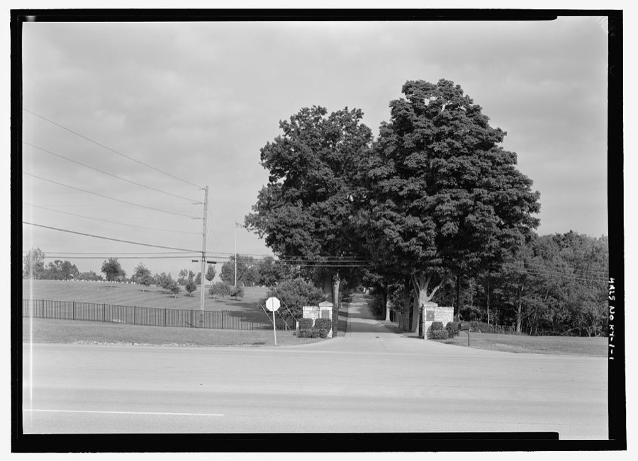
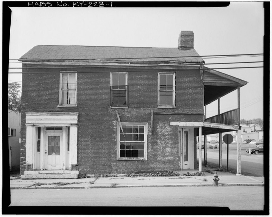
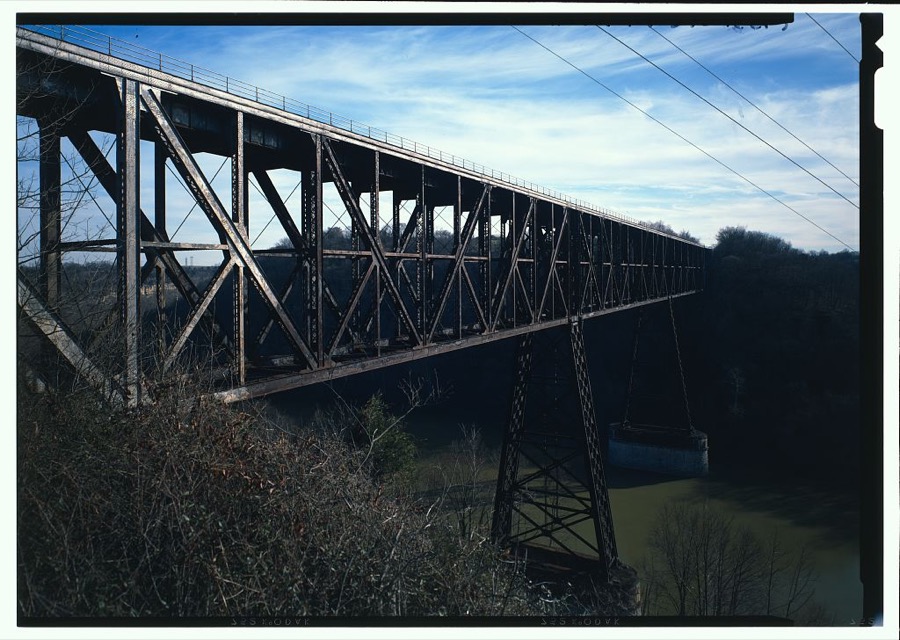
Every property in this county listed on the National Register of Historic Places, with the year it was listed and the federal nomination document.
| Photograph | Property | Type | Listed | Reference |
|---|---|---|---|---|
 | Asbury College Administration Building | building | 1985 | 85001532 |
| Craig Ashurst House | building | 2017 | 84001587 | |
| Barkley House | building | 1984 | 84001590 | |
| Isaac Barkley House | building | 1984 | 84001594 | |
| Bicknell House | building | 1984 | 84001600 | |
 | Brick House on Shun Pike | building | 1984 | 84001601 |
| J. S. Bronaugh House | building | 1984 | 84001603 | |
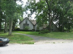 | George I. Brown House | building | 1977 | 77000632 |
 | George and Betty Bryan House | building | 1984 | 84001606 |
| Bryant House | building | 1985 | 85001541 | |
| Burrier House | building | 1984 | 84001607 | |
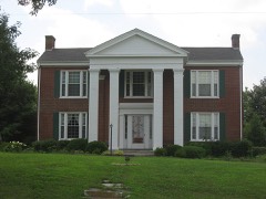 | Butler's Tavern | building | 1984 | 84001608 |
| Camp Nelson | district | 2001 | 00000861 | |
 | Camp Nelson National Cemetery | site | 1998 | 98001134 |
| Canewood Farm | district | 1999 | 99000494 | |
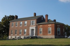 | Chaumiere des Prairies | building | 1975 | 75000780 |
| Joseph Chrisman House | building | 1984 | 84001618 | |
| Confederate Memorial in Nicholasville | object | 1997 | 97000686 | |
| Joseph Crockett House | building | 2011 | 83004587 | |
| Curd House | building | 1984 | 84001621 | |
| J. W. Duncan House | building | 1984 | 84001622 | |
| Nathaniel Dunn House | building | 1979 | 79001015 | |
| East Main Street Historic District | district | 1994 | 94000840 | |
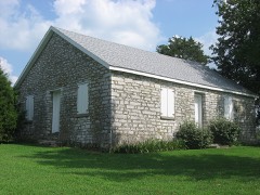 | Ebenezer Presbyterian Church | building | 1983 | 83002797 |
| Federal House on Hickman Creek | building | 1985 | 85001542 | |
| First Vineyard | site | 2015 | 15000656 | |
| Glass Mill Complex | district | 2025 | 100011310 | |
| Glass Mill Road Four Arch Bridge | structure | 2024 | 100010245 | |
| A. Grubb House | building | 1984 | 84001626 | |
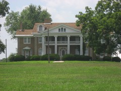 | Hoover House | building | 1984 | 84001629 |
| Hughes House | building | 1984 | 84001632 | |
| John Hunter House | building | 1985 | 85001540 | |
| Keene Springs Hotel | building | 1984 | 84001636 | |
| Kenyon Avenue Historic District | district | 1994 | 94000841 | |
| Grant Knight House | building | 1984 | 84001639 | |
| John Lancaster House | building | 1983 | 83002799 | |
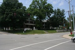 | Lexington and Main Historic District | district | 1994 | 94000842 |
| Locust Grove Stock Farm | building | 1984 | 84001642 | |
| Log House on Shun Pike | building | 1984 | 84001645 | |
| William C. Lowry House | building | 1984 | 84001647 | |
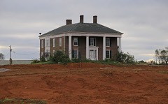 | Marshall-Bryan House | building | 1984 | 84001653 |
| James G. Martin House | building | 1984 | 84001654 | |
| Lewis Y. Martin House | building | 2008 | 08000009 | |
| McClure-Shelby House | building | 1978 | 78001372 | |
 | McConnell-Woodson-Philips House | building | 1984 | 84001657 |
 | Morrison-Kenyon Library | building | 1985 | 85001539 |
| Mt. Pleasant Baptist Church | building | 1984 | 84001659 | |
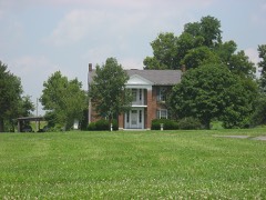 | Nave-Brown House | building | 1984 | 84001663 |
| Davis Newman House | building | 1984 | 84001669 | |
| Nicholasville Historic District | district | 1984 | 84001674 | |
| North Lexington Avenue Historic District | district | 1994 | 94000843 | |
| George O'Neal House | building | 1985 | 85001538 | |
| James O'Neal House | building | 1985 | 85001537 | |
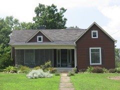 | Payne-Saunders House | building | 1996 | 96000799 |
| Pleasant Grove | building | 1984 | 84001678 | |
 | Providence Church | building | 1984 | 84001682 |
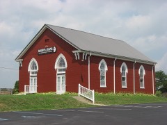 | Roberts Chapel | building | 1984 | 84001686 |
| Sandy Bluff | building | 1984 | 84001689 | |
| Scott House | building | 1983 | 83002800 | |
| John Harvey Scott House | building | 1984 | 84001692 | |
| Shady Grove | building | 1985 | 85001536 | |
| Shanklin House | building | 1985 | 85001535 | |
| St. Luke Catholic Church | building | 2024 | 100010244 | |
| Robert Steele House | building | 1983 | 83002801 | |
| Stone House on Brooklyn Hill | building | 1983 | 83002802 | |
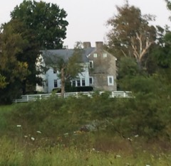 | Stone House on West Hickman | building | 1983 | 83002803 |
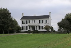 | Sunnyside Farm House | building | 1984 | 84001695 |
| Ridge Taylor Farm | building | 1985 | 85001534 | |
| Thornwood | building | 1984 | 84001697 | |
| Venable-Todhunter Houses | building | 1984 | 84001781 | |
 | Woodland | building | 1984 | 84001783 |
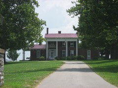 | Young House | building | 1984 | 84001787 |
| A. M. Young House | building | 1985 | 85001533 |
Drawn when these were printed as single large sheets: the town seen from the air, and the county divided into its farms with every owner named. Each opens the original at the Library of Congress.


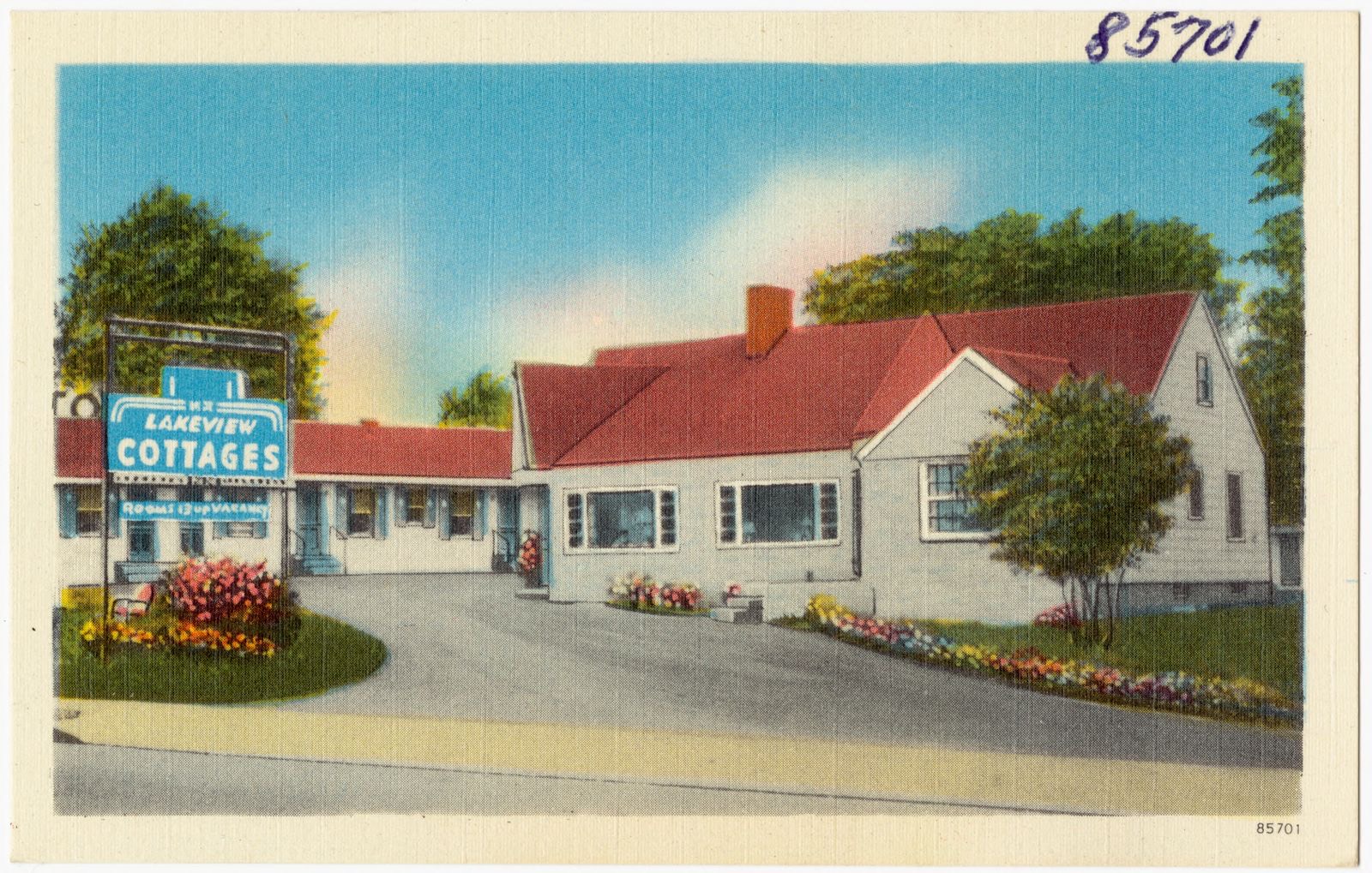
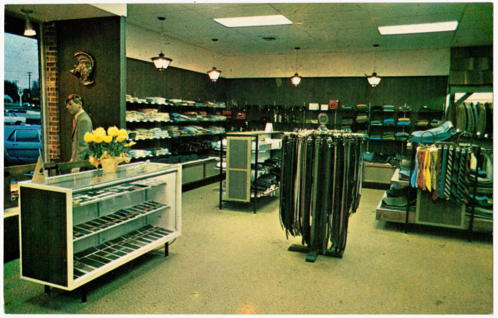
Selected from the Digital Public Library of America's 5 image records catalogued for this county. Every one shown here carries a public-domain status or a licence that permits reuse on a site that carries advertising; non-commercial, share-alike and restricted images are excluded. The selection is spread across the county's towns (at most eight per town), so no single institution's bulk upload crowds out the rest. Each opens the holding library's record, and the complete set at the Digital Public Library of America is one click away.
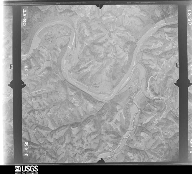
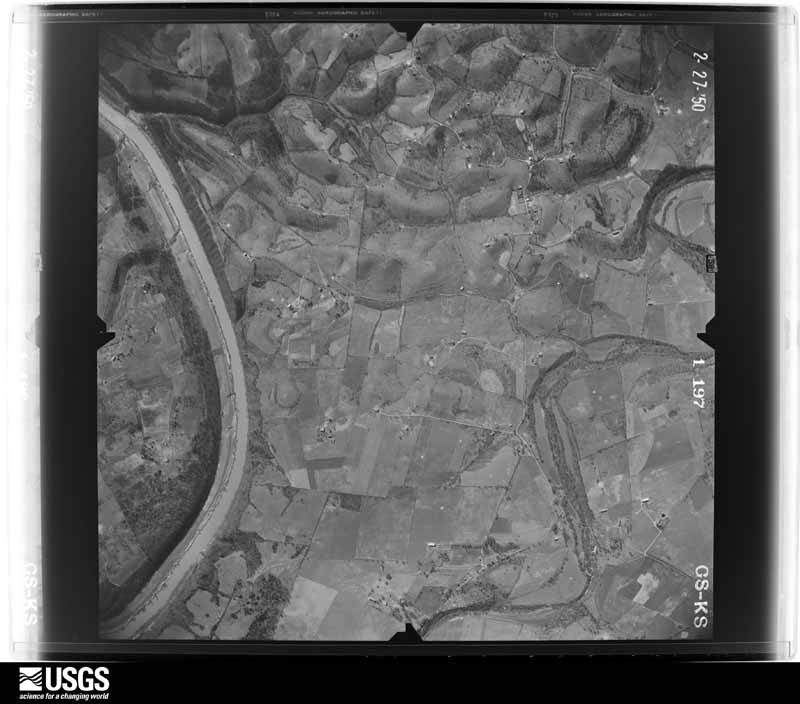
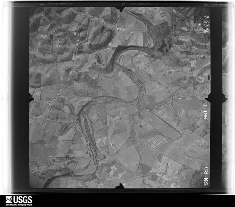
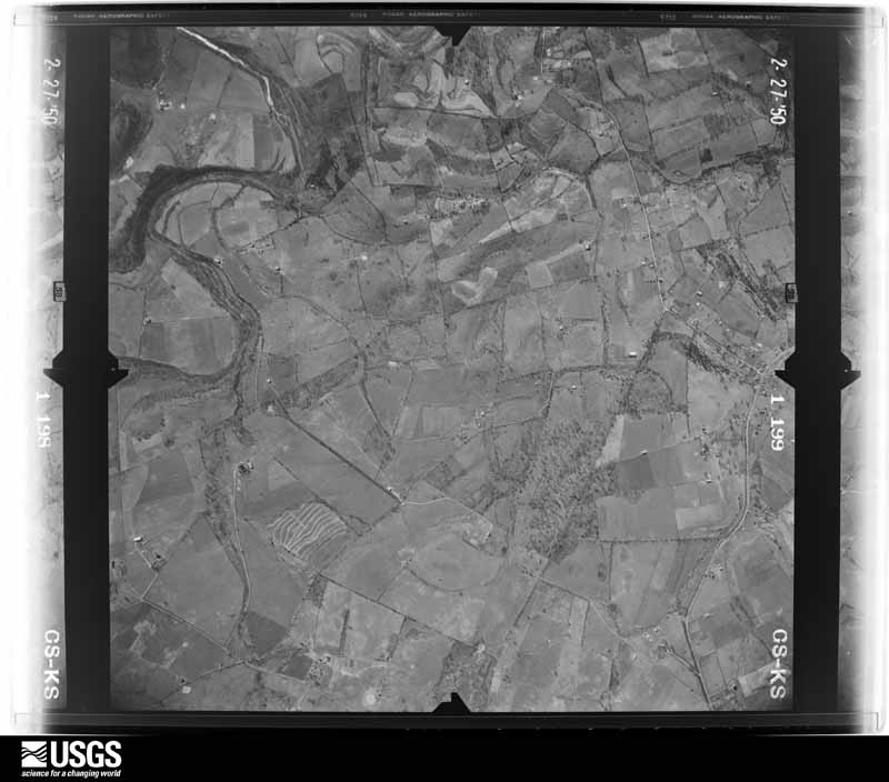
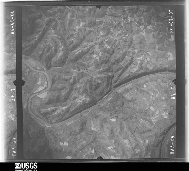
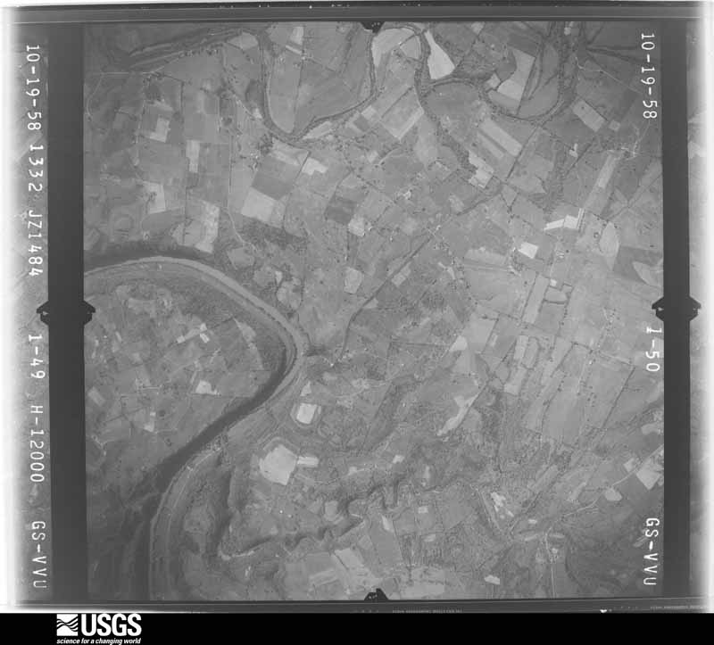
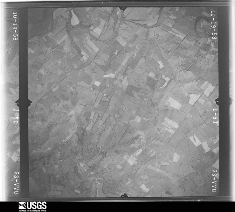
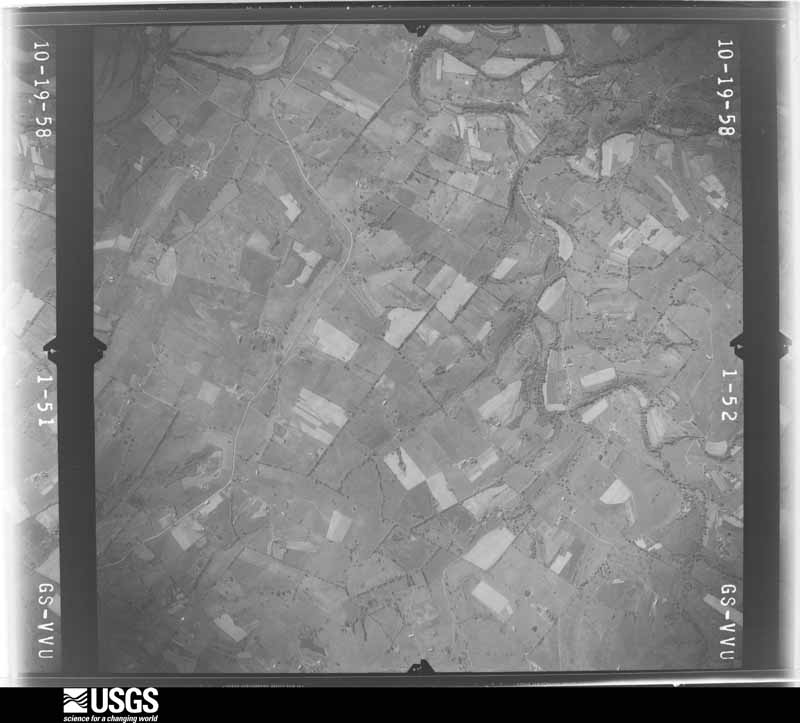
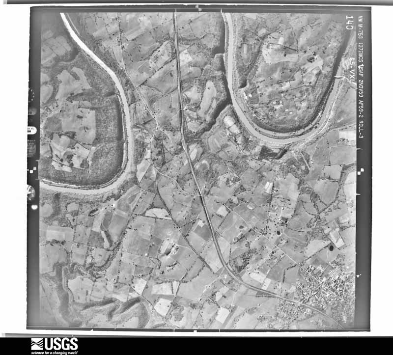
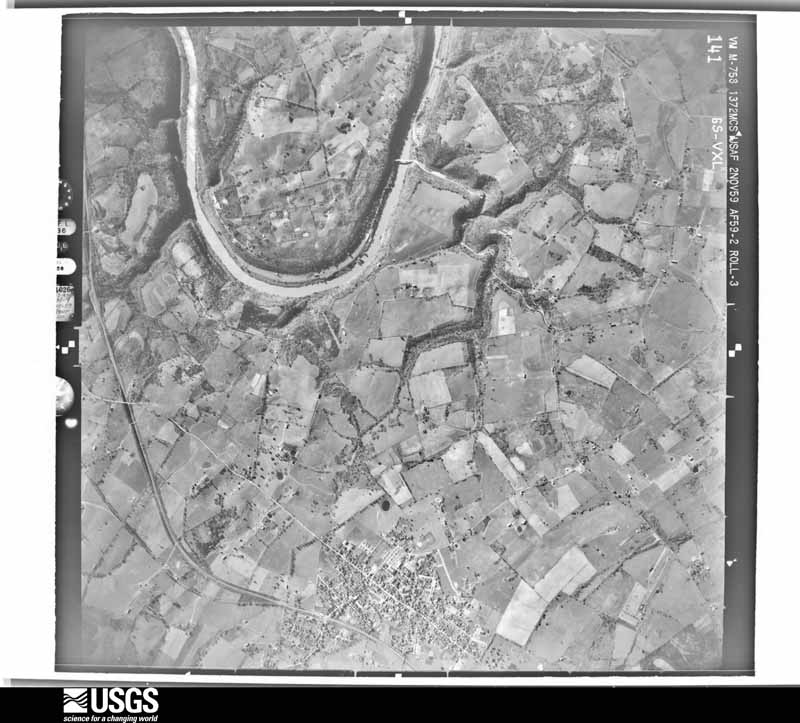
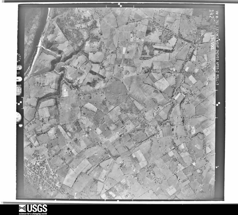
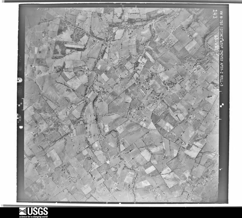
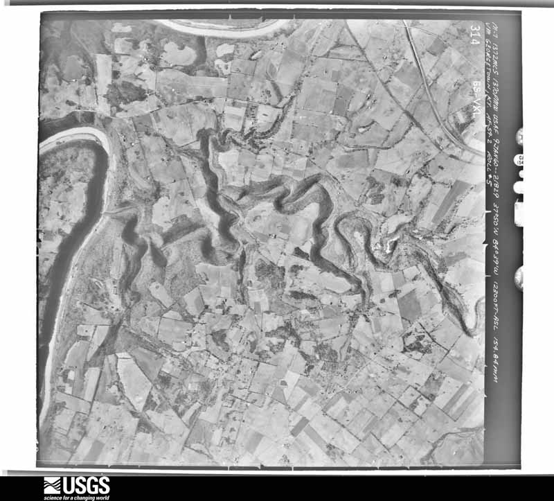
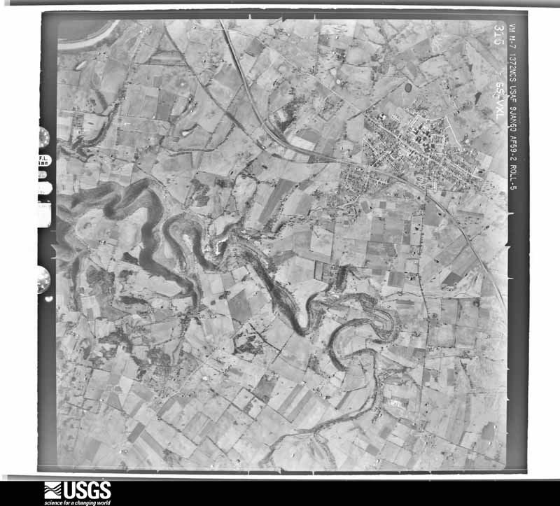
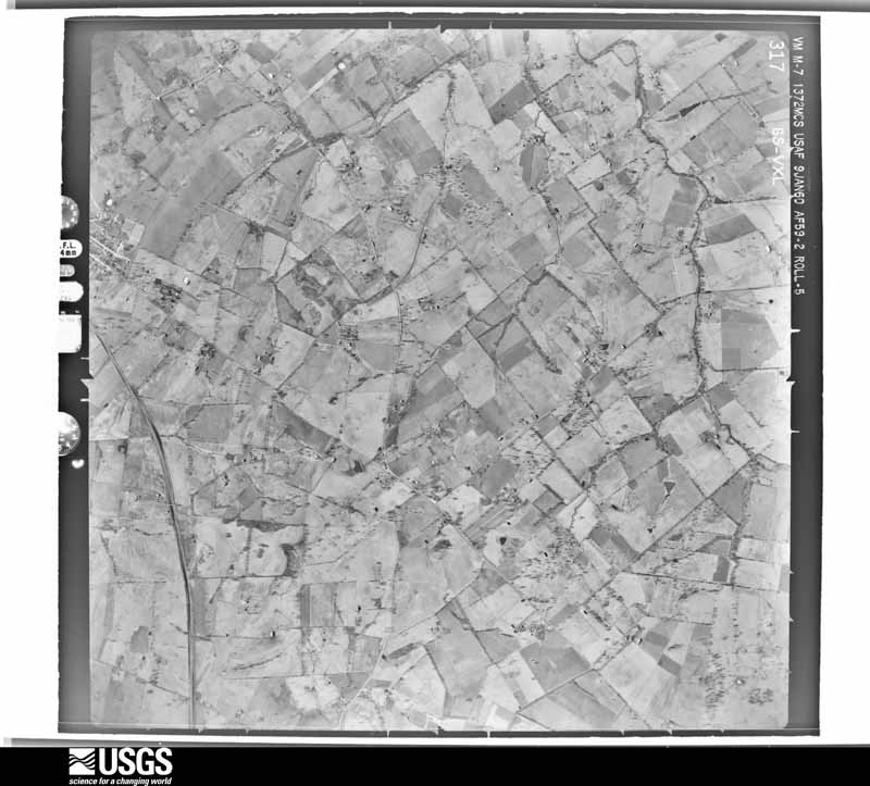
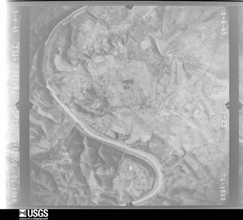
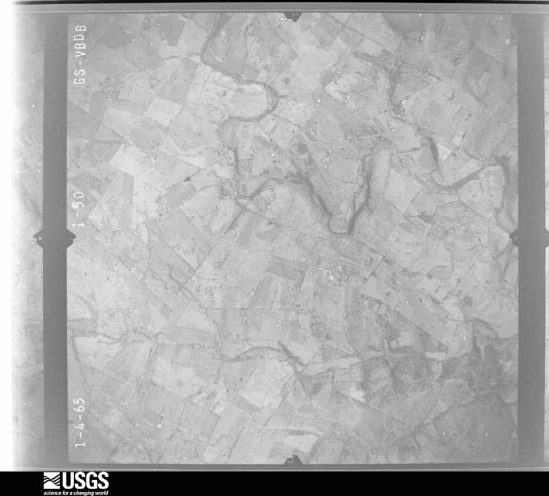
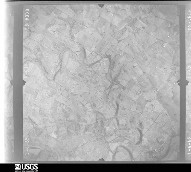
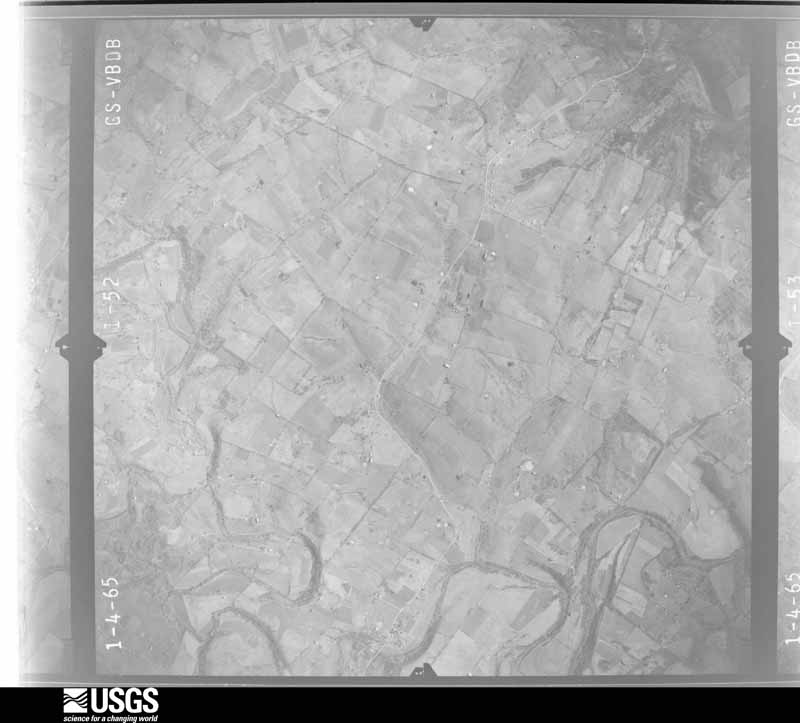
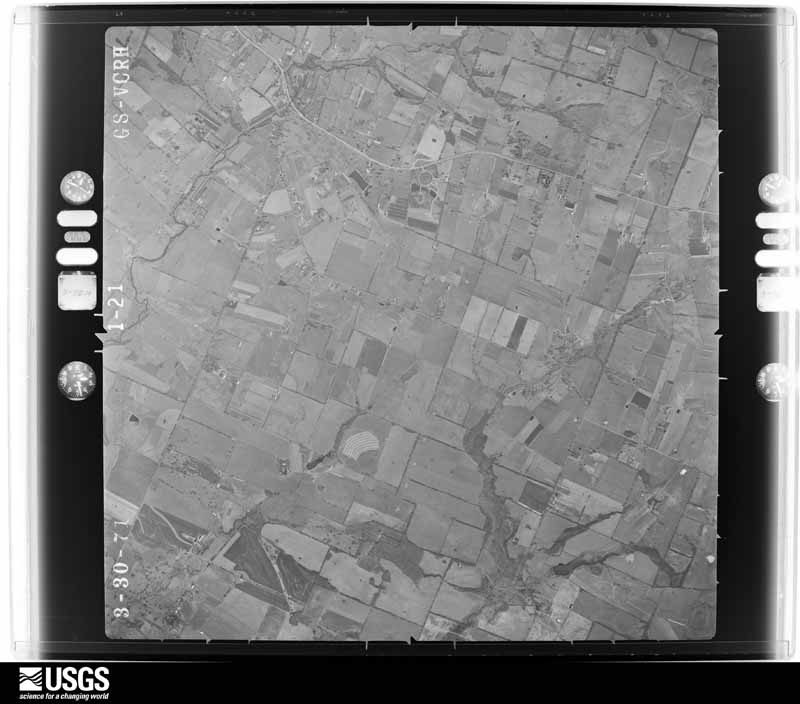
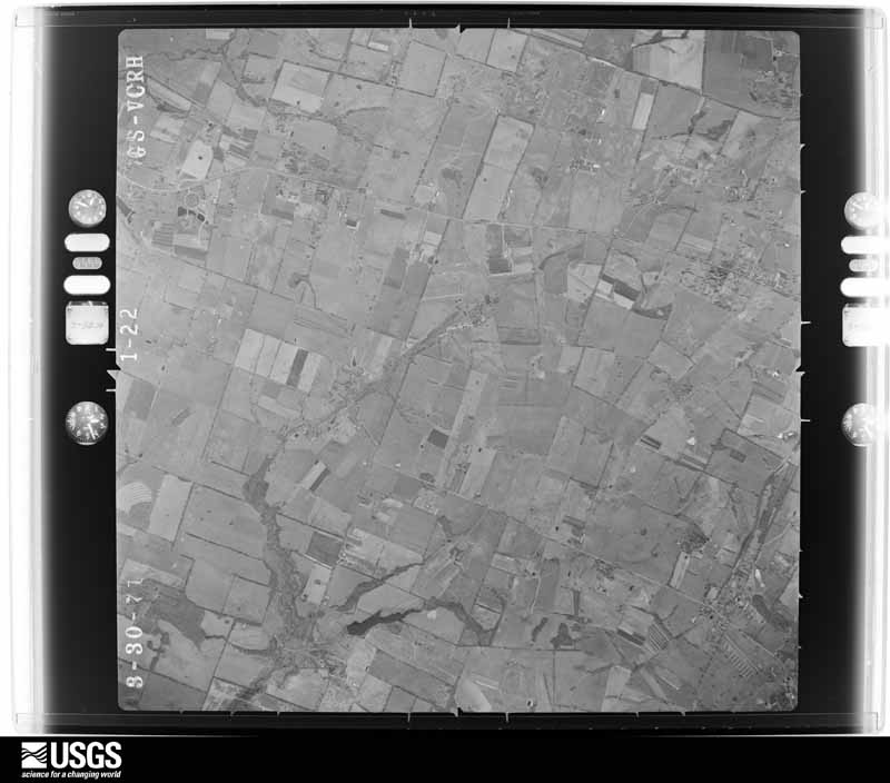
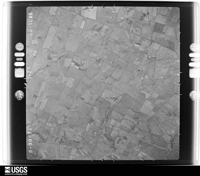
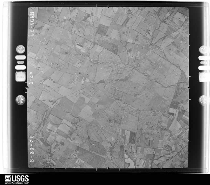
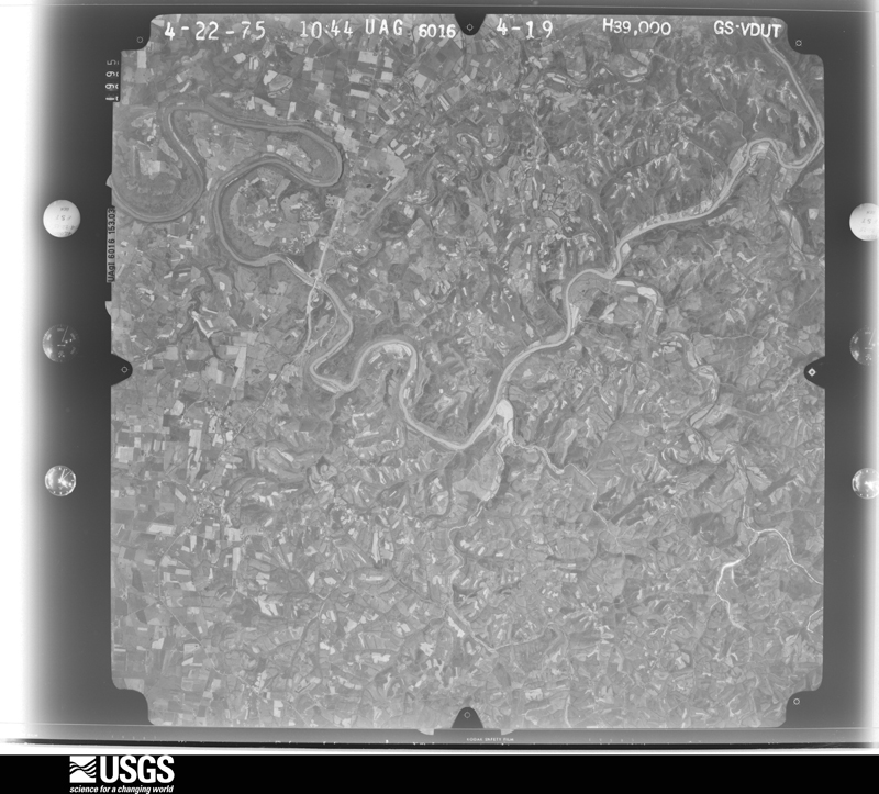
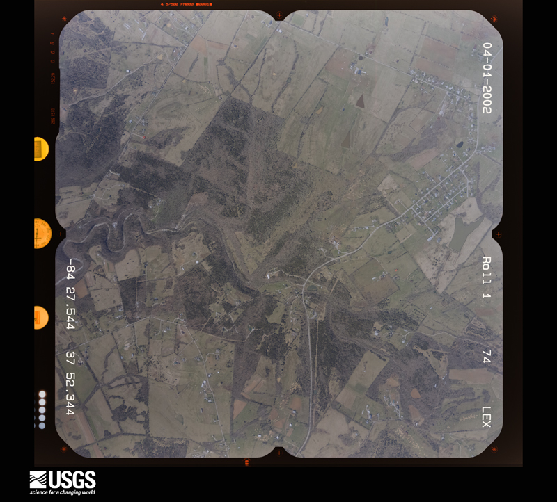
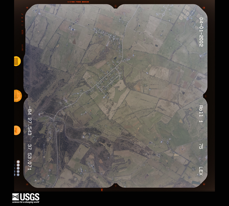
Flown by the U.S. Geological Survey between 1937 and 1989, the Aerial Photo Single Frames collection is the definitive mid-century view of the land: fields, roads and rivers as the camera saw them. The Survey holds 710 frames inside the rectangle that bounds this county; the 29 frames below were taken over the county itself, chosen across the decades of flights (at most four a year from that rectangle), so one flight cannot crowd out the rest. The full set is free to browse and download at EarthExplorer under the dataset Aerial Photo Single Frames.



The thermometers that kept this county's weather, and the gages that measured the flow of its streams, as the federal records hold them.
Who lived here in 1950, one enumeration district at a time, as the Census Bureau described each district. Each row opens its official National Archives result, with Population Schedules and ED Maps available there.
Every wildfire the federal occurrence database records inside this county: 3 of them, burning about 9 acres. None started naturally and none was recorded as arson. Each settlement page carries the fires within five miles of it.
| Reported cause | Fires |
|---|---|
| Missing data/not specified/undetermined | 1 |
| Equipment and vehicle use | 1 |
| Recreation and ceremony | 1 |
The five largest, by the area the report gives. None of them was recorded as arson.
| Date | Cause | Size | Reported by | Name on the report |
|---|---|---|---|---|
| 4 March 2006 | Missing data/not specified/undetermined | 5.0 acres | Kentucky Division of Forestry | not named |
| 27 March 2014 | Recreation and ceremony | 3.0 acres | Kentucky Division of Forestry | NEELY |
| 9 October 2010 | Equipment and vehicle use | 1.0 acres | Kentucky Division of Forestry | CAMP DANIEL BOONE FIRE |
Every settlement page carries the fires within five miles of it - see the settlement index below.
The NOAA Storm Events Database holds 178 reports for this county, causing 4 deaths, 34 injuries and about $1,598,500 in recorded property damage. Each settlement page carries the reports that name it.
| Kind of event | Reports |
|---|---|
| Thunderstorm Wind | 121 |
| Hail | 23 |
| Flash Flood | 13 |
| Flood | 9 |
| Tornado | 8 |
| Lightning | 3 |
| Heavy Rain | 1 |
The most serious of them, by death, then injury, then recorded damage. The accounts are quoted exactly as the forecast office filed them.
| When | Event | Place named | Harm | What the report says |
|---|---|---|---|---|
| May 2006 | Thunderstorm Wind | Nicholasville | 1 killed, $20,000 | A tree was blown on to a passing vehicle on U.S. Highway 68 near Catnip Road, killing the driver. |
| July 2012 | Lightning | Vineyard | 1 killed | A 67 year old female was struck by lightning in a field adjacent to her farm near Crenshaw Lane. She died at the University of Kentucky Medical Center. |
| May 2007 | Lightning | Nicholasville | 1 killed | A 55 year old man was struck by lightning and killed instantly as he was mowing his lawn. |
| September 2006 | Flash Flood | Countywide | 1 killed | A woman drowned when flowing water swept her vehicle off Little Hickman Road into a creek |
| May 1995 | Tornado (F2) | Wilmore | 30 hurt | no account filed |
| April 1968 | Tornado (F2) | not stated | 3 hurt, $250,000 | no account filed |
| April 1993 | Thunderstorm Wind | not stated | 1 hurt, $50,000 | Strong winds collapsed a small building at a golf course in the northern portion of the county. One man was slightly injured. |
| May 2010 | Flood | High Bridge | $500,000 | The Kentucky River at High Bridge Lock crested around 42.6 feet at 1 PM EST on May 4. Flood stage at High Bridge is 30 feet. Major flooding occurs at this level, with a large section of Wilmore flooded. |
| July 2018 | Flash Flood | Ambrose | $100,000 | West Lane near Hickman Creek Crossing was washed out from high water. |
| May 2010 | Flood | High Bridge | $100,000 | Six to eight inches of rain fell over Mercer county from May 1-2. This caused major flooding on the Kentucky River that lasted many days before receding. |
| February 2008 | Thunderstorm Wind | Vineyard | $100,000 | Straight line winds pushed a one storey house a foot off of its foundation. A section of the roof was also blown off and thrown 100 yards. Winds also destroyed a nearby shed, and uprooted several pine trees. |
| June 2017 | Thunderstorm Wind | Wilmore | $75,000 | A NWS Storm Survey team found sporadic wind damage along a 5.5 mile path near Wilmore. Several trees were downed along with some utility poles snapped or bent. There also minor structural damage. |
| April 2017 | Thunderstorm Wind | Brannon | $50,000 | The Jessamine County emergency manager reported trees down on power lines. Several hundred homes were without power. |
| February 2008 | Thunderstorm Wind | Nicholasville | $50,000 | Straight line winds destroyed a barn. |
| March 2008 | Thunderstorm Wind | Wilmore | $50,000 | Thunderstorm winds downed a tree, and the tree fell through a house. |
| June 2017 | Thunderstorm Wind | High Bridge | $45,000 | Jessamine County emergency manager reported numerous power poles and several large trees downed due to severe thunderstorm winds. |
| August 2020 | Lightning | Wilmore | $30,000 | Lightning struck a tree which brought down power lines and landed on a house. |
| March 2017 | Thunderstorm Wind | Wilmore | $25,000 | The Jessamine County emergency manager reported numerous trees down across roadways. A roof was blown off a sun room off a residence. |
| January 2013 | Thunderstorm Wind | Union Mills | $25,000 | A National Weather Service storm survey found sporadic damage from straight line winds along Union Mills Road between Mackey Pike and State Highway 1981. Two large barns were destroyed. Several trees were downed. Tin from a barn roof was thrown into a roadway. Based on damage, wind speeds were estimated at 65 to 70 mph. |
| June 1992 | Tornado (F0) | not stated | $25,000 | no account filed |
| November 2017 | Thunderstorm Wind | High Bridge | $20,000 | A tree fell on a residence in High Bridge. |
| June 2008 | Thunderstorm Wind | Nicholasville | $20,000 | Trees reported fallen on two vehicles. |
| December 2015 | Flood | Pink | $10,000 | The public reported to the NWS that heavy rain flooded portions of Brumfield Lane and Little Hickman Road. |
| June 2007 | Thunderstorm Wind | Keene | $10,000 | A fire station sustained roof damage and trees were downed. |
| May 2014 | Thunderstorm Wind | Logana | $5,000 | Local law enforcement reported multiple trees down near the intersection of Tate's Creek and East Hickman Roads. Two miles to the west at around the same time, a tree fell on a garage. |
| May 2014 | Thunderstorm Wind | Wilmore | $5,000 | A section of a roofing cover was blown off of a building. |
| September 2007 | Thunderstorm Wind | Wilmore | $5,000 | An old tree was blown on to a house. |
| November 2002 | Thunderstorm Wind | Camp Nelson | $5,000 | Four trees were blown down. One of them fell on a car. |
| March 1993 | Thunderstorm Wind | not stated | $5,000 | Trees were blown down in Wilmore. |
| May 2016 | Thunderstorm Wind | Dixon Town | $4,000 | The Jessamine County emergency manager reported trees down on power lines in the town of Keene. There were also reports of quarter sized hail in the area. |
| February 2008 | Thunderstorm Wind | Camp Nelson | $3,500 | The Wolf Run Wild Life Refuge near Camp Nelson had extensive roof damage. |
| October 2013 | Thunderstorm Wind | Nicholasville | $3,000 | The Jessamine County emergency manager relayed several reports of trees and power lines down across the county. |
| June 2005 | Thunderstorm Wind | Nicholasville | $3,000 | Numerous trees were blown down. One tree was blown on to a vehicle. |
| September 2000 | Thunderstorm Wind | Nicholasville | $3,000 | no account filed |
| June 1999 | Thunderstorm Wind | Wilmore | $2,000 | Minor damage to structures and some trees down |
| October 2025 | Tornado (EF1) | Nicholasville | - | The National Weather Service in Louisville found a tornado occurred on Sunday October 19th in west Nicholasville at the RJ Corman Group complex near Highway 27. The tornado is believed to have started off as a cold air funnel that was able to briefly get down to the surface. The tornado touched down at Big Tunnel Road near Jessamine Creek with uprooted trees and large branch damage. From the damage, there was a convergent signature that is consistent with a tornadic circulation. The tornado moved across a field and more tree damage was observed near RJ Corman Drive. The tornado then hit an RJ Corman warehouse where two garage doors were blown out and a portion of the warehouse wall was pulled away from the building. Security camera footage confirms that a very small funnel caused the damage to the building. Pieces of insulation, wood planks, and metal from the walls of the building were lifted to the rooftop. On the roof of the building, three HVAC units were displaced from their locations. The maximum sustained winds were 90 mph at the metal building. The tornado continued across a paved lot and ended shortly after RJ Corman Drive to the west of US Highway 27 for a total distance of 0.65 miles. |
| April 2024 | Tornado (EF1) | Brannon | - | The National Weather Service conducted a storm damage assessment survey in Jessamine County from the storms mid-morning, April 2.||The tornado touched down on the northeast side of Nicholasville off of US 27 just south of the Sam's Club, but north of the Providence school. The tornado touched down just west of US 27 by storage shed roadside company. Two of the storage sheds were picked up and thrown onto the highway. Winds speeds were 90 mph (EF1), with a damage width of 75 yards. ||The tornado crossed US 27 and increased in speed and size, going into the Park Central Industrial Park doing the most extensive damage of the short tornado track. Many buildings and warehouses had significant portions of their roof torn apart, doors blown |out, and wall panels pulled away from their buildings. Buildings that did not lose any part of the roof had numerous shingles removed from the top of the roofs.||There were impalements of boards and drywall into surrounding buildings and the ground. Winds speeds were 110 mph, EF1, with a width of 150 yards. A car lot had 3 vehicles picked up and flipped over and a very heavy travel trailer was moved 20 yards and shifted 30 degrees to the east northeast. Debris from the industrial park was thrown into a heavily wooded area and thrown in directions from the east northeast all the way to the southeast. |
| April 2024 | Tornado (EF1) | Dixon Town | - | After the tornado crossed into Jessamine County from Woodford County, the tornado took a bit of left turn towards a property where it caused damage to multiple structures. Two barns were demolished and another had significant roof damage. One barn was pushed in two directions off its stone foundation. The damage path for part of the barn went to the southeast and another part went farther downstream to the northeast. The tornado broke a couple more limbs before lifting. The EF1 tornado was on the ground for a total of 1.82 miles from where it began in Woodford County and ended in Jessamine County. |
| April 2024 | Thunderstorm Wind | Almahurst | - | Trees fell down at the intersection of Harrodsburg Road and Matthews Lane. |
| July 2024 | Thunderstorm Wind | Brannon | - | A large tree was blown down on Brannon Road. |
| January 2023 | Thunderstorm Wind | Nicholasville | - | Portions of a tin roof were peeled off of a barn by strong winds at the Jessamine County fairgrounds. |
| June 2023 | Hail | Brannon | - | Quarter sized hail was observed in northern Jessamine County. |
| June 2023 | Thunderstorm Wind | Wilmore | - | There were reports of several trees down. |
| July 2023 | Hail | Nicholasville | - | Quarter sized hail was observed near Nicholasville. |
| May 2022 | Hail | Wilmore | - | Baseball-sized hail was observed in Wilmore. |
| May 2022 | Hail | Wilmore | - | Two inch diameter hail was observed near Wilmore. |
| May 2022 | Hail | Ambrose | - | Quarter-sized hail was observed south of Nicholasville. |
| July 2022 | Thunderstorm Wind | Nicholasville | - | A tree fell and blocked East Brown Street. |
| June 2022 | Thunderstorm Wind | Union Mills | - | Trees were down on Bethany Road. |
| June 2022 | Thunderstorm Wind | Dixon Town | - | Trees fell on Delaney Ferry Road. |
| June 2022 | Thunderstorm Wind | Dixon Town | - | A tree fell down on Clear Creek Road. |
| July 2021 | Thunderstorm Wind | Brannon | - | A tree fell on a mobile home. No injuries were reported. |
| June 2021 | Thunderstorm Wind | Brannon | - | Some downed trees and localized flooding were reported in the northern part of the county. |
| January 2020 | Thunderstorm Wind | Nicholasville | - | There were numerous reports of trees and power poles down causing power outages. |
| May 2020 | Thunderstorm Wind | Wilmore | - | There was a report of a tree down on Handys Bend Road. |
| May 2020 | Thunderstorm Wind | Wilmore | - | Dispatch reported a tree down on Grows Mill Road. |
| May 2020 | Thunderstorm Wind | Nicholasville | - | Dispatch reported a tree down on Heather Way. |
| May 2020 | Thunderstorm Wind | Nicholasville | - | There was a report of a tree down on Barnes Street. |
| July 2019 | Thunderstorm Wind | Vineyard | - | A tree was reported down. |
| June 2018 | Flood | Vineyard | - | There was flooding on US 27 in southern Jessamine County. |
The Survey's mineral resources record lists 4 workings inside this county. 2 still produce and 2 are closed or unrecorded. Each settlement page carries the workings within five miles of it.
| Commodity | Workings |
|---|---|
| Zinc | 3 |
| Fluorine-Fluorite, Barium-Barite | 1 |
| Fluorine-Fluorite | 1 |
| Stone, Crushed/Broken | 1 |
| Sand and Gravel, Construction | 1 |
The least common of them first, because a county's hundredth gravel pit says nothing its first ten did not.
| Where | Site | Commodity | Status | Recorded |
|---|---|---|---|---|
| Ambrose Fault Vein | Fluorine-Fluorite, Barium-Barite, Zinc | Past Producer | Barite, Fluorite, Sphalerite | |
| H M Mine | Fluorine-Fluorite | Past Producer | ||
| Lexington Quarry Company | Stone, Crushed/Broken, Zinc | Producer | ||
| Miss Kate | Sand and Gravel, Construction, Zinc | Plant |
One book written about this county, cut here where the book itself is cut, at its printed chapters: 1 chapter in all. Every chapter is public domain, machine-read from the scan and reproduced complete. A chapter already given under one of the county's towns is not repeated in this list.
| Chapter | Length |
|---|---|
| The whole text | 75,070 words in 5 parts |
Named settlements recorded in the Geographic Names Information System, each with the topographic sheets covering it. Villages, hamlets and abandoned places alike. Each is shown with the nearest named watercourse or landform and the survey quadrangle it falls on. The 2 places that were also surveyed for fire insurance come first, with the number of atlases and photographs held for them.
Nicholasville census division · 40356 · Nicholasville quadrangle
15 sheets, 1905 to 1991
Fire insurance: 7 atlases
Wilmore census division · 40390 · Wilmore quadrangle
12 sheets, 1905 to 1991
Fire insurance: 3 atlases
Nicholasville census division · 40356 · On Town Fork · Little Hickman quadrangle
15 sheets, 1905 to 1991
No longer a settlement
Keene census division · 40356 · Nicholasville quadrangle
15 sheets, 1905 to 1991
No longer a settlement
Nicholasville census division · 40356 · Little Hickman quadrangle
15 sheets, 1905 to 1991
No longer a settlement
Keene census division · 40383 · Near Meridian Hill · Keene quadrangle
12 sheets, 1905 to 1991
Nicholasville census division · 40356 · Little Hickman quadrangle
15 sheets, 1905 to 1991
No longer a settlement
Nicholasville census division · 40356 · Near Boones Knob · Little Hickman quadrangle
15 sheets, 1905 to 1991
Wilmore census division · 40390 · On Town Fork · Nicholasville quadrangle
15 sheets, 1905 to 1991
Keene census division · 40356 · Nicholasville quadrangle
15 sheets, 1905 to 1991
No longer a settlement
Nicholasville census division · 40356 · Little Hickman quadrangle
15 sheets, 1905 to 1991
Nicholasville census division · 40356 · Little Hickman quadrangle
15 sheets, 1905 to 1991
Keene census division · 40356 · Near Catnip Hill · Nicholasville quadrangle
15 sheets, 1905 to 1991
Nicholasville census division · 40356 · On Little Hickman Creek · Little Hickman quadrangle
15 sheets, 1905 to 1991
No longer a settlement
Wilmore census division · 40356 · On Town Fork · Wilmore quadrangle
12 sheets, 1905 to 1991
No longer a settlement
Wilmore census division · 40390 · On Indian Creek · Wilmore quadrangle
12 sheets, 1905 to 1991
No longer a settlement
Nicholasville census division · 40356 · On Lick Branch · Little Hickman quadrangle
15 sheets, 1905 to 1991
Nicholasville census division · 40356 · On Marshall Branch · Nicholasville quadrangle
15 sheets, 1905 to 1991
No longer a settlement
Nicholasville census division · 40356 · Little Hickman quadrangle
15 sheets, 1905 to 1991
No longer a settlement
Nicholasville census division · 40356 · On Little Hickman Creek · Buckeye quadrangle
10 sheets, 1905 to 1991
No longer a settlement
Nicholasville census division · 40356 · On Marshall Branch · Nicholasville quadrangle
15 sheets, 1905 to 1991
Nicholasville census division · 40356 · On Elm Fork · Little Hickman quadrangle
15 sheets, 1905 to 1991
No longer a settlement
Keene census division · 40356 · Nicholasville quadrangle
15 sheets, 1905 to 1991
No longer a settlement
The vanished settlements of Jessamine County: the places named above that are no longer on the map.
15 topographic sheets and 7 fire insurance atlases, 1886 to 1940
12 topographic sheets and 3 fire insurance atlases, 1919 to 1929
The complete index, with nothing left out. Each of these is a separate record with its own page: a federal survey report, or the case file that argued a property on to the National Register. Both are public domain and reproduced word for word.
The vanished settlements of Jessamine County, the places these records name that are no longer on the map.