 Block
Brannon, Kentucky
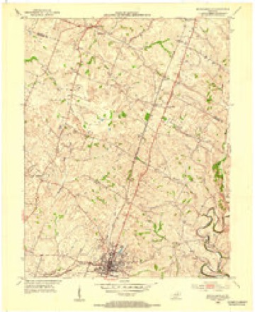
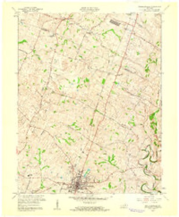
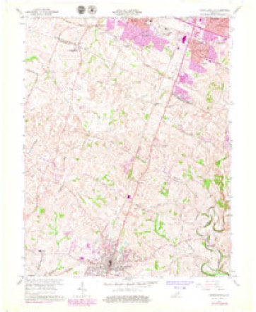
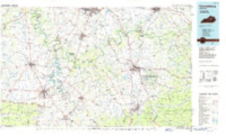
15 topographic sheets cover this place, the earliest surveyed in 1905 and the latest in 1991. It stands in the Keene census division. It lies in ZIP code area 40356. The Survey maps it on the Nicholasville quadrangle.
On record in Brannon
Buildings and businesses the archive holds for this place. Each opens its own page, with the source record it came from.
On the National Register within a mile 4 records
The National Register names another town for these. They stand within one mile of this settlement's coordinate.
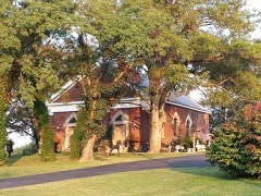 Providence Churchlisted 1984 · 0.5 miles away
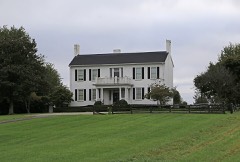 Sunnyside Farm Houselisted 1984 · 0.6 miles away
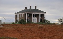 Marshall-Bryan Houselisted 1984 · 0.8 miles away
- Shady Grovelisted 1985 · 0.7 miles away
Topographic sheets covering this place
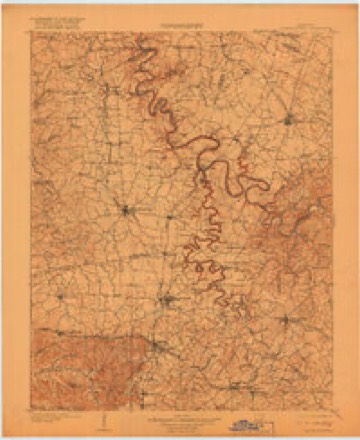
8 surveys from 15 printed sheetsMatched by testing this settlement's coordinate against the published boundary of every sheet in the United States Geological Survey's historical collection. Each opens the scanned sheet at the Survey.
- 1905 USGS Harrodsburg quadrangle1:125000, 3 printings
- 1952 USGS Nicholasville quadrangle1:24000
- 1957 USGS Winchester quadrangle1:250000, 3 printings
- 1959 USGS Nicholasville quadrangle1:24000
- 1960 USGS Winchester quadrangle1:250000
- 1965 USGS Nicholasville quadrangle1:24000, 4 printings
- 1986 USGS Harrodsburg quadrangle1:100000
- 1991 USGS Harrodsburg quadrangle1:100000


Fires near this place
1 since 2014Regional context, not property-specific evidence. The federal wildfire occurrence database lists 1 fire within 5 miles of Brannon in 2014, burning about 3 acres in total. None started naturally. None was recorded as arson. Distance is straight-line from the map coordinates, so a fire counted here may appear on a neighbouring settlement's page as well.
| Reported cause | Fires |
|---|---|
| Recreation and ceremony | 1 |
The most recent of them, most recent first, with the day each was reported and the service that recorded it.
| Date | Cause | Size | Reported by | Name on the report |
|---|---|---|---|---|
| 27 March 2014 | Recreation and ceremony | 3.0 acres | Kentucky Division of Forestry | NEELY |
Settlements close enough to share some of these fires:
Mines and quarries near this place
2 within 5 milesRegional context, not property-specific evidence. The federal mineral resources record lists 2 workings within 5 miles of Brannon: 1 producer, 1 plant. All of them still produce. What was taken out: Zinc, Stone, Crushed/Broken, Sand and Gravel, Construction. Distance is straight-line from the map coordinates, so a quarry counted here may appear on a neighbouring settlement's page as well.
| Where | Site | Commodity | Status | Recorded |
|---|---|---|---|---|
| Lexington Quarry Company | Stone, Crushed/Broken, Zinc | Producer | ||
| Miss Kate | Sand and Gravel, Construction, Zinc | Plant |
Storms near this place
11 since 1996Regional context, not property-specific evidence. The National Weather Service names Brannon in 11 storm reports between 1996 and 2024: 7 thunderstorm wind, 2 hail, 1 flood, 1 tornado. No death or injury is recorded in these reports. Each account below is quoted exactly as the forecast office filed it, from the NOAA Storm Events Database, and each date opens the federal record of that event.
| When | Event | Place named | Harm | What the report says |
|---|---|---|---|---|
| April 2017 | Thunderstorm Wind | Brannon | $50,000 | The Jessamine County emergency manager reported trees down on power lines. Several hundred homes were without power. |
| April 2024 | Tornado (EF1) | Brannon | - | The National Weather Service conducted a storm damage assessment survey in Jessamine County from the storms mid-morning, April 2.||The tornado touched down on the northeast side of Nicholasville off of US 27 just south of the Sam's Club, but north of the Providence school. The tornado touched down just west of US 27 by storage shed roadside company. Two of the storage sheds were picked up and thrown onto the highway. Winds speeds were 90 mph (EF1), with a damage width of 75 yards. ||The tornado crossed US 27 and increased in speed and size, going into the Park Central Industrial Park doing the most extensive damage of the short tornado track. Many buildings and warehouses had significant portions of their roof torn apart, doors blown |out, and wall panels pulled away from their buildings. Buildings that did not lose any part of the roof had numerous shingles removed from the top of the roofs.||There were impalements of boards and drywall into surrounding buildings and the ground. Winds speeds were 110 mph, EF1, with a width of 150 yards. A car lot had 3 vehicles picked up and flipped over and a very heavy travel trailer was moved 20 yards and shifted 30 degrees to the east northeast. Debris from the industrial park was thrown into a heavily wooded area and thrown in directions from the east northeast all the way to the southeast. |
| July 2024 | Thunderstorm Wind | Brannon | - | A large tree was blown down on Brannon Road. |
| June 2023 | Hail | Brannon | - | Quarter sized hail was observed in northern Jessamine County. |
| July 2021 | Thunderstorm Wind | Brannon | - | A tree fell on a mobile home. No injuries were reported. |
| June 2021 | Thunderstorm Wind | Brannon | - | Some downed trees and localized flooding were reported in the northern part of the county. |
| July 2015 | Thunderstorm Wind | Brannon | - | A Kentucky transportation official reported 3 trees down along Highway 68. |
| July 2015 | Thunderstorm Wind | Brannon | - | The Jessamine County emergency manager reported trees down on Catnip Hill Road as well as Mackie Pike. |
| June 2014 | Flood | Brannon | - | Heavy rain shut down a road briefly near the BP Gas Station on Catnip Hill. |
| June 2008 | Thunderstorm Wind | Brannon | - | Trees and power lines down 8 miles southwest of Lexington. |
| May 1996 | Hail | Brannon | - | no account filed |
Nearest settlements
The eight closest, with where each one stands in the county. Distances are straight-line, computed from the Geographic Names Information System coordinates.
| Map | Place | Distance | Sheets |
|---|---|---|---|
| Catnip | 1.9 miles | 15 | |
| Nealton | 3.4 miles | 15 | |
| Red Oak (historical) | 4.7 miles | 15 | |
| Union Mills | 5.1 miles | 15 | |
| Cobbs Service Station (historical) | 5.2 miles | 15 | |
| Keene | 5.2 miles | 12 | |
| Wilmore Park (historical) | 5.5 miles | 15 | |
| Nicholasville | 5.6 miles | 15 |
Provenance
This settlement is recorded in the Geographic Names Information System as feature 507574. The sheet list is computed by point-in-boundary test against the United States Geological Survey's historical topographic inventory. Both are works of the United States government and carry no copyright under 17 U.S.C. 105.
Wildfire. Short, Karen C. 2022. Spatial wildfire occurrence data for the United States, 1992-2020 [FPA_FOD_20221014]. 6th Edition. Fort Collins, CO: Forest Service Research Data Archive. https://doi.org/10.2737/RDS-2013-0009.6 Collected with United States Government funding and usable without additional permissions or fees.
Mines and quarries. USGS Mineral Resources Data System (MRDS) https://mrdata.usgs.gov/mrds/ A work of the United States government, no copyright under 17 U.S.C. 105.
Storms. NOAA National Centers for Environmental Information, Storm Events Database https://www.ncei.noaa.gov/stormevents/ A work of the United States government, no copyright under 17 U.S.C. 105. Narratives are quoted verbatim from the National Weather Service report and are not edited or summarised.