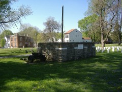
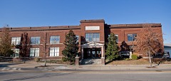
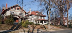
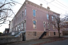
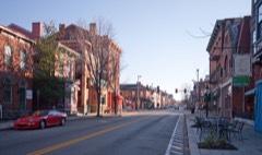
BlockBefore

Kenton County, Kentucky

57 topographic sheets and 9 fire insurance atlases across 1 place.

Research this county

From the record

76 National Register listings published here, 2 of them National Historic Landmarks.

Sources: the National Register database, National Park Service

Kentucky within the United States
Kenton County within Kentucky

What the record shows

  • 1 place in this county was surveyed for fire insurance: Covington, between 1886 and 1954.
  • 9 fire insurance atlases survive for the county. Topographic coverage is national; fire insurance survey reached only incorporated places with something worth insuring.
  • 968 topographic sheet readings cover the county's settlements.
  • 76 properties here are on the National Register of Historic Places: 37 buildings, 34 districts, 2 structures, 2 objects and 1 site.
  • 8 of the 76 listings were added during the 1970s.
  • The Geographic Names Information System records 63 populated places in this county; 63 are covered by at least one topographic sheet.

Photographs

11 photographs, 2020

Taken for the Office of War Information and the Farm Security Administration, who photographed the country between 1935 and 1944. Works of United States government photographers, with no known restriction on use. Each opens its catalogue record.
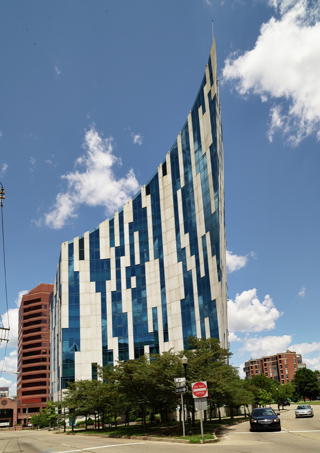
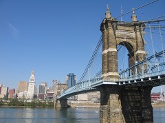
The modernist and highly unusual Ascent Building, a curved apartment building that comes to a sharp point overlooking the John A. Roebling Suspension Bridge on the Covington, Kentucky, side of the Ohio River, across from Cincinnati
Highsmith, Carol M, 2020. Library of Congress
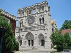
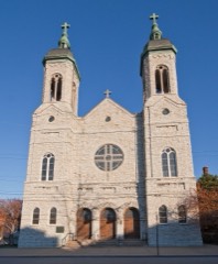
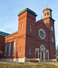
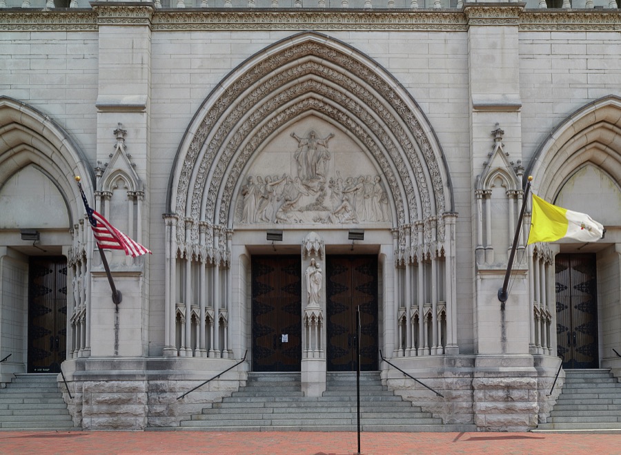
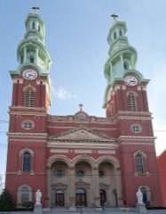
Entrance to the Catholic Cathedral Basilica of the Assumption in Covington, Kentucky, an Ohio River city across from the larger Cincinnati, Ohio
Highsmith, Carol M, 2020. Library of Congress
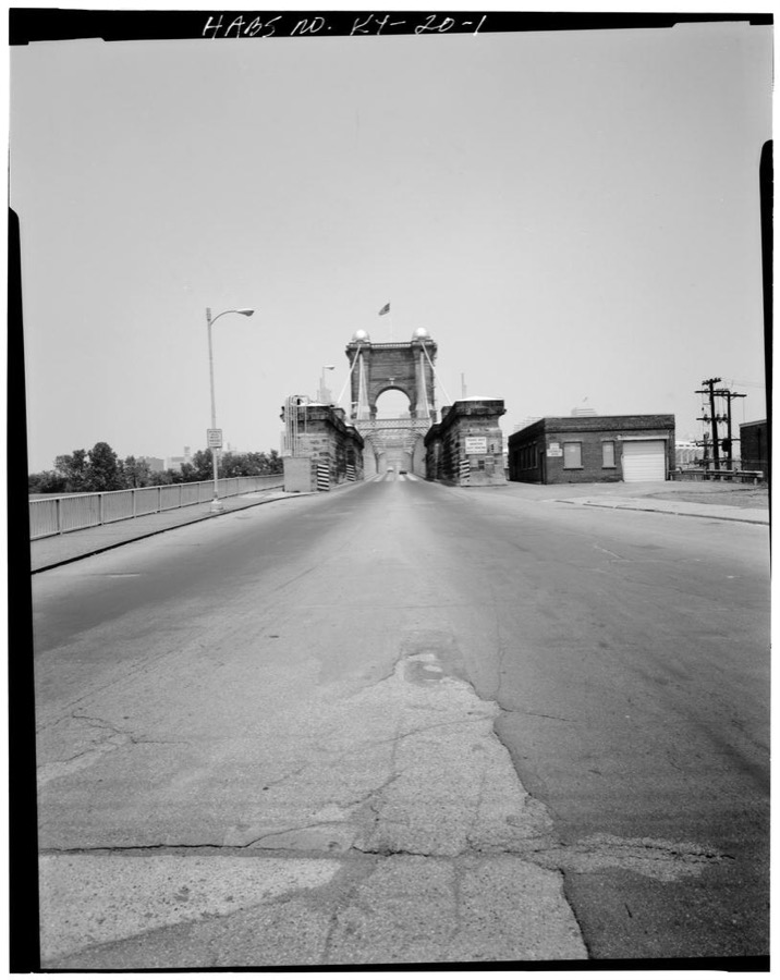
Covington & Cincinnati Suspension Bridge, Spanning Ohio River, Covington, KY-Cincinnati, OH, Covington, Kenton County, KY
Photographer not recorded. Library of Congress
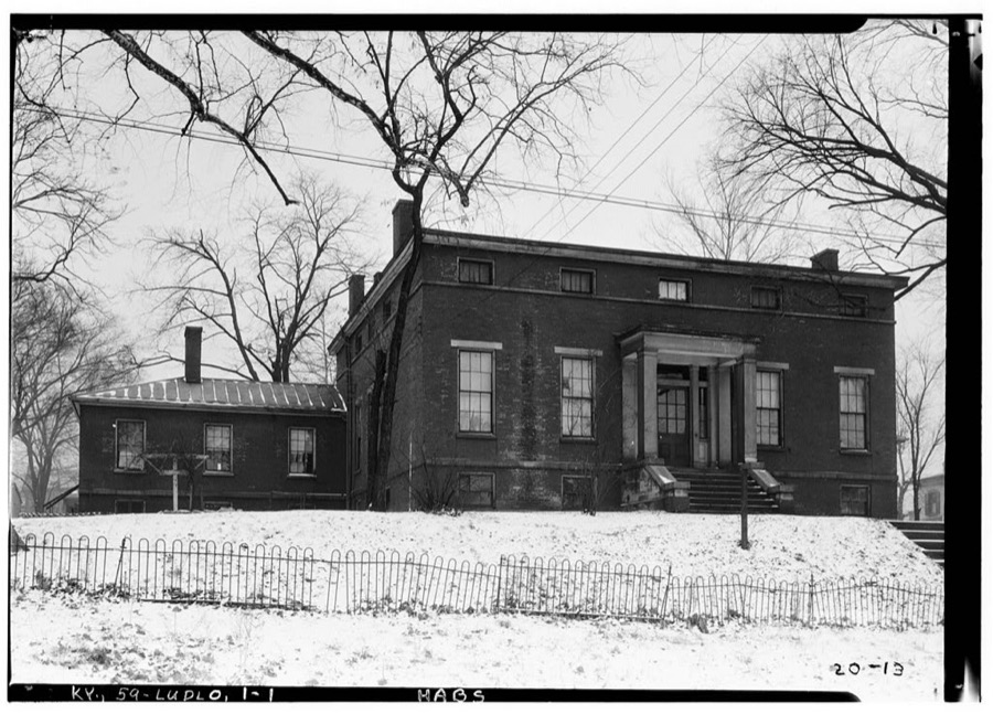
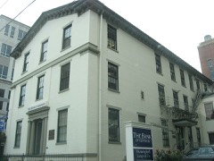
Old Closson House, Closson Court & Ringold Streets, Ludlow, Kenton County, KY
Photographer not recorded. Library of Congress
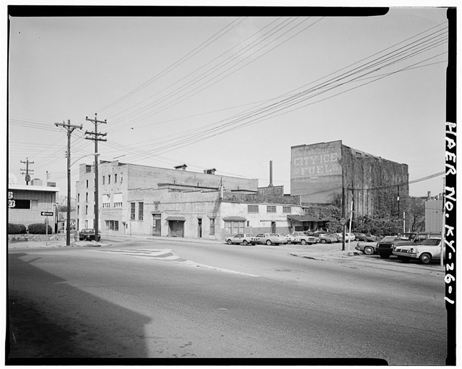
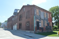
Champion Ice Manufacturing & Cold Storage Company, 40 East Second Street, Covington, Kenton County, KY
Photographer not recorded. Library of Congress
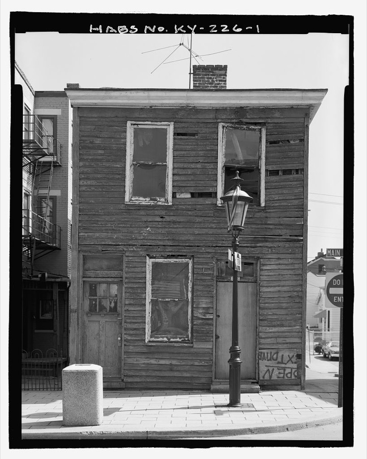
VonHoene Building, 618 Main Street, Covington, Kenton County, KY
Photographer not recorded. Library of Congress
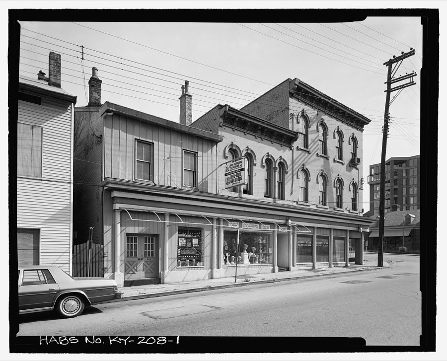
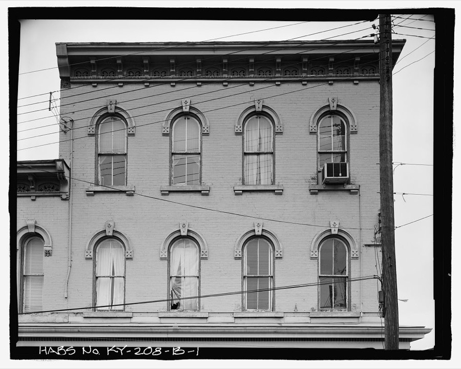
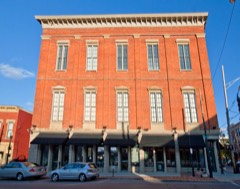
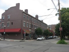
Boro Brothers Building, 116-120 East Second Street, Covington, Kenton County, KY
Photographer not recorded. Library of Congress
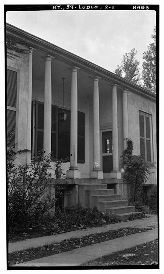
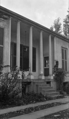
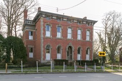
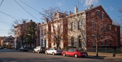
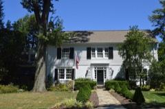
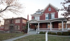
Elmwood Hall, 246 Forest Avenue, Ludlow, Kenton County, KY
Photographer not recorded. Library of Congress
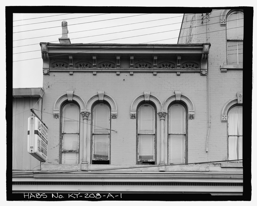
Boro Brothers Building, Confectionary & Saloon, 118-120 East Second Street, Covington, Kenton County, KY
Photographer not recorded. Library of Congress
Boro Brothers Building, Office, 116 East Second Street, Covington, Kenton County, KY
Photographer not recorded. Library of Congress
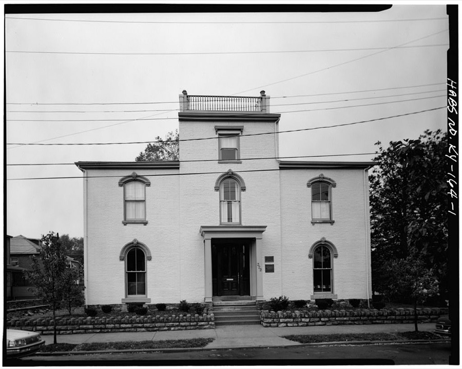
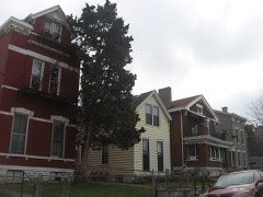
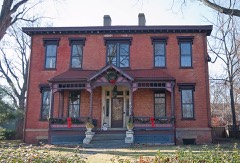
Daniel Carter Beard House, 322  East Third Street, Covington, Kenton County, KY
Daniel Carter Beard House, 322 East Third Street, Covington, Kenton County, KY
Photographer not recorded. Library of Congress

Places on the National Register

76

Every property in this county listed on the National Register of Historic Places, with the year it was listed and the federal nomination document.

Photograph PropertyType ListedReference
Austinberg Historic Districtdistrict198786003483
Battery Bates and Battery Coombsdistrict2018100002920
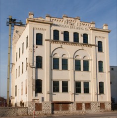
Bavarian Brewing Companybuilding199696000281
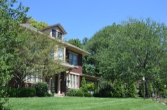
Daniel Carter Beard Boyhood Homebuilding196666000360
Beechwood Historic Districtdistrict198989001168
Cathedral Basilica of the Assumptionbuilding197373000812
Central Ludlow Historic Districtdistrict198484000526
Covington Downtown Commercial Historic Districtdistrict198383002804
Covington Downtown Commercial Historic District (Boundary Increase)district199191000457
Covington Downtown Commercial Historic District (Boundary Increase)district200101001252
Covington Downtown Commercial Historic District (Boundary Increase)district199695001525
Covington and Cincinnati Suspension Bridgestructure197575000786
Dixie Highway Historic Districtdistrict198888000146
Frank Duveneck House and Studiobuilding201515000652
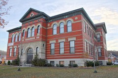
Eleventh District Schoolbuilding198383002805
Elmwood Hallbuilding197272000541
Emery Rowbuilding198585002820
Emery-Price Historic Districtdistrict198786003484
Erlanger Proper Subdivision Historic Districtdistrict200202000918
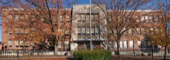
Fifth District Schoolbuilding200505001320
Fort Mitchell Heights Historic Districtdistrict198989001169
Fourth District Elementary Schoolbuilding201009001309
GAR Monument in Covingtonobject199797000684
Hearne Housebuilding197474000888
Helentown Historic Districtdistrict198786003481
Hellman Lumber and Manufacturing Companybuilding201515000084
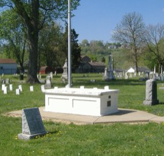
Highland Cemetery Historic Districtdistrict198989001585
Holy Cross Church and School Complex-Latoniadistrict198686000800
House at 855-857 Oak Streetbuilding198484000320
House at 859 Oak Streetbuilding198484000329
Independence Historic Districtdistrict202416000500
JOHN W. HUBBARD (sternwheeler)structure198282002729
Kenney's Crossingbuilding199090000481
Kenton County Librarybuilding197272000540
Kruempelman Farmhousebuilding198989001171
LaSalette Academybuilding201111000791
Lee-Holman Historic Districtdistrict199696000798
Lewisburg Historic Districtdistrict199393001165
Licking Riverside Historic Districtdistrict197575000787
Lincoln-Grant Schoolbuilding201313000562
Linden Grove Cemeterysite200100001600
Ludlow Lagoon Clubhousebuilding198484000348
Ludlow Theater, Thebuilding201313000111
Magnus Metal Company Buildingbuilding2023100009531
Maxwell Housebuilding198484000350
Prettyman Merry Housebuilding198787000203
Metcalfe-Stephens Housebuilding199898001290
Moser Family Housesbuilding200000000858
Mother Of God Roman Catholic Churchbuilding197373000813
Mutter Gottes Historic Districtdistrict198080004499
Mutter Gottes Historic District (Boundary Increase)district198080004552
Northern Bank of Kentuckybuilding199898001487
Odd Fellows Hallbuilding198080001646
Ohio Riverside Historic District (Boundary Increase)district198787000612
Old Fort Mitchell Historic Districtdistrict198989001170
Overman & Schrader Cordage Companybuilding2025100011678
Park Hills Historic Districtdistrict200807001252
Robert Patton Housebuilding198484001789
Peaselburg Neighborhood Historic Districtdistrict201716000501
Pleasant Run Stone House Ibuilding198787000153
Pleasant Run Stone House IIbuilding198787000154
Ritte's Corner Historic District, Latoniadistrict198787000776
Ritte's Corner Historic District, Latonia (Boundary Increase)district200100001598
Ritte's East Historic Districtdistrict201414000459
Riverside Drive Historic Districtdistrict197171000350
Seminary Square Historic Districtdistrict198080001647
Amos Shinkle Summer Residencebuilding198383002806
St. Augustine Church Complexbuilding200505001321
The Wolke Housebuilding2025100011311
Trinity Episcopal Churchbuilding198282002730
Veteran's Monument in Covingtonobject199797000685
Wadsworth Electric Manufacturing Companybuilding199493001585
Wallace Woods Area Residential Historic Districtdistrict198383002807
West Fifteenth Street Historic Districtdistrict198786003485
West Side-Main Strasse Historic Districtdistrict198383003650
Yeager, William A., and Edward Mohr Farmsteaddistrict199494001380

Photographs from libraries nationwide

17 of 21 shown

Selected from the Digital Public Library of America's 21 image records catalogued for this county. Every one shown here carries a public-domain status or a licence that permits reuse on a site that carries advertising; non-commercial, share-alike and restricted images are excluded. The selection is spread across the county's towns (at most eight per town), so no single institution's bulk upload crowds out the rest. Each opens the holding library's record, and the complete set at the Digital Public Library of America is one click away.
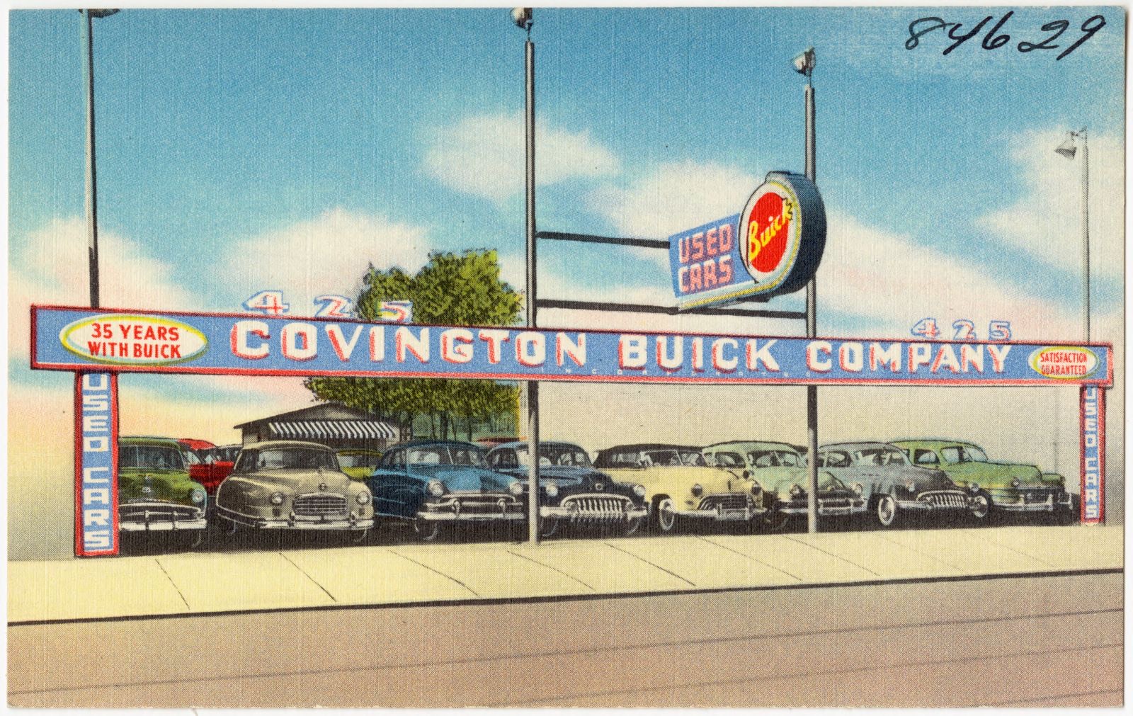
Covington Buick Co., 425 Madison Ave., Covington, KY., Boston Public Library - undated
Covington Buick Co., 425 Madison Ave., Covington, KY.. Boston Public Library, via the Digital Public Library of America.
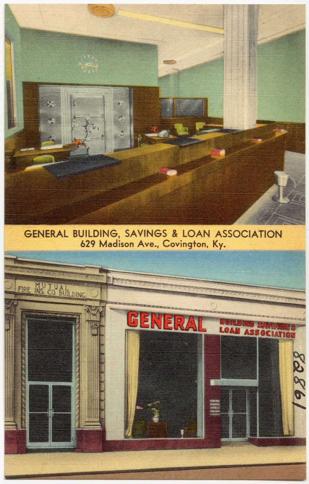
General Building, Savings & Loan Association, 629 Madison Ave., Covington, Ky., Boston Public Library - undated
General Building, Savings & Loan Association, 629 Madison Ave., Covington, Ky.. Boston Public Library, via the Digital Public Library of America.
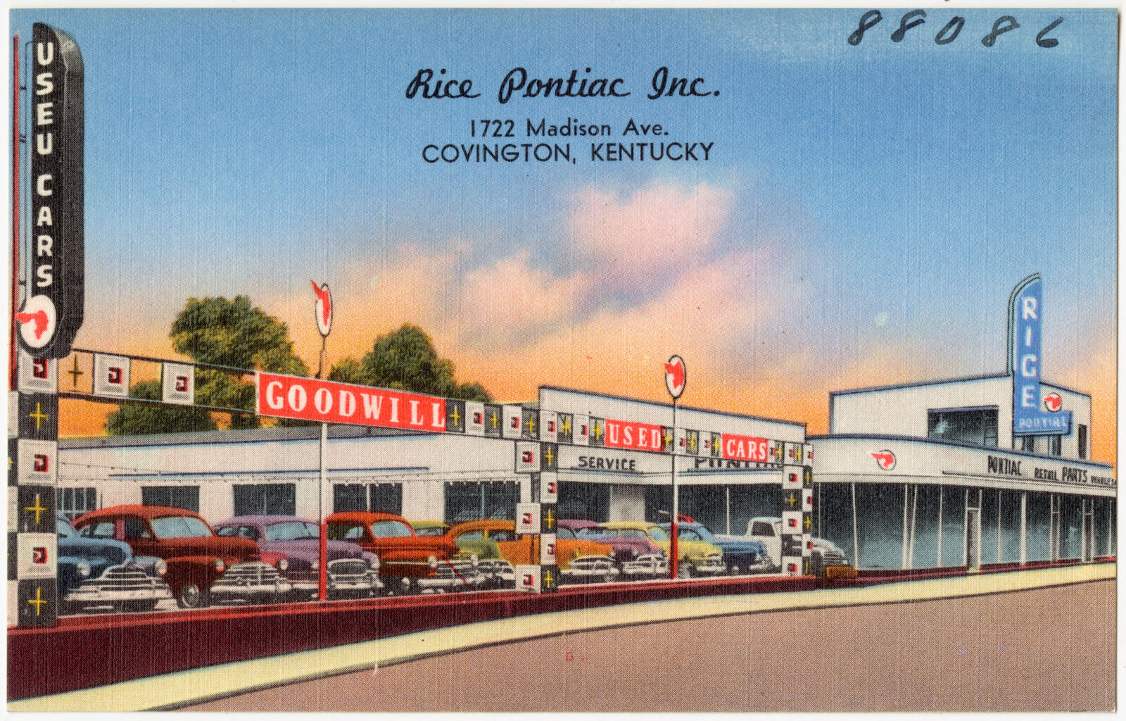
Rice Pontiac Inc., 1722 Madison Ave., Covington, Kentucky, Boston Public Library - undated
Rice Pontiac Inc., 1722 Madison Ave., Covington, Kentucky. Boston Public Library, via the Digital Public Library of America.
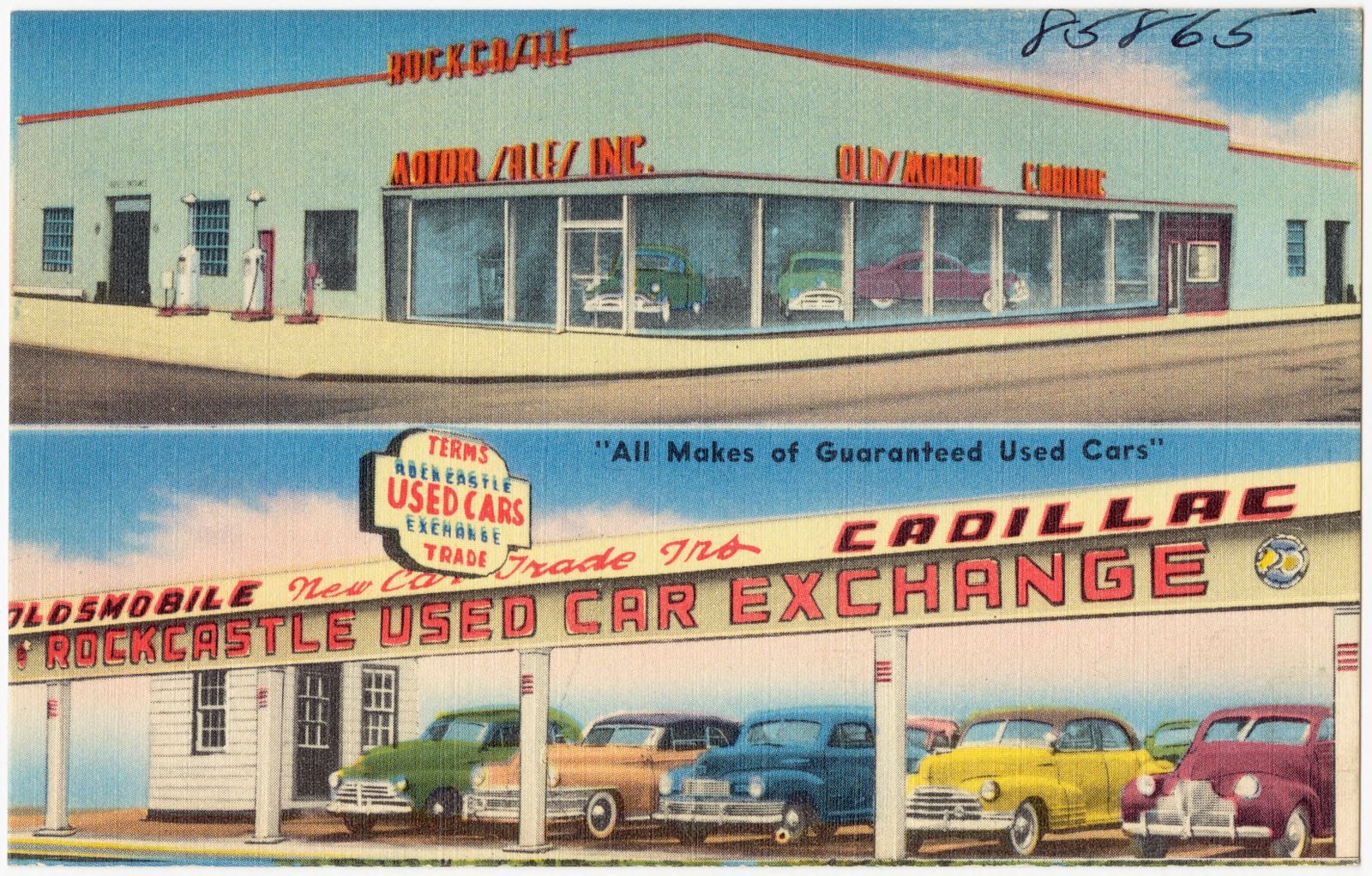
Rockcastle Motor Sales, Inc., 2300 Madison Ave., Covington, KY., Boston Public Library - undated
Rockcastle Motor Sales, Inc., 2300 Madison Ave., Covington, KY.. Boston Public Library, via the Digital Public Library of America.
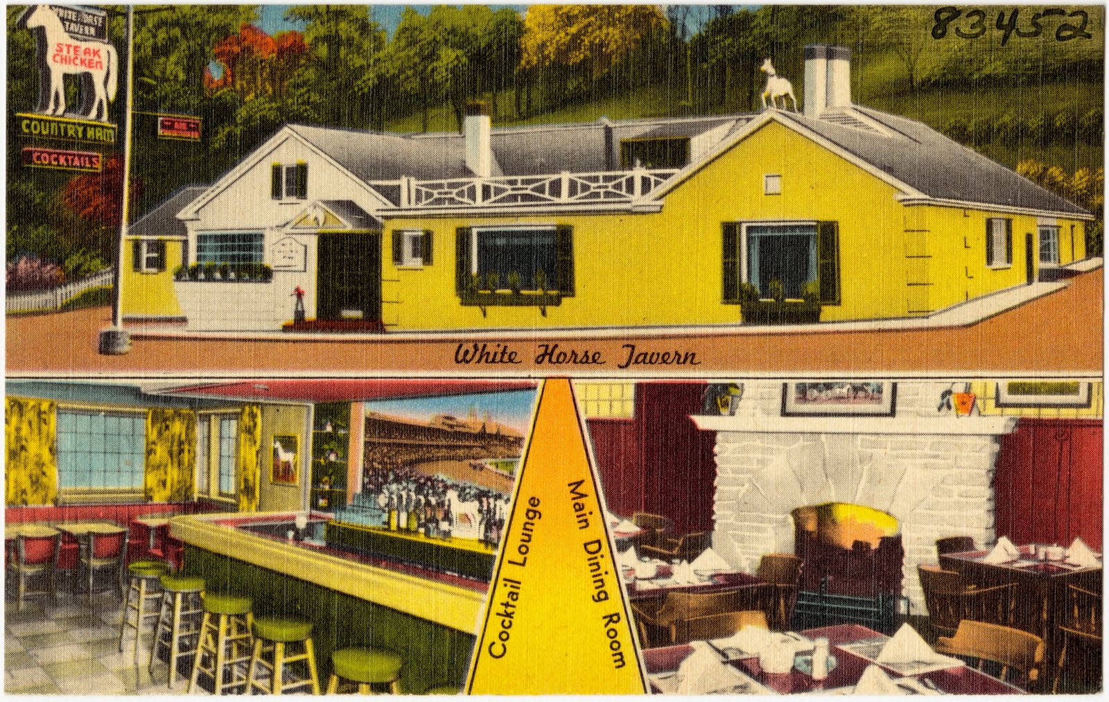
Ben Castleman's White Horse Tavern, Route 25 and 42, Covington, Kentucky, Boston Public Library - undated
Ben Castleman's White Horse Tavern, Route 25 and 42, Covington, Kentucky. Boston Public Library, via the Digital Public Library of America.
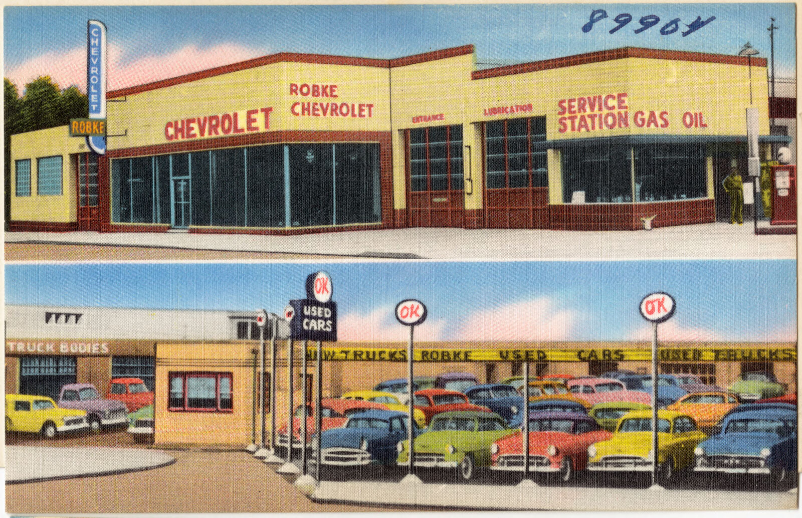
The Robke Chevrolet Co., 14th & Madison Ave., Covington, KY., Boston Public Library - undated
The Robke Chevrolet Co., 14th & Madison Ave., Covington, KY.. Boston Public Library, via the Digital Public Library of America.
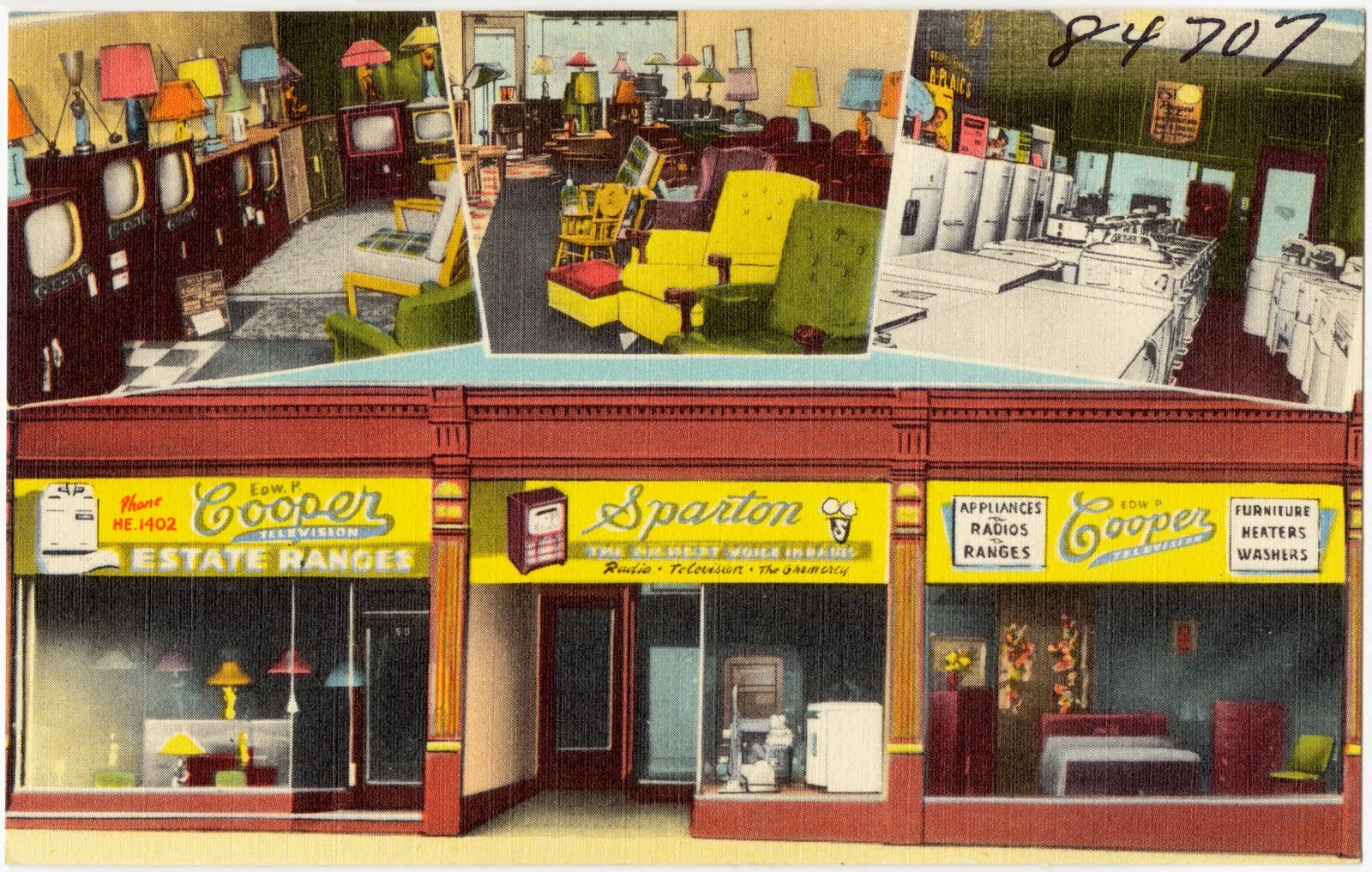
Edw. P. Cooper, Covington's leading appliance, furniture, radio & television store, 501 Madison Ave., Covington, Ky., Boston Public Library - undated
Edw. P. Cooper, Covington's leading appliance, furniture, radio & television store, 501 Madison Ave., Covington, Ky.. Boston Public Library, via the Digital Public Library of America.
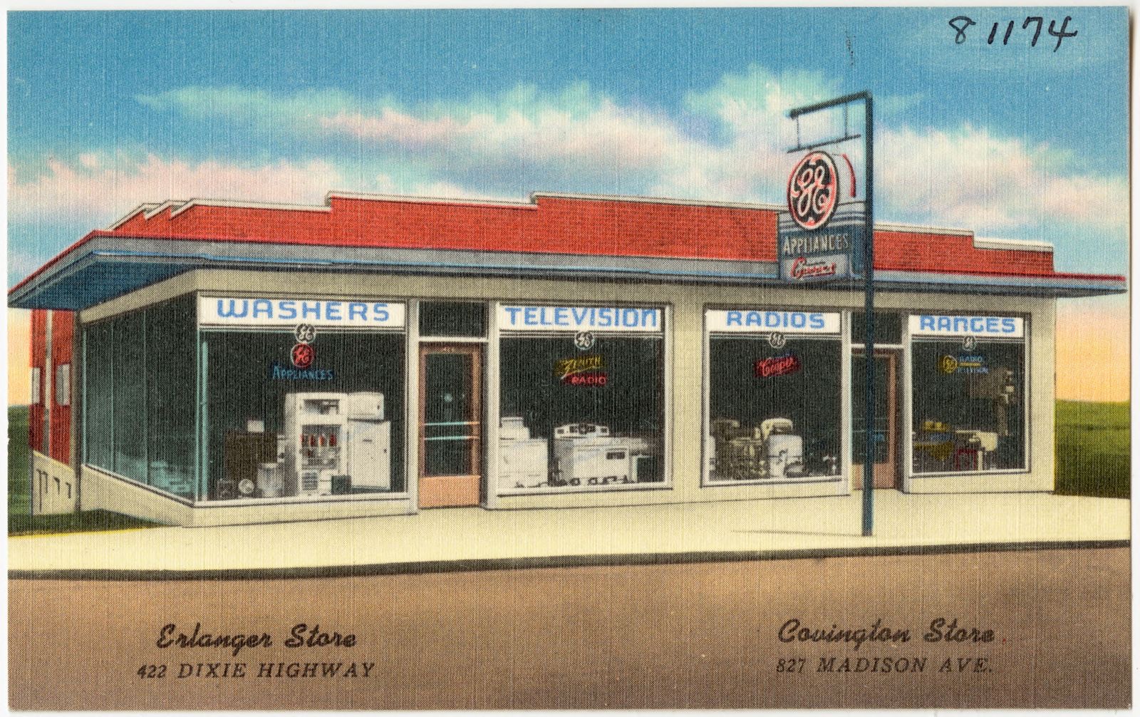
Edw. P. Cooper, Boston Public Library - undated
Edw. P. Cooper. Boston Public Library, via the Digital Public Library of America.
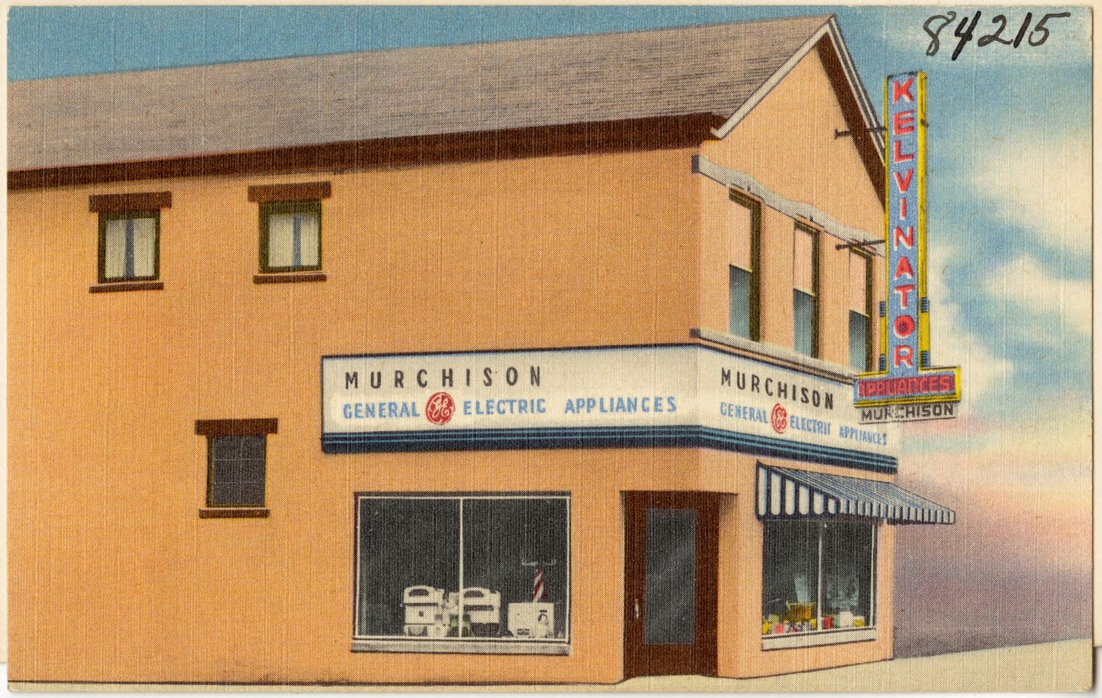
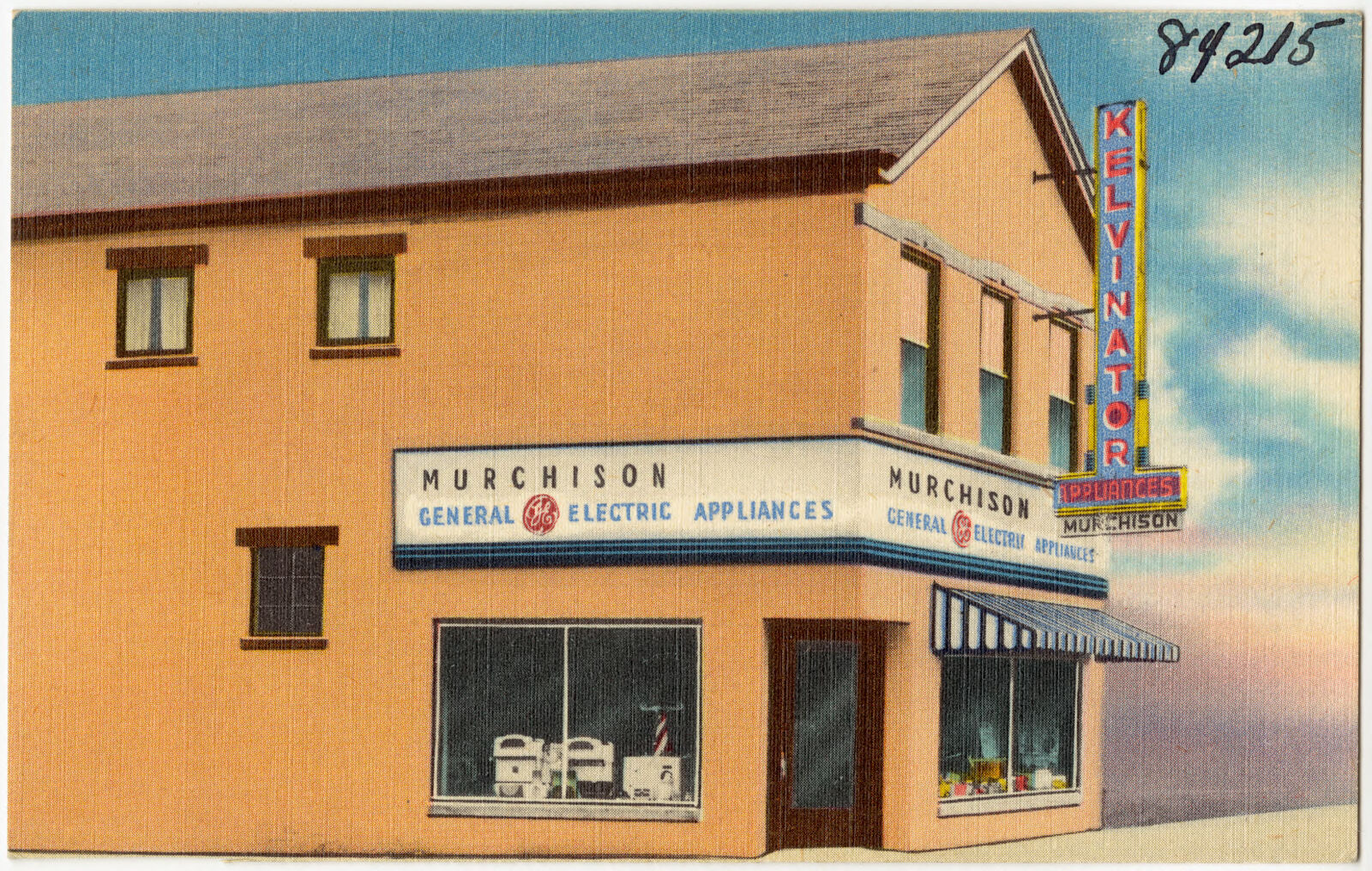
Murchison Appliances, Boston Public Library - undated
Murchison Appliances. Boston Public Library, via the Digital Public Library of America.
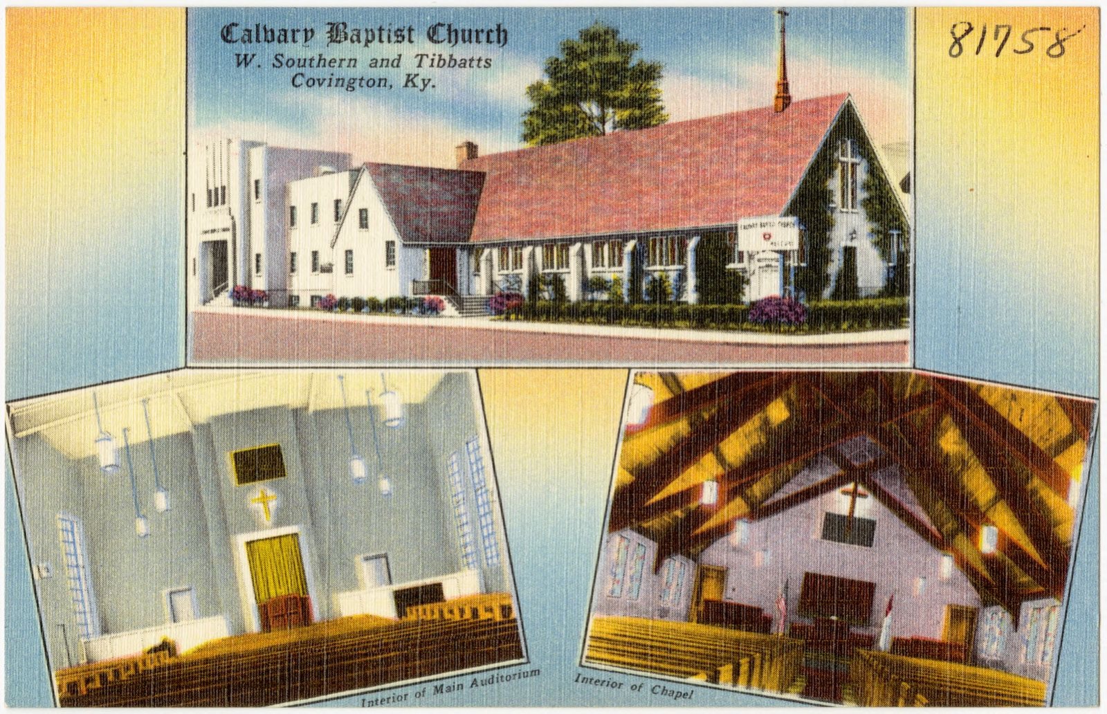
Calvary Baptist Church, W. Southern and Tibbats, Covington, Ky., Boston Public Library - undated
Calvary Baptist Church, W. Southern and Tibbats, Covington, Ky.. Boston Public Library, via the Digital Public Library of America.
Murchison Appliances, Boston Public Library - undated
Murchison Appliances. Boston Public Library, via the Digital Public Library of America.
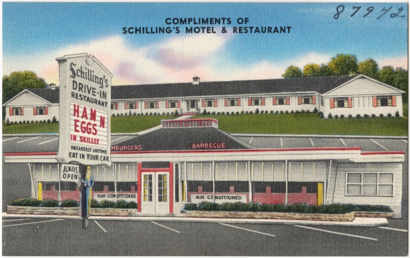
Schilling's Motel & Restaurant, five minutes from Cincinnati on U. S. route 25 & 42, 1939 Dixie Highway, Covington, Ky., Boston Public Library - undated
Schilling's Motel & Restaurant, five minutes from Cincinnati on U. S. route 25 & 42, 1939 Dixie Highway, Covington, Ky.. Boston Public Library, via the Digital Public Library of America.
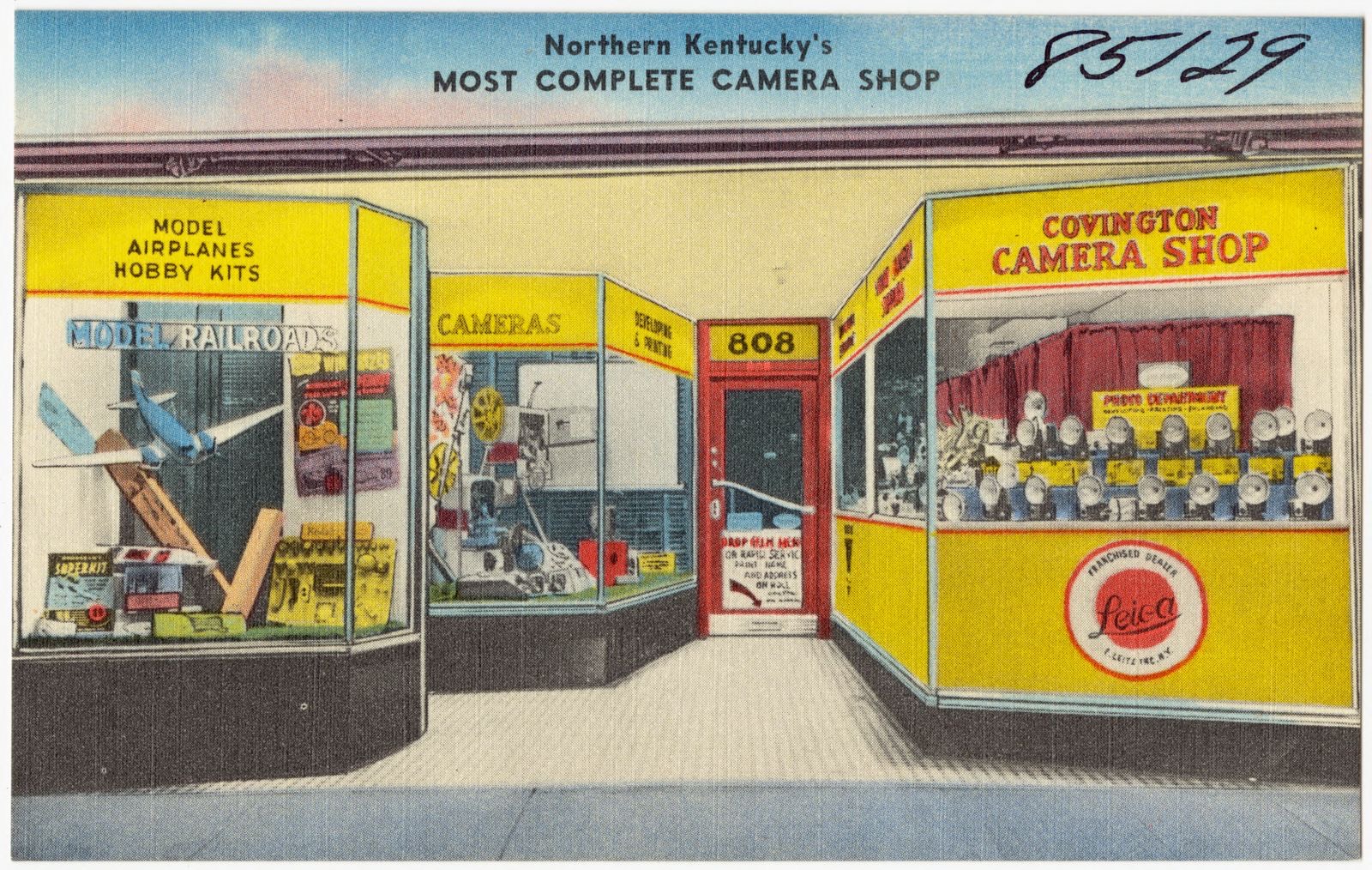
Covington Camera Shop, 808 Madison Ave., Boston Public Library - undated
Covington Camera Shop, 808 Madison Ave.. Boston Public Library, via the Digital Public Library of America.
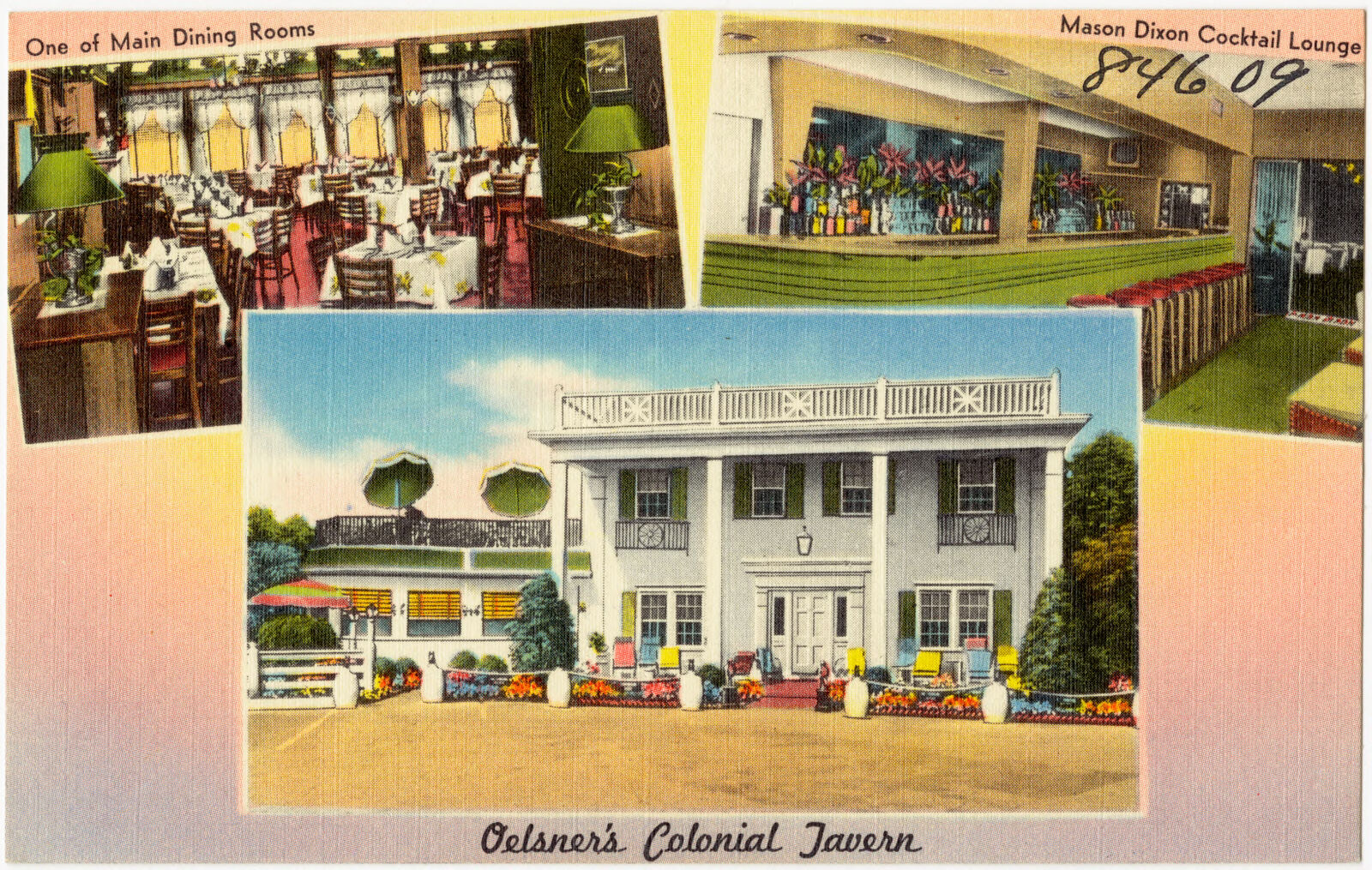
Oelsner's Colonial Tavern, Greater Cincinnati's finest, Route 25 &42 in the Blue Grass State, 2 miles south of Covington, Kentucky, Boston Public Library - undated
Oelsner's Colonial Tavern, Greater Cincinnati's finest, Route 25 &42 in the Blue Grass State, 2 miles south of Covington, Kentucky. Boston Public Library, via the Digital Public Library of America.
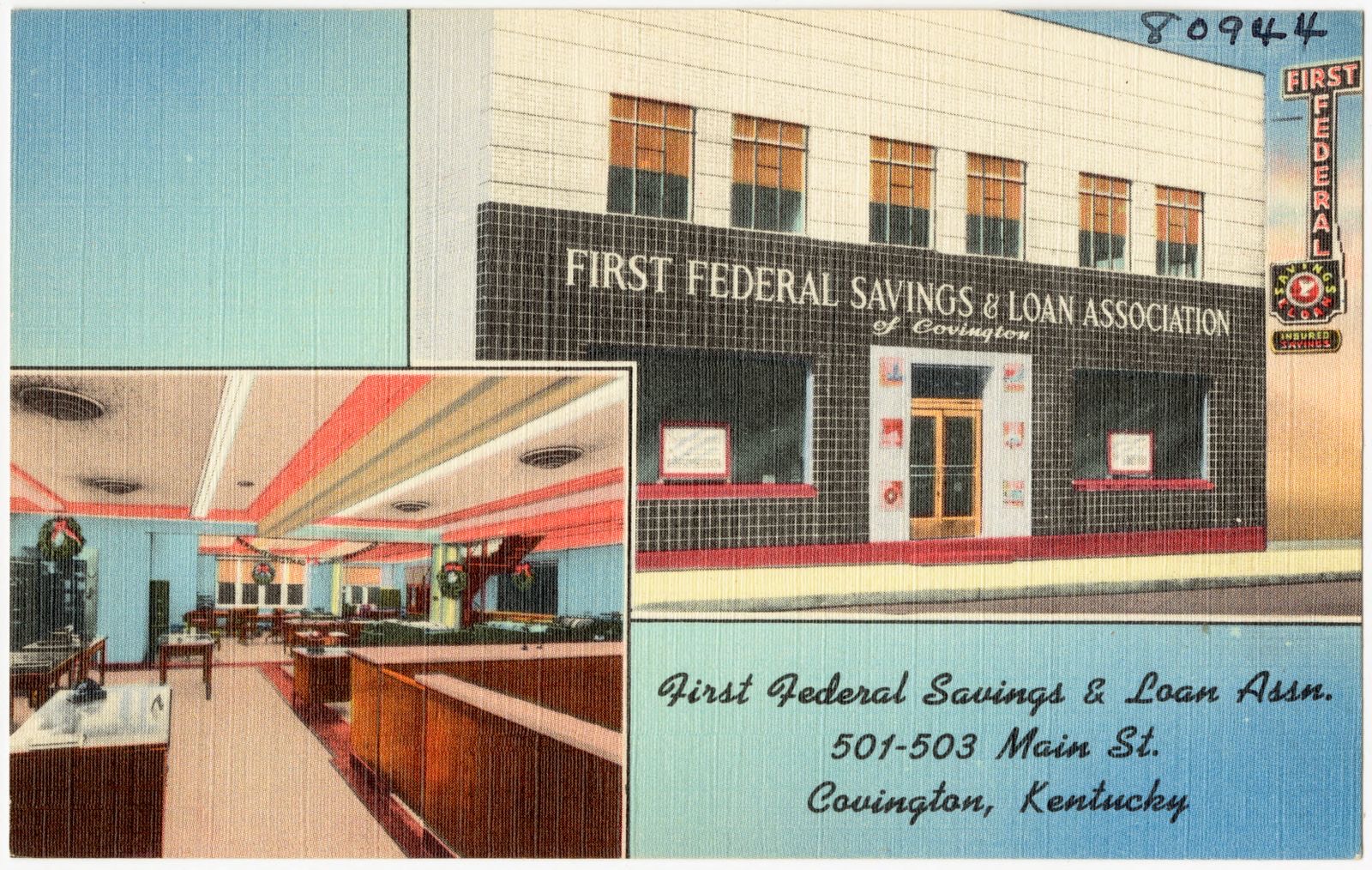
First Federal Savings & Loan Assn., 501-503 Main St., Covington, Kentucky, Boston Public Library - undated
First Federal Savings & Loan Assn., 501-503 Main St., Covington, Kentucky. Boston Public Library, via the Digital Public Library of America.
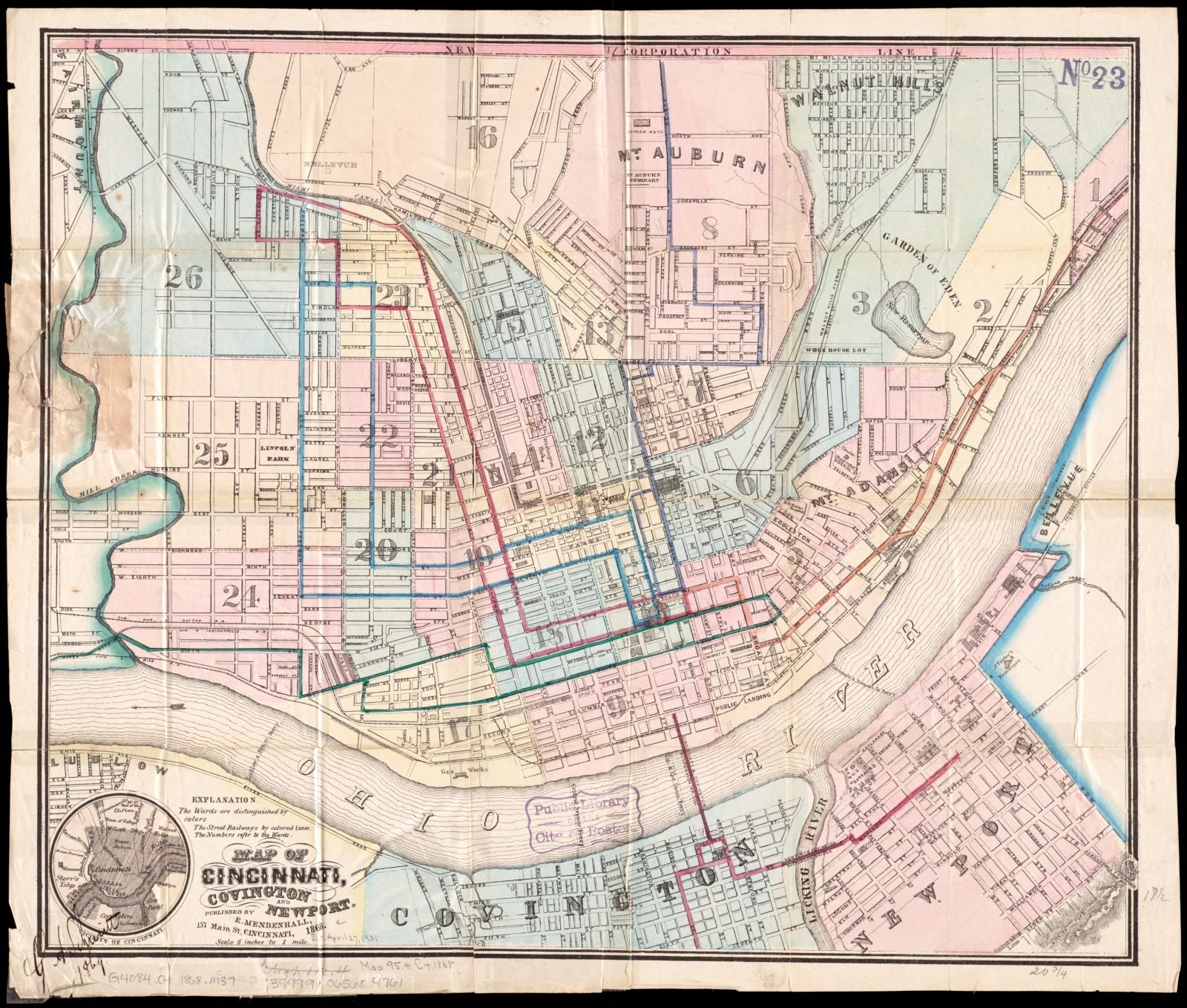
Map of Cincinnati, Covington and Newport, Boston Public Library - undated
Map of Cincinnati, Covington and Newport. Boston Public Library, via the Digital Public Library of America.
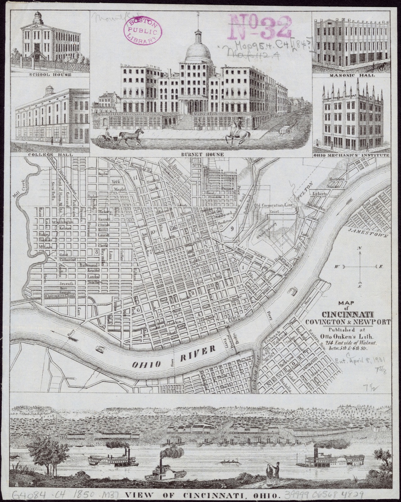
Map of Cincinnati, Covington & Newport, Boston Public Library - undated
Map of Cincinnati, Covington & Newport. Onken, Otto, 1814 or 1815-1897, Boston Public Library, via the Digital Public Library of America.

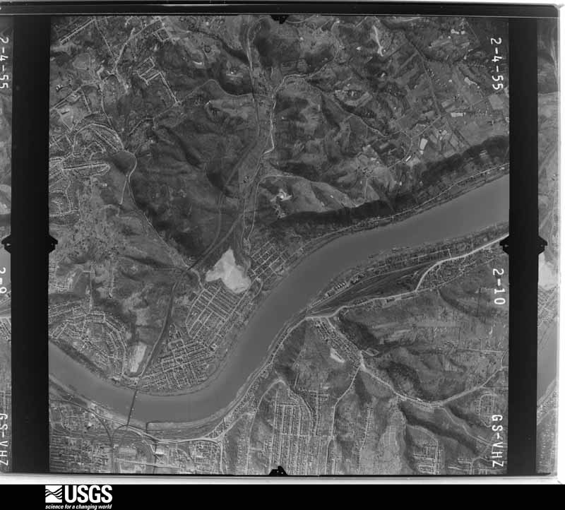
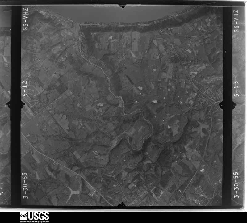
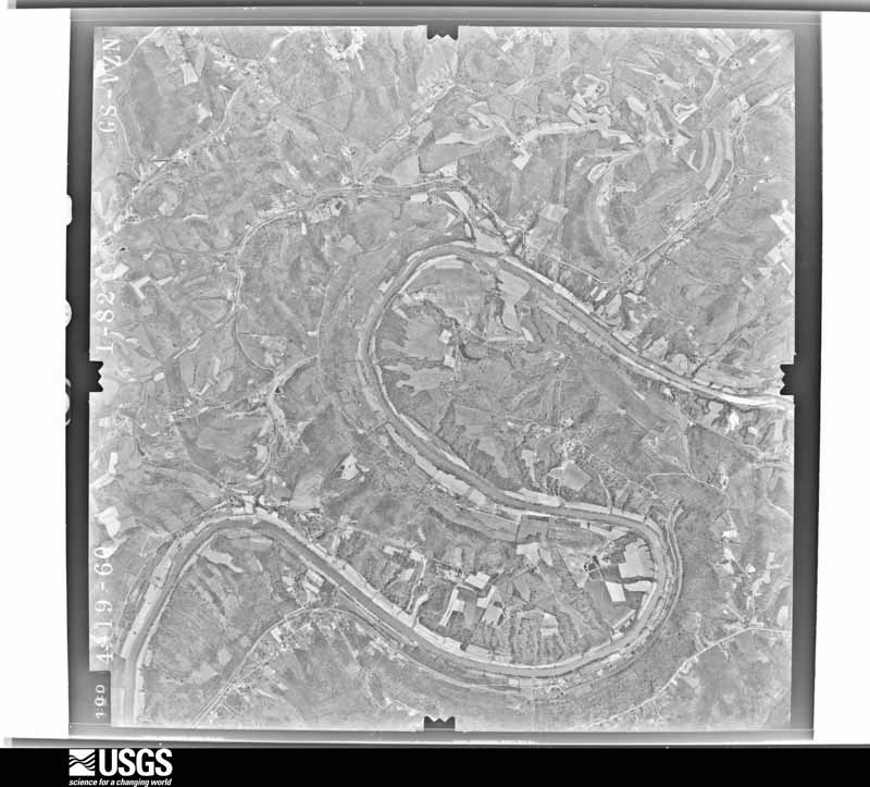
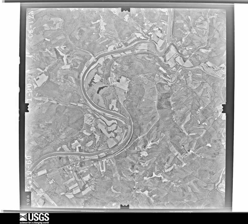
The county from the air

32 shown

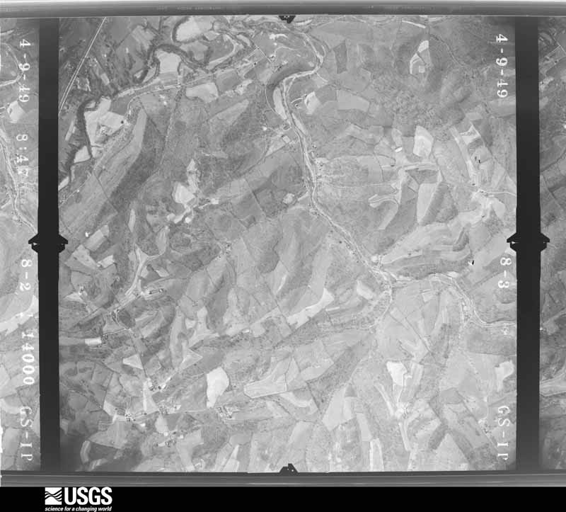
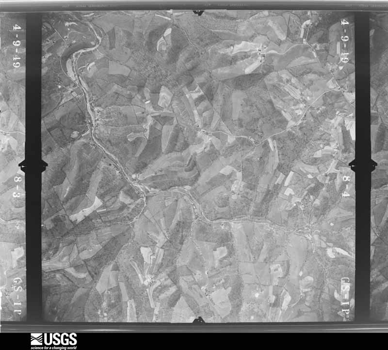
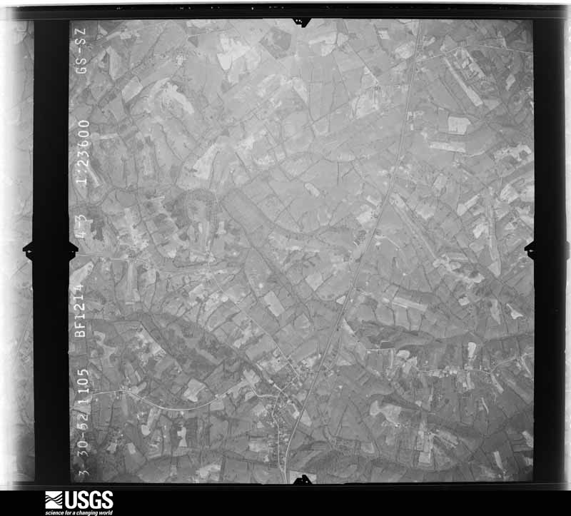
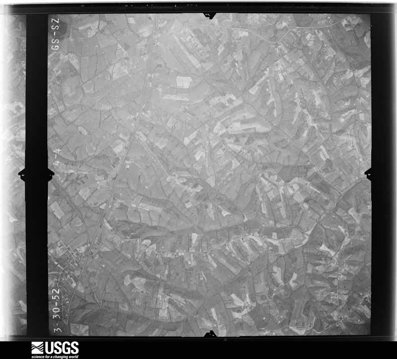
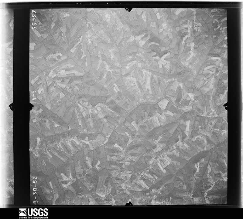
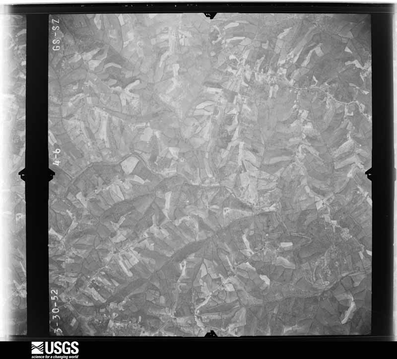
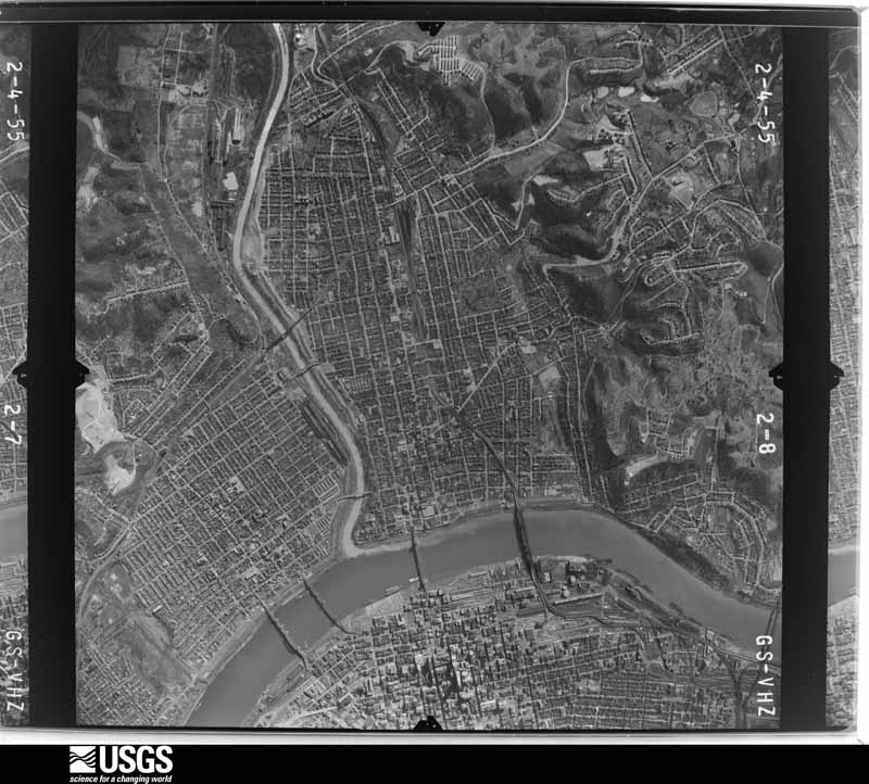
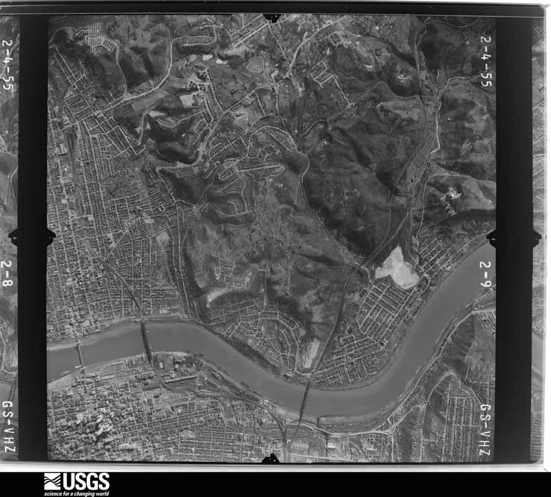
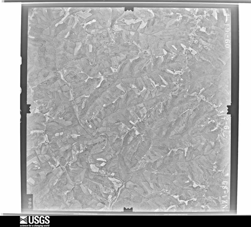
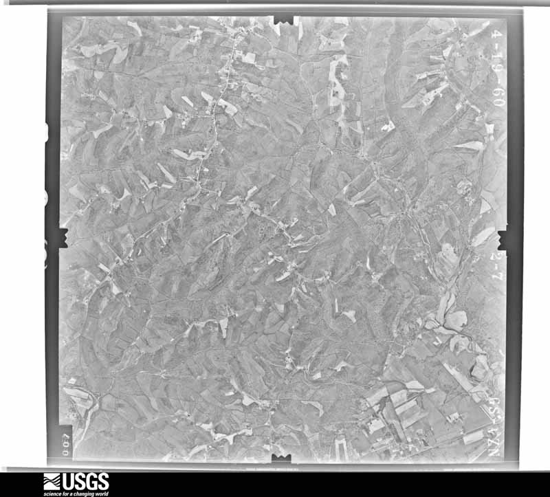
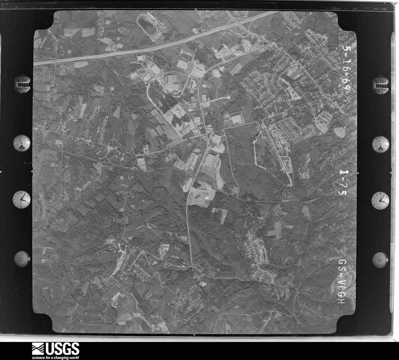
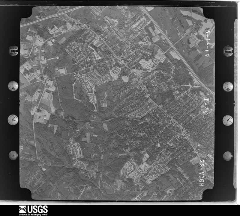
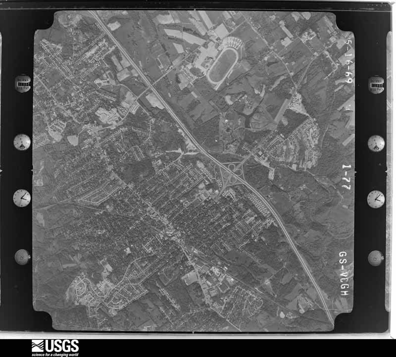
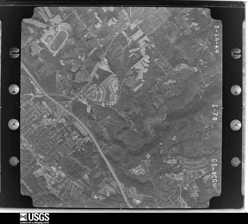
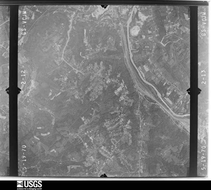
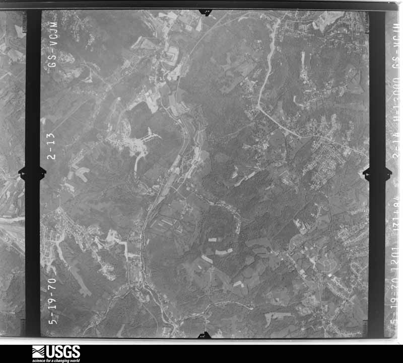
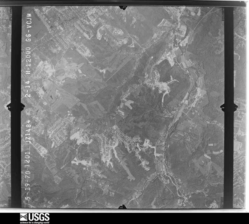
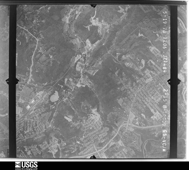
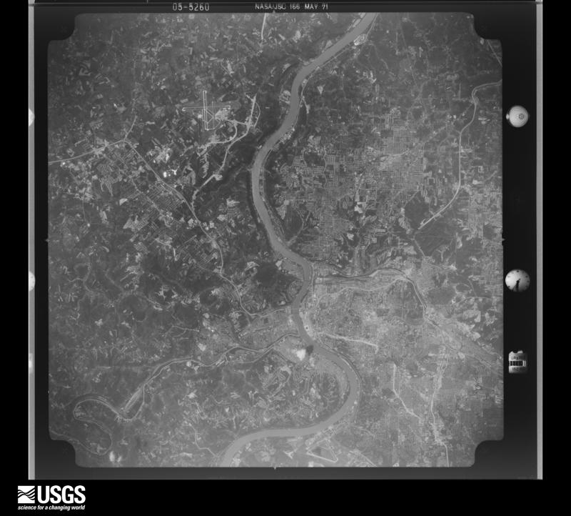
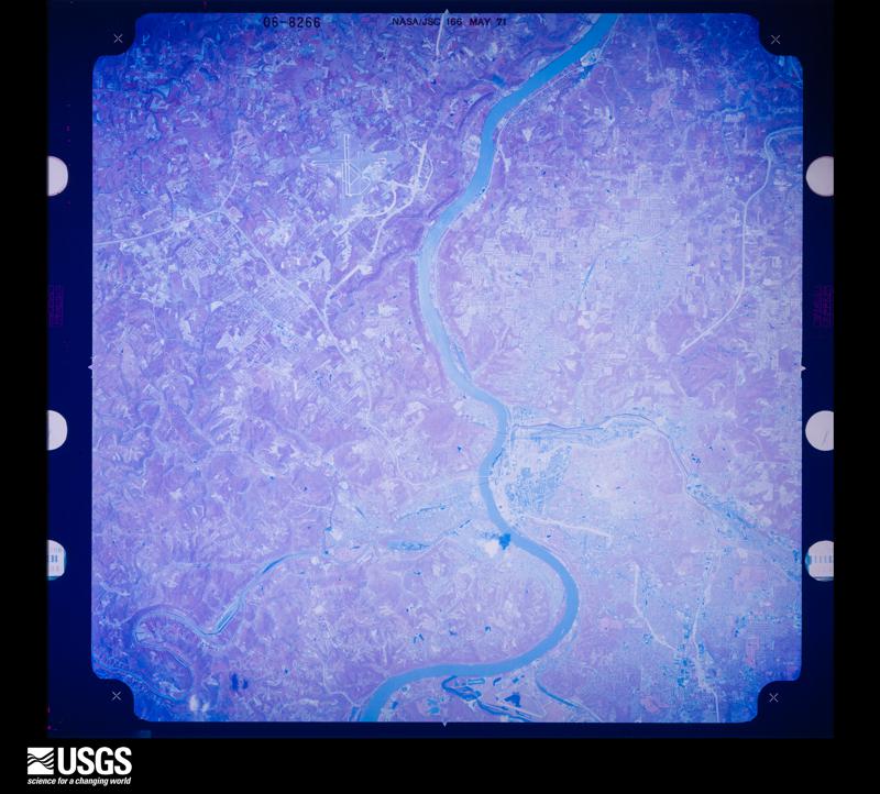
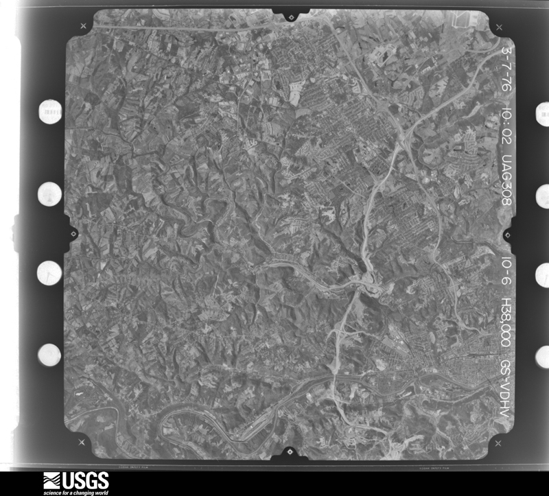
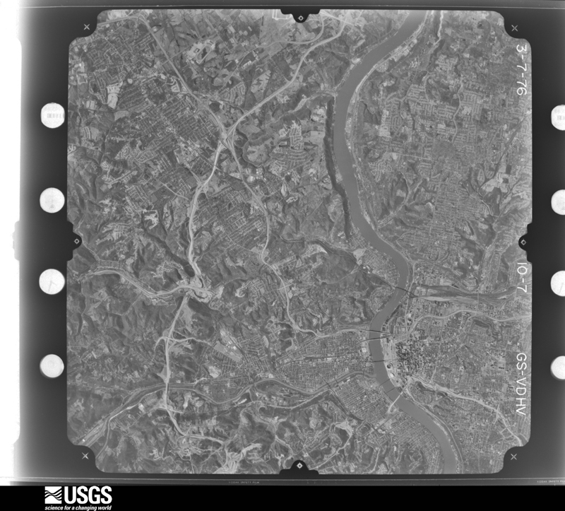
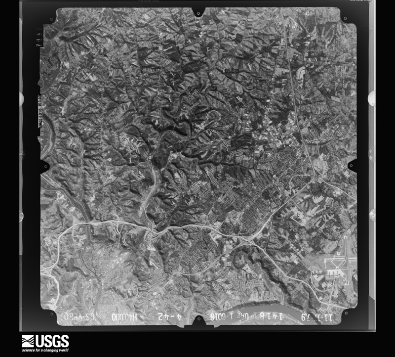
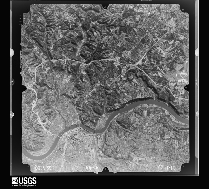
Flown by the U.S. Geological Survey between 1937 and 1989, the Aerial Photo Single Frames collection is the definitive mid-century view of the land: fields, roads and rivers as the camera saw them. The Survey holds 761 frames inside the rectangle that bounds this county; the 32 frames below were taken over the county itself, chosen across the decades of flights (at most four a year from that rectangle), so one flight cannot crowd out the rest. The full set is free to browse and download at EarthExplorer under the dataset Aerial Photo Single Frames.
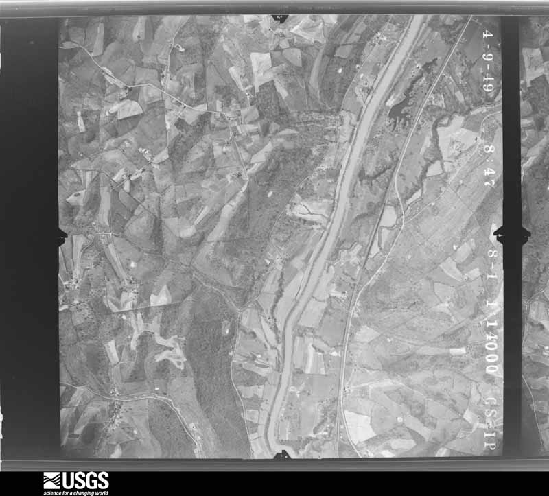
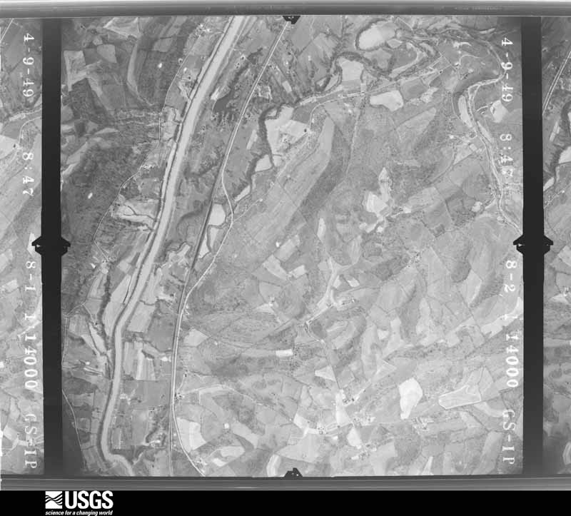
U.S. Geological Survey aerial photograph, 1949-05-03, scale 1:14000
1949-05-03, scale 1:14000. U.S. Geological Survey aerial photograph.
U.S. Geological Survey aerial photograph, 1949-05-03, scale 1:14000
1949-05-03, scale 1:14000. U.S. Geological Survey aerial photograph.
U.S. Geological Survey aerial photograph, 1949-05-03, scale 1:14000
1949-05-03, scale 1:14000. U.S. Geological Survey aerial photograph.
U.S. Geological Survey aerial photograph, 1949-05-03, scale 1:14000
1949-05-03, scale 1:14000. U.S. Geological Survey aerial photograph.
U.S. Geological Survey aerial photograph, 1952-04-01, scale 1:23600
1952-04-01, scale 1:23600. U.S. Geological Survey aerial photograph.
U.S. Geological Survey aerial photograph, 1952-04-01, scale 1:23600
1952-04-01, scale 1:23600. U.S. Geological Survey aerial photograph.
U.S. Geological Survey aerial photograph, 1952-04-01, scale 1:23600
1952-04-01, scale 1:23600. U.S. Geological Survey aerial photograph.
U.S. Geological Survey aerial photograph, 1952-04-01, scale 1:23600
1952-04-01, scale 1:23600. U.S. Geological Survey aerial photograph.
U.S. Geological Survey aerial photograph, 1955-01-01, scale 1:24000
1955-01-01, scale 1:24000. U.S. Geological Survey aerial photograph.
U.S. Geological Survey aerial photograph, 1955-01-01, scale 1:24000
1955-01-01, scale 1:24000. U.S. Geological Survey aerial photograph.
U.S. Geological Survey aerial photograph, 1955-01-01, scale 1:24000
1955-01-01, scale 1:24000. U.S. Geological Survey aerial photograph.
U.S. Geological Survey aerial photograph, 1955-01-01, scale 1:24000
1955-01-01, scale 1:24000. U.S. Geological Survey aerial photograph.
U.S. Geological Survey aerial photograph, 1960-04-19, scale 1:24000
1960-04-19, scale 1:24000. U.S. Geological Survey aerial photograph.
U.S. Geological Survey aerial photograph, 1960-04-19, scale 1:24000
1960-04-19, scale 1:24000. U.S. Geological Survey aerial photograph.
U.S. Geological Survey aerial photograph, 1960-04-19, scale 1:24000
1960-04-19, scale 1:24000. U.S. Geological Survey aerial photograph.
U.S. Geological Survey aerial photograph, 1960-04-19, scale 1:24000
1960-04-19, scale 1:24000. U.S. Geological Survey aerial photograph.
U.S. Geological Survey aerial photograph, 1969-07-02, scale 1:24000
1969-07-02, scale 1:24000. U.S. Geological Survey aerial photograph.
U.S. Geological Survey aerial photograph, 1969-07-02, scale 1:24000
1969-07-02, scale 1:24000. U.S. Geological Survey aerial photograph.
U.S. Geological Survey aerial photograph, 1969-07-02, scale 1:24000
1969-07-02, scale 1:24000. U.S. Geological Survey aerial photograph.
U.S. Geological Survey aerial photograph, 1969-07-02, scale 1:24000
1969-07-02, scale 1:24000. U.S. Geological Survey aerial photograph.
U.S. Geological Survey aerial photograph, 1970-05-19, scale 1:24000
1970-05-19, scale 1:24000. U.S. Geological Survey aerial photograph.
U.S. Geological Survey aerial photograph, 1970-05-19, scale 1:24000
1970-05-19, scale 1:24000. U.S. Geological Survey aerial photograph.
U.S. Geological Survey aerial photograph, 1970-05-19, scale 1:24000
1970-05-19, scale 1:24000. U.S. Geological Survey aerial photograph.
U.S. Geological Survey aerial photograph, 1970-05-19, scale 1:24000
1970-05-19, scale 1:24000. U.S. Geological Survey aerial photograph.
U.S. Geological Survey aerial photograph, 1971-05-16, scale 1:124933
1971-05-16, scale 1:124933. U.S. Geological Survey aerial photograph.
U.S. Geological Survey aerial photograph, 1971-05-16, scale 1:119184
1971-05-16, scale 1:119184. U.S. Geological Survey aerial photograph.
U.S. Geological Survey aerial photograph, 1971-06-17, scale 1:122214
1971-06-17, scale 1:122214. U.S. Geological Survey aerial photograph.
U.S. Geological Survey aerial photograph, 1971-08-29, scale 1:121088
1971-08-29, scale 1:121088. U.S. Geological Survey aerial photograph.
U.S. Geological Survey aerial photograph, 1976-03-07, scale 1:76000
1976-03-07, scale 1:76000. U.S. Geological Survey aerial photograph.
U.S. Geological Survey aerial photograph, 1976-03-07, scale 1:76000
1976-03-07, scale 1:76000. U.S. Geological Survey aerial photograph.
U.S. Geological Survey aerial photograph, 1979-11-17, scale 1:80000
1979-11-17, scale 1:80000. U.S. Geological Survey aerial photograph.
U.S. Geological Survey aerial photograph, 1979-11-17, scale 1:80000
1979-11-17, scale 1:80000. U.S. Geological Survey aerial photograph.

Weather records

18 stations, 6 gages

The thermometers that kept this county's weather, and the gages that measured the flow of its streams, as the federal records hold them. The extremes below are measured values from those records, not estimates.

The 1950 census, district by district

172 districts

Who lived here in 1950, one enumeration district at a time, as the Census Bureau described each district. Each row opens its official National Archives result, with Population Schedules and ED Maps available there.

  • 121-1Covington city, comprising Magisterial Districts 1, 2, and 5 and parts of Magisterial Districts 3 and 6: Covington city - That part of Ward 1 in Magisterial District 1 Bounded by City limits; City limits; E. 4th; Garrard, E. Front, Greenup. This Enumeration District consists of the following blocks: 1, 44, 45, 46, 47, 48
  • 121-2Covington city - That part of Ward 1 in Magisterial District 1 Bounded by City limits; Greenup, E. 2nd, Scott Blvd.; E. 5th; Madison Ave. This Enumeration District consists of the following blocks: 2, 3, 4, 34, 35, 37, 38, 55, 98
  • 121-3Covington city - That part of Ward 1 in Magisterial District 1 Bounded by E. 2nd; Greenup; E. 5th; Scott Blvd. This Enumeration District consists of the following blocks: 36, 39, 51, 52, 53, 54, 99
  • 121-4Covington city - That part of Ward 1 in Magisterial District 1 Bounded by E. Front; Garrard; E. 4th; Greenup. This Enumeration District consists of the following blocks: 40, 41, 42, 43, 49, 50
  • 121-5Covington city - That part of Ward 1 in Magisterial District 1 Bounded by E. 4th; City limits; E. 6th, Sanford, E. 5th; Greenup. This Enumeration District consists of the following blocks: 100, 101, 102
  • 121-6Covington city - That part of Ward 1 in Magisterial District 1 Bounded by E. 5th, Sanford, E. 6th; City limits; E. 7th; Greenup. This Enumeration District consists of the following blocks: 103, 128, 129
  • 121-7Covington city - That part of Ward 1 in Magisterial District 1 Bounded by E. 5th; Greenup; E. 7th; Scott Blvd. This Enumeration District consists of the following blocks: 104, 105, 127
  • 121-8Covington city - That part of Ward 1 in Magisterial District 1 Bounded by E. 5th; Scott Blvd.; E. 7th; Madison Ave. This Enumeration District consists of the following blocks: 106, 107, 125, 126
  • 121-9Covington city - That part of Ward 1 in Magisterial District 1 Bounded by E. 7th; Greenup; E. Saratoga; Madison Ave. This Enumeration District consists of the following blocks: 132, 133, 161, 163
  • 121-10Covington city - That part of Ward 1 in Magisterial District 1, excluding La Sallette Academy in Block 131 Bounded by E. 7th; City limits; E. 10th; Greenup. This Enumeration District consists of the following blocks: 130, 131 - part, 165, 166, 167, 168, 169, 170
  • 121-11Covington city - That part of Ward 1 in Magisterial District 1, comprising La Sallette Academy in Block 131
  • 121-12Covington city - That part of Ward 1 in Magisterial District 1 Bounded by E. Saratoga; Greenup; E. 10th; Madison Ave. This Enumeration District consists of the following blocks: 162, 164, 171, 172
  • 121-13Covington city - That part of Ward 1 in Magisterial District 1 Bounded by E. 10th; Prospect Ave., E. Robbins, Greenup; Lynn, Scott Blvd., E. 11th; Madison Ave. This Enumeration District consists of the following blocks: 205, 206, 208, 209, 210
  • 121-14Covington city - That part of Ward 1 in Magisterial District 1 Bounded by E. 10th; City limits; E. 11th; Scott Blvd., Lynn, Greenup, E. Robbins, Prospect Ave. This Enumeration District consists of the following blocks: 207, 211, 212, 213, 214, 215
  • 121-15Covington city - That part of Ward 6 in Magisterial District 1 Bounded by E. 11th; City limits, E. 12th, Wheeler; Pleasant; Garrard. This Enumeration District consists of the following blocks: 216, 217, 218, 265, 266, 272
  • 121-16Covington city - That part of Ward 6 in Magisterial District 1 Bounded by E. 11th; Garrard; Trevor, Scott Blvd., E. 13th; Madison Ave. This Enumeration District consists of the following blocks: 219, 220, 221, 222, 223, 224, 225, 259, 260, 261, 264
  • 121-17Covington city - That part of Ward 6 in Magisterial District 1 Bounded by E. 13th, Scott Blvd., E. 15th, Madison Ave. This Enumeration District consists of the following blocks: 277, 278, 284
  • 121-18Covington city - That part of Ward 6 in Magisterial District 1 Bounded by Trevor; Garrard, E. 13th, Greenup; Martin; Scott Blvd. This Enumeration District consists of the following blocks: 262, 263, 275, 276
  • 121-19Covington city - That part of Ward 6 in Magisterial District 1 Bounded by E. 13th; Garrard; E. 15th; Scott Blvd., Martin, Greenup. This Enumeration District consists of the following blocks: 273, 274, 305, 308
  • 121-20Covington city - That part of Ward 6 in Magisterial District 1 Bounded by Pleasant, Wheeler, E. 12th; City limits; Byrd; Garrard. This Enumeration District consists of the following blocks: 267, 268, 269, 270, 271
  • 121-21Covington city - That part of Ward 6 in Magisterial District 1 Bounded by Byrd; City limits; E. 16th, Eastern Ave., E. 17th; Maryland Ave., Oliver, Maryland Ave. This Enumeration District consists of the following blocks: 314, 315, 316, 317, 318, 319, 320, 321, 322, 323, 324, 325, 327, 328, 329, 330, 335
  • 121-22Covington city - That part of Ward 6 in Magisterial District 1 Bounded by Byrd; Maryland Ave., Oliver, Maryland Ave.; E. 16th; Garrard. This Enumeration District consists of the following blocks: 309, 310, 311, 312, 313, 325
  • 121-23Covington city - That part of Ward 2 in Magisterial District 2 Bounded by City limits; Madison Ave.; W. 4th; Russell. This Enumeration District consists of the following blocks: 5, 6, 30, 31, 32, 33, 56, 57
  • 121-24Covington city - That part of Ward 2 in Magisterial District 2 Bounded by W. 4th; Madison Ave.; W. 5th; Russell. This Enumeration District consists of the following block: 97
  • 121-25Covington city - That part of Ward 2 in Magisterial District 2 Bounded by W. 4th; Russell; W. 5th; Main. This Enumeration District consists of the following blocks: 94, 95, 96
  • 121-26Covington city - That part of Ward 2 in Magisterial District 2 Bounded by W. 5th; Russell; Athey Ave., W. 6th; Main. This Enumeration District consists of the following blocks: 110, 111, 112, 121
  • 121-27Covington city - That part of Ward 2 in Magisterial District 2, excluding Notre Dame Academy in Block 108 W Bounded by W. 5th; Crawford, W. 6th, Washington; W. Pike; Russell. This Enumeration District consists of the following blocks: 108 W, 109, 122
  • 121-28Covington city - That part of Ward 2 in Magisterial District 2, comprising Notre Dame Academy in Block 108 W
  • 121-29Covington city - That part of Ward 2 in Magisterial District 2 Bounded by W. 6th, Athey Ave.; Russell; W. Pike, Craig, W. 7th; Main. This Enumeration District consists of the following block: 120
  • 121-30Covington city - That part of Ward 2 in Magisterial District 2 Bounded by W. 7th; Craig; W. 8th; Main. This Enumeration District consists of the following blocks: 136, 137, 138
  • 121-31Covington city - That part of Ward 3 in Magisterial District 2 Bounded by City limits; Russell; W. 3rd, Main, W. 4th; Crescent Ave., Perry. This Enumeration District consists of the following blocks: 7, 8, 9, 10, 24, 25, 26, 27, 28, 29, 60, 61, 62, 63
  • 121-32Covington city - That part of Ward 3 in Magisterial District 2 Bounded by W. 3rd; Russell; W. 4th; Main. This Enumeration District consists of the following blocks: 58, 59
  • 121-33Covington city - That part of Ward 3 in Magisterial District 2 Bounded by City limits; Perry; W. 2nd, Swain Ct., Highway, Clark; Altamont Rd., City limits. This Enumeration District consists of the following blocks: 11, 12, 13, 17, 72
  • 121-34Covington city - That part of Ward 3 in Magisterial District 2 Bounded by Altamont Rd.; Altamont Rd.; Ludlow; City limits. This Enumeration District consists of the following blocks: 14, 15, 16, 73, 74, 75, 76, 77
  • 121-35Covington city - That part of Ward 3 in Magisterial District 2 Bounded by Ludlow; Altamont Rd.; Forest, John, Bernard, W. Spring, Cone, Parkway, S. West; City limits. This Enumeration District consists of the following blocks: 78, 79, 80, 81, 82, 83
  • 121-36Covington city - That part of Ward 3 in Magisterial District 2 Bounded by Clark, Highway, Swain Ct.; W. 2nd; Spring, Division, John; Altamont Rd. This Enumeration District consists of the following blocks: 18, 19, 69, 70, 71, 86
  • 121-37Covington city - That part of Ward 3 in Magisterial District 2 Bounded by S. West, Parkway, Cone, W. Spring, Bernard, John, Forest, Altamont Rd., John, Division, Spring; Wright, Lookout, Western Ave.; Ward line, City limits; City limits. This Enumeration District consists of the following blocks: 20, 21, 64 N, 65, 66, 67, 68, 84, 85, 87, 88, 186, 187
  • 121-38Covington city - That part of Ward 3 in Magisterial District 2 Bounded by W. 2nd; Crescent Ave.; W. 8th; Western Ave., Lookout, Wright. This Enumeration District consists of the following blocks: 22, 23, 116, 143
  • 121-39Covington city - That part of Ward 3 in Magisterial District 2 Bounded by W. 4th; Main, Elm, Philadelphia; W. 6th; Crescent Ave. This Enumeration District consists of the following blocks: 89, 90, 93, 115
  • 121-40Covington city - That part of Ward 3 in Magisterial District 2 Bounded by Elm; Main; W. 6th; Philadelphia. This Enumeration District consists of the following blocks: 91, 92, 113, 114
  • 121-41Covington city - That part of Ward 3 in Magisterial District 2 Bounded by W. 6th; Main; W. 7th, Dalton Ave., W. 7th; Crescent Ave. This Enumeration District consists of the following blocks: 117, 118, 119
  • 121-42Covington city - That part of Ward 3 in Magisterial District 2 Bounded by W. 7th, Dalton Ave., W. 7th; Main; W. 8th; Crescent Ave. This Enumeration District consists of the following blocks: 139, 140, 141, 142
  • 121-43Covington city - That part of Ward 2 in Magisterial District 3 Bounded by W. 5th; Madison Ave.; W. 9th; Russell, W. Pike, Washington, W. 6th, Crawford. This Enumeration District consists of the following blocks: 108 E, 123, 124, 134, 135, 157, 158, 159, 160
  • 121-44Covington city - That part of Ward 2 in Magisterial District 3 Bounded by W. 9th; Madison Ave.; W. 12th; Russell. This Enumeration District consists of the following blocks: 173, 174, 175, 199, 200, 201, 202, 203, 204, 226, 227, 228, 229
  • 121-45Covington city - That part of Ward 4 in Magisterial District 3 Bounded by W. Pike; Russell; W. Robbins; Holman. This Enumeration District consists of the following blocks: 154, 155, 156, 176, 177, 198
  • 121-46Covington city - That part of Ward 4 in Magisterial District 3 Bounded by W. 8th; Craig, W. Pike; W. 9th; Main. This Enumeration District consists of the following blocks: 150, 151, 152, 153
  • 121-47Covington city - That part of Ward 4 in Magisterial District 3 Bounded by W. 9th; W. Pike, Lee, Orchard, Holman; W. 12th; Main, W. 11th, W. Pike, Main. This Enumeration District consists of the following blocks: 179, 191, 192, 232, 233, 234
  • 121-48Covington city - That part of Ward 4 in Magisterial District 3 Bounded by W. 9th; Main; W. Pike; Philadelphia. This Enumeration District consists of the following blocks: 180, 181, 182
  • 121-49Covington city - That part of Ward 4 in Magisterial District 3 Bounded by W. 8th; Main; W. 9th; Philadelphia. This Enumeration District consists of the following blocks: 146, 147, 148, 149
  • 121-50Covington city - That part of Ward 4 in Magisterial District 3 Bounded by W. 8th; Philadelphia; W. 11th; Baker, W. 9th, Crescent Ave. This Enumeration District consists of the following blocks: 145, 183
  • 121-51Covington city - That part of Ward 4 in Magisterial District 3 Bounded by High, Ward line, Western Ave., W. 8th; Crescent Ave., W. 9th, Baker; W. 11th, Lewis; Quarry. This Enumeration District consists of the following blocks: 64 S, 144, 184, 185
  • 121-52Covington city - That part of Ward 4 in Magisterial District 3 Bounded by Lewis; Western Ave., W. Pike, W. 12th, Hormes Ave.; City limits; City limits. This Enumeration District consists of the following blocks: 188, 189, 240, 241, 242, 243, 244, 284, 285, 286, 287
  • 121-53Covington city - That part of Ward 4 in Magisterial District 3 Bounded by Lewis, W. 11th; Bullock; W. 12th; W. Pike, Western Ave. This Enumeration District consists of the following blocks: 190, 237, 238, 239
  • 121-54Covington city - That part of Ward 4 in Magisterial District 3 Bounded by W. Pike; Holman; Orchard; Lee. This Enumeration District consists of the following blocks: 178, 193, 194, 195
  • 121-55Covington city - That part of Ward 4 in Magisterial District 3 Bounded by Robbins; Russell; W. 12th; Holman. This Enumeration District consists of the following blocks: 196, 197, 230, 231
  • 121-56Covington city - That part of Ward 5 in Magisterial District 3 Bounded by W. 12th; Madison Ave.; W. 15th; Russell. This Enumeration District consists of the following blocks: 257, 258, 279, 299, 300, 301
  • 121-57Covington city - That part of Ward 5 in Magisterial District 3 Bounded by W. 12th; Russell; W. 13th; Main. This Enumeration District consists of the following blocks: 249, 250, 251, 252, 253, 254, 255, 256
  • 121-58Covington city - That part of Ward 5 in Magisterial District 3 Bounded by W. 13th; Russell; W. 15th; Holman. This Enumeration District consists of the following blocks: 280, 281, 296, 297
  • 121-59Covington city - That part of Ward 5 in Magisterial District 3 Bounded by W. 11th; Main; Watkins; Bullock. This Enumeration District consists of the following blocks: 235, 236, 247
  • 121-60Covington city - That part of Ward 5 in Magisterial District 3 Bounded by W. 12th, Bullock, Watkins; Main, W. 13th, Kavanaugh; Prague, Bullock, Hinde; Hermes Ave. This Enumeration District consists of the following blocks: 245, 246, 248, 283
  • 121-61Covington city - That part of Ward 5 in Magisterial District 3 Bounded by Hinde, Bullock, Prague, Kavanaugh, W. 13th; Holman; Linden, May, W. 16th, City limits; Hermes Ave. This Enumeration District consists of the following blocks: 282, 288, 289, 290, 291 N
  • 121-62Covington city - That part of Ward 5 in Magisterial District 3 Bounded by W. 15th; Madison Ave.; W. 16th; Banklick. This Enumeration District consists of the following blocks: 298, 302
  • 121-63Covington city - That part of Ward 5 in Magisterial District 3 Bounded by Linden, Holman, W. 15th; Banklick; W. 16th; St. Clair. This Enumeration District consists of the following blocks: 293, 294, 295
  • 121-64Covington city - That part of Ward 5 in Magisterial District 5 Bounded by W. 16th; Louisiana and Nashville Railroad; W. 19th; Holman. This Enumeration District consists of the following blocks: 341 W, 342, 343, 356, 357, 380
  • 121-65Covington city - That part of Ward 5 in Magisterial District 5 Bounded by Linden, St. Clair, W. 16th; Holman; W. 17th; Euclid, W. 16th, May. This Enumeration District consists of the following blocks: 292, 344, 345, 346, 352, 353
  • 121-66Covington city - That part of Ward 5 in Magisterial District 5 Bounded by City limits, Magisterial District line, Euclid, W. 17th; Holman; W. 18th; City limits. Thisv Enumeration District consists of the following blocks: 291 S, 347, 348, 349, 350, 351, 354, 355
  • 121-67Covington city - That part of Ward 5 in Magisterial District 5 Bounded by City limits, W. 18th; Holman; W. 19th, Highland Ave., City limits; City limits. This Enumeration District consists of the following blocks: 381, 382, 383, 384, 385, 386
  • 121-68Covington city - That part of Ward 5 in Magisterial District 5 Bounded by Highland Ave.; W. 19th, Heidel, Stonewall Ave., Center; W. 23rd; City limits. This Enumeration District consists of the following blocks: 387, 436
  • 121-69Covington city - That part of Ward 5 in Magisterial District 5 Bounded by W. 19th; Howell; W. 23rd; Center, Stonewall Ave., Heidel. This Enumeration District consists of the following blocks: 426, 427, 428, 429, 430, 431, 437, 438, 439
  • 121-70Covington city - That part of Ward 5 in Magisterial District 5 Bounded by W. 19th; Louisiana Nashville Railroad; W. 21st, Russell, W. 22nd; Howell. This Enumeration District consists of the following blocks: 422 W, 423, 424, 425, 441
  • 121-71Covington city - That part of Ward 5 in Magisterial District 5 Bounded by W. 23rd, Howell, W. 22nd, Russell, W. 21st; Louisiana and Nashville Railroad; Ridge, Ward line, Magisterial District line; City limits. This Enumeration District consists of the following blocks: 440, 442 W, 450, 451, 452, 453 N, 454, 455, 459, 460
  • 121-72Covington city - That part of Ward 6 in Magisterial District 5 Bounded by E. 16th; City limits; E. 20th; Eastern Ave., E. 18th, Oakland Ave. This Enumeration District consists of the following blocks: 331, 332, 333, 366, 367, 368, 369, 370, 371, 372, 373, 397, 398, 399, 400, 401, 402, 403, 404
  • 121-73Covington city - That part of Ward 6 in Magisterial District 5 Bounded by E. 16th, Maryland Ave., E. 17th, Eastern Ave., E. 16th; Oakland Ave.; E. 18th; Garrard. This Enumeration District consists of the following blocks: 334, 336, 361, 362, 363, 364, 365
  • 121-74Covington city - That part of Ward 6 in Magisterial District 5 Bounded by E. 15th; Garrard; E. 16th; Scott Blvd. This Enumeration District consists of the following blocks: 306, 307
  • 121-75Covington city - That part of Ward 6 in Magisterial District 5 Bounded by E. 16th; Garrard; E. 18th Scott Blvd. This Enumeration District consists of the following blocks: 337, 338, 359, 360
  • 121-76Covington city - That part of Ward 6 in Magisterial District 5 Bounded by W. 16th, Madison Ave., E. 15th; Scott Blvd.; E. 18th, Madison Ave., W. 19th; Louisiana and Nashville Railroad. This Enumeration District consists of the following blocks: 303, 339, 340, 341 E, 358
  • 121-77Covington city - That part of Ward 6 in Magisterial District 5 Bounded by E. 18th; Greenup; E. 19th; Madison Ave. This Enumeration District consists of the following blocks: 377, 378, 379
  • 121-78Covington city - That part of Ward 6 in Magisterial District 5 Bounded by W. 19th, Madison Ave., E. 19th; Greenup; E. 20th, W. 20th; Louisiana and Nashville Railroad. This Enumeration District consists of the following blocks: 388, 389, 390, 391, 392
  • 121-79Covington city - That part of Ward 6 in Magisterial District 5 Bounded by E. 20th; Greenup; Wallace Ave.; Madison Ave. This Enumeration District consists of the following blocks: 419, 420
  • 121-80Covington city - That part of Ward 6 in Magisterial District 5 Bounded by E. 19th, Garrard, E. 21st; Eastern Ave.; Wallace Ave.; Greenup. This Enumeration District consists of the following block: 393, 415, 416, 418
  • 121-81Covington city - That part of Ward 6 in Magisterial District 5 Bounded by E. 18th; Eastern Ave.; E. 20th, Garrard, E. 19th; Greenup. This Enumeration District consists of the following blocks: 374, 375, 376, 394, 395, 396
  • 121-82Covington city - That part of Ward 6 in Magisterial District 5, excluding St. Elizabeth's Hospital and School of Nursing in Block 413 Bounded by E. 20th; Eastern Ave.; E. 21st; Garrard. This Enumeration District consists of the following blocks: 413 - part, 414, 417
  • 121-83Covington city - That part of Ward 6 in Magisterial District 5, comprising St. Elizabeth's Hospital and School of Nursing in Block 413
  • 121-84Covington city - That part of Ward 6 in Magisterial District 5 Bounded by E. 20th; City limits; Durrett, Glenway Ave., Wallace Ave.; Eastern Ave. This Enumeration District consists of the following blocks: 405, 406, 407, 408, 409, 410, 411, 412, 443, 444
  • 121-85Covington city - That part of Ward 6 in Magisterial District 5 Bounded by Ward line, Ridge, Louisiana and Nashville Railroad, W. 26th, Madison Ave., Levassor Ave., Eastern Ave., Wallace Ave., Glenway Ave., Durrett; City limits; Magisterial District line, Eastern Ave., James Ave., Madison Ave.; Magisterial District line. This Enumeration District consists of the following blocks: 445 N, 453 SE, 462, 463, 464, 465, 466
  • 121-86Covington city - That part of Ward 6 in Magisterial District 5 Bounded by E. 24th, Greenup, E. Sterrett Ave., Wallace Ave.; Eastern Ave.; Levassor Ave.; Madison Ave. This Enumeration District consists of the following blocks: 446, 458, 461
  • 121-87Covington city - That part of Ward 6 in Magisterial District 5 Bounded by E. 20th, Madison Ave., Wallace Ave.; E. Sterrett Ave., Greenup; E. 24th, Madison Ave., W. 26th; Louisiana and Nashville Railroad. This Enumeration District consists of the following blocks: 421, 422 E, 442 E, 447, 448, 449, 456, 457
  • 121-88Covington city - That part of Ward 5 in Magisterial District 6 Bounded by W. 27th; Rogers; W. 31st, Graff, W. 34th, Southern Ave.; Clifford Ave., Indiana Ave., W. 28th, Iowa. This Enumeration District consists of the following blocks: 472, 480, 481
  • 121-89Covington city - That part of Ward 5 in Magisterial District 6 Bounded by W. 27th; Iowa, W. 28th, Indiana Ave., Clifford Ave.; Southern Ave.; Ashland Ave. This Enumeration District consists of the following blocks: 473, 474, 475
  • 121-90ACovington city - That part of Ward 5 in Magisterial District 6 Bounded by City limits, Magisterial District line; Magisterial District line; W. 27th; Melton Ave., Melton Ave. extended
  • 121-90BCovington city - That part of Ward 5 in Magisterial District 6 Bounded by City limits; Melton Ave. extended, Melton Ave., W. 27th, Ashland Ave.; Southern Ave.; Aberdeen Ave., Alexandria, W. 27th, City limits
  • 121-91Covington city - That part of Ward 5 in Magisterial District 6 Bounded by W. 27th; Alexandria, Aberdeen Ave., Southern Ave.; W. 32nd; Latonia Ave., City limits. This Enumeration District consists of the following blocks: 477, 478, 479, 503, 504
  • 121-92Covington city - That part of Ward 5 in Magisterial District 6 Bounded by City limits; Latonia Ave., W. 32nd, Watson Ave., W. 33rd, Latonia Ave.; City limits; City limits. This Enumeration District consists of the following blocks: 505, 506, 507, 514, 515, 516, 517, 518, 519, 520
  • 121-93Covington city - That part of Ward 5 in Magisterial District 6 Bounded by W. 32nd, Southern Ave., W. 35th; Caroline Ave., W. 36th, Hodge; W. 38th, City limits; Latonia Ave., W. 33rd, Watson Ave. This Enumeration District consists of the following blocks: 508, 509, 510, 511, 512, 513, 521
  • 121-94Covington city - That part of Ward 5 in Magisterial District 6 Bounded by W. 31st; Rogers; W. 35th, Southern Ave.; W. 34th, Graff. This Enumeration District consists of the following blocks: 482, 483, 501, 502, 522, 523, 524, 525, 526
  • 121-95Covington city - That part of Ward 5 in Magisterial District 6 Bounded by W. 36th, Caroline Ave., W. 35th Decoursey Ave., W. 38th, Locke, W. 39th, Winston Ave.; City limits; City limits, W. 38th, Hodge. This Enumeration District consists of the following blocks: 527, 528, 531, 549, 550, 551, 552
  • 121-96Covington city - That part of Ward 5 in Magisterial District 6 Bounded by Southern Ave.; Lincoln Ave.; E. 40th; Winston Ave., E. 39th, Locke, W. 38th, Winston Ave. This Enumeration District consists of the following blocks: 546, 547, 548, 553, 554, 555, 567, 568, 569
  • 121-97Covington city - That part of Ward 5 in Magisterial District 6 Bounded by Southern Ave.; Glenn Ave.; E. 40th, Huntington Ave., E. 39th; Lincoln Ave. This Enumeration District consists of the following blocks: 543, 544, 545, 556, 557
  • 121-98Covington city - That part of Ward 5 in Magisterial District 6 Bounded by Southern Ave., Ward line; City limits; Property line of Twin Oaks Golf and Country Club; Property line of Twin Oaks Golf and Country Club, E. 44th, Glenn Ave. This Enumeration District consists of the following blocks: 497 S, 558, 559, 560 S, 561, 580, 581, 582, 589
  • 121-99Covington city - That part of Ward 5 in Magisterial District 6 Bounded by E. 39th; Huntington Ave. E. 42nd., McKee Ave., E. 43rd; Decoursey Ave., E. 40th, Lincoln Ave. This Enumeration District consists of the following blocks: 563, 564, 565, 566, 572, 573, 578
  • 121-100Covington city - That part of Ward 5 in Magisterial District 6 Bounded by E. 40th; Decoursey Ave.; E. 43rd; Church. This Enumeration District consists of the following blocks: 571, 574, 577
  • 121-101Covington city - That part of Ward 5 in Magisterial District 6 Bounded by E. 40th; Church; City limits; Winston Ave. This Enumeration District consists of the following blocks: 570, 575, 576, 587
  • 121-102Covington city - That part of Ward 5 in Magisterial District 6 Bounded by E. 43rd., McKee Ave., E. 42nd, Huntington Ave., E. 40th; Glenn Ave., E. 44th, Vermont Ave., Baltimore Ave., Glenn Ave.; E. 46th, Eureka, E. 47th; Decoursey Ave. This Enumeration District consists of the following blocks: 562, 579, 583, 584, 585, 588, 590, 591, 600, 603, 604
  • 121-103Covington city - That part of Ward 5 in Magisterial District 6 Bounded by E. 43rd; Decoursey Ave.; City limits; City limits, Church. This Enumeration District consists of the following blocks: 586, 601, 602
  • 121-104Covington city - That part of Ward 5 in Magisterial District 6 Bounded by E. 44th, Property line of Twin Oaks Golf and Country Club; City limits; City limits; Decoursey Ave., E. 47th, Eureka, E. 46th, Glenn Ave., Baltimore Ave., Vermont Ave. This Enumeration District consists of the following blocks: 592, 593, 594, 595, 596, 597, 598, 599
  • 121-105Covington city - That part of Ward 6 in Magisterial District 6 Bounded by Madison Ave., James Ave., Eastern Ave., Magisterial District line; City limits; W. 32nd, Winchester, W. 31st; Decoursey Ave. ThisEnumeration District consists of the following blocks: 445 S, 467, 468, 488, 489, 490, 491
  • 121-106Covington city - That part of Ward 6 in Magisterial District 6 Bounded by Madison Ave.; Decoursey Ave.; W. 31st; Rogers. This Enumeration District consists of the following blocks: 469, 470, 471, 485, 486, 487
  • 121-107Covington city - That part of Ward 6 in Magisterial District 6, excluding Holy Cross School in Block 529. Bounded by W. 31st, Decoursey Ave., Daniel; Lincoln Ave.; Southern Ave.; Decoursey Ave., W. 35th, Rogers. This Enumeration District consists of the following blocks: 484, 500, 529 - part, 530, 532, 533, 534, 535, 536, 537
  • 121-108Covington city - That part of Ward 6 in Magisterial District 6, comprising Holy Cross School in Block 529
  • 121-109Covington city - That part of Ward 6 in Magisterial District 6 Bounded by W. 31st, Winchester, W. 32nd; City limits; E. 33rd, Church, Daniel; Decoursey Ave. This Enumeration District consists of the following blocks: 492, 493, 494, 495, 496, 499
  • 121-110Covington city - That part of Ward 6 in Magisterial District 6 Bounded by E. 33rd; City limits; Ward line, Southern Ave.; Lincoln Ave., Daniel, Church. This Enumeration District consists of the following blocks: 497 N, 498, 538, 539, 540, 541, 542, 560 N
  • 59-1Fort Mitchell town, comprising parts of Magisterial Districts 3 and 7: Fort Mitchell town - That part in Magisterial District 3
  • 59-2Fort Mitchell town - That part in Magisterial District 7
  • 59-3Lookout Heights town, comprising parts of Magisterial Districts 3 and 7: Lookout Heights town - That part in Magisterial District 3
  • 59-4Lookout Heights town - That part in Magisterial District 7
  • 59-5South Hills town, comprising parts of Magisterial Districts 3 and 6: South Hills town - That part in Magisterial District 3
  • 59-6South Hills town - That part in Magisterial District 6
  • 59-7Magisterial District 3, outside Covington city, Fort Mitchell, Lookout Heights and South Hills towns Park Hills town: Park Hills town - That part Bounded by Town limits; Town limits; Amsterdam Rd., Cincinnati Newport Covington Railway, Amsterdam Rd.; Town limits
  • 59-8Park Hills town - That part Bounded by Amsterdam Rd., Cincinnati Newport Covington Railway, Amsterdam Rd.; Town limits; Town limits, Dixie Hwy.; Town limits
  • 59-9Park Hills town - That part Bounded by Dixie Hwy.; Town limits; Town limits; Town limits
  • 59-10Magisterial District 3- That part situated entirely within the corporate limits of Covington city which is located south of Forest St. and north of Devon Park
  • 59-11Magisterial District 3 - That part situated between the corporate limits of Covington and Ludlow cities
  • 59-12Magisterial District 3 - That part outside Covington city and Fort Mitchell, Lookout Heights and Park Hills towns Bounded by Covington city limits; Park Hills town limits, Lookout Heights town limits; Fort Mitchell town limits, St. Johns Rd.; Magisterial District line (Southern Rwy.)
  • 59-13Magisterial District 3 - That part outside Fort Wright, Lookout Heights, Park Hills and South Hills town Bounded by Lookout Heights town limits, Park Hills town limits; Magisterial District line; South Hills town limits; Fort Wright town limits
  • 59-14Magisterial District 3 - That part situated between Covington city and Park Hills town (Remainder of Magisterial District 3 is in Covington city, Fort Mitchell, Lookout Heights and South Hills towns)
  • 59-15Magisterial District 4: Bromley town: Bromley town - That part Bounded by Town limits; Pleasant, Boone; Rohman; Town limits
  • 59-16Bromley town - That part Bounded by Rohmen, Boone, Pleasant; Town limits; Town limits; Town limits
  • 59-17Ludlow city: Ludlow city - That part of Ward 1 Bounded by City limits; City limits; Hazen, Uphill; Ludlow Hwy., Elm, Southern Rwy.
  • 59-18Ludlow city - That part of Ward 1 Bounded by City limits; Southern Rwy., Elm, Ludlow Hwy., Uphill, Hazen, City limits; City limits; Ward line, Carneal, Ward line
  • 59-19Ludlow city - That part of Ward 2 Bounded by Ohio Ave.; Carneal; Elm; Kenner
  • 59-20Ludlow city - That part of Ward 2 Bounded by City limits; Ward line, Carneal; Ohio Ave., Kenner, Elm, Adela Ave., Oak; Helen, Ward line
  • 59-21Ludlow city - That part of Ward 3 Bounded by City limits; Ward line, Helen, Ward line; City limits, Ludford, Oak; City limits
  • 59-22Ludlow city - That part of Ward 3 Bounded by Oak; Ludford, City limits; City limits; City limits
  • 59-23Ludlow city - That part of Ward 4 Bounded by Oak, Adela Ave., Elm; Carneal, Ward line; Linden, Adela Ave., Linden; Helen
  • 59-24Ludlow city - That part of Ward 4 Bounded by Linden, Adela Ave., Linden; Ward line; City limits; Ward line, Helen
  • 59-25Magisterial District 4 - That part outside Bromley town and Ludlow city, excluding St. Walberg Convent (Villa Madonna) Bounded by County line; Bromley town limits, Ludlow city limits, Magisterial District line (Southern Rwy.); Amsterdam Rd., River Rd., (State Hwy. 20); County line
  • 59-26St. Walberg Convent and Villa Madonna Academy (In Magisterial District 4)
  • 59-27Magisterial District 4 - That part outside rea A Bounded by River Rd., Amsterdam Rd.; Magisterial District line; Magisterial District line; Magisterial District line, County line (See Enumeration District map for boundaries of rea A)
  • 59-28Magisterial District 4 - That part comprising rea A Bounded by Power line, Unnamed Stream; Harris, Queen; Crescent Springs Rd., Buttermilk Pike, High, Ash, Southern Rwy. Dry Creek, Eubanks Rd.; Enid Ave. extended, Enid Ave., Buttermilk Pike
  • 59-29Magisterial District 6, Outside Covington city and South Hills town: Kenton Vale town
  • 59-30Winston Park City
  • 59-31Magisterial District 6 - That part Bounded by Magisterial District line; Covington city limits; South Hills town limits
  • 59-32Magisterial District 6 - That part Bounded by Covington city limits; Winston Park city limits; Fence Line of Standard Oil Company of Ohio, Banklick Creek; Fence Line of Standard Oil Company of Ohio
  • 59-33Magisterial District 6 - That part Bounded by Banklick Creek, Fence Line of Standard Oil Company of Ohio, Winston Park city limits, Covington city limits; Mason Rd., Taylor Mill Rd., Old Taylor Mill Rd.; Holds Branch Rd.; Louisiana and Nashville Railroad
  • 59-34Magisterial District 6 - That part Bounded by South Hills town limits, Magisterial District line, Covington city limits; Kenton Vale town limits, Covington city limits, Fence Line of Standard Oil Company of Ohio, Banklick Creek, Louisiana and Nashville Railroad; Holds Branch Rd., Madison Pike, Dudley Pike, Magisterial District line; Horse Branch Rd., (Magisterial District line), Orphanage Rd., (Magisterial District line), Magisterial District line, Highland Pike, (Magisterial District line), Magisterial District line
  • 59-35Magisterial District 6 - That part Bounded by Covington city limits; County line; Magisterial District line; State Hwy. 177
  • 59-36Magisterial District 6 - That part Bounded by Mason Rd.; State Hwy. 177; Magisterial District line; Magisterial District line, (State Hwy. 16)
  • 59-37Magisterial District 6 - That part Bounded by Magisterial District line (Dudley Pike), Dudley Pike, State Hwy. 17, Holds Branch Rd., Old Taylor Mill Rd., State Hwy. 16; State Hwy. 16; Magisterial District line, State Hwy. 17 (Magisterial District line) Magisterial District line (Remainder of Magisterial District 6 is in Covington city and South Hills town)
  • 59-38Magisterial District 7, outside Fort Mitchell and Lookout Heights town: Elsmere town: Elsmere town - That part Bounded by Town limits; Town limits; Southern Rwy.; Lytle Ave., Bedinger Ave., Lytle Ave.
  • 59-39Elsmere town - That part Bounded by Town limits; Lytle Ave., Bedinger Ave., Lytle Ave., Cincinnati Southern Rwy.; Town limits; Town limits
  • 59-40Elsmere town - That part Bounded by Southern Rwy.; Town limits; Shaw Ave., Garvey Ave., Buckner; Lytle Ave.
  • 59-41Elsmere town - That part Bounded by Lytle Ave., Buckner, Garvey, Shaw Ave.; Town limits; Town limits; Cincinnati Southern Rwy.
  • 59-42Erlanger town: Erlanger town - That part Bounded by Town limits; Town limits; Place Ave., Division, Hulbert Ave.; Town limits
  • 59-43Erlanger town - That part Bounded by Town limits; Town limits, Bartlett Ave.; Town limits; Town limits (County line)
  • 59-44Erlanger town - That part Bounded by Town limits, Hulbert Ave., Division, Place Ave.; Town limits; Town limits; Town limits, Bartlett Ave.
  • 59-45Lakeside Park town
  • 59-46Fort Wright town
  • 59-47South Fort Mitchell city: South Fort Mitchell city - That part Bounded by City limits; City limits; Highland Ave.; Dixie Hwy.
  • 59-48South Fort Mitchell city - That part Bounded by City limits; City limits, Dixie Hwy.; Pleasant Ridge Ave.; City limits
  • 59-49South Fort Mitchell city - That part Bounded by Highland Ave.; City limits; Virginia Hwy.; Dixie Hwy.
  • 59-50South Fort Mitchell city - That part Bounded by Pleasant Ridge Ave., Dixie Hwy., Virginia Ave.; City limits; City limits; City limits
  • 59-51Magisterial District 7 - That part Bounded by Fort Mitchell town limits, Lookout Heights town limits; Fort Wright town limits, Highland Cemetery property lines St. Mary's Cemetery property line; St. Mary's Cemetery property line, South Fort Mitchell City limits; South Fort Mitchell city limits, Cincinnati Newport Covington Railway, Fort Mitchell town limits
  • 59-52Magisterial District 7 - That part Bounded by Magisterial District line (St. Johns); Fort Mitchell town limits; Fort Mitchell Country Club property line; Magisterial District line (Southern Rwy.)
  • 59-53Magisterial District 7 - That part outside Elsmere town Bounded by Magisterial District line, Fort Mitchell Country Club property line, Fort Mitchell town limits, Cincinnati Newport Covington Railway, South Fort Mitchell city limits, Lakeside Park town limits, St. Joseph Orphanage property line, South Fort Mitchell city limits, St. Mary's Cemetery property line, Highland Cemetery property line, Fort Wright town limits; Magisterial District line; Dudley Pike, West Turkey Foot Rd., Erlanger city limits; County line
  • 59-54St. John Orphan Asylum (Sisters of St. Benedict) (In Magisterial District 7)
  • 59-55Magisterial District 7 - That part south of Unnamed road from corporate limits of Erlanger city to West Turkey Foot Rd., east of West Turkey Foot Rd., south of Dudley Pike, outside Elsmere town and Erlanger city (Remainder of Magisterial District 7 is in Fort Mitchell and Lookout Heights towns)
  • 59-56Magisterial District 8: Independence town
  • 59-57Visalia town
  • 59-58Magisterial District 8 - That part west and northwest of State Hwy. 16, outside Independence town
  • 59-59Magisterial District 8 - That part south of State Hwy. 16 and west of State Hwy. 17
  • 59-60Magisterial District 8 - That part east of State Hwy. 17 and south of Moffet - Morning View Pike, Martin Pike and Bowman Creek
  • 59-61Magisterial District 8 -That part north of Bowman Creek, Martin Pike and Moffet - Morning View Pike and east of State Hwys. 17 and 16, outside Visalia town

Wildfire, 2000 to 2018

6 fires

Every wildfire the federal occurrence database records inside this county: 6 of them, burning about 176 acres. None started naturally and none was recorded as arson. Each settlement page carries the fires within five miles of it.

Reported cause Fires
Debris and open burning3
Recreation and ceremony1
Missing data/not specified/undetermined1
Railroad operations and maintenance1

The five largest, by the area the report gives. None of them was recorded as arson.

DateCause SizeReported by Name on the report
5 September 2002Missing data/not specified/undetermined57 acresKentucky Division of Forestrynot named
23 September 2010Debris and open burning53 acresKentucky Division of ForestryKLEIN FIRE
2 November 2010Debris and open burning25 acresKentucky Division of ForestrySHERBOURNE
19 March 2018Railroad operations and maintenance20 acresKentucky Division of ForestryINDEPENDENCE RAILROAD
23 October 2012Recreation and ceremony15 acresKentucky Division of ForestryRECTOR RD
3 March 2000Debris and open burning6.0 acresKentucky Division of Forestrynot named

Every settlement page carries the fires within five miles of it - see the settlement index below.

Storms, 1960 to 2025

60 of 273 shown

The NOAA Storm Events Database holds 273 reports for this county, causing 4 deaths, 11 injuries and about $26,438,850 in recorded property damage. Each settlement page carries the reports that name it.

Kind of event Reports
Thunderstorm Wind143
Hail53
Flash Flood46
Flood19
Tornado9
Heavy Rain2
Lightning1

The most serious of them, by death, then injury, then recorded damage. The accounts are quoted exactly as the forecast office filed them.

WhenEvent Place namedHarm What the report says
March 2012Tornado (EF4)Bracht4 killed, 8 hurt, $20,000,000The tornado touched down in Grant County at 1623 EST, causing low to mid EF3 damage specifically in the Harvesters Subdivision. This damage occurred at the west end of Barley Circle. Most of the damage in the rest of the subdivision was EF1 to EF2. Based on the damage surveyed, the maximum wind speed of this tornado while in Grant County was estimated at 145 miles per hour. After traveling 1.33 miles on the ground in Grant County, the tornado then crossed into Kenton County at 1624 EST. Immediately as the tornado crossed west to east of Interstate 75, it strengthened to EF4 level. Five single family homes were destroyed down to their foundations in this area, with at least two of these homes having strapping or bolting to their foundations. The EF4 damage continued to the north end of Lexington Pike, where 2 homes and multiple outbuildings were completely destroyed. Both homes were brick structures with foundation bolting or strapping. The EF4 winds continued across Route 25 and ended near the Bagby Road area. At least 2 vehicles were carried, with one carried over 1800 feet. Trees were stripped of nearly all branches, with much of the bark also stripped. All 4 fatalities with this tornado occurred within the area of EF4 damage. As the tornado headed further to the east northeast, high end EF3 damage continued through other properties along Bagby Road, to Carlisle, Parker Grove, and Paxton Roads. Numerous double and single wide homes were destroyed, with both brick and siding structures left with collapsed exterior walls and either all or a large percentage of the roof removed. The tornado continued the east northeast path into southeast Kenton County, to the Licking River near Morning View. Damage in the Morning View area was consistent with EF1 to EF2 damage to near the Campbell County line, where the tornado lifted at 1632 EST after traveling 8.52 miles in Kenton County. Based on the damage surveyed, the maximum wind speed from this tornado while in Kenton County was estimated at 175 miles per hour. This storm produced an earlier tornado in southern Indiana. Debris, possibly from that tornado, was later observed falling from the sky across Boone County, Kentucky.
November 1981Tornado (F1)not stated2 hurt, $2,500,000no account filed
May 1996LightningCovington1 hurt, $50,000no account filed
June 1996Flash FloodIndependence$1,000,000no account filed
July 1996Flash FloodIndependence$1,000,000no account filed
April 1991Tornado (F1)not stated$250,000no account filed
April 1977Tornado (F1)not stated$250,000no account filed
March 2017Thunderstorm WindRicedale$200,000Numerous hardwood and softwood trees were snapped or uprooted. In addition, damage occurred to the roofs of several homes and businesses. Most roof damage consisted of roofing material fully or partially removed. A few barns and outbuildings were completely destroyed. The damage was consistent with wind speeds of 65 to 85 mph. This was the continuation of a damage swath that started in Boone County.
June 1998Flash FloodCountywide$100,000Several hours of heavy rainfall caused area creeks and streams to overflow their bank. Numerous roads were closed due to the high water. Bank Lick Creek overflowed its banks flooding an area park and causing significant damage.
April 2019Thunderstorm WindSouth Ft Mitchell$75,000Multiple trees were reported snapped. In addition, a garage had its roof removed and had a collapsed wall. Numerous homes received shingle, soffit, fascia and chimney damage. Finally a HVAC compressor was blown on its side.
August 2016Flash FloodSouth Ft Mitchell$50,000Flooded basements were reported in Villa Hills and Fort Mitchell.
July 2013Flash FloodCovington$50,000In addition to other flash flooding in the area, basements were flooded in Covington and Park Hills due to heavy rainfall.
May 2003Flash FloodCrescent Spgs$50,000A trailer park was flooded and residents were forced to evacuate. Numerous homes sustained basement flooding across the northern half of the county.
June 1997Flash FloodIndependence$50,000Persistent heavy rainfall caused Banklick Creek to overflow its banks. Pioneer Park was under 3-4 feet of water and 10 homes were evacuated.
July 2023Flash FloodSouth Ft Mitchell$30,000A few houses had basement flooding due to water inundation.
July 2012Thunderstorm WindCovington$30,000Trees were downed throughout Covington due to thunderstorm winds. Some of the trees fell on cars.
October 2016HailIndependence$25,000Two cars were severely dented in the driveway in front of a house from the hail, also there was damage to the roof of the house. Other damage to the house included: seven wind screens completely damaged, a wood porch railing pitted, vinyl fascia, gutters and 2 garage doors severely dented. A medium size tree was also broken. Finally, rain water pushed up a 45 degree roof into the ridge vent causing ceiling water damage inside the house.
July 2001Thunderstorm WindCountywide$25,000Many trees were knocked down across the county. A camper was also flipped over in Erlanger.
July 1984Tornado (F0)not stated$25,000no account filed
May 1983Tornado (F1)not stated$25,000no account filed
April 2020Tornado (EF0)Bracht$20,000The tornado touched down near Bracht, near the intersection of Dixie Highway/Route 25 and County Road 14/Bracht-Piner Road. The tornado traveled east, causing barn, siding, tree and power pole damage for just over 1 mile along Bracht-Piner Road.
April 2020Thunderstorm WindFt Wright$20,000A large second floor window was blown in and a rooftop unit air conditioner was lifted off of its curb, breaking a gas line at a medical building.
July 2019Flash FloodErlanger$20,000Water was flowing down Stephenson Avenue. Several cars were submerged in the water.
February 2000Flash FloodCountywide$20,000Heavy rainfall for several hours caused numerous roads to be closed across the county. BankLick Creek overflowed its banks flooding Pioneer Park.
October 2021Thunderstorm WindRicedale$15,000The westernmost evidence of damage was located at the intersection of Maher Road and Banklick Road, where some tree damage occurred. Additional damage occurred at Bristow Road, between Greenbrook Drive and Independence Road. A few trees were knocked down along the road and multiple trees had large branches snapped. No damage to homes was noted except for a small piece of siding that was removed from a single-family home. A large tree was uprooted along Independence Road just north of Bristow Road at a residential household. This uprooted tree was the most significant damage observed. Isolated pockets of large tree limb damage and a few uprooted small to medium sized trees were noted further east. The last evidence of damage occurred at the intersection of Forest Run Drive and Cypresswood Drive where a medium sized tree was uprooted.
April 2011Tornado (EF1)Ryland$15,000The tornado briefly touched down and caused numerous trees to be blown down, minor damage to the elementary school, and an outbuilding to be destroyed. The estimated maximum wind speed based on damage is around 95 miles per hour.
May 2004Thunderstorm WindIndependence$15,000A few homes sustained minor damage. Several trees were also downed.
April 2020Thunderstorm WindCrestview Hills$12,000Several large trees were knocked down near the Crestview Hills Town Center shopping mall. In addition, some minor roof damage occurred to a nearby structure.
July 2012Thunderstorm WindMaurice$12,000Shingles were torn off of a roof near Kentucky State Route 16 in Taylor Mill due to thunderstorm winds. Numerous trees were also downed in the area.
December 2025Thunderstorm WindCovington$10,000A tree fell onto a car on Garrard Street.
April 2019Thunderstorm WindErlanger$10,000A roof was lifted off a garage along Woodlyn Hills Drive in Erlanger. A pine tree was also uprooted.
March 2017Thunderstorm WindIndependence$10,000Numerous trees were reported downed throughout the county.
April 2016Thunderstorm WindErlanger$10,000A large tree, about two feet in diameter, fell on a roof of a house.
May 2016Thunderstorm WindIndependence$10,000Unsupported trusses on a condo complex under construction were toppled by the wind. A few trees were also downed across the county.
October 2016Thunderstorm WindIndependence$10,000Numerous trees and power lines were reported knocked down across Kenton County.
July 2010Flash FloodFt Wright$10,000Roads were closed due to heavy rainfall. A person was also rescued from a vehicle that was stuck in flood waters.
July 2010Flash FloodCovington$10,000Several cars were floating in high water due to heavy rainfall.
July 2007Thunderstorm WindCovington$10,000Several trees were downed throughout the city. One tree fell on a house, causing some minor roof damage.
February 2000Flash FloodCountywide$10,000Water from BankLick Creek flooded over several roads.
April 2000Thunderstorm WindCountywide$10,000Numerous trees knocked down across the county.
January 2000Flash FloodIndependence$10,000Several inches of rainfall occurred within 24 hours causing flooding across the county. Numerous roads were closed and Banklick Creek overflowed its banks, which flooded Pioneer Park.
December 2000Flash FloodCovington$10,000Heavy rainfall caused Banklick Creek to flood Pioneer Park and Cody road.
November 2000Thunderstorm WindCountywide$10,000Numerous trees and large limbs knocked down.
November 1998Thunderstorm WindCountywide$10,000Trees down and damage occurred to 2 roofs across the county.
July 1997Thunderstorm WindCountywide$10,000Numerous trees and power lines.
April 2006HailErlanger$10,000no account filed
May 1996Thunderstorm WindBracht$10,000no account filed
April 2020Thunderstorm WindBracht$9,000Multiple trees were snapped. Part of a barn was blown onto the road and trees were also blocking the road.
June 2006Thunderstorm WindCovington$8,000A large tree was blown on to a house in Covington, causing major structural damage.
June 2005HailErlanger$8,000Trees were also knocked down across the northern part of the county. A tree fell on a car in Covington, causing some damage.
April 2025Thunderstorm WindRicedale$6,000A few trees were downed in the Independence area. One tree fell onto a fence.
April 2020Thunderstorm WindLakeside Park$6,000A large tree was knocked down into a house.
June 2025Thunderstorm WindCovington$5,000Several trees were downed.
July 2025Thunderstorm WindFt Wright$5,000Numerous trees were downed at Brookwood Swim Club.
April 2024Thunderstorm WindRicedale$5,000A few trees and wires were downed on Independence Road.
July 2022Thunderstorm WindBromley$5,000Parts of roofing were blown off of a house.
July 2022Thunderstorm WindBromley$5,000Several trees were downed with some on roadways, blocking traffic.
May 2022Thunderstorm WindIndependence$5,000Several tress were downed across Kenton County.
April 2020Thunderstorm WindBracht$5,000Trees and power lines were knocked down along Courtney Road.
April 2019Thunderstorm WindSouth Ft Mitchell$5,000Several trees and a fence were damaged.

Every populated place in the county

63

Named settlements recorded in the Geographic Names Information System, each with the topographic sheets covering it. Villages, hamlets and abandoned places alike. Each is shown with the nearest named watercourse or landform and the survey quadrangle it falls on. The 1 place that was also surveyed for fire insurance comes first, with the number of atlases and photographs held for them.

The vanished settlements of Kenton County: the places named above that are no longer on the map.

Recorded here

Covington, Kentucky

18 topographic sheets and 9 fire insurance atlases, 1886 to 1954

Everything this county holds

The complete index, with nothing left out. Each of these is a separate record with its own page: a federal survey report, or the case file that argued a property on to the National Register. Both are public domain and reproduced word for word.

Surveyed structures

9 structures

The vanished settlements of Kenton County, the places these records name that are no longer on the map.
Provenance

  • Topographic sheets. USGS Historical Topographic Map Collection, county index, measured from the bulk metadata.
  • Fire insurance maps. Library of Congress Sanborn collection, faceted to this county.
  • Photographs. Each place queried individually against the Library of Congress Prints and Photographs search.
  • Wildfire. Short, Karen C. 2022. Spatial wildfire occurrence data for the United States, 1992-2020 [FPA_FOD_20221014]. 6th Edition. Fort Collins, CO: Forest Service Research Data Archive. https://doi.org/10.2737/RDS-2013-0009.6 Collected with United States Government funding and usable without additional permissions or fees.
  • Mines and quarries. USGS Mineral Resources Data System (MRDS) https://mrdata.usgs.gov/mrds/ A work of the United States government, no copyright under 17 U.S.C. 105.
  • Storms. NOAA National Centers for Environmental Information, Storm Events Database https://www.ncei.noaa.gov/stormevents/ A work of the United States government, no copyright under 17 U.S.C. 105. Narratives are quoted verbatim from the National Weather Service report and are not edited or summarised.