 Block
From the record
One of 76 National Register listings published here for Kenton County · listed in 1984 · category: Building.
Sources: the case file at the National Archives · the National Register database, National Park Service
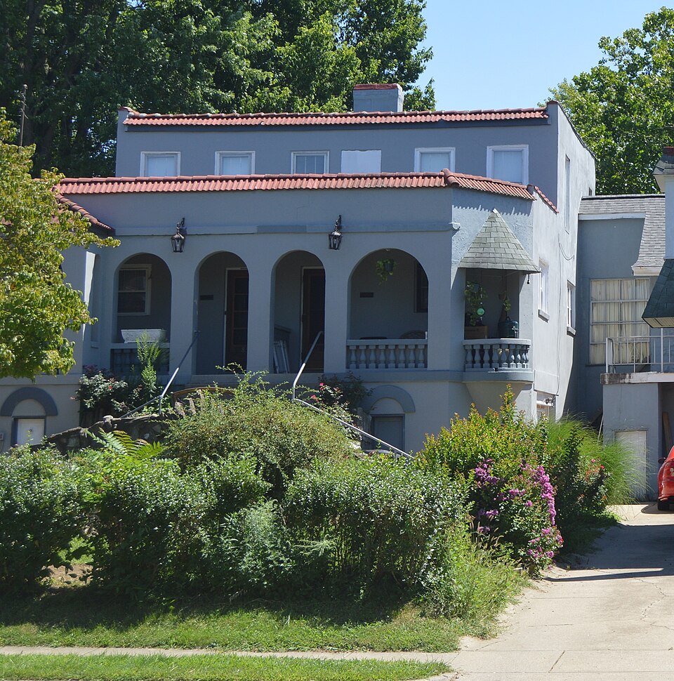
Listed on the National Register of Historic Places in 1984.
One of 76 National Register listings published here for Kenton County · listed in 1984 · category: Building.
Sources: the case file at the National Archives · the National Register database, National Park Service
Regional context, not property-specific evidence. The federal mineral resources record lists 6 workings within 5 miles of House at 855-857 Oak Street: 3 past producers, 2 producers, 1 unknown. 2 still produce. What was taken out: Salt, Stone, Crushed/Broken, Sand and Gravel, Construction, Tin. Distance is straight-line from the map coordinates, so a quarry counted here may appear on a neighbouring settlement's page as well.
| Where | Site | Commodity | Status | Recorded |
|---|---|---|---|---|
| Avril Co/ Cincinnati, Ohio | Tin, Lead, Antimony | Unknown | ||
| Constance Yard | Stone, Crushed/Broken | Producer | ||
| Taylorsport Mine | Sand and Gravel, Construction | Producer | ||
| Cargill Salt Terminal | Salt | Past Producer | ||
| Cincinnati Salt Service | Salt | Past Producer | ||
| Cincinnati Warehouse | Salt | Past Producer |
Regional context, not property-specific evidence. The National Weather Service names Ludlow, the town this property stands in, in 8 storm reports between 1997 and 2025: 6 thunderstorm wind, 2 flood. No death or injury is recorded in these reports. Each account below is quoted exactly as the forecast office filed it, from the NOAA Storm Events Database, and each date opens the federal record of that event.
| When | Event | Place named | Harm | What the report says |
|---|---|---|---|---|
| October 2001 | Thunderstorm Wind | Ludlow | $5,000 | Trees were knocked down across the northern part of the county. |
| January 1997 | Thunderstorm Wind | Ludlow | $5,000 | no account filed |
| March 2025 | Thunderstorm Wind | Ludlow | $3,000 | Multiple healthy trees were downed. |
| June 2025 | Thunderstorm Wind | Ludlow | $3,000 | A few trees were downed. |
| April 2020 | Thunderstorm Wind | Ludlow | $1,000 | A large tree was knocked down. |
| May 2011 | Thunderstorm Wind | Ludlow | $1,000 | A tree limb was down on a house due to damaging thunderstorm winds. |
| August 2025 | Flood | Ludlow | - | High water was reported on a couple of streets near the Ohio River. |
| May 2022 | Flood | Ludlow | - | High water was reported along West 4th Street. |
No historic map-sheet match is published for this property yet. That does not mean no map exists. This record needs a coordinate-quality review before it can be joined to a sheet boundary. Browse the county's mapped places while that work is pending.
Other National Register properties close enough to walk or drive between, ordered by distance from this one. Both positions come from the same geocoding pass that matched these properties to their map sheets.
| Photograph | Property | Distance | Listed |
|---|---|---|---|
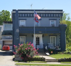 | House at 859 Oak Street | under 500 feet | 1984 |
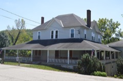 | Ludlow Lagoon Clubhouse | 0.2 miles | 1984 |
| Prettyman Merry House | 0.4 miles | 1987 | |
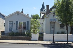 | Central Ludlow Historic District | 0.6 miles | 1984 |
 | Pleasant Run Stone House I | 0.7 miles | 1987 |
 | Elmwood Hall | 0.8 miles | 1972 |
| National Archives record | The nomination case file for reference 84000320 in Record Group 79. |
| Kenton County | All 76 listed properties in this county. |