 Block
From the record
4 National Register listings published here.
Sources: the National Register database, National Park Service
91 topographic sheets and 2 fire insurance atlases across 1 place.
4 National Register listings published here.
Sources: the National Register database, National Park Service
Taken for the Office of War Information and the Farm Security Administration, who photographed the country between 1935 and 1944. Works of United States government photographers, with no known restriction on use. Each opens its catalogue record.
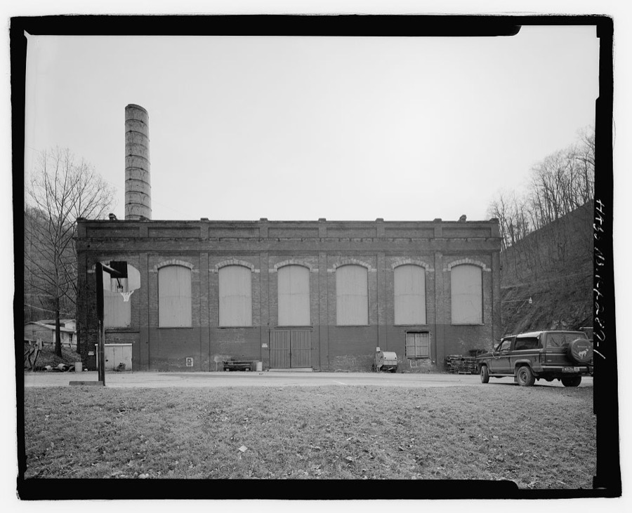
Every property in this county listed on the National Register of Historic Places, with the year it was listed and the federal nomination document.
| Photograph | Property | Type | Listed | Reference |
|---|---|---|---|---|
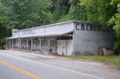 | C.B. Caudill Store | building | 2001 | 00001597 |
| Dunham High School | building | 2025 | 100011679 | |
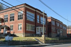 | Jenkins School | building | 2011 | 11000004 |
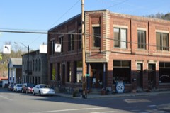 | Whitesburg Historic District | district | 2006 | 06000813 |
Sampled issues, machine-read from the Library of Congress scan and published page by page, so every headline and column is searchable text.
Whitesburg, Letcher County, Ky., 1907 to Current. Machine-read from the Library of Congress scan.
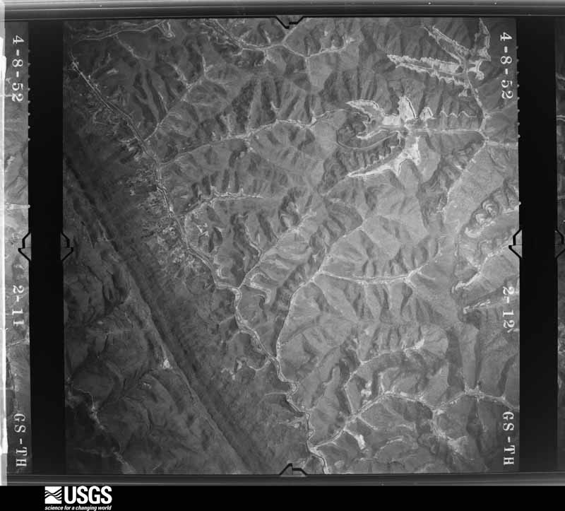
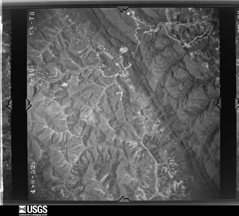
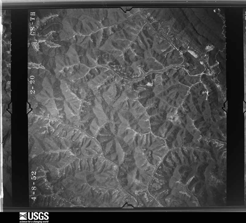
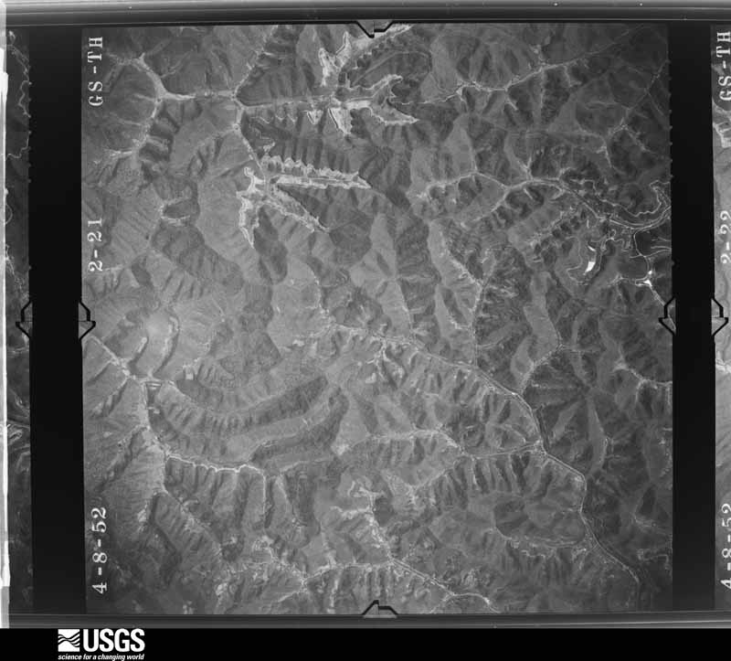
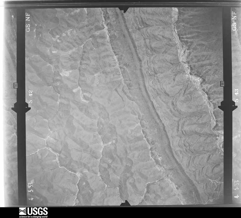
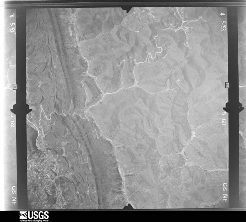
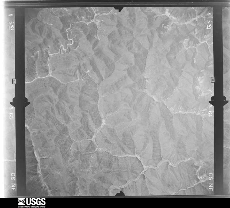
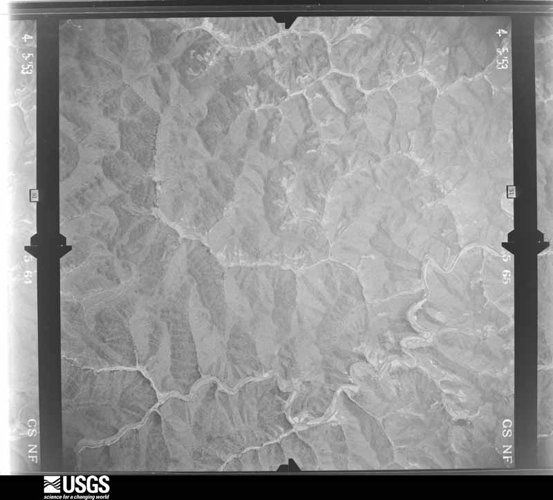
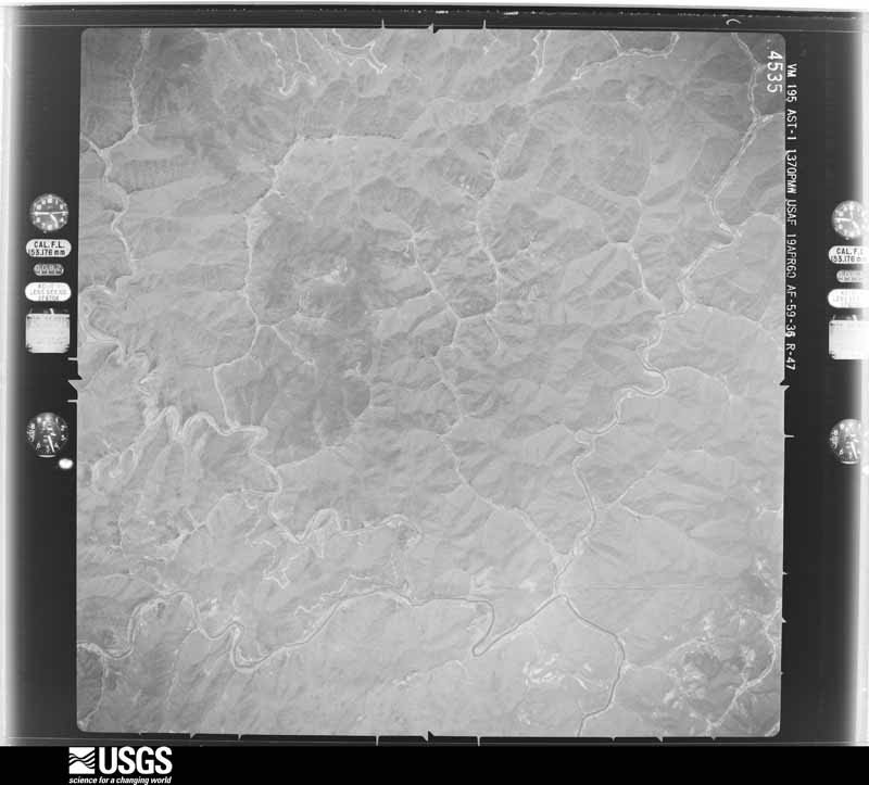
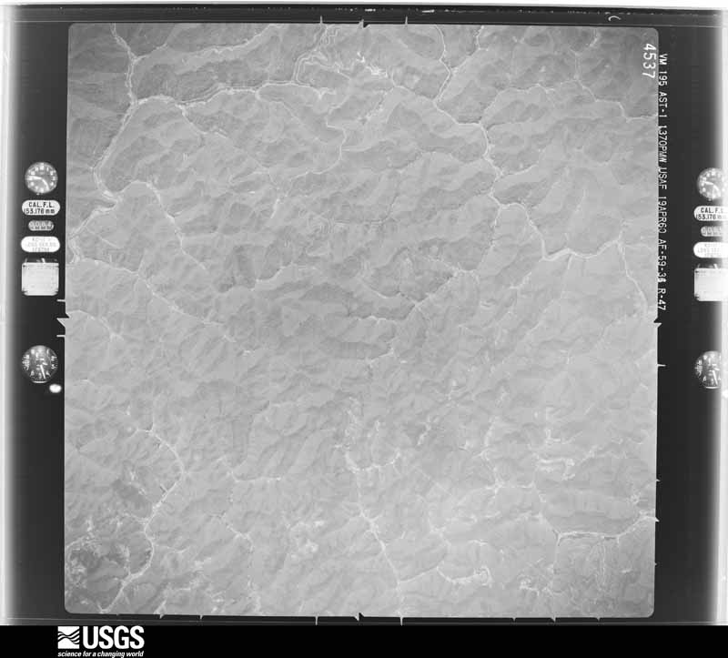
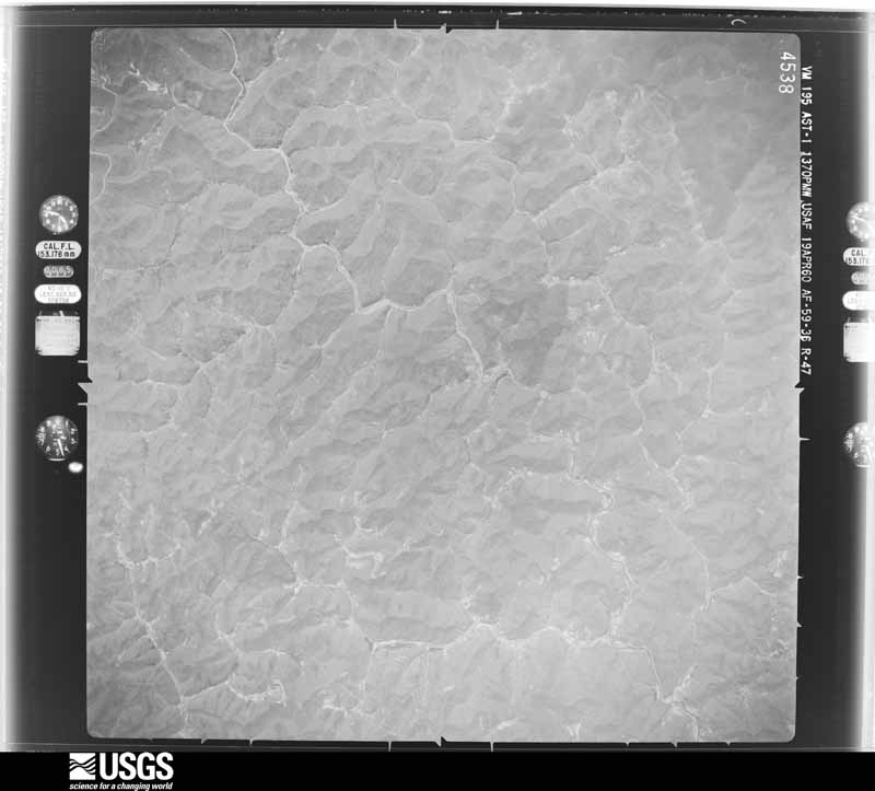
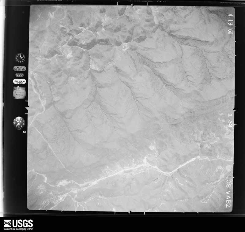
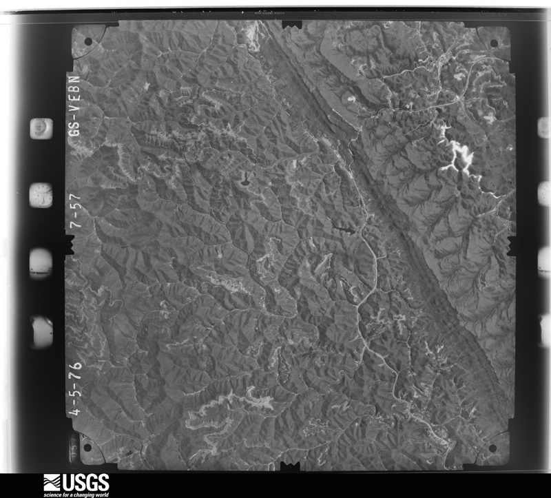
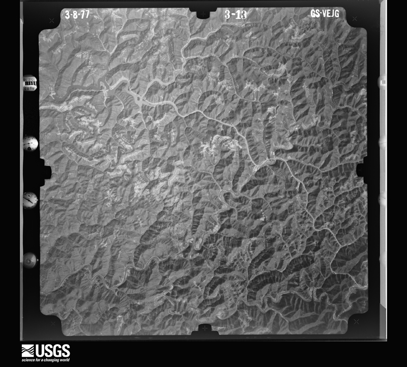
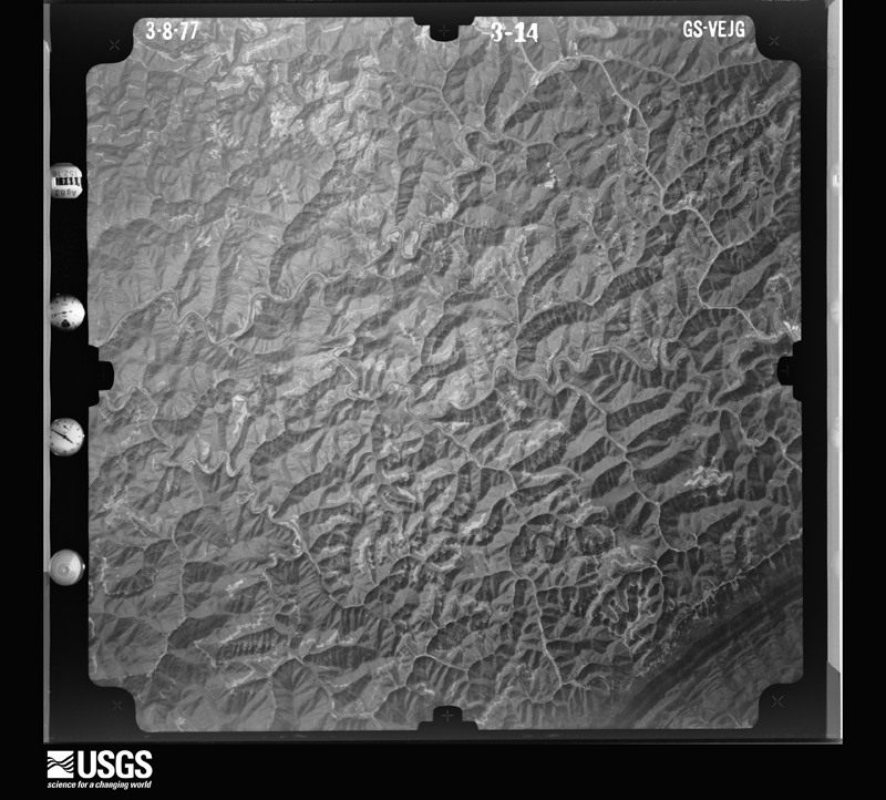
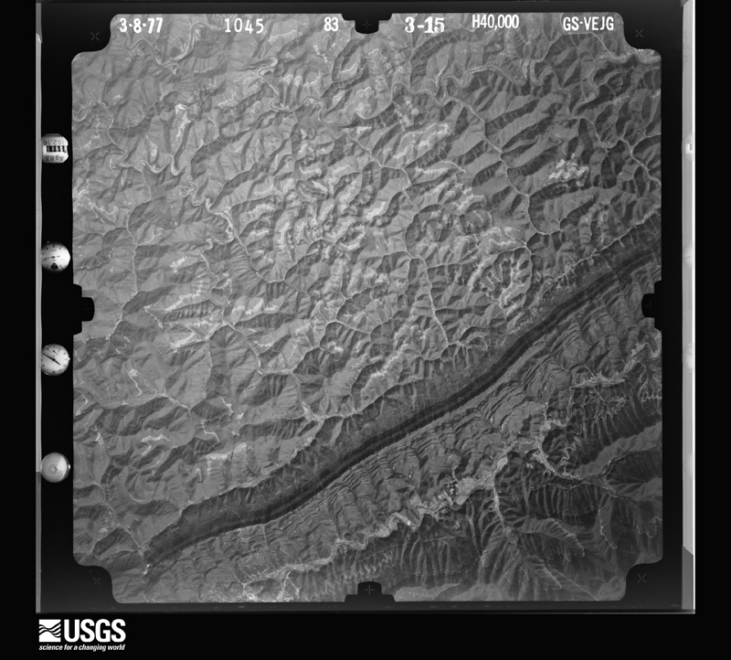
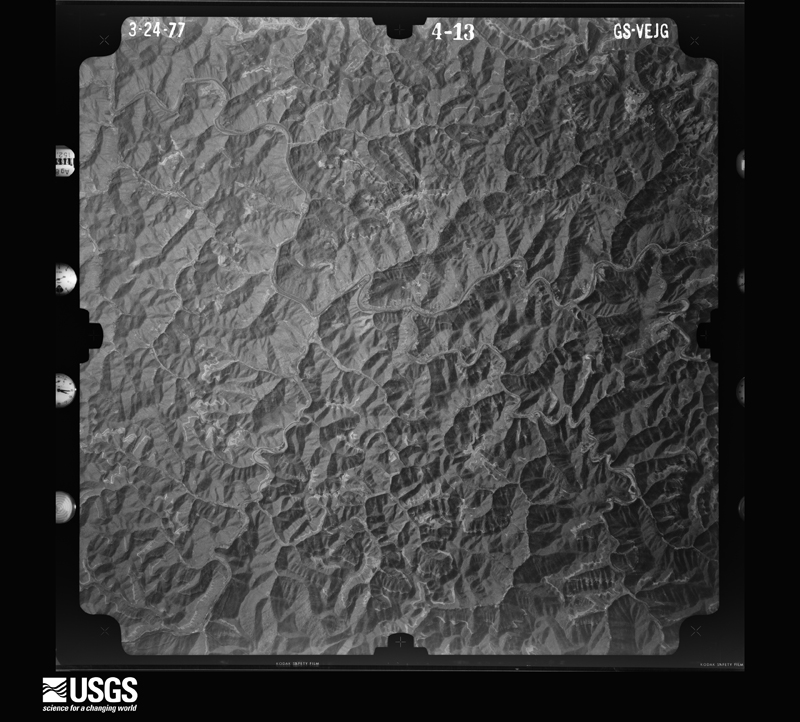
Flown by the U.S. Geological Survey between 1937 and 1989, the Aerial Photo Single Frames collection is the definitive mid-century view of the land: fields, roads and rivers as the camera saw them. The Survey holds 628 frames inside the rectangle that bounds this county; the 30 frames below were taken over the county itself, chosen across the decades of flights (at most four a year from that rectangle), so one flight cannot crowd out the rest. The full set is free to browse and download at EarthExplorer under the dataset Aerial Photo Single Frames.

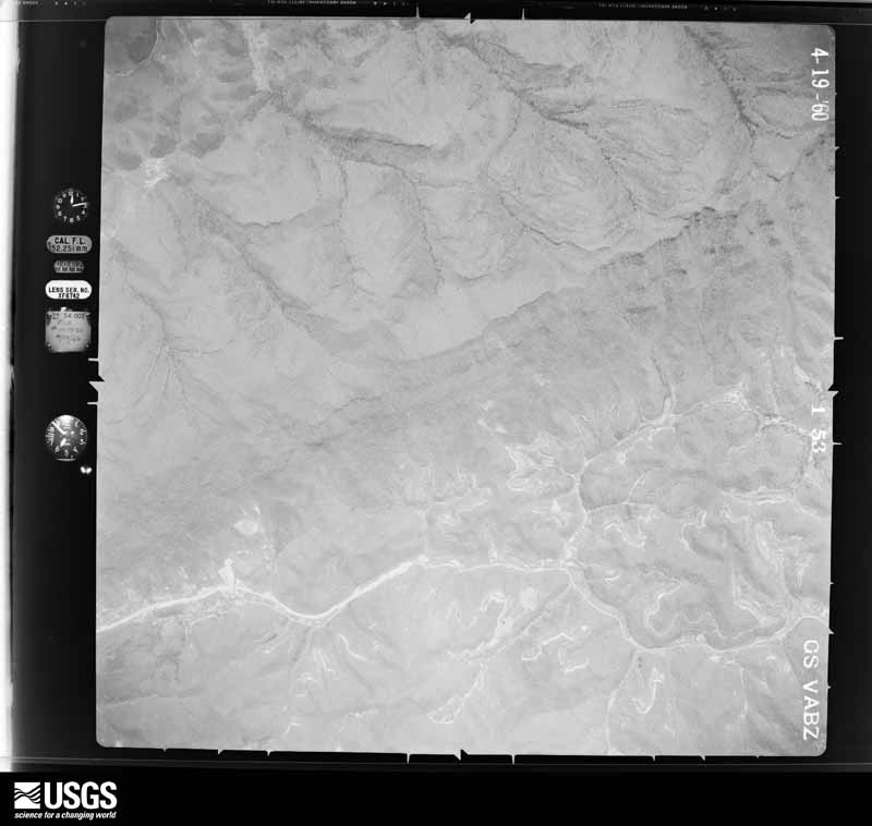
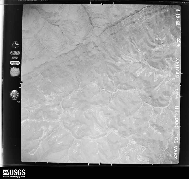
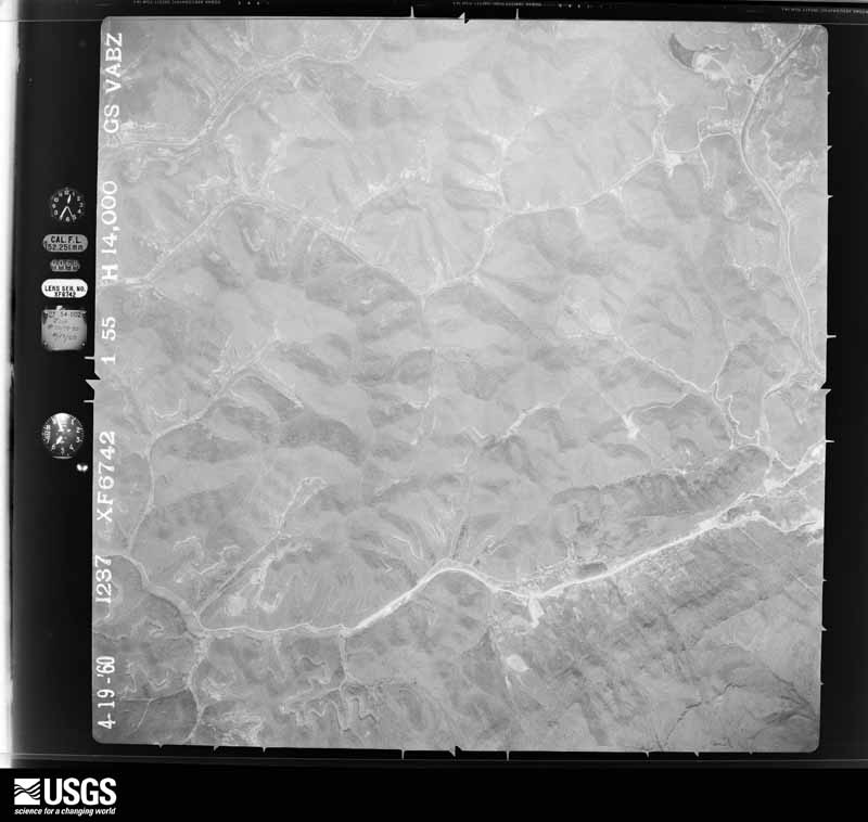
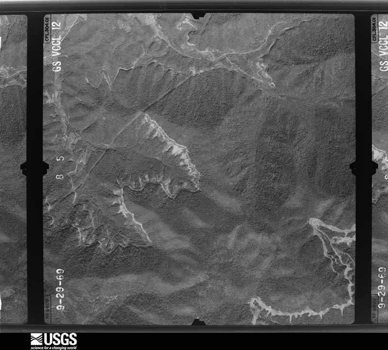
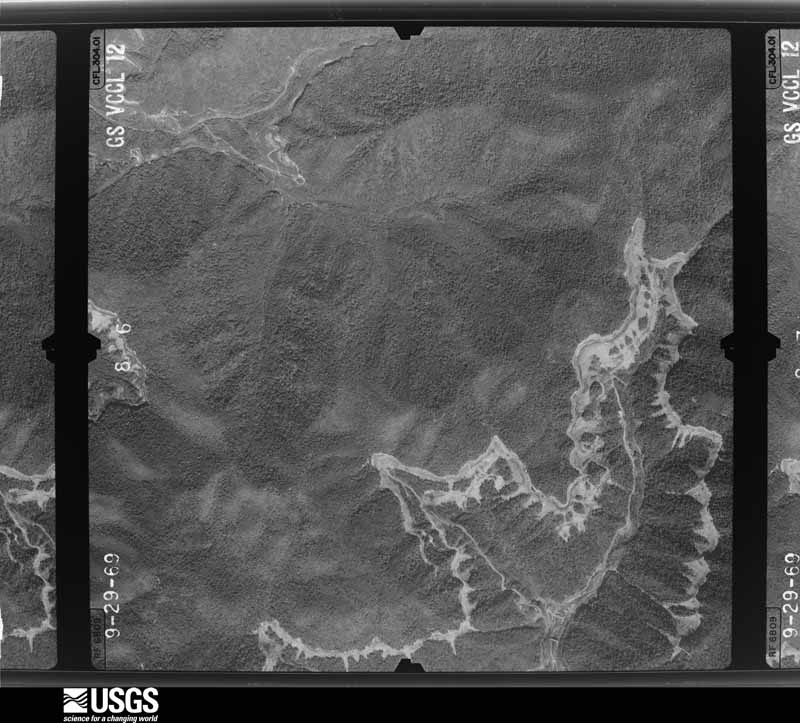


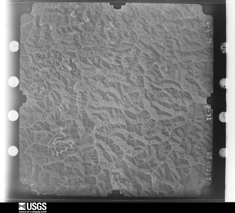
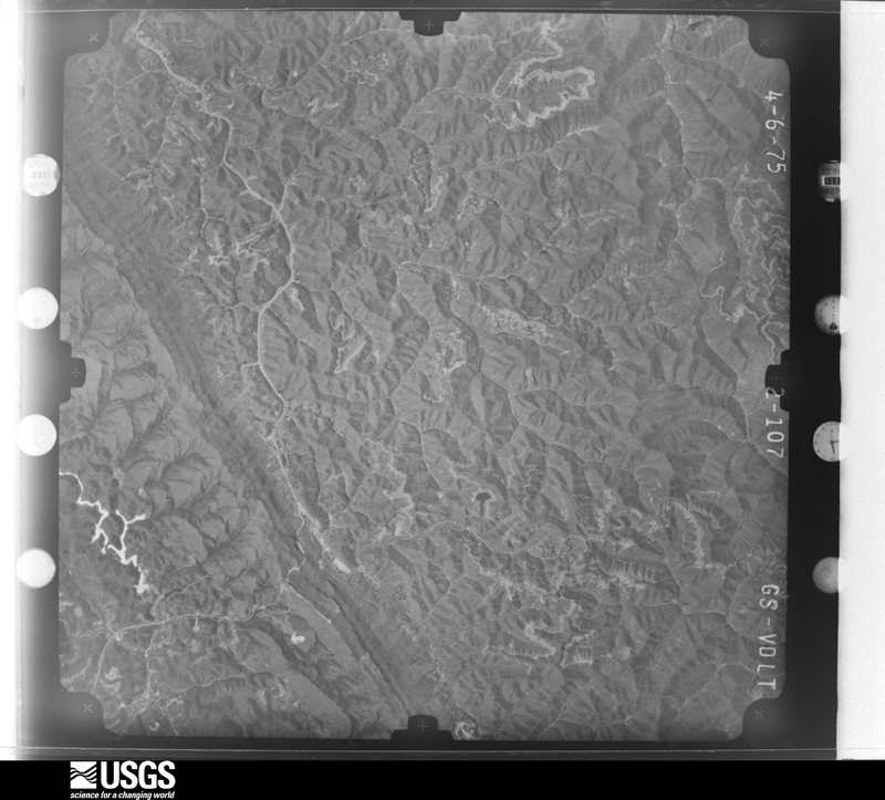

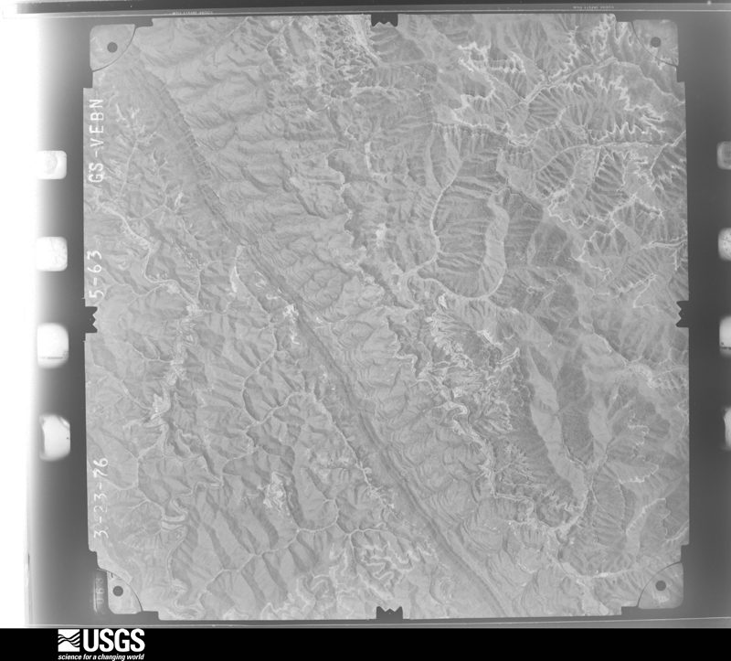

The thermometers that kept this county's weather, and the gages that measured the flow of its streams, as the federal records hold them. The extremes below are measured values from those records, not estimates.
Who lived here in 1950, one enumeration district at a time, as the Census Bureau described each district. Each row opens its official National Archives result, with Population Schedules and ED Maps available there.
Every wildfire the federal occurrence database records inside this county: 788 of them, burning about 38,228 acres. None started naturally and 118 were recorded as arson. Each settlement page carries the fires within five miles of it.
| Reported cause | Fires |
|---|---|
| Debris and open burning | 385 |
| Missing data/not specified/undetermined | 194 |
| Arson/incendiarism | 118 |
| Recreation and ceremony | 73 |
| Equipment and vehicle use | 6 |
| Misuse of fire by a minor | 5 |
| Railroad operations and maintenance | 4 |
| Smoking | 3 |
The five largest, by the area the report gives. Three of them were set deliberately.
| Date | Cause | Size | Reported by | Name on the report |
|---|---|---|---|---|
| 4 November 2016 | Missing data/not specified/undetermined | 2,765 acres | Kentucky Division of Forestry | CLOVERLICK FIRE |
| 7 November 1999 | Arson/incendiarism | 1,756 acres | Kentucky Division of Forestry | not named |
| 25 November 2012 | Debris and open burning | 1,542 acres | Kentucky Division of Forestry | BARTESTA B |
| 26 October 2016 | Debris and open burning | 1,500 acres | Kentucky Division of Forestry | LITTLE SHEPHERDS TRAIL |
| 7 April 1999 | Debris and open burning | 1,500 acres | Kentucky Division of Forestry | not named |
| 1 November 2001 | Arson/incendiarism | 1,500 acres | Kentucky Division of Forestry | not named |
| 2 November 2016 | Debris and open burning | 1,200 acres | Kentucky Division of Forestry | NUMBER ONE HILL |
| 10 November 2001 | Arson/incendiarism | 1,000 acres | Kentucky Division of Forestry | not named |
Every settlement page carries the fires within five miles of it - see the settlement index below.
The NOAA Storm Events Database holds 285 reports for this county, causing 3 deaths, no injuries and about $5,439,500 in recorded property damage. Each settlement page carries the reports that name it.
| Kind of event | Reports |
|---|---|
| Thunderstorm Wind | 143 |
| Flash Flood | 49 |
| Hail | 41 |
| Flood | 31 |
| Heavy Rain | 16 |
| Tornado | 2 |
| Lightning | 1 |
| Funnel Cloud | 1 |
| Debris Flow | 1 |
The most serious of them, by death, then injury, then recorded damage. The accounts are quoted exactly as the forecast office filed them.
| When | Event | Place named | Harm | What the report says |
|---|---|---|---|---|
| July 2022 | Flash Flood | Day | 3 killed | Multiple reports of flash flooding were received across the eastern half of Letcher County. Some of these reports include:||01:00 AM EST - Pictures show a car forced into a culvert pipe by flash flooding in front of the Colson Volunteer Fire Department. |05:00 AM EST - The Isom IGA is innundated to above the doorway by flash flooding along Rockhouse Creek.|05:20 AM EST - A picture showed the Appalshop at Whitesburg innundated by flash flood waters. |05:30 AM EST - A picture showed several feet of flash flood waters rushing down East Main Street (KY-15) in front of the Railroad Street Mercantile of downtown Whitesburg.|06:00 AM EST - Flash flooding was reported at 7:12 AM EST (though likely started closer to 6:00 AM EST) along KY-119 between JD Maggard Store and the Upper FD. |07:00 AM EST - The cooperative observer located 1 mile SSW of Ermine measured a 24-hour rainfall total of 3.45 inches. |
| June 1983 | Tornado (F1) | not stated | $2,500,000 | no account filed |
| August 2001 | Flash Flood | Countywide | $548,000 | Public roads and bridges were no match for the flash flooding that moved through the county. Heavy rains on already saturated ground produced widespread damage. The damage was extensive enough for the county to be classified as a Presidentially Declared Disaster Area. Homes were also damaged in the deluge in the Gilley and Gordon areas. Kentucky Highway 510 was completely flooded and residents of the area had to be rescued from the high water. |
| June 2004 | Flash Flood | Whitesburg | $500,000 | One foot of water was over Highway 931, south of Cowan. Highway 931 was washed out near Highway 2035 and residents were evacuated out of their homes in Cowan. Highway 2035 was impassable and water was reported to have flooded into homes. |
| February 2020 | Flood | Jenkins | $350,000 | A local radio station reported nearly 3 dozen roads impacted by flood waters across Letcher County, including several locations in Whitesburg and Jenkins. Mudslides were also caused by the previous heavy rainfall. Elkhorn Dam was seen with water rushing over it into the streets downtown due to the heavy rain.||Emergency Management also reported numerous roads impacted by flood waters. The most substantial of these being on Orchard Road near the community of Ice, west of Whitesburg. High water in the North Fork of the Kentucky River caused a pier of a bridge to be ripped up and destroyed. |
| July 2000 | Flash Flood | Countywide | $300,000 | Flash flooding caused significant damage to 20 roads and at least 18 bridges. Six of the damaged bridges were deemed unusable. 15 to 20 homes received water damage and two were evacuated. |
| May 1978 | Tornado (F1) | not stated | $250,000 | no account filed |
| July 2002 | Flash Flood | Fleming | $200,000 | Heavy rains sent flood waters raging through the town of Fleming-Neon and some outlying areas. The flash flooding damaged homes, closed businesses, and coated City Hall in mud. The flooding also temporarily closed local roads. |
| July 2004 | Flash Flood | Whitesburg | $110,000 | Greater than six inches of water was flowing across the intersection of Kentucky Highways 119 and 2035. Near the community of Cowan, two to three people were evacuated. Fifteen homes sustained interior water damage with an additional 15 homes receiving exterior water damage. Three to four bridges were washed out and a portion of Highway 931 was damaged. |
| May 2018 | Flash Flood | Millstone | $80,000 | Dispatch and local media reported several instances of flash flooding from near Fish Pond Lake to Fleming-Neon and Whitaker. This included portions of Kentucky Highway 3406 being closed, along with several other local roads. Just southeast of Tolliver Town and near Payne Gap, a couple of culverts were displaced due to swiftly flowing flood waters. Three people had to be rescued from their vehicles after they became inundated by water, while four homes were flooded. |
| February 2019 | Heavy Rain | Skyline | $70,000 | Local media reported at least 30 rock and mud slides in and around Whitesburg and throughout the county, along with pavement breaks. A slide in Whitesburg caused Main Street to be shutdown for a couple of weeks to ensure its structural integrity. |
| May 2009 | Thunderstorm Wind | Whitesburg | $50,000 | Downed power lines left 3500 people without power across the county. |
| June 2009 | Flash Flood | Hemphill | $50,000 | A bridge on Highway 343 was washed out. Homes on Yonts Fork Road had water flowing into them. |
| April 1998 | Flash Flood | Countywide | $40,000 | no account filed |
| May 2009 | Thunderstorm Wind | Whitesburg | $30,000 | Numerous trees were reported down on Hwys 317, 805 and 343. Similar problems were also reported in Fleming Neon and Jenkins. |
| April 2012 | Thunderstorm Wind | Crown | $25,000 | Power lines were blown down 2 miles northwest of Whitesburg in the Sand Lick and Smoot areas. |
| April 2007 | Thunderstorm Wind | Whitesburg | $25,000 | Trees down countywide. Road crews spent 2 days cutting downed trees off the roads. |
| April 1998 | Hail | Isom | $20,000 | no account filed |
| April 1998 | Hail | Fleming | $20,000 | no account filed |
| April 1998 | Flash Flood | Countywide | $20,000 | no account filed |
| August 2022 | Flash Flood | Neon | $15,000 | Pictures show King's Collision (NAPA store) in Neon surrounded by flash flood waters. The waters were up to the floor of a vehicle in the parking lot. The media also reported flash flooding on the streets at the intersection of KY-317 and KY-343 just past King's Collision. |
| August 2001 | Thunderstorm Wind | Premium | $15,000 | A roof was blown off of a house. |
| April 2012 | Flash Flood | Colson | $10,000 | Flash flooding occurred in the Sandlick and Smoot Creek areas with flood waters and mudslides closing highway 931 near Polly and Lucastown and highway 1148 near Sandlick Gap. Two people were trapped in their home and one person was trapped in a car. A local state of emergency was declared and several bridges and culverts were damaged by the floods. |
| June 2009 | Thunderstorm Wind | Fleming | $10,000 | Trees were blown down in several areas around Fleming-Neon. |
| May 2008 | Thunderstorm Wind | Jeremiah | $10,000 | Thunderstorm wind gusts downed trees and caused damage to roofs and chimneys on homes in the Blair Branch community. |
| August 2007 | Lightning | Isom | $10,000 | Lightning struck transformer 3 miles from junction of Highways 315 and 7 towards Dean. Powerlines were also down. |
| June 2004 | Flash Flood | Letcher | $10,000 | Highway 2036 was washed out at Mill Branch Road. |
| August 2003 | Flash Flood | Whitesburg | $10,000 | Several areas of Letcher County were affected by flash flooding. At 3:30 pm EDT, four feet of water was reported running over Kentucky Route 7. At 4:13 pm, one to two feet of running water was reported over Route 1811, about 5 miles northwest of Whitesburg. At 4:24 pm, high water was reported flowing over Route 3402 from Little Dry Fork, making the road impassable. At 4:30 pm, 4 to 6 feet of water were reported over Doty Creek Road near Highway 7, washing the road out. |
| January 2002 | Heavy Rain | Kings Creek | $10,000 | A home under construction at Ratcliff Branch was knocked off of its foundation from a mudslide. |
| May 2008 | Thunderstorm Wind | Jeremiah | $8,000 | Numerous large tree limbs up to 5 inches in diameter were blown down. Two chimneys were also blown down from two very old and poorly constructed houses. |
| June 2008 | Thunderstorm Wind | Whitesburg | $7,000 | A tree was blown down on Highway 15. Numerous large limbs were also blown down. |
| April 2006 | Thunderstorm Wind | Thornton | $7,000 | Porch blown off house and roof's torn off two houses. Several trees blown down. |
| May 2002 | Thunderstorm Wind | Countywide | $7,000 | Numerous trees and power lines were downed by strong winds across much of Letcher county, including the towns of Millstone, Thornton, and Sandlick. |
| January 2008 | Thunderstorm Wind | Fleming | $6,000 | Trees were blown down on KY Highway 805 near Fleming-Neon by wind gusts estimated at 62 mph. |
| May 2024 | Thunderstorm Wind | Whitesburg | $5,000 | Numerous reports of trees and power lines down throughout the county. |
| February 2019 | Heavy Rain | Premium | $5,000 | Local media reported a local bridge off Arrowhead Drive near Kings Creek becoming unstable due to recent rains. This closure of the bridge temporarily trapped three families across the bridge. |
| October 2014 | Flood | Neon | $5,000 | Flood damage was reported in downtown Neon at the Junction of Highway's 317 and 3407. |
| June 2011 | Thunderstorm Wind | Ermine | $5,000 | Several trees were blown down on Hwy 119 near Little Cowan Creek. |
| June 2010 | Thunderstorm Wind | Southdown | $5,000 | Several trees were blown down in Southdown. |
| June 2009 | Thunderstorm Wind | Fleming | $5,000 | Trees were blown down in the Neon and Haymond areas. |
| June 2009 | Thunderstorm Wind | Jeremiah | $5,000 | Tree's were blown down. |
| January 2008 | Thunderstorm Wind | Whitesburg | $5,000 | Trees were blown down on U.S. 119 near the top of Pine Mountain by wind gusts estimated at 62 mph. |
| January 1999 | Thunderstorm Wind | Ice | $5,000 | Trailer blown over. |
| November 1996 | Flash Flood | Whitesburg | $5,000 | no account filed |
| July 2008 | Thunderstorm Wind | Whitesburg | $4,000 | A large tree was blown down onto a shed. The tree took down power lines leading to the adjacent house and crushed the power meter attached to the house, while doing only minor damage to the house itself. |
| June 2010 | Thunderstorm Wind | Fleming | $3,000 | Trees blown down by thunderstorm wind gusts were blocking the road on Rte 805 near Fleming Neon. |
| August 2010 | Thunderstorm Wind | Thornton | $3,000 | Three trees were blown down in Thornton. |
| June 2009 | Thunderstorm Wind | Whitesburg | $3,000 | One tree and one power line were blown down. |
| June 2008 | Thunderstorm Wind | Fleming | $3,000 | A tree was blown down and across Highway 343, blocking the roadway. Numerous large limbs were also blown down. |
| July 2007 | Thunderstorm Wind | Roxana | $3,000 | Three trees down on Highway 160 near Kings Creek. |
| May 2002 | Thunderstorm Wind | Millstone | $3,000 | Strong winds blew down trees and power lines. |
| August 2001 | Thunderstorm Wind | Whitesburg | $3,000 | High winds brought trees down in the area. One tree fell onto a truck producing damage. |
| May 1998 | Thunderstorm Wind | Whitesburg | $3,000 | Trees and power lines were downed across the county. |
| March 1997 | Thunderstorm Wind | Whitesburg | $3,000 | no account filed |
| March 1997 | Flash Flood | Blackey | $3,000 | no account filed |
| May 1996 | Flash Flood | Ulvah | $3,000 | no account filed |
| December 2025 | Thunderstorm Wind | Adams | $2,000 | The Letcher County EM shared pictures of downed trees and powerlines along KY-7 between Adams Branch Road and CR-1339, just southwest of Isom. |
| April 2006 | Thunderstorm Wind | Whitesburg | $2,000 | Power lines blown down in the Dry Fork area. |
| April 2000 | Thunderstorm Wind | Colson | $2,000 | Roof damage to home. |
| December 2025 | Thunderstorm Wind | Letcher | $1,000 | A report on social media showed a metal building in the 4300 block of KY-7 (between the Jeremiah and Letcher communities) with a peeled back roof. Pieces of sheet metal were blown straight into the yard of the neighboring property, along with lawn ornaments, outdoor furniture, and a metal swing set. |
The Survey's mineral resources record lists 7 workings inside this county. 4 still produce and 3 are closed or unrecorded. Each settlement page carries the workings within five miles of it.
| Commodity | Workings |
|---|---|
| Stone, Crushed/Broken | 4 |
| Silica | 2 |
| Clay | 1 |
The least common of them first, because a county's hundredth gravel pit says nothing its first ten did not.
| Where | Site | Commodity | Status | Recorded |
|---|---|---|---|---|
| Pine Mountain Gap Shale | Clay | Prospect | ||
| Gordon Lewis Sandpit | Silica | Prospect | ||
| Hurricane Gap Sand Pit | Silica | Prospect | ||
| Hurricane Gap Quarry | Stone, Crushed/Broken | Producer | ||
| Jenkins Mine | Stone, Crushed/Broken | Producer | ||
| Whitesburg Mill Quarry | Stone, Crushed/Broken | Producer | ||
| Whitesburg Mine | Stone, Crushed/Broken | Producer |
Named settlements recorded in the Geographic Names Information System, each with the topographic sheets covering it. Villages, hamlets and abandoned places alike. Each is shown with the nearest named watercourse or landform and the survey quadrangle it falls on. The 1 place that was also surveyed for fire insurance comes first, with the number of atlases and photographs held for them.
Whitesburg census division · 41858 · On Solomon Branch · Whitesburg quadrangle
18 sheets, 1890 to 1977
Fire insurance: 2 atlases
Jenkins census division · 41537 · On McPeak Branch · Jenkins East quadrangle
19 sheets, 1890 to 1992
Colson census division · 41858 · On Camp Fork · Blackey quadrangle
18 sheets, 1890 to 1992
Blackey census division · 41821 · On Wolfpen Branch · Tilford quadrangle
14 sheets, 1891 to 1977
Jenkins census division · 41537 · On Johns Fork · Jenkins West quadrangle
18 sheets, 1890 to 1992
Whitesburg census division · 41858 · On Persimmon Branch · Mayking quadrangle
17 sheets, 1890 to 1992
Whitesburg census division · 41858 · On Sturgill Branch · Whitesburg quadrangle
18 sheets, 1890 to 1977
No longer a settlement
Blackey census division · 41804 · On Rockhouse Creek · Blackey quadrangle
18 sheets, 1890 to 1992
Jenkins census division · 41837 · On Long Branch · Jenkins West quadrangle
18 sheets, 1890 to 1992
No longer a settlement
Jenkins census division · 41517 · On Bens Branch · Jenkins East quadrangle
19 sheets, 1890 to 1992
Colson census division · 41858 · On Sugar Branch · Mayking quadrangle
17 sheets, 1890 to 1992
No longer a settlement
Blackey census division · 41832 · On Right Fork Doty Creek · Blackey quadrangle
18 sheets, 1890 to 1992
Blackey census division · 41804 · Near Dixon Mountain · Blackey quadrangle
18 sheets, 1890 to 1992
Whitesburg census division · 41815 · On Crafts Colly Creek · Whitesburg quadrangle
18 sheets, 1890 to 1977
No longer a settlement
Jenkins census division · 41838 · On Left Fork Millstone Creek · Mayking quadrangle
17 sheets, 1890 to 1992
No longer a settlement
Jenkins census division · 41810 · On Bear Branch · Jenkins West quadrangle
18 sheets, 1890 to 1992
Whitesburg census division · 41858 · Near Loggy Hollow · Mayking quadrangle
17 sheets, 1890 to 1992
Whitesburg census division · 41858 · On Long Branch · Whitesburg quadrangle
18 sheets, 1890 to 1977
Blackey census division · 41833 · On Looney Branch · Roxana quadrangle
16 sheets, 1890 to 1977
Colson census division · 41858 · On Big Branch · Mayking quadrangle
17 sheets, 1890 to 1992
Whitesburg census division · 41858 · On Little Cowan Creek · Whitesburg quadrangle
18 sheets, 1890 to 1977
Jenkins census division · 41537 · On Grays Branch · Jenkins West quadrangle
18 sheets, 1890 to 1992
Jenkins census division · 41537 · On Little Potter Branch · Jenkins East quadrangle
19 sheets, 1890 to 1992
Eolia census division · 40826 · On Meadow Fork · Whitesburg quadrangle
18 sheets, 1890 to 1977
Whitesburg census division · 41858 · On Crafts Colly Creek · Whitesburg quadrangle
18 sheets, 1890 to 1977
Jenkins census division · 41855 · On Wolfpen Branch · Mayking quadrangle
17 sheets, 1890 to 1992
Jenkins census division · 41840 · On Bottom Fork · Jenkins West quadrangle
18 sheets, 1890 to 1992
Jenkins census division · 41840 · On Yonts Fork · Jenkins West quadrangle
18 sheets, 1890 to 1992
Blackey census division · 41858 · On Flintfield Branch · Roxana quadrangle
16 sheets, 1890 to 1977
Jenkins census division · 41537 · On Joes Branch · Jenkins East quadrangle
19 sheets, 1890 to 1992
Blackey census division · 41819 · On Bear Branch · Louellen quadrangle
23 sheets, 1887 to 1977
Blackey census division · 41833 · On Valley Branch · Louellen quadrangle
23 sheets, 1887 to 1977
Blackey census division · 41821 · On Saltlick Branch · Tilford quadrangle
14 sheets, 1891 to 1977
Jenkins census division · 41825 · On Quillen Fork · Jenkins West quadrangle
18 sheets, 1890 to 1992
Blackey census division · 41845 · On Johnson Branch · Blackey quadrangle
18 sheets, 1890 to 1992
Blackey census division · 41833 · On Defeated Creek · Roxana quadrangle
16 sheets, 1890 to 1977
No longer a settlement
Whitesburg census division · 41858 · On Brown Branch · Whitesburg quadrangle
18 sheets, 1890 to 1977
Blackey census division · 41804 · On Rockhouse Creek · Blackey quadrangle
18 sheets, 1890 to 1992
No longer a settlement
Blackey census division · 41824 · On Stampers Branch · Blackey quadrangle
18 sheets, 1890 to 1992
Jenkins census division · 41537 · On Little Elkhorn Creek · Jenkins West quadrangle
18 sheets, 1890 to 1992
Blackey census division · 41826 · On Spring Branch · Blackey quadrangle
18 sheets, 1890 to 1992
Blackey census division · 41858 · On Cottonpatch Branch · Roxana quadrangle
16 sheets, 1890 to 1977
No longer a settlement
Blackey census division · 41858 · On Fugate Branch · Roxana quadrangle
16 sheets, 1890 to 1977
Jenkins census division · 41858 · On Boone Fork · Jenkins West quadrangle
18 sheets, 1890 to 1992
Blackey census division · 41832 · On Crases Branch · Blackey quadrangle
18 sheets, 1890 to 1992
41537 · On Johns Fork · Jenkins East quadrangle
19 sheets, 1890 to 1992
No longer a settlement
Blackey census division · 41833 · On Dry Fork · Roxana quadrangle
16 sheets, 1890 to 1977
No longer a settlement
Whitesburg census division · 41824 · On Cow Branch · Mayking quadrangle
17 sheets, 1890 to 1992
No longer a settlement
Whitesburg census division · 41855 · On Indian Creek · Mayking quadrangle
17 sheets, 1890 to 1992
Whitesburg census division · 41858 · On Thompson Branch · Mayking quadrangle
17 sheets, 1890 to 1992
Colson census division · 41858 · On Daniels Branch · Blackey quadrangle
18 sheets, 1890 to 1992
No longer a settlement
Whitesburg census division · 41858 · On Bottom Fork · Mayking quadrangle
17 sheets, 1890 to 1992
Jenkins census division · 41835 · On Chopping Branch · Jenkins West quadrangle
18 sheets, 1890 to 1992
Jenkins census division · 41838 · On Millstone Creek · Mayking quadrangle
17 sheets, 1890 to 1992
Blackey census division · 41819 · On Bear Branch · Louellen quadrangle
23 sheets, 1887 to 1977
No longer a settlement
Jenkins census division · 41840 · On Yonts Fork · Jenkins West quadrangle
18 sheets, 1890 to 1992
Jenkins census division · 41537 · On Potter Fork · Jenkins West quadrangle
18 sheets, 1890 to 1992
Whitesburg census division · 41858 · On Frazier Branch · Roxana quadrangle
16 sheets, 1890 to 1977
Eolia census division · 40826 · On Franks Creek · Whitesburg quadrangle
18 sheets, 1890 to 1977
Eolia census division · 40862 · On Andy Branch · Roxana quadrangle
16 sheets, 1890 to 1977
Jenkins census division · 41537 · On Buck Branch · Jenkins West quadrangle
18 sheets, 1890 to 1992
Whitesburg census division · 41858 · Near Cane Hollow · Mayking quadrangle
17 sheets, 1890 to 1992
Jenkins census division · 41810 · On Grays Branch · Jenkins West quadrangle
18 sheets, 1890 to 1992
Whitesburg census division · 41858 · On Daniels Branch · Blackey quadrangle
18 sheets, 1890 to 1992
Jenkins census division · 41849 · Near Bentley Hollow · Jenkins West quadrangle
18 sheets, 1890 to 1992
Whitesburg census division · 41858 · On Webb Branch · Mayking quadrangle
17 sheets, 1890 to 1992
Whitesburg census division · 41858 · On Trace Fork · Mayking quadrangle
17 sheets, 1890 to 1992
No longer a settlement
Whitesburg census division · 41815 · On Company Branch · Mayking quadrangle
17 sheets, 1890 to 1992
Whitesburg census division · 41855 · On Wolfpen Branch · Mayking quadrangle
17 sheets, 1890 to 1992
Whitesburg census division · 41824 · On Cow Branch · Mayking quadrangle
17 sheets, 1890 to 1992
Jenkins census division · 41537 · On Potter Fork · Jenkins West quadrangle
18 sheets, 1890 to 1992
Blackey census division · 41821 · On Cole Fork · Tilford quadrangle
14 sheets, 1891 to 1977
No longer a settlement
Eolia census division · 40826 · On Roberts Branch · Flat Gap quadrangle
20 sheets, 1890 to 1977
No longer a settlement
Blackey census division · 41845 · On Hollybush Branch · Mayking quadrangle
17 sheets, 1890 to 1992
Whitesburg census division · 41858 · On Sandlick Creek · Whitesburg quadrangle
18 sheets, 1890 to 1977
No longer a settlement
Jenkins census division · 41840 · On Long Branch · Jenkins West quadrangle
18 sheets, 1890 to 1992
Whitesburg census division · 41858 · On Sandlick Creek · Whitesburg quadrangle
18 sheets, 1890 to 1977
The vanished settlements of Letcher County: the places named above that are no longer on the map.
The complete index, with nothing left out. Each of these is a separate record with its own page: a federal survey report, or the case file that argued a property on to the National Register. Both are public domain and reproduced word for word.
The vanished settlements of Letcher County, the places these records name that are no longer on the map.