 Block
From the record
22 National Register listings published here.
Sources: the National Register database, National Park Service
39 topographic sheets and 8 fire insurance atlases across 1 place.
22 National Register listings published here.
Sources: the National Register database, National Park Service
Taken for the Office of War Information and the Farm Security Administration, who photographed the country between 1935 and 1944. Works of United States government photographers, with no known restriction on use. Each opens its catalogue record.
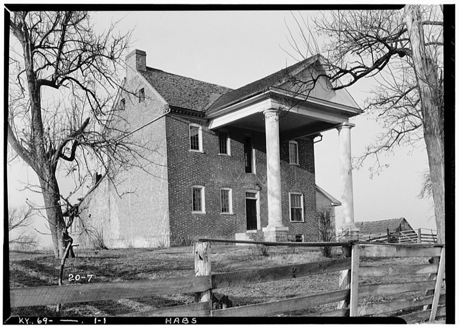
Every property in this county listed on the National Register of Historic Places, with the year it was listed and the federal nomination document.
| Photograph | Property | Type | Listed | Reference |
|---|---|---|---|---|
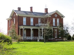 | James W. Alcorn House | building | 1980 | 80001649 |
| Arcadia | building | 1976 | 76000913 | |
 | Baughman's Mill and Stanford Railroad Depot | building | 1978 | 78001373 |
| John Baughman House | building | 1978 | 78001374 | |
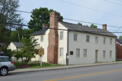 | Samuel and Mary Logan Briggs House | building | 1975 | 75000794 |
| Confederate Monument at Crab Orchard | object | 1997 | 97000682 | |
| Helm-Engleman House | building | 1983 | 83002808 | |
| Hoffman House | building | 1983 | 83002809 | |
| Nathan Huston House | building | 1983 | 83002810 | |
 | Lincoln County Courthouse | building | 1976 | 76000915 |
| John Logan House | building | 1975 | 75000795 | |
| McCormack Church | building | 1976 | 76000916 | |
| Abraham Miller House | building | 2001 | 00001083 | |
 | Dr. Thomas Montgomery House | building | 1978 | 78001375 |
| Adam Pence House | building | 1978 | 78001376 | |
| Richland Farm | building | 2004 | 04000792 | |
| Stanford Commercial District | district | 1986 | 86003173 | |
| Swope-Dudderar House and Mill Site | building | 1979 | 79001020 | |
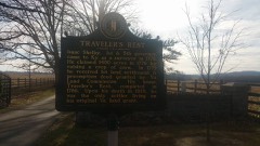 | Traveler's Rest | building | 1976 | 76000914 |
| Walnut Meadows | building | 1978 | 78001377 | |
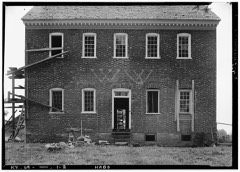 | William Whitley House State Shrine | building | 1973 | 73000814 |
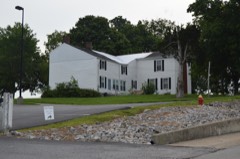 | Horace Withers House | building | 1987 | 87002189 |
Sampled issues, machine-read from the Library of Congress scan and published page by page, so every headline and column is searchable text.
Stanford, Ky., 1872 to 1881. Machine-read from the Library of Congress scan.
Stanford, Ky., 1881 to 1905. Machine-read from the Library of Congress scan.
Stanford, Ky., 1905 to 1910. Machine-read from the Library of Congress scan.
Stanford, Ky., 1911 to 1912. Machine-read from the Library of Congress scan.
Stanford, Ky., 1912 to 1984. Machine-read from the Library of Congress scan.
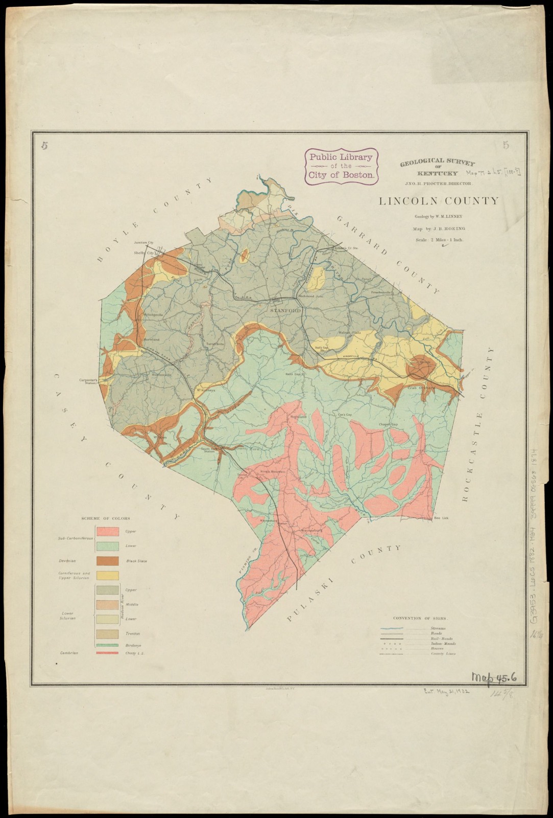
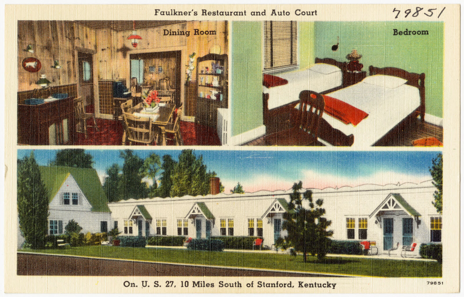
Selected from the Digital Public Library of America's 5 image records catalogued for this county. Every one shown here carries a public-domain status or a licence that permits reuse on a site that carries advertising; non-commercial, share-alike and restricted images are excluded. The selection is spread across the county's towns (at most eight per town), so no single institution's bulk upload crowds out the rest. Each opens the holding library's record, and the complete set at the Digital Public Library of America is one click away.

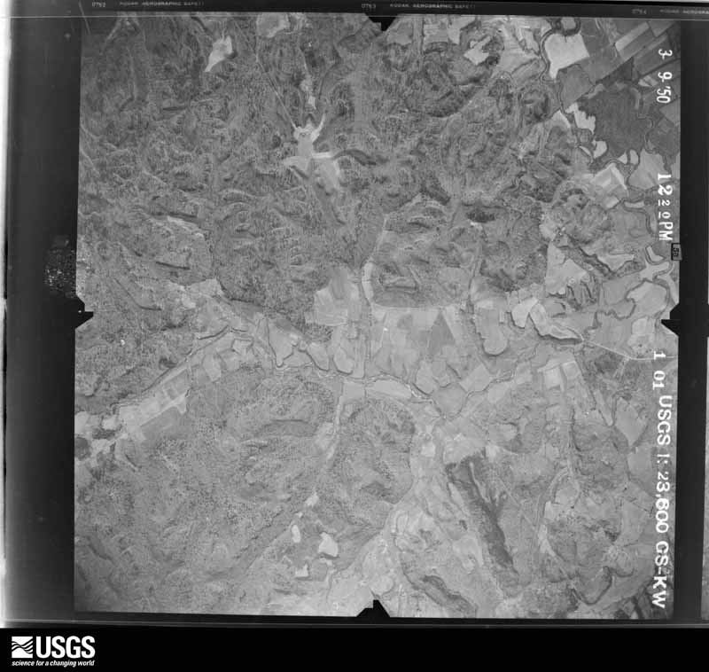
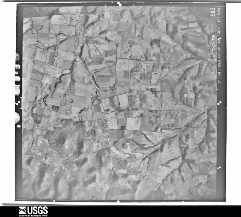
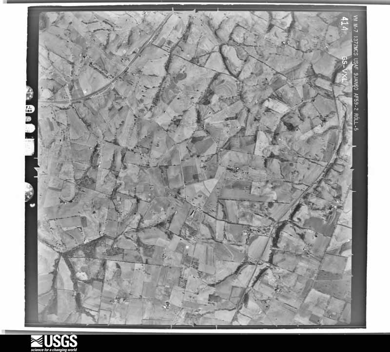
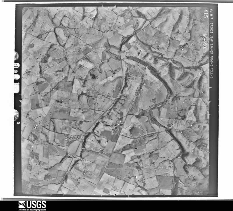
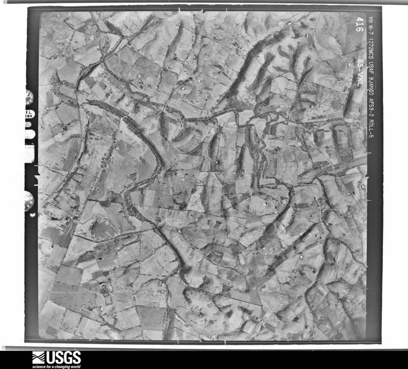
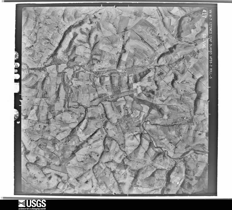
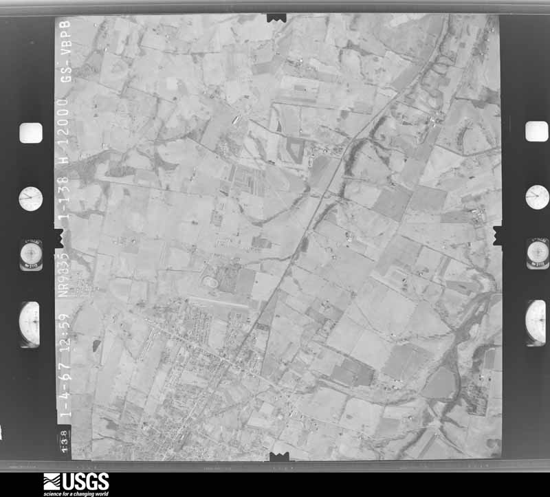
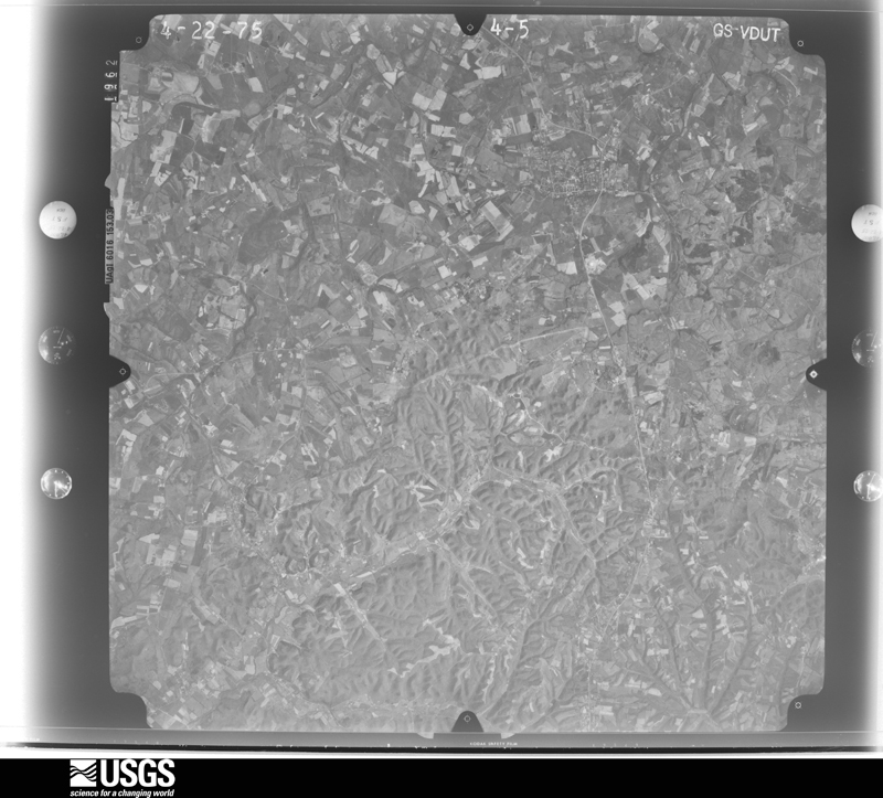
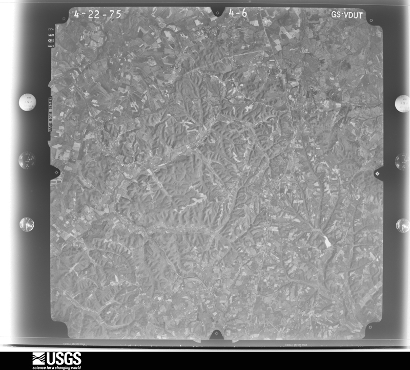
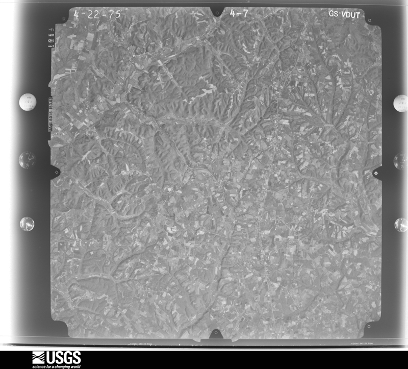
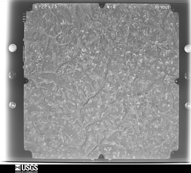
Flown by the U.S. Geological Survey between 1937 and 1989, the Aerial Photo Single Frames collection is the definitive mid-century view of the land: fields, roads and rivers as the camera saw them. The Survey holds 542 frames inside the rectangle that bounds this county; the 17 frames below were taken over the county itself, chosen across the decades of flights (at most four a year from that rectangle), so one flight cannot crowd out the rest. The full set is free to browse and download at EarthExplorer under the dataset Aerial Photo Single Frames.






The thermometers that kept this county's weather, and the gages that measured the flow of its streams, as the federal records hold them. The extremes below are measured values from those records, not estimates.
Who lived here in 1950, one enumeration district at a time, as the Census Bureau described each district. Each row opens its official National Archives result, with Population Schedules and ED Maps available there.
Every wildfire the federal occurrence database records inside this county: 140 of them, burning about 1,790 acres. None started naturally and 22 were recorded as arson. Each settlement page carries the fires within five miles of it.
| Reported cause | Fires |
|---|---|
| Debris and open burning | 54 |
| Missing data/not specified/undetermined | 41 |
| Arson/incendiarism | 22 |
| Recreation and ceremony | 14 |
| Railroad operations and maintenance | 6 |
| Equipment and vehicle use | 2 |
| Smoking | 1 |
The five largest, by the area the report gives. Two of them were set deliberately.
| Date | Cause | Size | Reported by | Name on the report |
|---|---|---|---|---|
| 1 March 2001 | Railroad operations and maintenance | 238 acres | Kentucky Division of Forestry | not named |
| 10 March 2002 | Debris and open burning | 110 acres | Kentucky Division of Forestry | not named |
| 12 November 2005 | Missing data/not specified/undetermined | 100 acres | Kentucky Division of Forestry | ROWE FIRE |
| 29 February 2004 | Missing data/not specified/undetermined | 75 acres | Kentucky Division of Forestry | not named |
| 26 June 2012 | Railroad operations and maintenance | 75 acres | Kentucky Division of Forestry | RANGE FIRE |
| 2 November 2000 | Arson/incendiarism | 68 acres | Kentucky Division of Forestry | not named |
| 15 April 2010 | Debris and open burning | 50 acres | Kentucky Division of Forestry | not named |
| 10 March 2001 | Arson/incendiarism | 50 acres | Kentucky Division of Forestry | not named |
Every settlement page carries the fires within five miles of it - see the settlement index below.
The NOAA Storm Events Database holds 207 reports for this county, causing 1 death, 75 injuries and about $4,538,750 in recorded property damage. Each settlement page carries the reports that name it.
| Kind of event | Reports |
|---|---|
| Thunderstorm Wind | 134 |
| Hail | 30 |
| Flash Flood | 29 |
| Tornado | 12 |
| Heavy Rain | 1 |
| Flood | 1 |
The most serious of them, by death, then injury, then recorded damage. The accounts are quoted exactly as the forecast office filed them.
| When | Event | Place named | Harm | What the report says |
|---|---|---|---|---|
| May 2010 | Flash Flood | Stanford | 1 killed, $30,000 | Heavy rains caused flash flooding of the Hanging Fork River on KY 300 near Stanford. One person died when a van with multiple passengers was swept off the road into the river. The driver of the van exited the vehicle and climbed onto the roof. He then lost his grip and fell into the rushing water. M47VE. |
| April 1974 | Tornado (F3) | not stated | 65 hurt | no account filed |
| April 1996 | Tornado (F2) | Mc Kinney | 7 hurt, $1,500,000 | no account filed |
| January 2006 | Tornado (F2) | Mc Kinney | 2 hurt, $350,000 | no account filed |
| May 2004 | Thunderstorm Wind | Kings Mtn | 1 hurt, $150,000 | Several homes and barns were damaged. The major portion of the roof was blown off one of the homes. One barn was completely destroyed, and some farm equipment inside was damaged or destroyed. |
| July 1994 | Thunderstorm Wind | Waynesburg | $500,000 | A 20 x 40 shed was destroyed and the roofs of two homes were blown off. |
| July 1996 | Flash Flood | Countywide | $500,000 | no account filed |
| June 2018 | Flash Flood | Chicken Bristle | $300,000 | The emergency manager reported that flood waters were at least 6 feet deep, and that oil was leaking into the Green River. There was road and building damage at State Road 78 west of Stanford, State Road 2141, and State Road 1194 west of Stanford. To the south of Junction City at Mount Salem Road a trailer park was flooded. Al Schuler Road was washed out. |
| April 2002 | Thunderstorm Wind | Waynesburg | $200,000 | Roofs were blown off houses. Barns were destroyed. Vehicles were damaged by flying debris. A 45 inch diameter tree was pulled out of the ground. |
| August 2016 | Thunderstorm Wind | Hustonville | $100,000 | The Lincoln County emergency manager reported that a barn was blown down on Mt. Salem Road due to severe thunderstorm winds. There was also roof damage to multiple other barns in the area. Two metal silos overturned and damaged. |
| February 2011 | Tornado (EF1) | Stanford | $100,000 | An NWS storm survey confirmed an EF-1 tornado with maximum wind speeds of 100 mph touched down about a mile southwest of Stanford. It traveled southeast damaging the middle school complex on Highway 27 about a mile south of Stanford. The tornado continued to damage large barns and out buildings as well as snap trees until it lifted about 2.1 miles northwest of Crab Orchard. |
| April 2009 | Tornado (EF1) | Waynesburg | $100,000 | The tornado began in Pulaski County in the Jackson, KY County Warning Area giving a total path length of 6.9 miles. Damage to homes, barns, mobile homes and trees were observed. A rating of EF1 was assigned by NWS Louisville survey teams with wind speeds of 100 to 110 mph and a 100 yard wide path width. Near the end of the tornado's lifespan multiple vorticies were witnessed just before dissipation. This was when the tornado did its greatest damage, moving a conventional home more than ten feet off it's foundation and destroying an unoccupied mobile home. |
| July 2006 | Flash Flood | Countywide | $100,000 | High water was reported in the Broughtontown, McKinney, Waynesburg, and Crab Orchard areas. A spotter in Crab Orchard reported 3.25 inches of rain over a 24 hour period ending at 215 PM EST, with an inch of that falling between 1 PM and 215 PM. Water was in five homes in the Broughtontown School Road area. Some residents had to be rescued from their homes. |
| August 1999 | Tornado (F0) | Crab Orchard | $70,000 | A tornado touched down briefly, rendering a trailer unsalvageable. The roof of the trailer was blown 200 feet. |
| April 2020 | Thunderstorm Wind | Turkeytown | $50,000 | A porch and part of a roof was torn off of a home. An outbuilding was flattened, and a cattle trailer was overturned. Fifteen to twenty trees were downed along a quarter mile stretch of Edwards Road. Winds were estimated at 90 to 95 mph by a NWS remote survey. |
| June 2018 | Flash Flood | Milledgeville | $50,000 | Several people were evacuated from homes near the 2141 Spur due to Harris Creek overflowing its banks. |
| September 2018 | Thunderstorm Wind | Grab Orchard | $50,000 | One large tree blew down on a house. |
| August 1999 | Thunderstorm Wind | Crab Orchard | $50,000 | Numerous trees and power lines down |
| May 1995 | Hail | not stated | $50,000 | Golf ball-size hail damages three cars. |
| April 2020 | Thunderstorm Wind | Turkeytown | $30,000 | A roof was torn off of a double-wide mobile home and thrown southeast. The resident stated winds lasted for 2 to 3 minutes. NWS remote survey estimated winds at 90 mph. |
| May 2002 | Flash Flood | Countywide | $25,000 | Five families were evacuated from a trailer park north of Moreland due to high water. Part of Goshen Road in Stanford was under three feet of water. Part of Highway 698 near McKinney was under a foot of water. Small creeks and streams flooded over many parts of the county. |
| June 1985 | Tornado (F0) | not stated | $25,000 | no account filed |
| March 2018 | Thunderstorm Wind | Waynesburg | $20,000 | Local media reported a roof was blown off a barn. |
| October 2013 | Thunderstorm Wind | Waynesburg | $20,000 | Quite a few trees and power lines were downed across Lincoln County. In Waynesburg, a tree fell through the roof of a mobile home. |
| May 2005 | Thunderstorm Wind | Waynesburg | $20,000 | The roof was blown off a home. |
| May 2002 | Hail | Halls Gap | $20,000 | Windows were knocked out of homes. |
| April 2020 | Thunderstorm Wind | Maywood | $15,000 | The northwest side of a home had its roof peeled off. A NWS remote survey estimated winds at 75 mph. |
| July 2016 | Thunderstorm Wind | Waynesburg | $15,000 | Local law enforcement reported a tree down on a car on 220 Ike Singleton Road and several trees down in the Waynesburg area. |
| July 2015 | Thunderstorm Wind | Stanford | $15,000 | The Lincoln County emergency manager reported trees down in the city and that a tin roof was blown off a home due to severe thunderstorm winds. |
| July 2013 | Flash Flood | Turnersville | $10,000 | A vehicle stalled while the driver attempted to drive through up to 4 feet of water covering the road. |
| May 2010 | Flash Flood | Waynesburg | $10,000 | The public reported flooding in Waynesburg with water entering buildings. |
| February 2009 | Thunderstorm Wind | Crab Orchard | $10,000 | A barn was demolished in the Maywood area. |
| May 2002 | Hail | Kings Mtn | $10,000 | no account filed |
| June 1998 | Thunderstorm Wind | Stanford | $10,000 | no account filed |
| May 2016 | Thunderstorm Wind | Halls Gap | $8,000 | The emergency manager reported trees down and power outages due to severe thunderstorm winds. |
| May 2016 | Thunderstorm Wind | Stanford | $6,000 | The emergency manager reported trees and a few power lines down. Also nickel size hail fell. |
| July 2004 | Thunderstorm Wind | Stanford | $5,000 | Trees and power lines were blown down. A tree limb was blown on to a police cruiser. |
| August 1999 | Thunderstorm Wind | Stanford | $5,000 | Trees down. One home was damaged. |
| September 2013 | Thunderstorm Wind | Waynesburg | $3,000 | Several trees were downed by thunderstorm winds, damaging a couple of vehicles. |
| June 1973 | Tornado (F1) | not stated | $2,500 | no account filed |
| January 2018 | Thunderstorm Wind | Waynesburg | $2,000 | Trees fell on a power line on Highway 328 East. |
| April 2006 | Thunderstorm Wind | Stanford | $2,000 | A tree was blown on to a car on Kentucky Highway 3245. |
| April 1989 | Tornado (F0) | not stated | $250 | no account filed |
| April 2026 | Thunderstorm Wind | Jumbo | - | Trees were blocking most of an unknown roadway. |
| March 2026 | Thunderstorm Wind | Chicken Bristle | - | Wind caused roof siding to rip off of a home 2 miles from US Route 127 near Hustonville. |
| May 2025 | Thunderstorm Wind | Blue Lick | - | A tree was blown down along Martins Trail outside of McKinney. |
| May 2025 | Thunderstorm Wind | Walnut Flat | - | A tree was blown down, blocking one lane of Preachersville Road. |
| May 2025 | Thunderstorm Wind | Preachersville | - | A tree was blown down over the 4100 block of Preachersville Road, blocking two lanes. |
| May 2025 | Thunderstorm Wind | Waynesburg | - | A tree was blown down near the 700 block of Clear Fork Road. |
| May 2025 | Thunderstorm Wind | Stanford | - | A tree was blown down onto a house and went through the roof on Spring Valley Drive in Stanford. |
| May 2025 | Thunderstorm Wind | Broughtentown | - | A tree was blown down on Broughtontown Road. |
| May 2025 | Thunderstorm Wind | Preachersville | - | Multiple trees were blown down along Kentucky Route 39 in eastern Lincoln county and southwestern Garrard County. |
| May 2025 | Thunderstorm Wind | Broughtentown | - | A tree was blown down at the intersection of Kentucky Route 643 and Kentucky Route 1781. |
| May 2025 | Thunderstorm Wind | Stanford | - | Power lines were blown down along the 300 block of Anderson Heights in Stanford. |
| May 2025 | Thunderstorm Wind | Preachersville | - | A tree was blown down along Harmons Lick Road near the 3200 block. |
| May 2025 | Thunderstorm Wind | Crab Orchard | - | A tree was blown down on Old Fall Lick Road. |
| June 2025 | Thunderstorm Wind | Stanford | - | Power lines were downed near the intersection of Danville Avenue and Lee Drive in Stanford. |
| April 2025 | Thunderstorm Wind | Mc Kinney | - | A large tree fell on a house on Kentucky 198, north of McKinney. |
| April 2025 | Tornado (EF1) | Rowland | - | A storm damage team surveyed EF1 tornado damage with a max wind speed around 95 mph and a max width of 90 yards in Lincoln and Garrard Counties. The tornado touched down near the intersection of US Highway 27 South and KY Highway 698, where it collapsed a barn and topped some softwood trees. The tornado then continued|south of Rowland where some more trees were topped.||Downstream the tornado uprooted some trees near Stingy Creek Road. The tornado then continued to the Lincoln/Garrard County line in the Preachersville community. |
| April 2025 | Thunderstorm Wind | Mc Kinney | - | A roof was blown off a mobile home on Baugh Street. |
The Survey's mineral resources record lists 4 workings inside this county. None of them still produces: all are closed or unrecorded. Each settlement page carries the workings within five miles of it.
| Commodity | Workings |
|---|---|
| Fire Clay (Refractory) | 3 |
| Clay | 1 |
The least common of them first, because a county's hundredth gravel pit says nothing its first ten did not.
| Where | Site | Commodity | Status | Recorded |
|---|---|---|---|---|
| Arabia Roadcut | Clay | Prospect | ||
| Eastside Roadcut Clay Bed | Fire Clay (Refractory) | Prospect | ||
| Roadcut Clay Bed | Fire Clay (Refractory) | Prospect | ||
| Westside Roadcut Clay Bed | Fire Clay (Refractory) | Prospect |
Named settlements recorded in the Geographic Names Information System, each with the topographic sheets covering it. Villages, hamlets and abandoned places alike. Each is shown with the nearest named watercourse or landform and the survey quadrangle it falls on. The 1 place that was also surveyed for fire insurance comes first, with the number of atlases and photographs held for them.
Stanford census division · 40484 · On Saint Asaph Creek · Stanford quadrangle
13 sheets, 1905 to 1991
Fire insurance: 8 atlases
Crab Orchard census division · 40484 · Crab Orchard quadrangle
7 sheets, 1952 to 1982
No longer a settlement
Crab Orchard census division · 40419 · Near Harness Ridge · Crab Orchard quadrangle
7 sheets, 1952 to 1982
Waynesburg census division · 40489 · On Fenny Branch · Crab Orchard quadrangle
7 sheets, 1952 to 1982
No longer a settlement
Crab Orchard census division · 40484 · Near Collier Knob · Crab Orchard quadrangle
7 sheets, 1952 to 1982
No longer a settlement
Crab Orchard census division · 40419 · Crab Orchard quadrangle
7 sheets, 1952 to 1982
No longer a settlement
Waynesburg census division · 40489 · On Chestnut Ridge · Woodstock quadrangle
7 sheets, 1952 to 1982
No longer a settlement
Hustonville census division · 40484 · On McKinney Branch · Hustonville quadrangle
8 sheets, 1952 to 1982
Crab Orchard census division · 40484 · Near Sportsmans Hill · Crab Orchard quadrangle
7 sheets, 1952 to 1982
No longer a settlement
Crab Orchard census division · 40419 · On Flax Creek · Crab Orchard quadrangle
7 sheets, 1952 to 1982
Waynesburg census division · 40489 · On Jacks Branch Caney Creek · Eubank quadrangle
8 sheets, 1952 to 1982
No longer a settlement
Crab Orchard census division · 40409 · On Harness Branch · Crab Orchard quadrangle
7 sheets, 1952 to 1982
Waynesburg census division · 42567 · On Pilot Creek · Eubank quadrangle
8 sheets, 1952 to 1982
No longer a settlement
Crab Orchard census division · 40419 · Crab Orchard quadrangle
7 sheets, 1952 to 1982
No longer a settlement
Crab Orchard census division · 40419 · On Fall Lick · Brodhead quadrangle
12 sheets, 1893 to 1982
No longer a settlement
Hustonville census division · 40437 · Near Boneyard Hollow · Halls Gap quadrangle
8 sheets, 1952 to 1982
Crab Orchard census division · 40419 · On Copper Creek · Brodhead quadrangle
12 sheets, 1893 to 1982
No longer a settlement
Stanford census division · 40444 · On Turkey Creek · Lancaster quadrangle
12 sheets, 1905 to 1991
Stanford census division · 40484 · On Turkey Creek · Lancaster quadrangle
12 sheets, 1905 to 1991
Waynesburg census division · 40489 · Near Kings Knob · Eubank quadrangle
8 sheets, 1952 to 1982
No longer a settlement
Hustonville census division · 40484 · Junction City quadrangle
11 sheets, 1905 to 1991
No longer a settlement
Waynesburg census division · 40484 · Near Greasy Ridge · Halls Gap quadrangle
8 sheets, 1952 to 1982
Crab Orchard census division · 40409 · Near Millers Knob · Brodhead quadrangle
12 sheets, 1893 to 1982
No longer a settlement
Stanford census division · 40484 · On Hawkins Branch · Stanford quadrangle
13 sheets, 1905 to 1991
Hustonville census division · 40437 · On Baughman Creek · Hustonville quadrangle
8 sheets, 1952 to 1982
Waynesburg census division · 40484 · On McGills Creek · Halls Gap quadrangle
8 sheets, 1952 to 1982
Waynesburg census division · 40442 · Near Kings Knob · Eubank quadrangle
8 sheets, 1952 to 1982
Stanford census division · 40484 · On Logan Creek · Stanford quadrangle
13 sheets, 1905 to 1991
Hustonville census division · 40484 · Near Pleasant Hill · Stanford quadrangle
13 sheets, 1905 to 1991
No longer a settlement
Hustonville census division · 40437 · By McKinney Bluff · Hustonville quadrangle
8 sheets, 1952 to 1982
Hustonville census division · 40484 · Junction City quadrangle
11 sheets, 1905 to 1991
Stanford census division · 40484 · On Saint Asaph Creek · Stanford quadrangle
13 sheets, 1905 to 1991
Hustonville census division · 40437 · Near Grider Knob · Hustonville quadrangle
8 sheets, 1952 to 1982
Stanford census division · 40484 · On Gilberts Creek · Lancaster quadrangle
12 sheets, 1905 to 1991
No longer a settlement
Hustonville census division · 40437 · On Big Moccasin Creek · Hustonville quadrangle
8 sheets, 1952 to 1982
Crab Orchard census division · 40419 · Near Bowling Ridge · Crab Orchard quadrangle
7 sheets, 1952 to 1982
No longer a settlement
Crab Orchard census division · 40484 · Crab Orchard quadrangle
7 sheets, 1952 to 1982
No longer a settlement
Waynesburg census division · 40442 · Halls Gap quadrangle
8 sheets, 1952 to 1982
No longer a settlement
Waynesburg census division · 40442 · On Sims Branch · Eubank quadrangle
8 sheets, 1952 to 1982
No longer a settlement
Stanford census division · 40484 · Near Needmore Hill · Stanford quadrangle
13 sheets, 1905 to 1991
Crab Orchard census division · 40419 · Near Muncie Knob · Woodstock quadrangle
7 sheets, 1952 to 1982
No longer a settlement
Crab Orchard census division · 40419 · Near Harness Ridge · Woodstock quadrangle
7 sheets, 1952 to 1982
No longer a settlement
Waynesburg census division · 40437 · On Sims Creek · Halls Gap quadrangle
8 sheets, 1952 to 1982
Crab Orchard census division · 40484 · Near Sportsmans Hill · Crab Orchard quadrangle
7 sheets, 1952 to 1982
Crab Orchard census division · 40409 · On Harness Branch · Brodhead quadrangle
12 sheets, 1893 to 1982
No longer a settlement
Waynesburg census division · 40442 · Near Kings Knob · Halls Gap quadrangle
8 sheets, 1952 to 1982
No longer a settlement
Crab Orchard census division · 40419 · Near Millers Knob · Brodhead quadrangle
12 sheets, 1893 to 1982
Stanford census division · 40484 · On Hanging Fork · Halls Gap quadrangle
8 sheets, 1952 to 1982
Waynesburg census division · 40489 · Eubank quadrangle
8 sheets, 1952 to 1982
No longer a settlement
Waynesburg census division · 40489 · On Sims Branch · Eubank quadrangle
8 sheets, 1952 to 1982
Stanford census division · 40484 · Near Sugarloaf · Stanford quadrangle
13 sheets, 1905 to 1991
No longer a settlement
Waynesburg census division · 40489 · On Butt Branch · Woodstock quadrangle
7 sheets, 1952 to 1982
No longer a settlement
Hustonville census division · 40437 · Near Peck Hollow · Halls Gap quadrangle
8 sheets, 1952 to 1982
No longer a settlement
The vanished settlements of Lincoln County: the places named above that are no longer on the map.
13 topographic sheets and 8 fire insurance atlases, 1886 to 1939
The complete index, with nothing left out. Each of these is a separate record with its own page: a federal survey report, or the case file that argued a property on to the National Register. Both are public domain and reproduced word for word.
The vanished settlements of Lincoln County, the places these records name that are no longer on the map.