 Block
From the record
13 National Register listings published here, 1 of them a National Historic Landmark.
Sources: the National Register database, National Park Service
40 topographic sheets and 8 fire insurance atlases across 1 place.
13 National Register listings published here, 1 of them a National Historic Landmark.
Sources: the National Register database, National Park Service
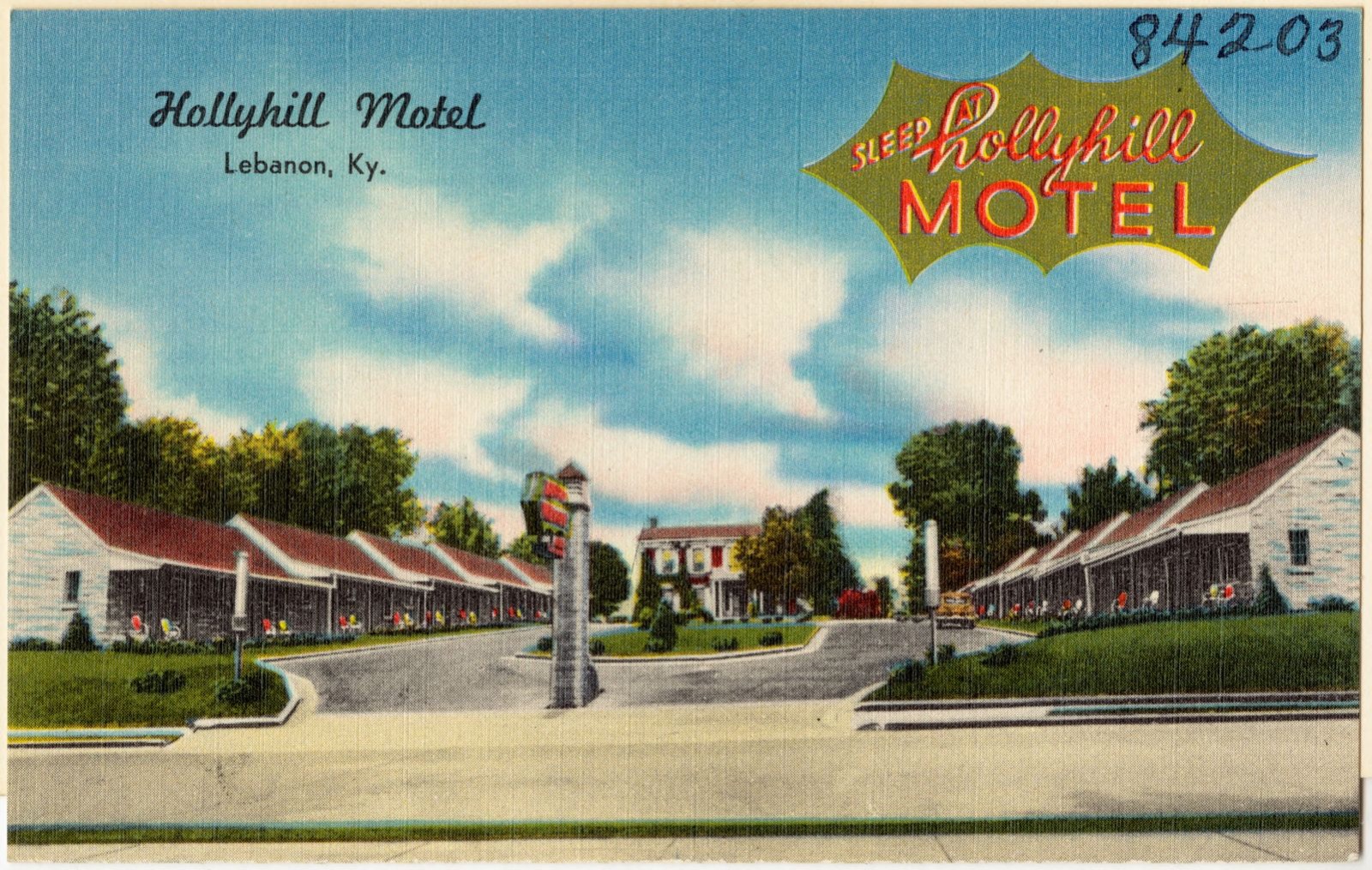
Taken for the Office of War Information and the Farm Security Administration, who photographed the country between 1935 and 1944. Works of United States government photographers, with no known restriction on use. Each opens its catalogue record.
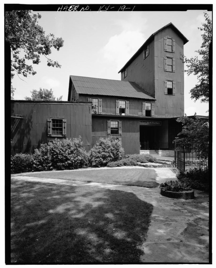
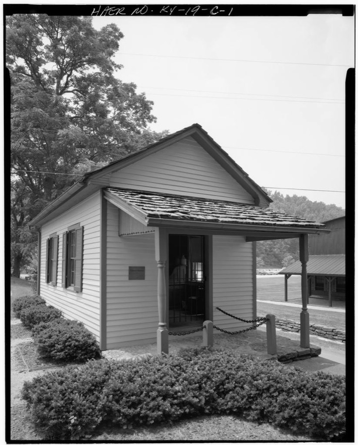
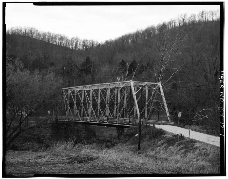
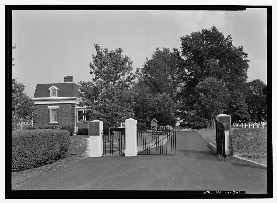
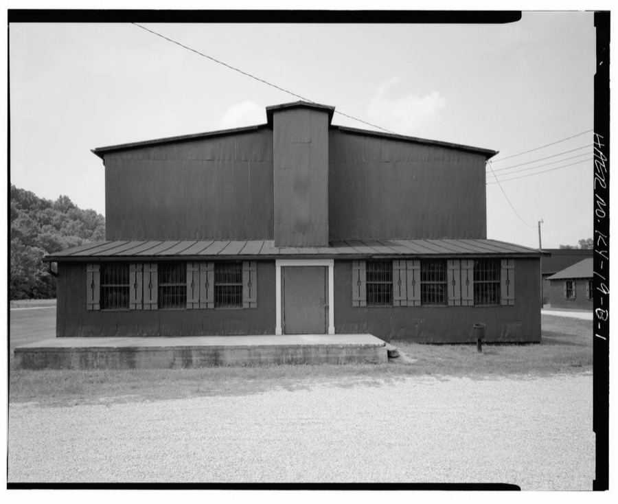
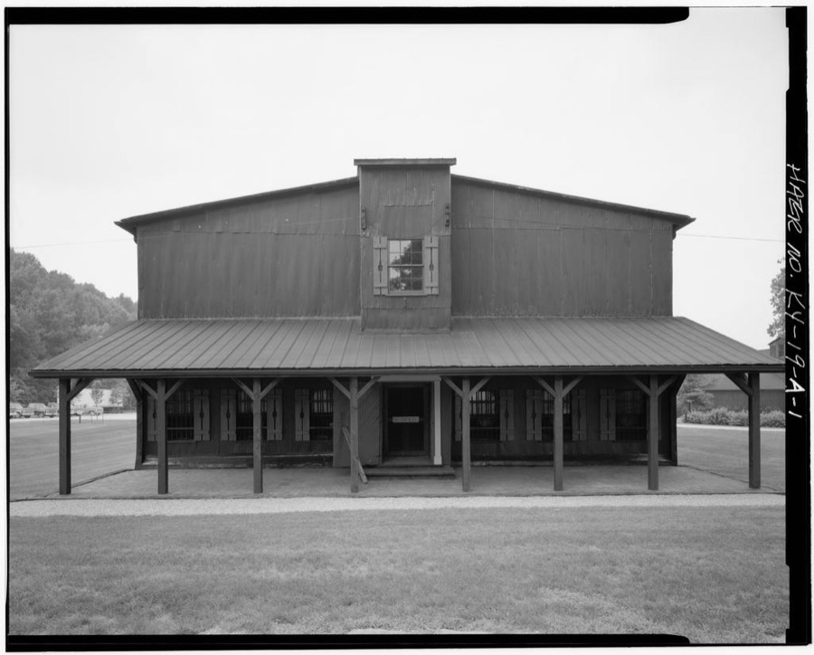
Every property in this county listed on the National Register of Historic Places, with the year it was listed and the federal nomination document.
| Photograph | Property | Type | Listed | Reference |
|---|---|---|---|---|
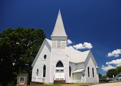 | Bradfordsville Christian Church | building | 2010 | 09001141 |
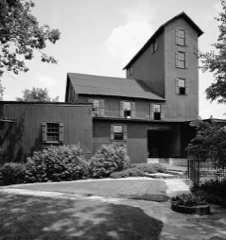 | Burks' Distillery | district | 1974 | 74000893 |
| Gravel Switch Historic District | district | 2014 | 12001201 | |
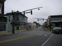 | Lebanon Historic Commercial District | district | 1987 | 87000857 |
 | Lebanon Junior High School and Lebanon High School | building | 2000 | 00000270 |
| Lebanon National Cemetery | site | 1975 | 75000801 | |
| Loretto Historic District | district | 2014 | 12001202 | |
| Loretto Motherhouse | district | 1980 | 80001653 | |
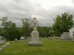 | Capt. Andrew Offutt Monument | object | 1997 | 97000680 |
| Clel Purdom House | building | 2016 | 16000009 | |
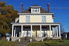 | Leonard A. Spalding House | building | 1991 | 91000367 |
| St. Joseph Church | building | 2010 | 09001142 | |
| St. Mary's College Historic District | district | 1980 | 80001654 |
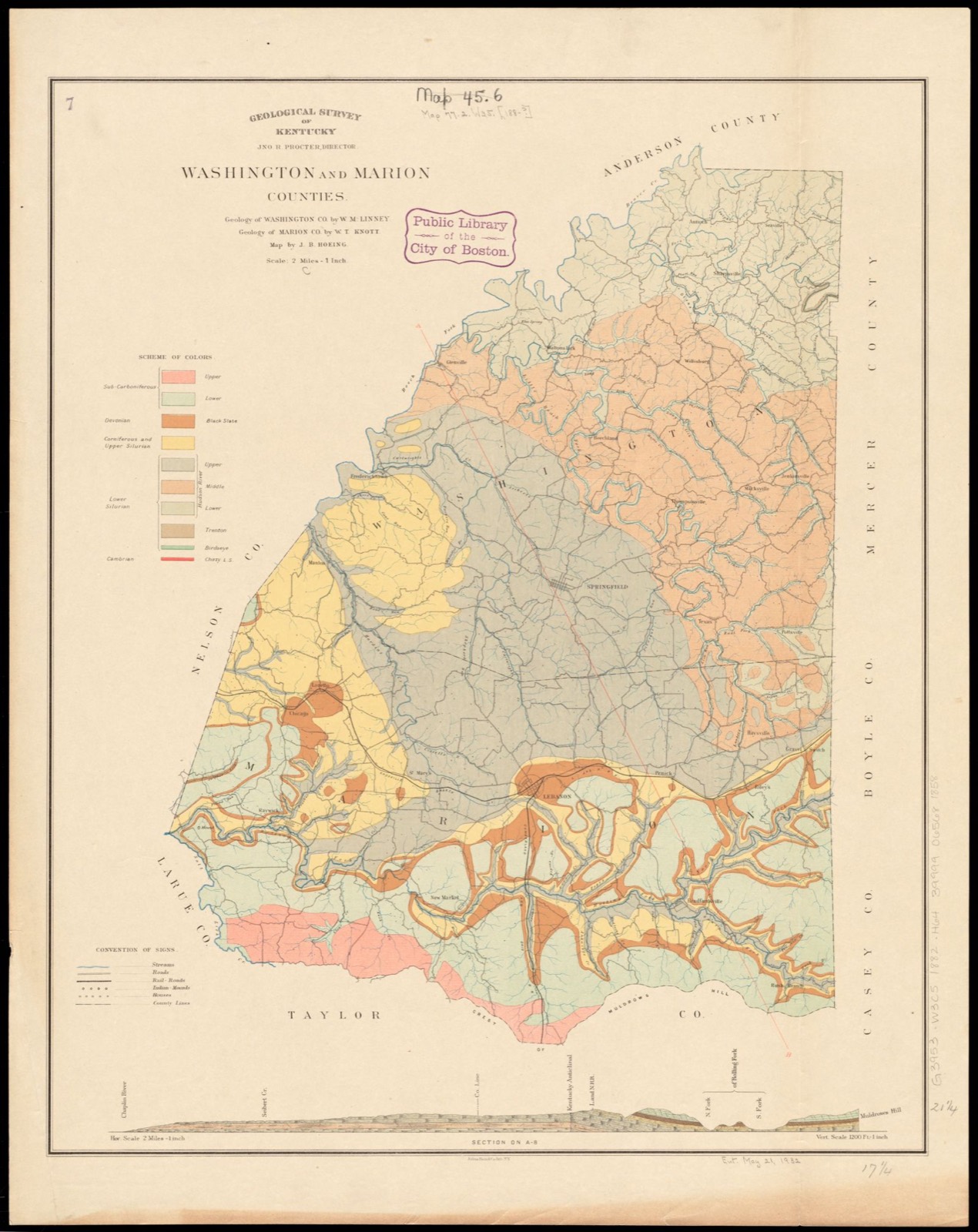
Drawn when these were printed as single large sheets: the town seen from the air, and the county divided into its farms with every owner named. Each opens the original at the Library of Congress.
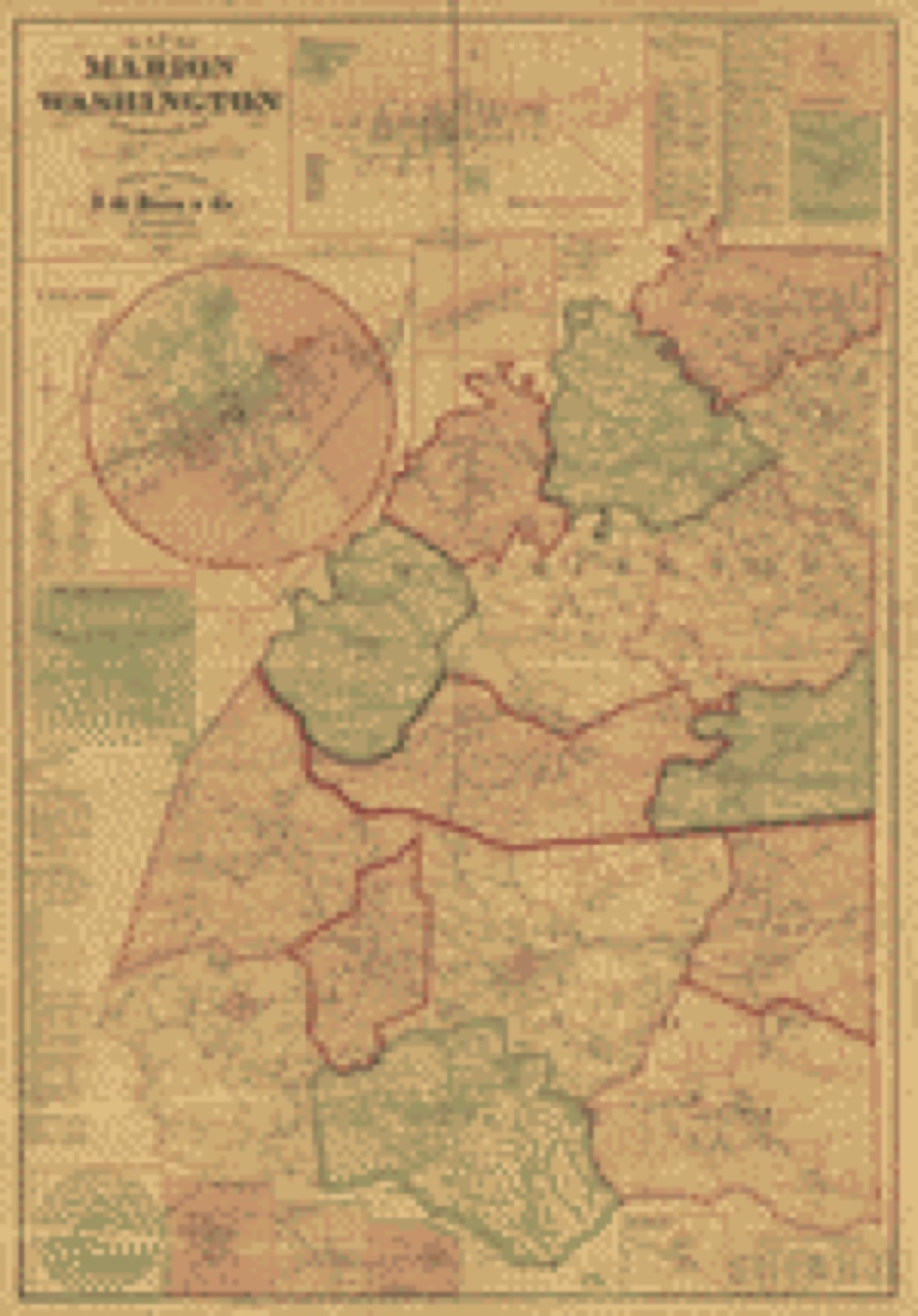
Selected from the Digital Public Library of America's 2 image records catalogued for this county. Every one shown here carries a public-domain status or a licence that permits reuse on a site that carries advertising; non-commercial, share-alike and restricted images are excluded. The selection is spread across the county's towns (at most eight per town), so no single institution's bulk upload crowds out the rest. Each opens the holding library's record, and the complete set at the Digital Public Library of America is one click away.
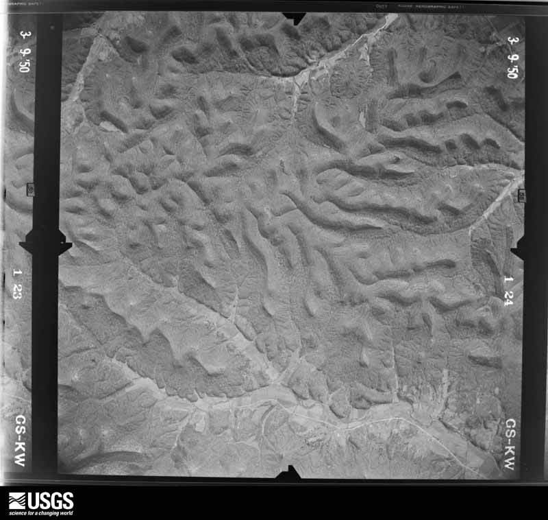
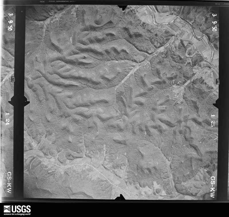
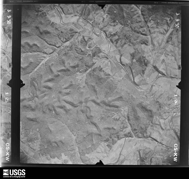
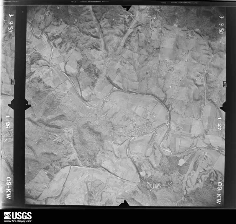
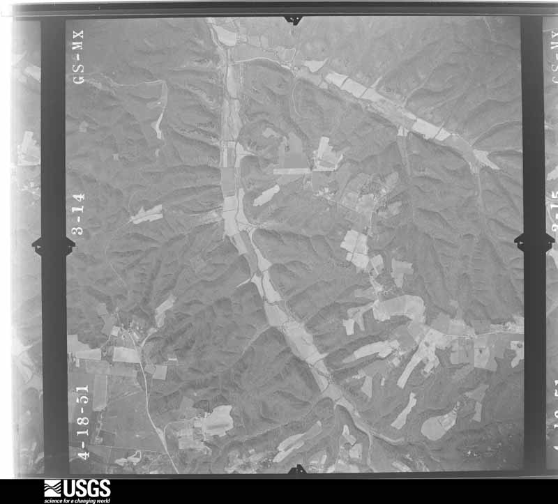
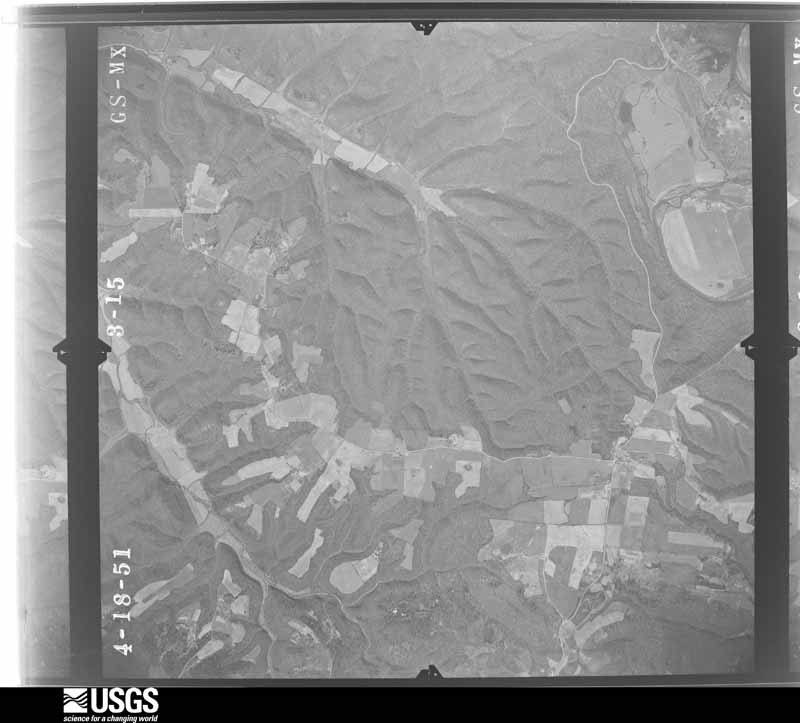
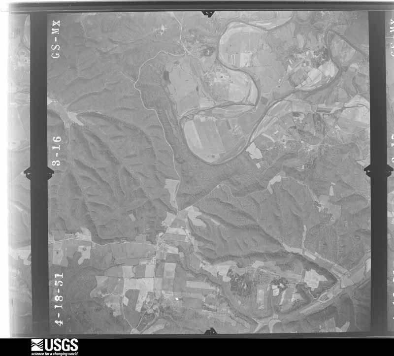
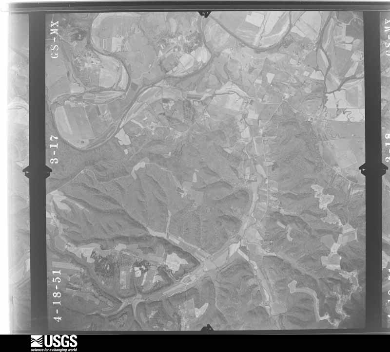
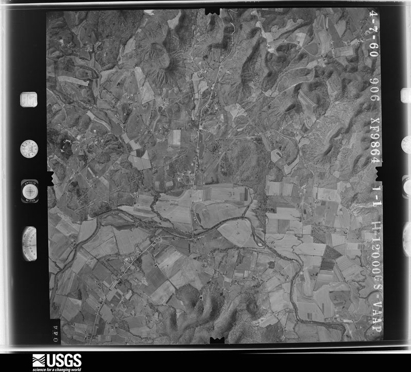
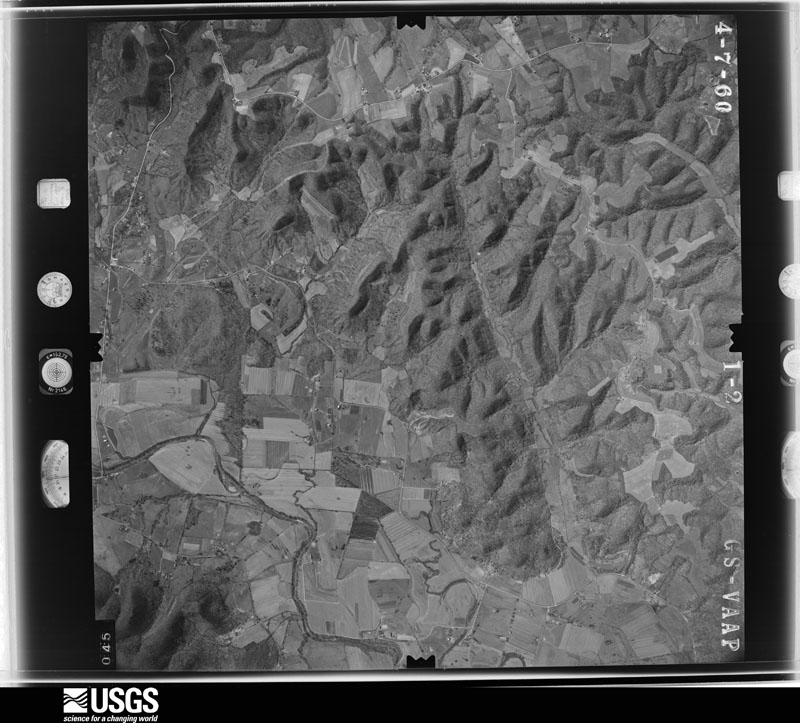
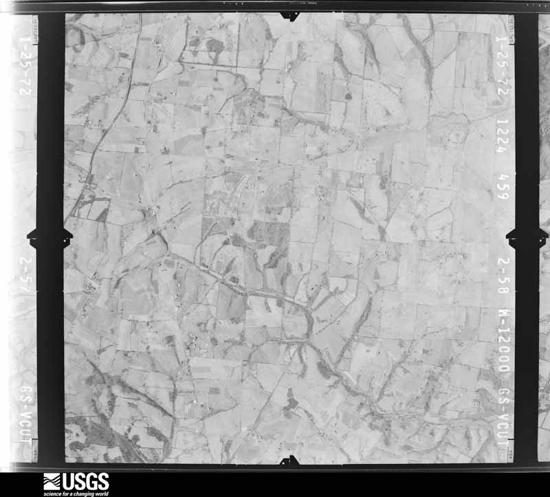
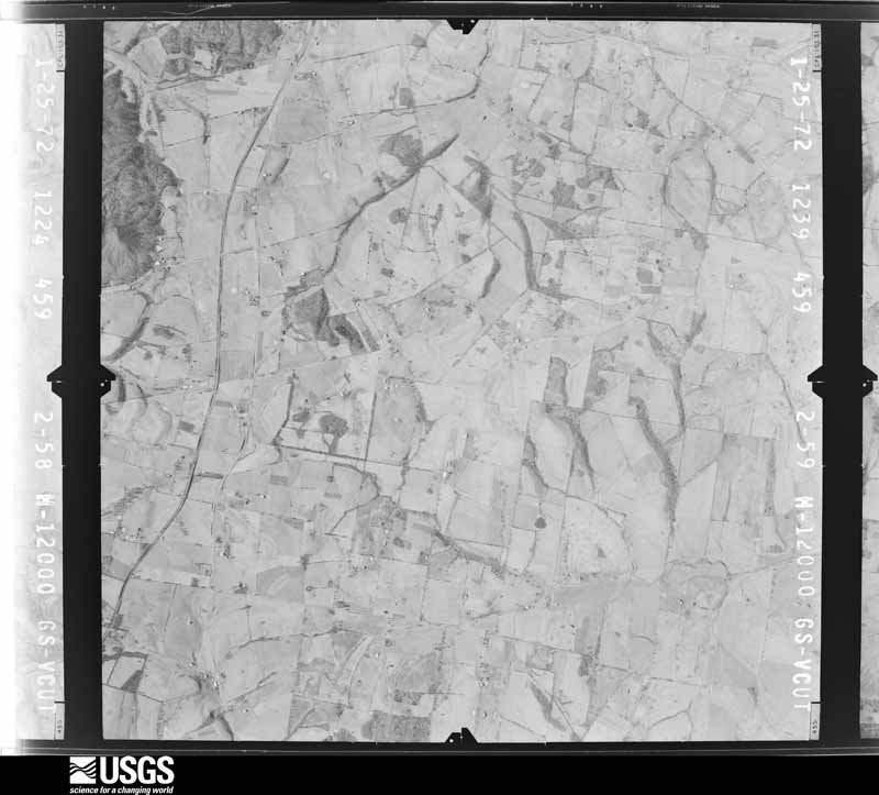
Flown by the U.S. Geological Survey between 1937 and 1989, the Aerial Photo Single Frames collection is the definitive mid-century view of the land: fields, roads and rivers as the camera saw them. The Survey holds 427 frames inside the rectangle that bounds this county; the 16 frames below were taken over the county itself, chosen across the decades of flights (at most four a year from that rectangle), so one flight cannot crowd out the rest. The full set is free to browse and download at EarthExplorer under the dataset Aerial Photo Single Frames.
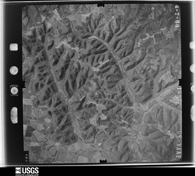
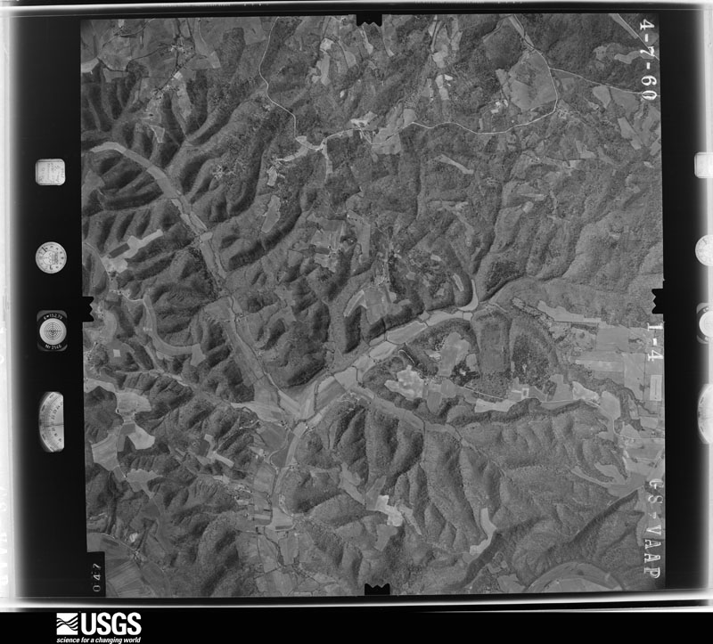
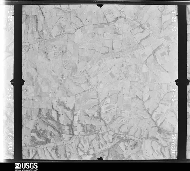
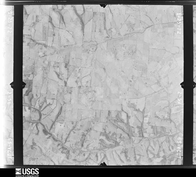
The thermometers that kept this county's weather, and the gages that measured the flow of its streams, as the federal records hold them. The extremes below are measured values from those records, not estimates.
Who lived here in 1950, one enumeration district at a time, as the Census Bureau described each district. Each row opens its official National Archives result, with Population Schedules and ED Maps available there.
Every wildfire the federal occurrence database records inside this county: 75 of them, burning about 1,063 acres. None started naturally and 16 were recorded as arson. Each settlement page carries the fires within five miles of it.
| Reported cause | Fires |
|---|---|
| Debris and open burning | 26 |
| Missing data/not specified/undetermined | 22 |
| Arson/incendiarism | 16 |
| Recreation and ceremony | 7 |
| Equipment and vehicle use | 2 |
| Smoking | 1 |
| Railroad operations and maintenance | 1 |
The five largest, by the area the report gives. None of them was recorded as arson.
| Date | Cause | Size | Reported by | Name on the report |
|---|---|---|---|---|
| 29 February 2004 | Missing data/not specified/undetermined | 100 acres | Kentucky Division of Forestry | not named |
| 20 November 2020 | Debris and open burning | 90 acres | Kentucky Division of Forestry | HAPPY TRAIL LANE |
| 16 March 2003 | Missing data/not specified/undetermined | 80 acres | Kentucky Division of Forestry | not named |
| 24 March 2017 | Missing data/not specified/undetermined | 60 acres | Kentucky Division of Forestry | DUNN FIRE |
| 2 March 2006 | Missing data/not specified/undetermined | 50 acres | Kentucky Division of Forestry | not named |
| 25 February 2002 | Debris and open burning | 40 acres | Kentucky Division of Forestry | not named |
| 11 December 2016 | Debris and open burning | 40 acres | Kentucky Division of Forestry | LIVERS |
| 27 February 2012 | Debris and open burning | 39 acres | Kentucky Division of Forestry | SULPHER LI |
Every settlement page carries the fires within five miles of it - see the settlement index below.
The NOAA Storm Events Database holds 214 reports for this county, causing 1 death, 7 injuries and about $7,105,000 in recorded property damage. Each settlement page carries the reports that name it.
| Kind of event | Reports |
|---|---|
| Thunderstorm Wind | 125 |
| Hail | 38 |
| Flash Flood | 29 |
| Tornado | 12 |
| Flood | 8 |
| Lightning | 1 |
| Debris Flow | 1 |
The most serious of them, by death, then injury, then recorded damage. The accounts are quoted exactly as the forecast office filed them.
| When | Event | Place named | Harm | What the report says |
|---|---|---|---|---|
| February 2023 | Flood | Bradfordsville | 1 killed | A 75-year old male died after his vehicle was swept into the flooded Rolling Fork River near Bradfordsville. |
| May 2002 | Hail | Lebanon | 2 hurt, $30,000 | Two people were struck by hail and taken to the hospital. Hail knocked the windows out of several buildings and at least three police cruisers. |
| January 2013 | Tornado (EF0) | Phillipsburg | 2 hurt, $25,000 | A weak EF-0 tornado with estimated winds of 80 to 85 mph briefly touched down along Calvary Road around 7 miles southwest of Bradfordsville. Although this twister had a path length estimated of only a tenth of a mile, it did destroy a mobile home, injuring two occupants. It also slid a shed off of its foundation. |
| May 1973 | Tornado (F1) | not stated | 2 hurt, $25,000 | no account filed |
| December 2021 | Tornado (EF2) | Jessietown | 1 hurt | This tornado formed approximately 1.7 miles west southwest of Saloma near Chaney Pike Road and tracked northeast for approximately 6.5 miles before exiting Taylor County and into southern Marion County. The tornado in Marion County resulted in EF-1 to EF-2 damage to homes and trees along Finley Ridge Road, Nolley Wood Road, US 68, and New Calvary Road. Toward the end of the tornado track the tornado weakened and the damage became more sporadic. The tornado lifted near Bradfordsville Highway just 2.2 miles west of Bradfordsville. |
| May 1995 | Hail | not stated | $5,000,000 | Hundreds of cars and homes damaged by baseball-size hail. |
| May 1995 | Thunderstorm Wind | not stated | $500,000 | Public reports hundreds of roofs damaged and trees down. |
| August 2018 | Lightning | St Joseph | $250,000 | There was a large house fire caused be lightning. |
| October 1977 | Tornado (F1) | not stated | $250,000 | no account filed |
| June 2017 | Tornado (EF1) | St Francis | $150,000 | This tornado spun up in a broader area of 40-60 mph winds that caused minor tree damage across an area over a mile wide in western Marion County. The tornado touched down on the edge of a large wooded area west of Highway 527 0.4 miles south of St Francis. Moving due east, it snapped the trunks of several large trees, blocking the highway, and mowed down a line of trees along Louis Mattingly Road. It continued to to tree-top damage in a heavily wooded area as it moved east, then tore roof panels off several hog barns on the south end of A. Mills Road. Drone footage of corn near the barns showed multiple streaks of converging winds in an area approximately 100 yards in width. Continuing to east-southeast, the tornado left downed numerous more trees in a cyclonic pattern on both sides of Spencer-Hamilton Road south of Loretto. Strong inflow and outflow winds estimated at 60-80 mph damaged several outbuildings and downed other trees south of the tornado along Spencer-Hamilton Road as the tornado dissipated. The Louisville NWS office thanks John Humphress and Tanner Thompson for the drone imagery that helped pinpoint the path of this rural tornado. |
| October 2007 | Tornado (EF0) | Bradfordsville | $100,000 | The tornado touched down about three quarters of a mile southwest of Bradfordsville near the intersection of Bradfordsville and Thornton Roads. A mobile home was rolled over and two homes suffered shingle damage. An outbuilding also sustained minor damage, and several small trees were downed. From here, the tornado moved east-northeast into Bradfordsville, doing significant tree damage, snapping power poles, and destroying several outbuildings, one of which collapsed onto a speedboat. When the tornado lifted, the parent thunderstorm continued to cause extensive tree damage on the eastern side of Bradfordsville. Structural and tree damage from the tornado was consistent with an EF-0 tornado. |
| November 2003 | Thunderstorm Wind | Lebanon | $100,000 | The sides of a large industrial storage building were blown in. A barn was blown down on Radio Station Road. |
| May 2002 | Hail | St Mary | $100,000 | Hail damaged homes and vehicles. |
| November 2000 | Tornado (F1) | Lebanon | $100,000 | A fairly new barn was blown down. In the vicinity, the roof of a garage was collapsed, and the garage door was wrapped around the back of the car inside. Three mobile homes were damaged and one was demolished. |
| June 2020 | Flash Flood | Riley | $50,000 | There were multiple roads closed due to high water, mainly over the southern half of the county. There were also three vehicle rescues and some homes evacuated. |
| March 2017 | Thunderstorm Wind | Calvary | $50,000 | The Marion County emergency manager reported multiple barns destroyed along with sheet metal lodged in the trees. |
| August 2014 | Flood | Lebanon | $50,000 | The Lebanon police reported water covering main street with some businesses flooded. |
| February 2008 | Thunderstorm Wind | Lebanon | $50,000 | Thunderstorm winds damaged a garage. |
| May 2002 | Thunderstorm Wind | Gravel Switch | $50,000 | Roofs were blown off a barn and a home. |
| November 2018 | Tornado (EF0) | Belltown | $35,000 | This very small tornado touched down on top of an older wooden barn on state highway 289 just south of the intersection with U.S. Highway 68. It flattened the structure, collapsing it to the southeast, while the metal roofing was distributed in a circulating pattern around it - from southeast to northeast to northwest, with the bulk being to the northeast. A 3-legged TV tower next to the adjacent home was crumpled to the north-northeast. Other than mud spattering from the south-southwest on the back corner of the brick one-story home, no other evidence of wind was observed, as no shingles were damaged.||The tornado immediately lifted over the home and nearby trees, then passed over a wooded area and open farmland, setting back down in a subdivision on the west side of New Calvary Road, about a mile east. Several small tree trunks were snapped in the subdivision, but no visible structural damage occurred. The tiny twister then continued to the northeast, causing other minor tree damage to the south of Probus Lane. The last tree damage was observed near a small pond near the end of Probus Lane. Maximum wind speeds were estimated at 80-85 mph. |
| March 1997 | Thunderstorm Wind | New Market | $30,000 | no account filed |
| June 2008 | Thunderstorm Wind | New Market | $25,000 | Barn blown down in St. Joseph. |
| July 2001 | Thunderstorm Wind | Lebanon | $25,000 | A tree was blown on to three cars. |
| April 2018 | Thunderstorm Wind | Bradfordsville | $20,000 | Law enforcement reported 2 power poles down in Bradfordsville. |
| June 2013 | Flash Flood | Lebanon | $20,000 | The Marion County emergency manager reported street flooding on several locations around the county. In Lebanon, up to 2 feet of water flooded several intersections. Water entered several businesses and blocked a few intersections. |
| June 2017 | Thunderstorm Wind | Nurkes Spg | $15,000 | Local law enforcement reported trees on a house on St. Rose Road. |
| June 2020 | Flash Flood | Riley | $10,000 | There was water in one home, and a private bridge to get to other houses was under water on Rush Branch Road. |
| April 2018 | Thunderstorm Wind | Loretto | $10,000 | Law enforcement reported power poles down in the area. |
| June 2017 | Thunderstorm Wind | Bradfordsville | $10,000 | A NWS Storm Survey concluded that a localized microburst caused damage to a small outbuilding and downed 4 hardwood trees. Winds were estimated around 60 mph. |
| May 2006 | Thunderstorm Wind | Loretto | $10,000 | Trees were uprooted. Several metal outbuildings were destroyed. |
| June 2018 | Thunderstorm Wind | Lebanon | $5,000 | Local media reported a tree split and a fence was blown down at a construction site in Lebanon. |
| August 2003 | Flash Flood | Lebanon | $5,000 | Flowing water covered several roads around the county. A vehicle was stranded by water along McElroy Pike. |
| May 2010 | Flash Flood | Raywick | $2,000 | Heavy rainfall caused water to flow over a bridge on St. Francis Highway near Raywick. Debris from the water also blocked the roadway. |
| May 2003 | Thunderstorm Wind | Phillipsburg | $2,000 | Trees were downed and an outbuilding was destroyed. |
| June 2013 | Thunderstorm Wind | Gravel Switch | $1,000 | The Marion County emergency manager reported that the siding was ripped off one side of a residence located around 10 miles east of Lebanon. Several large limbs were also snapped. |
| May 2025 | Thunderstorm Wind | Raywick | - | Wind damage was reported along Hazy Downs Road outside of Raywick. |
| May 2025 | Hail | Lebanon | - | Quarter sized hail was observed in Lebanon. |
| May 2025 | Hail | Lebanon | - | Quarter sized hail was observed in Lebanon. |
| May 2025 | Thunderstorm Wind | Loretto | - | Multiple trees were blown down in the Loretto area. |
| May 2025 | Thunderstorm Wind | Lebanon | - | Multiple trees were blown down in the Lebanon area. One tree which fell went through the roof of a house. |
| May 2025 | Thunderstorm Wind | Gravel Switch | - | Multiple trees were blown down in the Gravel Switch area. |
| June 2025 | Thunderstorm Wind | Calvary | - | A couple trees were blown down along Old Calvary Pike, including one which fell onto a house. |
| April 2025 | Debris Flow | Gravel Switch | - | There was a mudslide near the 7500 block of State Road 337. |
| December 2025 | Thunderstorm Wind | Loretto | - | A 64 mph wind gust was observed at the Marion County Kentucky Mesonet station LRTO. |
| June 2024 | Thunderstorm Wind | Frogtown | - | There were multiple trees and power lines down in Marion County, including along Raywick Road. |
| May 2024 | Thunderstorm Wind | Lebanon | - | Strong winds resulted in sporadic tree and power line damage across Marion County, including a tree down over a road in Lebanon. |
| January 2023 | Thunderstorm Wind | Raywick | - | Trees were blown over in Raywick. |
| April 2023 | Thunderstorm Wind | Gandertown | - | A power line was down near the 2800 block of Reuben Smith Road. |
| July 2023 | Flash Flood | Gandertown | - | Manton Road was closed due to flooding from heavy rainfall. |
| July 2023 | Tornado (EF0) | Penicks | - | Multiple rounds of strong to severe thunderstorms moved through the Marion County area during the afternoon and evening hours on July 18th. A very|brief tornado touched down about 4 miles east of Lebanon, KY near|U.S. 68 just before 7 pm EDT. The storm was moving to the|northeast at 40 mph. There were several trees twisted and snapped|and an older barn was destroyed. Most of the damage was facing to|the east northeast, with some exceptions.||Some of the roof truss from the barn was lofted northeast, but the|board became impaled and was leaning back toward a southwesterly direction. ||A horse trailer weighing over 1000 pounds was moved off the block|about 3 feet towards the northwest. This was the highest rated |part of the tornado at 80 mph.||A section of a tree was snapped and facing back to a |southeasterly direction. ||The resident of the property showed where the tree line was |behind the barns, and the top of the tree line had about a 20-foot|swath cut out of it.||The top of another metal pole barn exhibited evidence of uplift.||Just beyond the second barn was an uprooted hardwood tree at |the end of the tree line. It was facing north northeast. This was |the last damage observed from both ground and aerial drone survey. |
| July 2023 | Thunderstorm Wind | Lebanon | - | Multiple trees were blown down across roads in Lebanon. |
| July 2023 | Flash Flood | Nurkes Spg | - | St. Rose Road was closed due to flooding from heavy rainfall. |
| July 2023 | Flash Flood | Lebanon | - | Springfield Highway (Kentucky Route 55) was closed due to flooding from heavy rainfall. |
| July 2023 | Flash Flood | Nurkes Spg | - | Sam Browning Road was closed due to flooding. |
| July 2023 | Thunderstorm Wind | Lebanon | - | Trees were blown over by strong winds on the north side of Lebanon, including on St. Rose Road and Radio Station Road. There was damage to a barn and the roof of a house on St. Rose Road. |
| May 2023 | Thunderstorm Wind | Penicks | - | A tree was blown down onto a power line on Tatum Lane. |
| February 2022 | Thunderstorm Wind | Lebanon | - | A tree blew down on North Street. |
| January 2022 | Tornado (EF1) | Lebanon | - | A quick EF-1 tornado dropped down across the property of the Kentucky Cooperage, with small whirls rotating around a mainline vortex that likely remained just above the surface.||The first area of narrow damage occurred where an empty trailer got shoved on its side on the southwest side of the property. The corner of a metal building also had some damage. There was little evidence of other damage in that vicinity.||The next damage occurred on a trailer garage just south of the main building. Its roof was peeled off and one side wall collapsed. The roof ended up about 50 yards southeast. Also of note, the plant manager said that mud was splattered on the south wall of the main building here, which mostly was cleaned off by the heavy rain afterward.||Next, a flat metal roof got twisted in several directions as the small vortex with 100 mph winds hit it. The last of the damage occurred in the parking lot across from the northwest side of the property. The southernmost trailer in a north- south line of empty trailers was rotated from its starting position. A nearby garage door also crumpled inward. |
| January 2022 | Thunderstorm Wind | St Mary | - | A large section of roof blew off of a horse barn on Windy Lane. |
| April 2022 | Thunderstorm Wind | Penicks | - | There was a tree on power lines along Mays Chapel Road. |
The Survey's mineral resources record lists 2 workings inside this county. 1 still produces and 1 is closed or unrecorded. Each settlement page carries the workings within five miles of it.
| Commodity | Workings |
|---|---|
| Stone, Crushed/Broken | 1 |
| Clay | 1 |
The least common of them first, because a county's hundredth gravel pit says nothing its first ten did not.
| Where | Site | Commodity | Status | Recorded |
|---|---|---|---|---|
| Rolling Fork Clay Bed | Clay | Prospect | ||
| Ward & Montgomery Quarry | Stone, Crushed/Broken | Producer |
Named settlements recorded in the Geographic Names Information System, each with the topographic sheets covering it. Villages, hamlets and abandoned places alike. Each is shown with the nearest named watercourse or landform and the survey quadrangle it falls on. The 1 place that was also surveyed for fire insurance comes first, with the number of atlases and photographs held for them.
Lebanon census division · 40033 · On Hood Branch · Lebanon West quadrangle
6 sheets, 1953 to 1981
Fire insurance: 8 atlases
Lebanon census division · 40033 · On Fisher Creek · Bradfordsville quadrangle
9 sheets, 1952 to 1986
No longer a settlement
Lebanon census division · 40033 · On Fisher Creek · Bradfordsville quadrangle
9 sheets, 1952 to 1986
No longer a settlement
Lebanon census division · 40069 · Near Rogue Hollow · Springfield quadrangle
9 sheets, 1953 to 1981
No longer a settlement
St. Mary census division · 40033 · On Hickory Camp Run · Saint Catharine quadrangle
7 sheets, 1953 to 1981
No longer a settlement
Bradfordsville census division · 40009 · On North Rolling Fork · Bradfordsville quadrangle
9 sheets, 1952 to 1986
St. Mary census division · 40037 · On Hickory Camp Run · Saint Catharine quadrangle
7 sheets, 1953 to 1981
Lebanon census division · 40033 · On Pontchartrain Creek · Lebanon West quadrangle
6 sheets, 1953 to 1981
Loretto census division · 40037 · On Monick Branch · Loretto quadrangle
8 sheets, 1953 to 1981
No longer a settlement
St. Mary census division · 40033 · Raywick quadrangle
8 sheets, 1953 to 1981
No longer a settlement
St. Mary census division · 40033 · On Cissels Creek · Lebanon West quadrangle
6 sheets, 1953 to 1981
No longer a settlement
Raywick census division · 40060 · On Sullivans Prong · Saloma quadrangle
9 sheets, 1953 to 1986
No longer a settlement
Loretto census division · 40037 · Raywick quadrangle
8 sheets, 1953 to 1981
No longer a settlement
Loretto census division · 40037 · On Coleman Run · Loretto quadrangle
8 sheets, 1953 to 1981
Gravel Switch census division · 40328 · Gravel Switch quadrangle
6 sheets, 1953 to 1981
Lebanon census division · 40033 · On Brewster Branch · Bradfordsville quadrangle
9 sheets, 1952 to 1986
Lebanon census division · 40033 · Lebanon East quadrangle
7 sheets, 1953 to 1981
No longer a settlement
Raywick census division · 40060 · On Pound Run · Howardstown quadrangle
9 sheets, 1953 to 1981
No longer a settlement
Loretto census division · 40037 · Near Rohan Knob · Loretto quadrangle
8 sheets, 1953 to 1981
Raywick census division · 40060 · On Clear Creek · Raywick quadrangle
8 sheets, 1953 to 1981
No longer a settlement
New Market census division · 42718 · On Mussin Branch · Spurlington quadrangle
9 sheets, 1953 to 1986
New Market census division · 42718 · Near Coopers Hollow · Lebanon West quadrangle
6 sheets, 1953 to 1981
No longer a settlement
Gravel Switch census division · 40328 · Mackville quadrangle
7 sheets, 1953 to 1981
No longer a settlement
Gravel Switch census division · 40328 · On Landers Creek · Mackville quadrangle
7 sheets, 1953 to 1981
No longer a settlement
Raywick census division · 40060 · On Pound Run · Raywick quadrangle
8 sheets, 1953 to 1981
No longer a settlement
St. Mary census division · 40033 · Lebanon West quadrangle
6 sheets, 1953 to 1981
No longer a settlement
Bradfordsville census division · 40033 · Near Turkey Knob · Bradfordsville quadrangle
9 sheets, 1952 to 1986
No longer a settlement
St. Mary census division · 40033 · Lebanon West quadrangle
6 sheets, 1953 to 1981
No longer a settlement
New Market census division · 40033 · On Moore Creek · Lebanon West quadrangle
6 sheets, 1953 to 1981
Lebanon census division · 40033 · On Brewster Branch · Bradfordsville quadrangle
9 sheets, 1952 to 1986
Lebanon census division · 40033 · Near Putnam Knob · Lebanon East quadrangle
7 sheets, 1953 to 1981
Lebanon census division · 42718 · Near Dividing Ridge · Spurlington quadrangle
9 sheets, 1953 to 1986
Lebanon census division · 40033 · On Buck Branch · Lebanon East quadrangle
7 sheets, 1953 to 1981
No longer a settlement
Lebanon census division · 40033 · On Buck Branch · Lebanon East quadrangle
7 sheets, 1953 to 1981
Raywick census division · 40060 · On Slate Creek · Raywick quadrangle
8 sheets, 1953 to 1981
New Market census division · 42718 · Spurlington quadrangle
9 sheets, 1953 to 1986
No longer a settlement
Gravel Switch census division · 40328 · On Goose Creek · Gravel Switch quadrangle
6 sheets, 1953 to 1981
Bradfordsville census division · 40009 · On Rush Branch · Bradfordsville NE quadrangle
8 sheets, 1953 to 1986
No longer a settlement
St. Mary census division · 40033 · On Cissels Creek · Lebanon West quadrangle
6 sheets, 1953 to 1981
Loretto census division · 40037 · Near Flag Knob · Loretto quadrangle
8 sheets, 1953 to 1981
Raywick census division · 40060 · On Knob Creek · Raywick quadrangle
8 sheets, 1953 to 1981
St. Mary census division · 40033 · On Cissels Creek · Lebanon West quadrangle
6 sheets, 1953 to 1981
St. Mary census division · 40033 · Saint Catharine quadrangle
7 sheets, 1953 to 1981
No longer a settlement
Lebanon census division · 40033 · Lebanon East quadrangle
7 sheets, 1953 to 1981
No longer a settlement
Lebanon census division · 40033 · Lebanon East quadrangle
7 sheets, 1953 to 1981
No longer a settlement
St. Mary census division · 40033 · Lebanon West quadrangle
6 sheets, 1953 to 1981
No longer a settlement
Loretto census division · 40052 · Raywick quadrangle
8 sheets, 1953 to 1981
No longer a settlement
Bradfordsville census division · 40009 · Near Round Knob · Bradfordsville NE quadrangle
8 sheets, 1953 to 1986
No longer a settlement
The vanished settlements of Marion County: the places named above that are no longer on the map.
6 topographic sheets and 8 fire insurance atlases, 1886 to 1939
The complete index, with nothing left out. Each of these is a separate record with its own page: a federal survey report, or the case file that argued a property on to the National Register. Both are public domain and reproduced word for word.
The vanished settlements of Marion County, the places these records name that are no longer on the map.