 Block
From the record
43 National Register listings published here.
Sources: the National Register database, National Park Service
42 topographic sheets and 8 fire insurance atlases across 1 place.
43 National Register listings published here.
Sources: the National Register database, National Park Service
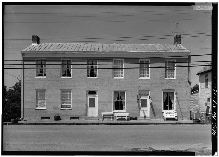
Taken for the Office of War Information and the Farm Security Administration, who photographed the country between 1935 and 1944. Works of United States government photographers, with no known restriction on use. Each opens its catalogue record.
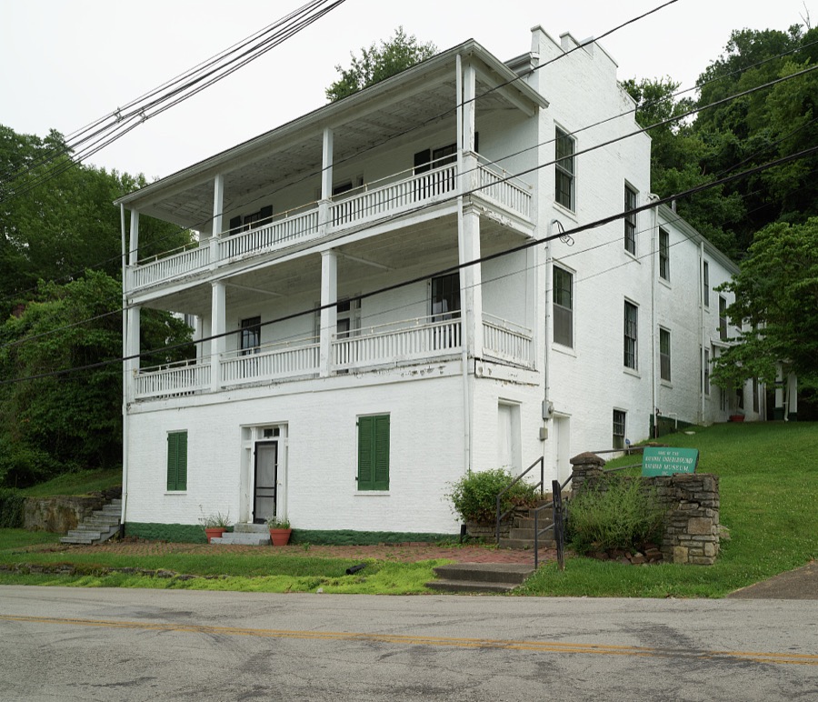
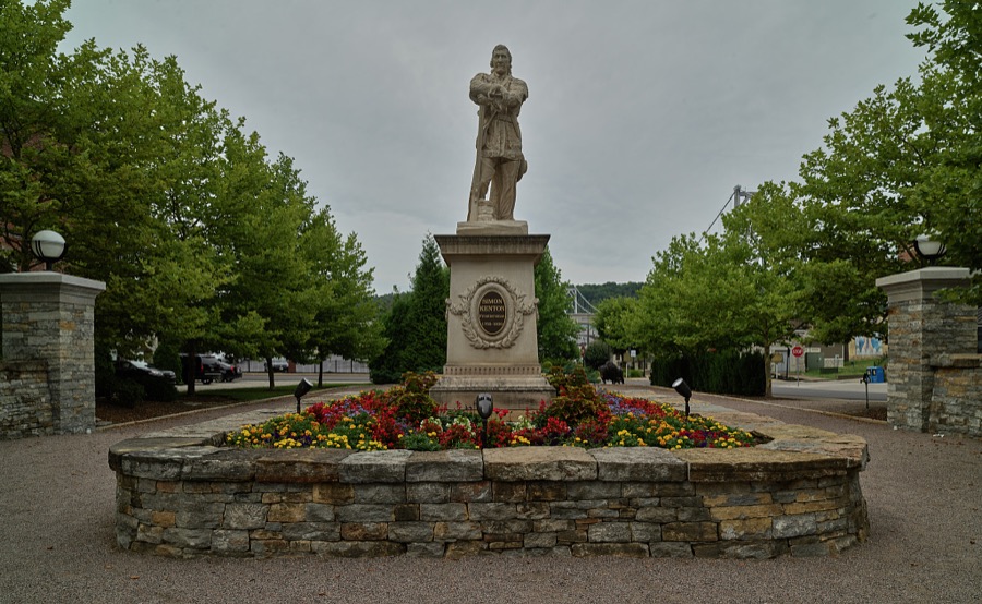

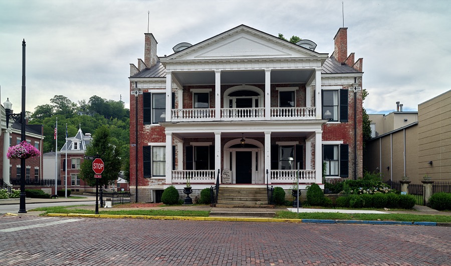
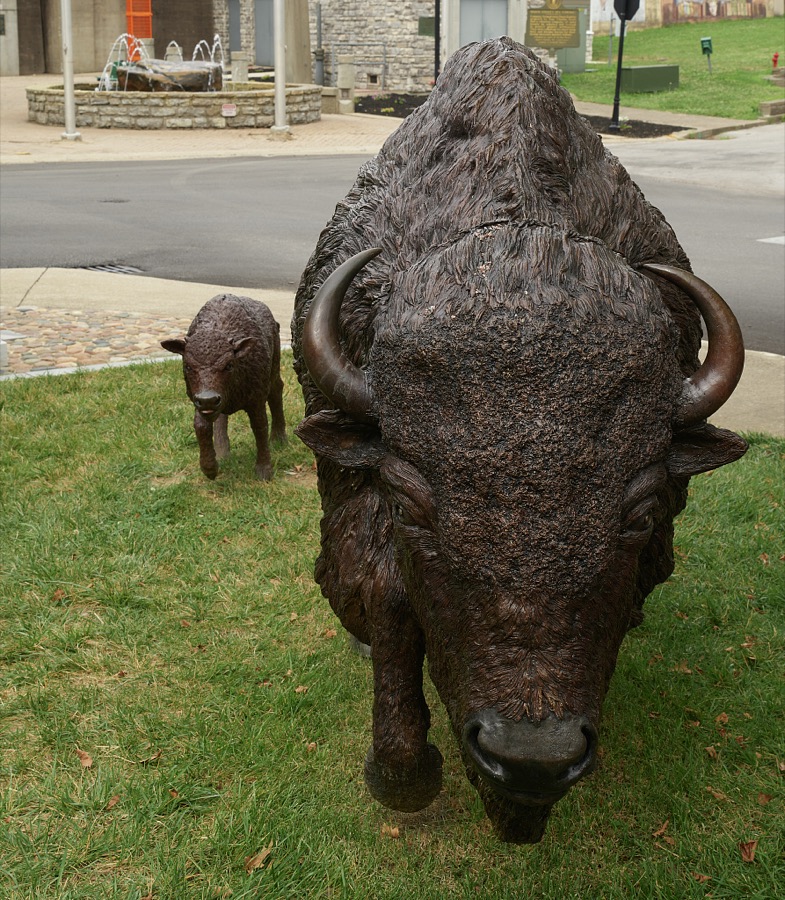
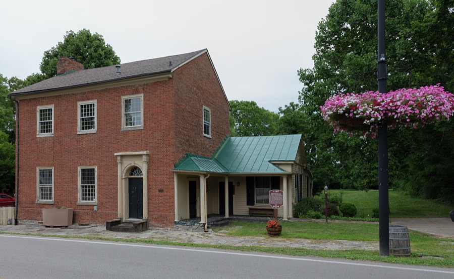

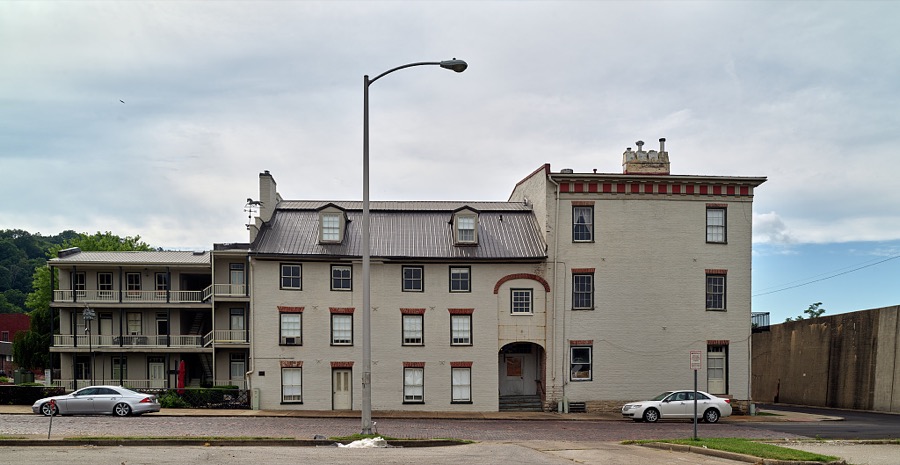
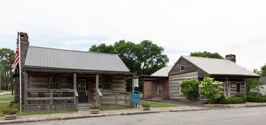
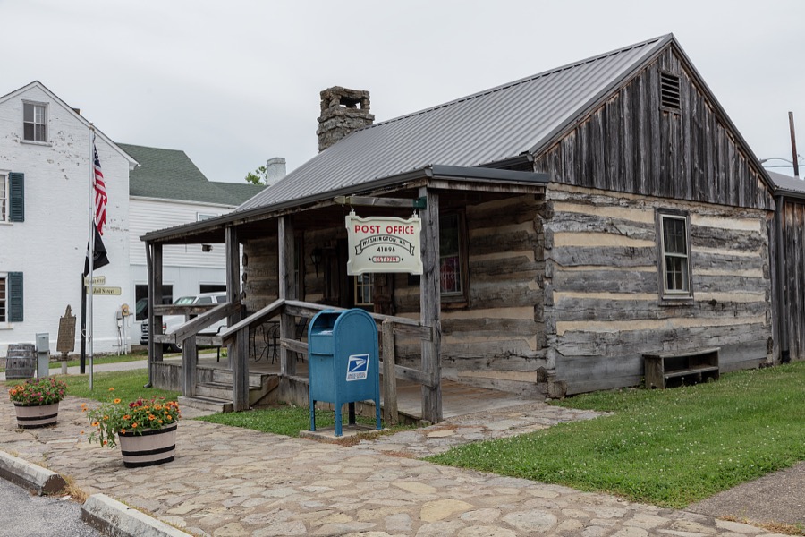

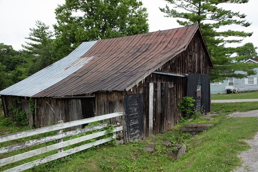
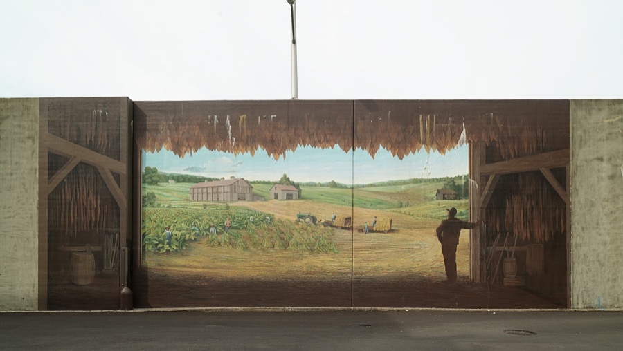


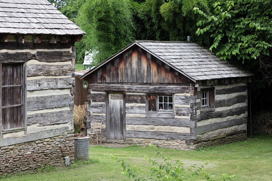

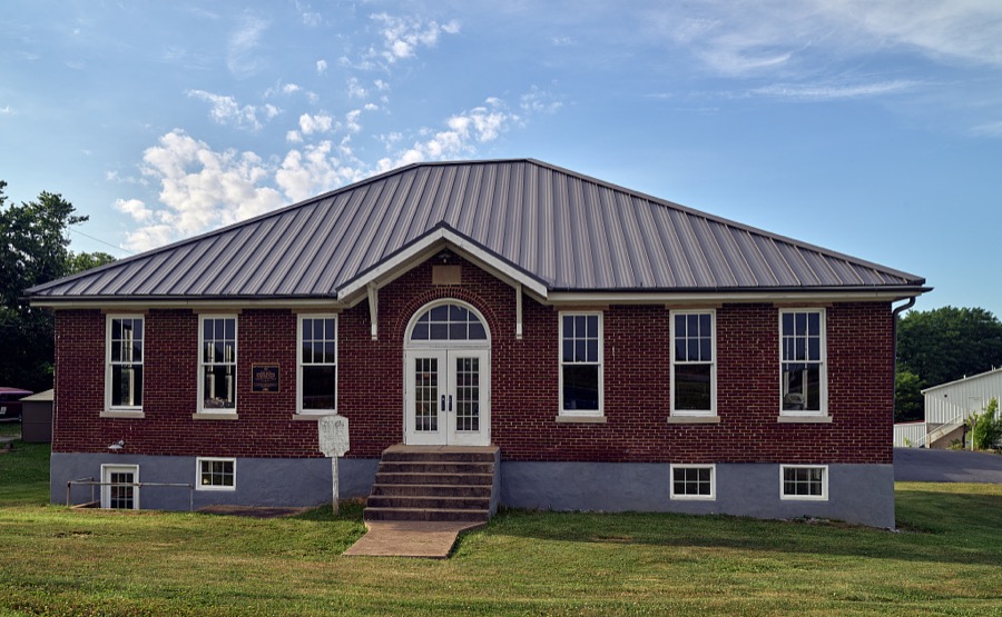
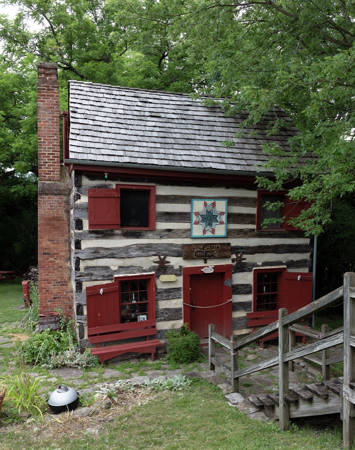


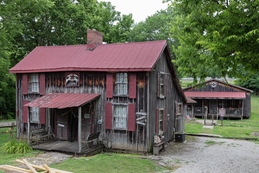

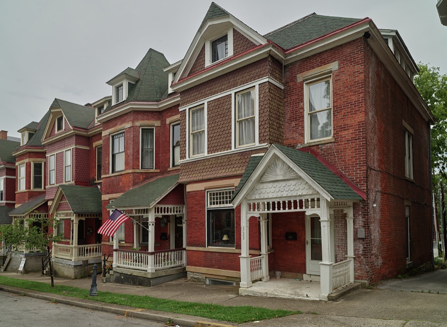

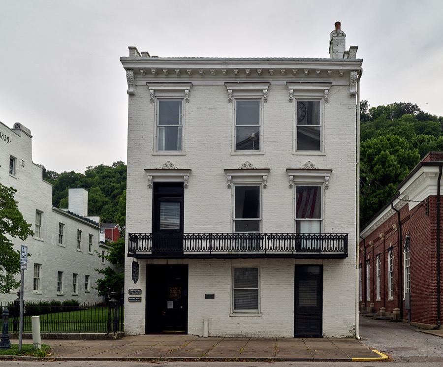
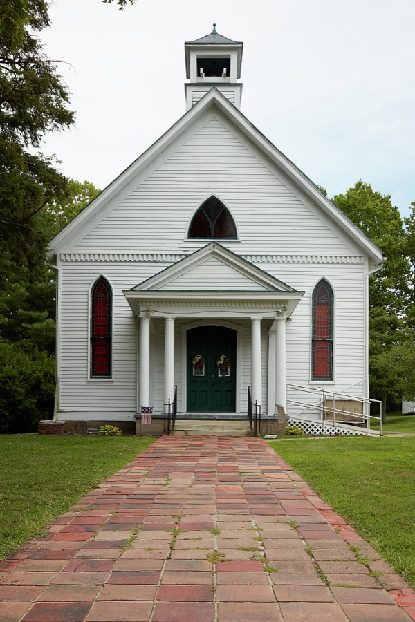
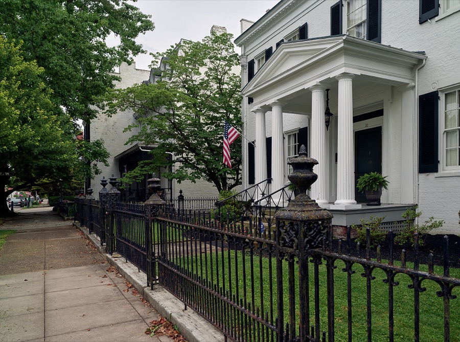
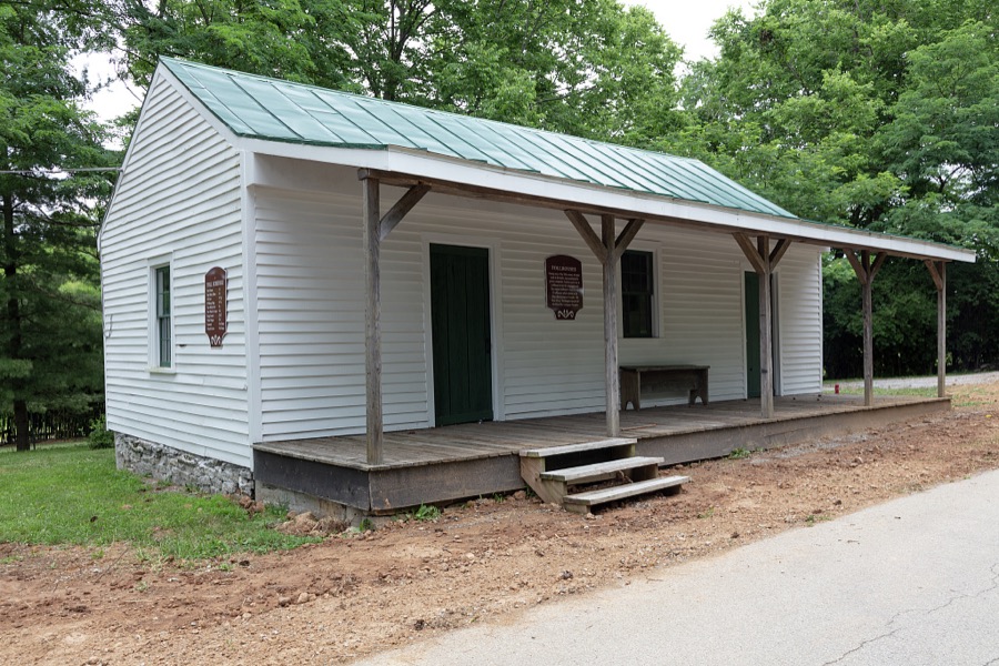
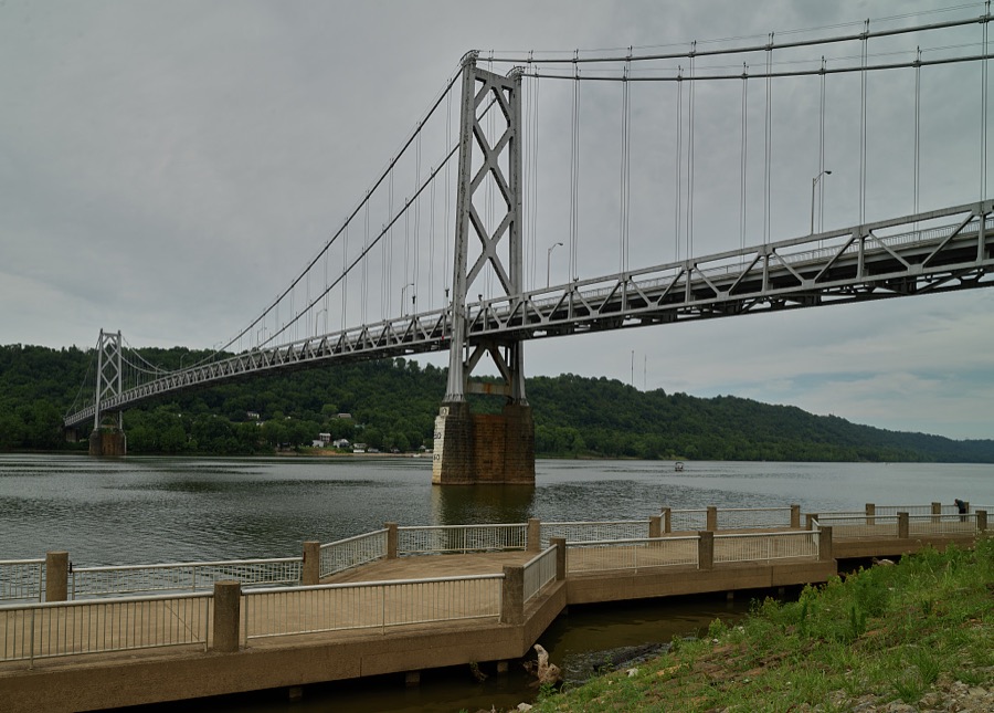
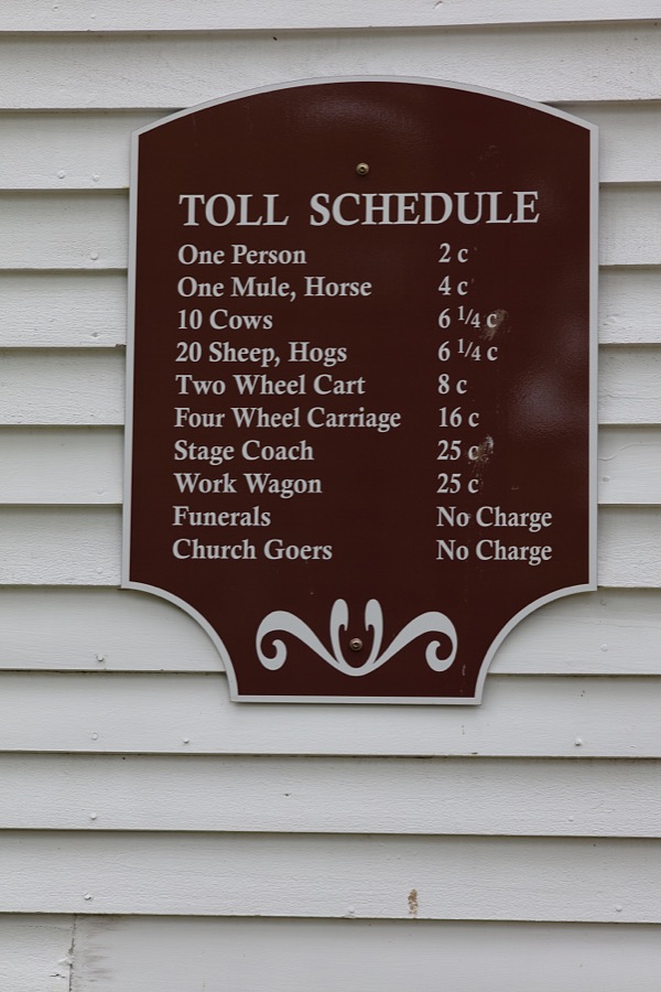

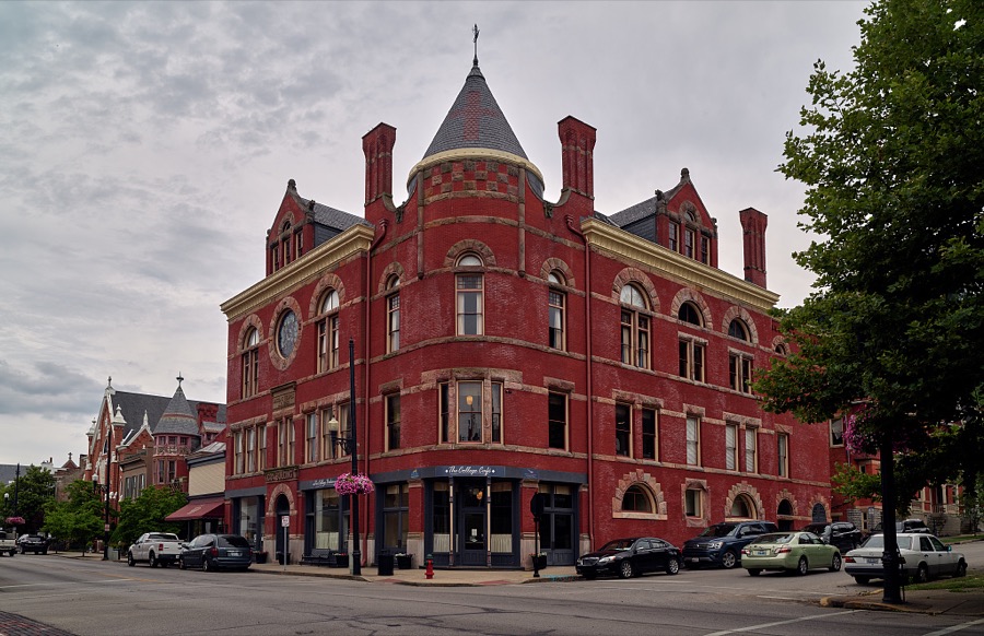
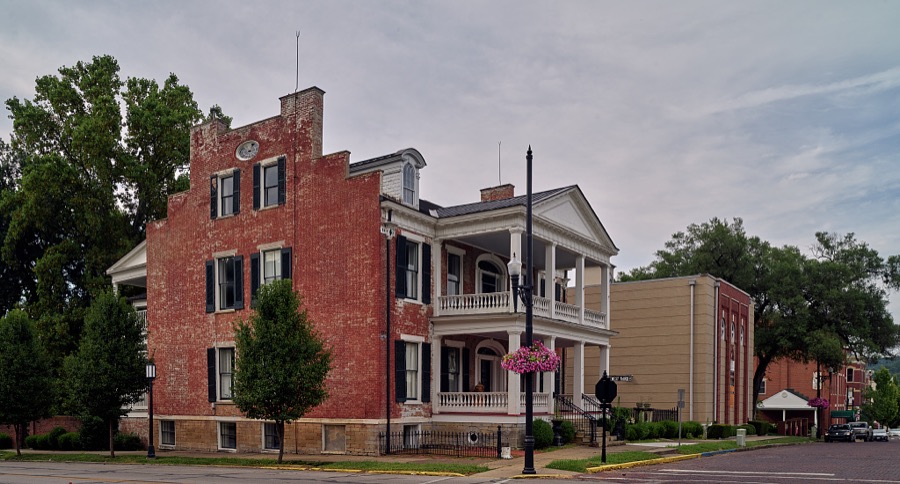
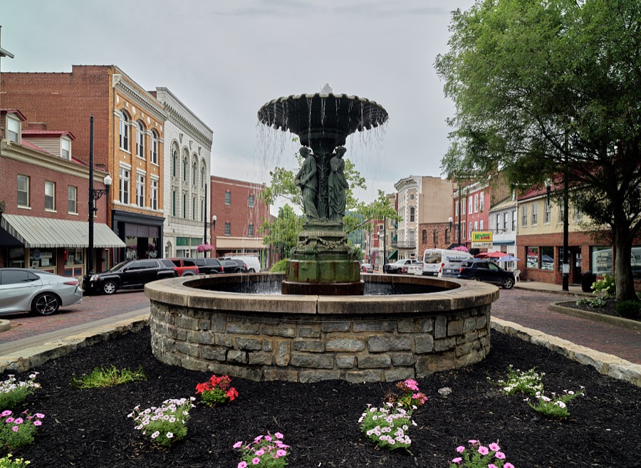

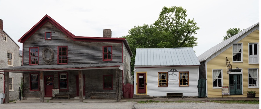
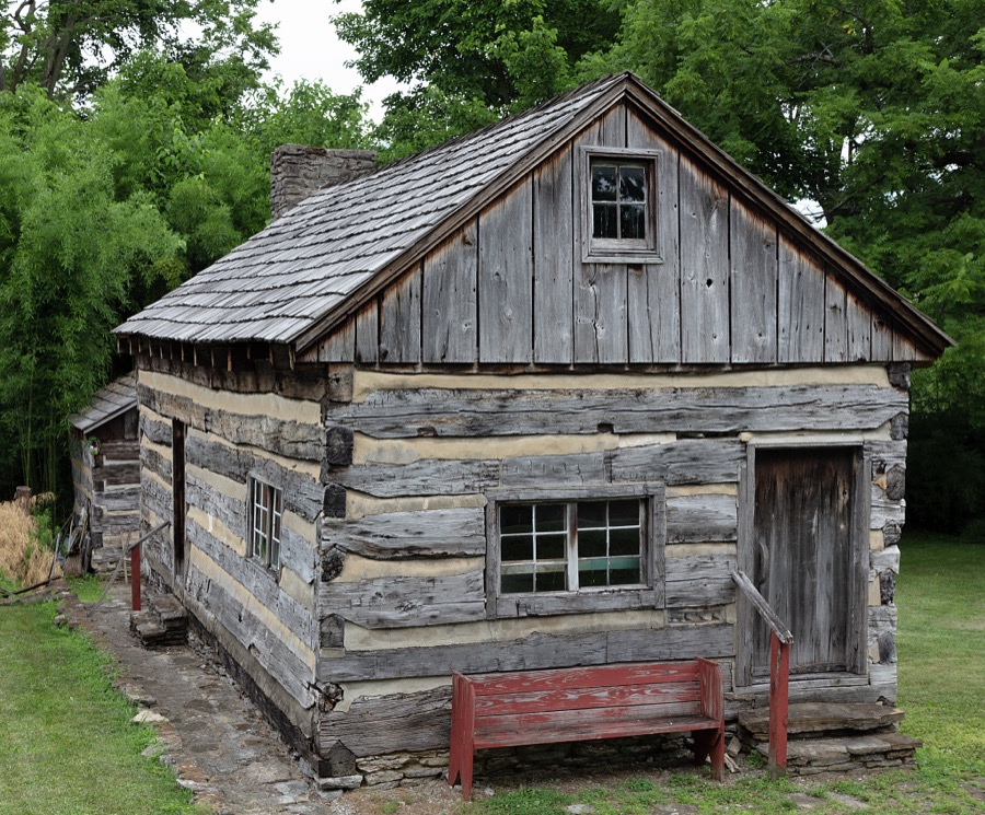
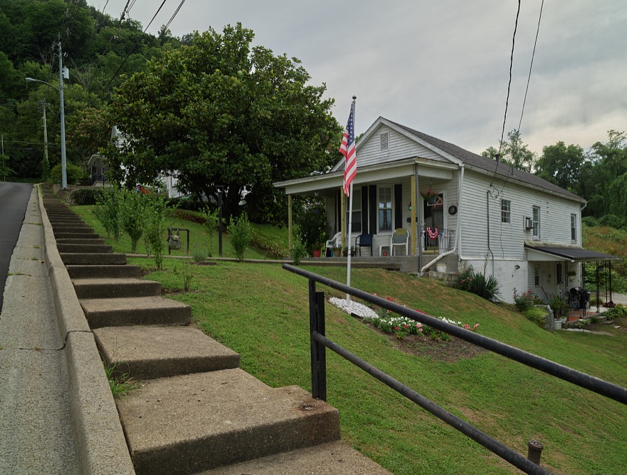
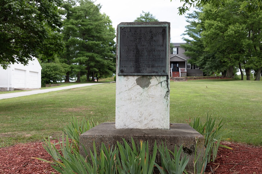
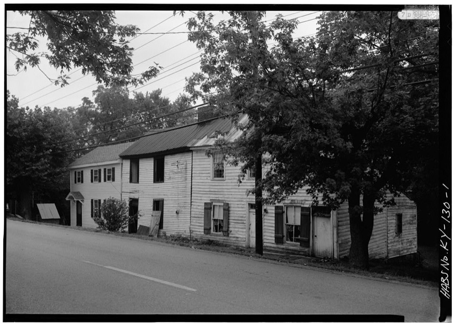
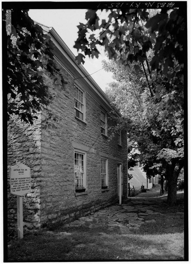
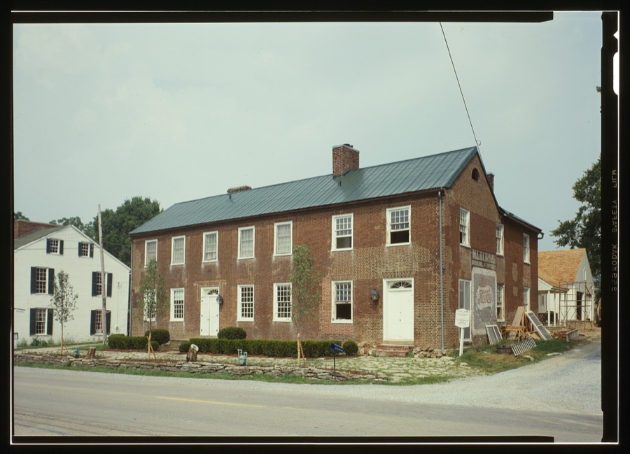
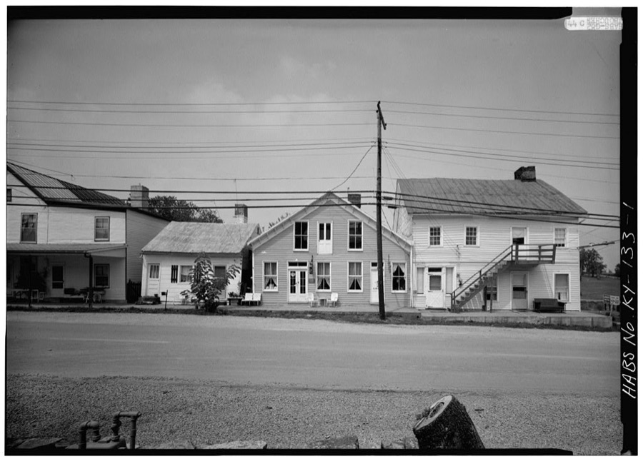
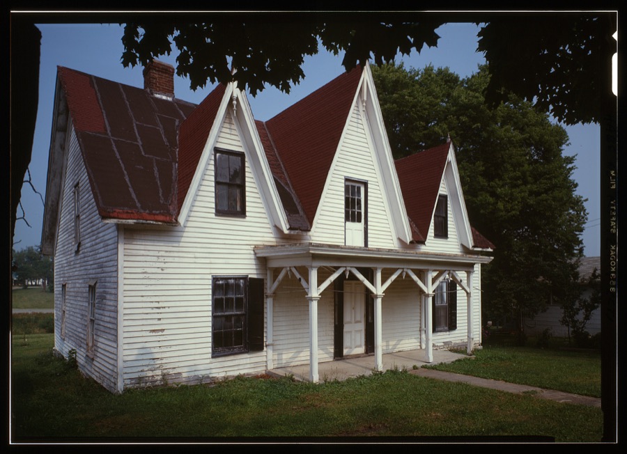
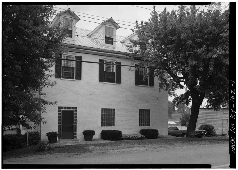
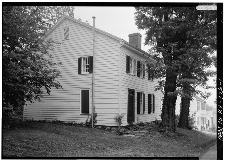
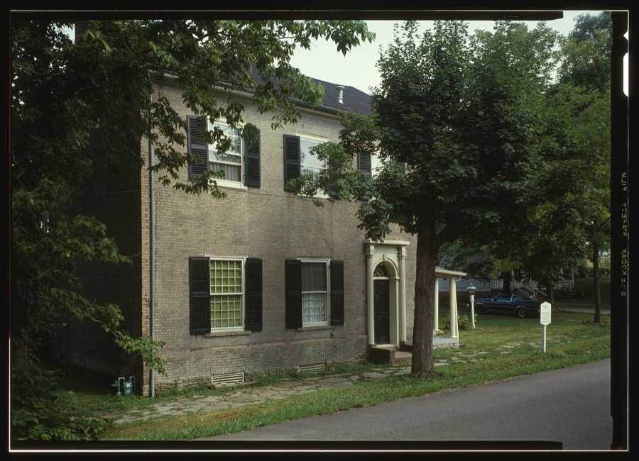
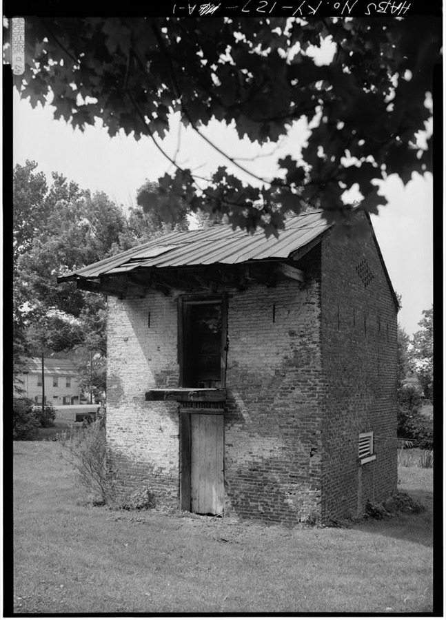
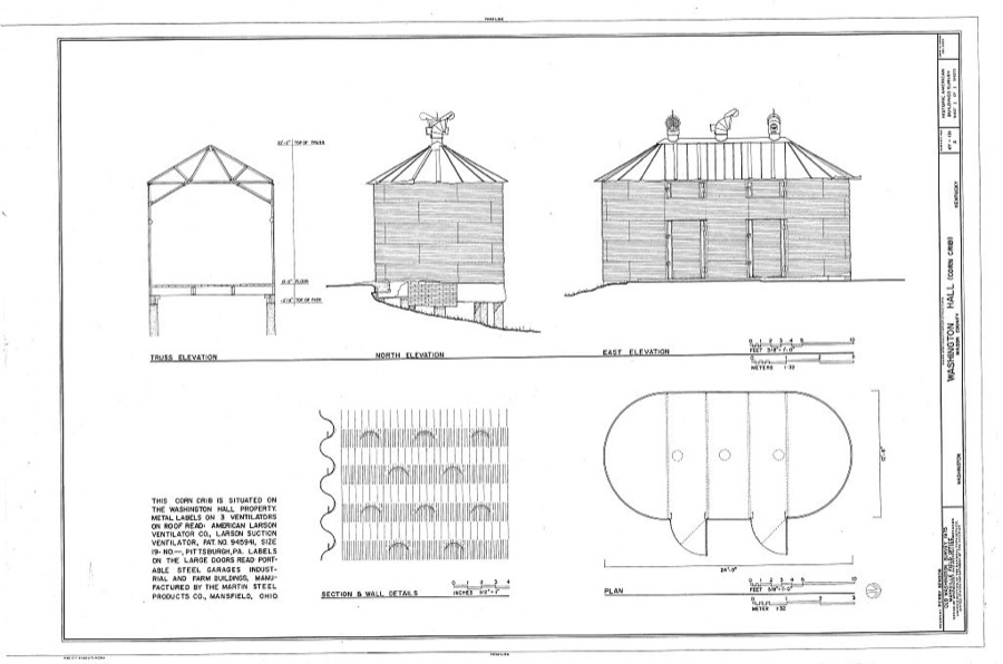
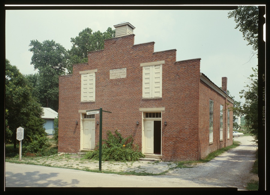
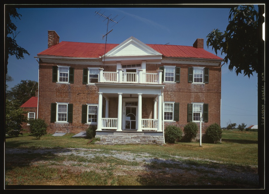
Every property in this county listed on the National Register of Historic Places, with the year it was listed and the federal nomination document.
| Photograph | Property | Type | Listed | Reference |
|---|---|---|---|---|
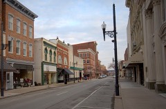 | 128 Market Street | building | 1982 | 82002734 |
| 49 West Second Street | building | 1982 | 82002734 |
| 53 West Second Street | building | 1982 | 82002734 |
 | Armstrong Row | district | 1984 | 84001818 |
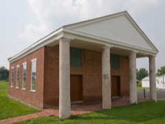 | Bracken Baptist Church | building | 1983 | 83002821 |
 | Courthouse Square and Mechanics' Row Historic District | district | 1975 | 75000803 |
 | Cox Building, The | building | 2011 | 11000538 |
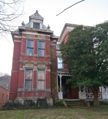 | Cox-Hord House | building | 1978 | 78001382 |
| Richard Durrett House | building | 2018 | 100002158 | |
| Tom Forman House | building | 1987 | 87000170 | |
| GAR Monument | object | 2018 | 100002159 | |
| Helena United Methodist Church | building | 2010 | 09001311 | |
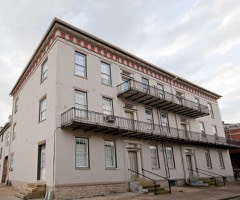 | Lee House | building | 1977 | 77000634 |
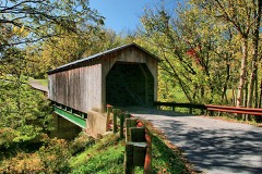 | Lee's Creek Covered Bridge | structure | 1976 | 76000923 |
| May's Lick Negro School | building | 2018 | 100002160 | |
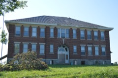 | Mays Lick Consolidated School | building | 1982 | 82002733 |
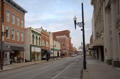 | Maysville Downtown Historic District (Boundary Increase) | district | 2017 | 16000502 |
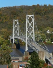 | Maysville-Aberdeen Bridge | structure | 1983 | 83002823 |
| McKay's Studio | building | 1982 | 82002734 |
| Milton Mills | building | 1987 | 87000148 | |
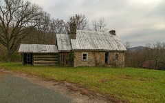 | Ben Moran House | building | 1987 | 87000161 |
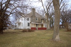 | Newdigate-Reed House | building | 1975 | 75000804 |
 | Old Library Building | building | 1974 | 74000895 |
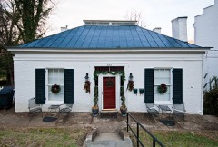 | Henry Perviance Peers House | building | 1998 | 98001486 |
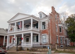 | Phillips' Folly | building | 1978 | 78001383 |
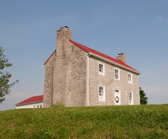 | Poague House | building | 1987 | 87000210 |
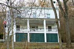 | Pogue House | building | 2005 | 05001322 |
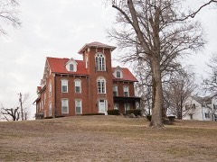 | Point Au View | building | 1985 | 85000015 |
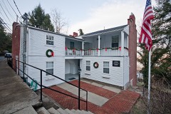 | John Brett Richeson House | building | 1994 | 94000733 |
 | Russell Theatre | building | 2006 | 06000216 |
| Rust House | building | 1978 | 78001384 | |
| Spring House at Flat Fork | building | 1987 | 87002051 | |
| Springhouse in Mays Lick | building | 1987 | 87002052 | |
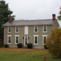 | Sroufe House | building | 2016 | 16000010 |
| Stone Barn on Lee's Creek | building | 1987 | 87000200 | |
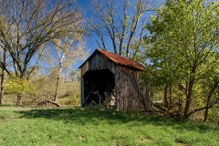 | Valley Pike Covered Bridge | structure | 1976 | 76000924 |
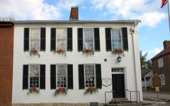 | Washington Historic District | district | 1970 | 70000253 |
| Washington Historic District (Boundary Increase) | district | 1976 | 76002274 | |
 | Washington Opera House | building | 1975 | 75000805 |
| West 2nd Street Historic District | district | 2017 | 100001425 | |
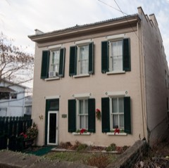 | West Fourth Street District | district | 1974 | 74000896 |
| Woodlawn | building | 1978 | 78001385 |
Mason County has 2 covered bridges on the National Register. Each is a listed structure with a federal nomination on file.
| Lee's Creek Covered Bridge | Listed 1976 |
| Valley Pike Covered Bridge | Listed 1976 |
Sampled issues, machine-read from the Library of Congress scan and published page by page, so every headline and column is searchable text.
Maysville, Ky., 1864 to 1866. Machine-read from the Library of Congress scan.
Maysville, Ky., 1913 to 1968. Machine-read from the Library of Congress scan.
Maysville, Ky., 1892 to 191?. Machine-read from the Library of Congress scan.
Maysville, Ky., 1862 to 1864. Machine-read from the Library of Congress scan.
Maysville [Ky.], 1881 to 1882. Machine-read from the Library of Congress scan.
Maysville [Ky.], 1882 to 1883. Machine-read from the Library of Congress scan.
Maysville [Ky.], 1883 to 1887. Machine-read from the Library of Congress scan.
Maysville, Ky., 1887 to 1905. Machine-read from the Library of Congress scan.
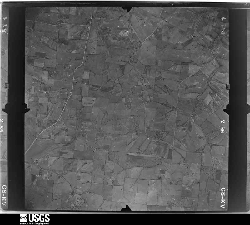
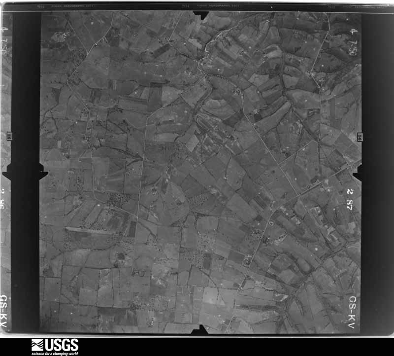
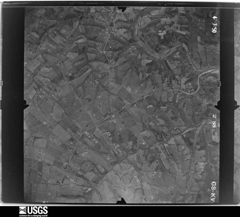
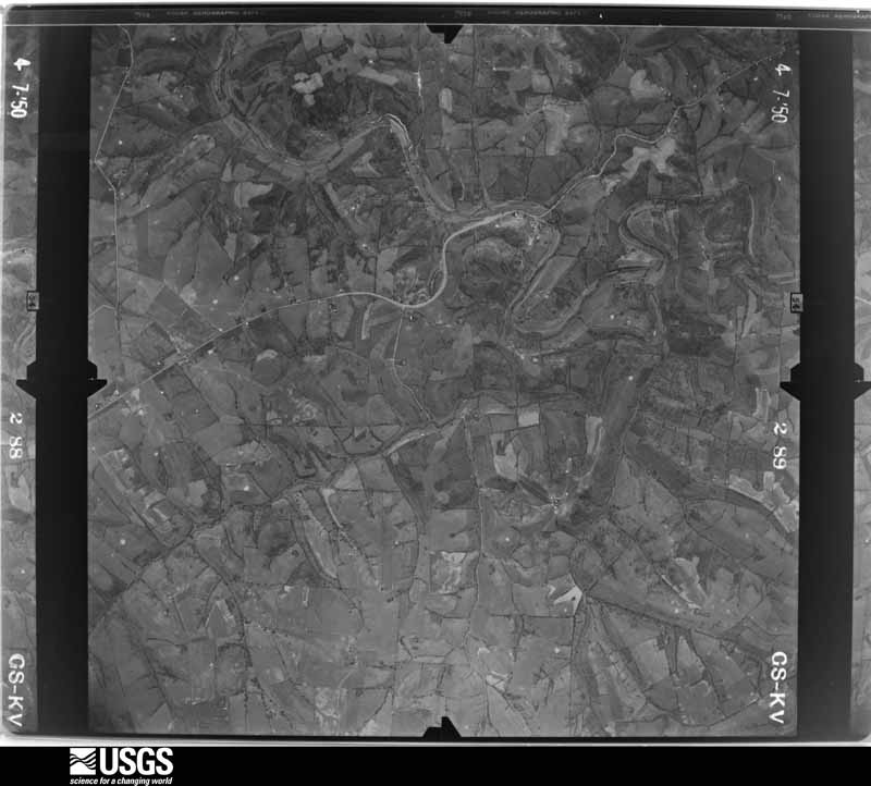
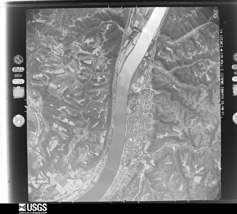
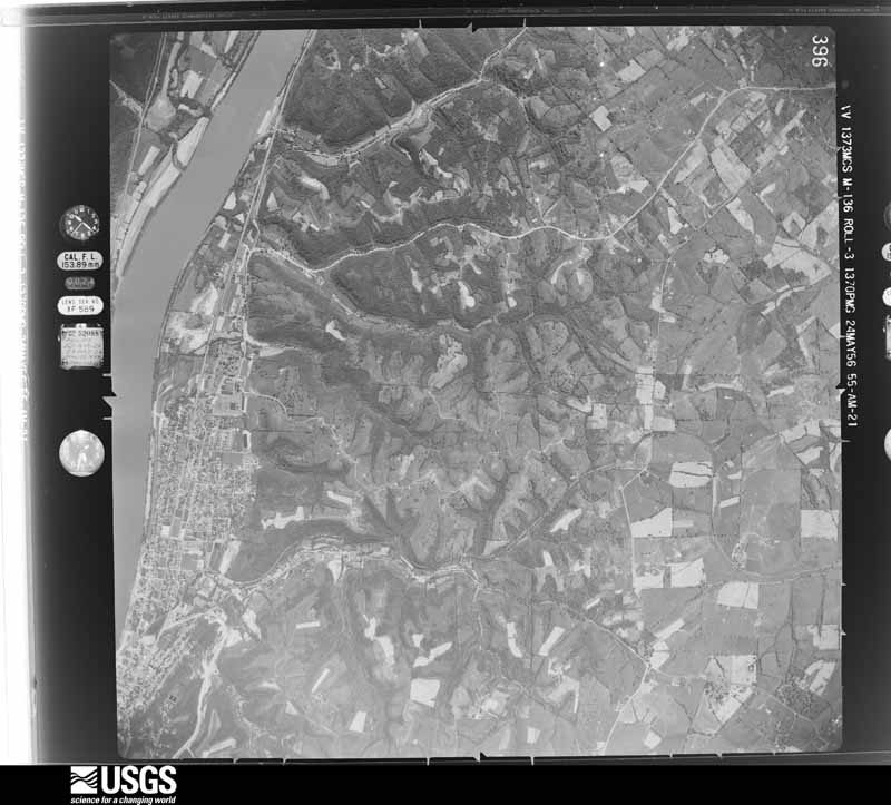
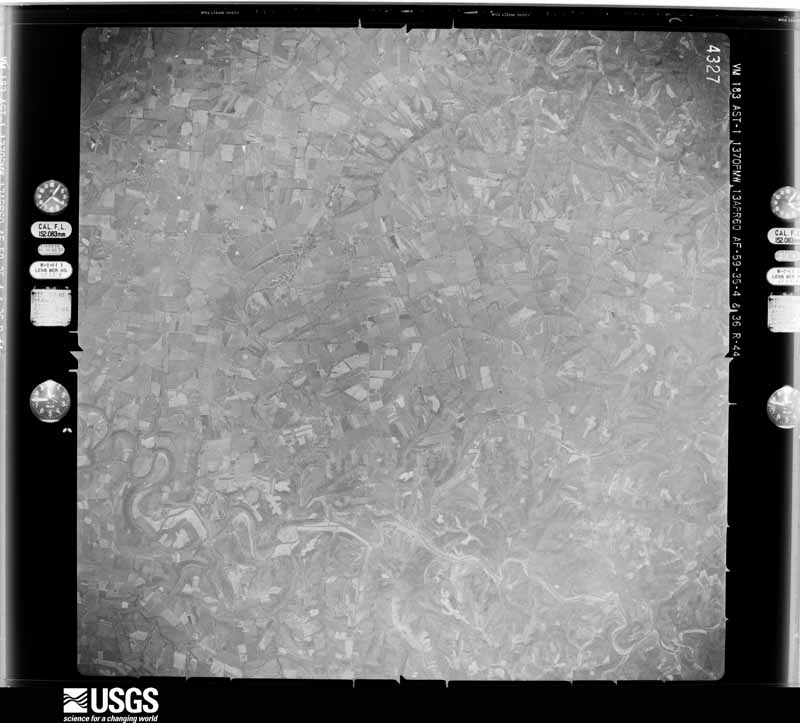
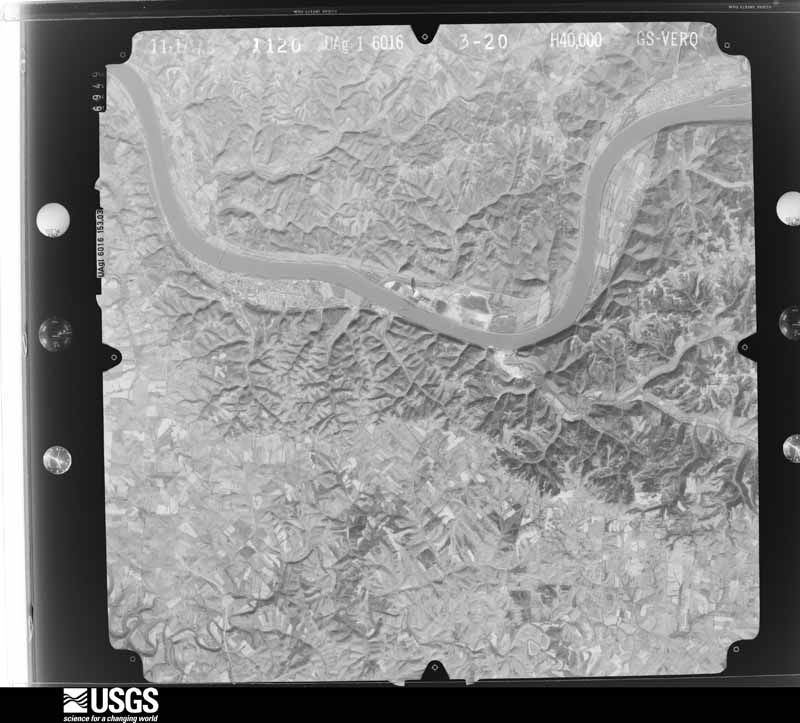
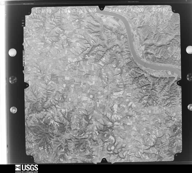
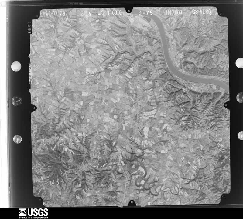
Flown by the U.S. Geological Survey between 1937 and 1989, the Aerial Photo Single Frames collection is the definitive mid-century view of the land: fields, roads and rivers as the camera saw them. The Survey holds 480 frames inside the rectangle that bounds this county; the 22 frames below were taken over the county itself, chosen across the decades of flights (at most four a year from that rectangle), so one flight cannot crowd out the rest. The full set is free to browse and download at EarthExplorer under the dataset Aerial Photo Single Frames.





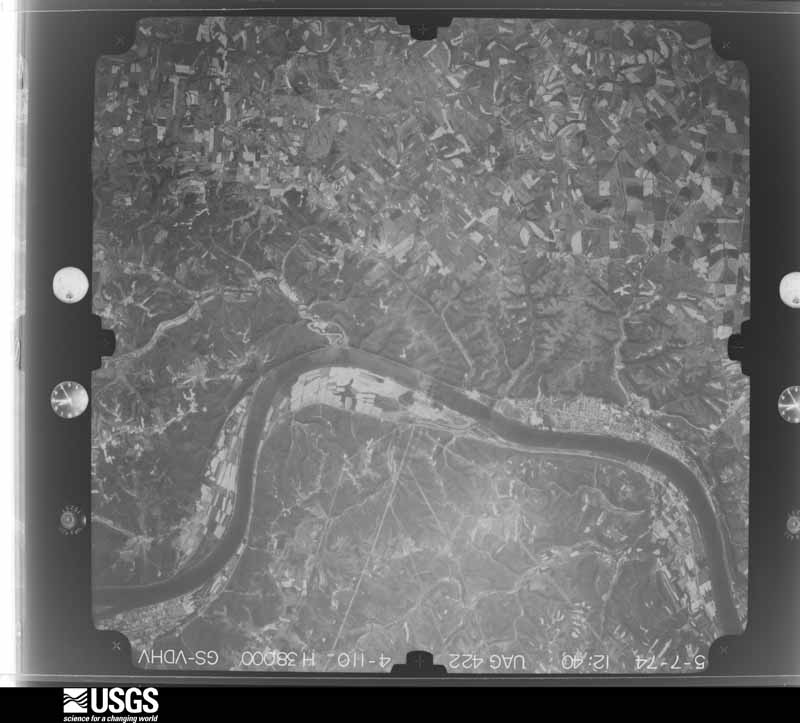
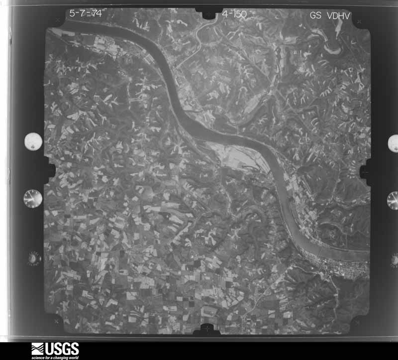
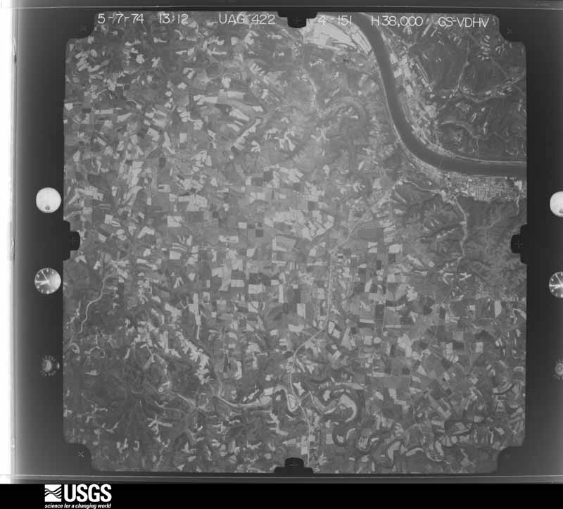


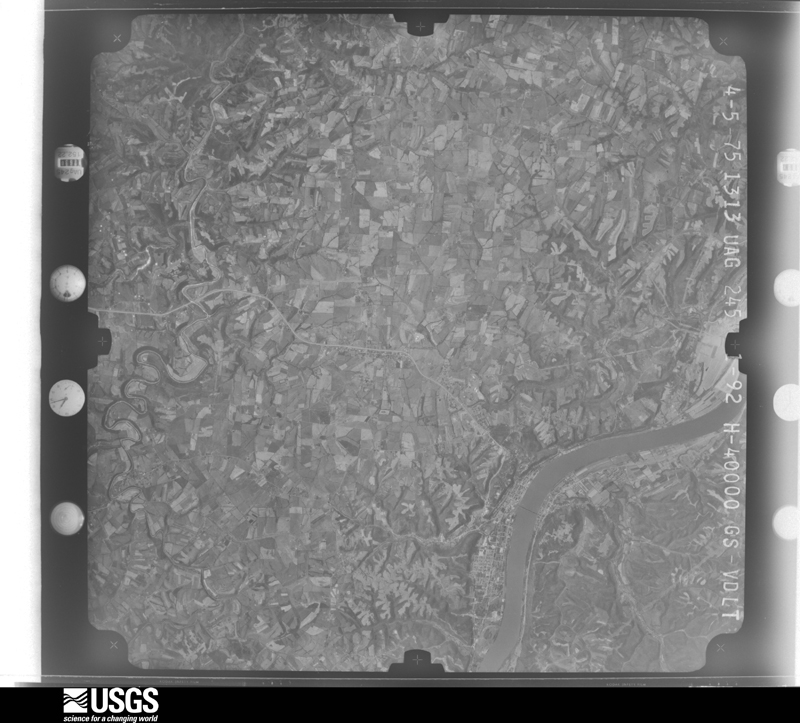

The thermometers that kept this county's weather, and the gages that measured the flow of its streams, as the federal records hold them. The extremes below are measured values from those records, not estimates.
Who lived here in 1950, one enumeration district at a time, as the Census Bureau described each district. Each row opens its official National Archives result, with Population Schedules and ED Maps available there.
Every wildfire the federal occurrence database records inside this county: 7 of them, burning about 44 acres. None started naturally and 1 was recorded as arson. Each settlement page carries the fires within five miles of it.
| Reported cause | Fires |
|---|---|
| Recreation and ceremony | 3 |
| Debris and open burning | 2 |
| Missing data/not specified/undetermined | 1 |
| Arson/incendiarism | 1 |
The five largest, by the area the report gives. One of them was set deliberately.
| Date | Cause | Size | Reported by | Name on the report |
|---|---|---|---|---|
| 11 November 2014 | Recreation and ceremony | 12 acres | Kentucky Division of Forestry | REID ST. |
| 3 November 2016 | Debris and open burning | 8.0 acres | Kentucky Division of Forestry | PLEASANT VALLEY RD. |
| 5 August 1999 | Arson/incendiarism | 7.0 acres | Kentucky Division of Forestry | not named |
| 23 March 2016 | Missing data/not specified/undetermined | 6.5 acres | Kentucky Division of Forestry | MAXEY FLAT |
| 24 October 2010 | Debris and open burning | 5.0 acres | Kentucky Division of Forestry | FIELDS LANE |
| 15 March 2014 | Recreation and ceremony | 4.0 acres | Kentucky Division of Forestry | CABIN CREEK |
| 3 November 2007 | Recreation and ceremony | 1.0 acres | Kentucky Division of Forestry | not named |
Every settlement page carries the fires within five miles of it - see the settlement index below.
The NOAA Storm Events Database holds 236 reports for this county, causing 1 death, 7 injuries and about $7,548,000 in recorded property damage. Each settlement page carries the reports that name it.
| Kind of event | Reports |
|---|---|
| Thunderstorm Wind | 128 |
| Flash Flood | 35 |
| Hail | 33 |
| Flood | 29 |
| Tornado | 10 |
| Heavy Rain | 1 |
The most serious of them, by death, then injury, then recorded damage. The accounts are quoted exactly as the forecast office filed them.
| When | Event | Place named | Harm | What the report says |
|---|---|---|---|---|
| March 1997 | Flash Flood | Countywide | 1 killed, $500,000 | no account filed |
| June 1981 | Tornado (F2) | not stated | 7 hurt, $2,500,000 | no account filed |
| February 2000 | Flash Flood | Countywide | $1,000,000 | Persistent heavy rainfall caused extensive flooding across the county. Three private driveway bridges were washed away, 4 roads were washed out, and 6 vehicles became submerged in the flood waters. |
| July 2017 | Flash Flood | Maysville | $750,000 | Five to seven inches of rain produced widespread flash flooding across Mason County. Several homes were damaged by rushing water, including one home that was washed off its foundation along State Route 11 east of Maysville. About 60 vehicles were washed away from an auto sales lot in Maysville. Numerous roads across the area also sustained damaged due to the rushing water. |
| May 2003 | Tornado (F3) | Maysville | $500,000 | The tornado touched down to the southeast of Maysville, continuing east-southeast into Lewis County. The greatest damage occurred in the Heron Hill area in western Lewis County. Seventeen people were injured in Lewis County. 21 homes were destroyed, 10 homes sustained major damage and 17 homes received minor damage. Numerous barns, buildings and garages were also damaged or destroyed. The tornado appeared to skip across parts of Mason and Lewis Counties. Tornado damage ended four miles to the southeast of Vanceburg. |
| November 1993 | Thunderstorm Wind | not stated | $500,000 | A barn roof was partially peeled off and several large trees were blown down near Dover. |
| April 2024 | Tornado (EF1) | Minerva | $300,000 | The tornado began within the town of Minerva, Kentucky causing tree and minor structural damage. Numerous trees were observed to be uprooted and snapped along Minerva Tuckahoe Road, consistent with EF1 intensity. Additionally, a structure was damaged on T Wenz Road, which confirmed the estimated EF1 intensity, with considerable roof coverage loss and a partial collapse of the second story brick wall. Due to a lack of access along the rest of T Wenz Road and Lee Creek, it is unknown how many trees and builders were damaged. The last known sign of damage, a few trees uprooted, was observed along Tuckahoe Road. It is believed the tornado dissipated before the Ohio River. |
| July 2000 | Thunderstorm Wind | Minerva | $150,000 | A supercell tracked across the county causing significant damage. Numerous trees were knocked down around Minerva, trees were downed and a barn roof was blown off in Washington, and trees and power lines were downed in Maysville. Roofs were also blown off houses in Maysville. |
| November 2000 | Thunderstorm Wind | Countywide | $100,000 | Thunderstorm winds downed trees across the county, blew a roof off a house in Maysville, and destroyed a barn in Sardis. |
| July 2010 | Flash Flood | Washington | $75,000 | A bridge was washed out due to flash flooding. Flash flooding was widespread around the area. |
| April 2024 | Tornado (EF1) | Somo | $50,000 | The first and primary visible damage of the tornado occurred at a property just off North Knoweshaw Road, near the intersection of the AA Highway. Here, notable damage occurred to an outbuilding, with a complete collapse of the wall structures. There were several trees that were broken and uprooted on this property as well, but the damage to the outbuilding was just enough to classify this tornado as an EF-1, with wind speeds estimated around 90 mph. ||Video footage was captured of this tornado crossing the AA Highway. The only other damage that occurred was at a property just on the south side of the AA Highway after the tornado crossed it. The primary damage here was hardwood trees that were broken. One of the windows was broken at the dwelling on this property as well. After this property, no other damage was reported, but there was insulation and other debris that was thrown across the fields southeast of this property, with the last known debris found at a nearby landfill. No property damage was observed at the landfill. |
| June 2019 | Tornado (EF0) | Minerva | $50,000 | The tornado touched down between the AA Highway and Kentucky 435. Damage was found along Kentucky 435, Minerva Tuckahoe Road, and Tuckahoe Road. Some of the heaviest and most concentrated tree damage was found very near the Ohio River on South Ripley Road, and adjacent areas of Mary Ingles Highway (Highway 8). The survey team found tree and agricultural building damage along the length of the path in Mason County. The vast majority of structural damage in Mason County consisted of barns and outbuildings with roof panels removed. The concentrated area of tree damage near the Ohio River showed clear signs of convergent damage patterns and cross-axis debris fall to the path of the circulation, confirming the likelihood of a tornadic circulation.||Across the Ohio River in the eastern side of Ripley, tree and shingle damage was found on Pearl Street, Kevin Drive, and portions of Elizabeth Street. There was little to no evidence of damage up the steep river bluff above the city of Ripley, suggesting the tornado was lifting as it moved into the city. |
| June 2010 | Thunderstorm Wind | Maysville | $50,000 | The damage surveyed consisted of a large limb on a car and a large limb on a house. There was also major damage to one building where the high winds produced a large hold in the side of the building. In another area of town, a tree was blown down onto a car and a power pole snapped in half and fell onto a car. Several large limbs were blown down on the railroad tracks. In addition, the weight room at the Mason County School football field was damaged. All the damage surveyed in these locations indicated straight line wind damage. |
| February 1993 | Thunderstorm Wind | not stated | $50,000 | Strong winds blew down two barns and a silo. In addition a house and several outbuildings were damaged. |
| February 1993 | Thunderstorm Wind | not stated | $50,000 | Strong winds blew down two barns and a silo. In addition a house and several outbuildings were damaged. |
| October 2014 | Thunderstorm Wind | Washington | $46,000 | A damage survey revealed a swath of wind damage that originated just southwest of the Simon Kenton subdivision on the west side of U.S. Highway 62. In this subdivision, tree damage was widespread and a few homes suffered minor roof damage. There was minor tree and fence damage on the east side of U.S. highway 62 on Algonquin Drive. Wind damage was also observed on the north side of the AA Highway at the Road Ranger gas station, where several gas pumps were blown over, and adjacent empty semi-trailers were tipped over. A Taco Bell sign on the south side of the AA Highway was damaged, and another semi-trailer tipped over behind the Big Sandy Outlet. The swath of damaging winds began spreading in width at this point as it crossed Maple Leaf Road. The wider swath of damage consisted of several homes with siding and roof damage, numerous snapped or broken trees, and broken windows on both sides of Maple Leaf Road. Minor damage was also found on the east side of Maple Leaf Road into several subdivisions and along Hill City Road and Medford Heights Drive. Minimal tree damage was found along Highway 11 to the east, suggesting an end point of the more organized swath of wind damage.||It should be noted that this swath of damaging wind was also sampled by a Kentucky Mesonet site near the Maysville Community Technical College (just south of the Simon Kenton subdivision mentioned above). A 60 mph wind gust was recorded at this station between 3:50 PM and 3:55 PM. |
| July 2025 | Flash Flood | South Ripley | $30,000 | Southern sections of the Lees Creek Road sustained partial washouts and had debris pile up with rushing water. |
| April 2025 | Tornado (EF0) | Minerva | $25,000 | The tornado developed in the town of Minerva where it caused minor damage on Minerva Tuckahoe Road. From there, the tornado traveled along T Wenz Road, north of Minerva Tuckahoe Road. Several outbuildings were destroyed along with damage to homes and farm equipment. The tornado dissipated over Lee Creek, west of Tuckahoe Road. |
| June 2021 | Thunderstorm Wind | Springdale | $25,000 | Numerous trees and power poles were downed east of Maysville along State Routes 9 and 10. |
| June 2019 | Flash Flood | Lewisburg | $25,000 | A portion of Strodes Run Road was washed out due to high water. |
| April 2011 | Thunderstorm Wind | Dover | $25,000 | Trees fell on three houses due to damaging thunderstorm winds. |
| June 1997 | Flash Flood | Countywide | $25,000 | Persistent heavy rainfall caused creeks and streams to rise out of their banks. Several cars were washed away in Maysville. |
| May 1997 | Flash Flood | Countywide | $25,000 | Persistent heavy rainfall caused area creeks and streams to rise out of their banks and across county roads. In Maysville, 4 cars were washed away by the flood waters. The heavy rainfall and flooding continued into June 1st. |
| May 1967 | Tornado (F3) | not stated | $25,000 | no account filed |
| March 1964 | Tornado (F1) | not stated | $25,000 | no account filed |
| April 2020 | Thunderstorm Wind | Minerva | $20,000 | The Earlywine Racing facility sustained damage. |
| April 2020 | Thunderstorm Wind | Sardis | $20,000 | Trees were knocked down on a house and car. A greenhouse and barn were damaged. |
| June 2019 | Thunderstorm Wind | Minerva | $20,000 | Damage to agricultural buildings was reported. Also numerous trees were reported knocked down. |
| March 2017 | Thunderstorm Wind | Murphysville | $20,000 | A trailer was overturned with debris blown onto US Route 68. |
| September 2009 | Flash Flood | Maysville | $20,000 | One car was washed away and four cars were washed out of a parking lot nearby due to heavy rainfall. People were also trapped on the 2nd floor of an apartment building. |
| August 2007 | Thunderstorm Wind | Sardis | $20,000 | A mobile home was ripped from its foundation and had its roof removed. |
| June 1995 | Thunderstorm Wind | Countywide | $20,000 | Thunderstorm winds ripped a roof off a hardware store east of Maysville. Trees were downed at a number of locations. |
| August 1995 | Thunderstorm Wind | Maysville | $20,000 | A microburst tore a metal roof off a barn and uprooted several trees. |
| April 1996 | Thunderstorm Wind | Maysville | $20,000 | no account filed |
| April 1996 | Thunderstorm Wind | Maysville | $20,000 | no account filed |
| April 2020 | Thunderstorm Wind | Maysville | $15,000 | A large tree was knocked down through a house. |
| April 2020 | Tornado (EF0) | Sardis | $15,000 | The tornado touched down southwest of Mays Lick and damaged structures and trees along its path. The damage was mostly found along and north of Raymond Road (Highway 324). |
| June 2012 | Thunderstorm Wind | Washington | $15,000 | Roof damage occurred to a Pizza Hut and numerous trees were downed in the area due to thunderstorm winds. |
| June 2011 | Flash Flood | Orangeburg | $15,000 | A road was washed out and an intersection was closed due to flash flooding. |
| October 2010 | Thunderstorm Wind | Maysville | $15,000 | A roof was ripped off of an apartment building due to damaging thunderstorm winds. |
| July 2010 | Flash Flood | Maysville | $15,000 | Numerous roads were closed due to high water. Some families were evacuated from their homes in eastern portions of the county. |
| March 2017 | Thunderstorm Wind | Lewisburg | $10,000 | A communication tower near the Lewisburg Volunteer Fire Department was bent. |
| February 2008 | Thunderstorm Wind | Mays Lick | $10,000 | The 67 mph gust was measured at the Fleming-Mason County Airport. A barn roof sustained damage and utility poles were also knocked down. |
| April 2006 | Thunderstorm Wind | Orangeburg | $10,000 | A barn sustained major damage. Numerous trees were also knocked down. |
| May 2006 | Thunderstorm Wind | Maysville | $10,000 | An 84 Lumber building along US Routes 62 and 68 had aluminum siding blown out in two spots. |
| August 2000 | Thunderstorm Wind | Countywide | $10,000 | Numerous trees downed across the county. |
| July 2015 | Flash Flood | Orangeburg | $8,000 | Flash flooding occurred on Stone Lick Branch along Kentucky State Route 1449. Rushing water destroyed a garage along the creek. |
| August 2010 | Thunderstorm Wind | Maysville | $8,000 | Numerous trees were knocked down and siding was off of a house due to damaging thunderstorm winds. A roof was also taken off a barn due to the winds. |
| May 2006 | Thunderstorm Wind | Maysville | $8,000 | A barn had its roof peeled off. Trees were also downed in the area. |
| May 2004 | Thunderstorm Wind | Countywide | $8,000 | Several trees were knocked down. |
| April 2020 | Thunderstorm Wind | Moranburg | $7,500 | A roof was partially removed from a house. |
| August 2024 | Thunderstorm Wind | Murphysville | $7,000 | A few trees and power poles were downed. |
| August 2024 | Thunderstorm Wind | Fernleaf | $7,000 | A few trees and power poles were downed on Barrett Pike. |
| July 2020 | Thunderstorm Wind | Dover | $6,000 | Several trees and power lines were downed near Dover in the area of State Route 8. |
| August 2007 | Thunderstorm Wind | Maysville | $6,000 | Trees and power lines were downed across the county. |
| April 2025 | Thunderstorm Wind | Minerva | $5,000 | A few trees were downed and siding was blown off of a house along State Route 435. |
| July 2025 | Flash Flood | South Ripley | $5,000 | Rushing water deposited debris over Marly Ingles Highway, north of Ripley Road and south of Tuckahoe Road. |
| June 2022 | Thunderstorm Wind | Helena | $5,000 | Several trees fell onto State Route 324, closing the road. |
| June 2022 | Thunderstorm Wind | South Ripley | $5,000 | Several trees fell onto State Route 8, closing the road. |
| May 2019 | Thunderstorm Wind | Dover | $5,000 | A tree fell onto a house on Market Street. |
The Survey's mineral resources record lists 4 workings inside this county. 3 still produce and 1 is closed or unrecorded. Each settlement page carries the workings within five miles of it.
| Commodity | Workings |
|---|---|
| Sand and Gravel, Construction | 2 |
| Calcium | 1 |
| Stone, Crushed/Broken | 1 |
The least common of them first, because a county's hundredth gravel pit says nothing its first ten did not.
| Where | Site | Commodity | Status | Recorded |
|---|---|---|---|---|
| Cabin Creek Mine | Stone, Crushed/Broken | Producer | ||
| Maysville Kiln | Calcium | Producer | ||
| Buckeye Plant | Sand and Gravel, Construction | Past Producer | ||
| Maysville Dredging, Inc. | Sand and Gravel, Construction | Producer |
Named settlements recorded in the Geographic Names Information System, each with the topographic sheets covering it. Villages, hamlets and abandoned places alike. Each is shown with the nearest named watercourse or landform and the survey quadrangle it falls on. The 1 place that was also surveyed for fire insurance comes first, with the number of atlases and photographs held for them.
Maysville census division · 41056 · On Goose Creek · Maysville East quadrangle
15 sheets, 1929 to 1992
Fire insurance: 8 atlases
Maysville census division · 41056 · On Bull Fork Creek · Maysville East quadrangle
15 sheets, 1929 to 1992
No longer a settlement
Maysville census division · 41056 · Near Jersey Ridge · Maysville West quadrangle
13 sheets, 1915 to 1991
Maysville census division · 41044 · Sardis quadrangle
10 sheets, 1915 to 1991
No longer a settlement
Maysville census division · 41034 · On Lee Creek · Higginsport quadrangle
12 sheets, 1928 to 1991
Maysville census division · 41056 · On Little Mill Creek · Mays Lick quadrangle
11 sheets, 1915 to 1991
Mays Lick census division · 41055 · Sardis quadrangle
10 sheets, 1915 to 1991
No longer a settlement
Maysville census division · 41056 · On Little Mill Creek · Mays Lick quadrangle
11 sheets, 1915 to 1991
Maysville census division · 41056 · On South Fork Lawrence Creek · Maysville West quadrangle
13 sheets, 1915 to 1991
Mays Lick census division · 41056 · On Lees Creek · Mays Lick quadrangle
11 sheets, 1915 to 1991
Maysville census division · 41056 · On Stone Lick Branch · Orangeburg quadrangle
12 sheets, 1929 to 1991
Maysville census division · 41056 · Near Sycamore Hill · Orangeburg quadrangle
12 sheets, 1929 to 1991
Maysville census division · 41056 · Maysville West quadrangle
13 sheets, 1915 to 1991
No longer a settlement
Maysville census division · 41056 · Maysville West quadrangle
13 sheets, 1915 to 1991
No longer a settlement
Maysville census division · 41034 · On Beasley Creek · Maysville West quadrangle
13 sheets, 1915 to 1991
Maysville census division · 41056 · On Cabin Creek · Orangeburg quadrangle
12 sheets, 1929 to 1991
Maysville census division · 41056 · On Middle Run · Orangeburg quadrangle
12 sheets, 1929 to 1991
No longer a settlement
The vanished settlements of Mason County: the places named above that are no longer on the map.
15 topographic sheets and 8 fire insurance atlases, 1886 to 1949
The complete index, with nothing left out. Each of these is a separate record with its own page: a federal survey report, or the case file that argued a property on to the National Register. Both are public domain and reproduced word for word.
The vanished settlements of Mason County, the places these records name that are no longer on the map.