 Block
From the record
3 National Register listings published here.
Sources: the National Register database, National Park Service
46 topographic sheets and 11 fire insurance atlases across 2 places.
3 National Register listings published here.
Sources: the National Register database, National Park Service
Taken for the Office of War Information and the Farm Security Administration, who photographed the country between 1935 and 1944. Works of United States government photographers, with no known restriction on use. Each opens its catalogue record.
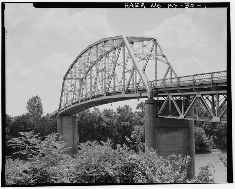
Every property in this county listed on the National Register of Historic Places, with the year it was listed and the federal nomination document.
| Photograph | Property | Type | Listed | Reference |
|---|---|---|---|---|
| Battle of Sacramento Battlefield | site | 1998 | 97000875 | |
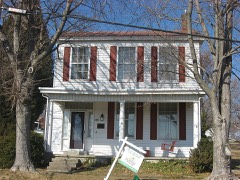 | Griffith-Franklin House | building | 1975 | 75002061 |
| J. W. Quigg Establishment | building | 2025 | 100012243 |
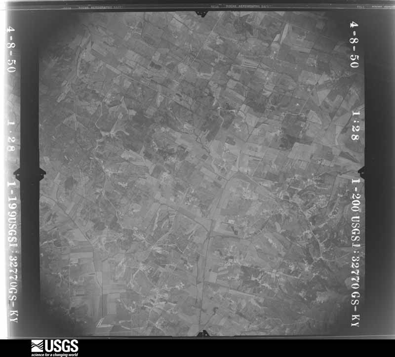
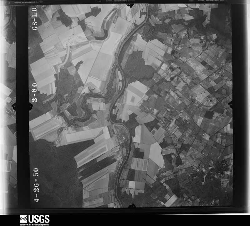
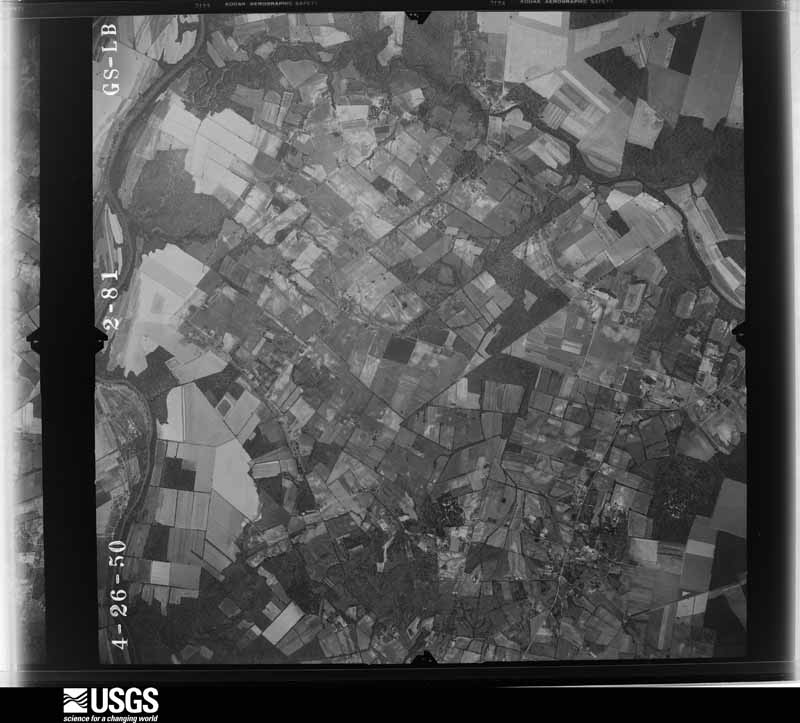
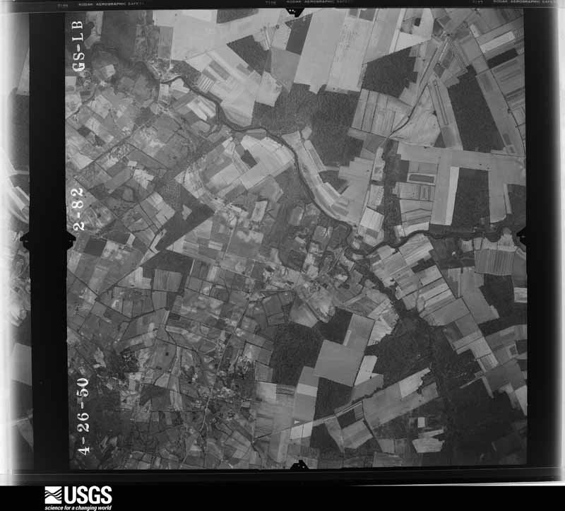
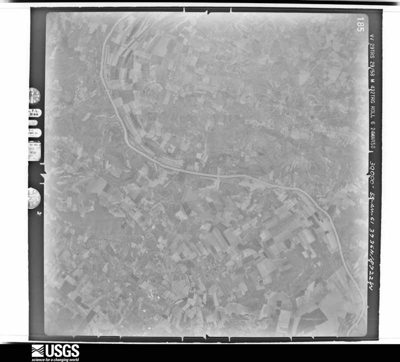
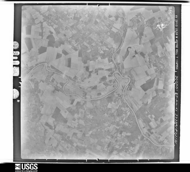
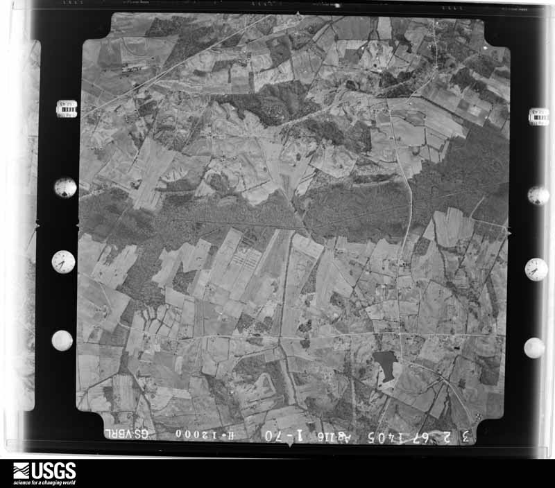
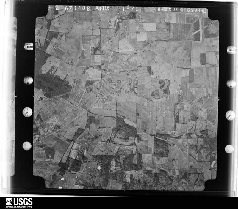
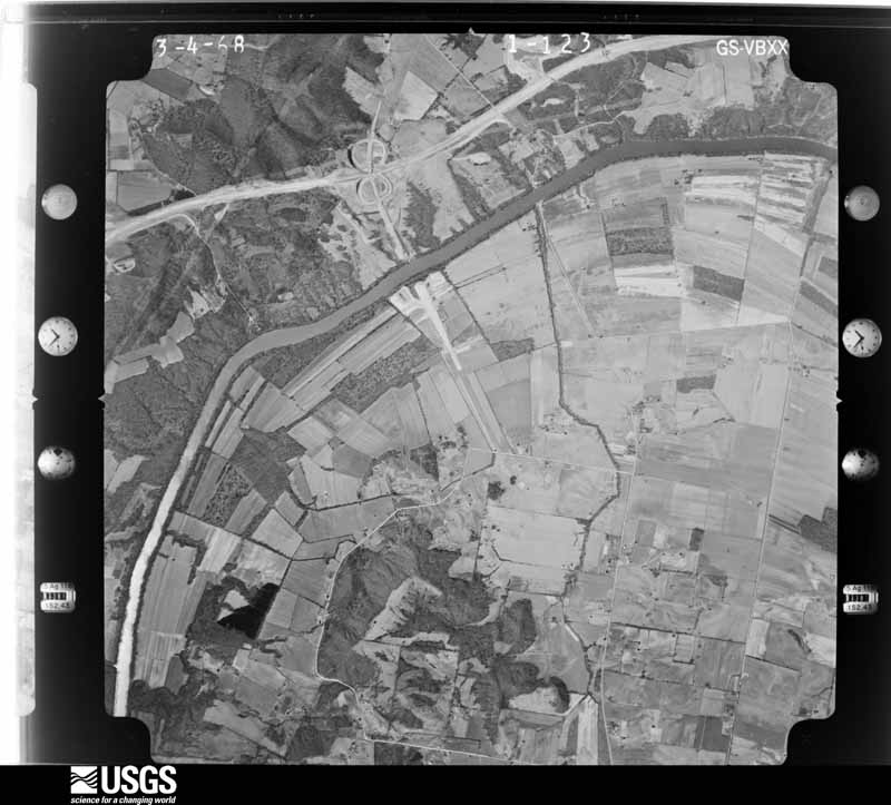
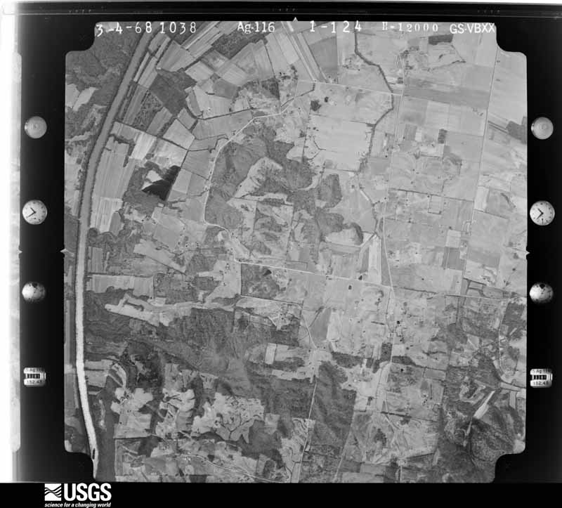
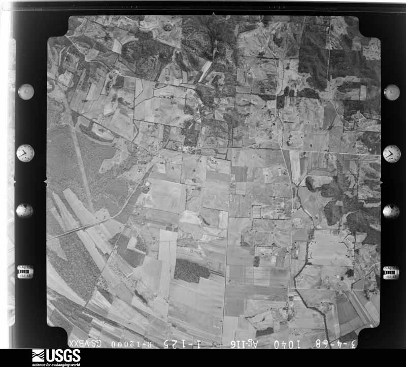
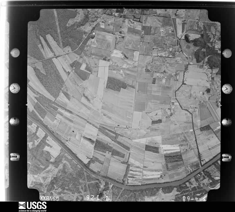
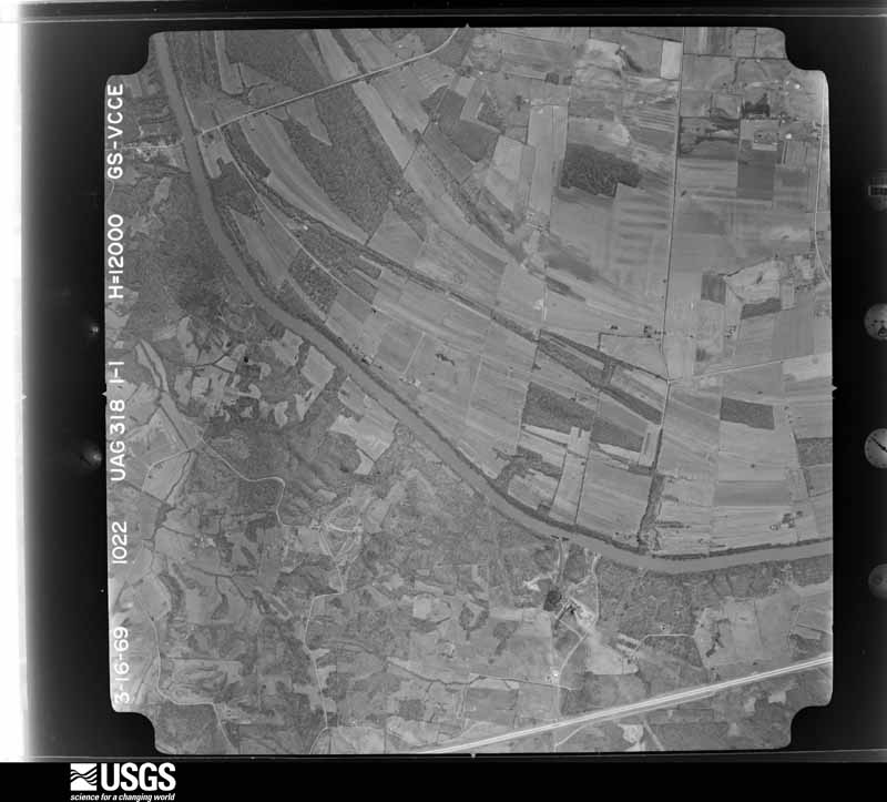
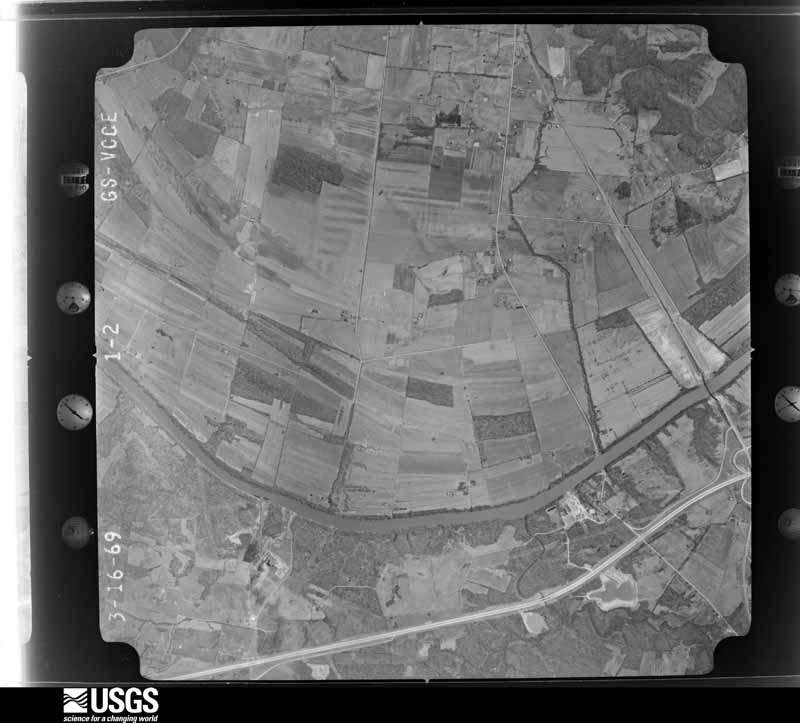
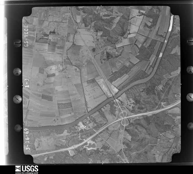
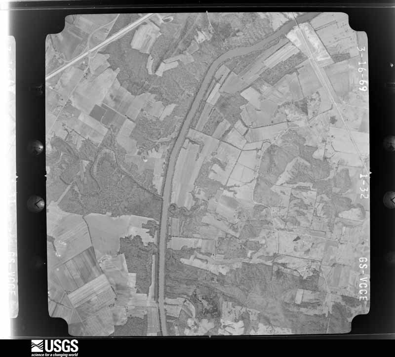
Flown by the U.S. Geological Survey between 1937 and 1989, the Aerial Photo Single Frames collection is the definitive mid-century view of the land: fields, roads and rivers as the camera saw them. The Survey holds 598 frames inside the rectangle that bounds this county; the 18 frames below were taken over the county itself, chosen across the decades of flights (at most four a year from that rectangle), so one flight cannot crowd out the rest. The full set is free to browse and download at EarthExplorer under the dataset Aerial Photo Single Frames.


The thermometers that kept this county's weather, and the gages that measured the flow of its streams, as the federal records hold them. The extremes below are measured values from those records, not estimates.
Who lived here in 1950, one enumeration district at a time, as the Census Bureau described each district. Each row opens its official National Archives result, with Population Schedules and ED Maps available there.
Every wildfire the federal occurrence database records inside this county: 29 of them, burning about 301 acres. 1 started naturally and 1 was recorded as arson. Each settlement page carries the fires within five miles of it.
| Reported cause | Fires |
|---|---|
| Missing data/not specified/undetermined | 16 |
| Debris and open burning | 5 |
| Recreation and ceremony | 3 |
| Railroad operations and maintenance | 2 |
| Arson/incendiarism | 1 |
| Natural | 1 |
| Equipment and vehicle use | 1 |
The five largest, by the area the report gives. One of them was set deliberately.
| Date | Cause | Size | Reported by | Name on the report |
|---|---|---|---|---|
| 14 September 2008 | Missing data/not specified/undetermined | 110 acres | Kentucky Division of Forestry | not named |
| 29 September 2010 | Debris and open burning | 38 acres | Kentucky Division of Forestry | HOUSE |
| 14 November 2013 | Missing data/not specified/undetermined | 30 acres | Kentucky Division of Forestry | PASCAL KING RD. |
| 5 March 2009 | Missing data/not specified/undetermined | 25 acres | Kentucky Division of Forestry | not named |
| 30 March 1998 | Arson/incendiarism | 20 acres | Kentucky Division of Forestry | not named |
| 14 November 2001 | Missing data/not specified/undetermined | 10 acres | Kentucky Division of Forestry | not named |
| 13 April 2006 | Missing data/not specified/undetermined | 10 acres | Kentucky Division of Forestry | not named |
| 3 October 2019 | Equipment and vehicle use | 10 acres | Kentucky Division of Forestry | POPCORN FIRE |
Every settlement page carries the fires within five miles of it - see the settlement index below.
The NOAA Storm Events Database holds 178 reports for this county, causing 1 death, 2 injuries and about $7,681,500 in recorded property damage. Each settlement page carries the reports that name it.
| Kind of event | Reports |
|---|---|
| Thunderstorm Wind | 55 |
| Flood | 47 |
| Hail | 43 |
| Flash Flood | 15 |
| Heavy Rain | 7 |
| Tornado | 6 |
| Funnel Cloud | 3 |
| Lightning | 2 |
The most serious of them, by death, then injury, then recorded damage. The accounts are quoted exactly as the forecast office filed them.
| When | Event | Place named | Harm | What the report says |
|---|---|---|---|---|
| March 1986 | Thunderstorm Wind | not stated | 1 killed | no account filed |
| May 2003 | Tornado (F3) | Sacremento | 2 hurt, $400,000 | One home was destroyed, and one home was severely damaged. A mobile home disintegrated, with the frame found one quarter mile away. Several barns or sheds were destroyed. Two vehicles were rolled. Numerous trees were uprooted, and some were blown some distance. The damage path began about one quarter mile west of Highway 81 in the south end of Sacramento, then extended eastward. The two injuries were relatively minor. Peak winds were estimated near 170 MPH. |
| May 2011 | Flood | Livermore | $3,000,000 | Major flooding continued on the Green River from April. At the Calhoun river gage, the flood crest of 34.01 feet on the morning of May 7 was just a few inches lower than the 1997 flood. This 2011 flood crest was the sixth highest on record. Green River floodwaters inundated the entire community of Rumsey and about 20 percent of Calhoun. A very small part of Livermore was flooded. |
| January 2002 | Tornado (F2) | Calhoun | $1,000,000 | Top wind speeds in this F-2 tornado were estimated near 120 MPH. The damage path extended from the extreme northwest side of Calhoun to the extreme northeast side of town. A total of about 53 buildings were damaged or destroyed, of which 43 were homes and 10 were businesses. At least one home and one business was destroyed, 5 houses received major damage, and 4 businesses including a church and daycare center received major damage. The business that was destroyed was a TV antenna/satellite service on Kentucky Highway 81 at the northern city limit of Calhoun. Most of the remainder of the structures received minor damage. In addition to the damaged homes and businesses, barns, grain bins, and at least one shed were destroyed. At the city-owned cemetery, 300 to 350 tombstones were overturned, and 50 trees were uprooted. |
| March 1997 | Flash Flood | Calhoun | $800,000 | no account filed |
| February 2025 | Flood | Poverty | $500,000 | River levels rose into flood following a rainy couple weeks in the Green River basin, with a major rainfall event of nearly half a foot of rain on the 15th leading water levels to surge at Calhoun to major flood. Nearly the entire town of Rumsey sustained some amount of water intrusion. Lower Calhoun flooded as well, along with many thousands of acres in the Island and Jewel City areas. Many homes and businesses along the river had flooding issues develop. River levels remained in moderate flood as flooding continued into March. |
| October 2007 | Tornado (EF2) | Beech Grove | $400,000 | Twelve to fifteen farm buildings were damaged. Six to eight barns were destroyed. One home received heavy damage. Three to four more houses received minor damage. A garage and several vehicles were destroyed. A pontoon boat loaded on a trailer was moved 15 to 20 feet. Numerous trees and power lines were down. The funnel was photographed by a resident of the Beech Grove area. Peak winds were estimated at 120 mph. The average path width was 300 yards. The tornado continued into Daviess County. |
| June 2020 | Flash Flood | Calhoun | $250,000 | Widespread flash flooding was reported. Several water rescues were conducted, including a few from homes and a few from vehicles. Major roads were closed, including Highways 431, 136, and 81. The majority of emergencies were in the mid-morning hours. Some roads remained closed into the evening. A state of emergency was declared by county government officials. The mesonet site five miles northwest of Calhoun measured 6.74 inches in 48 hours, but much of that fell on the morning of the 28th. |
| February 2009 | Thunderstorm Wind | Sacramento | $150,000 | A small storage barn was unroofed. Another larger storage structure collapsed. An airplane was flipped over at a small airstrip. Two carports were damaged. |
| April 2001 | Thunderstorm Wind | Livermore | $125,000 | A short-lived downburst affected a small area 1 to 3 miles west of U.S. Highway 431 near the community of Island. About a dozen farm buildings sustained varying degrees of damage, ranging from minor to severe. A barn was blown several feet off its foundation, a tool shed was blown down, and a hog house was unroofed. Three residences received minor damage. Trees were blown down. |
| January 2012 | Thunderstorm Wind | Guffie | $100,000 | Two mobile homes were destroyed, and many trees were blown over. One of the mobile homes was abandoned, and the residents of the other mobile home were not at home. One of the mobile homes was left in the middle of a road about four miles north of Calhoun. Six power poles were blown over on Kentucky Highway 81 about six miles northeast of Calhoun. Kentucky Highway 140 was closed due to power lines and power poles across the road. A barn was destroyed less than a mile from the Daviess County line. The damage swath extended from just north of Calhoun northeast to the Daviess County line. |
| April 2011 | Hail | Sacramento | $100,000 | Golf-ball size hail broke windshields and heavily dented vehicles. This was the same storm that produced golf-ball size hail in the Madisonville area earlier. |
| December 2013 | Thunderstorm Wind | Calhoun | $80,000 | The roof of the county high school was partially torn off. The gymnasium sustained major water damage. |
| May 2024 | Thunderstorm Wind | Livermore | $75,000 | A very powerful thunderstorm outflow boundary resulted in a mile wide swath of straight line wind damage as the line pushed through Livermore. Several large trees were uprooted with several large tree branches down. A few homes sustained minor shingle damage while a warehouse had partial roof loss. According to Livermore Public Works and McLean County EMA, several power lines were down along with damaged poles in town. |
| January 2012 | Thunderstorm Wind | Poverty | $60,000 | Kentucky Highway 256 was closed from Kentucky Highway 140 to the Long Falls Creek bridge due to downed power lines and power poles. |
| March 2018 | Flood | Calhoun | $50,000 | Moderate flooding continued from late February on the Green River. Flooding began in lower Calhoun. A large portion of Rumsey was flooded. Voluntary evacuations of homes were recommended. Thousands of acres were flooded in the Island, Rumsey, and Jewel City areas, but the cropland was mostly dormant. High water signs were posted on Kentucky Highway 81 near the Green River bridge. Numerous county roads and a few other state roads were closed. The river crested at 31.67 feet early on the 1st. Flood stage is 23 feet. |
| April 2008 | Flash Flood | Beech Grove | $50,000 | Five to six inches of water was over Highways 136, 56, and 140. Numerous areas countywide experienced flash flooding. A considerable amount of debris was deposited on roads. Rainfall for the 24 hours ending at 6 A.M. April 4 was 6.7 inches. |
| March 2008 | Flood | Beech Grove | $49,000 | Several roads were under water. |
| May 2024 | Tornado (EF1) | Sacramento | $45,000 | An EF-1 tornado began northwest of Bremen in Muhlenberg County and tracked northeastward into McLean County, continuing through the town of Island before lifting at Doug Hill Rd. The path consisted mostly of tree damage with minor damage to an automotive service building and powerlines in Island. Peak estimated winds with the McLean County portion, and the tornado as a whole, were 90 mph. NWS Paducah thanks NWS Louisville for their assistance surveying this tornado. |
| June 2018 | Thunderstorm Wind | Guffie | $40,000 | At the corner of Highways 815 and 140 in northern Mclean County, a camper trailer at least 20 feet long was overturned onto its roof. Numerous trees were blown down nearby. |
| December 2018 | Thunderstorm Wind | Livia | $40,000 | Near the intersection of U.S. Highway 431 and County Road 250, numerous trees were down. A small outbuilding was destroyed when its cinder block walls collapsed. A small wooden storage shed about 20 by 20 feet was blown about 50 feet off its foundation. Windows were blown out of a modular home, and minor damage occurred to a wall of the home. Plastic and metal pipes were blown about one-quarter mile into a field. Softwood trees were snapped 15 to 30 feet off the ground. A pine tree landed on the roof of a house, causing damage to the metal roof. A couple of farm outbuildings sustained minor damage, including a chicken house. Peak winds were estimated near 85 mph. The damage path was about one mile long and up to one-quarter mile wide. Most of the damage was along County Road 250. |
| April 2016 | Thunderstorm Wind | Beech Grove | $40,000 | Widespread tree damage was reported throughout the community. |
| April 2002 | Thunderstorm Wind | Sacremento | $40,000 | A mobile home was overturned in Sacramento. A tree fell on a house, and a carport was damaged in Island. Power lines and trees were down in Livermore. |
| March 2021 | Flood | Rumsey | $30,000 | Moderate flooding occurred along the Green River. The river crested at 29.69 feet on the Calhoun river gage. This was well above flood stage of 23 feet. This was the highest crest since March 1, 2018, when the river crested at 31.67 feet. Portions of Calhoun and Rumsey were flooded, but few if any residences were evacuated. Thousands of acres were flooded in the Island, Rumsey, and Jewel City areas, but the cropland was mostly dormant. Floodwaters approached Kentucky Highway 81 near the Green River bridge. Some county roads were closed. |
| May 2011 | Flood | Beech Grove | $30,000 | no account filed |
| May 2024 | Thunderstorm Wind | Livermore | $25,000 | A thunderstorm moving northeastward through Livermore caused large trees to be uprooted with a tree falling onto a house. |
| January 2016 | Flood | Calhoun | $20,000 | Moderate flooding continued into January on the Green River. At the Calhoun river gage, the river crested at 28.10 feet on New Years Eve. Flood stage there is 23 feet. Several county roads were closed. Kentucky Highway 85 near Island was closed, along with West Second Street in Rumsey. A couple of streets in Livermore were closed. In Livermore, the water levels came within a couple feet of shutting down the water plant that provides water to the city. A riverfront park in Calhoun was submerged. The Army Corps of Engineers Lock and Dam structure in Calhoun ceased operations after it went under water. Thousands of acres were flooded in the Island, Rumsey, and Jewel City areas. The acreage was mostly dormant cropland, woods, and fields. |
| June 2016 | Thunderstorm Wind | Calhoun | $15,000 | Four power poles were down on Highway 138 West on the outskirts of Rumsey. |
| January 2000 | Flash Flood | Countywide | $15,000 | no account filed |
| April 2015 | Flood | Livermore | $10,000 | Moderate flooding occurred along the Green River. At the Calhoun river gage, the river crested at 28.02 feet on the 22nd. Flood stage is 23 feet. Thousands of acres were flooded in the Rumsey, Island, and Jewel City areas of Mclean County. Spring planting was not yet underway, so crop losses were negligible. Several county roads were closed. Kentucky Highway 85 near Island was closed, along with West Second Street in Rumsey. A couple of streets in Livermore were closed. A riverfront park in Calhoun was submerged. |
| December 2015 | Flood | Calhoun | $10,000 | Moderate flooding occurred on the Green River. At the Calhoun river gage, the river crested at 28.10 feet on New Years Eve. Flood stage there is 23 feet. Several county roads were closed. Kentucky Highway 85 near Island was closed, along with West Second Street in Rumsey. A couple of streets in Livermore were closed. In Livermore, the water levels came within a couple feet of shutting down the water plant that provides water to the city. A riverfront park in Calhoun was submerged. The Army Corps of Engineers Lock and Dam structure in Calhoun ceased operations after it went under water. Thousands of acres were flooded in the Island, Rumsey, and Jewel City areas. The acreage was mostly dormant cropland, woods, and fields. The flooding continued into January. |
| May 2010 | Flood | Calhoun | $10,000 | Moderate flooding of the Green River occurred in the Calhoun and Rumsey areas. Lower parts of Calhoun began flooding. A large portion of Rumsey was flooded. No mandatory evacuations were ordered, but firefighters went door-to-door in flood-prone neighborhoods in lower Calhoun, Rumsey, and the west side of Livermore. Around 60,000 acres of cropland were flooded in the Island, Rumsey, and Jewel City areas. About half of that land was planted, mostly with corn. |
| December 2007 | Flood | Buel | $10,000 | At the river gage at Calhoun, the Green River crested at 28.02 feet on the 18th. This was a moderate flood. Flood stage is 23 feet. Several county roads were closed. Kentucky Highway 85 near Island was closed, along with West Second Street in Rumsey. A couple of streets in Livermore were closed. Some of the least travelled gravel farm roads were closed for more than a week until repairs could be made. In Livermore, the water levels came within a couple feet of shutting down the water plant that provides water to the city. A riverfront park in Calhoun was submerged. The Army Corps of Engineers Lock and Dam structure in Calhoun ceased operations after it went under water. Thousands of acres were flooded in the Island, Rumsey, and Jewel City areas. The acreage was mostly dormant cropland, woods, and fields. |
| March 2006 | Thunderstorm Wind | Countywide | $10,000 | In the Livermore area, sheds and full-size tobacco barns were blown down. Shingles were blown off houses and barns. Sheets of metal siding were torn off barns. Mature trees were blown down, some of which impacted houses. Elsewhere in the county, four power poles and several trees were down. |
| August 2006 | Lightning | Beech Grove | $10,000 | A lightning strike damaged the electrical system of chicken houses. |
| July 1996 | Thunderstorm Wind | Calhoun | $10,000 | no account filed |
| July 2016 | Flash Flood | Cleopatra | $8,000 | Flowing water damaged a culvert on a county road near Beech Grove. Parts of State Roads 136 West, 56 North, 250, and 140 were under water. The Kentucky mesonet site several miles northwest of Calhoun measured 5.18 inches during the morning. |
| June 2006 | Thunderstorm Wind | Calhoun | $8,000 | Widespread tree damage and downed power lines were reported throughout Calhoun and in the Sacramento area. |
| May 2011 | Thunderstorm Wind | Beech Grove | $7,000 | There was minor damage to a grocery store in Beech Grove. A wind gust to 61 mph was measured at a Kentucky mesonet site several miles to the southeast. |
| July 2004 | Thunderstorm Wind | Countywide | $7,000 | Trees and power lines were blown down across the county, including Calhoun and Livermore. |
| June 2019 | Thunderstorm Wind | Livermore | $5,000 | In Livermore, a tree was down on a house. The roof was torn off a tool shed. A couple miles northeast of Livermore, a large tree that was 100 to 150 years old was uprooted. |
| May 2006 | Thunderstorm Wind | Calhoun | $5,000 | Several large tree limbs were down in Livermore and Calhoun, along with some power lines. |
| July 2006 | Thunderstorm Wind | Countywide | $5,000 | Numerous trees were blown down across roadways. One tree landed on a home in Beech Grove. |
| August 2005 | Thunderstorm Wind | Island | $5,000 | A roof was blown off a house, and a trampoline was blown into a house. |
| November 2000 | Thunderstorm Wind | Countywide | $5,000 | A utility company reported trees and wires down. |
| May 1999 | Thunderstorm Wind | Countywide | $5,000 | A utility company reported a few trees and power lines down at locations scattered around the county. |
| May 1996 | Thunderstorm Wind | Beech Grove | $5,000 | no account filed |
| July 2004 | Thunderstorm Wind | Calhoun | $4,000 | Trees and power lines were blown down in Calhoun and Island. |
| April 2011 | Thunderstorm Wind | Beech Grove | $3,000 | Trained spotters reported tree limbs were blown down by gusts near 65 mph. |
| November 2005 | Tornado (F1) | Calhoun | $3,000 | The front porch of a house was blown off. An outbuilding behind the house was moved slightly. Peak winds in this short-lived tornado were estimated near 75 MPH. This tornado was spawned by a supercell thunderstorm with a history of long-track tornadoes across western Kentucky, including the F-4 in neighboring Hopkins County. |
| July 2001 | Lightning | Livermore | $2,000 | Lightning struck a tree, causing it to fall on power lines and start a fire. |
| May 2000 | Thunderstorm Wind | Livermore | $2,000 | A couple of large tree limbs were blown down. |
| April 2022 | Thunderstorm Wind | Sacramento | $1,000 | Small to medium tree limbs were broken. |
| July 2022 | Thunderstorm Wind | Rumsey | $1,000 | A tree was uprooted. |
| December 2011 | Flood | Calhoun | $1,000 | Minor flooding of low-lying fields occurred along the Green River. Some river access roads were flooded. |
| February 1993 | Hail | Sacramento | $500 | no account filed |
| March 2025 | Flood | Poverty | - | Late February flooding continued into early March along the Green River at Calhoun. Moderate flooding continued through the early afternoon of the 2nd when the river fell below the moderate flood stage of 26'. Thousands of acres remained underwater in the Calhoun, Rumsey, Island, and Jewel City areas, Minor flooding mainly of bottomland then continued until the morning of the 4th when the river fell just below flood stage. |
| February 2025 | Flood | Beech Grove | - | The flash flooding on the evening of the 15th transitioned to areal flooding early on the 16th. The additional flood waters served to aggravate the ongoing flooding on the Green River through McLean County. |
| February 2025 | Flash Flood | Wrightburg | - | Flash flooding along Yellow Creek, closed a portion of Highway 797 southeast of Beech Grove. One water rescue occurred in this location. Numerous other county roads were flooded across McLean County. |
| March 2025 | Hail | Poverty | - | Hail up to the size of nickes fell near Poverty. |
The Survey's mineral resources record lists 2 workings inside this county. None of them still produces: all are closed or unrecorded. Each settlement page carries the workings within five miles of it.
| Commodity | Workings |
|---|---|
| Silica | 1 |
| Clay | 1 |
The least common of them first, because a county's hundredth gravel pit says nothing its first ten did not.
| Where | Site | Commodity | Status | Recorded |
|---|---|---|---|---|
| Livermore Shale | Clay | Prospect | ||
| Roland Landing Sandstone Quarry | Silica | Past Producer |
Named settlements recorded in the Geographic Names Information System, each with the topographic sheets covering it. Villages, hamlets and abandoned places alike. Each is shown with the nearest named watercourse or landform and the survey quadrangle it falls on. The 2 places that were also surveyed for fire insurance come first, with the number of atlases and photographs held for them.
Calhoun census division · 42327 · On Myer Creek · Calhoun quadrangle
13 sheets, 1908 to 1991
Fire insurance: 7 atlases
Livermore census division · 42352 · On Rough River · Livermore quadrangle
13 sheets, 1909 to 1983
Fire insurance: 4 atlases
Calhoun census division · 42327 · Near Wrightsburg Hill · Beech Grove quadrangle
14 sheets, 1908 to 1991
Livermore census division · 42352 · Near Barrett Hill · Utica quadrangle
14 sheets, 1906 to 1991
No longer a settlement
Calhoun census division · 42327 · Near Grindstone Hill · Glenville quadrangle
13 sheets, 1906 to 1991
No longer a settlement
Island census division · 42350 · Equality quadrangle
13 sheets, 1909 to 1983
No longer a settlement
Calhoun census division · 42327 · Near Johnson Island · Calhoun quadrangle
13 sheets, 1908 to 1991
No longer a settlement
Calhoun census division · 42327 · On Johnson Island · Calhoun quadrangle
13 sheets, 1908 to 1991
Calhoun census division · 42327 · Near Johnson Island · Calhoun quadrangle
13 sheets, 1908 to 1991
No longer a settlement
Calhoun census division · 42327 · On Yellow Creek · Beech Grove quadrangle
14 sheets, 1908 to 1991
Calhoun census division · 42327 · Near Grindstone Hill · Calhoun quadrangle
13 sheets, 1908 to 1991
No longer a settlement
Calhoun census division · 42327 · On Yellow Creek · Calhoun quadrangle
13 sheets, 1908 to 1991
Sacramento census division · 42371 · On Cypress Creek · Sacramento quadrangle
12 sheets, 1909 to 1983
No longer a settlement
Calhoun census division · 42327 · On Cave Creek · Calhoun quadrangle
13 sheets, 1908 to 1991
Calhoun census division · 42327 · On Sputzman Creek · Delaware quadrangle
13 sheets, 1908 to 1991
Island census division · 42350 · Equality quadrangle
13 sheets, 1909 to 1983
No longer a settlement
Calhoun census division · 42371 · On Eagle Creek · Calhoun quadrangle
13 sheets, 1908 to 1991
No longer a settlement
Sacramento census division · 42372 · On Elk Creek · Sacramento quadrangle
12 sheets, 1909 to 1983
No longer a settlement
Calhoun census division · 42350 · On Basin Branch · Livermore quadrangle
13 sheets, 1909 to 1983
Sacramento census division · 42350 · Livermore quadrangle
13 sheets, 1909 to 1983
No longer a settlement
Calhoun census division · 42327 · On Mason Creek · Beech Grove quadrangle
14 sheets, 1908 to 1991
The vanished settlements of McLean County: the places named above that are no longer on the map.
13 topographic sheets and 7 fire insurance atlases, 1886 to 1923
13 topographic sheets and 4 fire insurance atlases, 1909 to 1931
The complete index, with nothing left out. Each of these is a separate record with its own page: a federal survey report, or the case file that argued a property on to the National Register. Both are public domain and reproduced word for word.
The vanished settlements of McLean County, the places these records name that are no longer on the map.