 Block
From the record
1 National Register listing published here.
Sources: the National Register database, National Park Service
52 topographic sheets cover 40 settlements here, and 1 property is on the National Register of Historic Places.
1 National Register listing published here.
Sources: the National Register database, National Park Service
Every property in this county listed on the National Register of Historic Places, with the year it was listed and the federal nomination document.
| Photograph | Property | Type | Listed | Reference |
|---|---|---|---|---|
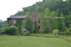 | Frenchburg School Campus | district | 1978 | 78001387 |
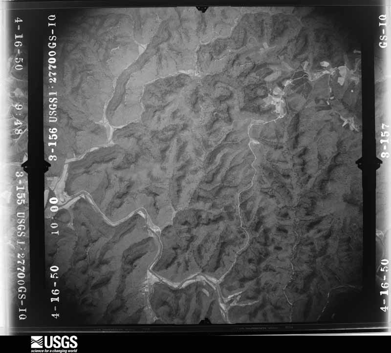
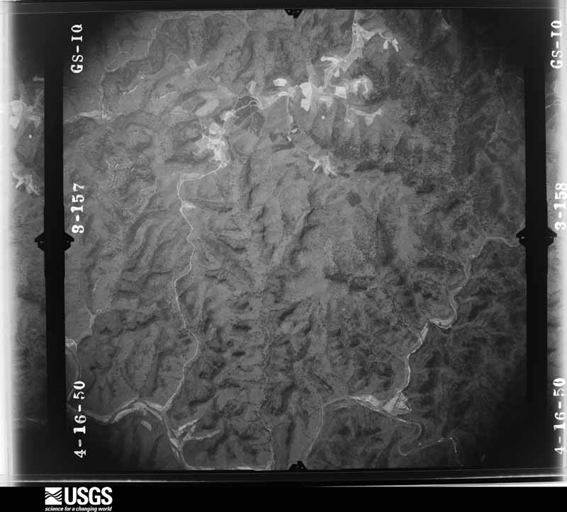
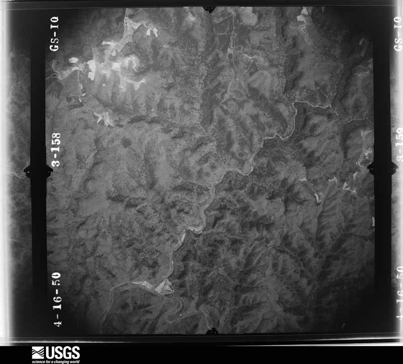
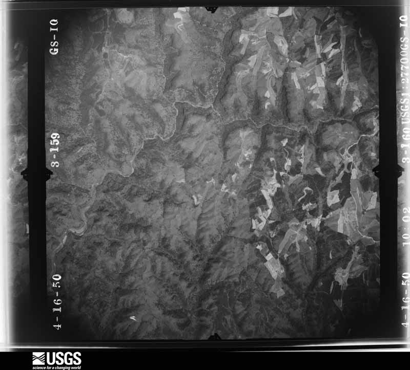
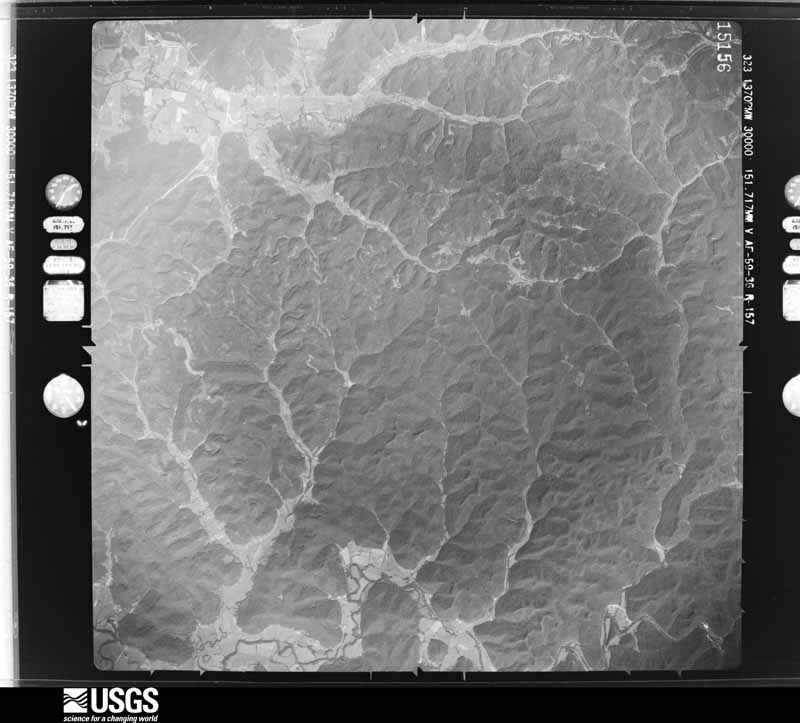
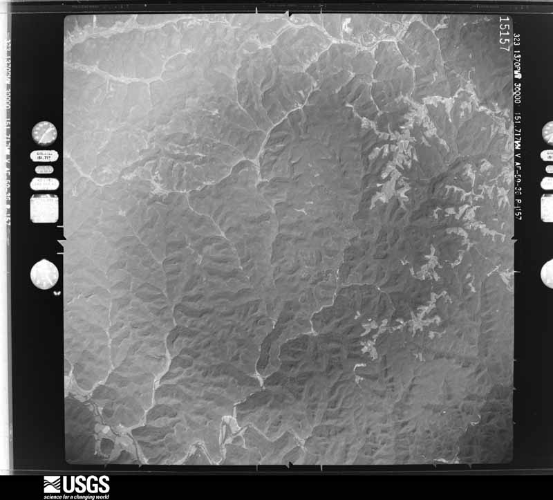
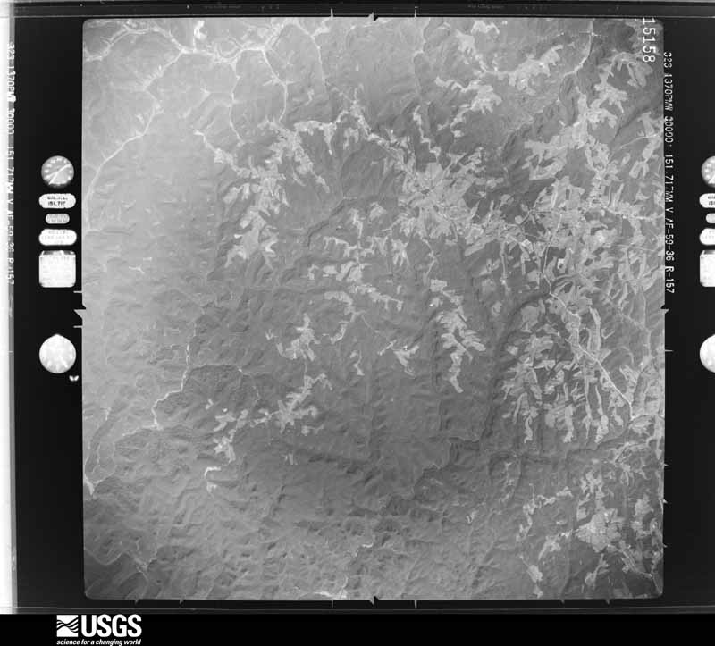
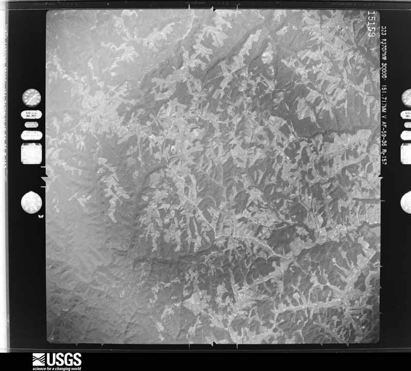
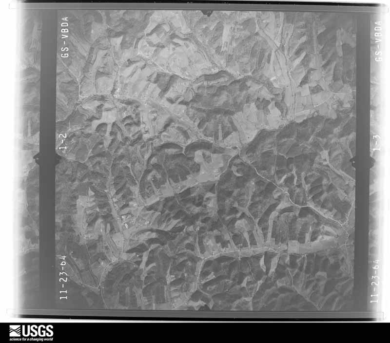
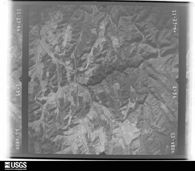
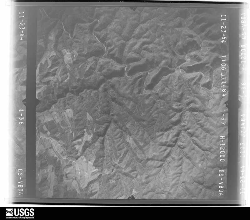
Flown by the U.S. Geological Survey between 1937 and 1989, the Aerial Photo Single Frames collection is the definitive mid-century view of the land: fields, roads and rivers as the camera saw them. The Survey holds 401 frames inside the rectangle that bounds this county; the 22 frames below were taken over the county itself, chosen across the decades of flights (at most four a year from that rectangle), so one flight cannot crowd out the rest. The full set is free to browse and download at EarthExplorer under the dataset Aerial Photo Single Frames.

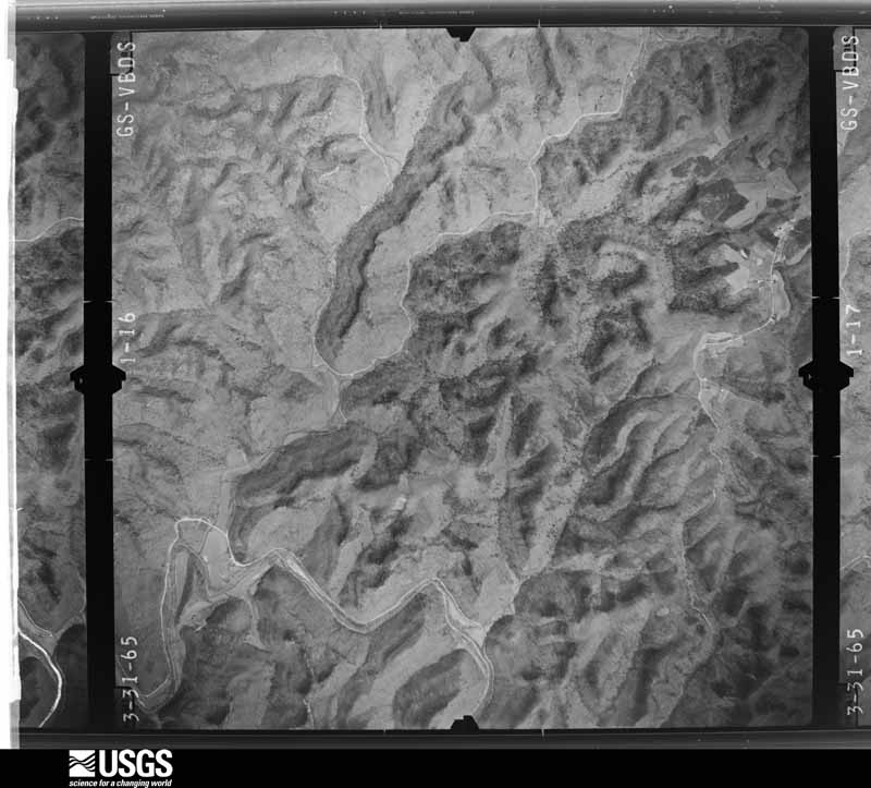
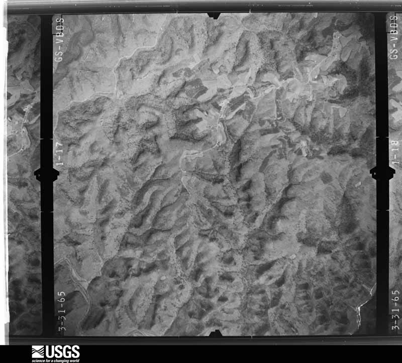
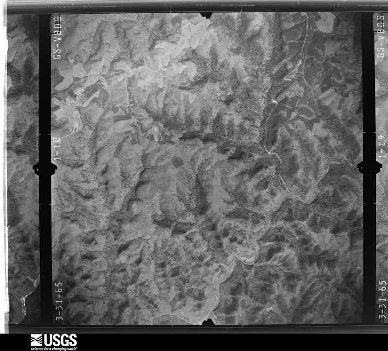
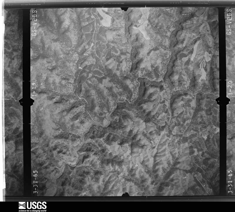
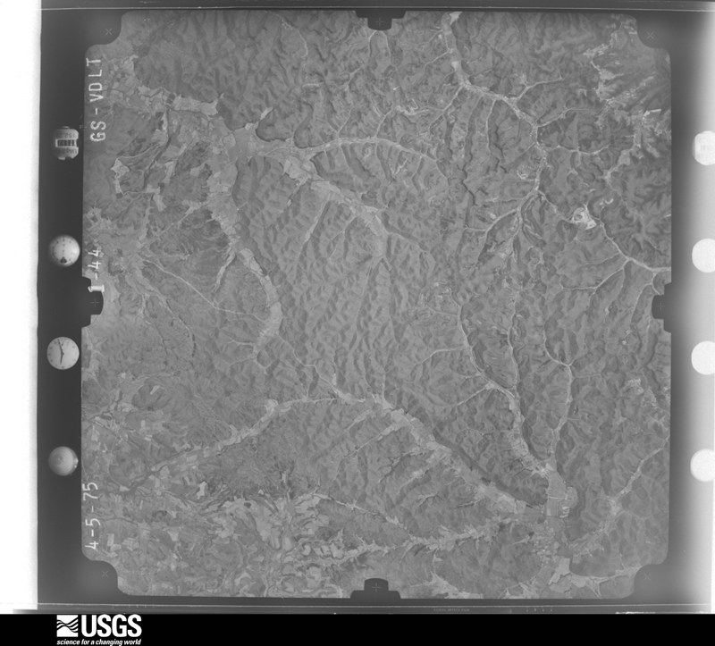

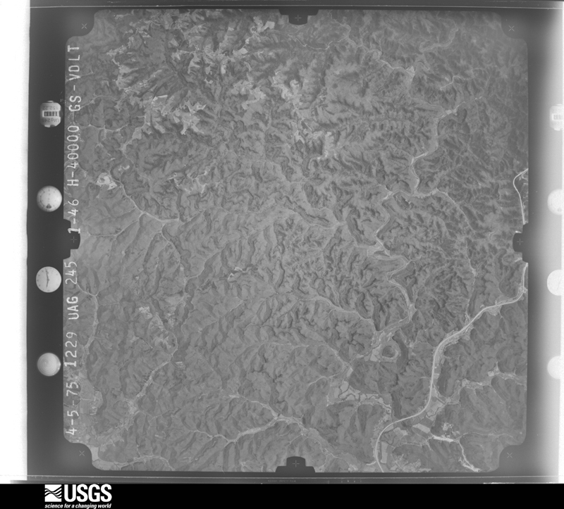

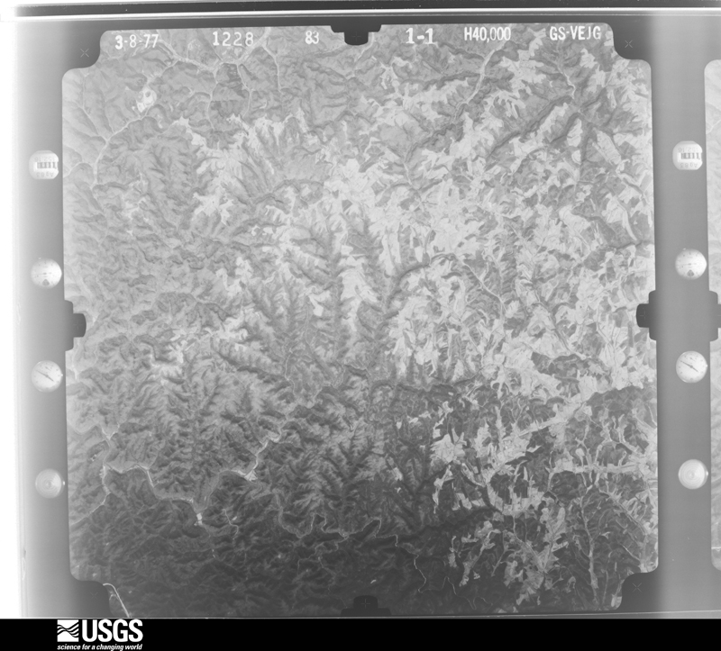
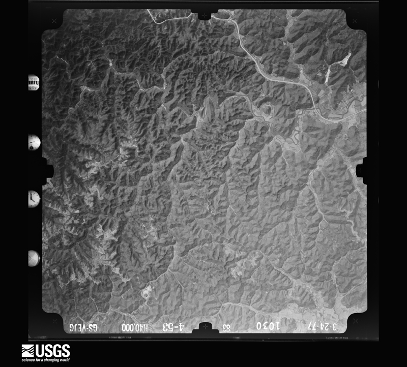
The thermometers that kept this county's weather, as the federal records hold them. The extremes below are measured values from those records, not estimates.
Who lived here in 1950, one enumeration district at a time, as the Census Bureau described each district. Each row opens its official National Archives result, with Population Schedules and ED Maps available there.
Every wildfire the federal occurrence database records inside this county: 121 of them, burning about 1,488 acres. 2 started naturally and 16 were recorded as arson. Each settlement page carries the fires within five miles of it.
| Reported cause | Fires |
|---|---|
| Debris and open burning | 36 |
| Missing data/not specified/undetermined | 32 |
| Recreation and ceremony | 25 |
| Arson/incendiarism | 16 |
| Railroad operations and maintenance | 3 |
| Equipment and vehicle use | 3 |
| Smoking | 3 |
| Natural | 2 |
| Power generation/transmission/distribution | 1 |
The five largest, by the area the report gives. One of them was set deliberately.
| Date | Cause | Size | Reported by | Name on the report |
|---|---|---|---|---|
| 31 March 2015 | Missing data/not specified/undetermined | 200 acres | Kentucky Division of Forestry | INDIAN CREEK |
| 3 April 2010 | Smoking | 198 acres | Daniel Boone National Forest | CLEAR CREEK |
| 24 April 2009 | Recreation and ceremony | 132 acres | Daniel Boone National Forest | KLABER |
| 8 November 1999 | Missing data/not specified/undetermined | 90 acres | Daniel Boone National Forest | BASEBALL |
| 26 November 2005 | Missing data/not specified/undetermined | 85 acres | Kentucky Division of Forestry | not named |
| 21 June 2007 | Recreation and ceremony | 68 acres | Daniel Boone National Forest | GREASY BRANCH |
| 8 January 2006 | Missing data/not specified/undetermined | 60 acres | Kentucky Division of Forestry | not named |
| 23 November 2016 | Arson/incendiarism | 54 acres | Daniel Boone National Forest | BENSON |
Every settlement page carries the fires within five miles of it - see the settlement index below.
The NOAA Storm Events Database holds 226 reports for this county, causing 2 deaths, 31 injuries and about $7,547,200 in recorded property damage. Each settlement page carries the reports that name it.
| Kind of event | Reports |
|---|---|
| Thunderstorm Wind | 124 |
| Flash Flood | 44 |
| Hail | 36 |
| Flood | 12 |
| Tornado | 6 |
| Heavy Rain | 2 |
| Lightning | 1 |
| Debris Flow | 1 |
The most serious of them, by death, then injury, then recorded damage. The accounts are quoted exactly as the forecast office filed them.
| When | Event | Place named | Harm | What the report says |
|---|---|---|---|---|
| March 2012 | Tornado (EF3) | Mariba | 2 killed, 30 hurt, $2,000,000 | A storm damage survey team from the National Weather Service Forecast Office in Jackson, Kentucky confirmed that an EF-3 tornado occurred in Menifee County on March 2, 2012. The tornado touched down on Tarr Ridge about 2 miles southwest of Mariba at 539 pm EST. The tornado then tracked east-northeast crossing highway 77 and causing extensive damage to several homes. The most extensive damage in Menifee County occurred on Opossum Hollow Road, where several structures were destroyed including a brick house which was totally destroyed except for the basement. The tornado crossed highway 460 just southeast of Wellington and continued into Morgan County. Two fatalities occurred in Menifee County as a direct result of the tornado. One other fatality occurred due to a fall down stairs in the clean-up effort following the tornado. |
| June 2004 | Lightning | Pomeroyton | 1 hurt | An elderly man was riding a horse and was struck by lightning while under a tree. |
| July 2021 | Flash Flood | Frenchburg | $2,000,000 | The city of Frenchburg was heavily hit by flash flooding, as flood waters reached into homes and businesses within the community. The Dollar General, County Garage, Headstart, and School Board office buildings were all reported flooded. The middle school and alternative school buildings experienced major flooding. In additional, ten residential houses along KY-36, which have never seen high water issues, were also flooded. |
| March 1997 | Flash Flood | Frenchburg | $1,000,000 | no account filed |
| March 1997 | Flash Flood | Frenchburg | $1,000,000 | no account filed |
| September 2018 | Flash Flood | Denniston | $550,000 | Water flowed across most county roads, resulting in numerous road closures. Water was observed entering about 20 homes, leading to a few water rescues. One school sustained flood damage along with a couple of local businesses. |
| June 1990 | Tornado (F1) | not stated | $250,000 | no account filed |
| June 2012 | Thunderstorm Wind | Wellington | $100,000 | The deputy director reported trees and power lines blown down throughout Menifee county. The first reports came in shortly after 7PM from around the Wellington and Big Woods area. |
| April 2007 | Thunderstorm Wind | Means | $56,000 | Trees down. Top of a barn blown off. |
| September 2020 | Flood | Tabor | $50,000 | Heavy rains that occurred earlier in the evening led to quick rises in nearby waters, flooding the Red River Adventure Campground. 30 to 40 people were in the water as it rose at the campground, and thankfully all were rescued safely. |
| February 2008 | Thunderstorm Wind | Denniston | $50,000 | A barn was completey destroyed and thrown into a house by thunderstorm wind gusts near Route 1240 and Betty Gap. |
| February 2008 | Tornado (EF0) | Denniston | $50,000 | The tornado touched down 2 miles north of Denniston on Highway 1240. The tornado traveled approximately 4 miles to the east northeast and lifted along Highway 1693 approximately 3 miles south of Big Woods. Two older barns were destroyed and several trees were snapped and uprooted. |
| March 1997 | Thunderstorm Wind | Denniston | $50,000 | no account filed |
| January 2008 | Thunderstorm Wind | Mariba | $40,000 | A trailer was blown off its foundation on Hizer Hill Road. Numerous trees were also blown down county wide by wind gusts estimated at 67 mph. |
| September 2020 | Flash Flood | Wellington | $35,000 | A culvert was washed out on Opossum Hollow Road due to high waters. The road will remain closed until repairs can be made. |
| February 2021 | Flash Flood | Means | $30,000 | Hwy 460 was shut down due to high water flowing across the road near the 7000 block. Several cars stalled out in the water. |
| July 2022 | Thunderstorm Wind | Fagan | $20,000 | A tree fell down on a house along Fallen Timber Branch Road southeast of Means. |
| August 1999 | Thunderstorm Wind | Big Woods | $20,000 | Strong winds moved 2 cabins off their foundations near Turkey Ridge. A trailer lost its porch, and a large number of trees and power lines also were blown down. |
| June 1998 | Flash Flood | Countywide | $20,000 | Numerous roads were flooded across the county. Several businesses and home were flooded. Many homes evacuated. |
| March 1997 | Thunderstorm Wind | Big Woods | $20,000 | no account filed |
| March 1997 | Thunderstorm Wind | Frenchburg | $20,000 | no account filed |
| March 1997 | Thunderstorm Wind | Pomeroyton | $20,000 | no account filed |
| May 2024 | Thunderstorm Wind | Mariba | $15,000 | Power lines were downed onto an unoccupied vehicle in the Maribu community. |
| July 2021 | Flash Flood | Means | $10,000 | Menifee County Fire Chief reported that several houses along US-460, particularly around Autumn Drive and Mountain Valley Court, were surrounded by flood waters. Crews performed 2 water rescues in this area. |
| January 2012 | Thunderstorm Wind | Frenchburg | $10,000 | Trees were down and onto power lines in the Tarr Ridge area. |
| April 2011 | Thunderstorm Wind | Mariba | $10,000 | There were multiple trees uprooted on Corner Ridge road. |
| April 2011 | Tornado (EF0) | Pomeroyton | $10,000 | The storm survey team confirmed an EF 0 tornado that touched down near highway 715 in the Daniel Boone National Forest. The tornado crossed highway 715 and entered Wolfe county. The max estimated winds were 80 to 85 mph. The tornado uprooted numerous trees. Due to the remote location of the tornado, an exact path length was not able to be determined. |
| November 2003 | Flash Flood | Countywide | $10,000 | United States Highway 460 and Highway 1274 were closed due to flash flooding. One car was washed off of the road at Hawkins Branch. Homes and schools were evacuated. The community of Means was particularly hard-hit with flash flooding, as many roads were covered with water there. |
| February 2000 | Flash Flood | Countywide | $10,000 | Several roads were washed out due to flash flooding across the county. |
| April 2011 | Thunderstorm Wind | Pomeroyton | $8,000 | A roof was blown off of a house on Hizer Hill road. |
| September 2018 | Flash Flood | Rothwell | $5,500 | A local media outlet reported water flowing across Dog Trot Road outside of Frenchburg. This led to the road completely washing out. |
| May 2024 | Thunderstorm Wind | Frenchburg | $5,000 | Reports of trees and power lines down throughout the county. |
| June 2004 | Flash Flood | Frenchburg | $5,000 | One resident was trapped in their home from rising water. The driveway washed out with up to eight feet of flowing water. Water was over a fence and large logs were flowing across it. |
| August 2000 | Thunderstorm Wind | Denniston | $5,000 | Severe thunderstorm winds produced damage across many locations in Eastern Menifee county. Trees and power lines were reported down in the communities of Mariba, Denniston, Pomeroyton, and Wellington. |
| June 1998 | Flash Flood | Sudith | $5,000 | Evacuations from homes in Sudith. Numerous roads countywide underwater. |
| April 2011 | Thunderstorm Wind | Frenchburg | $4,000 | There were trees down along County Park Road off of Hwy 460. |
| November 2000 | Thunderstorm Wind | Denniston | $4,000 | Severe thunderstorm winds brought trees and power lines down. |
| February 2012 | Thunderstorm Wind | Korea | $3,000 | Trees were blown down and onto Hwy 1693 in Korea. |
| June 2011 | Thunderstorm Wind | Mariba | $3,000 | Trees were blown down on Hwy 77 near Tar Ridge. |
| January 2006 | Thunderstorm Wind | Frenchburg | $3,000 | Trees down in road on Highway 746. Power out in Pomeroyton. |
| May 2002 | Flash Flood | Countywide | $3,000 | Heavy rains caused several roads to flood across the county, including highways 1274, 460, and 36. |
| March 1997 | Tornado (F0) | Frenchburg | $3,000 | Most of the damage in the area was caused by straight line winds. However, a small tornado also briefly touched down. |
| January 2022 | Thunderstorm Wind | Frenchburg | $2,000 | A tree fell on power lines in the town of Frenchburg. |
| June 2022 | Thunderstorm Wind | Frenchburg | $2,000 | Numerous trees were blown down in and around Frenchburg and throughout the county. This led to some power outages. |
| September 2020 | Flash Flood | Wellington | $2,000 | High waters along Buckeye Lane near the Wellington Community made it impassable and led to its closure. |
| September 2020 | Flood | Big Woods | $2,000 | Report of an ongoing water rescue at 0400 AM EDT as runoff from earlier rains led to a rise on Brushy Fork where two people were camping, off of Igo Ridge Road. |
| April 2009 | Thunderstorm Wind | Big Woods | $2,000 | Two trees were down on Hwy 1274. |
| January 2008 | Thunderstorm Wind | Frenchburg | $2,000 | Two trees were blown down on Ratliff Creek Road by wind gusts estimated at 61 mph. |
| August 2007 | Thunderstorm Wind | Frenchburg | $2,000 | Two trees blown down, one was over the road on Route 77. |
| April 2002 | Thunderstorm Wind | Wellington | $2,000 | A car was damaged by large, falling tree limbs. Trees and power lines were also down in the area. |
| August 2024 | Thunderstorm Wind | Big Woods | $1,000 | A tree was blown down and onto a powerline on Camp Judy Lane, north of Wellington. |
| July 2023 | Thunderstorm Wind | Frenchburg | $1,000 | A tree was reported to have been blown down onto a powerline, leading to the powerline being torn from the pole just SE of Frenchburg. |
| July 2023 | Thunderstorm Wind | Tabor | $1,000 | A tree was reported down onto a powerline on Amos Ridge Road, just past Amos Cut Road, southwest of Frenchburg. |
| July 2023 | Thunderstorm Wind | Denniston | $1,000 | A tree was blown down onto an electric line leading to a fire near the 450 block of Mortbotts Road near the community of Denniston. |
| December 2021 | Thunderstorm Wind | Means | $1,000 | Power line downed along Pottersville Road near the communities of Hope and Means. |
| July 2015 | Flash Flood | Mariba | $1,000 | A creek was observed overrunning its banks and flowing down Frisby Lane just outside of Frenchburg, making it impassable. |
| July 2015 | Flash Flood | Frenchburg | $1,000 | Kentucky Hwy 713 was closed due to flooding. |
| July 2015 | Flood | Ratliff | $1,000 | Highway 1274 was flooded due to a stopped up culvert. |
| April 2015 | Flood | Means | $1,000 | Water was observed covering Hwy 460 near Means. |
| December 2015 | Flood | Means | $1,000 | High water affected roads in the Means community, but no roads were ever closed due to the water. |
The Survey's mineral resources record lists 2 workings inside this county. 1 still produces and 1 is closed or unrecorded. Each settlement page carries the workings within five miles of it.
| Commodity | Workings |
|---|---|
| Stone, Crushed/Broken | 2 |
| Clay | 1 |
The least common of them first, because a county's hundredth gravel pit says nothing its first ten did not.
| Where | Site | Commodity | Status | Recorded |
|---|---|---|---|---|
| A.W. Walker Quarry | Stone, Crushed/Broken, Clay | Prospect | ||
| Indian Creek Quarry | Stone, Crushed/Broken | Producer |
Named settlements recorded in the Geographic Names Information System, each with the topographic sheets covering it. Villages, hamlets and abandoned places alike. Each is shown with the nearest named watercourse or landform and the survey quadrangle it falls on.
Frenchburg census division · 40387 · On Black Fork · Ezel quadrangle
14 sheets, 1889 to 1982
No longer a settlement
West Menifee census division · 40322 · On Falling Timber Branch · Frenchburg quadrangle
12 sheets, 1892 to 1982
No longer a settlement
Frenchburg census division · 40387 · Near Dan Ridge · Ezel quadrangle
14 sheets, 1889 to 1982
Frenchburg census division · 40387 · On Long Branch · Pomeroyton quadrangle
15 sheets, 1892 to 1982
No longer a settlement
Frenchburg census division · 40316 · Near Betty Gap Ridge · Scranton quadrangle
12 sheets, 1892 to 1982
No longer a settlement
West Menifee census division · 40322 · On Barnett Branch · Frenchburg quadrangle
12 sheets, 1892 to 1982
No longer a settlement
West Menifee census division · 40322 · On Bull Fork · Frenchburg quadrangle
12 sheets, 1892 to 1982
Frenchburg census division · 40387 · Near Dan Ridge · Ezel quadrangle
14 sheets, 1889 to 1982
No longer a settlement
Frenchburg census division · 40316 · Near Betty Gap Ridge · Scranton quadrangle
12 sheets, 1892 to 1982
West Menifee census division · 40322 · Near Tackett Hollow · Frenchburg quadrangle
12 sheets, 1892 to 1982
No longer a settlement
West Menifee census division · 40346 · On Bean Branch · Frenchburg quadrangle
12 sheets, 1892 to 1982
No longer a settlement
West Menifee census division · 40322 · Near Hatton Ridge · Frenchburg quadrangle
12 sheets, 1892 to 1982
Frenchburg census division · 40387 · Hazel Green quadrangle
14 sheets, 1889 to 1982
No longer a settlement
Frenchburg census division · 40322 · On Blythes Branch · Frenchburg quadrangle
12 sheets, 1892 to 1982
West Menifee census division · 40322 · On Hathaway Creek · Frenchburg quadrangle
12 sheets, 1892 to 1982
No longer a settlement
West Menifee census division · 40322 · On Barnett Branch · Frenchburg quadrangle
12 sheets, 1892 to 1982
No longer a settlement
Frenchburg census division · 40322 · Near Craig Hill · Scranton quadrangle
12 sheets, 1892 to 1982
No longer a settlement
West Menifee census division · 40322 · Near Fletcher Ridge · Scranton quadrangle
12 sheets, 1892 to 1982
No longer a settlement
Frenchburg census division · 40322 · On Leatherwood Creek · Salt Lick quadrangle
10 sheets, 1929 to 1982
No longer a settlement
Frenchburg census division · 40322 · Near Fletcher Ridge · Scranton quadrangle
12 sheets, 1892 to 1982
West Menifee census division · 40322 · On McCausey Ridge · Scranton quadrangle
12 sheets, 1892 to 1982
No longer a settlement
West Menifee census division · 40346 · Near Kashs Knob · Means quadrangle
12 sheets, 1892 to 1982
West Menifee census division · 40322 · On Puncheon Camp Branch · Frenchburg quadrangle
12 sheets, 1892 to 1982
No longer a settlement
West Menifee census division · 40346 · Near Norris Hollow · Frenchburg quadrangle
12 sheets, 1892 to 1982
No longer a settlement
Frenchburg census division · 40387 · On Lion Cave Branch · Ezel quadrangle
14 sheets, 1889 to 1982
No longer a settlement
Frenchburg census division · 40387 · On Long Branch · Pomeroyton quadrangle
15 sheets, 1892 to 1982
Frenchburg census division · 40322 · On Richardson Branch · Scranton quadrangle
12 sheets, 1892 to 1982
West Menifee census division · 40346 · On Hawkins Branch · Means quadrangle
12 sheets, 1892 to 1982
No longer a settlement
West Menifee census division · 40322 · On Steels Branch · Frenchburg quadrangle
12 sheets, 1892 to 1982
West Menifee census division · 40322 · On Rebel Trace · Frenchburg quadrangle
12 sheets, 1892 to 1982
No longer a settlement
Frenchburg census division · 40322 · On Slab Camp Branch · Scranton quadrangle
12 sheets, 1892 to 1982
Frenchburg census division · 40387 · On Long Branch · Pomeroyton quadrangle
15 sheets, 1892 to 1982
No longer a settlement
Frenchburg census division · 40322 · On Stone Quarry Branch · Frenchburg quadrangle
12 sheets, 1892 to 1982
No longer a settlement
Frenchburg census division · 40371 · On Botts Branch · Olympia quadrangle
10 sheets, 1929 to 1982
Frenchburg census division · 40387 · On Auger Hole Branch · Scranton quadrangle
12 sheets, 1892 to 1982
No longer a settlement
Frenchburg census division · 40322 · Near Betty Gap Ridge · Scranton quadrangle
12 sheets, 1892 to 1982
No longer a settlement
The vanished settlements of Menifee County: the places named above that are no longer on the map.