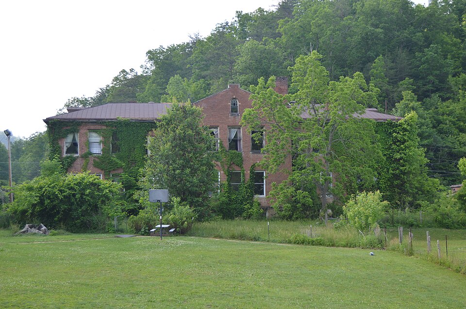
| July 2021 | Flash Flood | Frenchburg | $2,000,000 | The city of Frenchburg was heavily hit by flash flooding, as flood waters reached into homes and businesses within the community. The Dollar General, County Garage, Headstart, and School Board office buildings were all reported flooded. The middle school and alternative school buildings experienced major flooding. In additional, ten residential houses along KY-36, which have never seen high water issues, were also flooded. |
| March 1997 | Flash Flood | Frenchburg | $1,000,000 | no account filed |
| March 1997 | Flash Flood | Frenchburg | $1,000,000 | no account filed |
| March 1997 | Thunderstorm Wind | Frenchburg | $20,000 | no account filed |
| January 2012 | Thunderstorm Wind | Frenchburg | $10,000 | Trees were down and onto power lines in the Tarr Ridge area. |
| May 2024 | Thunderstorm Wind | Frenchburg | $5,000 | Reports of trees and power lines down throughout the county. |
| June 2004 | Flash Flood | Frenchburg | $5,000 | One resident was trapped in their home from rising water. The driveway washed out with up to eight feet of flowing water. Water was over a fence and large logs were flowing across it. |
| April 2011 | Thunderstorm Wind | Frenchburg | $4,000 | There were trees down along County Park Road off of Hwy 460. |
| January 2006 | Thunderstorm Wind | Frenchburg | $3,000 | Trees down in road on Highway 746. Power out in Pomeroyton. |
| March 1997 | Tornado (F0) | Frenchburg | $3,000 | Most of the damage in the area was caused by straight line winds. However, a small tornado also briefly touched down. |
| January 2022 | Thunderstorm Wind | Frenchburg | $2,000 | A tree fell on power lines in the town of Frenchburg. |
| June 2022 | Thunderstorm Wind | Frenchburg | $2,000 | Numerous trees were blown down in and around Frenchburg and throughout the county. This led to some power outages. |
| January 2008 | Thunderstorm Wind | Frenchburg | $2,000 | Two trees were blown down on Ratliff Creek Road by wind gusts estimated at 61 mph. |
| August 2007 | Thunderstorm Wind | Frenchburg | $2,000 | Two trees blown down, one was over the road on Route 77. |
| July 2023 | Thunderstorm Wind | Frenchburg | $1,000 | A tree was reported to have been blown down onto a powerline, leading to the powerline being torn from the pole just SE of Frenchburg. |
| July 2015 | Flash Flood | Frenchburg | $1,000 | Kentucky Hwy 713 was closed due to flooding. |
| June 2010 | Thunderstorm Wind | Frenchburg | $1,000 | A tree was blown down along Hizer Hill Road near Frenchburg. |
| May 2009 | Thunderstorm Wind | Frenchburg | $1,000 | Dispatch reported a tree down on Hwy 460 at Shotgun Hollow near Frenchburg. |
| June 2008 | Thunderstorm Wind | Frenchburg | $1,000 | A power line was downed by thunderstorm wind gusts. |
| July 2008 | Thunderstorm Wind | Frenchburg | $1,000 | A tree was blown down across Tom Stamper Road. |
| April 2007 | Thunderstorm Wind | Frenchburg | $700 | Tree down across Highway 1274. |
| August 2023 | Thunderstorm Wind | Frenchburg | - | A tree was blown down by thunderstorm winds near 90 Indian Creek Road at the west end of the city of Frenchburg. |
| July 2023 | Thunderstorm Wind | Frenchburg | - | A tree was blown and across one lane of State Road 1274 near State Route 36 near Frenchburg. |
| July 2023 | Hail | Frenchburg | - | The Montgomery County EM was visiting Menifee County, and reported 1 inch hail starting at the intersection of 460 and KY-36, and running northeast along KY-36 to the intersection of KY-3 and Old Beaver Road. |
| February 2021 | Flash Flood | Frenchburg | - | Multiple spots on Hwy 1274 had water flowing over the road. Road was shut down as a result. |
| July 2021 | Flash Flood | Frenchburg | - | US-460W is closed by the Family Dollar due to flash flooding making the road impassable. |
| July 2021 | Flash Flood | Frenchburg | - | Adams Branch road is impassable and closed due to flash flooding. |
| July 2021 | Flash Flood | Frenchburg | - | Video on social media shows homes surrounded by water along Adams Branch Road near Frenchburg, along with vehicles submerged in the water. |
| July 2020 | Thunderstorm Wind | Frenchburg | - | Dispatch reported a few trees downed near Frenchburg. |
| July 2018 | Thunderstorm Wind | Frenchburg | - | Winds from a microburst, estimated at 100 to 110 mph, felled numerous trees and large branches in and just northeast of Frenchburg. The damage began just east of Kentucky Highway 36 near the water treatment plant, and ended east of Highway 36 near a salt storage structure, where the thick tarp covering of the structure was damaged. Some damage was also noted just west of Highway 36, including downed power lines resulting in the closure of the highway for several hours. Some shingles were blown off of a small shed, and metal roofing was peeled off of the roof of a house. The most intense damage occurred along a 125 yard stretch just south of Sorrell Road to Beaver Creek, where estimated winds of 100 to 110 mph broke trunks and uprooted several hardwood trees. |
| September 2018 | Flood | Frenchburg | - | Emergency Management reported lingering flooding late Sunday evening into early Monday, forcing several roads to remain closed for a period of time. |
| April 2017 | Hail | Frenchburg | - | Penny to nickel sized hail was reported near Frenchburg. |
| June 2015 | Thunderstorm Wind | Frenchburg | - | A tree was blown down on Stonequarry Road. |
| July 2015 | Thunderstorm Wind | Frenchburg | - | A tree was blown down in Frenchburg. |
| October 2014 | Thunderstorm Wind | Frenchburg | - | A tree was blown down on Hwy 1274 near Frenchburg. |
| October 2014 | Thunderstorm Wind | Frenchburg | - | Trees were blown down 3 miles north of Frenchburg. |
| August 2014 | Thunderstorm Wind | Frenchburg | - | Several trees were blown down and across Hwy 36. |
| May 2013 | Thunderstorm Wind | Frenchburg | - | Numerous trees were blown down in Frenchburg and around the county. |
| March 2012 | Hail | Frenchburg | - | Golf ball size hail covered the ground in Frenchburg. |
| July 2012 | Thunderstorm Wind | Frenchburg | - | Trees were blown down at Adams Branch and on Hwy 36 at Craigs Hill. |
| July 2012 | Thunderstorm Wind | Frenchburg | - | Trees were blown down on Adams Branch Rd and on Hwy 36. |
| March 2011 | Hail | Frenchburg | - | The hail covered the ground. |
| March 2011 | Hail | Frenchburg | - | The hail covered the ground. |
| March 2011 | Hail | Frenchburg | - | There was lots of dime sized hail with some penny sized hail mixed in covering the ground. The hail lasted 5 to 7 minutes. |
| May 2010 | Heavy Rain | Frenchburg | - | A volunteer weather observer reported that 5.35 inches of rain had fallen near Frenchburg since 8 am. |
| May 2010 | Flash Flood | Frenchburg | - | Highway 460 west near Means was closed as well as several other roads throughout Menifee county. Two shelters were set up for an undeterminable number of residents threatened by the flooding. One shelter was at Means and the other at Big Woods. |
| February 2009 | Hail | Frenchburg | - | One inch hail was observed along with high winds and 100 foot visibility. |
| April 2008 | Flash Flood | Frenchburg | - | Highway 1274 at Hog Branch had approximately 1 foot of water running over it. |
| July 2006 | Thunderstorm Wind | Frenchburg | - | Three trees down in northwest part of county. |
| July 2006 | Thunderstorm Wind | Frenchburg | - | Two trees across Highway 460. |
| August 2006 | Thunderstorm Wind | Frenchburg | - | One tree and several large limbs blown down. |
| September 2006 | Flash Flood | Frenchburg | - | Highway 460 West closed for flash flood. Route 36 had water over road with water close to homes but not flooding. |
| September 2006 | Thunderstorm Wind | Frenchburg | - | Tree down in Frenchburg, Highway 1276 near Beaver, and Highway 746 near Pomeroyton. |
| September 2006 | Thunderstorm Wind | Frenchburg | - | County dispatch office reported a tree down in Frenchburg and another tree down along Highway 1274 northeast of Frenchburg. |
| June 2005 | Thunderstorm Wind | Frenchburg | - | Several trees down across roads in eastern portion of county. |
| June 2004 | Hail | Frenchburg | - | One inch diameter hail was reported on United States Route 460. |
| August 2004 | Thunderstorm Wind | Frenchburg | - | Power lines and several trees down on ridgetops. |
| August 2003 | Flash Flood | Frenchburg | - | Water was out of the banks of Slade Creek at Menifee County High School. Water was up to the frame of a parked school bus and surrounded portable classrooms. One foot of water was in nearby yards. |
| August 2003 | Flash Flood | Frenchburg | - | Route 1274 was closed due to high, flowing water. |
| May 2003 | Hail | Frenchburg | - | Three quarter inch diameter hail occurred on McCausey Ridge. |
 Block