 Block
From the record
48 National Register listings published here.
Sources: the National Register database, National Park Service
48 topographic sheets and 7 fire insurance atlases across 1 place.
48 National Register listings published here.
Sources: the National Register database, National Park Service
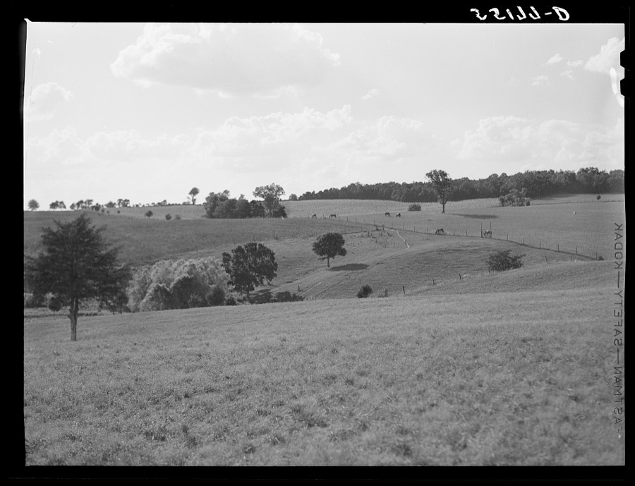
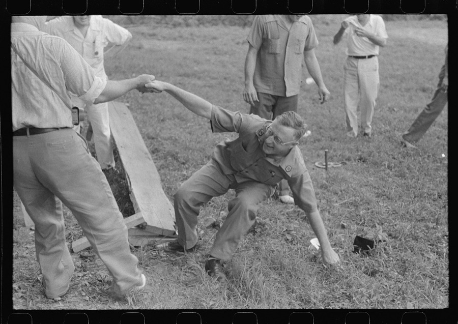
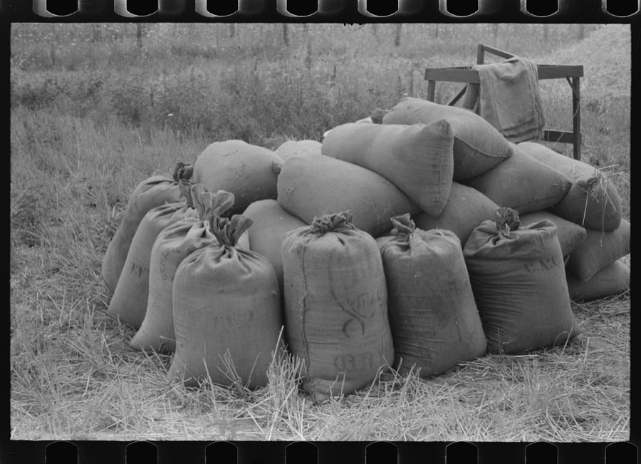
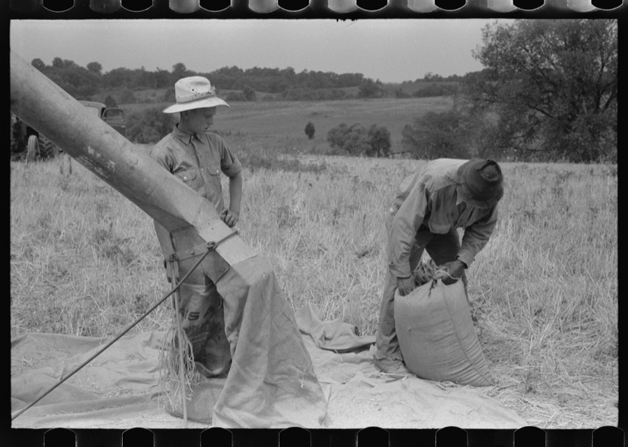
Taken for the Office of War Information and the Farm Security Administration, who photographed the country between 1935 and 1944. Works of United States government photographers, with no known restriction on use. Each opens its catalogue record.
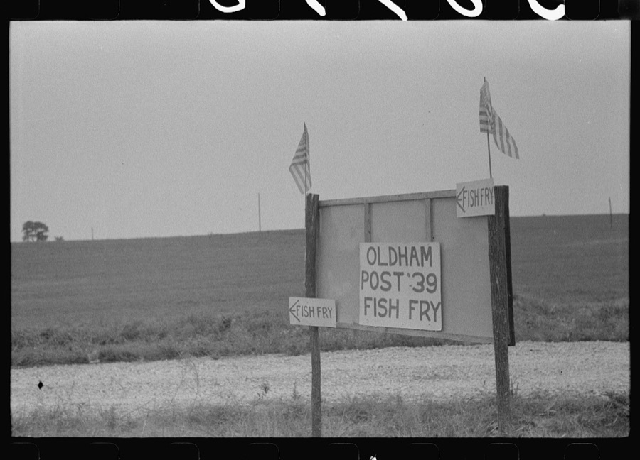
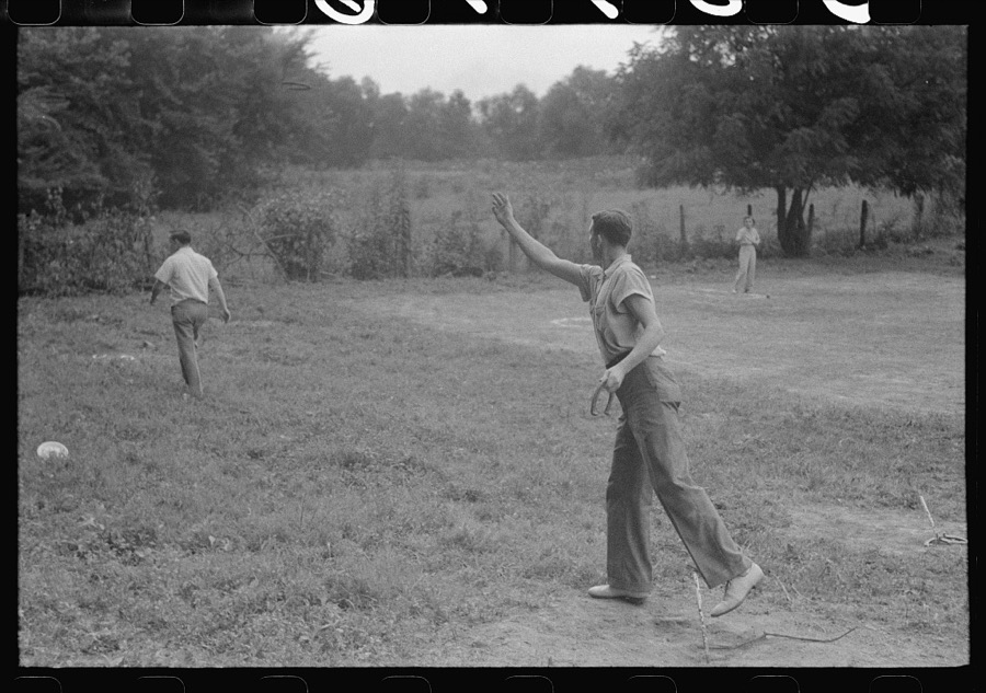
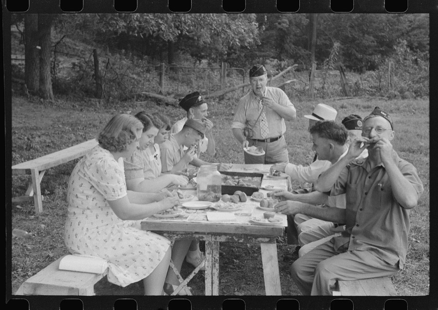
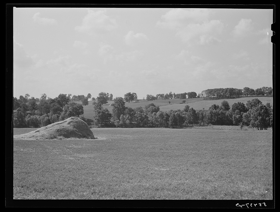
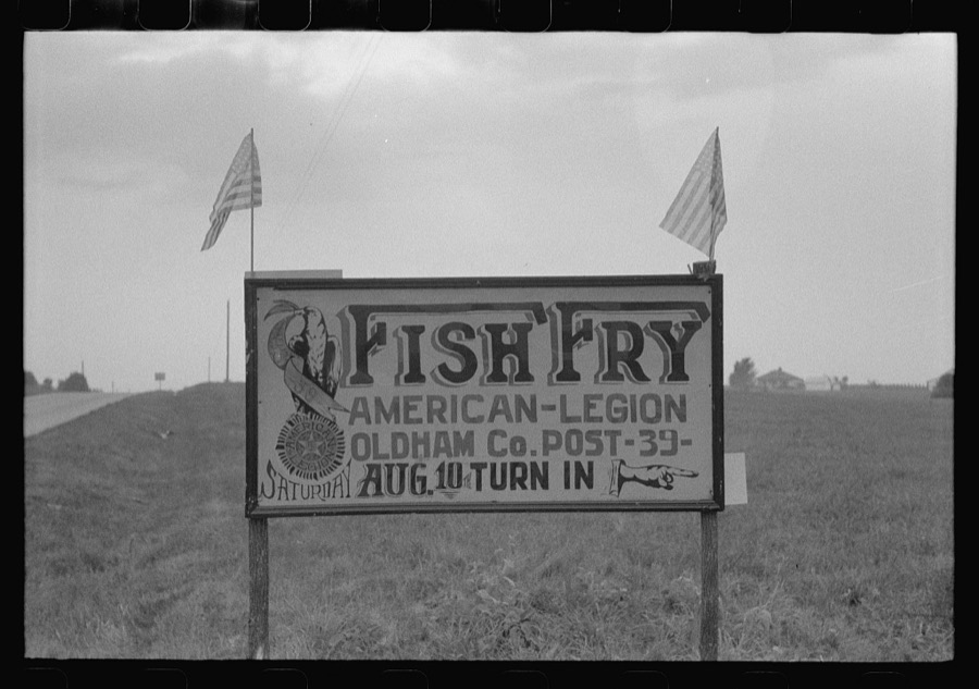
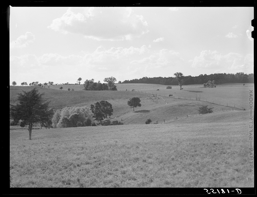
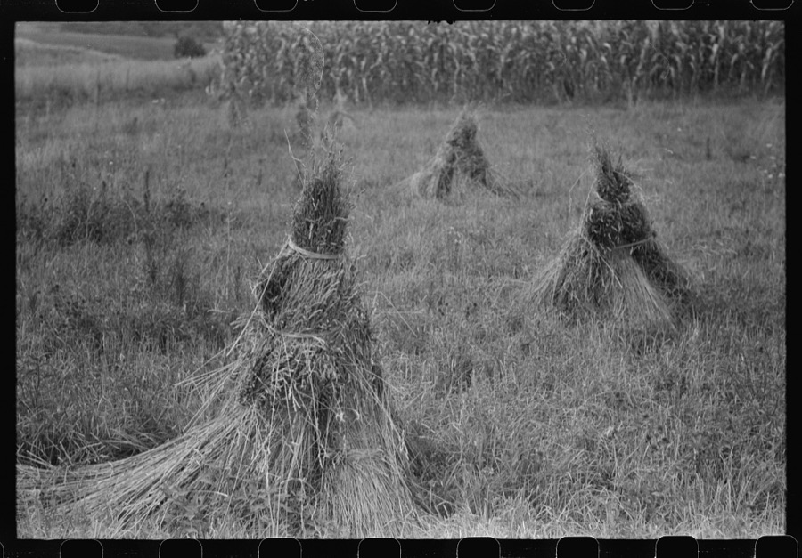

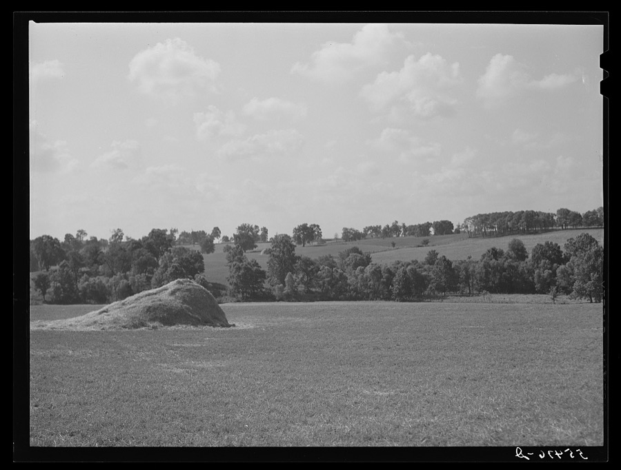







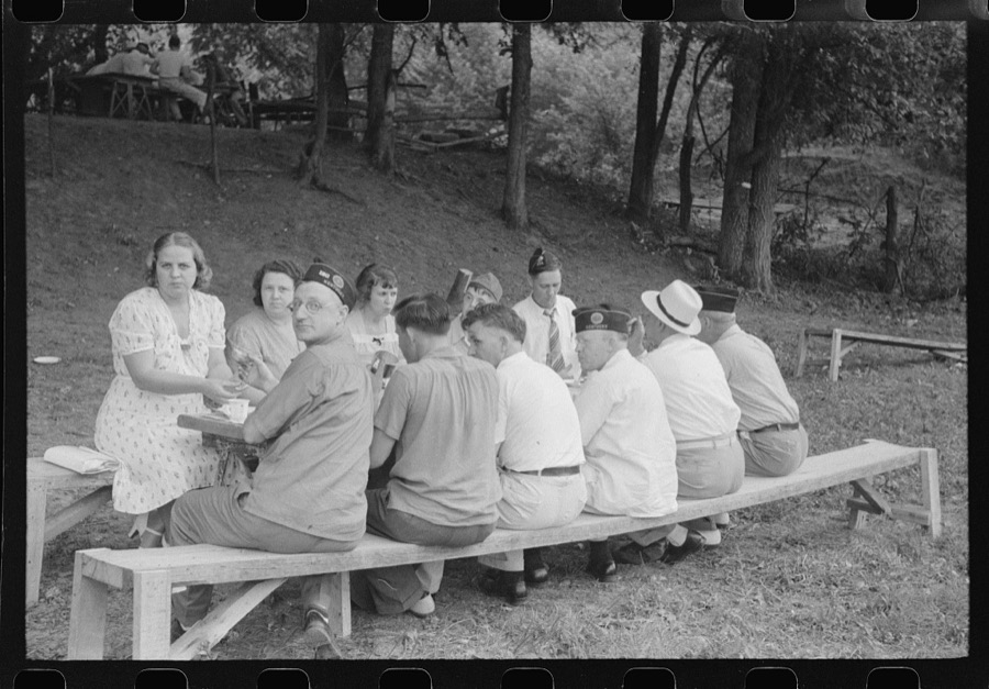
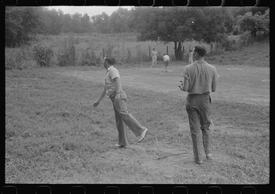
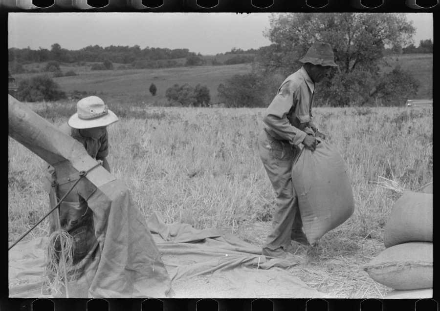

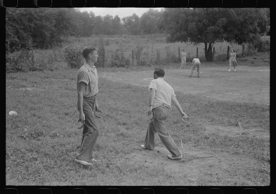

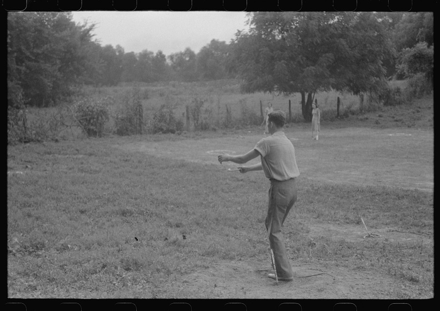


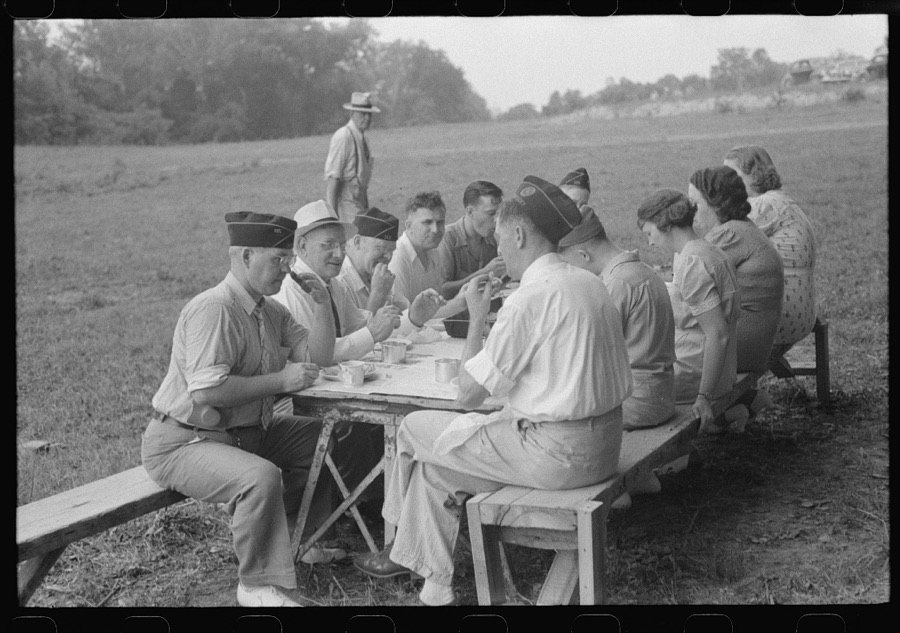

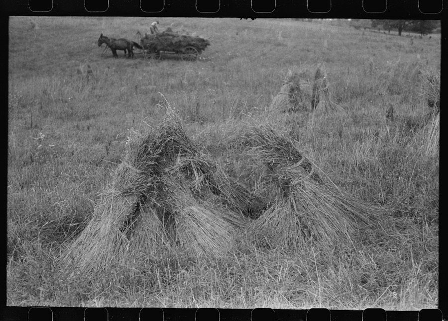
Every property in this county listed on the National Register of Historic Places, with the year it was listed and the federal nomination document.
| Photograph | Property | Type | Listed | Reference |
|---|---|---|---|---|
| Ashbourne Farms | district | 2008 | 08000212 | |
| Ashwood Avenue Historic District | district | 1989 | 89000951 | |
| John Leslie Bate House | building | 1987 | 87000144 | |
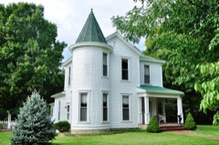 | Bondurant-Hustin House | building | 1989 | 89001989 |
| Bradshaw-Duncan House | building | 2005 | 05000254 | |
| Building at 301 La Grange Road | building | 1989 | 89001980 | |
| Carpenter-Smith House | building | 1982 | 82002739 | |
| Central Avenue Historic District | district | 1989 | 89000950 | |
 | Central La Grange Historic District | district | 1988 | 88001316 |
| Clifton | district | 1997 | 97000874 | |
| Albert E. Clore House | building | 1983 | 83002842 | |
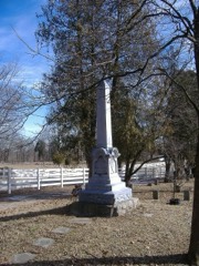 | Confederate Memorial in Peewee Valley | object | 1997 | 97000673 |
| Joseph H. Ellis House | building | 1989 | 89001988 | |
| Forrester-Duvall House | building | 1989 | 89001987 | |
| D. W. Griffith House | building | 1976 | 76000935 | |
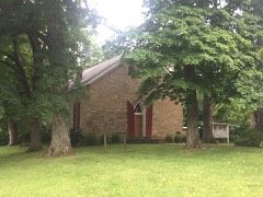 | Harrods Creek Baptist Church and Rev. William Kellar House | building | 1976 | 76000934 |
| Hermitage, The | building | 1982 | 82001572 | |
| William Ingram House | building | 1983 | 83002843 | |
| Johnson's Landing House and Farm | building | 2016 | 16000505 | |
| Abraham Kellar House | building | 1979 | 79001029 | |
| Locke-Mount House | building | 1982 | 82001573 | |
| Locust, The | building | 1975 | 75000817 | |
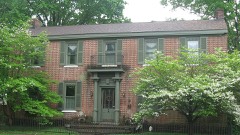 | McMahan House | building | 1982 | 82002741 |
| William McMakin House | building | 1987 | 87000211 | |
| George Miller House | building | 1989 | 89001986 | |
| Dr. Thomas C. Peebles House | building | 1989 | 89001985 | |
 | Peewee Valley Confederate Cemetery | site | 1989 | 89001984 |
| John Ritter House | building | 1987 | 87000159 | |
| Ross-Hollenbach Farm | district | 2008 | 08000651 | |
| Russell Court | district | 1988 | 88002612 | |
 | Saint James' Episcopal Church | building | 1985 | 85003072 |
| Reuben Sale House | building | 1982 | 82001574 | |
| William Alexander Smith House | building | 1989 | 89001982 | |
| Spring Hill | building | 1980 | 80001664 | |
 | St. Aloysius Church | building | 1989 | 89001983 |
| Tanglewood | building | 1989 | 89001981 | |
| Phillip R. Taylor House | building | 1983 | 83002844 | |
| Tuliphurst | building | 1989 | 89001979 | |
| Van Horn-Ross House | building | 1989 | 89001978 | |
| Waldeck Farm | district | 2001 | 00001618 | |
| Wesley Methodist Church | building | 1987 | 87000179 | |
| Wildwood Farm | district | 2006 | 06000214 | |
| Woodland | building | 2016 | 16000506 | |
 | Wooldridge-Rose House | building | 2006 | 06000810 |
| William Woolfolk House | building | 1987 | 87000202 | |
| Yager House | building | 1982 | 82002740 | |
| Yew Dell Farm | district | 2011 | 11000540 | |
| Yewell-Snyder House | building | 1983 | 83003802 |
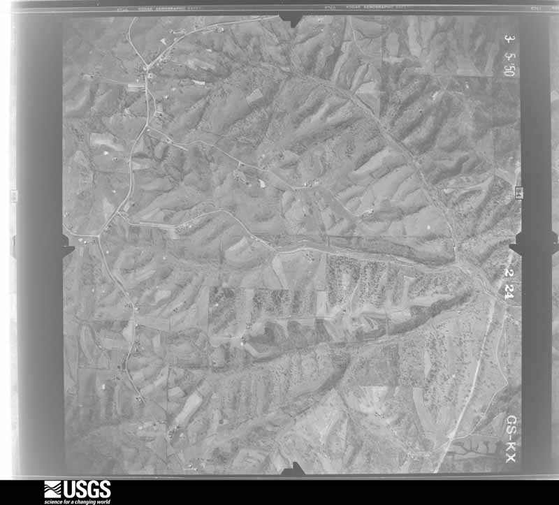
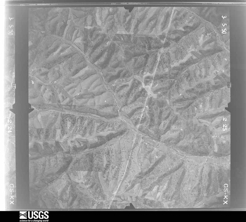
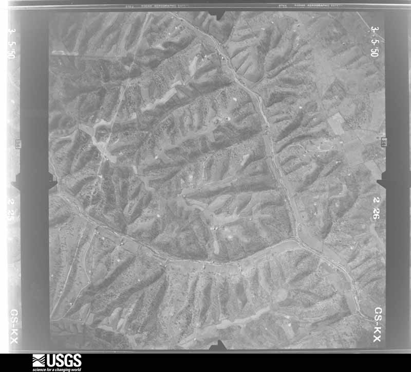
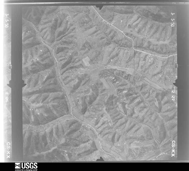
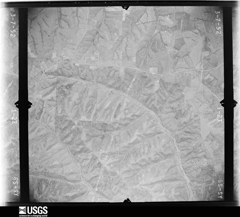
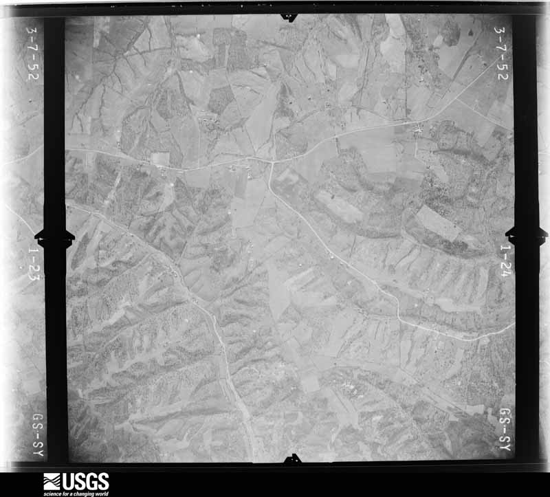
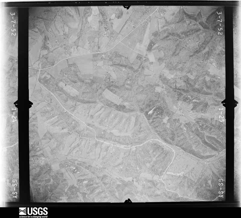
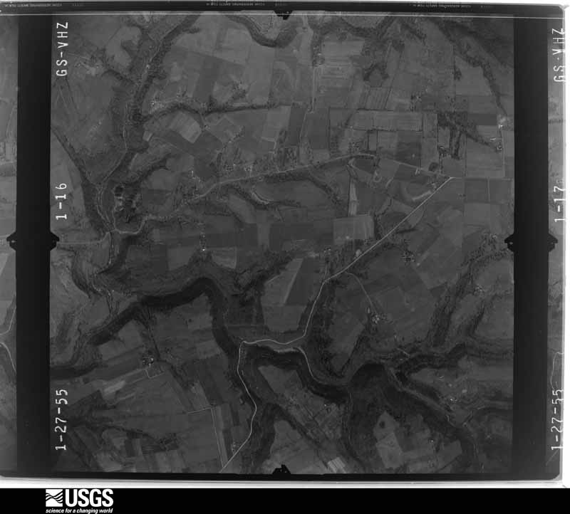
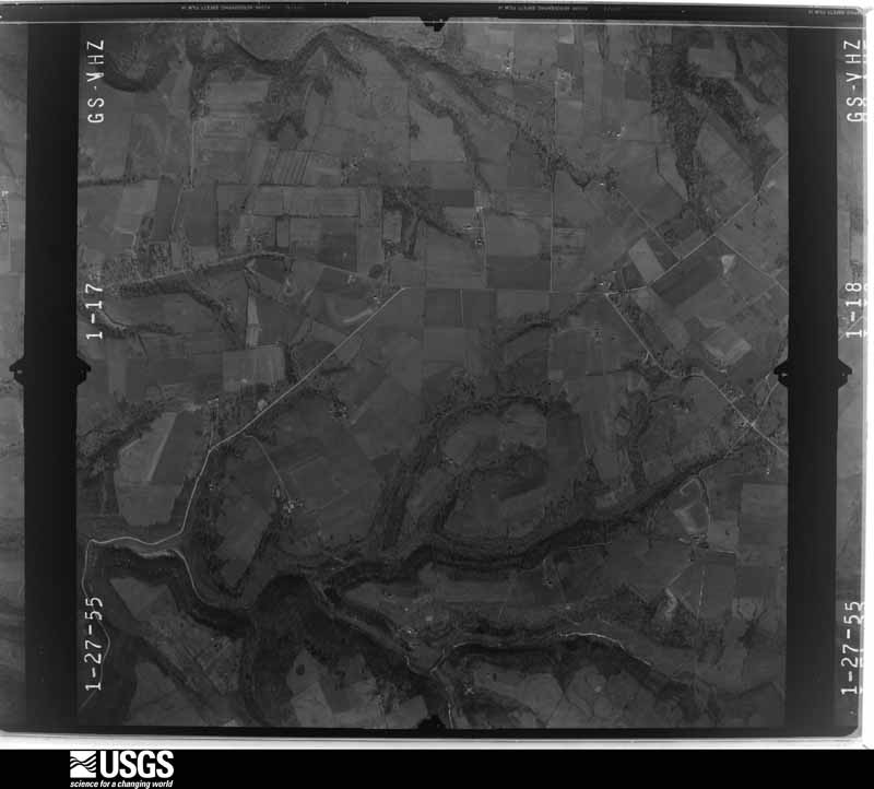
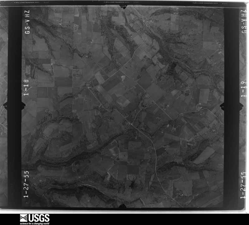
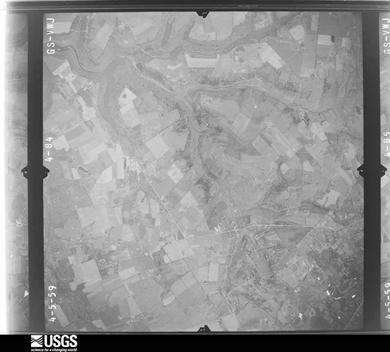
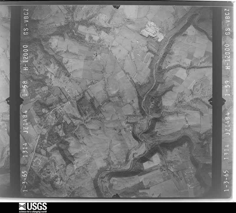
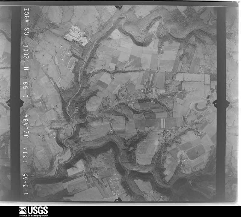
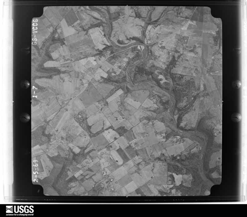
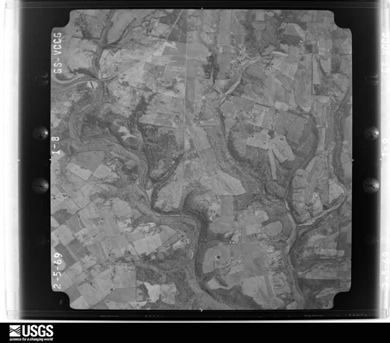
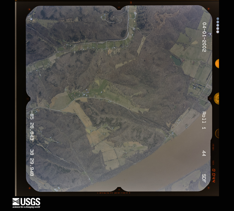
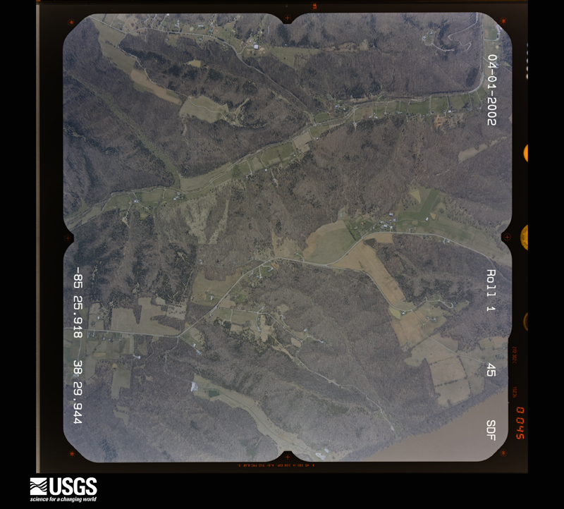
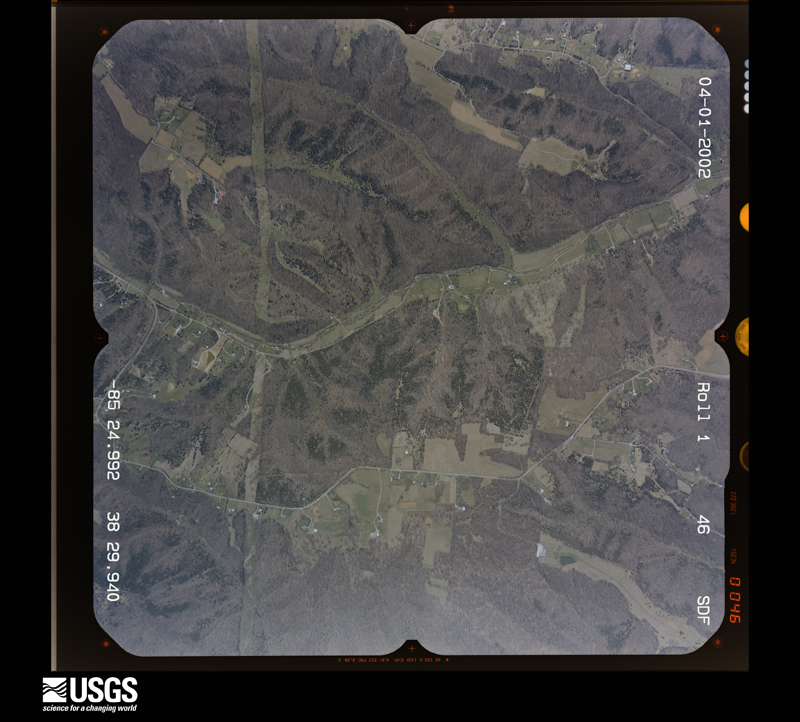
Flown by the U.S. Geological Survey between 1937 and 1989, the Aerial Photo Single Frames collection is the definitive mid-century view of the land: fields, roads and rivers as the camera saw them. The Survey holds 1,086 frames inside the rectangle that bounds this county; the 42 frames below were taken over the county itself, chosen across the decades of flights (at most four a year from that rectangle), so one flight cannot crowd out the rest. The full set is free to browse and download at EarthExplorer under the dataset Aerial Photo Single Frames.
























The thermometers that kept this county's weather, and the gages that measured the flow of its streams, as the federal records hold them. The extremes below are measured values from those records, not estimates.
Who lived here in 1950, one enumeration district at a time, as the Census Bureau described each district. Each row opens its official National Archives result, with Population Schedules and ED Maps available there.
Every wildfire the federal occurrence database records inside this county: 1 of them, burning about 25 acres. None started naturally and none was recorded as arson. Each settlement page carries the fires within five miles of it.
| Reported cause | Fires |
|---|---|
| Missing data/not specified/undetermined | 1 |
The five largest, by the area the report gives. None of them was recorded as arson.
| Date | Cause | Size | Reported by | Name on the report |
|---|---|---|---|---|
| 15 March 2000 | Missing data/not specified/undetermined | 25 acres | Kentucky Division of Forestry | not named |
Every settlement page carries the fires within five miles of it - see the settlement index below.
The NOAA Storm Events Database holds 327 reports for this county, causing no deaths, 8 injuries and about $4,434,250 in recorded property damage. Each settlement page carries the reports that name it.
| Kind of event | Reports |
|---|---|
| Thunderstorm Wind | 184 |
| Hail | 72 |
| Flash Flood | 45 |
| Tornado | 12 |
| Heavy Rain | 5 |
| Lightning | 4 |
| Flood | 4 |
| Funnel Cloud | 1 |
The most serious of them, by death, then injury, then recorded damage. The accounts are quoted exactly as the forecast office filed them.
| When | Event | Place named | Harm | What the report says |
|---|---|---|---|---|
| June 1990 | Tornado (F3) | not stated | 5 hurt, $2,500,000 | no account filed |
| June 1998 | Thunderstorm Wind | La Grange | 2 hurt, $20,000 | no account filed |
| July 2012 | Lightning | Harmony Vlg | 1 hurt | Lightning struck a group of people out on the Ohio River, injuring one of them. |
| June 1995 | Tornado (F0) | Westport | $500,000 | A downburst and a small F0 tornado damaged a few outbuildings and downed numerous trees. Winds mostly appear to be straight-line, however some circulation is evident in the debris path. A firefighter with the Westport Volunteer Fire Department saw a funnel cloud touch down at 18 Mile Creek Road. It then followed Kentucky 524 North through town. Many other residents report seeing the tornado. |
| September 1980 | Tornado (F1) | not stated | $250,000 | no account filed |
| April 2017 | Tornado (EF1) | Harmony Vlg | $200,000 | A tornado developed in a new subdivision in Goshen, KY. The tornado traveled along a 1 mile path to the ENE. Numerous trees were snapped or uprooted along the path. A couple of houses and two church buildings sustained roof damage. Power lines and power poles were downed along the path as well. |
| June 1998 | Lightning | Westport | $200,000 | no account filed |
| April 2019 | Tornado (EF1) | Frazertown | $100,000 | An EF-1 tornado tracked 8.3 miles across Oldham County with a maximum path width of 300 yards. The tornado mostly did damage to the upper halves of several trees along its path. There were a couple of areas where it fully descended to the surface and caused more widespread damage. Along Shelburn Dr, a front porch with four columns was lifted, collapsing the columns and throwing the front half of the roof 100 yards to the northeast. The last visible damage was on Georgie Way, occurring 9 minutes after the start time. |
| May 1998 | Thunderstorm Wind | Goshen | $100,000 | no account filed |
| August 2013 | Thunderstorm Wind | Buckner | $75,000 | Local media reports of multiple trees and power lines downed were confirmed by a damage survey along State Highway 146 between Buckner and La Grange. The survey found two enhanced damage paths brought about by wet microbursts. The first damage swath was noted along a two mile path along State Highway 146 south of Buckner. Estimated winds of 70 to 75 mph knocked down numerous trees, large limbs, power poles, electrical lines, and caused some roof damage to barns and homes. Several telephone poles were snapped along the railroad parallel to KY 146.||The second area of damage developed just downstream of the first area. Several trees were knocked over along State Highway 146 between Kings Lane and Button's Lane. Winds were estimated as between 60 and 65 mph. |
| December 2015 | Thunderstorm Wind | Harmony Vlg | $60,000 | Oldham County law enforcement reported that a house fell off its stilts due to the severe thunderstorm winds. |
| June 2018 | Tornado (EF0) | Frazertown | $50,000 | This tornado touched down at the entrance of Westport Woods Apartments in Jefferson County. After exiting the Forest Spring North subdivision, the tornado lifted briefly before dropping back down on the east side of Pewee Valley near Five Forks Drive. Near Manassas Drive a trampoline was thrown 60 yards and a large sycamore tree was uprooted next to an air conditioner that was thrown to the north. The tornado then increased in strength and uprooted several trees along Hawley Gibson Road. One resident lost twenty softwood and hardwood trees. The tornado lifted just east of Hawley Gibson Road, twisting several trees on a farm there. |
| March 2017 | Thunderstorm Wind | Goshen | $50,000 | A NWS Storm Survey concluded that straight line winds resulted in numerous trees were snapped over a fairly wide area, though the swath of damage was riddled with many trees that withstood the wind. The most concentrated damage was along Buckhorn Lane where a row of trees lining the road were blown down. Another concentrated area was at the end of Secretariat Drive, next to a wide-open field where several trees fell around a property. One tree fell into a garage door, causing both a branch to poke through the 2nd floor siding into the house and damaging the back side of a car. |
| April 2017 | Thunderstorm Wind | Goshen | $50,000 | Power poles were broken, reported by mPing. |
| May 2002 | Thunderstorm Wind | La Grange | $50,000 | Trees were blown on to vehicles. |
| April 2019 | Thunderstorm Wind | Glenarm | $30,000 | Trees were blown down, and roofs were damaged in Crestwood, Kentucky. |
| March 2017 | Thunderstorm Wind | Skylight | $25,000 | The public reported that severe thunderstorm winds brought down several trees and power lines on Shiloh Lane. |
| August 2017 | Thunderstorm Wind | Goshen | $25,000 | A large tree was blown onto the roof of a home, exposing the attic. |
| April 2016 | Thunderstorm Wind | Ballardsville | $25,000 | More damage was surveyed in the Grand Dell subdivision where several trees fell, mostly toward the east and some properties were damaged. |
| June 1974 | Tornado (F1) | not stated | $25,000 | no account filed |
| October 2014 | Tornado (EF1) | Westport | $20,000 | A tornado touched down briefly just southeast of Westport in northern Oldham County. It stayed on the ground for only 200 yards and was 50 yards wide at its widest. It toppled two trees and snapped large limbs off of several others. It also damaged a barn and several outbuildings. Maximum estimated winds ranged from 75 to 90 mph. |
| July 2004 | Thunderstorm Wind | La Grange | $20,000 | The chimney of a house was blown off. |
| July 2018 | Thunderstorm Wind | Brownsboro | $15,000 | Trees and power lines were reported down at 7511 Highway 329 in Crestwood. |
| August 2009 | Thunderstorm Wind | Goshen | $8,000 | A tree fell on a house on Narmony Landing Road. The occupants were trapped inside. |
| March 2007 | Lightning | La Grange | $5,000 | A storm spotter reported unspecified lightning damage to a home. |
| October 2007 | Thunderstorm Wind | Westport | $5,000 | Straight line winds destroyed an old barn and uprooted some trees near the Trimble County line. |
| August 2006 | Thunderstorm Wind | Crestwood | $5,000 | Power lines were downed and a railroad crossing gate was broken by thunderstorm winds. |
| July 2009 | Thunderstorm Wind | La Grange | $4,000 | Trees were downed along the length of Highway 42 in Oldham County. Trees were also downed in the La Grange area. |
| April 2015 | Thunderstorm Wind | Pewee Vly | $3,000 | Broadcast media reported a large porch roof blown across a homeowner's property with large tree limbs downed as well. |
| July 2013 | Heavy Rain | Westport | $3,000 | The Kentucky Mesonet measured 1.74 inches of rain in around 50 minutes. This contributed to a small rockslide that briefly closed State Highway 524 just southeast of Westport. |
| July 2009 | Lightning | Glenarm | $3,000 | Lightning caused damage to electrical system in two homes but did not start fires. |
| July 2012 | Hail | Harmony Vlg | $2,000 | Local law enforcement reported that a combination of 1 inch hail and wind broke a few windows of several homes along Victory Lane. |
| May 2018 | Thunderstorm Wind | La Grange | $1,000 | A large tree limb broke a window out of a semi tractor on Interstate 71 southbound at the 24 mile marker. |
| February 2011 | Thunderstorm Wind | Glenarm | $1,000 | Trees were blown down and four columns blown off a house. Windows were also blown out of a car. |
| February 2011 | Thunderstorm Wind | Bonham | $1,000 | Trees were blown down along with power lines and a power pole was damaged between Crestwood and Ballardsville. |
| June 2002 | Thunderstorm Wind | Goshen | $1,000 | Several trees were blown down. There was also minor unspecified property damage reported. |
| May 1996 | Thunderstorm Wind | Buckner | $1,000 | no account filed |
| May 1994 | Hail | Buckner | $500 | Dime sized hail was reported by a ham radio operator in Buckner. |
| July 1994 | Thunderstorm Wind | not stated | $500 | High winds downed trees and power lines near Highways 42 and 1793. |
| April 1974 | Tornado (F4) | not stated | $250 | no account filed |
| April 2026 | Thunderstorm Wind | Worth | - | A newer pole barn type outbuilding was blown apart and leveled on Old Hanna Road. |
| April 2026 | Thunderstorm Wind | La Grange | - | There were several trees down and a few uprooted in the Crystal Lake Subdivision. |
| April 2026 | Thunderstorm Wind | La Grange | - | A tree split and fell on a residential shed. |
| April 2025 | Thunderstorm Wind | La Grange | - | A tree fell over South 1st Avenue near Interstate 71. |
| March 2025 | Thunderstorm Wind | Brownsboro | - | Power lines were down near Interstate 71. |
| March 2025 | Hail | Goshen | - | Up to two inch diameter hail was observed in Goshen. |
| March 2025 | Hail | Skylight | - | Ping pong ball sized hail was observed along US Route 42. |
| March 2025 | Hail | Westport | - | Quarter sized hail was observed between La Grange and Westport. |
| May 2025 | Thunderstorm Wind | La Grange | - | A tree was blown down by strong winds on the 100 block of East Main Street in La Grange. |
| May 2025 | Thunderstorm Wind | Glenarm | - | A tree was blown down, blocking the road near the 5500 block of Kentucky Route 146 between Crestwood and Buckner. |
| May 2025 | Thunderstorm Wind | La Grange | - | A tree was blown down, blocking two lanes of southbound Interstate 71. |
| February 2025 | Flash Flood | Crestwood | - | Flash flooding reported near Crestwood. |
| April 2025 | Thunderstorm Wind | Brownsboro | - | Dispatch reported a tree and wires down in the roadway. |
| June 2025 | Thunderstorm Wind | Goshen | - | Multiple trees, powerlines, and a utility pole were downed around Goshen Lane, likely from a microburst. |
| February 2025 | Flash Flood | Pewee Vly | - | Water was flowing over the 9200 block of Ash Avenue. |
| July 2025 | Thunderstorm Wind | Demlytown | - | A tree was blown down along North Cedar Point Road northwest of Buckner. |
| July 2025 | Flash Flood | Pewee Vly | - | Portions of Ash Avenue flooded near Pewee Valley. |
| April 2024 | Tornado (EF1) | Belknap Beach | - | The National Weather Service in Louisville surveyed storm damage in southeast Clark County IN, through far northeast Jefferson KY, and into western Oldham County. Specifically the tornado traveled just southeast of the Clark County Indiana Airport, east through Utica, crossing the Ohio River into Prospect, and lifting just east of the Sleepy Hollow Golf Course in Oldham County. The tornado was its strongest in Jefferson County, KY where it was an EF2 with 120 mph winds and 450 yards wide.||Oldham County... The tornado exited Jefferson County and continued east over the Harrods Creek Dam and into the Hidden Creek neighborhood. Many trees were uprooted, barns took damage to the overhead doors and sheet metal, and homes incurred some roof damage. The damage indicated that the tornado weakened to a lower end EF1, with a maximum wind of 90 mph, and a width of 200 yards. ||The tornado continued to weaken as it moved parallel to Sleepy Hollow Road. Trees along this road and over the Sleepy Hollow Golf Course were uprooted or topped and barns incurred various structural damage. The damage indicated that the tornado was an EF0, with maximum winds of 80 mph and width of 125 yards. ||The tornado lifted along Highway 329 as the parent storm occluded and formed a new tornado to the north. |
| April 2024 | Tornado (EF2) | Devondale | - | The National Weather Service in Louisville surveyed storm damage north of Buckner, Kentucky near New Cut Road. The team followed the concentrated storm damage into the Heather Ridge and Grand Villa neighborhoods, and east of Oldham County High School.||The tornado touched down on Halls Hill Road north of New Cut Road, where a few trees were leaning on power lines. This damage was a result of an EF0 tornado with a wind speed of 70 mph.||From Halls Hill Road, the tornado moved east into the Heather Ridge neighborhood. The west half of the neighborhood incurred EF1 95 mph winds, which led to many uprooted or topped trees and minor roof damage. At this point, the tornado strengthened to an EF2 with 115 mph winds while moving into the eastern half of the |neighborhood. Garage doors were inverted or blown off their track, windows were blown out, large portions of roof structures were compromised, mud and insulation were spread all over cars and homes, wood from roof structures was impaled into the ground several feet, and trees were uprooted or snapped. One homeowner was able to catch the tornado with his home security system. Another homeowner explained the terrifying sound of the wind as they took shelter in their basement. ||From the Heather Ridge neighborhood, the tornado continued into the Grand Villa neighborhood where it weakened to an EF1 tornado with 100 mph winds. In this neighborhood, numerous trees were uprooted and one home had an inverted garage door. ||The tornado then continued over Oldham County High School where the roof HVAC system was blown to the ground and a street light was bent. Across the street, a metal warehouse took some roof damage and the garage doors were inverted. At this point, the tornado was an EF1 at 90 mph. ||East of the high school, the tornado weakened to an EF0 at 80 mph where a church took damage to the steeple and large limbs were snapped. A large open faced metal RV storage building took damage to the roof and walls. ||The tornado then weakened as it crossed I-71, leading to some topped trees in the interstate median. The tornado lifted on the southeast side of the interstate. |
| July 2024 | Thunderstorm Wind | Goshen | - | A few trees were uprooted by strong winds and a street light was brought down along Club Drive. |
The Survey's mineral resources record lists 7 workings inside this county. 5 still produce and 2 are closed or unrecorded. Each settlement page carries the workings within five miles of it.
| Commodity | Workings |
|---|---|
| Stone, Crushed/Broken | 4 |
| Sand and Gravel, Construction | 3 |
The least common of them first, because a county's hundredth gravel pit says nothing its first ten did not.
| Where | Site | Commodity | Status | Recorded |
|---|---|---|---|---|
| Dredge No. 6 | Sand and Gravel, Construction | Producer | ||
| Harmony Landing | Sand and Gravel, Construction | Past Producer | ||
| Hel Del Dredge | Sand and Gravel, Construction | Producer | ||
| Crestwood Mine Underground | Stone, Crushed/Broken | Producer | ||
| Crestwood Quarry | Stone, Crushed/Broken | Unknown | ||
| Joe Clark Mine | Stone, Crushed/Broken | Producer | ||
| Oldham County Stone | Stone, Crushed/Broken | Producer |
Named settlements recorded in the Geographic Names Information System, each with the topographic sheets covering it. Villages, hamlets and abandoned places alike. Each is shown with the nearest named watercourse or landform and the survey quadrangle it falls on. The 1 place that was also surveyed for fire insurance comes first, with the number of atlases and photographs held for them.
La Grange census division · 40031 · La Grange quadrangle
12 sheets, 1932 to 1986
Fire insurance: 7 atlases
La Grange census division · 40014 · On Camp Creek · Ballardsville quadrangle
10 sheets, 1932 to 1986
Pewee Valley census division · 40059 · On Little Huckleberry Creek · Owen quadrangle
17 sheets, 1905 to 1986
Pewee Valley census division · 40031 · On Cedar Creek · La Grange quadrangle
12 sheets, 1932 to 1986
Pewee Valley census division · 40014 · On Darby Fork · La Grange quadrangle
12 sheets, 1932 to 1986
La Grange census division · 40031 · Crestwood quadrangle
12 sheets, 1932 to 1986
No longer a settlement
Pewee Valley census division · 40014 · On Ashers Run · Crestwood quadrangle
12 sheets, 1932 to 1986
Pewee Valley census division · 40014 · On North Fork Currys Fork · Crestwood quadrangle
12 sheets, 1932 to 1986
Pewee Valley census division · 40026 · On Sinking Fork · Owen quadrangle
17 sheets, 1905 to 1986
La Grange census division · 40026 · On Brush Creek · La Grange quadrangle
12 sheets, 1932 to 1986
Pewee Valley census division · On Morris Branch · Owen quadrangle
17 sheets, 1905 to 1986
Pewee Valley census division · 40059 · On Little Huckleberry Creek · Owen quadrangle
17 sheets, 1905 to 1986
Pewee Valley census division · 40059 · On Little Huckleberry Creek · Owen quadrangle
17 sheets, 1905 to 1986
Pewee Valley census division · 40059 · On South Fork Harrods Creek · Anchorage quadrangle
16 sheets, 1905 to 1986
Pewee Valley census division · 40026 · Near Eighteenmile Island · Owen quadrangle
17 sheets, 1905 to 1986
No longer a settlement
La Grange census division · 40014 · Ballardsville quadrangle
10 sheets, 1932 to 1986
No longer a settlement
La Grange census division · 40031 · On Harris Branch · La Grange quadrangle
12 sheets, 1932 to 1986
Pewee Valley census division · 40059 · On Little Huckleberry Creek · Owen quadrangle
17 sheets, 1905 to 1986
Pewee Valley census division · 40014 · Anchorage quadrangle
16 sheets, 1905 to 1986
La Grange census division · 40031 · On Ash Run · La Grange quadrangle
12 sheets, 1932 to 1986
Pewee Valley census division · 40026 · On Morris Branch · Owen quadrangle
17 sheets, 1905 to 1986
La Grange census division · 40077 · On Caney Fork · La Grange quadrangle
12 sheets, 1932 to 1986
La Grange census division · 40014 · Ballardsville quadrangle
10 sheets, 1932 to 1986
No longer a settlement
The vanished settlements of Oldham County: the places named above that are no longer on the map.
12 topographic sheets and 7 fire insurance atlases, 1886 to 1942