 Block
Centerfield, Kentucky
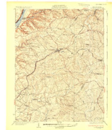
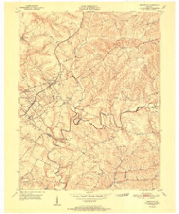
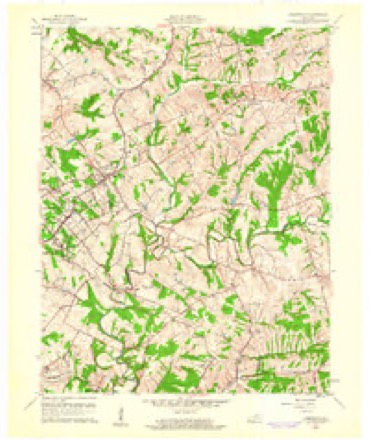
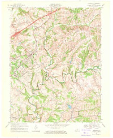
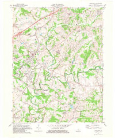
12 topographic sheets cover this place, the earliest surveyed in 1932 and the latest in 1986. It stands in the Pewee Valley census division. It lies in ZIP code area 40014. The Survey maps it on the Crestwood quadrangle.
Topographic sheets covering this place
8 surveys from 12 printed sheetsMatched by testing this settlement's coordinate against the published boundary of every sheet in the United States Geological Survey's historical collection. Each opens the scanned sheet at the Survey.
- 1932 USGS La Grange quadrangle1:62500
- 1951 USGS Crestwood quadrangle1:24000
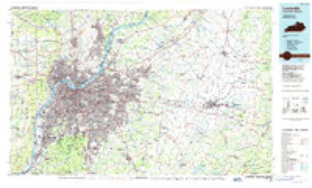
- 1956 USGS Louisville quadrangle1:250000, 2 printings
- 1960 USGS Crestwood quadrangle1:24000, 2 printings
- 1964 USGS Louisville quadrangle1:250000
- 1969 USGS Crestwood quadrangle1:24000
- 1981 USGS Crestwood quadrangle1:24000, 2 printings
- 1986 USGS Louisville quadrangle1:100000, 2 printings


Mines and quarries near this place
1 within 5 milesRegional context, not property-specific evidence. The federal mineral resources record lists 1 working within 5 miles of Centerfield: 1 unknown. None of them still produces. What was taken out: Stone, Crushed/Broken. Distance is straight-line from the map coordinates, so a quarry counted here may appear on a neighbouring settlement's page as well.
| Where | Site | Commodity | Status | Recorded |
|---|---|---|---|---|
| Crestwood Quarry | Stone, Crushed/Broken | Unknown |
Storms near this place
8 since 1995Regional context, not property-specific evidence. The National Weather Service names Centerfield in 8 storm reports between 1995 and 2024: 3 hail, 3 thunderstorm wind, 2 flash flood. No death or injury is recorded in these reports. Each account below is quoted exactly as the forecast office filed it, from the NOAA Storm Events Database, and each date opens the federal record of that event.
| When | Event | Place named | Harm | What the report says |
|---|---|---|---|---|
| April 2024 | Thunderstorm Wind | Centerfield | - | A tree was reported down by a NWS employee. |
| June 2023 | Hail | Centerfield | - | Quarter sized hail was observed southeast of Buckner. |
| June 2021 | Flash Flood | Centerfield | - | Dispatch reported water was over the roadway at West Mount Zion Road. |
| March 2019 | Hail | Centerfield | - | Hail was observed near State Road 373. |
| April 2015 | Flash Flood | Centerfield | - | Emergency manager reported that KY 362 / Ash Avenue between KY 22 and KY 146 closed due to high water. Between 3 and 5 inches of rain fell across the county, the highest amounts across the western and southern portions. |
| December 2015 | Thunderstorm Wind | Centerfield | - | Oldham County law enforcement reported to the NWS that trees were down due to severe thunderstorm winds at 4512 Centerfield Drive. |
| December 2015 | Thunderstorm Wind | Centerfield | - | Local law enforcement officials reported to the NWS that trees were down on Harvest Drive due to severe thunderstorm winds. |
| May 1995 | Hail | Centerfield | - | Dime- to quarter-size hail reported by dispatch. |
Nearest settlements
The eight closest, with where each one stands in the county. Distances are straight-line, computed from the Geographic Names Information System coordinates.
| Map | Place | Distance | Sheets |
|---|---|---|---|
| Elder Park (historical) | 1.3 miles | 12 | |
| Buckner | 2.9 miles | 12 | |
| Glenarm | 3.0 miles | 12 | |
| Zion (historical) | 3.2 miles | 10 | |
| Ballardsville | 3.4 miles | 10 | |
| Park Lake | 3.5 miles | 12 | |
| Floydsburg | 3.9 miles | 12 | |
| Crestwood | 3.9 miles | 12 |
Provenance
This settlement is recorded in the Geographic Names Information System as feature 489274. The sheet list is computed by point-in-boundary test against the United States Geological Survey's historical topographic inventory. Both are works of the United States government and carry no copyright under 17 U.S.C. 105.
Mines and quarries. USGS Mineral Resources Data System (MRDS) https://mrdata.usgs.gov/mrds/ A work of the United States government, no copyright under 17 U.S.C. 105.
Storms. NOAA National Centers for Environmental Information, Storm Events Database https://www.ncei.noaa.gov/stormevents/ A work of the United States government, no copyright under 17 U.S.C. 105. Narratives are quoted verbatim from the National Weather Service report and are not edited or summarised.