 Block
From the record
17 National Register listings published here.
Sources: the National Register database, National Park Service
46 topographic sheets and 7 fire insurance atlases across 1 place.
17 National Register listings published here.
Sources: the National Register database, National Park Service
Every property in this county listed on the National Register of Historic Places, with the year it was listed and the federal nomination document.
| Photograph | Property | Type | Listed | Reference |
|---|---|---|---|---|
| Mason Brown House | building | 1998 | 98000325 | |
| Byrns Landing | district | 1997 | 97000865 | |
 | Central Owenton Historic District | district | 1984 | 84001893 |
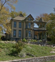 | Cox, L. 0., House | building | 1984 | 84001895 |
| Ford House | building | 1984 | 84001897 | |
| Enos Hardin Farm | district | 1997 | 97000868 | |
 | Highfield | building | 1977 | 77000640 |
| Jacob Hunter House | site | 1987 | 87000204 | |
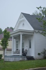 | William Linsey House | building | 1984 | 84001900 |
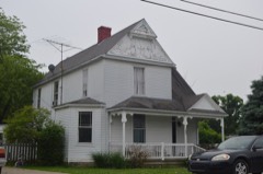 | McKay House | building | 1984 | 84001902 |
| Monterey Grade School | building | 1997 | 97000869 | |
| Monterey Historic District | district | 1997 | 97000867 | |
 | New Liberty Historic District | district | 2001 | 00001601 |
| North Main-North Adams Historic District | district | 1984 | 84001905 | |
| Old Cedar Baptist Church | building | 1997 | 97000870 | |
 | Owen County Courthouse and Jail | building | 1976 | 76000937 |
| E. E. Settle House | building | 1984 | 84001910 |
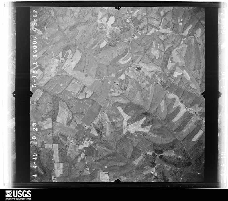
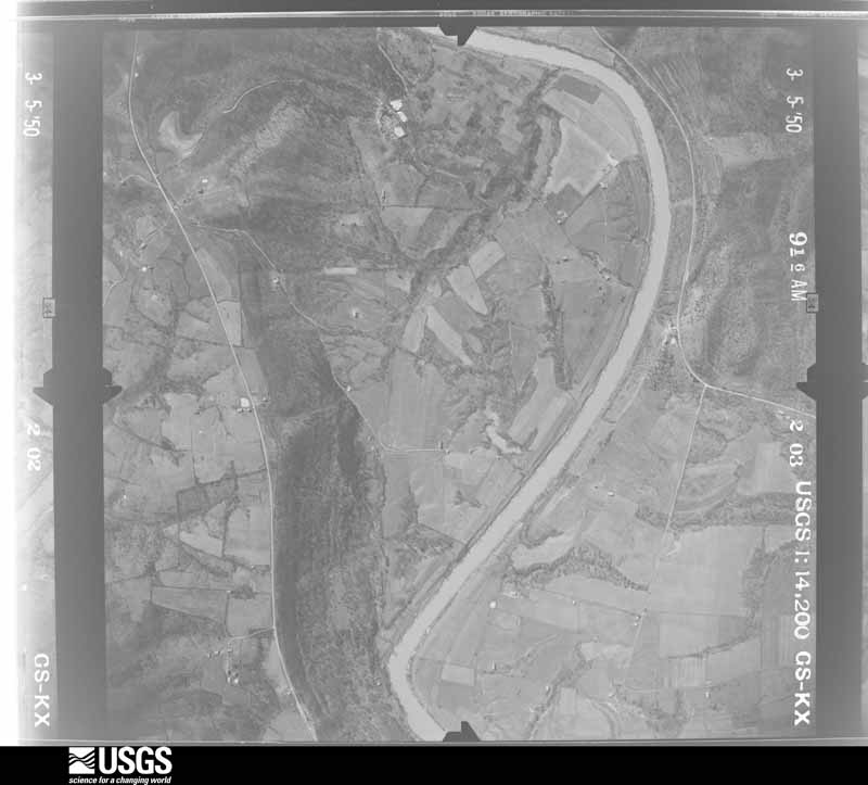
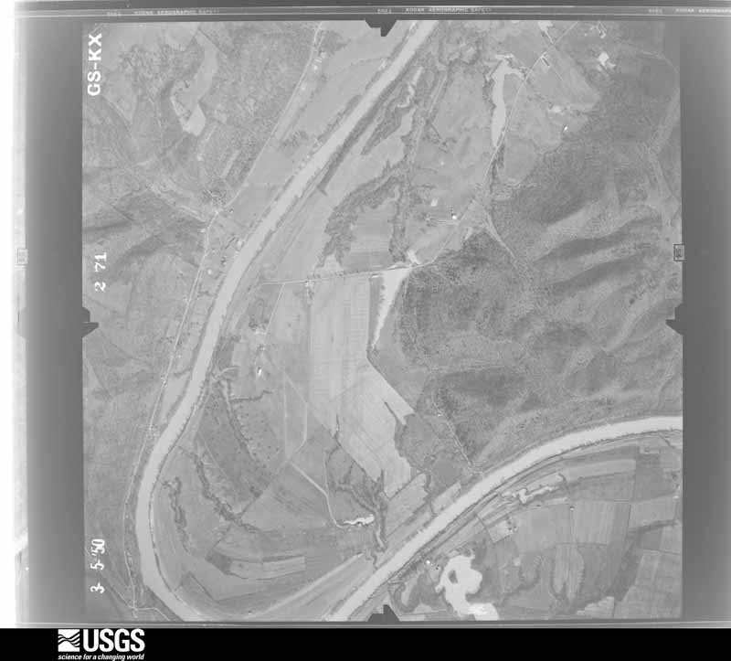
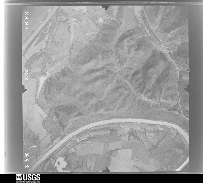
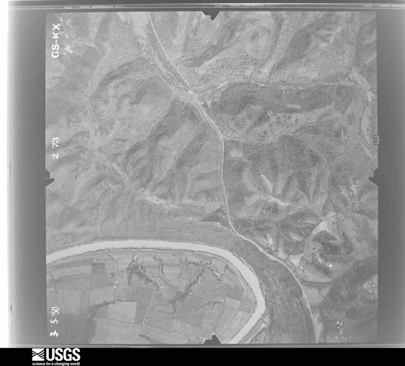
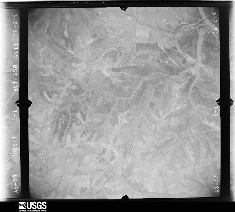
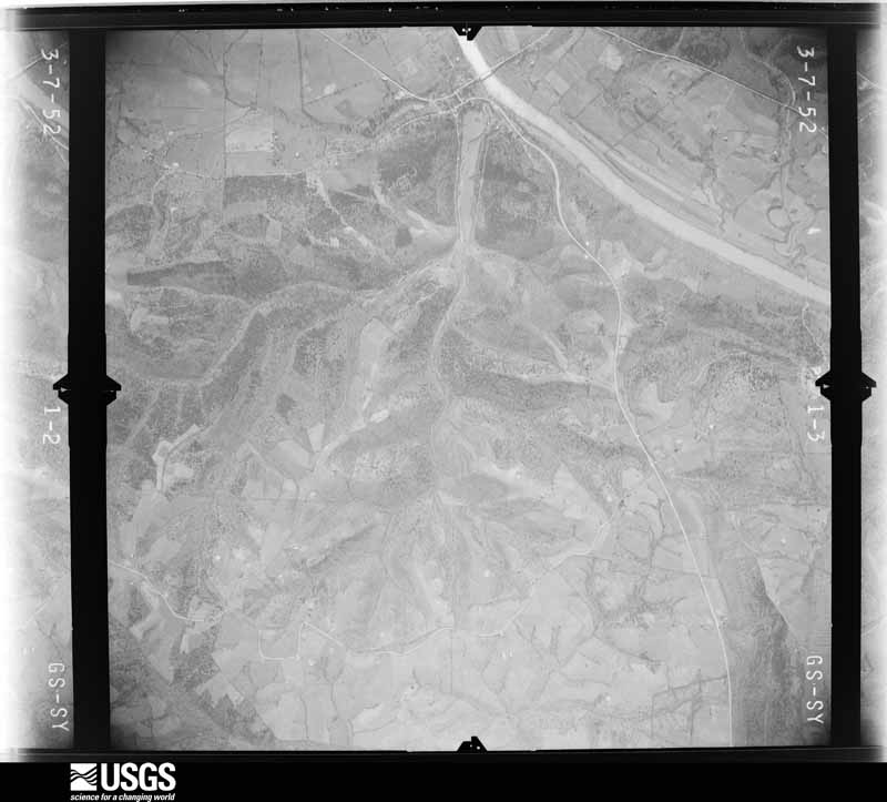
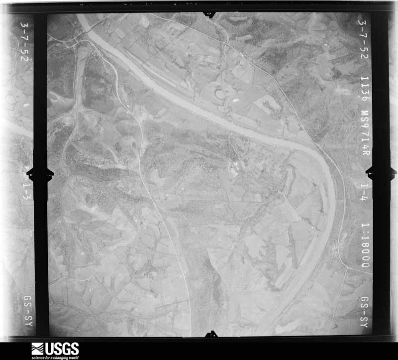
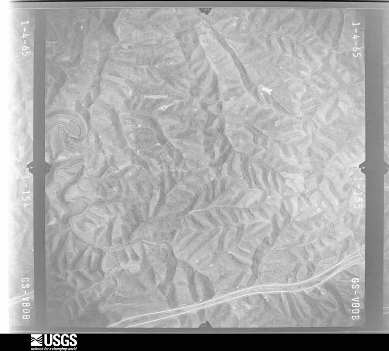
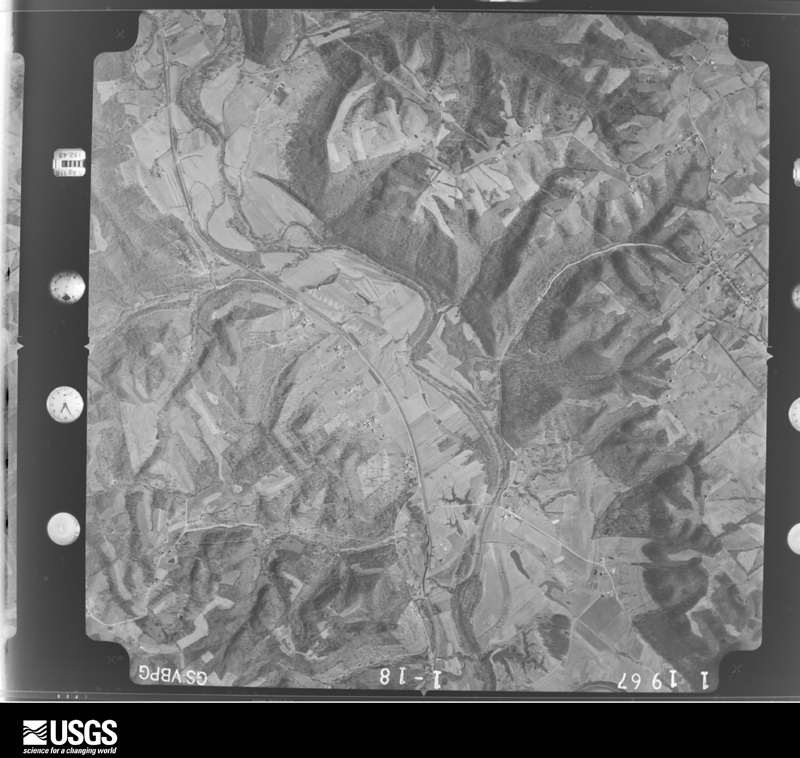
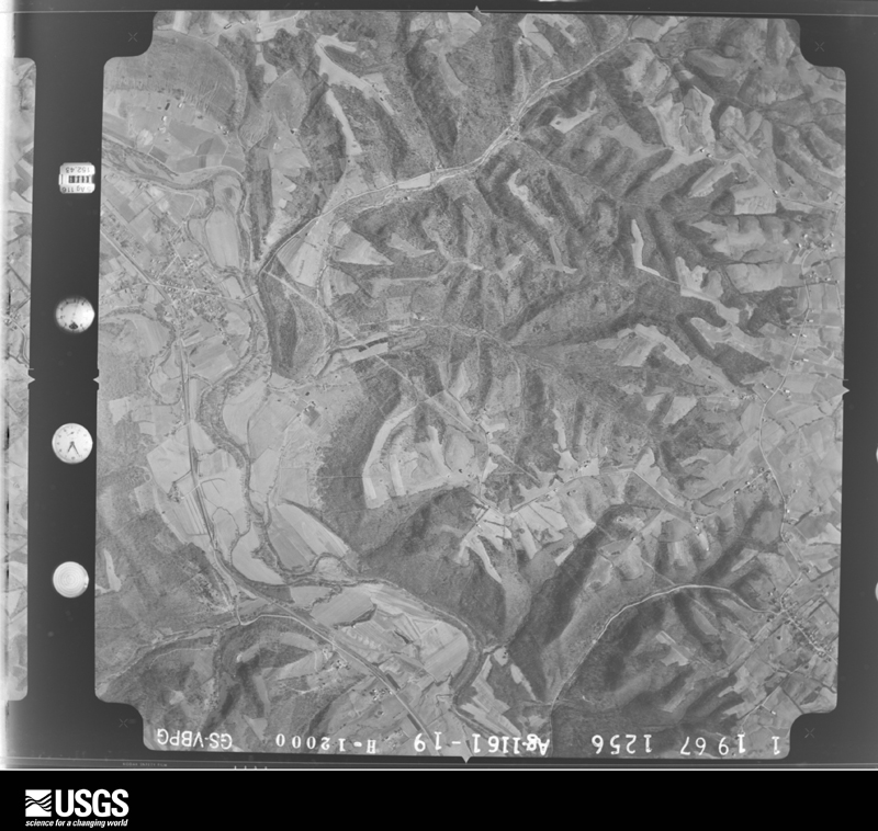
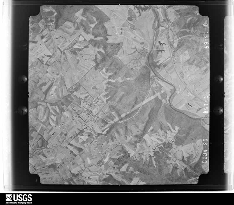
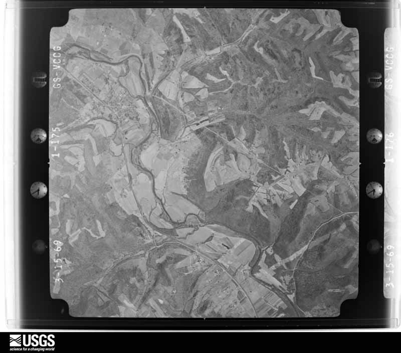
Flown by the U.S. Geological Survey between 1937 and 1989, the Aerial Photo Single Frames collection is the definitive mid-century view of the land: fields, roads and rivers as the camera saw them. The Survey holds 1,044 frames inside the rectangle that bounds this county; the 22 frames below were taken over the county itself, chosen across the decades of flights (at most four a year from that rectangle), so one flight cannot crowd out the rest. The full set is free to browse and download at EarthExplorer under the dataset Aerial Photo Single Frames.









The thermometers that kept this county's weather, as the federal records hold them. The extremes below are measured values from those records, not estimates.
Who lived here in 1950, one enumeration district at a time, as the Census Bureau described each district. Each row opens its official National Archives result, with Population Schedules and ED Maps available there.
Every wildfire the federal occurrence database records inside this county: 20 of them, burning about 149 acres. None started naturally and 1 was recorded as arson. Each settlement page carries the fires within five miles of it.
| Reported cause | Fires |
|---|---|
| Debris and open burning | 7 |
| Missing data/not specified/undetermined | 6 |
| Recreation and ceremony | 4 |
| Smoking | 1 |
| Arson/incendiarism | 1 |
| Railroad operations and maintenance | 1 |
The five largest, by the area the report gives. None of them was recorded as arson.
| Date | Cause | Size | Reported by | Name on the report |
|---|---|---|---|---|
| 2 April 2013 | Railroad operations and maintenance | 45 acres | Kentucky Division of Forestry | BETHEL FIRE |
| 28 March 2004 | Missing data/not specified/undetermined | 18 acres | Kentucky Division of Forestry | not named |
| 24 September 2010 | Debris and open burning | 15 acres | Kentucky Division of Forestry | ROSE FIRE |
| 21 March 2011 | Recreation and ceremony | 15 acres | Kentucky Division of Forestry | ELK CREEK FIRE |
| 19 May 1998 | Debris and open burning | 8.0 acres | Kentucky Division of Forestry | not named |
| 16 February 2002 | Recreation and ceremony | 7.0 acres | Kentucky Division of Forestry | not named |
| 17 March 2005 | Missing data/not specified/undetermined | 6.0 acres | Kentucky Division of Forestry | not named |
| 28 February 2004 | Missing data/not specified/undetermined | 5.0 acres | Kentucky Division of Forestry | not named |
Every settlement page carries the fires within five miles of it - see the settlement index below.
The NOAA Storm Events Database holds 238 reports for this county, causing 4 deaths, 6 injuries and about $3,368,700 in recorded property damage. Each settlement page carries the reports that name it.
| Kind of event | Reports |
|---|---|
| Thunderstorm Wind | 146 |
| Flash Flood | 37 |
| Hail | 31 |
| Flood | 18 |
| Tornado | 4 |
| Lightning | 1 |
| Heavy Rain | 1 |
The most serious of them, by death, then injury, then recorded damage. The accounts are quoted exactly as the forecast office filed them.
| When | Event | Place named | Harm | What the report says |
|---|---|---|---|---|
| March 1997 | Flash Flood | Countywide | 2 killed, $2,100,000 | no account filed |
| May 2016 | Flash Flood | Teresita | 1 killed, $50,000 | Heavy rain fell over parts of southern Owen County with measured rainfall rates as high as 2 inches in 45 minutes. Flash flooding occurred along Indian and Sawdridge Creeks. A 53 year old man was swept away and killed by the rapidly rising water along Indian Creek near the intersection of Teresita Road and Old Walnut Grove Road. Three other people needed to be rescued from a porch at a nearby residence due to the rising water. |
| March 2021 | Flood | Perry Park | 1 killed | Moderate flooding occurred along the Kentucky River due to heavy rain earlier in the week. A man drowned in the flood waters near Perry Park. |
| March 2012 | Tornado (EF2) | New Liberty | 3 hurt, $320,000 | The tornado touched down north of Owenton initially near a farm south of Highway 227, where minor damage to a barn and house were observed. The tornado continued east to near the intersection of Todd Road and Highways 127, 36, and 227 where the EF2 damage occurred. This damage included a house that had complete removal of the roof and partial exterior wall collapse. Numerous barns in the area were also completely destroyed. Power poles and trees were snapped, as well as a semi trailer overturned. The tornado then continued east across Kemper Lane where more barns were destroyed and numerous groves of trees were uprooted and snapped. The tornado lifted just east of Jonesville Road. This location is approximate due to inaccessible terrain. Damage in the area of Jonesville Road consisted of minor damage to outbuildings, tree damage, and minor removal of roofing material. Based on the damage survey, the maximum wind speed of this tornado was estimated to be 125 miles per hour. |
| May 1996 | Thunderstorm Wind | Wheatley | 2 hurt, $5,000 | no account filed |
| April 2002 | Lightning | New Liberty | 1 hurt | A person received minor injuries from a lightning strike. Time is estimated. |
| November 2000 | Thunderstorm Wind | Hesler | $50,000 | Thunderstorm winds blew the roof off a barn in New Columbus and knocked down large limbs in Hesler. |
| October 2014 | Tornado (EF1) | Natlee | $45,000 | In Owen County, a storm survey revealed that a weak tornado touched down west of Kentucky State Route 1883 with damage to some trees. More tree damage was found along Paynes Run Road, in addition to an outbuilding that was destroyed with debris lofted into an adjacent valley. Where Paynes Run Road intersects with New Columbus Road, several homes sustained minor roof damage with windows blown out, as well as significant tree damage. The tornado continued along New Columbus Road where a porch was lifted from a home (its final resting place still is unknown) and roof damage occurred to the home itself. From here the tornado damage became intermittent along the south side of New Columbus Road and Dudley Pike, with instances of tree damage, outbuildings destroyed and minor roof damage to several homes. The last instances of tornado damage in Owen County were found along portions of Leaning Oak Road where damage consisted of peeled back roofing material on barns, many trees snapped or uprooted and roof damage to homes. ||According to the survey from NWS Louisville, the storm quickly crossed into Scott County and struck North Rays Fork Road where it snapped and uprooted trees. Moving to the east-southeast, tree damage was found along South Rays Fork Road east of Stonewall. The tornado lifted just west of the Harrison County line. The only structural damage along the path was to a home near the top of a small hill close to the end of the path. The porch roof was ripped from the home and thrown over the building, with significant roof damage. Also, an above ground pool was destroyed. The damage in Scott County supports an estimated maximum wind speed of 107 mph (EF1). |
| January 2023 | Flash Flood | Gratz | $40,000 | A bridge was washed out near Browns Bottom Road and State Route 355. |
| June 2021 | Flash Flood | New | $30,000 | A portion of Claxon Ridge Road was washed out along Elk Lick Creek. |
| November 1992 | Tornado (F1) | not stated | $25,000 | no account filed |
| March 2024 | Thunderstorm Wind | Pleasant Home | $20,000 | A building roof was damaged and a few power poles were downed on State Route 22. |
| April 2018 | Thunderstorm Wind | Owenton | $20,000 | A barn was partially destroyed and blown onto Highway 22 East. |
| March 2017 | Thunderstorm Wind | Owenton | $20,000 | The garage doors of a wrecker service station were blown in. Numerous trees were also downed. |
| April 2014 | Thunderstorm Wind | Pleasant Home | $20,000 | Roof damage occurred to three barns and one tree was downed due to thunderstorm winds. |
| April 1999 | Thunderstorm Wind | Countywide | $20,000 | Trees were knocked down. Scattered power outages were reported across the county. |
| August 1996 | Flash Flood | Owenton | $20,000 | no account filed |
| April 2011 | Thunderstorm Wind | New Liberty | $15,000 | Trees were across the highway and roofs were off outbuildings due to damaging thunderstorm winds. |
| June 2002 | Thunderstorm Wind | Owenton | $15,000 | Trees were knocked down and a roof was blown off a barn on Slippery Rock Road. |
| May 1996 | Thunderstorm Wind | Hesler | $15,000 | no account filed |
| April 2006 | Thunderstorm Wind | Countywide | $12,000 | A few barns sustained major structural damage. Trees were also downed. |
| September 2024 | Thunderstorm Wind | Perry Park | $10,000 | Several trees and power lines were downed. |
| April 2022 | Thunderstorm Wind | Lusbys Mill | $10,000 | A pole barn was blown over and numerous trees were downed along State Route 330. |
| May 2017 | Thunderstorm Wind | Lusbys Mill | $10,000 | Several trees were downed near Dogwalk Road with one falling onto a car port. A barn was also damaged. |
| June 2016 | Thunderstorm Wind | New Columbus | $10,000 | A house was damaged by straight line winds along Mountain Island Road. |
| August 2009 | Flash Flood | New Liberty | $10,000 | Two people were rescued from their vehicle trapped on a flooded bridge on Big Twin Creek Road. |
| August 2009 | Flash Flood | Owenton | $10,000 | Flooding forced the evacuation of a trailer on Teresita Road. |
| August 2006 | Thunderstorm Wind | Countywide | $10,000 | More than twenty trees were downed throughout the county. |
| February 2002 | Thunderstorm Wind | New Liberty | $10,000 | A barn sustained severe roof damage in the northern part of the county. |
| February 2000 | Flash Flood | Countywide | $10,000 | Roads were closed due to heavy rainfall. |
| January 2000 | Flash Flood | Countywide | $10,000 | Persistent heavy rainfall caused State Route 355 to be closed due to high water. |
| July 2000 | Thunderstorm Wind | Owenton | $10,000 | Strong winds knocked down numerous trees and destroyed a metal shed. |
| August 2000 | Thunderstorm Wind | Countywide | $10,000 | Numerous trees were knocked down across the county. |
| May 1998 | Thunderstorm Wind | Poplar Grove | $10,000 | Thunderstorm winds caused a roof to blown off a house. |
| May 2003 | Hail | Hesler | $10,000 | no account filed |
| January 2020 | Thunderstorm Wind | Owenton | $8,000 | Several trees were downed across the county. |
| May 2004 | Thunderstorm Wind | Countywide | $8,000 | Trees were downed. |
| July 2024 | Thunderstorm Wind | Poplar Grove | $5,000 | Part of a metal roof was torn off of a barn. |
| June 2023 | Thunderstorm Wind | Teresita | $5,000 | Several trees were snapped off along Harmony Road. |
| June 2019 | Thunderstorm Wind | Beechwood | $5,000 | Several trees were knocked down across the southern third of Owen County. |
| March 2016 | Thunderstorm Wind | New Liberty | $5,000 | An estimated 10 to 15 large ash trees were downed in and around the New Liberty area. |
| June 2016 | Thunderstorm Wind | Harmony | $5,000 | Trees were reported down between Harmony and Teresita Roads, west of Georgetown Road. They were noted by an aerial survey by NWS Louisville. |
| June 2015 | Thunderstorm Wind | Owenton | $5,000 | Numerous 6 to 7 inch diameter trees downed on Highway 22, 227 and 330. |
| July 2015 | Thunderstorm Wind | Beechwood | $5,000 | Several trees were downed along State Route 227 and elsewhere across Owen County. |
| June 2014 | Thunderstorm Wind | Perry Park | $5,000 | Numerous trees were downed near Perry Park due to thunderstorm winds. |
| June 2014 | Thunderstorm Wind | Perry Park | $5,000 | Numerous trees were downed across the county due to thunderstorm winds. |
| May 2011 | Thunderstorm Wind | Owenton | $5,000 | A barn was damaged due to thunderstorm winds. |
| August 2009 | Flash Flood | Gratz | $5,000 | Water was crossing Highway 355 due to flash flooding caused by heavy rainfall. |
| March 2008 | Flood | Wheatley | $5,000 | Numerous roads flooded and closed throughout the county. |
| September 2006 | Flash Flood | Countywide | $5,000 | Several roads were flooded across the county. |
| May 2004 | Thunderstorm Wind | Monterey | $5,000 | Numerous trees and limbs were downed. |
| May 2004 | Thunderstorm Wind | Owenton | $5,000 | Trees were downed. |
| April 2001 | Thunderstorm Wind | Perry Park | $5,000 | A thunderstorm produced strong winds which lifted up a police cruiser. Dime size hail also occurred. |
| June 2001 | Flash Flood | Owenton | $5,000 | Thunderstorms produced heavy rain which caused high water on roads as well as a couple of culverts washed out along Twin Creek. |
| June 2001 | Flash Flood | South Portion | $5,000 | Heavy rainfall forced the closing of roads in the southern part of the county. |
| July 2001 | Thunderstorm Wind | New Liberty | $5,000 | Numerous trees knocked down. |
| July 2001 | Thunderstorm Wind | Owenton | $5,000 | Power poles were knocked down just south of Owenton and trees and large limbs were knocked down in Gratz. |
| October 2001 | Thunderstorm Wind | Countywide | $5,000 | Several trees and limbs were blown down across the county. |
| February 2000 | Flash Flood | Countywide | $5,000 | Heavy rain flooded some county roads, mainly across the northern half of the county. |
| April 2000 | Thunderstorm Wind | New Liberty | $5,000 | Trees knocked down. |
The Survey's mineral resources record lists 3 workings inside this county. 1 still produces and 2 are closed or unrecorded. Each settlement page carries the workings within five miles of it.
| Commodity | Workings |
|---|---|
| Barium-Barite | 2 |
| Lead, Zinc | 2 |
| Zinc | 1 |
| Lead | 1 |
The least common of them first, because a county's hundredth gravel pit says nothing its first ten did not.
| Where | Site | Commodity | Status | Recorded |
|---|---|---|---|---|
| K.T.Dome Mine | Zinc, Lead | Past Producer | ||
| Gratz Mine | Barium-Barite, Lead, Zinc | Past Producer | 1904 | |
| Twin Valley Mine & Mill | Barium-Barite, Lead, Zinc | Plant |
Named settlements recorded in the Geographic Names Information System, each with the topographic sheets covering it. Villages, hamlets and abandoned places alike. Each is shown with the nearest named watercourse or landform and the survey quadrangle it falls on. The 1 place that was also surveyed for fire insurance comes first, with the number of atlases and photographs held for them.
Owenton census division · 40359 · Owenton quadrangle
9 sheets, 1950 to 1986
Fire insurance: 7 atlases
Monterey-New Columbus census division · 40359 · On Southard Branch · New Columbus quadrangle
9 sheets, 1939 to 1986
Monterey-New Columbus census division · 40359 · On Gill Branch · Switzer quadrangle
13 sheets, 1906 to 1986
No longer a settlement
Owenton census division · 40359 · Near Elk Ridge · New Columbus quadrangle
9 sheets, 1939 to 1986
Monterey-New Columbus census division · 41010 · Lawrenceville quadrangle
6 sheets, 1950 to 1986
New Liberty census division · 41098 · On Punchen Camp Branch · New Liberty quadrangle
9 sheets, 1950 to 1986
New Liberty census division · 41046 · On Eagle Hill · Glencoe quadrangle
8 sheets, 1950 to 1986
Monterey-New Columbus census division · 40359 · On Southard Branch · New Columbus quadrangle
9 sheets, 1939 to 1986
Owenton census division · 40359 · On Lowderbach Branch · Gratz quadrangle
12 sheets, 1906 to 1986
Monterey-New Columbus census division · 40359 · On Minors Creek · Stamping Ground quadrangle
9 sheets, 1939 to 1986
Owenton census division · 40359 · On Elk Creek · Lawrenceville quadrangle
6 sheets, 1950 to 1986
Monterey-New Columbus census division · 40359 · Near Honeysuckle Hill · Monterey quadrangle
12 sheets, 1906 to 1986
New Liberty census division · 41098 · On Little Twin Creek · Worthville quadrangle
8 sheets, 1952 to 1990
Monterey-New Columbus census division · 41010 · On Paynes Run · New Columbus quadrangle
9 sheets, 1939 to 1986
Monterey-New Columbus census division · 40359 · On Elk Lick Creek · Monterey quadrangle
12 sheets, 1906 to 1986
Monterey-New Columbus census division · 41010 · On Gwills Branch · New Columbus quadrangle
9 sheets, 1939 to 1986
Owenton census division · 41098 · On Big Twin Creek · New Liberty quadrangle
9 sheets, 1950 to 1986
Monterey-New Columbus census division · 40359 · New Columbus quadrangle
9 sheets, 1939 to 1986
Owenton census division · 40359 · On South Fork Creek · New Liberty quadrangle
9 sheets, 1950 to 1986
Monterey-New Columbus census division · 40359 · On Little Indian Creek · Switzer quadrangle
13 sheets, 1906 to 1986
Monterey-New Columbus census division · 40359 · On Wiley Branch · Monterey quadrangle
12 sheets, 1906 to 1986
Monterey-New Columbus census division · 40359 · On Little Indian Creek · Switzer quadrangle
13 sheets, 1906 to 1986
No longer a settlement
The vanished settlements of Owen County: the places named above that are no longer on the map.
9 topographic sheets and 7 fire insurance atlases, 1885 to 1935