 Block
From the record
14 National Register listings published here.
Sources: the National Register database, National Park Service
37 topographic sheets and 7 fire insurance atlases across 1 place.
14 National Register listings published here.
Sources: the National Register database, National Park Service
Taken for the Office of War Information and the Farm Security Administration, who photographed the country between 1935 and 1944. Works of United States government photographers, with no known restriction on use. Each opens its catalogue record.
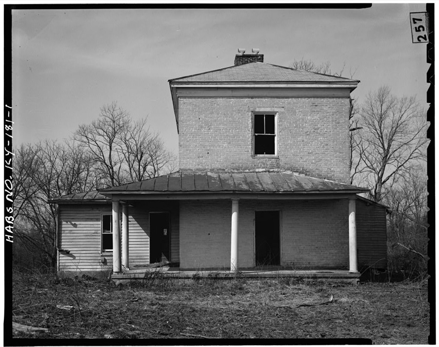
Every property in this county listed on the National Register of Historic Places, with the year it was listed and the federal nomination document.
| Photograph | Property | Type | Listed | Reference |
|---|---|---|---|---|
 | All Saints Church | building | 1992 | 92000302 |
 | Beechland | building | 1976 | 76000945 |
| Bourne-Anderson House | building | 1977 | 77000648 | |
| Camp Branch Historic District | district | 1994 | 93001594 | |
| Isaac Miller Farm | district | 1994 | 93001596 | |
 | Minor Chapel A. M. E. Church | building | 1992 | 92000300 |
 | Riverview School | building | 1994 | 93001595 |
 | L.W. Ross House | building | 1992 | 92000299 |
| Perry Shelburne House | building | 1992 | 92000297 | |
| Shelburne-Cox House | building | 1992 | 92000298 | |
 | Felix Grundy Stidger House | building | 2016 | 16000014 |
| Stone House on Plum Creek | building | 1987 | 87000213 | |
| Taylorsville Historic District | district | 1992 | 92000296 | |
 | Van Dyke House | building | 1987 | 87000181 |
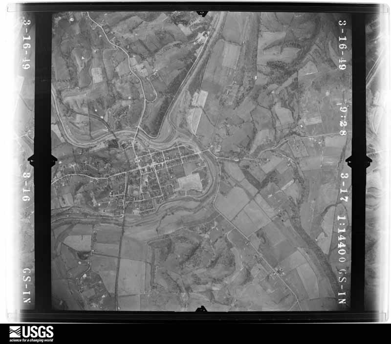
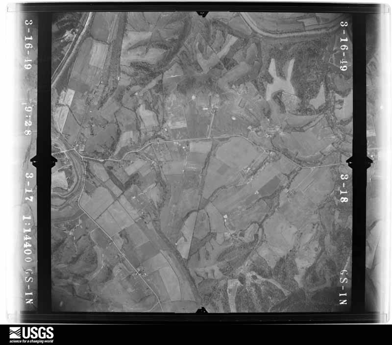
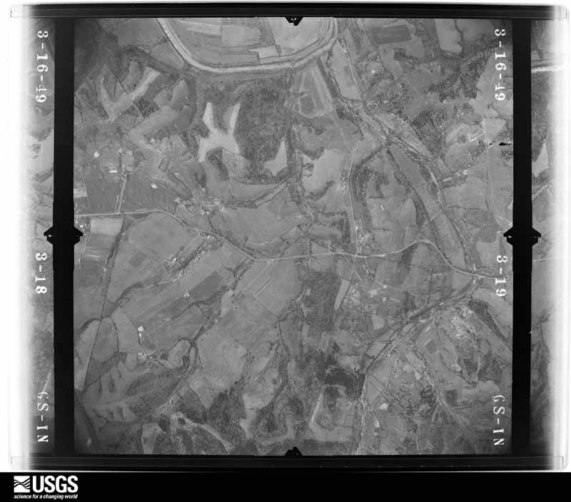
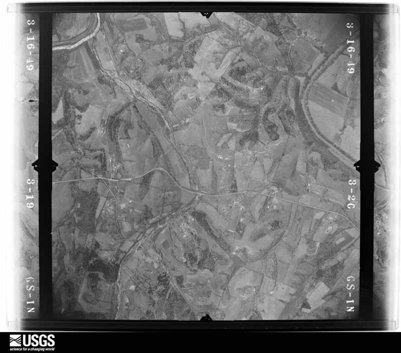
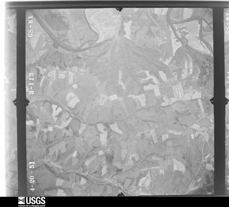
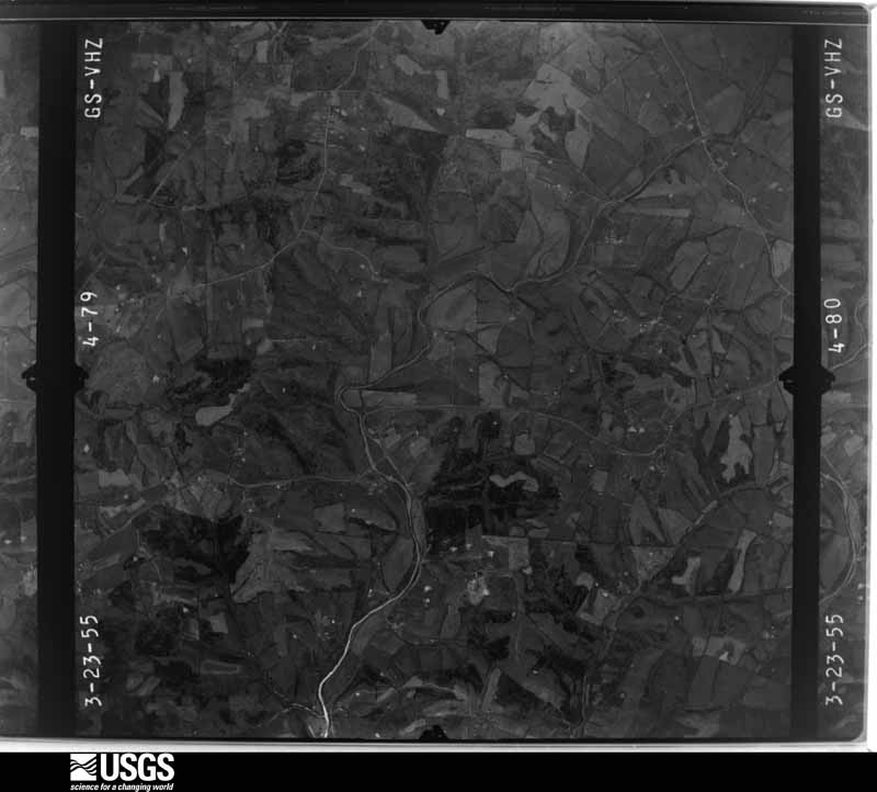
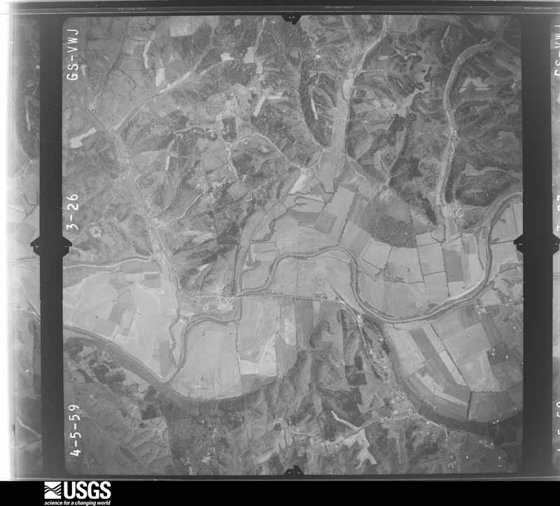
Flown by the U.S. Geological Survey between 1937 and 1989, the Aerial Photo Single Frames collection is the definitive mid-century view of the land: fields, roads and rivers as the camera saw them. The Survey holds 724 frames inside the rectangle that bounds this county; the 33 frames below were taken over the county itself, chosen across the decades of flights (at most four a year from that rectangle), so one flight cannot crowd out the rest. The full set is free to browse and download at EarthExplorer under the dataset Aerial Photo Single Frames.











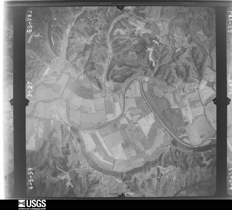
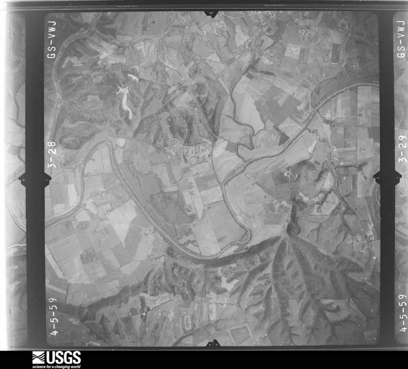







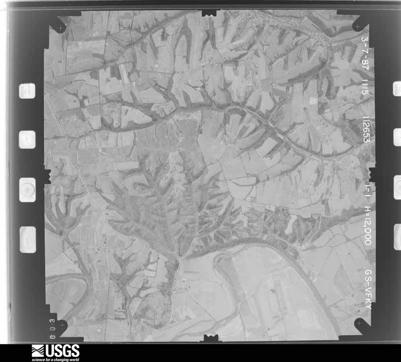





The thermometers that kept this county's weather, and the gages that measured the flow of its streams, as the federal records hold them. The extremes below are measured values from those records, not estimates.
Who lived here in 1950, one enumeration district at a time, as the Census Bureau described each district. Each row opens its official National Archives result, with Population Schedules and ED Maps available there.
Every wildfire the federal occurrence database records inside this county: 3 of them, burning about 35 acres. None started naturally and none was recorded as arson. Each settlement page carries the fires within five miles of it.
| Reported cause | Fires |
|---|---|
| Recreation and ceremony | 2 |
| Missing data/not specified/undetermined | 1 |
The five largest, by the area the report gives. None of them was recorded as arson.
| Date | Cause | Size | Reported by | Name on the report |
|---|---|---|---|---|
| 11 March 2003 | Missing data/not specified/undetermined | 26 acres | Kentucky Division of Forestry | not named |
| 15 February 2011 | Recreation and ceremony | 8.0 acres | Kentucky Division of Forestry | INDIAN RIDGE FIRE |
| 10 October 2010 | Recreation and ceremony | 1.0 acres | Kentucky Division of Forestry | MASTERS LANE FIRE |
Every settlement page carries the fires within five miles of it - see the settlement index below.
The NOAA Storm Events Database holds 166 reports for this county, causing 1 death, 1 injury and about $3,337,000 in recorded property damage. Each settlement page carries the reports that name it.
| Kind of event | Reports |
|---|---|
| Thunderstorm Wind | 88 |
| Hail | 30 |
| Flash Flood | 19 |
| Flood | 18 |
| Tornado | 11 |
The most serious of them, by death, then injury, then recorded damage. The accounts are quoted exactly as the forecast office filed them.
| When | Event | Place named | Harm | What the report says |
|---|---|---|---|---|
| June 2019 | Flood | Wilsonville | 1 killed, $100,000 | A vehicle attempted to navigate a flooded low water crossing that was flowing with water at the time. A family of four was in the vehicle. The mother and two children were rescued. The father's body was found several hours later downstream. |
| February 2008 | Tornado (EF0) | Taylorsville | 1 hurt, $200,000 | This tornado destroyed two barns, and did heavy damage to several other barns and homes. |
| May 1996 | Tornado (F3) | Taylorsville | $1,000,000 | no account filed |
| April 2008 | Flash Flood | Elk Creek | $750,000 | Three mobile homes had water in them and the families had to be evacuated. Numerous roads around the county were closed due to high water, and some roads were washed out. |
| April 1989 | Tornado (F0) | not stated | $250,000 | no account filed |
| July 1984 | Tornado (F2) | not stated | $250,000 | no account filed |
| February 2008 | Tornado (EF0) | Waterford | $150,000 | The tornado destroyed two mobile homes, and did extensive roof and tree damage. |
| March 2017 | Thunderstorm Wind | Whitfield | $100,000 | A NWS Storm Survey team found straight line wind damage of approximately 50 to 60 mph just east of Whitfield, Kentucky on the Bullitt and Spencer County lines, and east into Spencer County. There was damage to a RV and its shed. In Spencer County, a roof was blown off of an older barn, and an older shed was moved off its piers. In addition, numerous cedar trees were blown over and large branches of hardwood trees were broken off. Overall, damage extended 1.25 miles east of where it began on the Spencer and Bullitt County line. The duration of the thunderstorm wind event was approximately 1 minute. |
| March 2012 | Hail | Mt Eden | $100,000 | The Spencer County Emergency Management reported that tennis ball-sized hail damaged numerous building and cars in Mount Eden. |
| July 2004 | Thunderstorm Wind | Countywide | $100,000 | Trees and power lines were blown down. Unspecified structural damage was reported. |
| May 2010 | Flood | Taylorsville | $75,000 | Four to six inches of rain across Spencer county May 1-2 led to areal flooding in spots across the county on the 2nd. |
| May 2017 | Thunderstorm Wind | Taylorsville | $50,000 | The National Weather Service in conjunction with Spencer County Emergency Management conducted a damage survey near Highway 44 and Carl Monroe Road 2 to 3 miles west of Taylorsville. The survey found a narrow path of straight line wind damage with estimated winds between 75 and 85 MPH. The most significant damage occurred at the path start on Carl Monroe Road where the second level of a cinder block farm building was removed. Roofing material and cinder block debris was scattered to the ENE 100-200 yards downwind. A two-story home also suffered damage in this area with the removal of siding, soffit, and shingles. Debris shattered a window, and a dead-bolted door was blown open after the storm door was ripped off. Several large limbs were ripped out of a tree and tossed across Carl Monroe Road.||Wind damage continued east while paralleling just south of Highway 44 where 3 more hardwood trees were broken or uprooted. Several large hardwood trees were uprooted in the Elk Creek Bottom. Continuing east, wind took shingles off of a home and damaged several trees. Damage ceased 2 miles west of Taylorsville with a final downed tree along Highway 44.||The event lasted 1 to 2 minutes and occurred on the leading edge of a gust front. Many residents noted that no rain was occurring at the time of the event, bur rain started a few minutes later. This matches the radar presentation. All debris was scattered in a divergent ENE to NE direction. |
| February 2008 | Thunderstorm Wind | Taylorsville | $50,000 | Straight line winds caused extensive damage to trees and power lines. They also did shingle damage to buildings, and damaged some outbuildings. |
| May 1995 | Thunderstorm Wind | not stated | $50,000 | Dispatch reports a tree down on a house and another blocking half a road. In addition, a HAM radio operator reported winds gusting at 60 mph just South of Shelbyville. |
| April 2015 | Flash Flood | Elk Creek | $30,000 | State officials reported numerous water rescues occurred during the morning hours because of high water and excessive heavy rainfall. Between 6 and 8 inches of rain fell across the county. |
| July 2015 | Flash Flood | Taylorsville | $25,000 | A law enforcement official reported that excessive rainfall and flash flooding impacted numerous roads in Taylorsville. The high water also was flooding parts of some homes in the area. Approximately 4 inches of rain fell across the region in a 2 to 3 hour period. |
| April 1974 | Tornado (F4) | Taylorsville | $25,000 | no account filed |
| June 2004 | Thunderstorm Wind | Wakefield | $20,000 | Numerous trees were downed. There was a report of roof damage to a building. |
| November 2000 | Thunderstorm Wind | Countywide | $5,000 | no account filed |
| March 2005 | Tornado (F0) | Mt Eden | $3,000 | An F0 tornado touched down briefly in the Brier Ridge area in eastern Spencer County. Highest winds were estimated to be near 70 mph. A metal garage was blown over. There was slight structural damage to a general store and a parsonage. Several trees were also downed. Some eye witnesses described the rotation as the storm moved through. |
| March 2016 | Thunderstorm Wind | Wayside | $2,000 | A trained spotter reported flag poles down in the far northeastern part of Spencer County. |
| April 1996 | Thunderstorm Wind | Taylorsville | $2,000 | no account filed |
| March 2025 | Thunderstorm Wind | Waterford | - | There were four cedar trees that split. |
| March 2025 | Tornado (EF1) | Snider | - | The National Weather Service damage survey team confirmed an EF1 tornado in Eastern Spencer County, in between Little Mount and Mount Eden. The tornado touched down on the south side of Hickory Ridge Rd, just east of Ten Mile Lane. There was sporadic topped and twisted trees, visible from drone photography. Tornado tornado|wind speeds were estimated to be 80 mph, EF0, and 50 yards wide. ||The tornado did extensive damage to a property on Hickory Ridge Rd, damaging a 50 by 80 barn. Several large sections of the barn were thrown up to 100 yards to a north and easterly direction. A 30 by 70 hoop barn, with supports encased in several inches of concrete, was destroyed. Sections of the barn were thrown up 225 yards to the northeast to the east southeast direction. Parts of both barns were thrown into old telephone pole about 50 yards away, and with debris wrapped around the pole. There were a few impalement of boards downwind from the barns. Wind speeds were 90 |mph, EF1, with a width of 80 yards. An older barn just northeast of the property had one metal panel removed from the roof. ||Drone photography showed tree damage, mainly topped and twisted trees, between Hickory Ridge Road and Mill Road with the most concentrated area along Tenmile creek. The end of the tornado occurred just south of the intersection of Mill Road and Stuart |Ridge Road. Wind speeds were between 75 and 80 mph, EF0, with a width of 50 yards. |
| May 2025 | Thunderstorm Wind | Wilsonville | - | Multiple trees and large limbs were blown down in the Elk Creek area. |
| May 2025 | Thunderstorm Wind | Wakefield | - | A 59 mph wind gust was measured at the Spencer County Kentucky mesonet station. |
| June 2025 | Thunderstorm Wind | Taylorsville | - | Several trees were downed by strong thunderstorm winds along Kentucky Route 44 west of Taylorsville. |
| February 2025 | Flash Flood | Taylorsville | - | Water was reported over West River Road. |
| February 2025 | Flash Flood | Elk Creek | - | Water was rushing over a bridge on Roberts Road. |
| July 2025 | Flash Flood | Wilsonville | - | There was a water rescue for a stranded vehicle on Hochstrasser Lane. |
| October 2025 | Flash Flood | Wilsonville | - | There was water and debris over Plum Ridge Road. |
| April 2024 | Thunderstorm Wind | Wakefield | - | The National Weather Service in Louisville confirmed straight line wind damage occurred in far southeastern Spencer County, near Wakefield, KY, by the county line. Winds of 70 to 75 mph did damage to a large older barn. Several sections of the barn were thrown 40 yards on top of a Chevy Silverado. The owner of the property had just left to go inside his farmhouse next door by just a few minutes. The owner described a heavy wind and burst of heavy rain when it occurred. There was shingle and soffit damage to the farmhouse. Debris was thrown across Eggen Road, all facing to the southeast. |
| April 2024 | Thunderstorm Wind | Wakefield | - | Trees were down on Ochs Lane. |
| January 2023 | Flash Flood | Elk Creek | - | Multiple water rescues occurred across Spencer County. |
| June 2023 | Hail | Elk Creek | - | Quarter sized hail was observed in Elk Creek. |
| July 2023 | Thunderstorm Wind | Taylorsville | - | Trees fell down over the road. |
| August 2023 | Thunderstorm Wind | Taylorsville | - | A large tree fell on Brashears Creek Road. |
| April 2022 | Tornado (EF0) | Normandy | - | The tornado touched down causing sporadic tree damage on a farm in northeast Spencer county. Drone video showed a few snapped and twisted trees. The tornado then hit the Meadow Lake subdivision causing shingle, flashing, siding, and gutter damage at several homes. A chicken coop was destroyed, and trees fell from the northeast through the southeasterly direction. There were even a few small tree limbs that were driven into the ground. Wind speeds in this area were estimated to be 80 mph, and a width of 60 yards.||A resident reported hearing a roaring sound, and were thankful for the early tornado warnings to seek shelter. |
| April 2022 | Tornado (EF0) | Waterford | - | A small and narrow tornado touched down on the 600 block of Plum Creek Road in far western Spencer County. The 30 yard wide tornado caused extensive roof damage. Insulation was thrown from the northeast to the southeasterly direction and blown into trees. A large older satellite dish was thrown 20 yards and wedged in between 2 trees. The homeowner described a frightening tale of intense wind and a roaring sound. Doppler weather radar showed a nub on the squall line reflectivity, which corresponded well with where the twister touched down.||The next house up the street had some minor roof damage and there were several trees down in different directions. |
| March 2021 | Hail | Wilsonville | - | Golf ball sized hail was reported on Battery Lane. |
| August 2021 | Thunderstorm Wind | Wilsonville | - | A tree fell down. |
| December 2021 | Tornado (EF1) | Crenshaw | - | After touching down just west of US 150 (Bardstown Road) and damaging trees, the tornado moved east northeast toward Old Louisville Road. The tornado did the most damage to a farm on Old Louisville Rd. It knocked over a few silos and caused a barn to collapse in addition to damaging trees. The tornado continued northeast and did damage to an outbuilding and trees on Max Rouse Rd as well before lifting near the Salt River. |
| February 2021 | Flood | Taylorsville | - | The bridge over Simpson Creek on Kentucky 2885 was closed. |
| May 2020 | Thunderstorm Wind | Yoder | - | Law enforcement reported a couple of trees down. |
| May 2020 | Thunderstorm Wind | Snider | - | Part of the marina was damaged at Settlers Trace on Taylorsville Lake. |
| July 2020 | Thunderstorm Wind | Yoder | - | The emergency manager reported trees and two flagpoles were blown down in the storm. |
| June 2019 | Thunderstorm Wind | Snider | - | A large tree was blocking the road at Taylorsville Lake State Park. |
| June 2018 | Thunderstorm Wind | Taylorsville | - | There was a tree that had to be removed from Oak Tree Way, and another one that had to be removed from Elk Creek Road. |
| February 2018 | Flood | Taylorsville | - | KY 2885 closed at mile 2.6 due to high water and flooding. |
| May 2018 | Thunderstorm Wind | Yoder | - | A tree was blown down on Yoder Station Road north of Taylorsville. |
| February 2018 | Flood | Waterford | - | High water flooded Love Lane. |
| February 2018 | Flood | Crenshaw | - | High water flooded Delta Road. |
| February 2018 | Flood | Rivals | - | High water flooded road and bridge at the intersection of Little Mount Road, Haley Road, and Figg Store Road. |
| February 2018 | Flood | Taylorsville | - | Brashears Creek Road closed at the Taylorsville Road intersection due to high water and flooding. |
| February 2018 | Flood | Wilsonville | - | High water over road and bridge at Old Heady and Veech Road. |
| February 2018 | Flood | Taylorsville | - | Kentucky 2885 flooded due to excessive rainfall. |
| December 2018 | Thunderstorm Wind | Normandy | - | A tree was down blocking Normandy Road near Taylorsville, Kentucky. |
| October 2018 | Thunderstorm Wind | Wakefield | - | One tree was reported down with water over the roadway in an area that typically floods. |
| November 2018 | Flood | Waterford | - | Lily Pike and Love Lane, in Spencer County, were flooded and impassable. |
| March 2017 | Thunderstorm Wind | Taylorsville | - | The Spencer County Emergence Manager reported trees down across the county, on Highway 44, Lilly Pike, and Stevens Lane. |
The Survey's mineral resources record lists 1 working inside this county. It still produces. Each settlement page carries the workings within five miles of it.
| Commodity | Workings |
|---|---|
| Stone, Crushed/Broken | 1 |
The least common of them first, because a county's hundredth gravel pit says nothing its first ten did not.
| Where | Site | Commodity | Status | Recorded |
|---|---|---|---|---|
| Spencer County Stone, Inc. | Stone, Crushed/Broken | Producer |
Named settlements recorded in the Geographic Names Information System, each with the topographic sheets covering it. Villages, hamlets and abandoned places alike. Each is shown with the nearest named watercourse or landform and the survey quadrangle it falls on. The 1 place that was also surveyed for fire insurance comes first, with the number of atlases and photographs held for them.
Taylorsville census division · 40071 · On Brashears Creek · Taylorsville quadrangle
11 sheets, 1929 to 1986
Fire insurance: 7 atlases
Taylorsville census division · 40046 · On Little Beech Creek · Mount Eden quadrangle
12 sheets, 1923 to 1986
No longer a settlement
Taylorsville census division · 40071 · On Elk Creek · Taylorsville quadrangle
11 sheets, 1929 to 1986
Taylorsville census division · 40046 · Near Possum Ridge · Mount Eden quadrangle
12 sheets, 1923 to 1986
Taylorsville census division · 40071 · Near Blacks Hill · Taylorsville quadrangle
11 sheets, 1929 to 1986
No longer a settlement
West Spencer census division · 40071 · On Chadbourn Branch · Waterford quadrangle
12 sheets, 1929 to 1986
West Spencer census division · 40071 · Near Anderson Hill · Taylorsville quadrangle
11 sheets, 1929 to 1986
Taylorsville census division · 40071 · Bloomfield quadrangle
9 sheets, 1953 to 1981
No longer a settlement
The vanished settlements of Spencer County: the places named above that are no longer on the map.
11 topographic sheets and 7 fire insurance atlases, 1886 to 1929
The complete index, with nothing left out. Each of these is a separate record with its own page: a federal survey report, or the case file that argued a property on to the National Register. Both are public domain and reproduced word for word.
The vanished settlements of Spencer County, the places these records name that are no longer on the map.