 Block
From the record
15 National Register listings published here.
Sources: the National Register database, National Park Service
35 topographic sheets and 7 fire insurance atlases across 1 place.
15 National Register listings published here.
Sources: the National Register database, National Park Service
Taken for the Office of War Information and the Farm Security Administration, who photographed the country between 1935 and 1944. Works of United States government photographers, with no known restriction on use. Each opens its catalogue record.
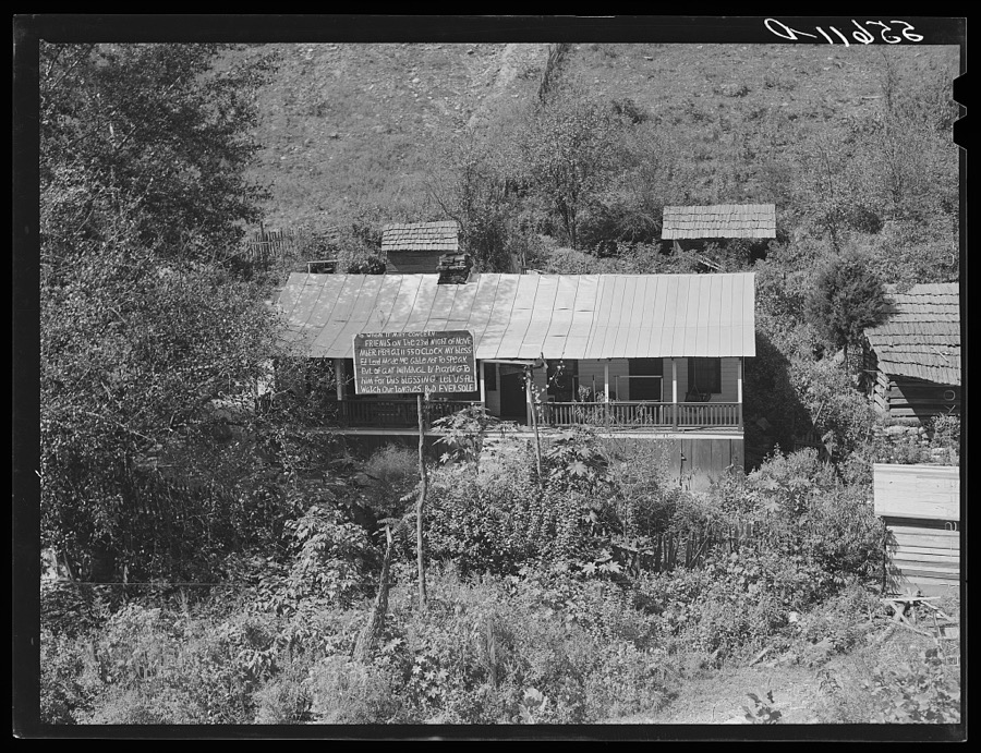
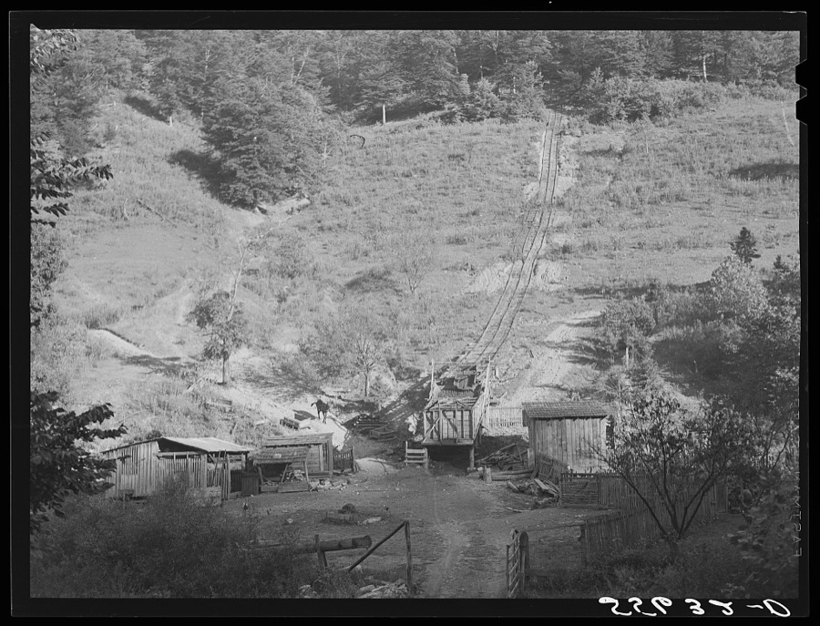
Every property in this county listed on the National Register of Historic Places, with the year it was listed and the federal nomination document.
| Photograph | Property | Type | Listed | Reference |
|---|---|---|---|---|
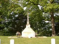 | Battle of Tebb's Bend Monument | object | 1997 | 97000668 |
 | Battle of Tebbs Bend | district | 1999 | 99000900 |
| Battle of Tebbs Bend (Boundary Increase) | district | 2006 | 06000807 | |
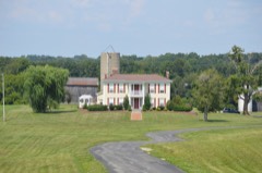 | James Caldwell House | building | 2011 | 11000681 |
 | Campbellsville Historic Commercial District | district | 1983 | 83002876 |
| Campbellsville Residential Historic District | district | 2008 | 08000011 | |
| Campbellsville School, Stadium and Athletic Field | building | 2007 | 06001195 | |
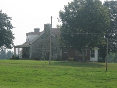 | John Chandler House | building | 1987 | 87000184 |
 | Clay Hill | building | 1975 | 75000835 |
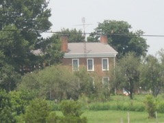 | Jonathan Cowherd Jr. House | building | 1977 | 77000649 |
 | Jacob Hiestand House | building | 1983 | 83002877 |
 | Merchant's Hotel | building | 1980 | 80001669 |
| Durham Sanders House | building | 1996 | 96000792 | |
| Isaac Tate Farm | district | 2004 | 04000802 | |
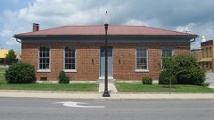 | Taylor County Clerk's Office | building | 1977 | 77000650 |
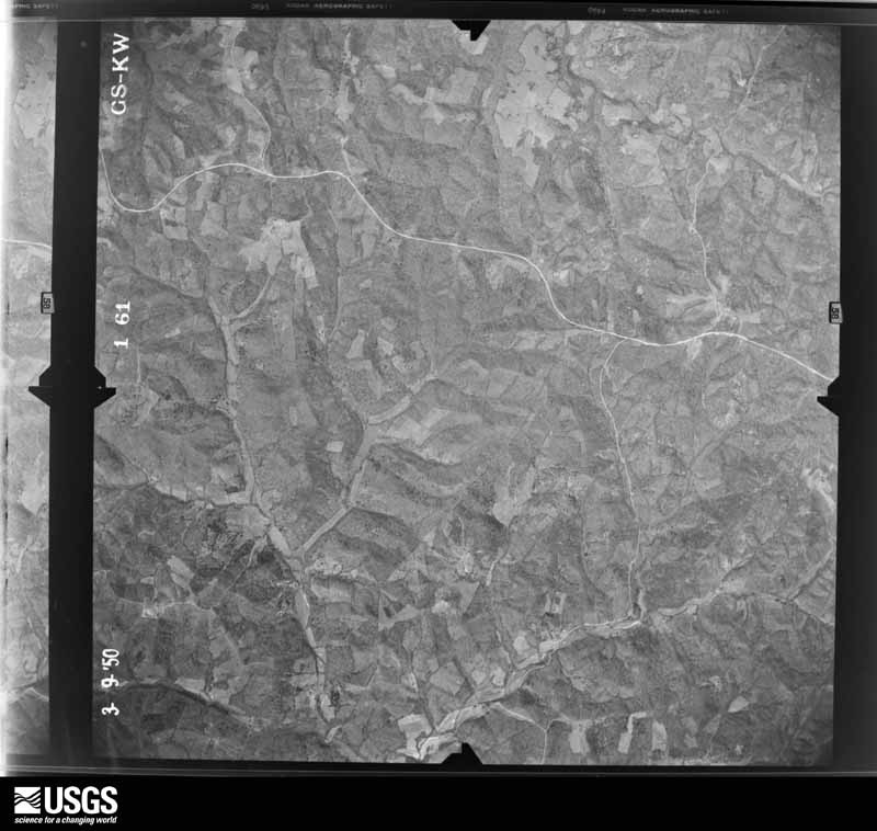
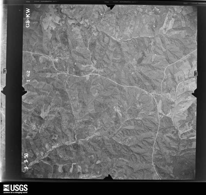
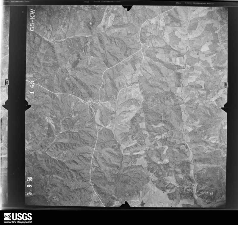
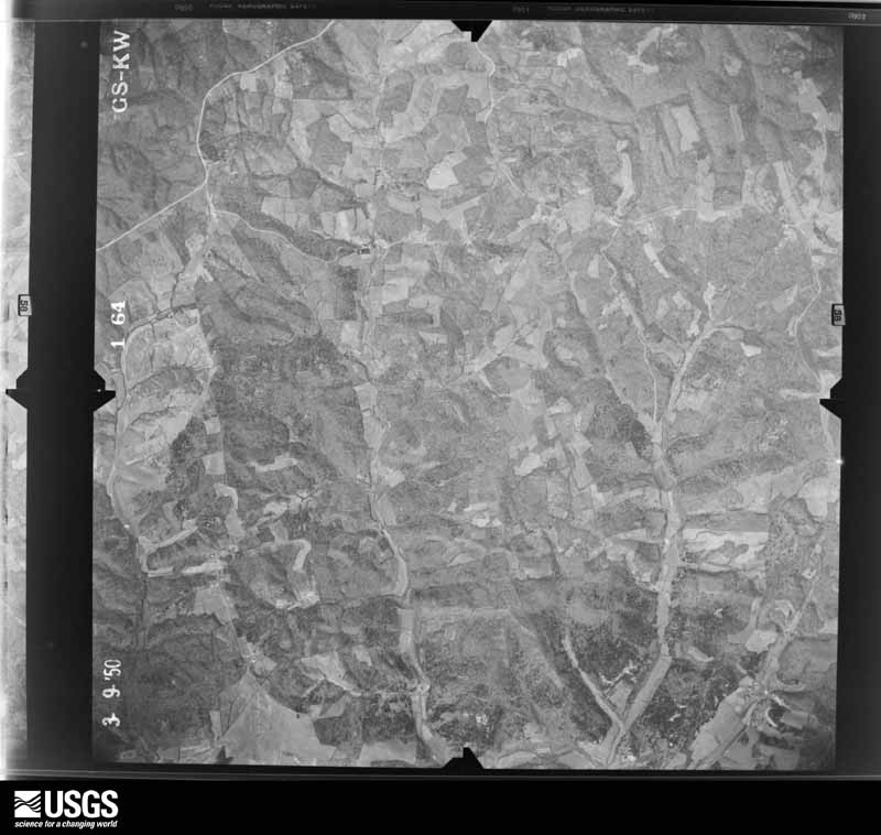
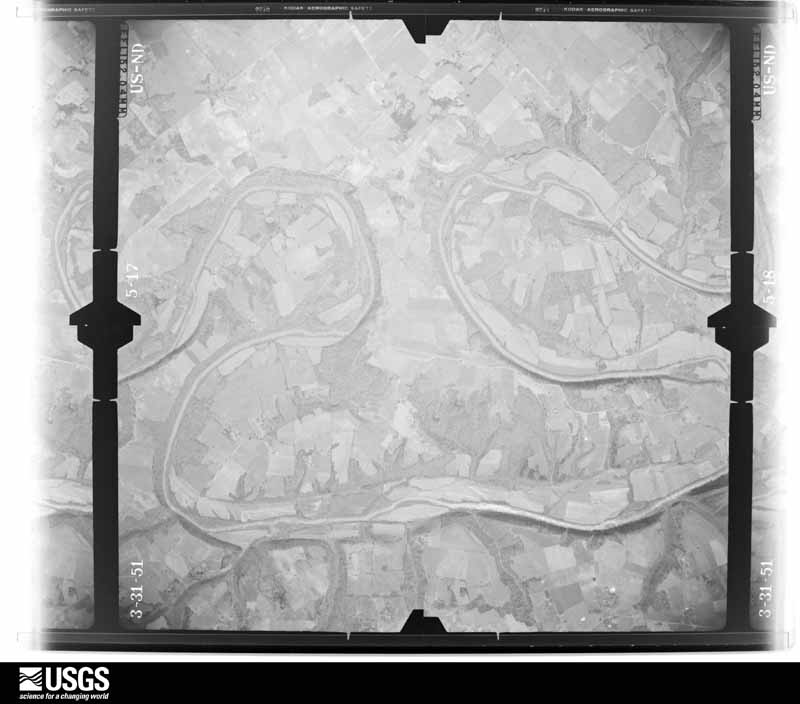
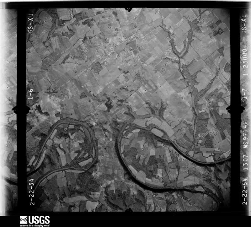
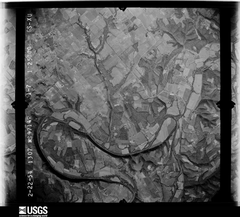
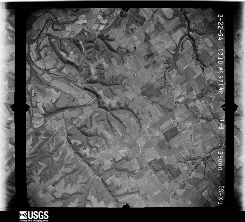
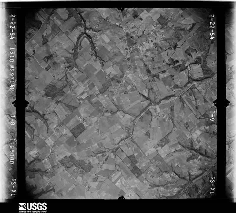
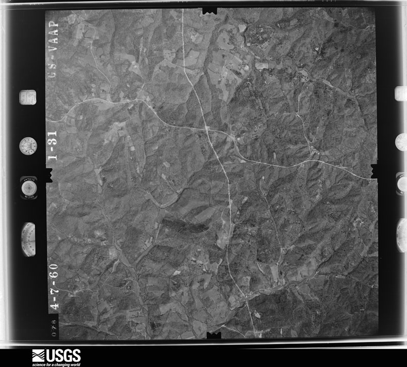
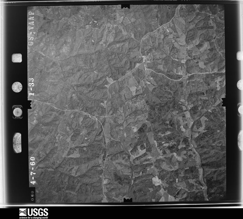
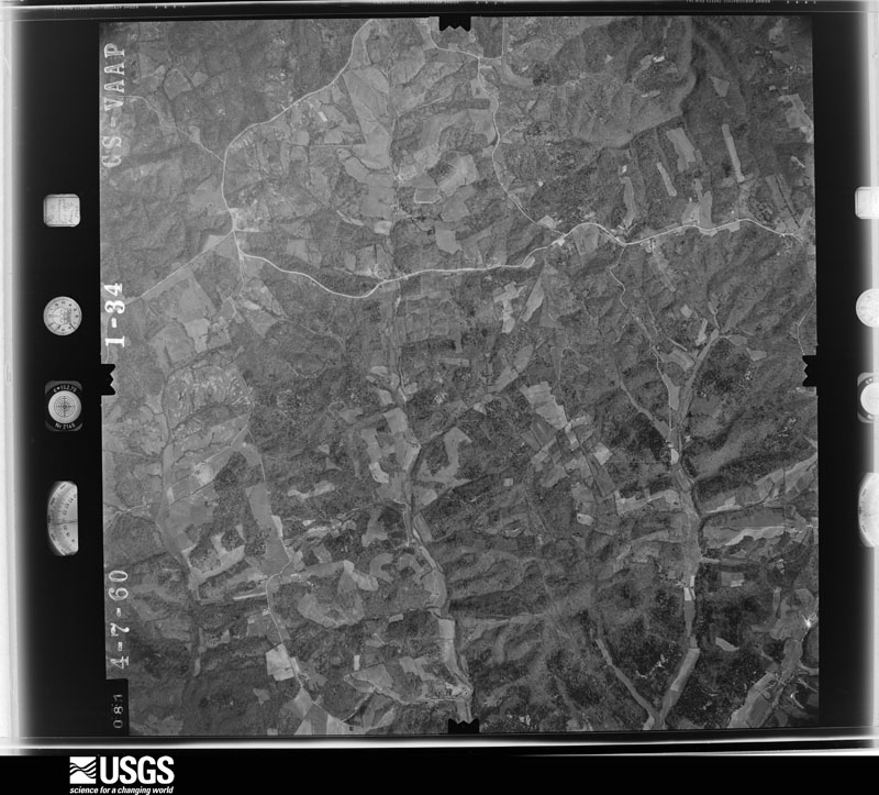
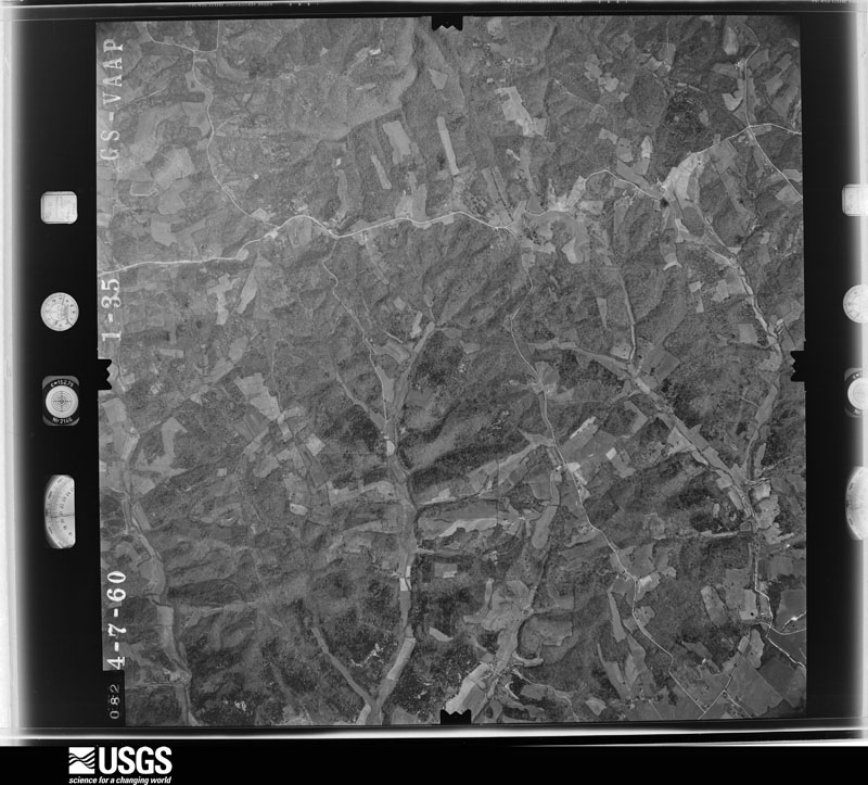
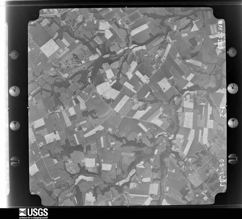
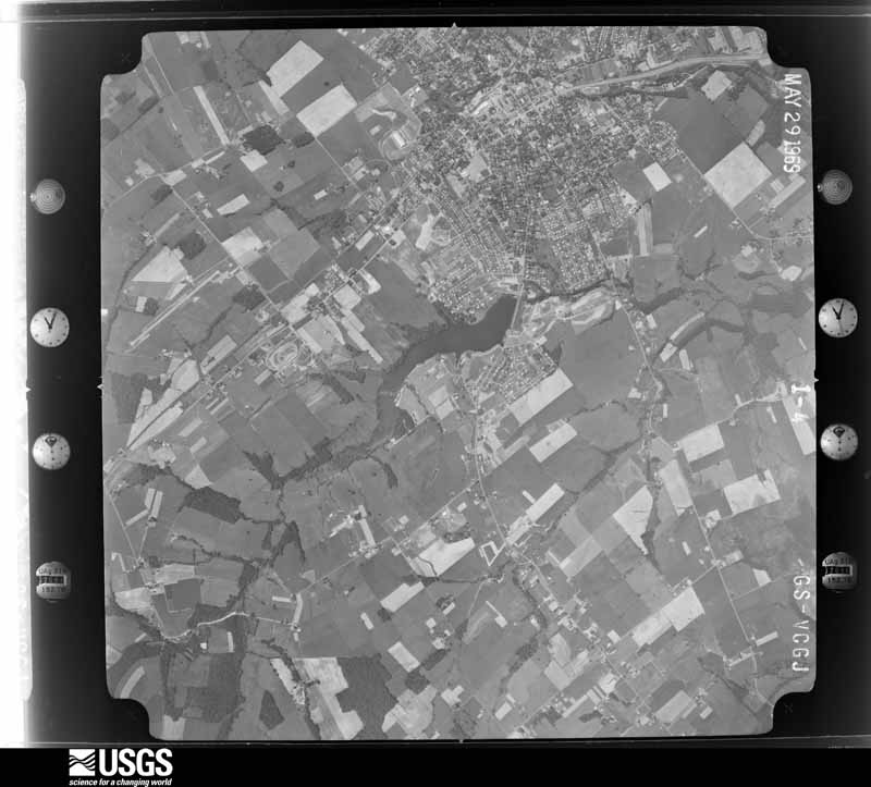
Flown by the U.S. Geological Survey between 1937 and 1989, the Aerial Photo Single Frames collection is the definitive mid-century view of the land: fields, roads and rivers as the camera saw them. The Survey holds 565 frames inside the rectangle that bounds this county; the 20 frames below were taken over the county itself, chosen across the decades of flights (at most four a year from that rectangle), so one flight cannot crowd out the rest. The full set is free to browse and download at EarthExplorer under the dataset Aerial Photo Single Frames.





The thermometers that kept this county's weather, and the gages that measured the flow of its streams, as the federal records hold them. The extremes below are measured values from those records, not estimates.
Who lived here in 1950, one enumeration district at a time, as the Census Bureau described each district. Each row opens its official National Archives result, with Population Schedules and ED Maps available there.
Every wildfire the federal occurrence database records inside this county: 73 of them, burning about 516 acres. 1 started naturally and 6 were recorded as arson. Each settlement page carries the fires within five miles of it.
| Reported cause | Fires |
|---|---|
| Missing data/not specified/undetermined | 29 |
| Debris and open burning | 22 |
| Recreation and ceremony | 12 |
| Arson/incendiarism | 6 |
| Smoking | 3 |
| Natural | 1 |
The five largest, by the area the report gives. None of them was recorded as arson.
| Date | Cause | Size | Reported by | Name on the report |
|---|---|---|---|---|
| 27 March 2006 | Missing data/not specified/undetermined | 60 acres | Kentucky Division of Forestry | not named |
| 18 March 1999 | Debris and open burning | 45 acres | Kentucky Division of Forestry | not named |
| 1 February 2014 | Missing data/not specified/undetermined | 33 acres | Kentucky Division of Forestry | EASTRIDGE |
| 9 March 2010 | Debris and open burning | 30 acres | Kentucky Division of Forestry | not named |
| 29 October 2008 | Debris and open burning | 25 acres | Kentucky Division of Forestry | not named |
| 4 December 1998 | Debris and open burning | 20 acres | Kentucky Division of Forestry | not named |
| 20 March 2010 | Debris and open burning | 20 acres | Kentucky Division of Forestry | not named |
| 12 November 2011 | Recreation and ceremony | 20 acres | Kentucky Division of Forestry | MANSVILLE |
Every settlement page carries the fires within five miles of it - see the settlement index below.
The NOAA Storm Events Database holds 348 reports for this county, causing 1 death, 97 injuries and about $4,017,500 in recorded property damage. Each settlement page carries the reports that name it.
| Kind of event | Reports |
|---|---|
| Thunderstorm Wind | 217 |
| Hail | 64 |
| Flash Flood | 43 |
| Tornado | 13 |
| Flood | 8 |
| Lightning | 2 |
| Heavy Rain | 1 |
The most serious of them, by death, then injury, then recorded damage. The accounts are quoted exactly as the forecast office filed them.
| When | Event | Place named | Harm | What the report says |
|---|---|---|---|---|
| December 2021 | Tornado (EF3) | Saloma | 1 killed, 30 hurt | This tornado formed approximately 1.7 miles west southwest of Saloma near Chaney Pike Road and tracked northeast for approximately 6.5 miles before crossing into southern Marion County. The tornado continued approximately 8 miles into Marion County before dissipating at 0336 EST. In Taylor County, The tornado first touched down near Chaney Pike Road and resulted in EF-1 damage to farm buildings and trees. The tornado continued off to the northeast and intensified as it moved toward Quisenberry Road. Several mobile homes were completely destroyed along Quisenberry Road, and this is where a fatality occurred. Aerial drone views showed extensive damage with path widths 200-300 yards wide. The tornado then impacted KY 527 (Saloma Road) where more structures had significant damage. At one particular residence, the entire second floor of the brick home was removed. Hundreds of trees near and just beyond the road had been snapped or uprooted. Damage in this area consisted of EF-1 to EF-2 ratings. The tornado continued to intensify to the northeast as it impacted Sanders Road. It was here where the worst damage (EF-3) was observed. Wide swaths of forest, over a quarter mile wide, were completely snapped or uprooted. Drone imagery showed some ground scarring in concentrated areas. Homes in the direct path of the tornado were severely damaged with no walls left standing. The tornado weakened some as it continued toward Marion County. Several homes had missing or severely damaged roofs near Old Lebanon Road. Trees were uprooted or snapped. Drone imagery continued to show damage paths nearly a quarter mile wide before the tornado entered Marion County. |
| April 1974 | Tornado (F4) | not stated | 53 hurt | no account filed |
| May 2006 | Thunderstorm Wind | Campbellsville | 5 hurt, $100,000 | Five people were injured when a movie gallery and a nearby restaurant were heavily damaged by thunderstorm winds. |
| May 2003 | Thunderstorm Wind | Campbellsville | 4 hurt, $40,000 | Occupants of a mobile home were injured when it was turned over by thunderstorm winds. |
| April 2025 | Tornado (EF1) | Burdick | 2 hurt | A storm damage team surveyed EF1 tornado damage with a max wind speed around 110 mph and a max width of 125 yards in Taylor County Kentucky. The tornado touched down southwest of Burdick along Milder Creek Road and Lemon Bend Road where cedar tree damage occurred. The tornado then continued between Joe Kerr Road and Gilpin Road, twisting trees and damaging a roof structure. The tornado then continued to Joe Kerr Road and Milder Creek Road, where it took a roof off a garage barn and did|damage to several trees. ||The tornado continued across KY Highway 55 and did tree damage along Lone Valley Road with several trees uprooted and large branches damaged. Damage continued to be observed to the northeast along Strawberry Farm Road where several trees were snapped for a max width of 125 yards. Nearby Tuckers Tiki Bar and Restaurant had significant roof damage where an estimated peak wind speed of 110 mph occurred with this tornado. ||The tornado moved to the east where tree damage occurred along State Park Road in Green River Lake State Park. The tornado continued skipping across mainly rural areas of Green River Lake State Park before significant damage occurred on County Park Road |in Taylor County Park, where several trees had been topped off or snapped. The tornado lifted after doing more tree damage at the end of Capps Road, just before going back over Green River Lake. |
| June 2001 | Thunderstorm Wind | Campbellsville | 1 hurt, $25,000 | One large tree was blown on to a resident's truck, sport utility vehicle, and motor boat. A person in one of the vehicles was injured. |
| August 1981 | Tornado (F2) | not stated | 1 hurt, $25,000 | no account filed |
| May 1998 | Thunderstorm Wind | Campbellsville | 1 hurt, $10,000 | no account filed |
| December 2015 | Thunderstorm Wind | Burdick | $400,000 | A NWS storm survey team concluded that a series of microbursts with a fast moving storm produced straight line wind damage in a swath up to 1/2 mile wide south of Campbellsville. Winds were estimated to be between 90 and 100 mph. Six barns or metal outbuildings received extensive damage, ranging from loss of roof panels to complete collapse of structures, with debris generally fanned out to the northeast. An RV was also destroyed when it was lifted off its blocks and pushed down a hill. |
| April 2007 | Thunderstorm Wind | Campbellsville | $300,000 | At a marina on the Green River Lake, there was wind damage to over 100 feet of dock, along with the metal roof over the dock. |
| June 1963 | Tornado (F1) | not stated | $250,000 | no account filed |
| July 2018 | Thunderstorm Wind | Lorain | $200,000 | Multiple trees were down on houses and vehicles in the Forest Hills subdivision. There were also reports of roofs gone and multiple trees down in the western and central part of the county. |
| December 2013 | Tornado (EF1) | Wrights | $200,000 | A storm survey confirmed a tornado that damaged the northern portion of Campbellsville. It touched down just west of the intersection of US 68 and Ky 323, where it destroyed several outbuildings. After crossing KY 210, it uprooted trees and damaged several buildings near the intersection of Hodgenville Road and Vintage Lane. Damage rated as EF-1 was surveyed as the tornado crossed Saloma Road and moved roughly parallel to and just north of Upper Miller Park Road. Several trees were toppled and several rooftops were damaged. After crossing the intersection of Eastern Drive and East Lake Drive, it brought additional roof and tree damage to locations near the intersection of US 68 and Palestine Road. At this point, the tornado lifted. |
| January 2008 | Thunderstorm Wind | Mac | $200,000 | Thunderstorm winds destroyed an older barn and heavily damaged a newer one to the west of Campbellsville. In the Mannsville area, straight line winds caused moderate to severe damage to a business. |
| July 1996 | Flash Flood | Countywide | $200,000 | no account filed |
| May 2014 | Thunderstorm Wind | Sweeneyville | $150,000 | A storm survey confirmed that widespread damage around Campbellsville was caused by straight line winds of between 70 and 75 mph. These winds were brought by a long lasting bow echo that originated an hour and one half earlier near Radcliff. The most concentrated damage occurred along a path from roughly 3 miles northwest of Campbellsville to one mile southeast of downtown. Near the intersection of Highways 883 and 210 northwest of town, a home had a recent addition blown off and an office outbuilding was thrown and flipped upside down. A farm had a silo and two sheet metal barns damaged. In Campbellsville, widespread tree damage was surveyed. A storage building connected with a florist shop had its roof removed. A resident's chimney was damaged, with bricks damaging several vehicles. Hail up to the size of ping pong balls was also reported. |
| July 2018 | Thunderstorm Wind | Campbellsville | $100,000 | The main propane tank was damaged at Ferrell Gas on South Columbia Avenue. They evacuated the area around the facility. |
| January 2008 | Thunderstorm Wind | Mac | $100,000 | Thunderstorm winds damaged the walls of a lumber company in Campbellsville. A lumber shed was flipped over and destroyed. Winds damaged a restaurant sign in Campbellsville. Thunderstorm winds also downed numerous trees. |
| May 2006 | Thunderstorm Wind | Campbellsville | $100,000 | One barn was destroyed and another was heavily damaged along Spurlington Church Road. Power lines were downed. |
| January 2004 | Flash Flood | Campbellsville | $100,000 | Trace, Wilson, and Buckhorn Creeks were out of their banks. Several residences along Buckhorn Creek were flooded and had to be evacuated. Burress Hollow Road was washed out. Water was over a bridge on South Jackson Street. Numerous streets and roads were covered by a foot or more of water. |
| May 2004 | Thunderstorm Wind | Campbellsville | $100,000 | In the Mannsville area, two trailers were destroyed and numerous trees were downed. |
| July 1999 | Thunderstorm Wind | Campbellsville | $100,000 | A severe thunderstorm with winds of approximately 70 mph hit the town of Cambellsville hard. Roofs were blown off buildings, including the Board of Education building in which water damage occurred to several computers and office equipment. Windows, including plate glass, were blown out of a businesses. A tree was blown onto a mobile home, breaking the home's windows. Also numerous trees and power lines were knocked down onto cars and homes. |
| May 1998 | Thunderstorm Wind | Campbellsville | $100,000 | no account filed |
| November 2017 | Tornado (EF1) | Hobson | $75,000 | This small, narrow squall-line spinup tornado moved over rural countryside, damaging or destroying a half dozen outbuildings and doing minor tree damage as it traveled east-southeast over three farmsteads. Only minor roof damage occurred to one home in its path. NWS Louisville thanks Taylor County Emergency Management for their assistance in this damage survey. |
| May 2003 | Thunderstorm Wind | Hobson | $60,000 | Roofs were blown off three buildings. |
| June 2018 | Thunderstorm Wind | Burdick | $50,000 | The emergency manager reported a downburst went through and caused damage roughly from Highway 55 to the Green River Marina. Part of the roof came off a garage and landed on a truck. A few trees were also snapped. Several houseboats had damage as well. |
| May 2017 | Thunderstorm Wind | Campbellsville | $50,000 | Trained spotters reported trees down and a roof blown off a home 2 miles northwest of Campbellsville. |
| April 2017 | Thunderstorm Wind | Campbellsville Arpt | $50,000 | Taylor County officials reported roof damage to the Fiesta Mexico restaurant. There was also a power line down nearby. |
| April 2007 | Tornado (EF0) | Spurlington | $50,000 | The tornado first destroyed a 2-car garage 0.4 miles south of KY 744 on Smith Chapel School Road. It skipped northeast, damaging trees and two homes. It lifted just north of KY 744. Wind speeds were estimated around 85 mph. |
| May 2004 | Thunderstorm Wind | Countywide | $50,000 | Buildings sustained roof damage and trees were downed across the northern part of the county. |
| April 2002 | Thunderstorm Wind | Campbellsville | $50,000 | There were numerous reports of structural damage to homes. Many trees were downed. |
| April 2002 | Thunderstorm Wind | Campbellsville | $50,000 | The roof was blown off one house and there was severe damage to another. |
| May 1995 | Thunderstorm Wind | Campbellsville | $50,000 | Many trees blown over onto top of garage. Many roads have also been reported underwater across the county. |
| May 2017 | Flash Flood | Campbellsville | $40,000 | The Taylor County emergency manager reported three water rescues in Campbellsville. |
| May 2000 | Thunderstorm Wind | Campbellsville | $35,000 | Numerous trees were downed. A barn had been picked up by an estimated 70 mph wind gust and thrown against a home. |
| June 2019 | Thunderstorm Wind | Campbellsville | $30,000 | There was damage to a baseball field stadium. |
| November 2017 | Thunderstorm Wind | Campbellsville | $30,000 | Law enforcement reported power lines down in the area. |
| May 2004 | Thunderstorm Wind | Countywide | $30,000 | Several trees were downed. One tree was blown on to a house, and another was blown on to a car. |
| March 2017 | Thunderstorm Wind | Finley | $25,000 | The Taylor County emergency manager reported a roof was partially blown off a home near the intersection of Feather Creek Road and Highway 289. |
| July 2016 | Thunderstorm Wind | Campbellsville | $25,000 | Local law enforcement reported numerous large trees down around the county. Many roads were blocked by downed trees. There was roof damage to a building near the Adair County line. |
| July 2004 | Thunderstorm Wind | Countywide | $25,000 | Numerous trees were downed countywide. A large tree was blown on to a house in Campbellsville. |
| April 1988 | Tornado (F0) | not stated | $25,000 | no account filed |
| August 1954 | Tornado (F2) | not stated | $25,000 | no account filed |
| June 2018 | Thunderstorm Wind | Campbellsville | $20,000 | Trees and power lines were reported down by the emergency manager. |
| March 2017 | Thunderstorm Wind | Arista | $20,000 | County officials reported that severe thunderstorm winds brought down power lines onto a house in north central Taylor County. |
| July 2016 | Thunderstorm Wind | Campbellsville | $20,000 | A trained spotter reported power lines down near the Amazon Fulfillment Center. |
| May 2010 | Flash Flood | Elk Horn | $20,000 | A swift water rescue occurred on Highway 70 east of Campbellsville. Two people were successfully rescued from their vehicle. |
| May 2010 | Flash Flood | Campbellsville | $20,000 | A water rescue was in progress at the time of the call with a car trapped on Lincoln Ave. The rescue was successful. |
| October 2007 | Thunderstorm Wind | Arista | $20,000 | Barns were blown down. The roof was blown off a metal building. |
| June 1998 | Thunderstorm Wind | Campbellsville | $20,000 | no account filed |
| January 1997 | Thunderstorm Wind | Campbellsville | $20,000 | no account filed |
| May 1996 | Thunderstorm Wind | Countywide | $20,000 | no account filed |
| November 2018 | Thunderstorm Wind | Hobson | $15,000 | There was a softwood tree down on a vehicle and another split tree on Dragway Lane. |
| July 2015 | Thunderstorm Wind | Campbellsville | $15,000 | A Kentucky state official reported multiple trees and power lines down due to severe thunderstorm winds. One power power line fell down on a car in Campbellsville. |
| July 2013 | Thunderstorm Wind | Campbellsville | $15,000 | Many trees and several structures were damaged by thunderstorm winds in Campbellsville. |
| August 2019 | Thunderstorm Wind | Sweeneyville | $10,000 | A tree was reported down on Old Hodgenville Road, and a power line was down on Smith Ridge Road. |
| August 2019 | Thunderstorm Wind | Sweeneyville | $10,000 | A large outbuilding that was under construction was heavily damaged along Noe Road. |
| June 2018 | Lightning | Sweeneyville | $10,000 | There was a report of lightning striking a residence. |
| May 2006 | Thunderstorm Wind | Campbellsville | $10,000 | Storefront windows were blown out on Main Street. Flying glass damaged a vehicle. |
| May 2004 | Thunderstorm Wind | Campbellsville | $10,000 | Aluminum siding was blown off a residence. |
The Survey's mineral resources record lists 1 working inside this county. It still produces. Each settlement page carries the workings within five miles of it.
| Commodity | Workings |
|---|---|
| Stone, Crushed/Broken | 1 |
The least common of them first, because a county's hundredth gravel pit says nothing its first ten did not.
| Where | Site | Commodity | Status | Recorded |
|---|---|---|---|---|
| Badger Mine and Mill | Stone, Crushed/Broken | Producer |
Named settlements recorded in the Geographic Names Information System, each with the topographic sheets covering it. Villages, hamlets and abandoned places alike. Each is shown with the nearest named watercourse or landform and the survey quadrangle it falls on. The 1 place that was also surveyed for fire insurance comes first, with the number of atlases and photographs held for them.
Campbellsville census division · 42718 · On Trace Fork · Campbellsville quadrangle
11 sheets, 1953 to 1986
Fire insurance: 7 atlases
Campbellsville census division · 42718 · On Opossum Branch · Mannsville quadrangle
9 sheets, 1952 to 1986
Campbellsville census division · 42718 · On Wee Yan Branch Robinson Creek · Campbellsville quadrangle
11 sheets, 1953 to 1986
Saloma census division · 42718 · On Locust Lick Branch · Greensburg quadrangle
9 sheets, 1954 to 1986
Campbellsville census division · 42733 · On Sprat Branch · Campbellsville quadrangle
11 sheets, 1953 to 1986
Saloma census division · 42718 · On Craig Creek · Spurlington quadrangle
9 sheets, 1953 to 1986
Mannsville census division · 40009 · On Sapp Branch · Bradfordsville quadrangle
9 sheets, 1952 to 1986
Saloma census division · 42718 · On Locust Lick Branch · Saloma quadrangle
9 sheets, 1953 to 1986
Campbellsville census division · 42718 · Near Green River Hill · Cane Valley quadrangle
12 sheets, 1953 to 1986
Campbellsville census division · 42718 · Near Smith Ridge · Campbellsville quadrangle
11 sheets, 1953 to 1986
Campbellsville census division · 42718 · On Buck Horn Creek · Greensburg quadrangle
9 sheets, 1954 to 1986
Saloma census division · 42718 · On Bull Tail Creek · Saloma quadrangle
9 sheets, 1953 to 1986
Saloma census division · 42718 · On McFarland Branch · Saloma quadrangle
9 sheets, 1953 to 1986
Campbellsville census division · 42733 · Near Cave Hollow · Mannsville quadrangle
9 sheets, 1952 to 1986
11 topographic sheets and 7 fire insurance atlases, 1886 to 1941