Block
From the record
69 National Register listings published here.
Sources: the National Register database, National Park Service
33 topographic sheets and 7 fire insurance atlases across 1 place.
69 National Register listings published here.
Sources: the National Register database, National Park Service
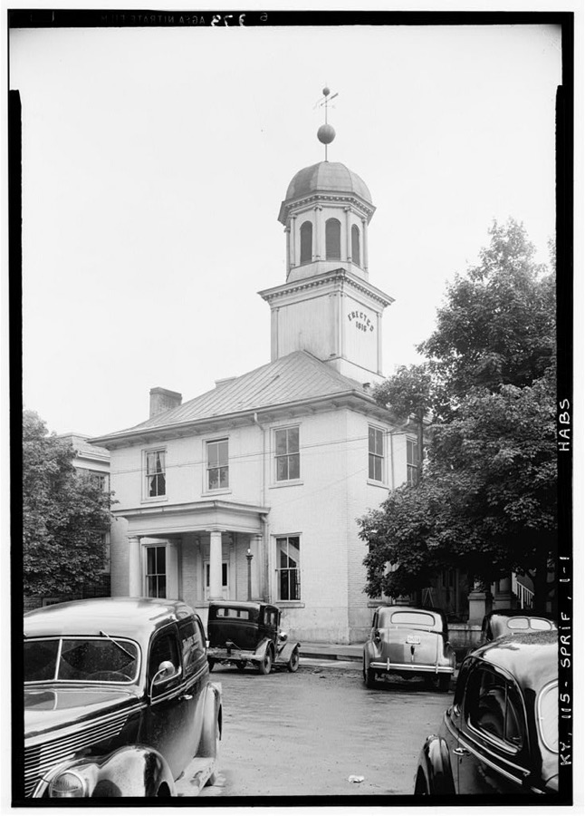
Taken for the Office of War Information and the Farm Security Administration, who photographed the country between 1935 and 1944. Works of United States government photographers, with no known restriction on use. Each opens its catalogue record.
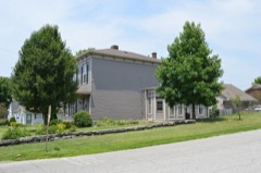
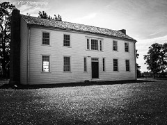
Every property in this county listed on the National Register of Historic Places, with the year it was listed and the federal nomination document.
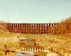
Washington County has 1 covered bridge on the National Register. Each is a listed structure with a federal nomination on file.
 | Mount Zion Covered Bridge | Listed 1976 |
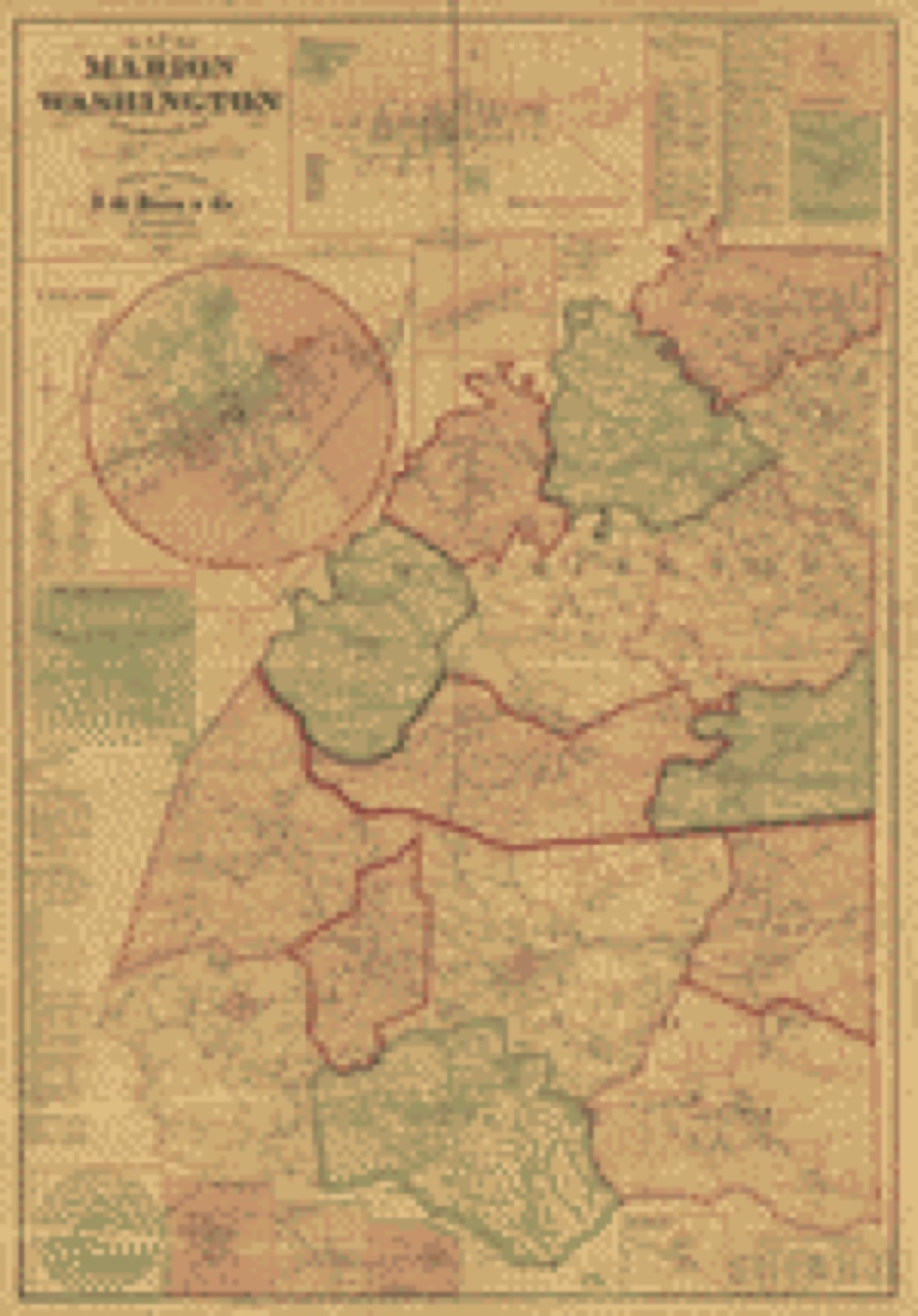
Drawn when these were printed as single large sheets: the town seen from the air, and the county divided into its farms with every owner named. Each opens the original at the Library of Congress.
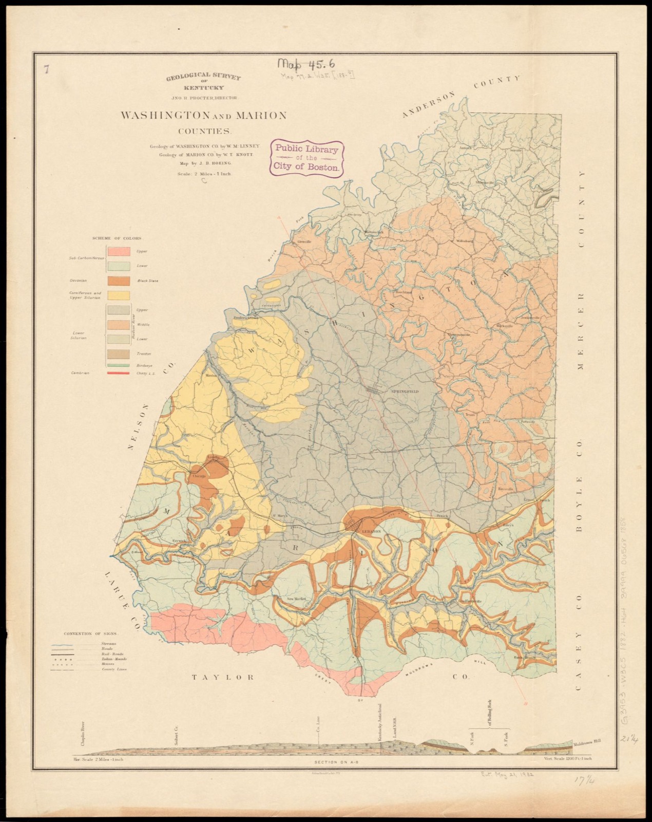
Selected from the Digital Public Library of America's 2 image records catalogued for this county. Every one shown here carries a public-domain status or a licence that permits reuse on a site that carries advertising; non-commercial, share-alike and restricted images are excluded. The selection is spread across the county's towns (at most eight per town), so no single institution's bulk upload crowds out the rest. Each opens the holding library's record, and the complete set at the Digital Public Library of America is one click away.

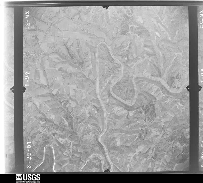
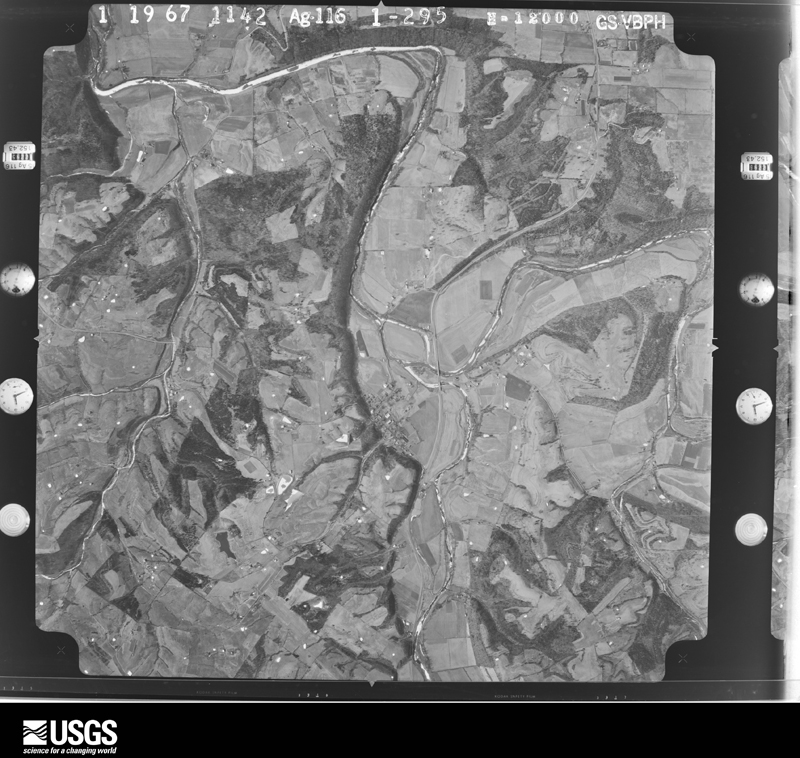
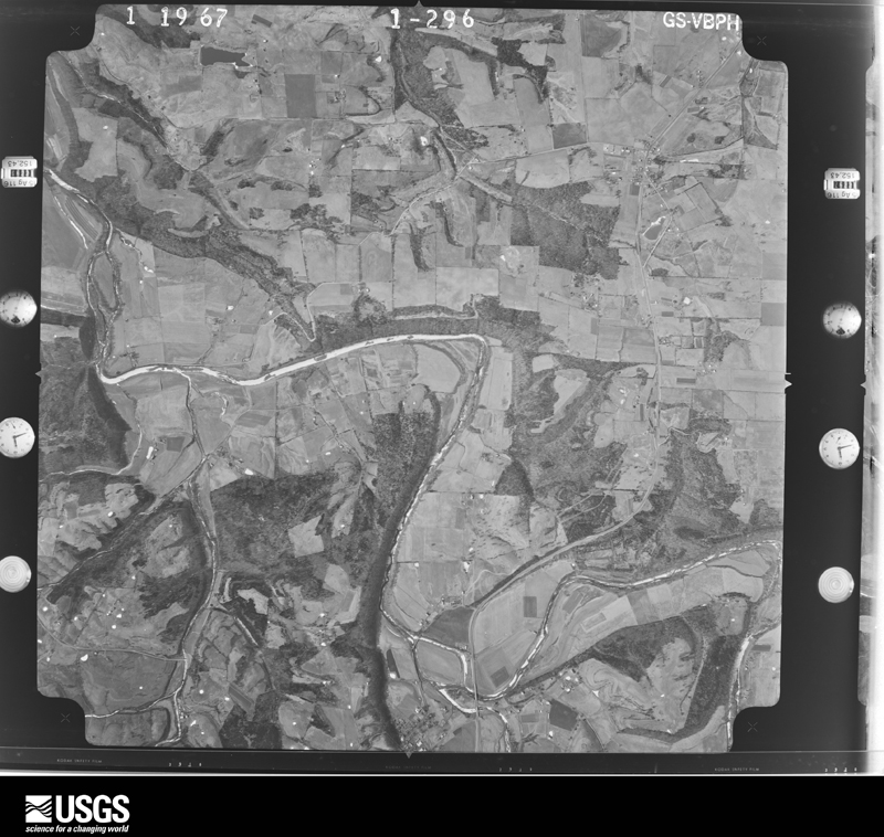
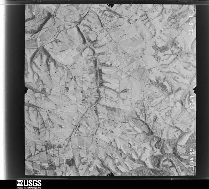
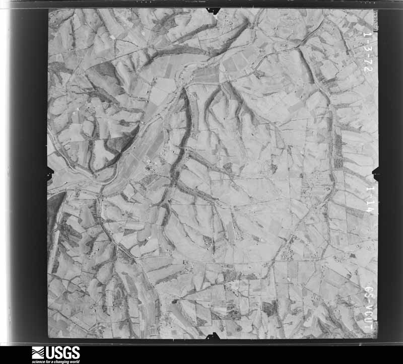
Flown by the U.S. Geological Survey between 1937 and 1989, the Aerial Photo Single Frames collection is the definitive mid-century view of the land: fields, roads and rivers as the camera saw them. The Survey holds 457 frames inside the rectangle that bounds this county; the 14 frames below were taken over the county itself, chosen across the decades of flights (at most four a year from that rectangle), so one flight cannot crowd out the rest. The full set is free to browse and download at EarthExplorer under the dataset Aerial Photo Single Frames.









The thermometers that kept this county's weather, and the gages that measured the flow of its streams, as the federal records hold them. The extremes below are measured values from those records, not estimates.
Who lived here in 1950, one enumeration district at a time, as the Census Bureau described each district. Each row opens its official National Archives result, with Population Schedules and ED Maps available there.
Every wildfire the federal occurrence database records inside this county: 3 of them, burning about 96 acres. None started naturally and 1 was recorded as arson. Each settlement page carries the fires within five miles of it.
| Reported cause | Fires |
|---|---|
| Recreation and ceremony | 1 |
| Arson/incendiarism | 1 |
| Missing data/not specified/undetermined | 1 |
The five largest, by the area the report gives. One of them was set deliberately.
| Date | Cause | Size | Reported by | Name on the report |
|---|---|---|---|---|
| 27 February 2004 | Missing data/not specified/undetermined | 80 acres | Kentucky Division of Forestry | not named |
| 3 October 2019 | Arson/incendiarism | 15 acres | Kentucky Division of Forestry | DEEP CREEK |
| 24 October 2010 | Recreation and ceremony | 1.0 acres | Kentucky Division of Forestry | TEXAS ROAD |
Every settlement page carries the fires within five miles of it - see the settlement index below.
The NOAA Storm Events Database holds 163 reports for this county, causing 3 deaths, 24 injuries and about $1,346,000 in recorded property damage. Each settlement page carries the reports that name it.
| Kind of event | Reports |
|---|---|
| Thunderstorm Wind | 100 |
| Hail | 27 |
| Flash Flood | 21 |
| Tornado | 9 |
| Flood | 6 |
The most serious of them, by death, then injury, then recorded damage. The accounts are quoted exactly as the forecast office filed them.
| When | Event | Place named | Harm | What the report says |
|---|---|---|---|---|
| May 2025 | Tornado (EF2) | Pottsville | 1 killed, 14 hurt | An NWS damage survey team determined that an EF2 tornado with peak winds of 125 mph, maximum width of 450 yards, and track length of 5.55 miles initially touched down on the morning of Friday, May 30th in southeastern Washington County, Kentucky. ||The tornado touched down on a ridgetop near the|intersection of Coyle Lane and Long Run Road, initially snapping|and twisting some hardwood trees, and throwing a chicken cage|almost a quarter mile to the northeast of the path. From there, the|tornado quickly intensified into solid EF-2 strength as a vortex|within the parent circulation produced a third of a mile long|swath of intense damage starting only about 100-200 yards from|the touchdown point. Here, a well built barn with living quarters|was completely swept off the concrete foundation and thrown into|the valley below. Sill plates were anchored to the concrete|foundation, so construction was good, however three large overhead|doors likely contributed to the demise of the structure as they|faced the direction of the tornado path directly. Eyewitness|accounts from inside the structure said the overhead doors caved|inward first, and then the whole building went. Several occupants|were thrown into the valley below among the debris, but|miraculously survived.||From there, the intense EF2 vortex traveled east-northeast across Long Run|Road and completely destroyed another structure/home just to the |east of the road. Here, debris from the complete destruction of |the home was thrown about 75 yards directly to the north of the |path into a ravine. Sadly, one occupant of the home was killed, |with at least two others injured. The foundation of this structure|was on cinder blocks, with quite a bit of open space beneath the |floor. Peak winds reached 125 mph for both of these structures, |with broader EF1 damage noted on either side of the path. Peak |width was right at a quarter of a mile, or roughly 450 yards here |before the tornado narrowed considerably and weakened.||EF1 strength winds continued along and just north of Long Run |Road as the tornado traveled ESE toward the Boyle County line. |
| June 2020 | Flash Flood | Willisburg | 1 killed, 1 hurt, $30,000 | A driver on Lawrenceburg Road noticed a white Ford Explorer that had washed off the road in flood waters. He then noticed an elderly man and woman were still in the vehicle with water up to their necks. Rescuers broke out windows on the vehicle and pulled the couple out just as it filled completely with flood water. Both were unconscious when they were pulled out; the woman was resuscitated at the scene, but her husband never regained consciousness and died later that afternoon after they were both transported to a local hospital. |
| February 2025 | Flood | Thompsonville | 1 killed, $10,000 | A 79 year old woman left the roadway on the 3300 block of Tick Creek Road and drown in a creek that would have normally had less water in it. Damage to the vehicle is unknown. |
| April 2000 | Tornado (F1) | Willisburg | 4 hurt, $70,000 | The tornado destroyed two mobile homes and a tobacco barn. It also did roof, siding, and chimney damage to several homes, and damaged vehicles. |
| May 2002 | Hail | Springfield | 3 hurt, $150,000 | Hail damaged many homes and vehicles. |
| April 2000 | Thunderstorm Wind | Countywide | 1 hurt, $120,000 | Two trailers were completely destroyed west of Willisburg, with one person injured. Several barns were destroyed, and house windows were blown out. |
| November 2000 | Tornado (F1) | Sharpsville | 1 hurt, $10,000 | A resident observed a funnel cloud before taking shelter. The tornado blew in his back door, shattering the glass. The man was injured by flying glass. |
| August 2003 | Thunderstorm Wind | Mackville | $125,000 | A barn was blown on to Cardwell Road. Another barn collapsed on Kelly Shop Road. The roof was blown off a mobile home on Cardwell Road. |
| March 2017 | Thunderstorm Wind | Willisburg | $75,000 | A one-half mile long area of straight-line wind damage was surveyed southwest of Willisburg. The most significant damage was to a sturdy Amish school house that lost part of its roof, and to a nearby home that had lost the vertical supports to its front porch when the roof briefly lifted. Several trees were also downed and minor roof damage occurred to two outbuildings. |
| May 2010 | Flood | Springfield | $75,000 | Six to eight inches of rain across Spencer county May 1-2 led to areal flooding in spots across the county on the 2nd. |
| March 2002 | Thunderstorm Wind | Countywide | $75,000 | Widespread wind damage was reported around the county. Two barns and two silos were destroyed. Power lines were downed. |
| June 2020 | Flash Flood | Thompsonville | $60,000 | Three homes were flooded on Mayes Creek Road. |
| February 2008 | Tornado (EF1) | Jimtown | $60,000 | The tornado touched down on Pleasant Drive about two miles southeast of Springfield. It was embedded within an area of straight-line wind damage. The tornado blew the roof off a house, and threw it about 125 yards downwind. Several pine trees were snapped and small outbuildings were destroyed. A 14 inch diameter pine tree was snapped and moved about 45 yards downwind as well. |
| June 2020 | Flash Flood | Croakes | $50,000 | Several homes had water damage near Fredericktown, and one vehicle was submerged. |
| May 2017 | Hail | Springfield | $50,000 | Local broadcast media received multiple reports of golf ball sized hail. |
| May 2016 | Hail | Mackville | $50,000 | Golf ball to egg size hail fell, which damaged car windshields and house siding. |
| June 2007 | Thunderstorm Wind | Springfield | $50,000 | A garage was damaged along Highway 152 east of Springfield. Numerous trees were downed in Springfield and elsewhere in Washington County. Power was out to much of the city of Springfield for two hours after the storm passed. |
| May 2003 | Thunderstorm Wind | Mackville | $50,000 | Thunderstorm wind destroyed a barn, ripped shingles off a house, and did unspecified damage to a car. |
| May 1995 | Hail | not stated | $50,000 | Several reports of window and car damage from golf ball-size hail reported by public. |
| April 2000 | Thunderstorm Wind | Mooresville | $35,000 | A shed housing farm equipment and a barn were destroyed. |
| November 2000 | Thunderstorm Wind | Texas | $30,000 | no account filed |
| March 2019 | Thunderstorm Wind | Cardwell | $20,000 | A barn blew down on Caldwell Road in north Washington County, Kentucky. |
| March 2006 | Thunderstorm Wind | Springfield | $20,000 | The roof was blown off a barn in Springfield. |
| November 2000 | Tornado (F1) | St Catherine | $20,000 | A barn was destroyed and a post was pulled out of the ground along with the concrete base. The barn owner reported seeing a funnel cloud before impact. |
| March 2017 | Thunderstorm Wind | Willisburg | $15,000 | The southwest corner of a large, well-constructed barn was blown in, with several roofing panels removed. |
| February 2008 | Tornado (EF2) | Deep Creek | $15,000 | This tornado touched down on Russell Lane about eight miles east-northeast of Springfield. The tornado completely blew away a large, well-constructed out-building. Six-by-six inch posts were snapped and piled up, while metal sheeting was blown about a quarter of a mile away. Concrete joists weighing two hundred pounds were displaced. |
| January 1999 | Thunderstorm Wind | Countywide | $15,000 | Trailer split in two |
| March 1997 | Tornado (F0) | Springfield | $15,000 | no account filed |
| April 1996 | Thunderstorm Wind | Willisburg | $1,000 | no account filed |
| June 2025 | Flash Flood | Fredricktown | - | Flash flooding and a mudslide occurred along US Route 150 near mile marker 3 in Washington County. |
| June 2025 | Flash Flood | Battle | - | A water rescue was performed for a person whose vehicle became trapped in flood waters along East Fork Road near Mackville. |
| June 2025 | Flash Flood | Fredricktown | - | US Route 150 was closed near Mayfield Lane due to flash flooding. |
| April 2025 | Thunderstorm Wind | Cisselville | - | A large tree fell down across Cissellville Road near Loretto Road. |
| April 2025 | Flash Flood | Tatham Spgs | - | Water was flowing over Tatum Springs Road near Glens Creek. |
| April 2025 | Flash Flood | Booker | - | Water was flowing over Grundy Home Road. |
| April 2024 | Tornado (EF0) | Tatham Spgs | - | As the tornado was exiting Nelson County and entering Washington County, it was weakening as it crossed Kentucky 555 and the Chaplain River. There were a few top trees and wind speeds had decreased to 75 mph with a width of 60 yards before the tornado lifted. This EF1 tornado traveled a total of 5.02 miles from where it began near Maude Cooksey Lane and Hagan Lane in Nelson County to where it ended in Washington County. |
| September 2024 | Thunderstorm Wind | Springfield | - | Trees were damaged and power lines were blown down in Springfield. |
| September 2024 | Thunderstorm Wind | Springfield | - | Structural damage occurred to the baseball field at Idle Hour Park. Scattered tree damage was observed throughout the park. |
| August 2024 | Thunderstorm Wind | Willisburg | - | Power lines were down. |
| August 2024 | Thunderstorm Wind | Mackville | - | A large tree and power lines were down in Mackville. |
| January 2023 | Thunderstorm Wind | Lebanon Spgfld Arpt | - | AWOS at Lebanon-Springfield Airport observed a wind gust of 50 knots. |
| July 2023 | Thunderstorm Wind | Pulliam | - | A tree was blown down over Chaplin Road. |
| July 2023 | Thunderstorm Wind | Battle | - | A tree was blown down over the road. Dime sized hail was also observed. |
| May 2022 | Thunderstorm Wind | St Catherine | - | A large tree was blown down on State Route 55 near Shay Lane. |
| August 2021 | Thunderstorm Wind | Springfield | - | Three small trees fell down. |
| April 2020 | Thunderstorm Wind | Pulliam | - | There was structural and tree damage along Brush Grove Road. |
| July 2020 | Thunderstorm Wind | St Catherine | - | Dispatch reported trees down 1 mile north of 150. |
| July 2020 | Thunderstorm Wind | Pleasant Grove | - | Dispatch reported trees down on Thurman Road. |
| July 2020 | Thunderstorm Wind | Willisburg | - | A tree blew down in Willisburg. |
| June 2020 | Flash Flood | Springfield | - | There were multiple reports of flooded roadways across the county including Lincoln Park Road and Highway 150 near Springfield. |
| June 2020 | Flash Flood | Willisburg | - | A state highway department official stated that roads that don't normally flood where flooding across the northern part of the county. |
| June 2020 | Flash Flood | Willisburg | - | A road was impassable due to flash flooding. |
| June 2020 | Flash Flood | Willisburg | - | Water up to 10 feet deep was flowing over Lawrenceburg Road. |
| November 2019 | Flash Flood | Rineltown | - | There were numerous county roads flooded and closed. One road was Tick Creek Road near Springfield, Kentucky. |
| June 2018 | Flood | Cisselville | - | Water was reported over the roadway at Saint Rose Road and Booker Road. |
| June 2018 | Thunderstorm Wind | Brush Grove | - | Tree reported down on Polin Road. |
| June 2018 | Thunderstorm Wind | Cardwell | - | Tree down on Cardwell Road. |
| June 2018 | Thunderstorm Wind | Mooresville | - | Trees down on Hayes Lane. |
| June 2018 | Thunderstorm Wind | Kirkland | - | Multiple trees down in the area due to severe thunderstorm winds. |
| June 2018 | Thunderstorm Wind | Battle | - | Trees down on Rush Run Lane. |
The Survey's mineral resources record lists 1 working inside this county. It still produces. Each settlement page carries the workings within five miles of it.
| Commodity | Workings |
|---|---|
| Limestone, General | 1 |
The least common of them first, because a county's hundredth gravel pit says nothing its first ten did not.
| Where | Site | Commodity | Status | Recorded |
|---|---|---|---|---|
| Nally & Gibson Springfield | Limestone, General | Producer |
Named settlements recorded in the Geographic Names Information System, each with the topographic sheets covering it. Villages, hamlets and abandoned places alike. Each is shown with the nearest named watercourse or landform and the survey quadrangle it falls on. The 1 place that was also surveyed for fire insurance comes first, with the number of atlases and photographs held for them.
Springfield census division · 40069 · Near Cemetery Hill · Springfield quadrangle
9 sheets, 1953 to 1981
Fire insurance: 7 atlases
Springfield census division · 40330 · On East Fork Glens Creek · Cardwell quadrangle
7 sheets, 1953 to 1981
Springfield census division · 40069 · On Shay Branch · Springfield quadrangle
9 sheets, 1953 to 1981
Willisburg census division · 40078 · On Grove Branch · Brush Grove quadrangle
8 sheets, 1953 to 1981
Willisburg census division · 40330 · On Caney Branch · Cardwell quadrangle
7 sheets, 1953 to 1981
Springfield census division · 40069 · On Allen Branch · Saint Catharine quadrangle
7 sheets, 1953 to 1981
Springfield census division · 40069 · On Cartwright Creek · Maud quadrangle
9 sheets, 1953 to 1981
Willisburg census division · 40069 · On Steep Hollow Branch · Brush Grove quadrangle
8 sheets, 1953 to 1981
Willisburg census division · 40078 · On Rush Run · Cardwell quadrangle
7 sheets, 1953 to 1981
No longer a settlement
Springfield census division · 40040 · On Isham Branch · Mackville quadrangle
7 sheets, 1953 to 1981
Springfield census division · 40069 · Near Cemetery Hill · Springfield quadrangle
9 sheets, 1953 to 1981
Springfield census division · 40069 · On Mays Creek · Brush Grove quadrangle
8 sheets, 1953 to 1981
Springfield census division · 40040 · On Isham Branch · Mackville quadrangle
7 sheets, 1953 to 1981
Springfield census division · 40069 · On Station Run · Loretto quadrangle
8 sheets, 1953 to 1981
Willisburg census division · 40078 · Chaplin quadrangle
9 sheets, 1952 to 1981
No longer a settlement
Springfield census division · 40069 · Near Mayo Hill · Maud quadrangle
9 sheets, 1953 to 1981
Springfield census division · 40069 · On Pleasant Run · Springfield quadrangle
9 sheets, 1953 to 1981
No longer a settlement
Springfield census division · 40069 · On Yokum Branch · Brush Grove quadrangle
8 sheets, 1953 to 1981
Willisburg census division · 40078 · On Lick Creek · Brush Grove quadrangle
8 sheets, 1953 to 1981
Springfield census division · 40069 · On Turkey Creek · Mackville quadrangle
7 sheets, 1953 to 1981
Springfield census division · 40069 · On Mill Creek · Springfield quadrangle
9 sheets, 1953 to 1981
Springfield census division · 40069 · On Walker Run · Saint Catharine quadrangle
7 sheets, 1953 to 1981
Willisburg census division · 40078 · Near Durr Hill · Ashbrook quadrangle
9 sheets, 1952 to 1981
Willisburg census division · 40330 · On Traces Creek · Cardwell quadrangle
7 sheets, 1953 to 1981
Willisburg census division · 40078 · Near Careys Island · Cardwell quadrangle
7 sheets, 1953 to 1981
Springfield census division · 40069 · On East Fork Beech Fork · Mackville quadrangle
7 sheets, 1953 to 1981
Springfield census division · 40069 · On Road Run · Maud quadrangle
9 sheets, 1953 to 1981
Willisburg census division · 40078 · On Little Rock Run · Brush Grove quadrangle
8 sheets, 1953 to 1981
The vanished settlements of Washington County: the places named above that are no longer on the map.
9 topographic sheets and 7 fire insurance atlases, 1886 to 1942
The complete index, with nothing left out. Each of these is a separate record with its own page: a federal survey report, or the case file that argued a property on to the National Register. Both are public domain and reproduced word for word.
The vanished settlements of Washington County, the places these records name that are no longer on the map.