 Block
From the record
3 National Register listings published here.
Sources: the National Register database, National Park Service
47 topographic sheets and 10 fire insurance atlases across 3 places.
3 National Register listings published here.
Sources: the National Register database, National Park Service
Taken for the Office of War Information and the Farm Security Administration, who photographed the country between 1935 and 1944. Works of United States government photographers, with no known restriction on use. Each opens its catalogue record.
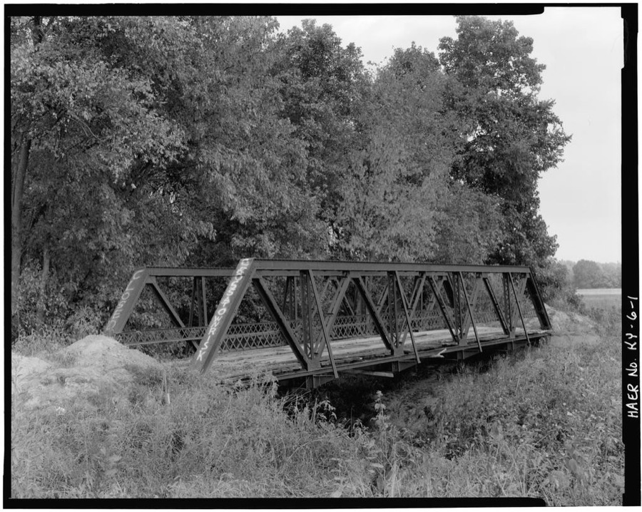
Every property in this county listed on the National Register of Historic Places, with the year it was listed and the federal nomination document.
| Photograph | Property | Type | Listed | Reference |
|---|---|---|---|---|
 | McMullin-Warren House | building | 1988 | 88000185 |
 | Providence Commercial Historic District | district | 1993 | 93000042 |
 | Webster County Courthouse | building | 1991 | 91000924 |
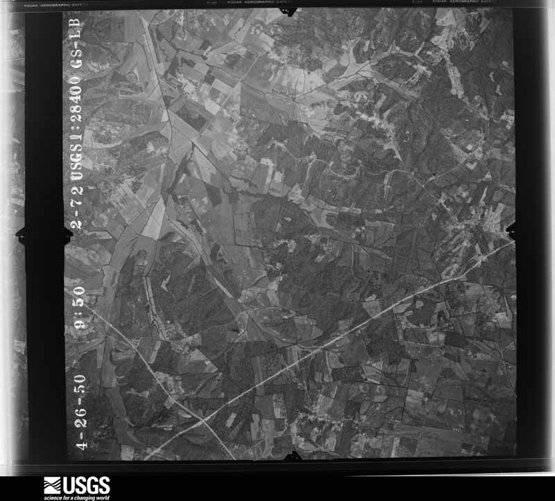
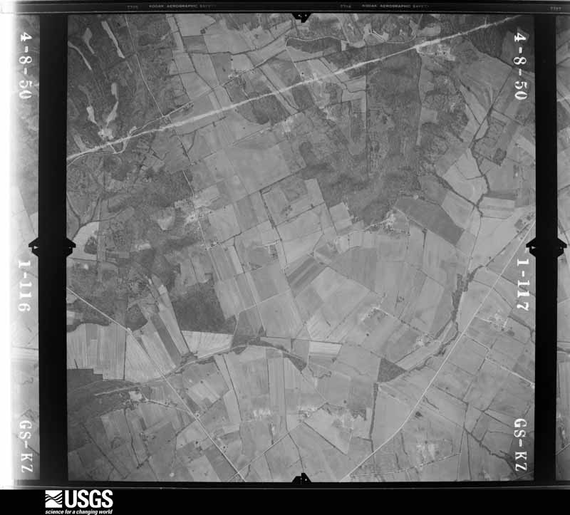
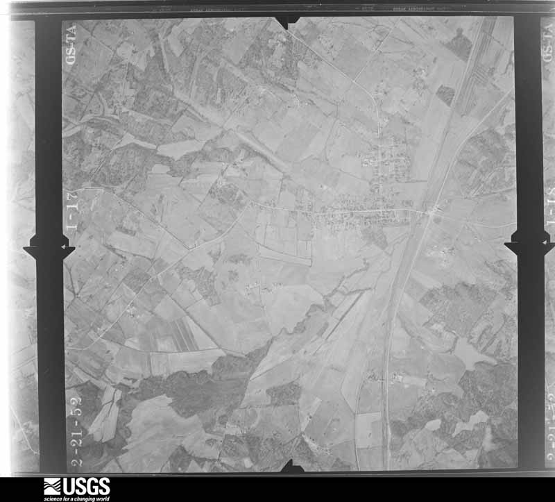
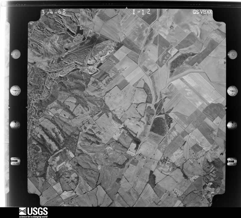
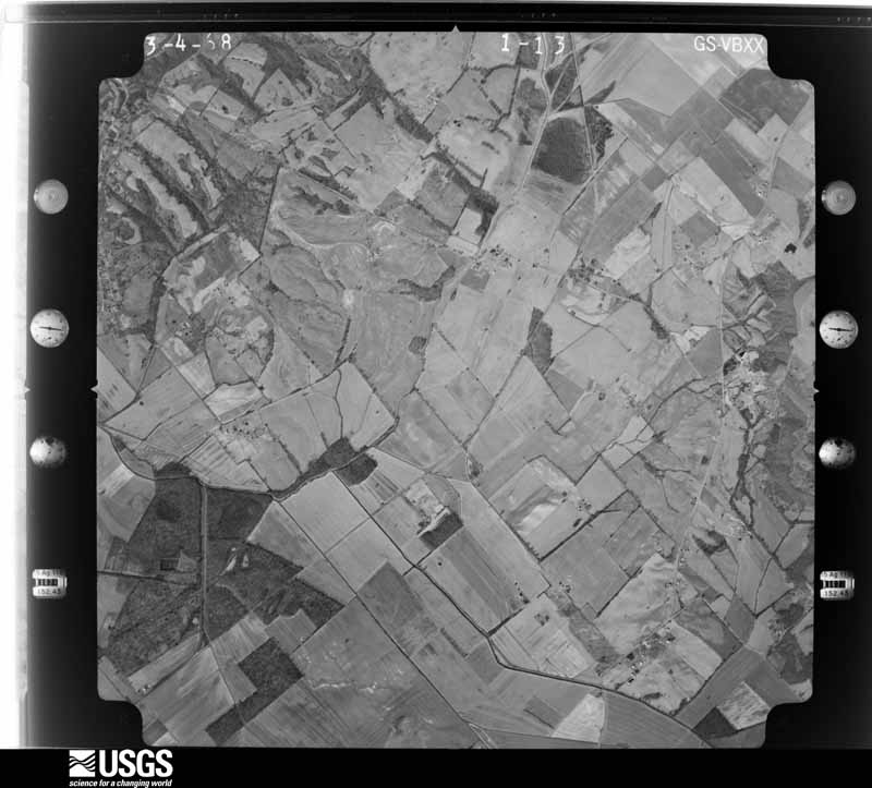
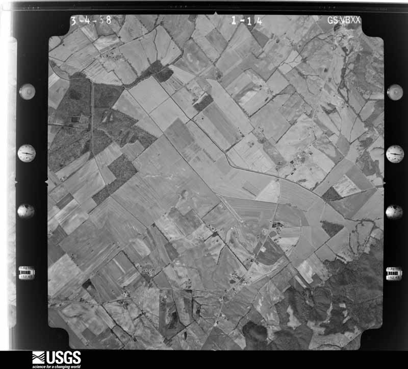
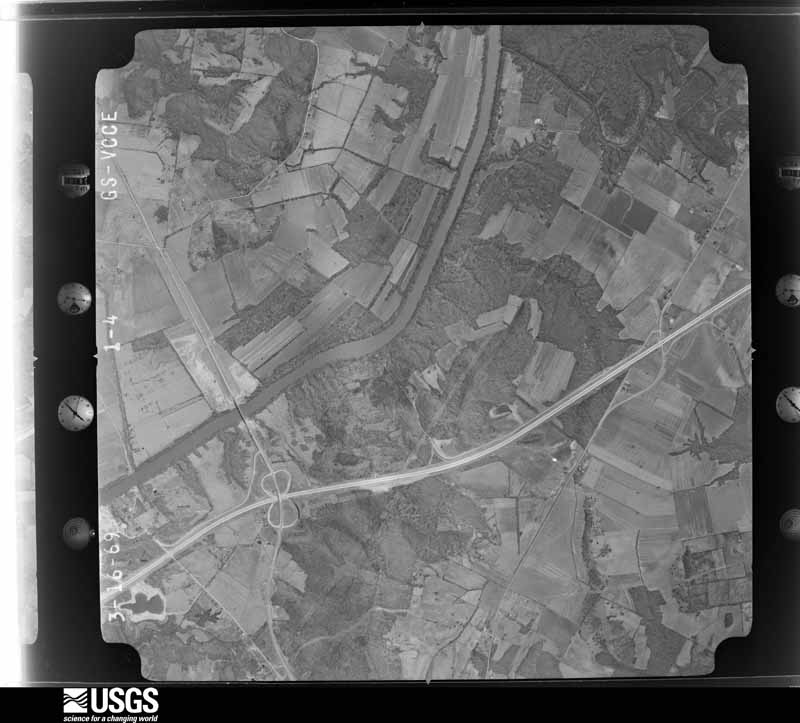
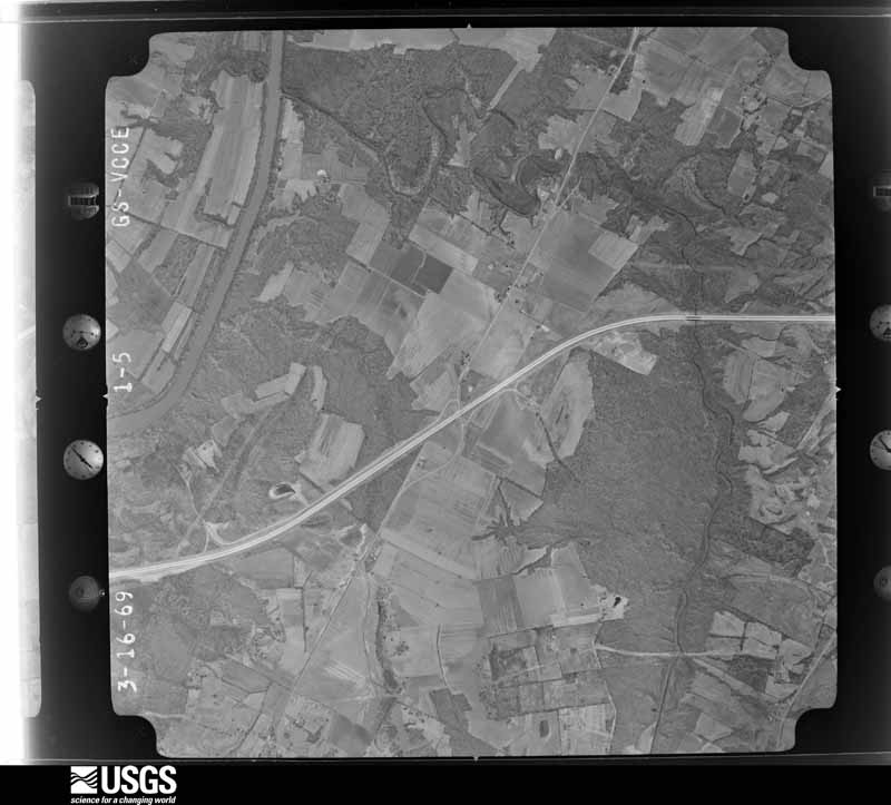
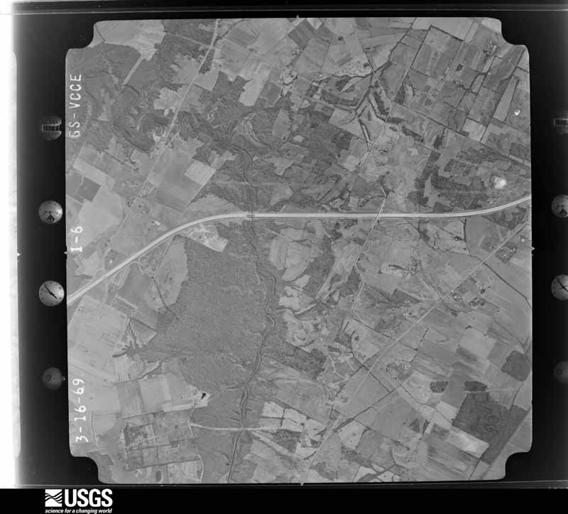
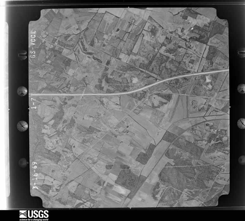
Flown by the U.S. Geological Survey between 1937 and 1989, the Aerial Photo Single Frames collection is the definitive mid-century view of the land: fields, roads and rivers as the camera saw them. The Survey holds 633 frames inside the rectangle that bounds this county; the 20 frames below were taken over the county itself, chosen across the decades of flights (at most four a year from that rectangle), so one flight cannot crowd out the rest. The full set is free to browse and download at EarthExplorer under the dataset Aerial Photo Single Frames.










The thermometers that kept this county's weather, as the federal records hold them. The extremes below are measured values from those records, not estimates.
Who lived here in 1950, one enumeration district at a time, as the Census Bureau described each district. Each row opens its official National Archives result, with Population Schedules and ED Maps available there.
Every wildfire the federal occurrence database records inside this county: 87 of them, burning about 1,672 acres. 1 started naturally and 16 were recorded as arson. Each settlement page carries the fires within five miles of it.
| Reported cause | Fires |
|---|---|
| Missing data/not specified/undetermined | 35 |
| Debris and open burning | 18 |
| Arson/incendiarism | 16 |
| Recreation and ceremony | 8 |
| Railroad operations and maintenance | 4 |
| Equipment and vehicle use | 3 |
| Misuse of fire by a minor | 2 |
| Natural | 1 |
The five largest, by the area the report gives. Four of them were set deliberately.
| Date | Cause | Size | Reported by | Name on the report |
|---|---|---|---|---|
| 14 October 2000 | Arson/incendiarism | 180 acres | Kentucky Division of Forestry | not named |
| 1 October 1998 | Arson/incendiarism | 175 acres | Kentucky Division of Forestry | not named |
| 24 June 2012 | Debris and open burning | 122 acres | Kentucky Division of Forestry | PLASTIC FI |
| 6 March 2000 | Arson/incendiarism | 100 acres | Kentucky Division of Forestry | not named |
| 1 November 2000 | Arson/incendiarism | 90 acres | Kentucky Division of Forestry | not named |
| 26 February 2006 | Missing data/not specified/undetermined | 90 acres | Kentucky Division of Forestry | not named |
| 12 November 2005 | Missing data/not specified/undetermined | 65 acres | Kentucky Division of Forestry | not named |
| 11 March 2002 | Debris and open burning | 60 acres | Kentucky Division of Forestry | not named |
Every settlement page carries the fires within five miles of it - see the settlement index below.
The NOAA Storm Events Database holds 218 reports for this county, causing 2 deaths, 40 injuries and about $29,211,000 in recorded property damage. Each settlement page carries the reports that name it.
| Kind of event | Reports |
|---|---|
| Thunderstorm Wind | 81 |
| Hail | 53 |
| Flash Flood | 25 |
| Tornado | 22 |
| Flood | 20 |
| Heavy Rain | 8 |
| Funnel Cloud | 6 |
| Lightning | 3 |
The most serious of them, by death, then injury, then recorded damage. The accounts are quoted exactly as the forecast office filed them.
| When | Event | Place named | Harm | What the report says |
|---|---|---|---|---|
| April 1956 | Tornado (F3) | not stated | 1 killed, 2 hurt, $25,000 | no account filed |
| March 2006 | Flash Flood | Slaughters | 1 killed, $20,000 | A 46-year-old female drowned while attempting to cross floodwaters on Kentucky 138. The victim was swept away after she got out of her car, which was partially moved off the road. Her body was found three-tenths of a mile from her car. |
| April 2002 | Tornado (F3) | Providence | 26 hurt, $15,000,000 | The tornado crossed southern Webster County, producing major damage as it paralleled Highway 120 through Providence. About two dozen persons were injured, and they were transported by ambulance to regional hospitals. One person was critically injured. The tornado produced F-3 damage in Providence, then weakened to an F-2 tornado just east of the city limits. The tornado struck a mobile home park in Providence, destroying 16 of the 20 mobile homes there. About 10 permanent homes were destroyed, and about 100 more homes were damaged. |
| October 2007 | Tornado (EF2) | Dixon | 5 hurt, $2,500,000 | Three residences were destroyed, and ten others were damaged. Four of the damaged residences were deemed uninhabitable. Six chicken houses were destroyed. A rehabilitation center for troubled young adults received about 2 million dollars in damage. Four persons were seriously injured, and a fifth person received minor injuries. One of the injuries occurred when the tornado picked up a vehicle and tossed it. The occupant of the vehicle was ejected. The other four injuries occurred at a modular home on Kentucky 494. The modular home was nearly obliterated, with debris blown across nearby fields. The home's steel frame was thrown about 300 feet. All four occupants were seriously injured, including broken vertebrae and a punctured lung. Numerous roads were blocked by downed trees. Peak winds were estimated at 135 mph. The average path width was 250 yards. |
| April 2011 | Tornado (EF2) | Tilden | 2 hurt, $500,000 | This tornado entered from Union County along Highway 56 and exited into Henderson County near Poole. While over Webster County, roofs were completely removed from three homes on the north and west side of Poole. Several homes in Poole suffered partial loss of shingles and damage caused primarily by falling trees. Several garages were damaged or destroyed in Poole. Several grain bins and barns were destroyed along the Union County line along Highway 56 and a secondary road. Two grain bins were wrapped around the back side of a house. Numerous trees were snapped or uprooted. The average path width was 150 yards. Peak winds were estimated near 125 mph. |
| May 1967 | Tornado (F2) | not stated | 2 hurt, $250,000 | no account filed |
| April 1989 | Tornado (F2) | not stated | 1 hurt, $2,500,000 | no account filed |
| May 2003 | Tornado (F2) | Clay | 1 hurt, $1,000,000 | In Clay, 6 homes and 2 businesses were destroyed. An additional 45 homes and 4 businesses received varying degrees of damage, ranging from minor to major. A woman was injured when a tree fell and landed on her, breaking her hip. Peak winds were estimated near 125 MPH. One of the destroyed businesses was a hardware store. The other business, on the north side of Clay, housed spring planting supplies. That business lost four metal buildings. Numerous trees and power lines were blown down. |
| April 2011 | Lightning | Shelton | 1 hurt | A man was slightly injured when lightning struck a tree near him, shocking him and throwing him backward. |
| January 2000 | Tornado (F3) | Diamond | $2,400,000 | The tornado caused extensive damage in the community of Diamond. Both Crittenden and Webster Counties were declared federal disaster areas. |
| May 2011 | Flood | Bellville | $1,500,000 | no account filed |
| May 2011 | Thunderstorm Wind | Onton | $1,000,000 | On Highway 147, four chicken houses were destroyed. The chicken houses were about 500 feet long and 50 feet wide. Seven or eight utility poles were down. |
| November 2017 | Thunderstorm Wind | Providence | $450,000 | A microburst with estimated wind speeds near 75 mph downed hundreds of trees and limbs in and near Providence. Numerous trees were snapped or uprooted. The damage path was approximately 1.25 miles long across the community of Providence. At least 50 homes sustained partial shingle loss or structural damage. A porch was blown off one home. A wall was blown out of a barn. Garage doors were blown in at a residence. Widespread damage was observed across town. Numerous power lines were down, and the entire community of Providence was without power. |
| May 2003 | Tornado (F1) | Clay | $350,000 | Three large chicken houses were destroyed at a chicken farm on the south side of Highway 109. Peak winds were estimated near 105 MPH. The houses contained about 100,000 chickens, most of which survived. |
| November 2005 | Thunderstorm Wind | Dixon | $250,000 | A 64 MPH wind gust was measured by a trained spotter in Dixon. The south portion of the high school in Dixon received major damage. A portion of the roof was damaged, as well as several classrooms, anexit door and hallway. Some parts of the school sustained water damage. At a golf course in Dixon, a trailer used as a business office was destroyed. Numerous trees were blown down. On Kentucky 132 near Sebree, a mobile home was overturned. |
| September 2006 | Tornado (F1) | Dixon | $150,000 | Most of the structural damage from this tornado occurred in Dixon, where two homes received major damage, and numerous others sustained minor damage. There was extensive roof damage at an apartment building and a grocery store in Dixon. Damage to roofs and outbuildings was the most common type of damage. A total of 28 structures were damaged, mostly due to falling trees. All along the tornado path, numerous trees were uprooted or topped, and some utility poles were snapped. Some trees fell across roads, blocking them. Kentucky Highway 138 was blocked for a time. Other trees fell on structures such as the grocery store in Dixon. Peak winds were estimated near 110 MPH. In Dixon, a wind gust to 111 MPH was measured by the deputy emergency management director using Davis wind equipment. This tornado was spawned by the same supercell thunderstorm that produced a tornado in Crittenden County. |
| May 2004 | Tornado (F1) | Providence | $150,000 | Around 30 homes were damaged by this tornado that tracked across the southern and eastern fringe of Providence. Several homes received major damage, in excess of ten thousand dollars each. About a dozen homes were moderately damaged, and the rest had minor damage. On Highway 120, a delivery truck was pushed over onto a car. Twelve utility poles were replaced. Much of the damage was caused by fallen trees. Peak winds in this tornado were estimated near 100 MPH. |
| May 2011 | Thunderstorm Wind | Elmwood | $90,000 | Ten power poles were blown down along U.S. Highway 41 between Sebree and Slaughters. A wooden barn was destroyed just west of Highway 41. |
| July 2012 | Lightning | Webster Co Arpt | $80,000 | Lightning struck an oil storage tank, causing a large explosion. The top of one of the tanks landed on U.S. Highway 41-A. Two other tanks caught fire. U.S. Highway 41-A was closed for at least several hours. The explosion damaged some power lines at the site, causing a power outage. |
| December 2015 | Thunderstorm Wind | Catesville | $75,000 | About midway between Dixon and Slaughters, a path of damage was investigated by a National Weather Service meteorologist. The damage path was one-half mile wide and about three miles long. Two unanchored very old sheds were destroyed. The steel roof was partially peeled off a new metal building under construction. Numerous tree limbs were blown down, along with many dead or rotten trees. The state road department cleared dozens of trees or limbs from roads. |
| November 2005 | Tornado (F2) | Blackford | $75,000 | The tornado crossed into Webster County from Crittenden County and moved rapidly east-northeast. The track ended on the north side of the community of Wheatcroft. Most of the damage occurred along and near Highway 109 around Wheatcroft, the only community directly affected by the tornado. West of Wheatcroft, there was slight structural damage, and trees were snapped. A large shed door was blown off, and pillar columns on a house were bent. On the north side of Wheatcroft, a tool shed was destroyed and two campers were overturned. A pickup truck without an engine was rolled about 200 feet. The hood of the truck went through a window. Smaller trees and a house antenna were blown down. |
| March 1997 | Flash Flood | Dixon | $70,000 | no account filed |
| May 1996 | Thunderstorm Wind | Providence | $50,000 | no account filed |
| October 2019 | Thunderstorm Wind | Sebree | $40,000 | Sebree received several limbs and trees down from the storm. Some limbs landed on vehicles, and shingle damage was reported throughout town. A corn maze that was being operated in the Sebree-Slaughters area was knocked down. |
| July 2016 | Thunderstorm Wind | Clay | $40,000 | Multiple trees and power lines were blown down in and around Clay. Some of the trees blocked streets. A tree fell on a house. Several trees fell across power lines, bringing down power poles. |
| July 2016 | Flash Flood | Sebree | $40,000 | Several homes were flooded in Sebree. Emergency management personnel reported high water on streets. |
| June 2013 | Thunderstorm Wind | Onton | $40,000 | A roof was blown off a home, and there was other damage to the structure. Several trees and power lines were blown down in the same area. |
| March 2009 | Tornado (EF1) | Dixon | $40,000 | Peak winds in this very brief tornado were estimated near 95 mph. Four outbuildings were destroyed. A garage and a camper were damaged. |
| May 2016 | Thunderstorm Wind | Dixon | $38,000 | Near and south of Dixon along U.S. Highway 41A, several trees were down, roofs were damaged, and a small farm building was destroyed. |
| June 2019 | Thunderstorm Wind | Providence | $30,000 | A microburst snapped numerous large tree limbs and uprooted a few trees as it moved east through Providence. Large trees and power lines were down, including trees on houses. In particular, numerous trees were down in the Baptist Hill area on the west side of town. |
| November 2017 | Thunderstorm Wind | Clay | $30,000 | A metal farm equipment shed was destroyed. Debris blocked State Highway 132. Another shed lost a small portion of its metal roof. Trees were blown down in the same area. |
| February 2014 | Tornado (EF0) | Wheatcroft | $30,000 | Several small trees and tree limbs were broken. There was minor roof damage to one barn. Peak winds were estimated near 75 mph. |
| October 2000 | Thunderstorm Wind | Wheatcroft | $30,000 | Several buildings in the Clay and Wheatcroft areas sustained damage due to powerful thunderstorm winds. A metal roof blew off the old John Deere building in Clay, and it landed in a yard. Another metal building used to store farm equipment sustained extensive roof and wall damage. |
| June 1998 | Thunderstorm Wind | Clay | $25,000 | Thunderstorm winds caused extensive damage to a house. Part of the house was unroofed, and a wall collapsed. |
| July 1997 | Thunderstorm Wind | Onton | $25,000 | Two chicken houses under construction were knocked to the ground, and two others were damaged. Construction workers were inside at the time, but no one was injured. |
| January 2013 | Flash Flood | Providence | $20,000 | Emergency management officials reported multiple state roads closed due to flooding. Two individuals were rescued from the top of a flooded vehicle. |
| May 2011 | Flash Flood | Diamond | $20,000 | Highway 109 was closed five miles northwest of Providence. Highway 109 was reduced to one lane at the bridge south of town. |
| April 2011 | Thunderstorm Wind | Providence | $20,000 | In Clay, several trees were blown down. One of the trees fell on a car. Carports and fences were damaged on Kentucky Highway 132. In Providence, several tree limbs and power lines were down. |
| October 2009 | Lightning | Dixon | $20,000 | Lightning struck a house on U.S. Highway 41-A. The lightning damaged several appliances. A telephone line was shredded. The bolt exited the house on the back side, ripping pieces of vinyl siding at the exit point. The house sustained unspecified damage inside. |
| January 2000 | Flash Flood | Countywide | $20,000 | no account filed |
| June 2007 | Thunderstorm Wind | Clay | $15,000 | About half of a roof was blown off a house. The roofing landed on a second house. Several trees and numerous power lines were down. |
| May 2025 | Thunderstorm Wind | Diamond | $10,000 | KYTC reported trees were downed on KY-132, KY-138, and KY-1525 in Webster County. Time estimated from radar and location approximate. |
| June 2022 | Thunderstorm Wind | Providence | $10,000 | Lots of large tree limbs and power lines were blown down throughout town. |
| March 2019 | Thunderstorm Wind | Clay | $10,000 | In downtown Clay, there was shingle damage to a business, and trees were down. |
| June 2018 | Thunderstorm Wind | Clay | $10,000 | A utility pole was snapped, causing a power outage. Pieces of a roof were blown off a pole barn garage. Several tree limbs were down in the area. |
| June 2014 | Tornado (EF1) | Rock Spg | $10,000 | The tornado moved from Union County into Webster County in a partially wooded area. Several trees were snapped or uprooted. One barn was damaged. This short-lived tornado was west-northwest of Wheatcroft. Peak winds were estimated near 110 mph. |
| June 2014 | Thunderstorm Wind | Clay | $10,000 | Trees and limbs were blown down along Route 109 between the communities of Clay and Providence. |
| June 2013 | Thunderstorm Wind | Poole | $10,000 | Trees and power lines were down in the Dixon and Poole areas. Highway 41A was down to one lane 1.5 miles south of Poole due to a power line down. |
| February 2011 | Flash Flood | Clay | $10,000 | A few state highways were closed by flooding. State Highway 132 was closed between Dixon and Clay due to high water. Two vehicles were abandoned. State Highway 138 was closed near Slaughters. Between Sebree and Dixon, Kentucky 283 was closed a couple miles north of 132. Several other county roads and state highways in the west half of the county were covered with water, including Highway 1340. One vehicle became stranded in flood waters, and water entered the driver's compartment. The driver was rescued uninjured by county rescue crews. |
| May 2010 | Flood | Clay | $10,000 | Kentucky Highway 801 was closed due to a mudslide at mile markers 5 and 6. Kentucky Highways 696 and 138 were closed in spots. |
| June 2002 | Thunderstorm Wind | Poole | $10,000 | The steeple was blown off a church, damaging the church's roof and the sidewalk below. |
| June 1998 | Thunderstorm Wind | Dixon | $10,000 | Thunderstorm winds caused major damage at Webster County High School. A section of roof about 30 by 100 feet was ripped off the center of the school. Some roofing was blown several hundred feet away. |
| May 2016 | Hail | Providence | $10,000 | no account filed |
| May 2025 | Thunderstorm Wind | Wheatcroft | $8,000 | KYTC reported trees were downed on KY-493 and KY-132 in Webster County. Time estimated from radar and location approximate. |
| March 2019 | Tornado (EF0) | Pratt | $8,000 | Numerous shingles were blown off a house. A couple trees were uprooted. Large branches were down. Peak winds were estimated near 85 mph. A funnel cloud was reported near Poole shortly before this tornado. The tornado continued into Henderson County. |
| May 1998 | Thunderstorm Wind | Sebree | $6,000 | Several trees and power lines were down. |
| June 2000 | Thunderstorm Wind | Wheatcroft | $5,000 | Several trees were down. |
| June 1999 | Thunderstorm Wind | Sebree | $5,000 | Numerous trees and limbs were down. Highway maintenance workers spent several hours clearing them from roadways. |
| June 1998 | Thunderstorm Wind | Tilden | $5,000 | Trees were blown down. |
| July 1997 | Thunderstorm Wind | Dixon | $5,000 | A tree and some power lines were down. |
The Survey's mineral resources record lists 2 workings inside this county. None of them still produces: all are closed or unrecorded. Each settlement page carries the workings within five miles of it.
| Commodity | Workings |
|---|---|
| Clay | 2 |
The least common of them first, because a county's hundredth gravel pit says nothing its first ten did not.
| Where | Site | Commodity | Status | Recorded |
|---|---|---|---|---|
| Highway Junction Shale | Clay | Unknown | ||
| Nesbit Hill Shale | Clay | Prospect |
Named settlements recorded in the Geographic Names Information System, each with the topographic sheets covering it. Villages, hamlets and abandoned places alike. Each is shown with the nearest named watercourse or landform and the survey quadrangle it falls on. The 3 places that were also surveyed for fire insurance come first, with the number of atlases and photographs held for them.
Clay census division · 42404 · Providence quadrangle
12 sheets, 1909 to 1983
Fire insurance: 2 atlases
Providence census division · 42450 · Providence quadrangle
12 sheets, 1909 to 1983
Fire insurance: 4 atlases
Sebree census division · 42455 · Near Steamport Hill · Sebree quadrangle
15 sheets, 1906 to 1991
Fire insurance: 4 atlases
Providence census division · 42450 · On Owens Creek · Providence quadrangle
12 sheets, 1909 to 1983
Clay census division · 42404 · Near Gobblers Knob · Blackford quadrangle
13 sheets, 1909 to 1983
Sebree census division · 42455 · On East Fork Deer Creek · Sebree quadrangle
15 sheets, 1906 to 1991
Sebree census division · 42456 · On Sugar Camp Creek · Beech Grove quadrangle
14 sheets, 1908 to 1991
Clay census division · 42404 · On Caney Fork · Providence quadrangle
12 sheets, 1909 to 1983
Dixon census division · 42409 · On Lynn Fork · Bordley quadrangle
13 sheets, 1907 to 1991
Sebree census division · 42456 · On Havana Creek · Sebree quadrangle
15 sheets, 1906 to 1991
Clay census division · 42404 · On Sugarcamp Creek · Bordley quadrangle
13 sheets, 1907 to 1991
Providence census division · 42409 · On Farmers Creek · Nebo quadrangle
13 sheets, 1907 to 1983
Clay census division · 42404 · Near Hudson Hill · Blackford quadrangle
13 sheets, 1909 to 1983
Sebree census division · 42455 · Near Steamport Hill · Beech Grove quadrangle
14 sheets, 1908 to 1991
Dixon census division · 42409 · On Cavena Creek · Nebo quadrangle
13 sheets, 1907 to 1983
Clay census division · 42404 · On Caney Fork · Blackford quadrangle
13 sheets, 1909 to 1983
Clay census division · 42404 · Near Granny Hill · Providence quadrangle
12 sheets, 1909 to 1983
Clay census division · 42404 · Near Granny Hill · Providence quadrangle
12 sheets, 1909 to 1983
12 topographic sheets and 4 fire insurance atlases, 1909 to 1944
15 topographic sheets and 4 fire insurance atlases, 1903 to 1934
The complete index, with nothing left out. Each of these is a separate record with its own page: a federal survey report, or the case file that argued a property on to the National Register. Both are public domain and reproduced word for word.